The Greenburn Round
A Walk in the Lake District - 13 April 2002
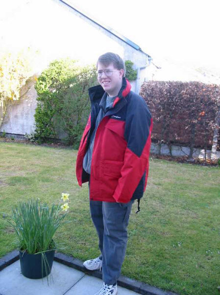
Stephen in his new coat in the garden at Broughton, about to set off for a
day's walk.
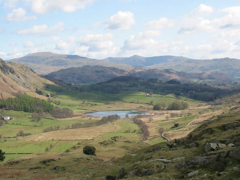
Little Langdale Tarn, meeting place of the River Brathay and Greenburn Beck
from the lower slopes of the ridge which becomes Wet Side Edge, ascending
towards Great Carrs.

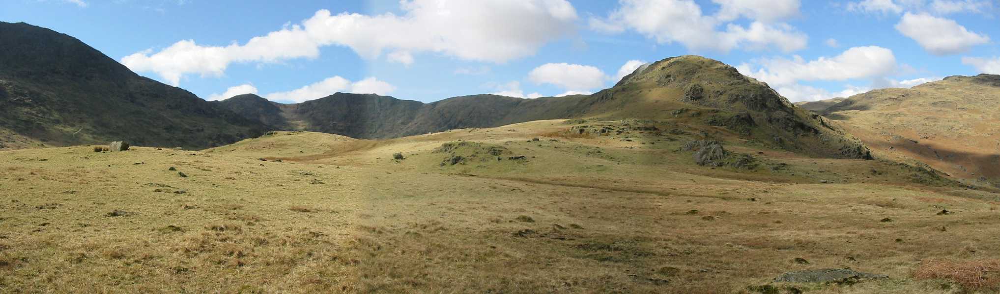
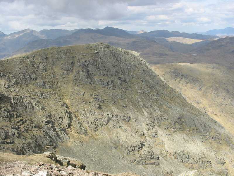
A panoramic view of the route ahead, first climbing up onto Rough Crags and
then ascending the curving ridge onto Great Carrs, then Swirl How and finally
Wetherlam. (Click photo for larger version.)
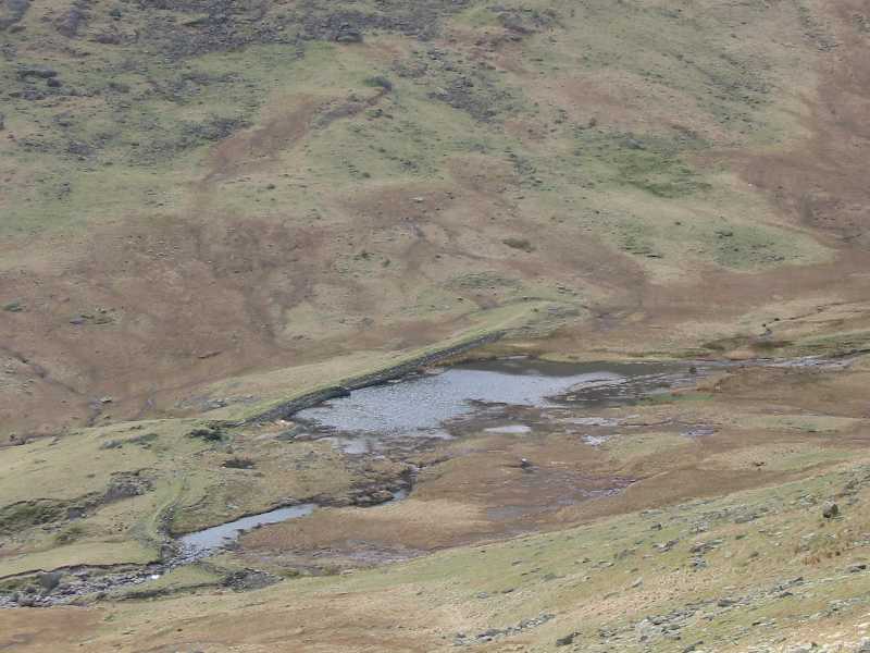
Looking down onto the remains of Greenburn Tarn, formerly a reservoir, now
disused.
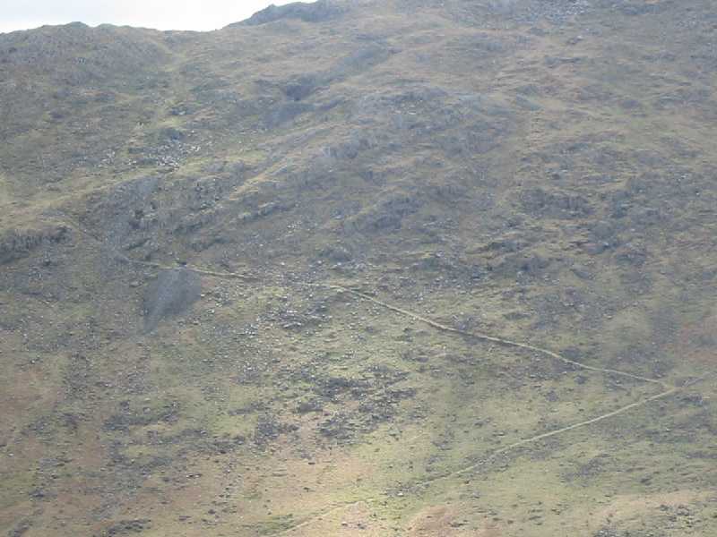
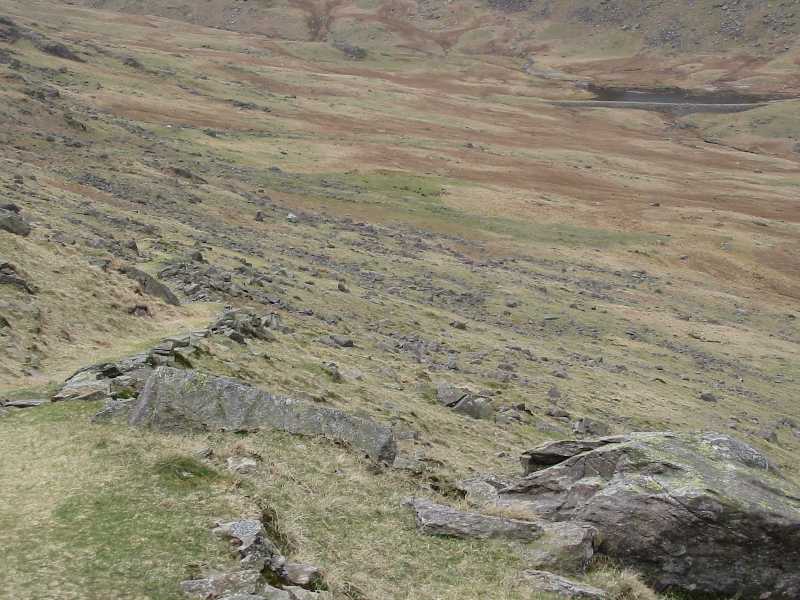
Looking across the valley, the path ascending from the valley, past various
"levels" of old mines can be seen clearly, with a less obvious cairned
path continuing onwards to the top at Birk Fell Hause. This was to be the route
of descent later in the day.
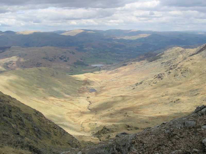
From the summit of Great Carrs, the glacial valley of Greenburn is laid out.
A panoramic shot from Great Carrs, with Swirl How on the left, The Old Man
of Coniston centre, and Dow Crag on the right. (Click photo for larger version.)
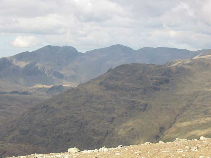
The Scafells in the distance, with the pass of Mickledore prominent.
The Skiddaw massif away in the distance.
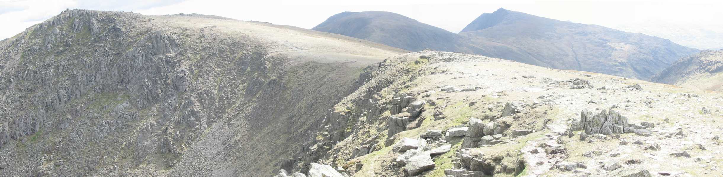
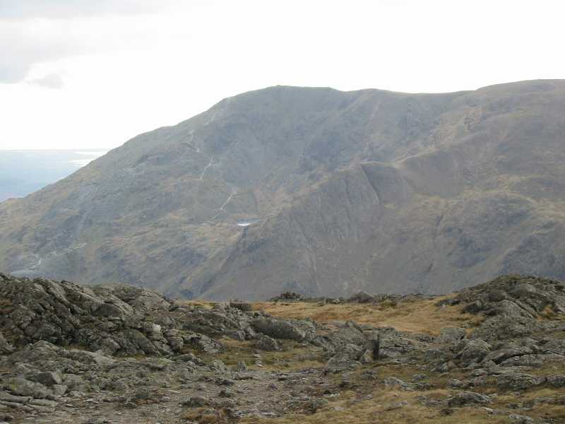
On Swirl How, the Old Man and Dow Crag peeping into view.
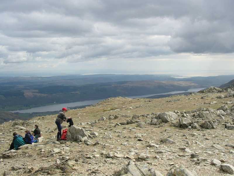
Coniston Water
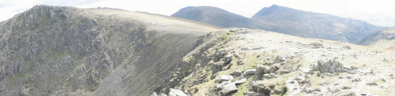
Looking back to Great Carrs
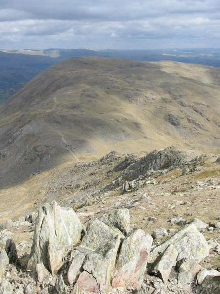
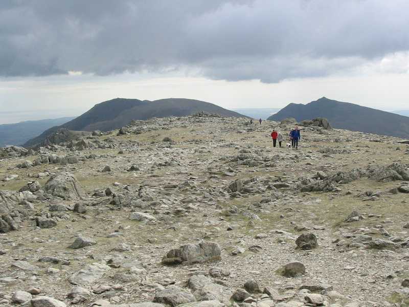
Looking to Wetherlam from Swirl How

A 360° panorama from the summit of Wetherlam (click for a larger version:
453k). Because of its separation from the main bulk of the Coniston fells, there
is an unusually unobstructed view; 69 Wainwrights are visible on a good day,
together with 14 lakes or tarns: Windermere, Blelham Tarn, Tarn Hows, Wise Een
Tarn, Esthwaite Water, Coniston Water, Beacon Tarn, Torver Reservoir, Low Water,
Red Tarn, Stickle Tarn, Blea Tarn, Little Langdale Tarn and Elterwater.
The Old Man of Coniston with Low Water just in view.
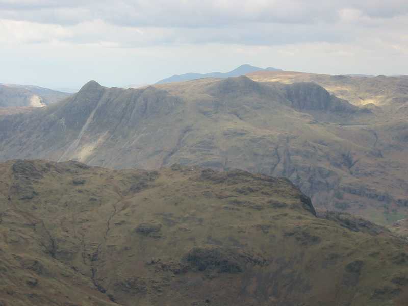
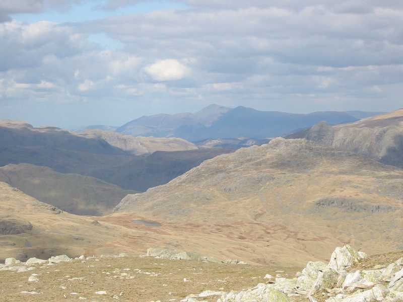
The Langdale Pikes across Wrynose Fell; Stickle Tarn is just visible.
That path, visible so clearly across the valley, proved a little difficult
to find the start of, but once found, proved a delightful and much neglected way
down to the valley bottom.
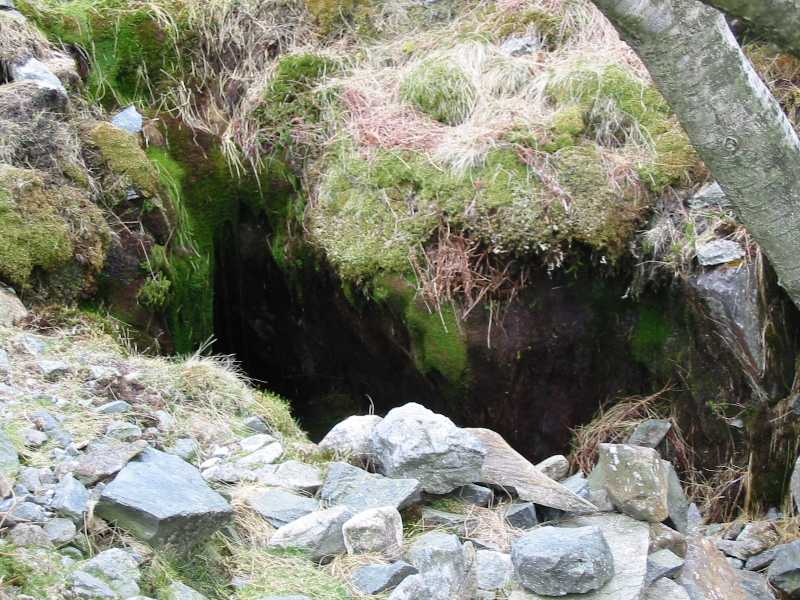
One of the dark and mysterious levels along the way.
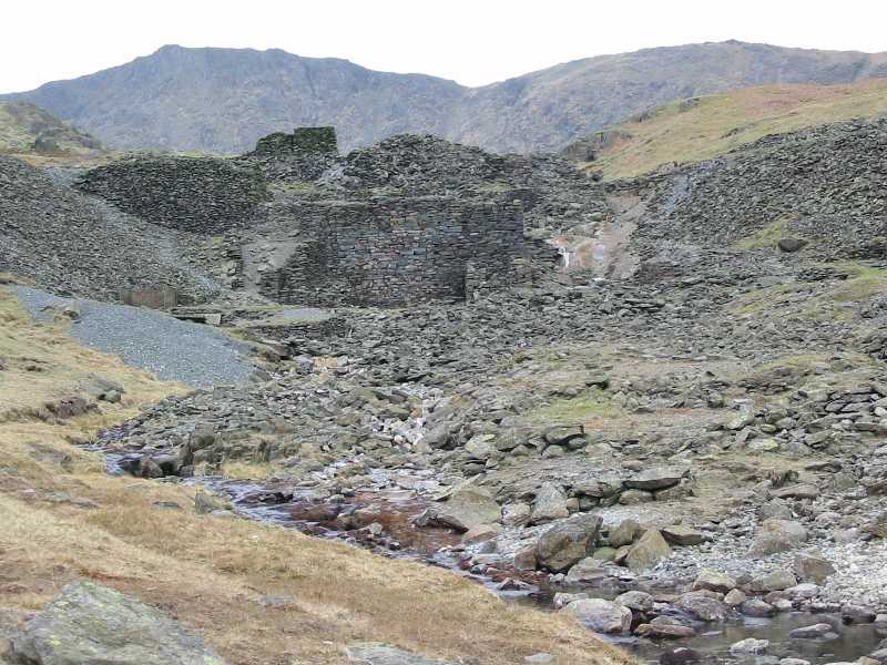
The Greenburn Copper Works provided a diverting few minutes of exploration.
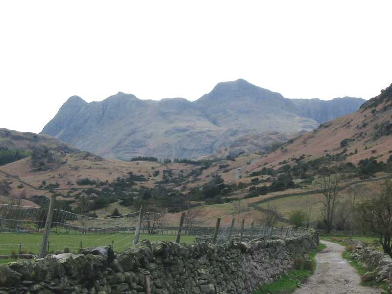
Back at the bottom, the Langdale Pikes loom on road from Bridge End back to the
car near Fell Foot Farm.
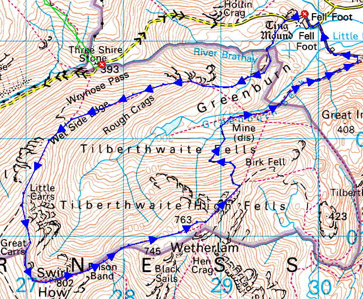 My
route for the day. Distance 10.88km, total height gain 897m, time taken 6 hours
(including stops).
|