Chanctonbury Hill and Cliffe Hill,
South Downs
30 January 2005
Chanctonbury Hill
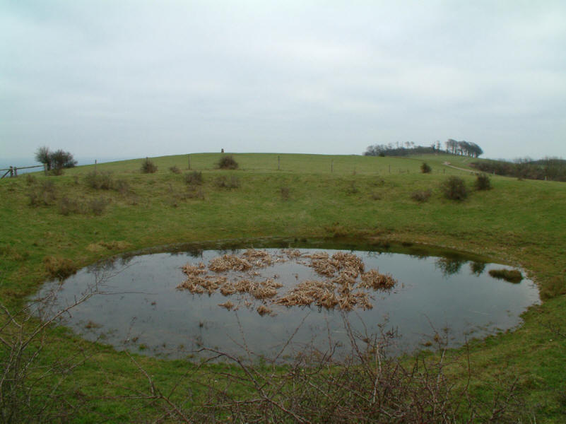
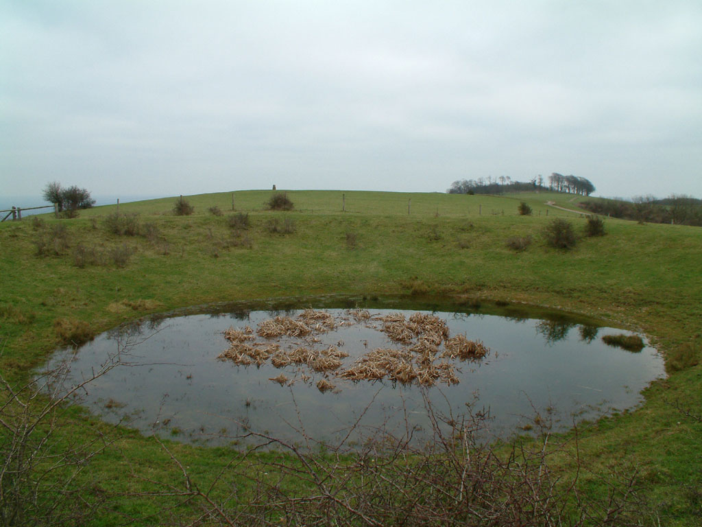
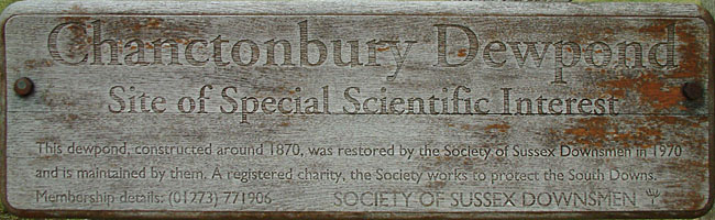
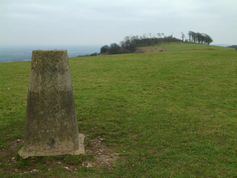
Chanctonbury Dewpond on the top of Chanctonbury Hill, north of Worthing in West
Sussex. On the horizon centre-left can be seen the trig point (238m above sea
level), and trees on the ancient hill fort of Chanctonbury Ring (about 242m
above sea level)
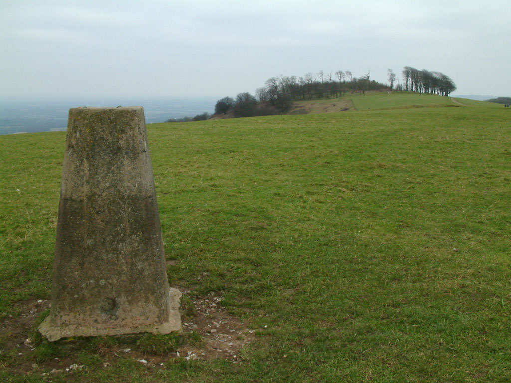
Chanctonbury Ring from the trig point

Standing on the earth bank of the hill fort, with the ground declining into the
accompanying ditch. Chanctonbury Ring is a small hill fort which commands
extensive views across the weald to the north, and has the ridgeway, now part of
the South Downs Way, running along its summit. Pottery found and carbon dating
on an animal bone suggests the fort was built in the early Iron Age, in the 6th
to 5th centuries BC, but some Bronze Age pottery has also been found on the
site. There are the remains of Roman buildings within the Ring, including a
temple, and another building which is thought to be Romano-British, and human
remains approximately 1000 years old have been found there, demonstrating the
long period over which the summit has been used by man.
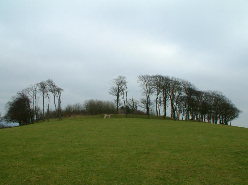
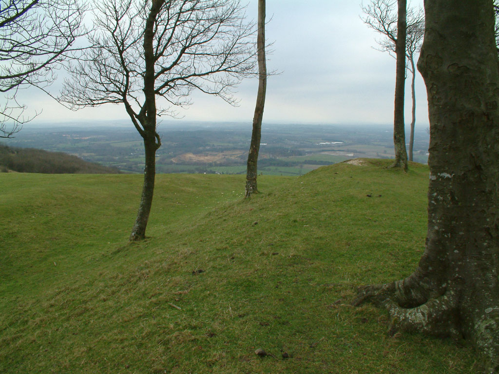
However, the fame of the Ring is due not to the hill fort itself but to the
beech trees, which were planted in 1760 by Charles Goring. They became a
prominent landmark, but were badly hit by the great storm of October 1987, and
though replanted, will take many years yet to return to their past glory.
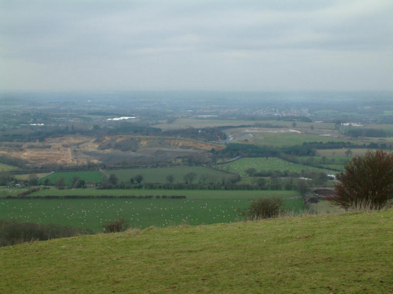
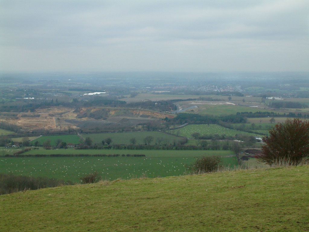
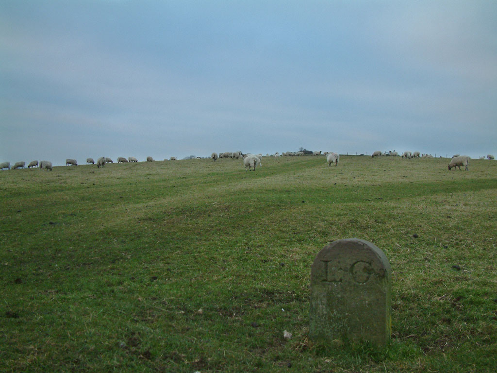
Looking north as I descend towards the car park, a huge sand quarry is
prominent, as are the hundreds of sheep filling the fields.
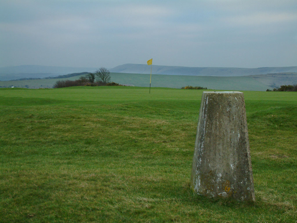
Cliffe Hill
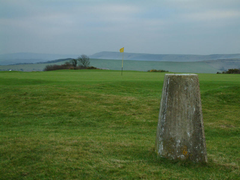
The summit of Cliffe Hill near Lewes in East Sussex is occupied by a golf
course.
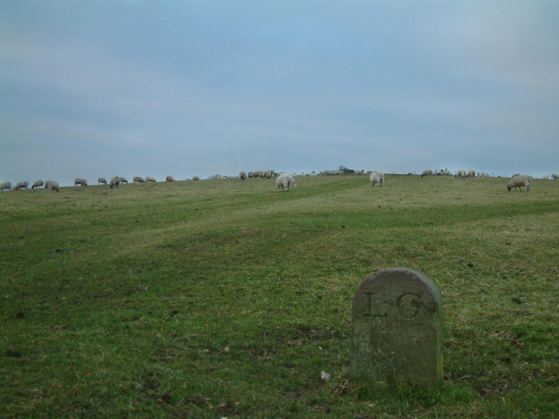
A boundary stone on the descent back to Week Lane, marking the (old) boundary
between Lewes and Glynde parishes.
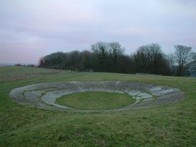
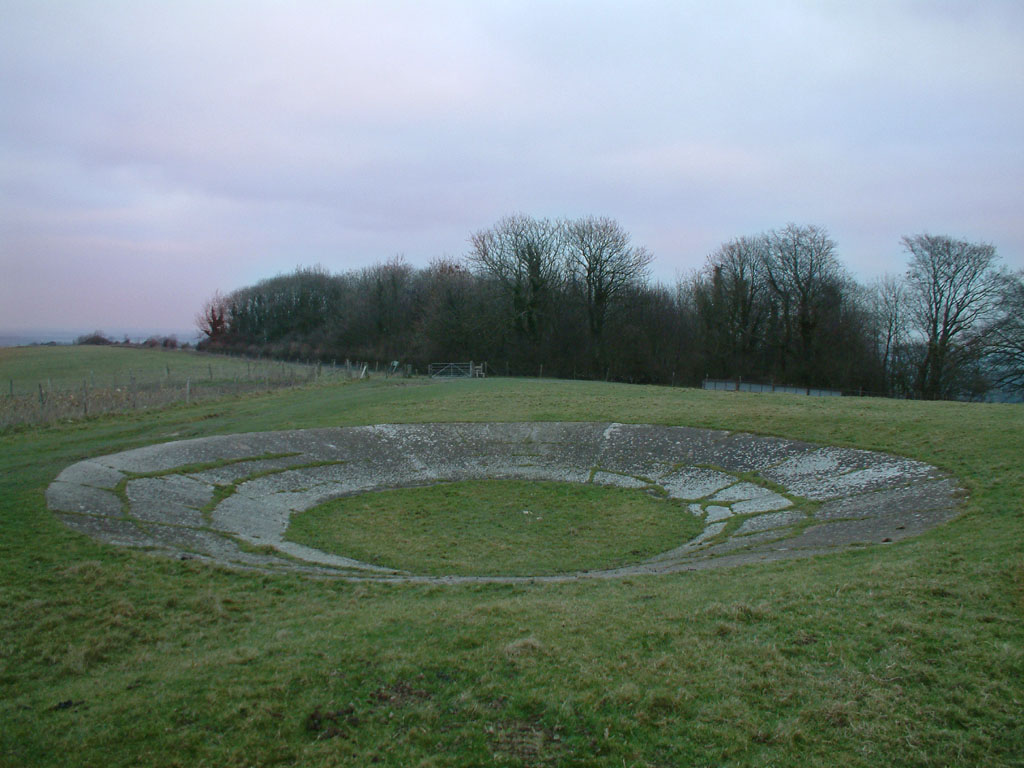
And coming full circle, another dew pond, this time dry.
|