Basingstoke Canal
22 November 2008
With Lucy taking Ellie to a show between Woking and
Farnborough, Stephen and George took advantage of the opportunity for a
lift to the Thames at Weybridge, from where they would walk up the Wey
Navigation and then the Basingstoke Canal as far as time allowed before
Lucy and Ellie finished at the show.
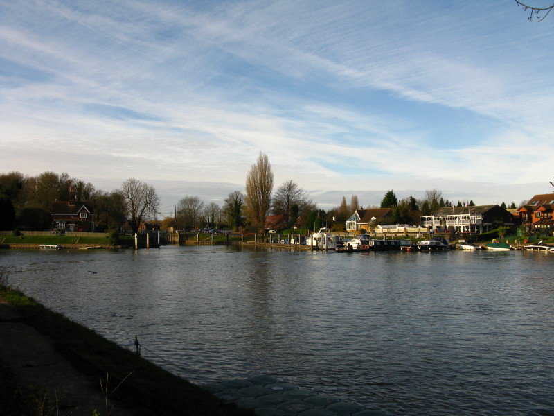
So here we are on the banks of the Thames, just below Shepperton Lock (seen
centre-left); the foot ferry is just making its way to the north bank -
unfortunately by the time I'd got the camera out, it was merging in with the
other boats. You can see it more clearly on
our walk along the
Thames here in August 2007. The combined waters of the Rivers Thames and Wey
comes in from left of picture.
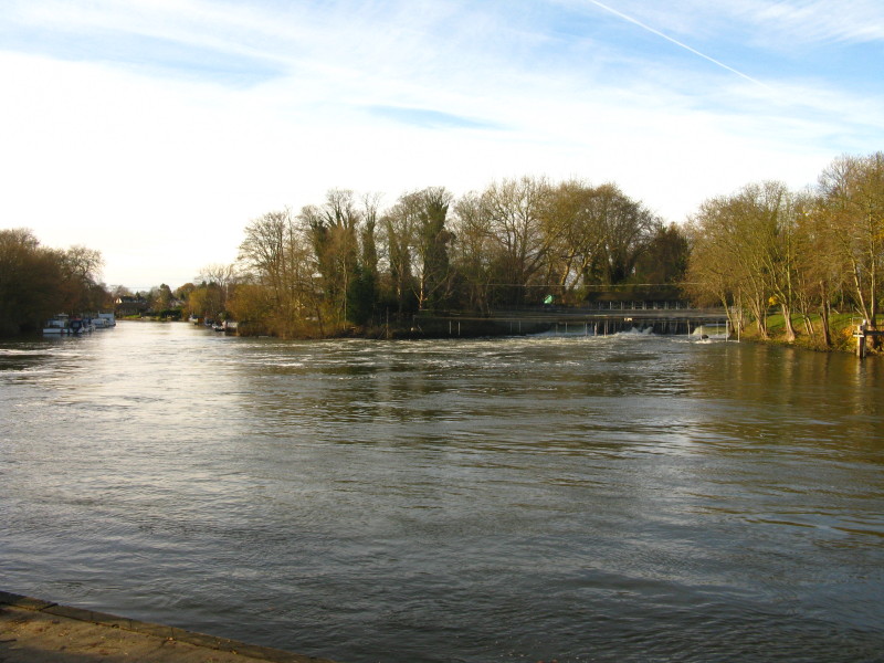
Just around the corner on the previous picture, we can now see the waters of the
Thames coming down the weird, and the Wey meeting them from the left.
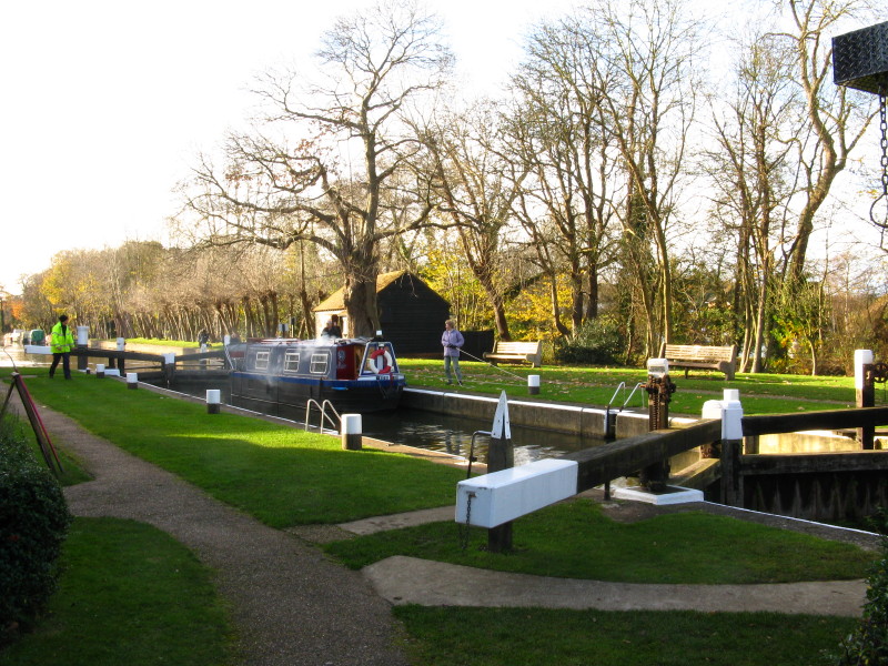
After a slightly confusing walk through alleyways, and past signs alternately
welcoming us and then telling us that it was private property and we could
approach only with permission (this latter being aimed at cars, it later
transpired), we reach the first lock on the Wey Navigation, Thames Lock.
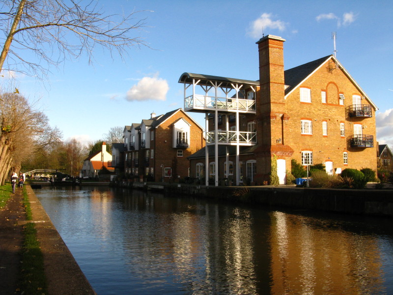
Looking back to Thames Lock and the attractive old warehouse buildings
George and I make our way along the Wey Navigation, passing over a bridge where
waters fall from the navigation towards the river.
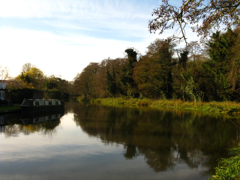
A moored narrowboat on a wide bend in the river
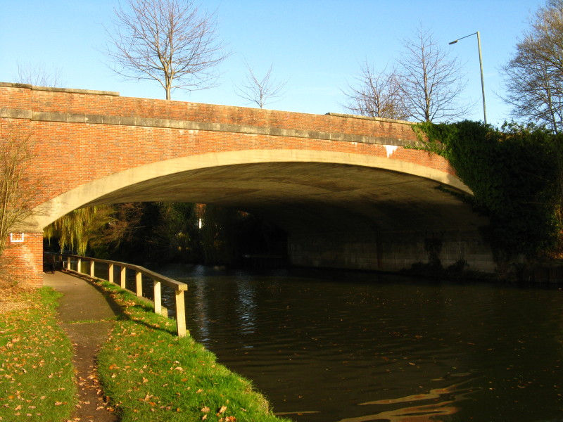
Weybridge New Bridge - a remarkably wide bridge for a two-lane road, which
therefore carries wide grassy verges at great expense.
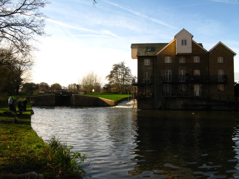
Coxes Mill, now converted into flats, next to Coxes Lock. This mill was the last
destination for commercial cargo on the canal, with grain being brought here by
barge until 1968, by which time the Navigation had already been given to the
National Trust who still manage it. There was a brief revival of barge traffic
in the 1980s, but now it is solely leisure boats.
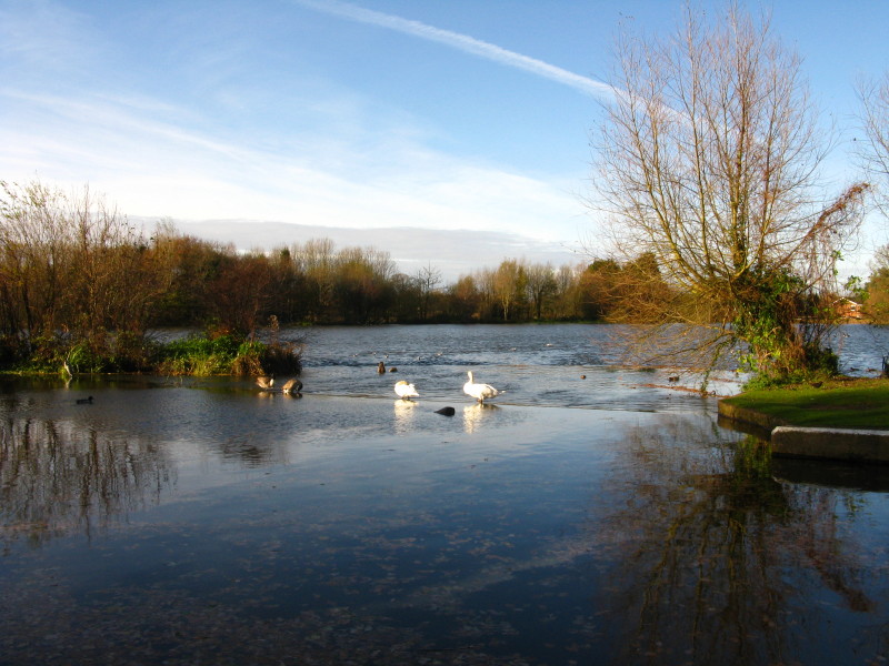
Immediately above the lock is the large mill pond, managed by the National Trust
as a wildlife habitat.
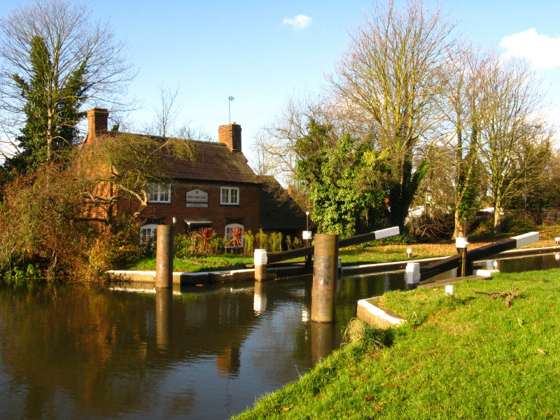
The next lock is New Haw lock with its pretty lock cottage.
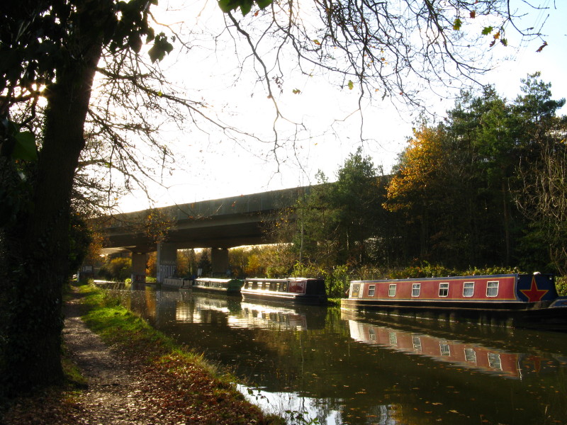
There is a longish straight section which passes underneath the M25 viaduct. It
is surprisingly peaceful considering there is an eight-lane motorway up there:
the wooden noise deflectors are very effective.
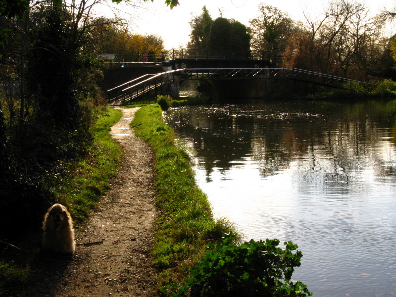
Once under the M25, the Wey Navigation passes under the mainline railway to
Portsmouth. This is the furthest north that Lucy and I got when we took a boat
on the Wey & Godalming Navigations, so I've now visited all of the Wey on foot
or by boat. George and I take the footbridge across the Wey, turning right onto
the Basingstoke Canal.
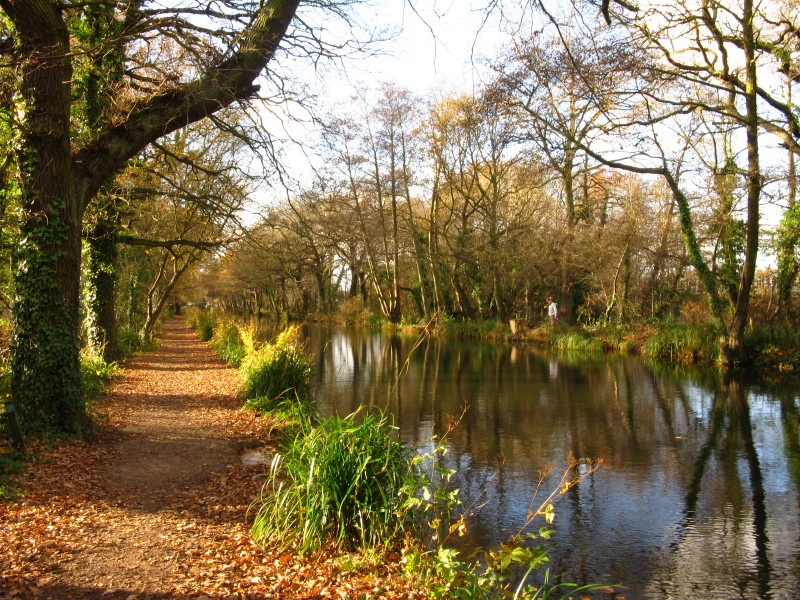
So here we are on the towpath of the Basingstoke Canal. Opened by 1794 to convey
agricultural produce to London, it was never a great commercial success, and the
building in 1839 of the railway we've just seen added to its woes. It was first
put into liquidation in 1866, it had a series of further owners. The last barge
reached Basingstoke in 1913, and the Greywell Tunnel collapsed in 1934. The last
commercial traffic was to Woking Gasworks in 1950. It was then sold to the
infant Inland Waterways Association, who sold it to the New Basingstoke Canal
Company, and it is now owned by the Hampshire and Surrey County Councils.
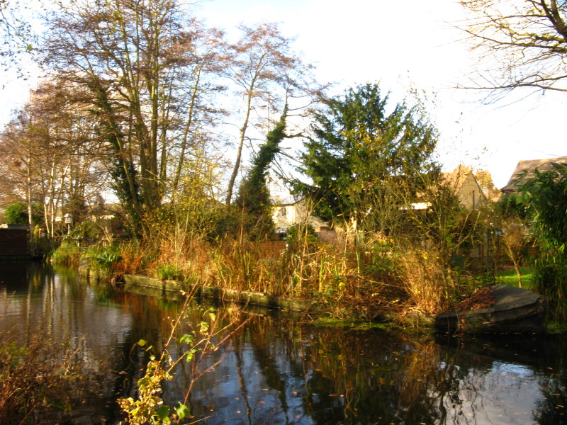
Dense vegetation has colonised this old barge
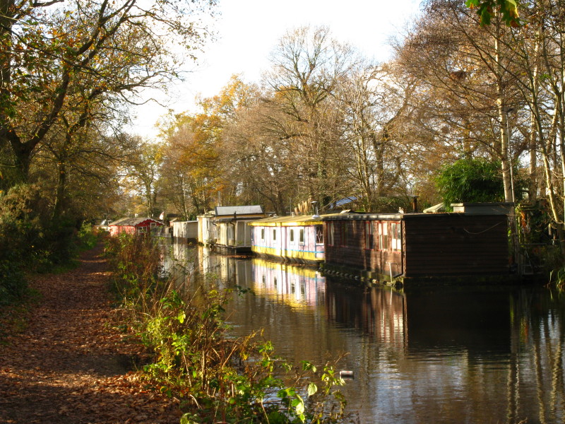
Houseboats line the bank
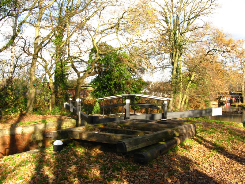
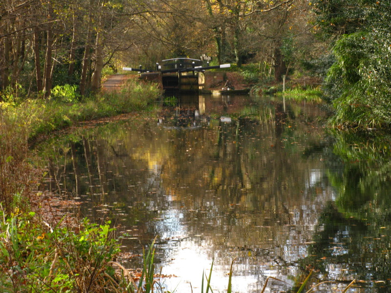
Lock gates next to the second of the six Woodham locks
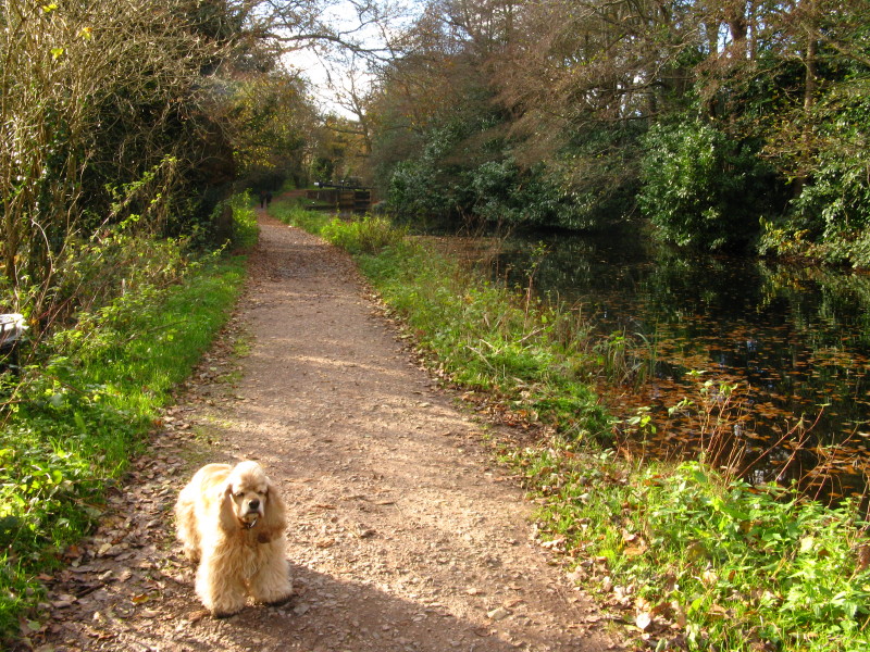
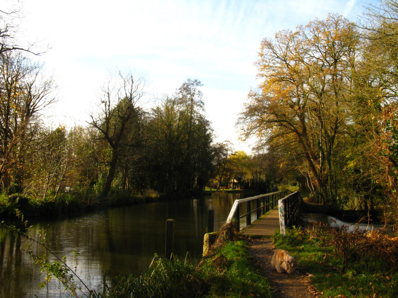
George, fluffy but with dirty paws, as we head towards the third lock
Lock 5 of the Woodham flight
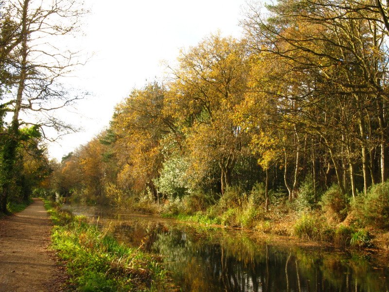
And this is Woking. One of the remarkable things about most of this walk is that
while pretty, it is only superficially rural
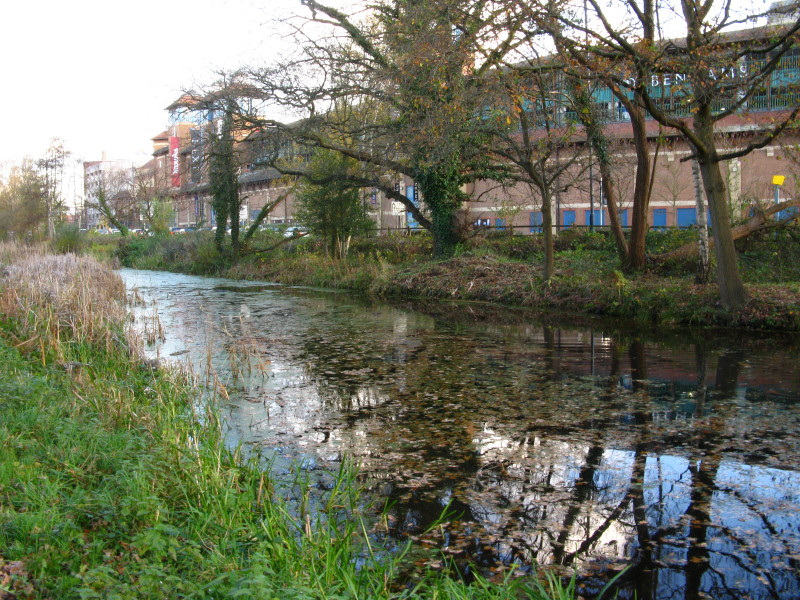
From nearby, a look in the other direction shows Woking in a different light
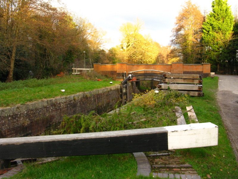
Approaching the third of the five Goldsworth locks in the St John's suburb of
Woking
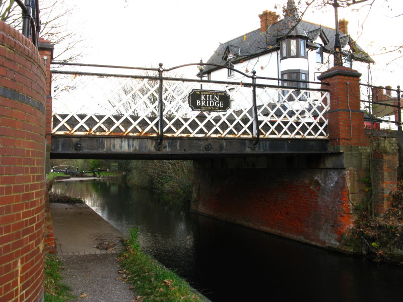
Kiln Bridge in St John's
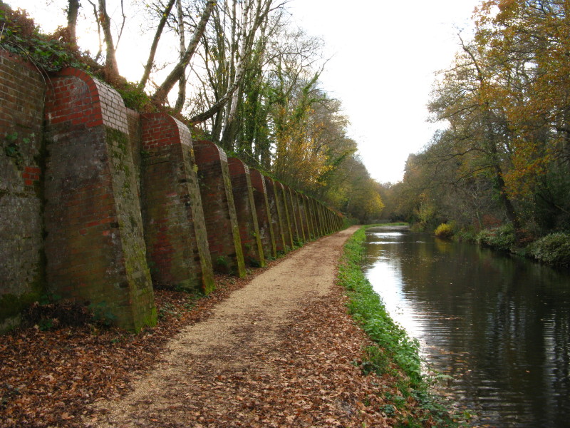
The brick butresses hold up the railway embankment on the railway's closest
approach to the canal
After passing the three Brookwood locks, we come to the first of the Deepcut
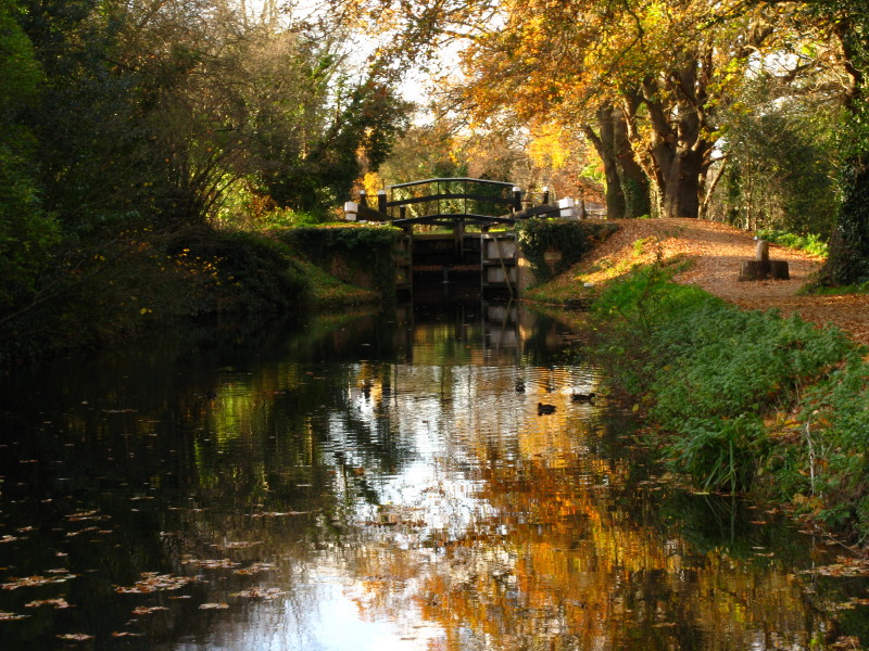
locks by Pirbright Bridge, but here is journey's end for today.
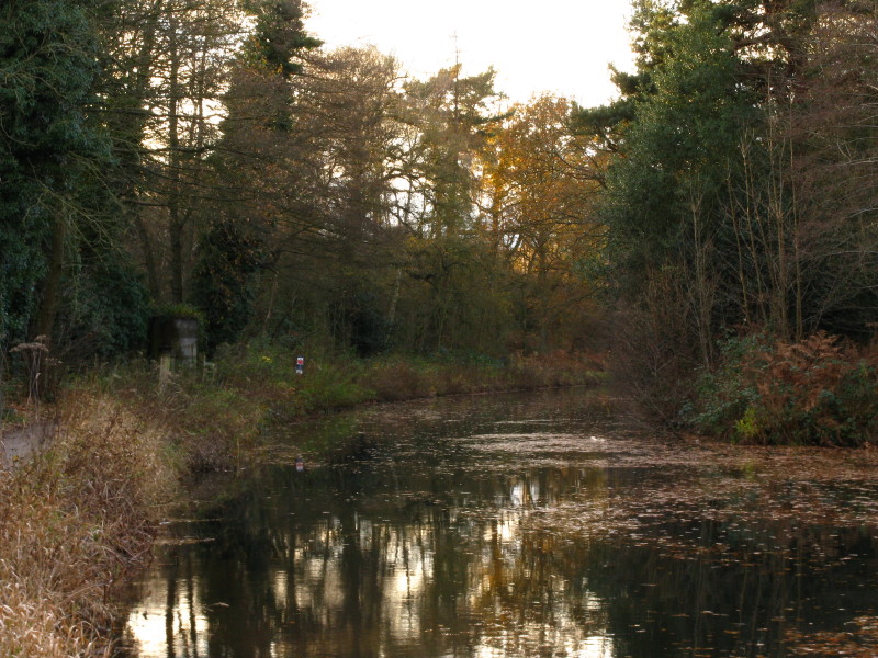
Looking upstream, the setting sun shows it is time to go home; the abutment of
an old railway bridge can be seen on the left, the railway once running up into
the army camps where Lucy's dog show has been taking place, and where Ellie won
her class.
Zoom in for more detail, or see map in larger window: Ordnance Survey |
Open Street Map |
Google Maps
Total distance 19.9 km in a leisurely 4 hours 35 mins.
|