Angles Way 5: Diss to Brockdish
4 February 2012
Another Saturday morning, another walk on the Angles Way. With Lucy heading west
to a dog show, I looked at last week's trick of cycling from the finish to the
start, but there is no very obvious nice quiet route. Additionally, with the
weather forecast to be around or just below freezing, a bike ride was less
attractive. But as the route largely parallels the A143 road, it is on a fairly
decent bus route, and a quick check of the timetables online showed that there was
an 0904 from Brockdish that would drop me off in Diss. The bus was very prompt,
which was just as well as it was cold standing still - there had been some snow
in Brockdish and it was hovering between drizzle and snow as I waited.
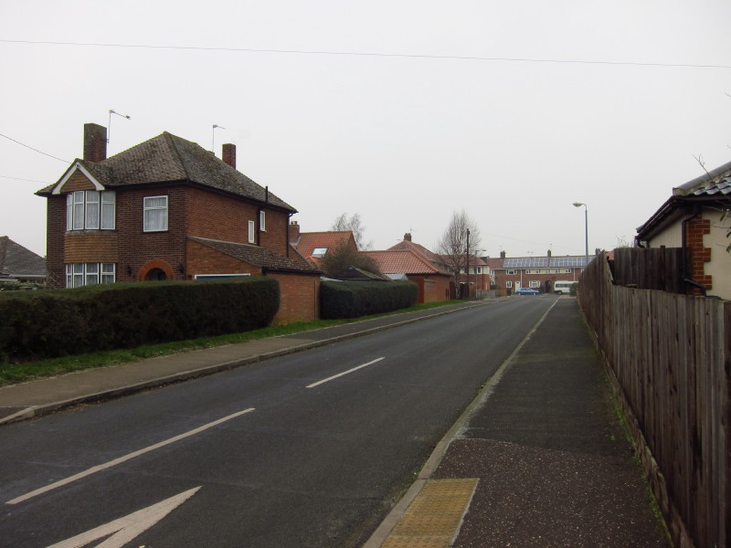
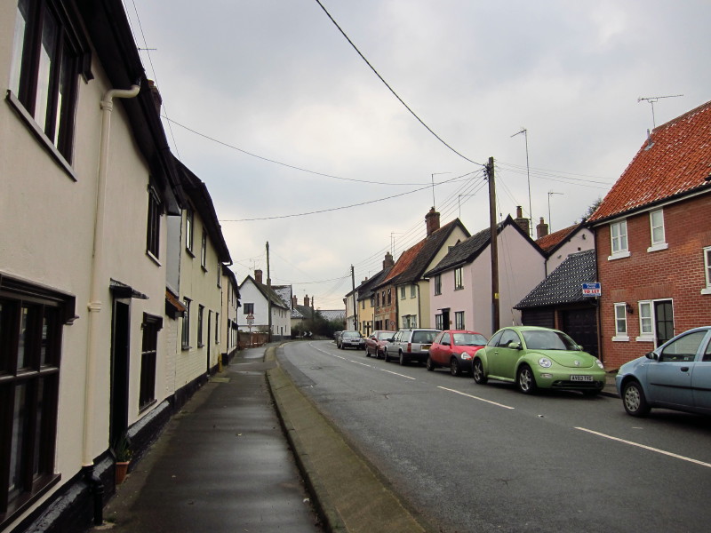
After a short walk through Diss, I arrive at Willbye Avenue where I parked the
car last week. John Willbye was the son of a Diss tanner, famous as an
Elizabethan composer and a master of madrigals, according to the signpost.
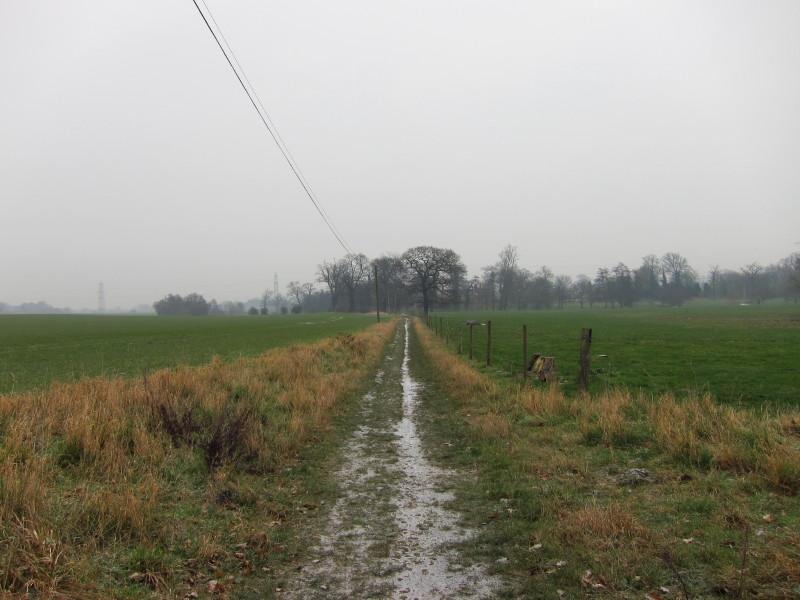
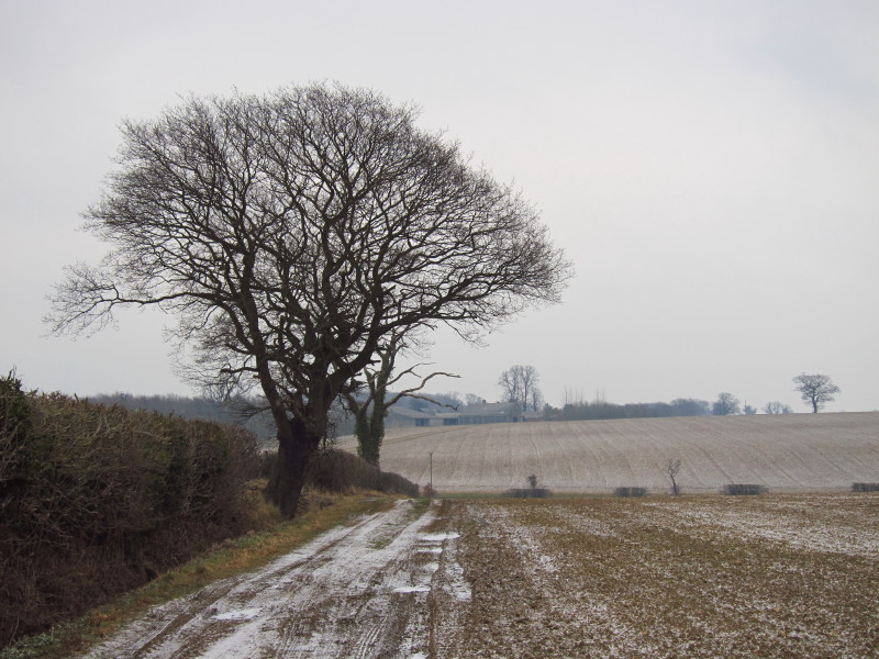
After exiting Diss along Frenze Hall Lane, I take this track along the edge of
fields - at first glance, that looks like a damp path, but the light colour is
snow/frost.

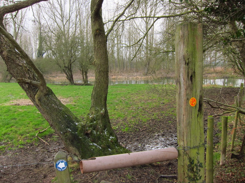
The restricted byway crosses a ford here, but fortunately there is a permissive
path which has a bridge. I'm not sure of the name of this stream which is
unnamed on all my maps, but it is shortly going to join the Waveney
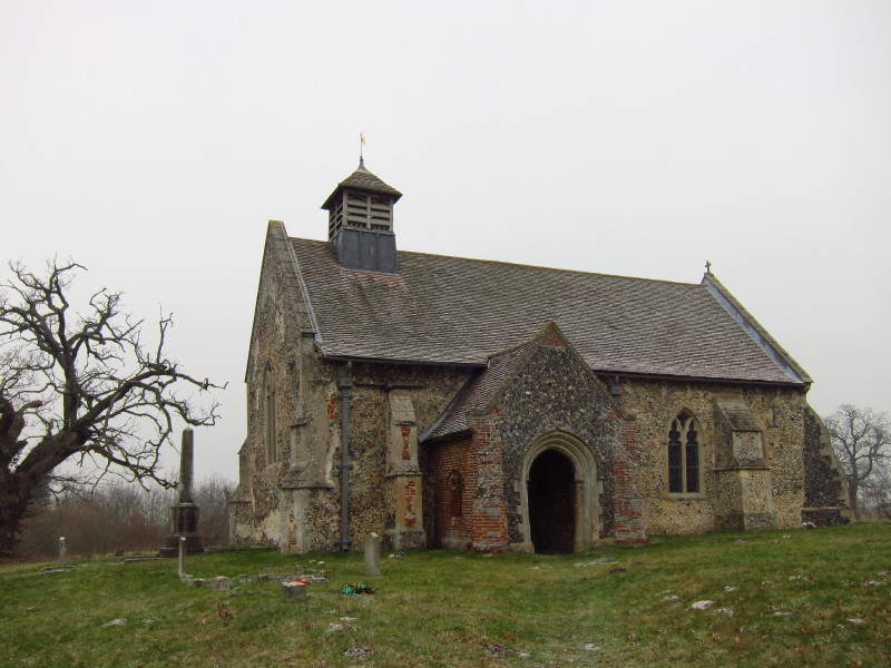
The redundant church of St Andrew at Frenze, built in the 14th century with the
porch added in the 16th. It is now in the care of the Churches Conservation
Trust.
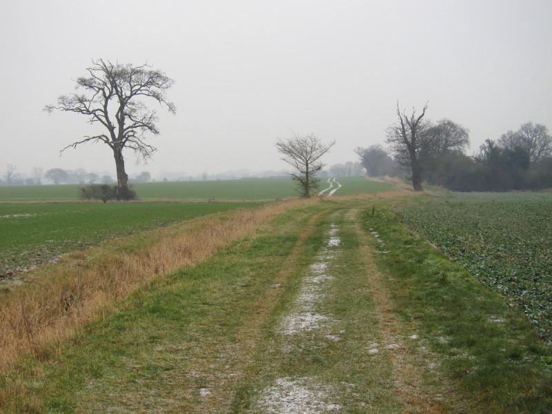
There was a smattering of snow lying on the ground, but once off the pavement of
Frenze Hall Lane in Diss (which was extremely slippery) it didn't cause me any
problems. The wind was cold, taking the wind chill well below zero, but the low
temperatures meant that the ground was very firm and there were no problems with
mud today.
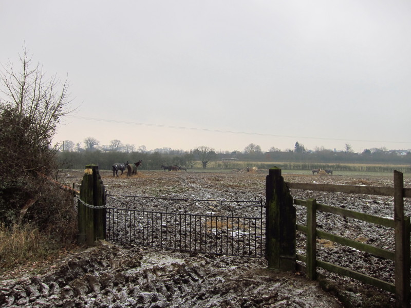
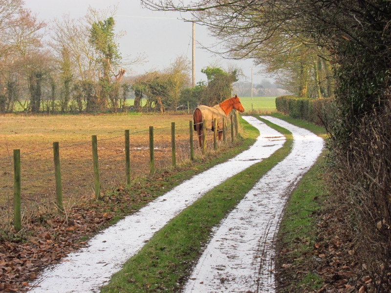
Quite a few horses in a very muddy field
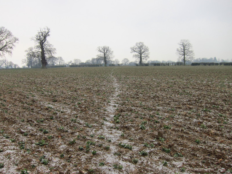
Taking the public footpath across this field: the frozen ground was a bit
awkward being so ridged, but better than mud.
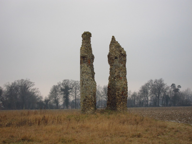
Remains of the 12th century tower of St Mary's church at Thorpe Parva. The
church was demolished in 1540 but the tower was left standing and used as a
dovecote. There's not really anything left of the village, either - even the
1891 census showed a population of just 12.
Crossing towards Hall Farm
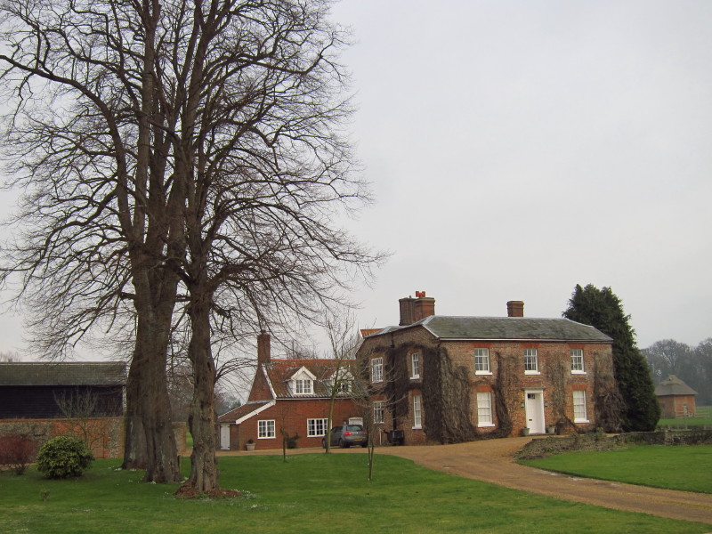
The farmhouse at Hall Farm
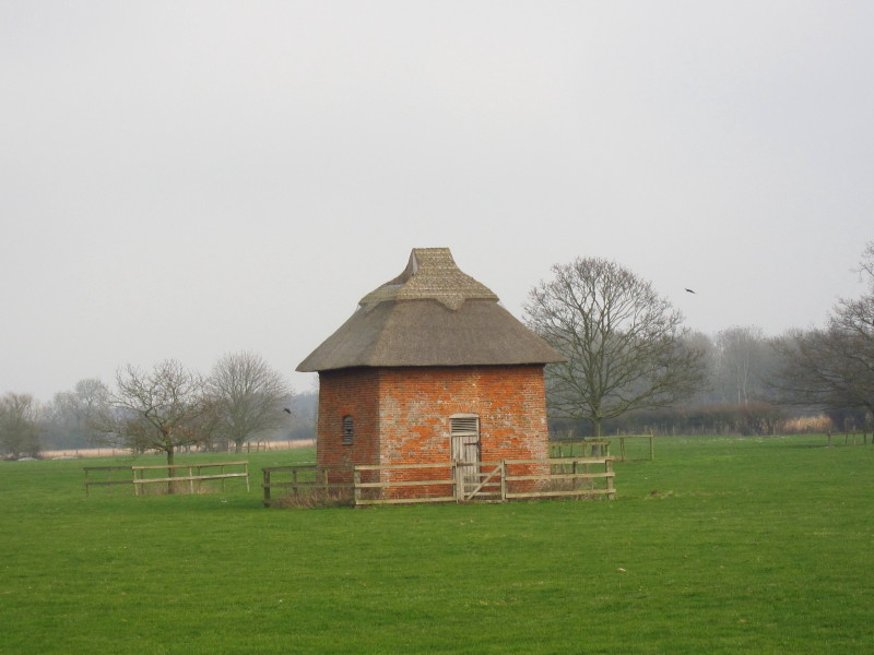
The dovehouse at Hall Farm
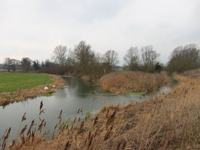
There was a short bit of road walking along Kiln Lane and then the A143 before a
heavily churned up track brought me back to the bank of the Waveney, which
coming in on the right of picture joins the River Dove which travels north from
near Mendlesham and its watershed with the River Gipping.
A little further brings me to territory I visited last April: this is the start
point of the Mid-Suffolk Footpath which runs up the Dove valley and then down
the Gipping valley to Stowmarket.
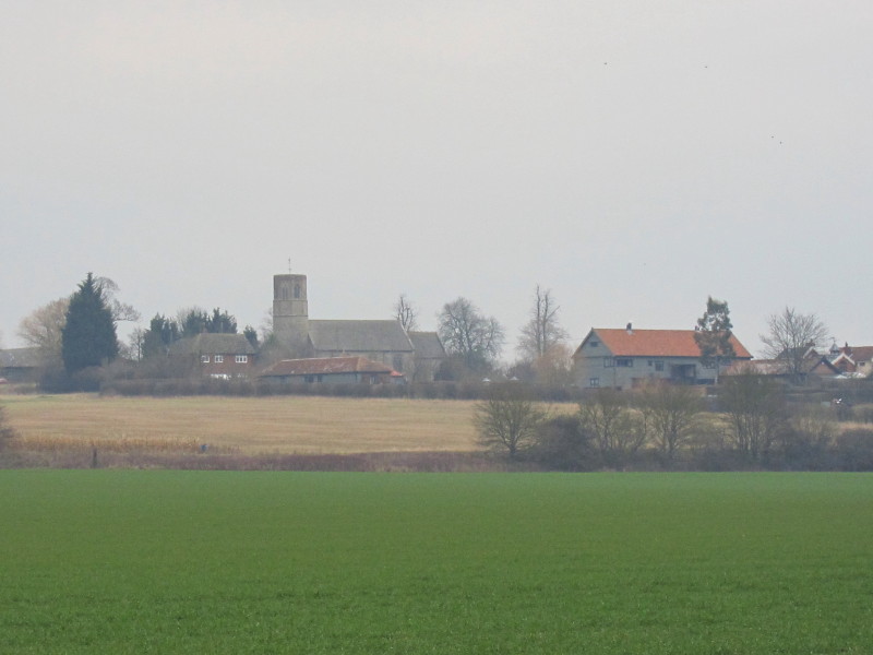
Looking across a field to Thorpe Abbotts church; the farm ("thorpe" in Danish)
was given to the Abbey in the 10th century. The church includes Saxon features
and so may date from that time.
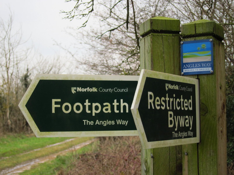
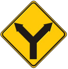
I remember being confused at this point when I was heading for the Mid-Suffolk
Footpath last year, as it's not entirely unambiguous what either of these signs
are pointing to - there are more than two options. However, with more knowledge
this time, it was much easier.
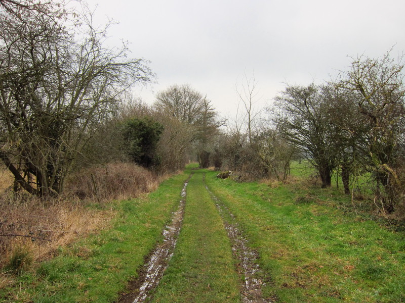
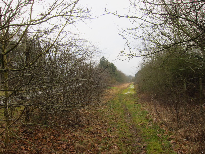
I followed this track between hedges for quite some distance, on the flood-plain
of the Waveney but far enough away not really to be able to see the river.
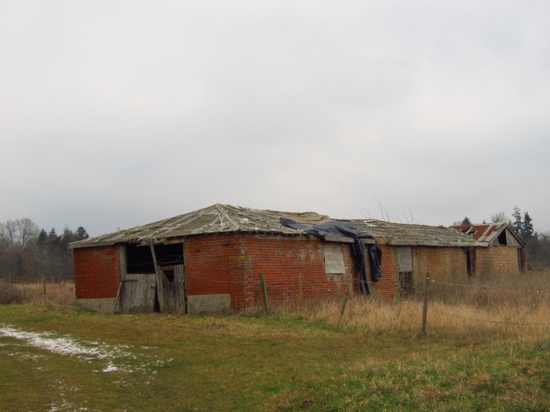
The track then bends uphill past this ruined farm building towards Thorpe
Abbotts and the A143.
However, the construction of the "new" A143, the Brockdish and Needham bypass,
just visible through the hedge on the left has left the old A143 as a bridleway,
with little bits of tarmac peeking through in places. This took me a bit closer
to Brockdish, but then the Angles Way planners and the villagers of Brockdish
may have had a falling out as the path does a three-sided skirting of the
village. Arguably for a rural long-distance walk it is better than a pavement
bash into the village, but it looks rather odd on the map.
Having passed the church, this back lane continues my route around the back of
Brockdish
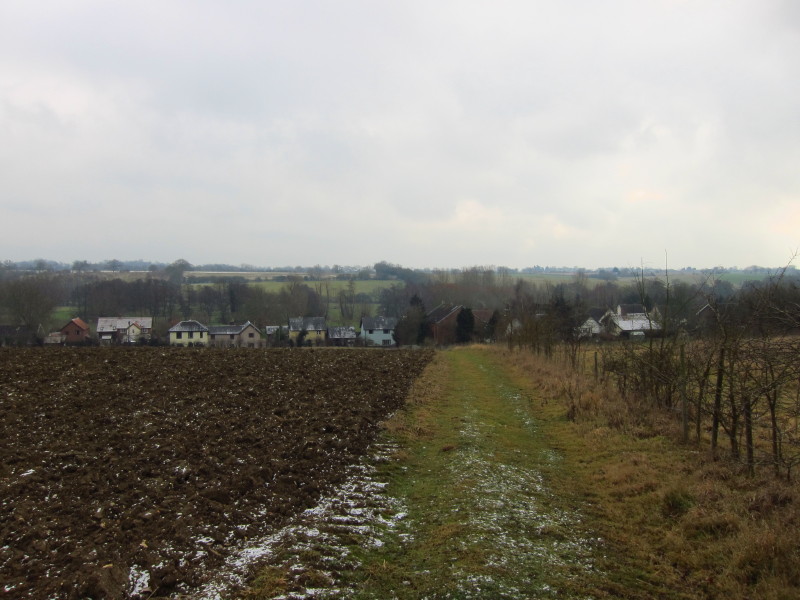
Around several fields, down a lane, across more fields and then down this hill
finally takes me into Brockdish with views across the Waveney valley
Finally a short walk along The Street brings me back to the car, ready for the
drive home in time to give the dogs a walk before the proper snowfall arrives.
Total walk was 15.0 km in 3 hours 23 mins (including 14.1 km along the Angles Way).


|