Gipping River Path 2: Broomfield Pit to Ipswich and the Orwell
Bridge
26 November 2011
The River Gipping flows from Mendlesham Green to
Ipswich, where it becomes the Orwell. Between 1790 and 1793 it was made
navigable between Stowmarket and Ipswich as the Ipswich and Stowmarket
Navigation, and though the navigation fell out of use in the early 20th
century, the former towpath is available for walkers. Today we walked
downstream from near the gravel pits at Broomfield, continuing where
we'd got to on the first walk from Stowmarket
in March.
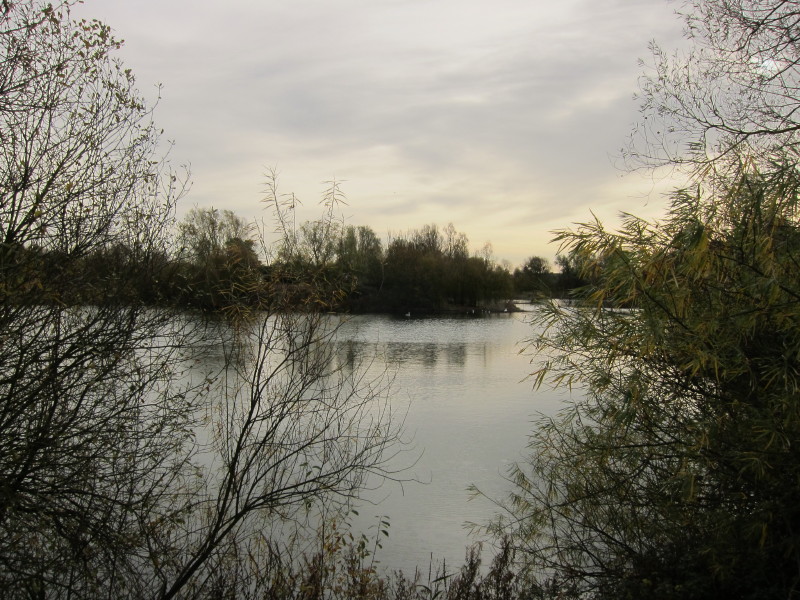
Walking between old gravel pits from the car to the river
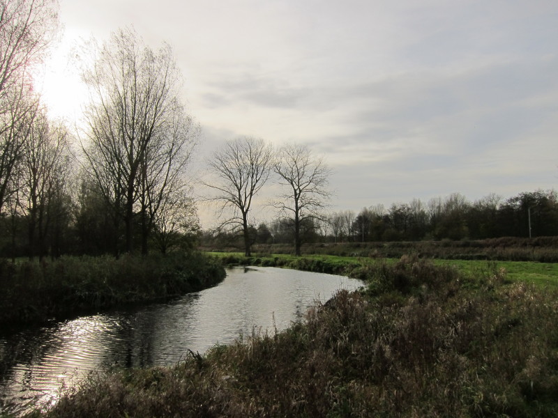
The river and the railway run closely together for much of their length
Approaching the Old Paper Mill
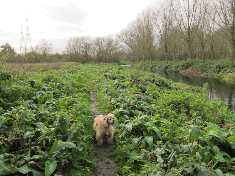
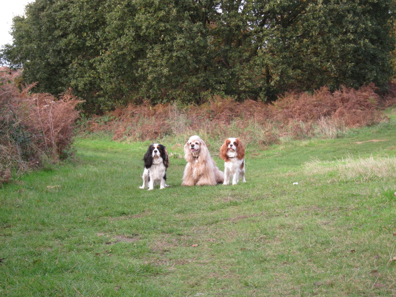
A gently muddy George
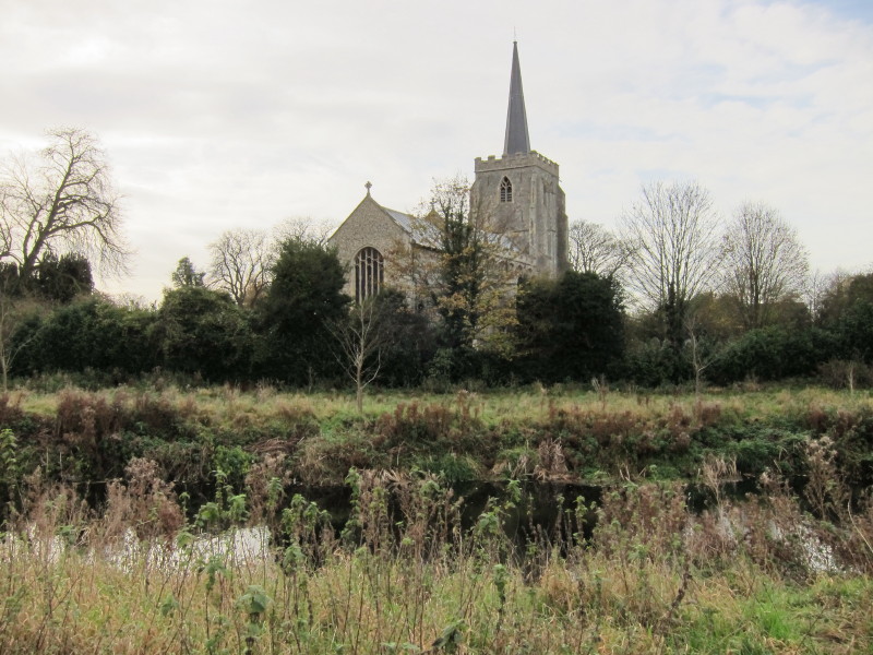
Bramford church
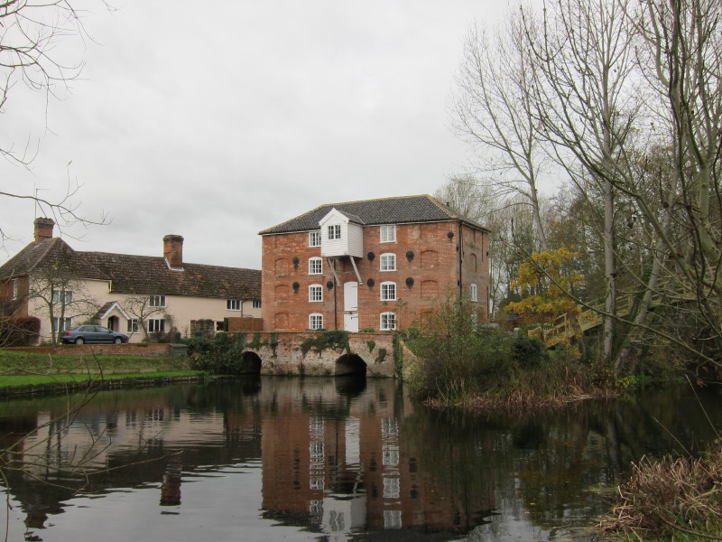
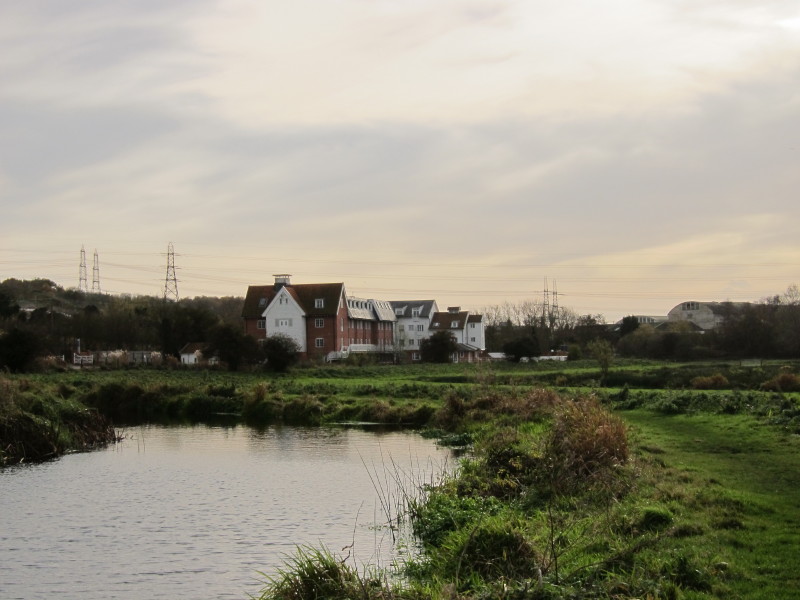
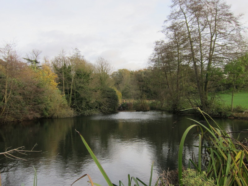
Sproughton Mill just below the site of the lock
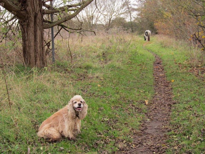
George pauses as we spot a horse grazing on the path ahead
George helpfully shows the way
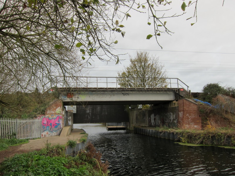
Heading under the mainline railway with a flood gate ahead
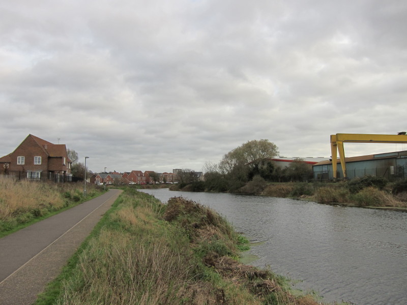
And the walk's character now begins to change as we are in Ipswich
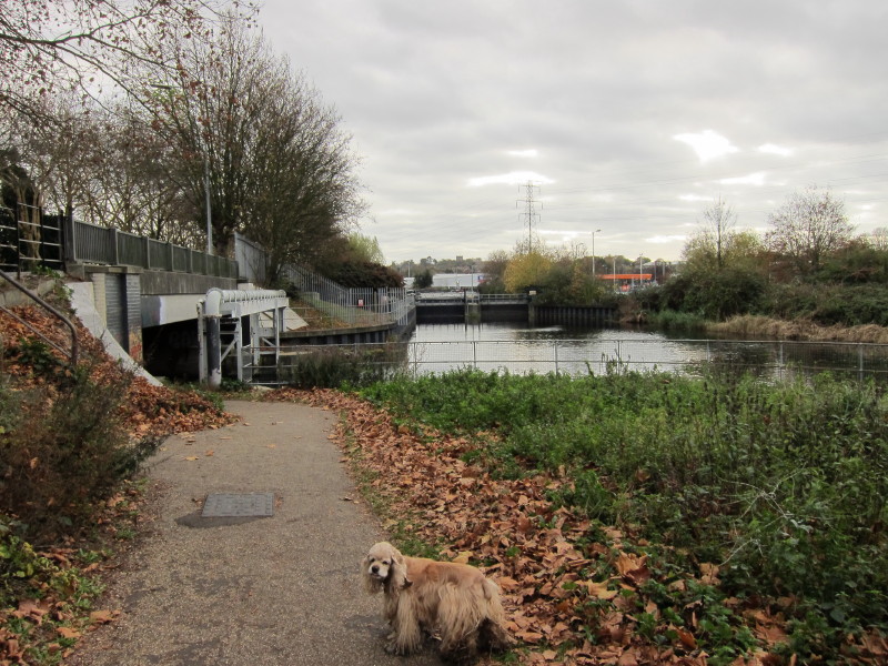
That barrier ahead is the point at which the River Gipping becomes the
River Orwell, diving the semi-tidal from the non-tidal. But our way lies
to the left under that bridge...
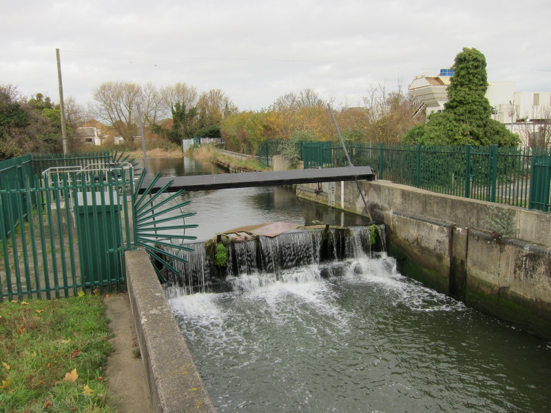
...for a bit more of the Gipping, eventually reaching this weir
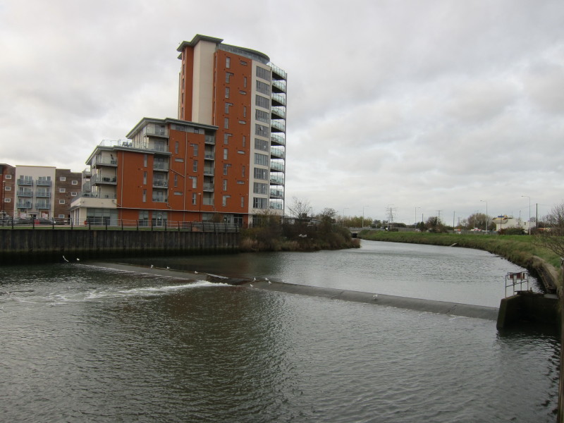
We cross West End Road and here is the weir which divides the tidal from
the semi-tidal part of the river.
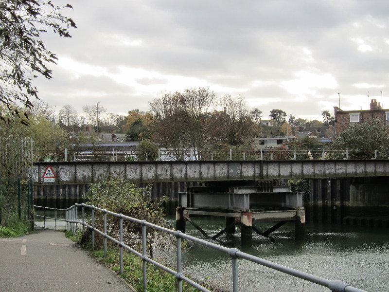
We head under the docks branch of the railway, which hasn't seen a train
in many a year. Ahead through the bushes you can see trains on the main
line.
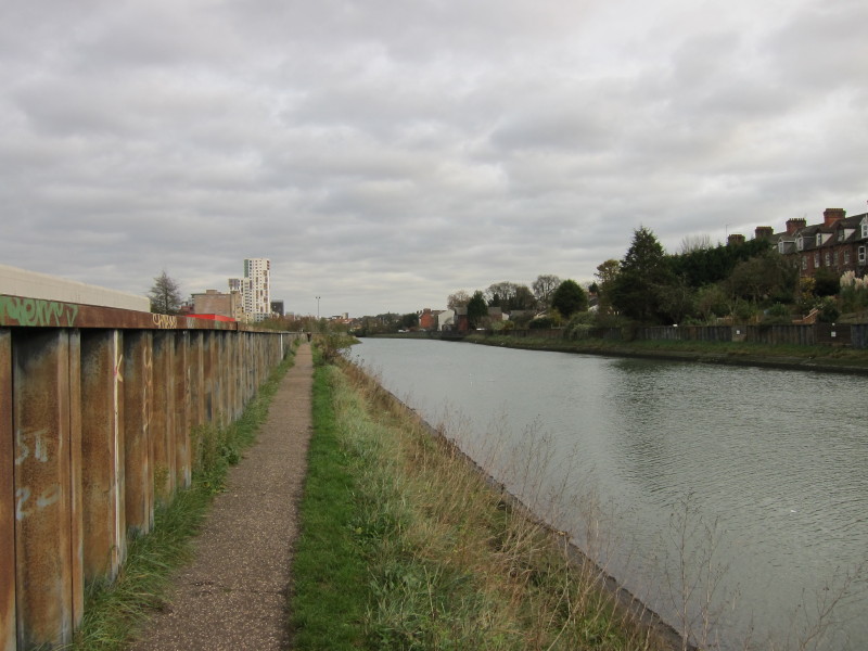
Just past Station Bridge, we continue along the tidal River Orwell
On the other side of the wall, fenced off from the retail park, is more
evidence of the dock branch of the railway.
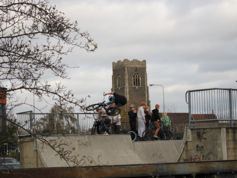
Some acrobatic biking was going on
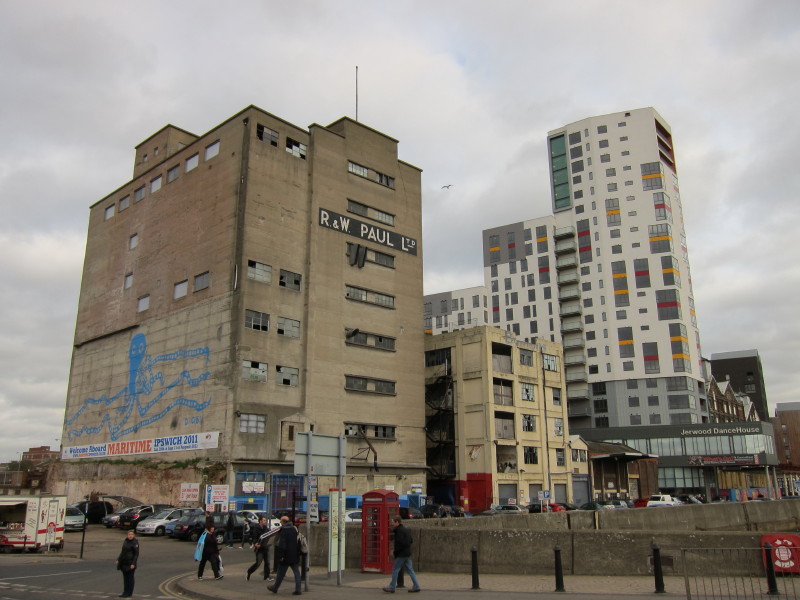
Crossing Stoke Bridge, there are ever fewer of the earlier dock
buildings left, many having been replaced by apartments and Suffolk
College buildings.
The Gipping Valley River Path really ends here, but we're continuing our
walk along what is part of an alternative route of the Stour & Orwell
Walk.
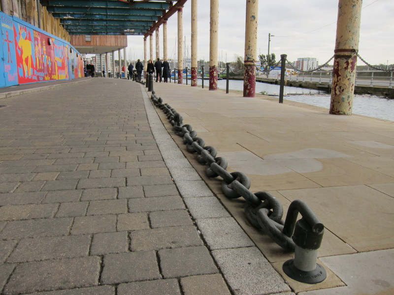
On the leisure-oriented dockside, chains are now decorative
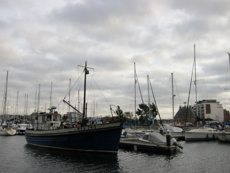
But there are still plenty of boats about
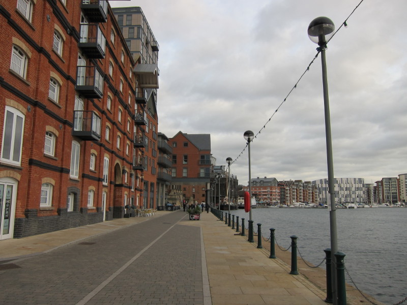
It's rather pleasant along here, though I always found it evocative when
the railway lines were still on the dockside. The Wet Dock here was
opened in 1842 and at the time was the largest such in England.
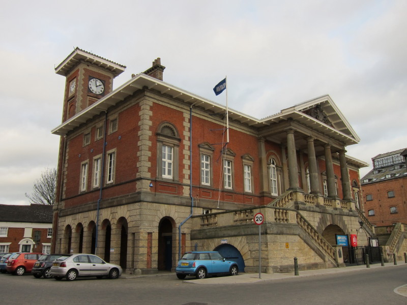
The Old Customs House was built in 1845 and is the home of the Ipswich
Port Authority
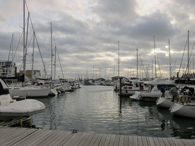
Lots of boats in the Wet Dock
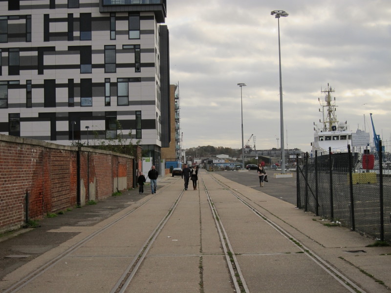
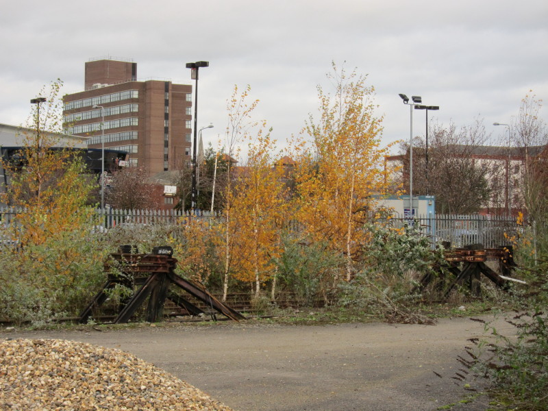
Further on, where there has been less redevelopment, the railway lines
still run, but from nowhere to nowhere
The Stour & Orwell Walk then turns away from the dockside and continues
through Holywells Park. At one time the waters of the park were
transported by ship to Harwich to make beer there, and the beer then
brought back by ship. The grounds of the manor house were given to the
people of Ipswich in 1936 - the manor was demolished. George and I
narrowly avoided being hit by a crashing remote-controlled helicopter.
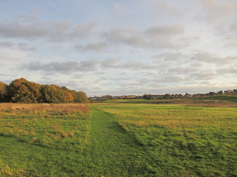
After Holywells Park, Landseer Park is more open.
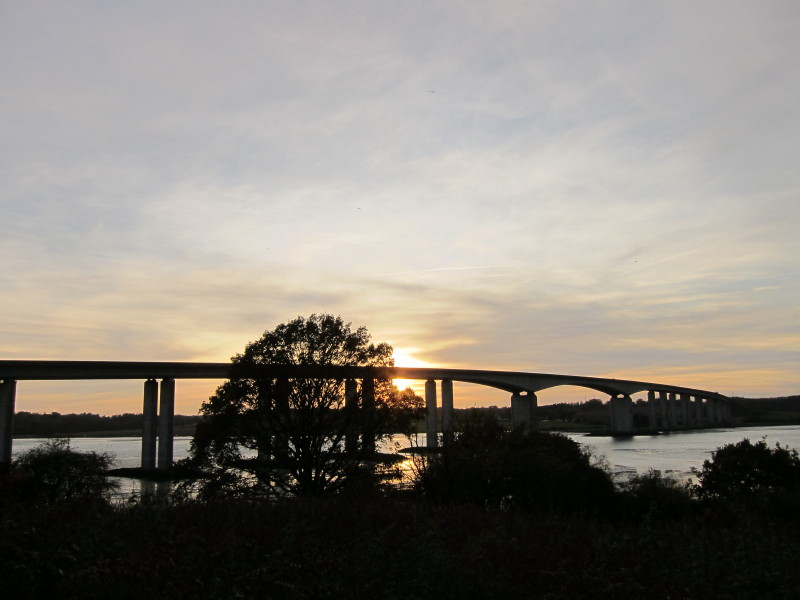
The next open area is Pipers Vale, where Lucy, Ellie and Hetty joined
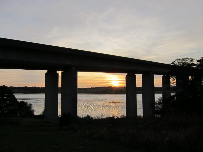
us. From here we get a good view of the Orwell Bridge, the route that we
took on our main Stour & Orwell Walk.
This is the point where the route across the bridge links up, and so
it's time to walk back through Pipers Vale to the car and home. A very
pleasant and varied walk.
You can continue the walk down the Orwell by clicking on the picture of
a walker, below:


Zoom in for more detail, or see map in larger window: Ordnance Survey |
Open Street Map |
Google Maps
Total 19.7 km in 4 hours 58 mins (including 18.1 km along the Gipping Valley
River Path)
|