Isle of Wight Coast Path: Egypt Point to Bouldnor
14 October 2013
While on the Isle of Wight for a week's holiday, I planned three
days' walking on the Isle of Wight Coast Path. The complete path runs
for about 116 km and so is a nice six-day walk. I elected to walk from
the northernmost point of the island (Egypt Point on the western edge of
Cowes) to the southernmost point (St Catherine's Point), via the
westernmost at The Needles, thus doing about half of the route in this
week and leaving half for another year. With Lucy as my chauffeur, I was
able to swap dogs part-way along each day's walk, and also avoid the
need for thinking about doing the return trips each day by public
transport - quite possible with the island's good bus service (though
I'm unsure of their attitude to dogs).
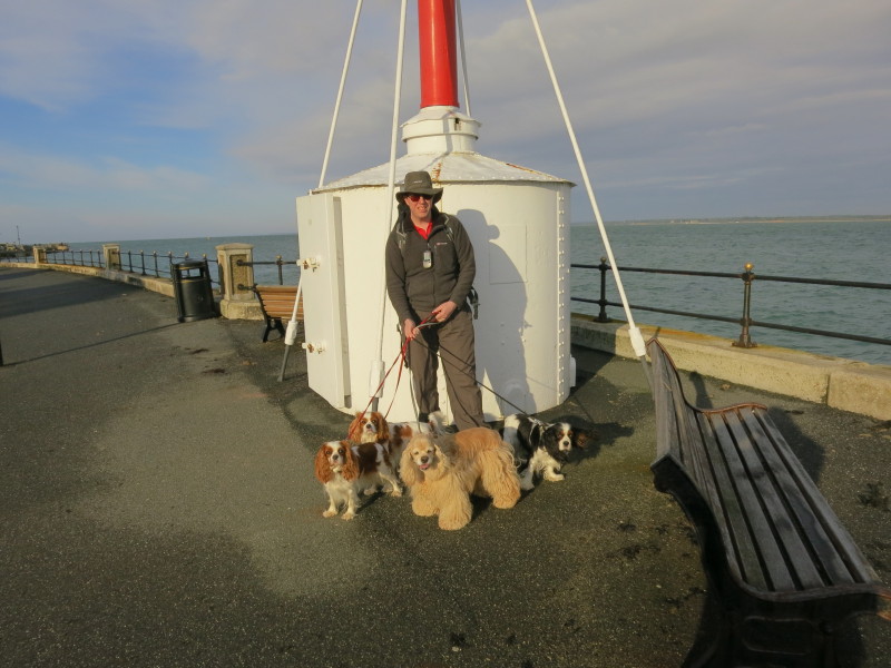
Me with the four dogs at Egypt Point, which lies between Cowes and
Gurnard. Between 1897 and 1989 a lighthouse operated here; the structure
remains a landmark for yachtsmen. The name derives from a nearby gypsy
encampment in the 16th century. Lucy and two of the dogs walked a little
way along the front before turning back to take the car back to the
cottage.
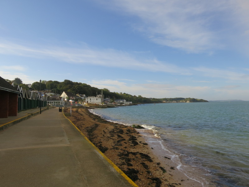
Walking along the front at Gurnard, about to leave the sea for a short
while for a climb up that little hill.
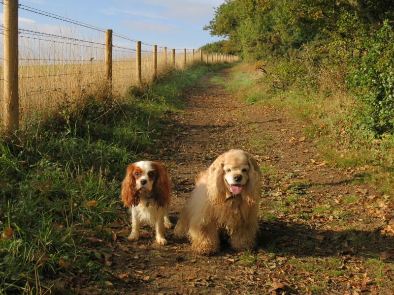
Hetty and George are my companions for the morning
Crossing a stream at Thorness Bay
This was a very pleasant little spot, very quiet today
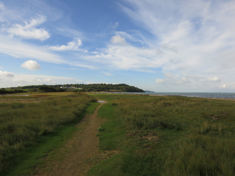
As we approach the headland it is almost time to turn away from the sea
to make our long inland diversion around the army training ground and
the Newton rivers.
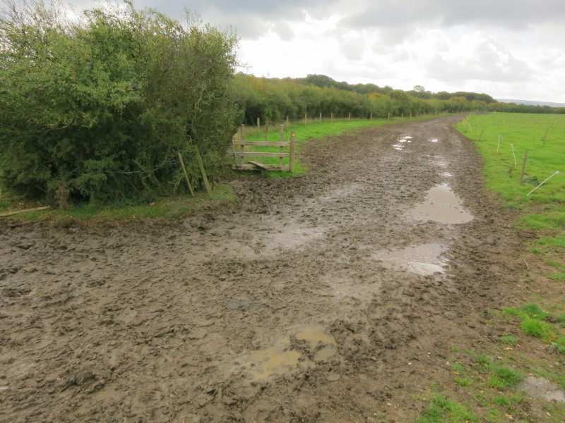
After climbing through Thorness Bay Holiday Park, we make our way
gingerly across the mud of South Thorness Farm
There is then a long road-walking section. The roads are fairly quiet
but what traffic there is, is travelling quite quickly and much of the
distance has no verge to escape from the vehicles and is heavily shaded
reducing our visibility to the drivers. Here we cross one of the many
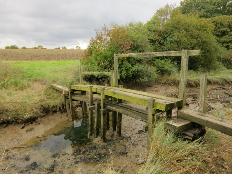
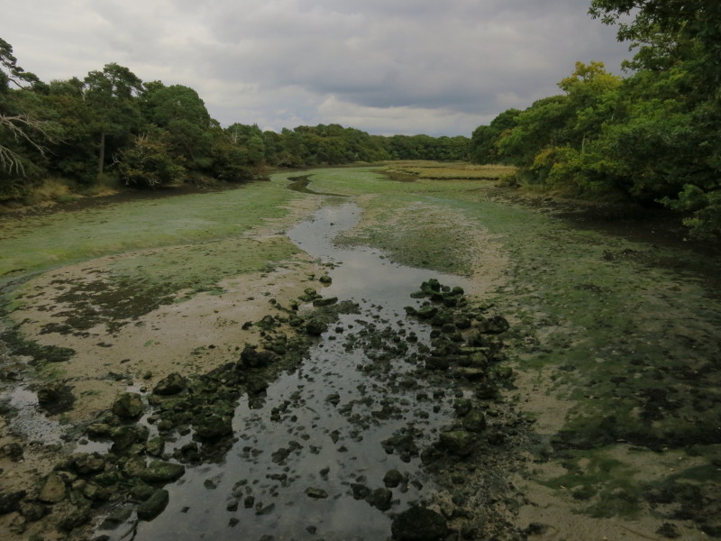
tidal creeks, this one being Clamerkin Brook
A short road-less walk brings us back to the road at Newtown, where the
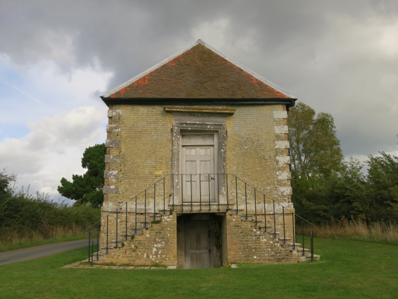
17th-century Town Hall is an interesting sight hinting at the past
glories of the settlement. This small hamlet was once a thriving port
(twice the value of Newport in 1344), with saltworks and oyster beds in
addition to the busy port. A French raid destroyed most of the town and
the plague hit what was left.
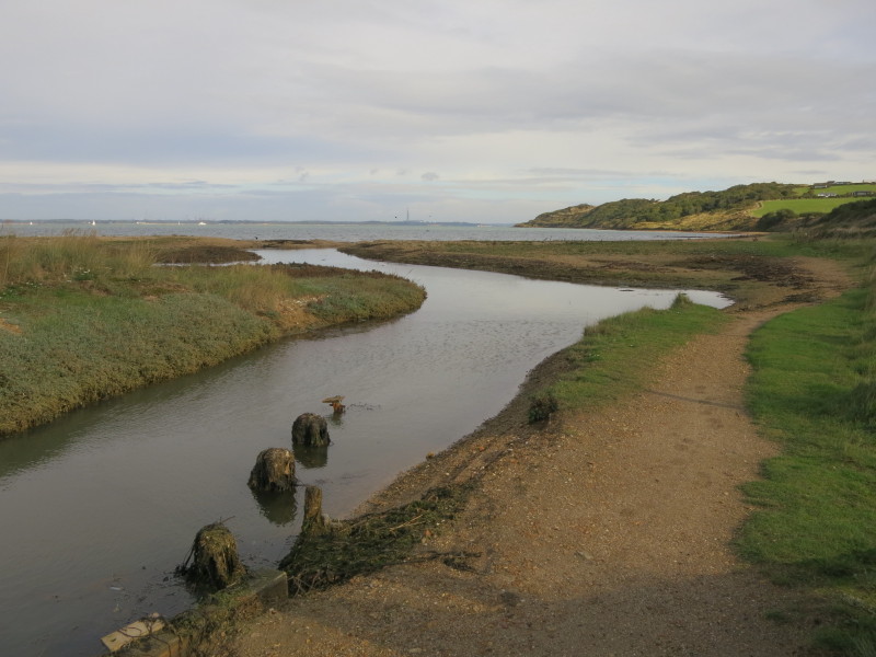
Crossing the head of Causeway Lake
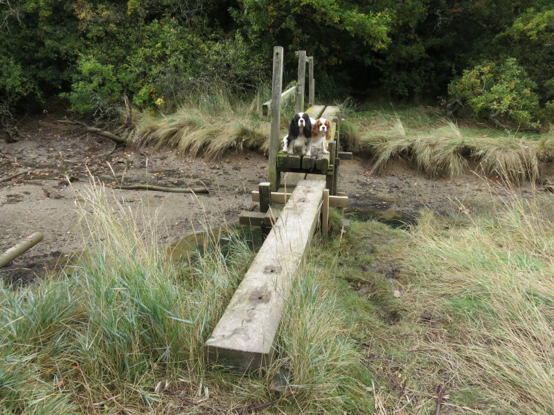
At Shalfleet, Lucy met us and took George and Hetty and left me with
Ellie and Lottie. Here they are crossing a small creek that is a
tributary of Ningwood Lake. The dogs were more sure-footed that I was,
as slipped on mud and fell over here.
The somewhat precarious looking bridge, presumably raised somewhat
higher when the lower level walkway was found to be submerged on some
tides.
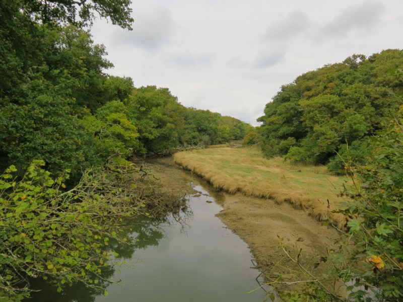
The main arm of Lingwood Lake
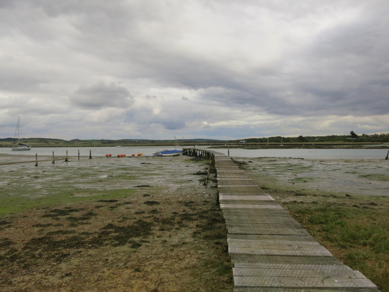
After a lengthy woodland walk we emerge at a jetty on Newtown River, and
at last it is starting to feel like a bit more like a coastal walk
again. This was a good spot to stop for a little refreshment break.
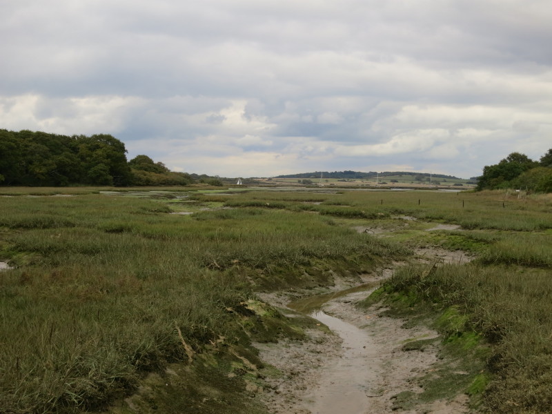
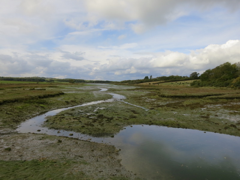
Our penultimate tidal creek to cross
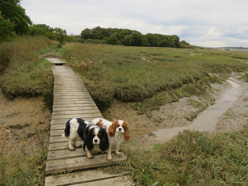
Ellie and Lottie carefully sticking to the boardwalk
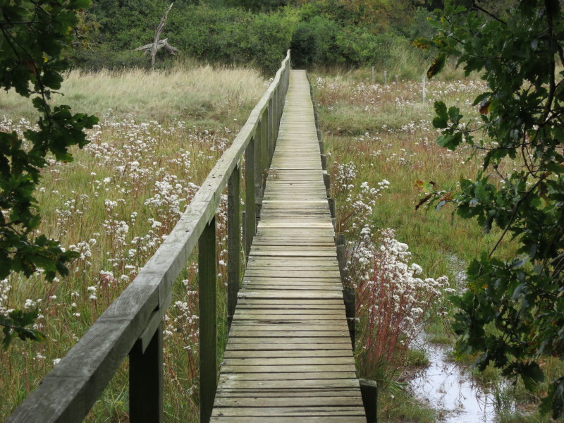
The last tidal creek before we reach the sea itself
Lottie and Ellie show me the way.
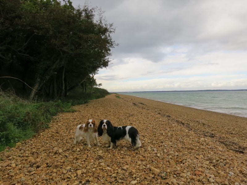
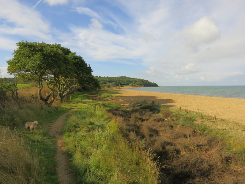
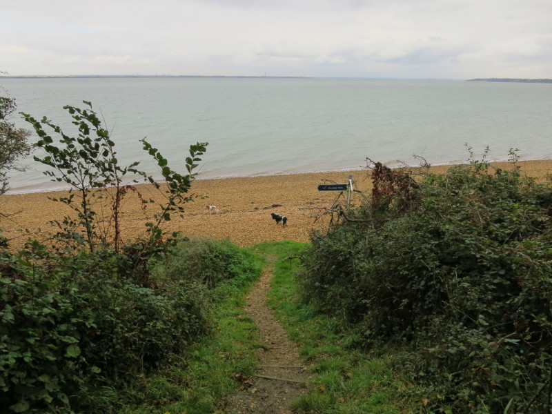
The next section lies along the beach around Hamstead Point
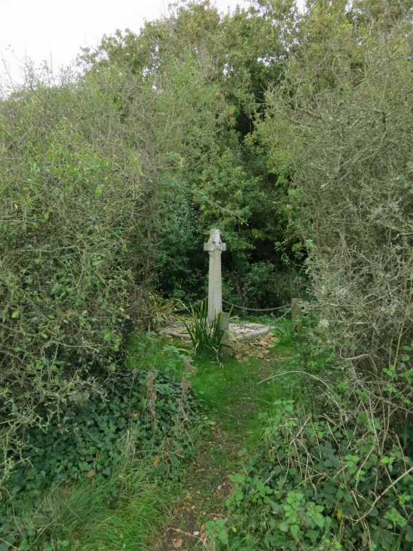
A memorial just away from the beach. The inscription reads:
IN LOVING MEMORY OF DAVID GEORGE COX AGED 20 LOST AT
SEA OFF HAMSTEAD LEDGE WITH HIS FRIEND WILLIAM PATRICK HOPE POLLOCK AGED
20 ON
NOV 27 1932 THE SEA IS HIS.
ROBIN MURRAY COX AGE 21 LOST AT SEA JUNE 2 1934 IN
DEATH THEY ARE NOT DIVIDED GOD GIVE THEM REST
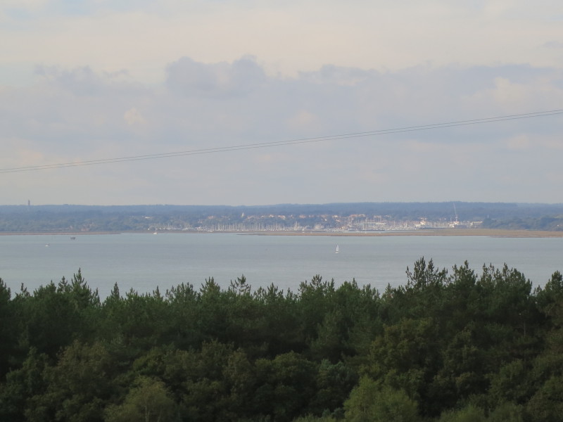
Gaining some height brings views across to Lymington from where the
ferry had brought us to the island.
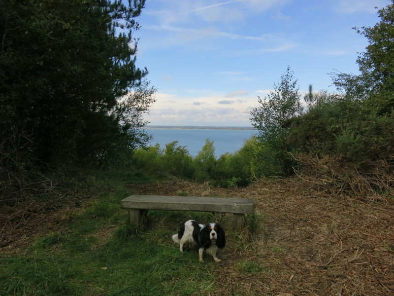
Walking through the woods of Bouldnor Copse (rather bigger than what I
would normally describe as a copse), there are occasional glimpses to
the sea
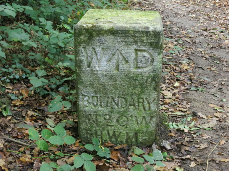
A War Department boundary marker, one of a number hereabouts setting out
the limit of their land. It was an important site in World War II
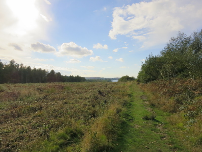
Some of the forest is being cleared and returned to heathland
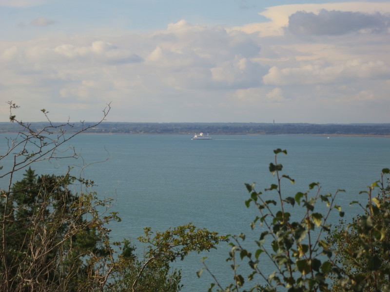
A ferry from Lymington making its way to Yarmouth
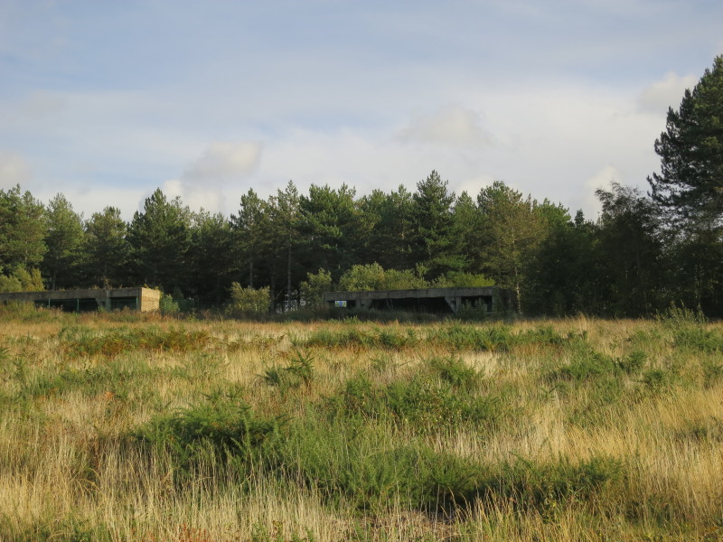
Part of a disused battery, built in 1938 for the defence of the Solent,
and abandoned in the mid 1950s.
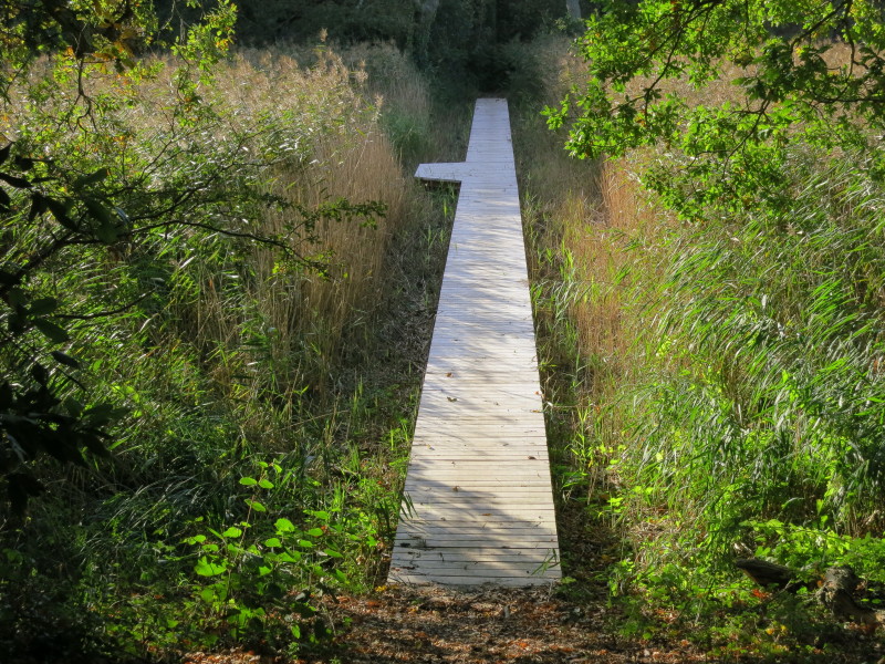
A new board walk
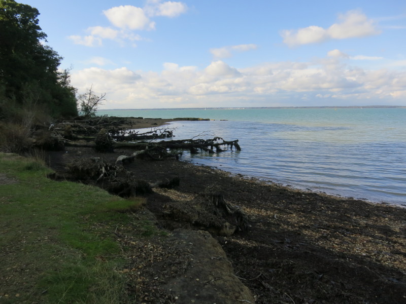
A brief return to the edge of the sea before the path turns inland to
the main road at Bouldnor, where Lucy was waiting in the car park to
take us back to the cottage.
Total walk on the Isle of Wight Coast Path was 24.3 km in 6 hours 28 minutes

|