Lark Valley Path: King's Staunch to Isleham Lock
27 May 2013
Today Stephen continued his walk along the River Lark
- though the Lark Valley Path ends at Mildenhall, the old towpath continues
all the way alongside the river to its confluence with the Great Ouse between Ely and Littleport.
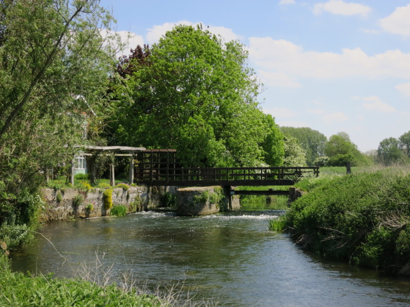
I parked the car in the village of West Row and walked across fields to
the river, overtaken on the way by a woman jogging who rather startled
me while I was trying to photograph the dogs. Here we reach the river at
Kings Staunch and resume the towpath
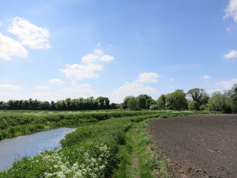
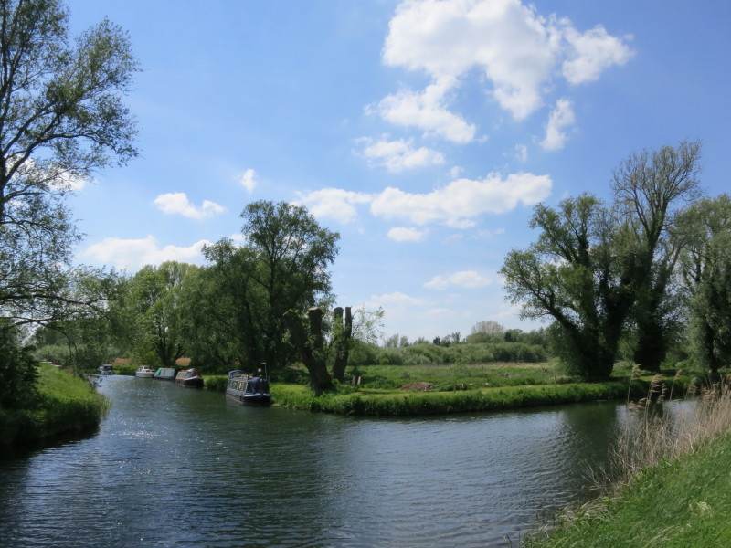
Heading along the towpath of the River Lark
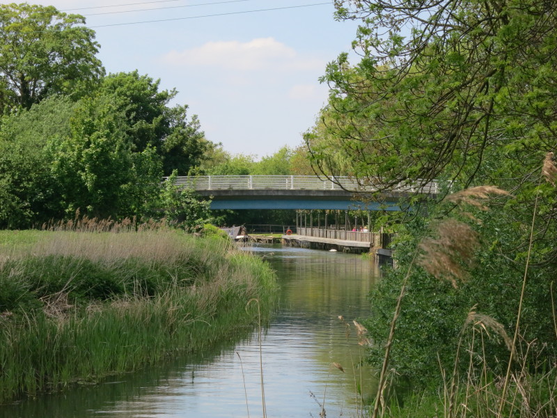
Jude's Ferry Bridge is the official limit of navigation nowadays (though
presumably small boats can get as far as Kings Staunch), and peeping
into view under the bridge is our first narrowboat of the River Lark
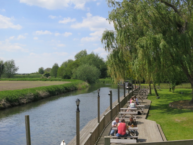
On a pleasant May afternoon, a few people are having a drink at the pub
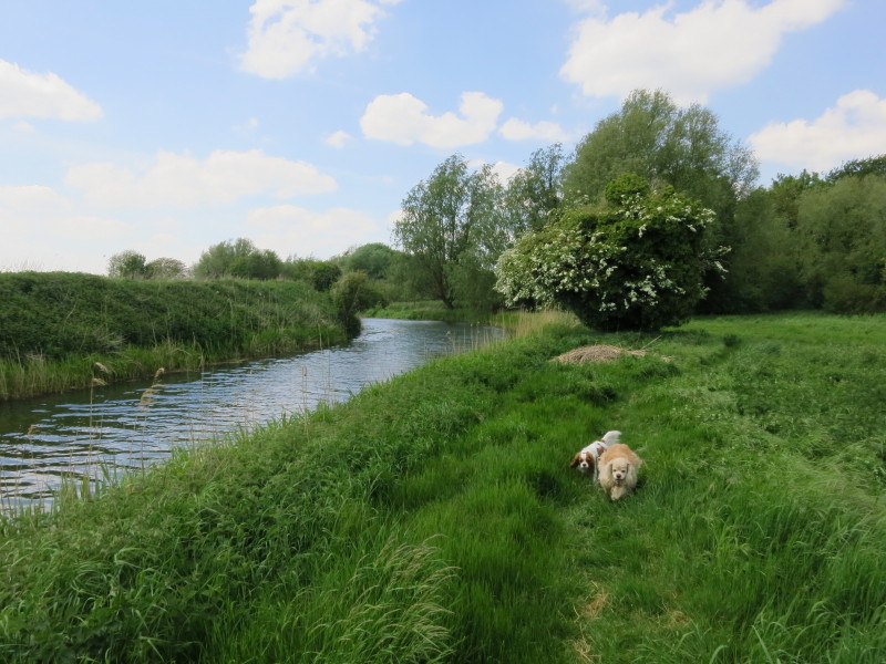
George and Lottie are enjoying the walk
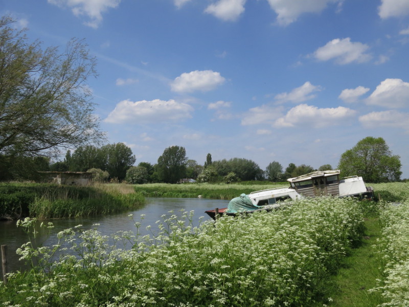
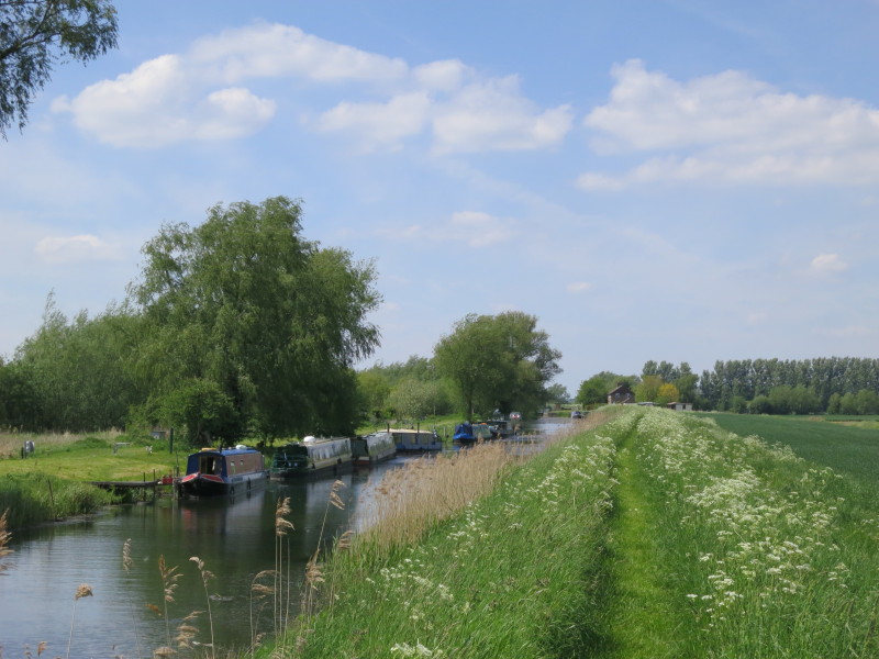
This boat has been here some time, and shows up on Google satellite
photos
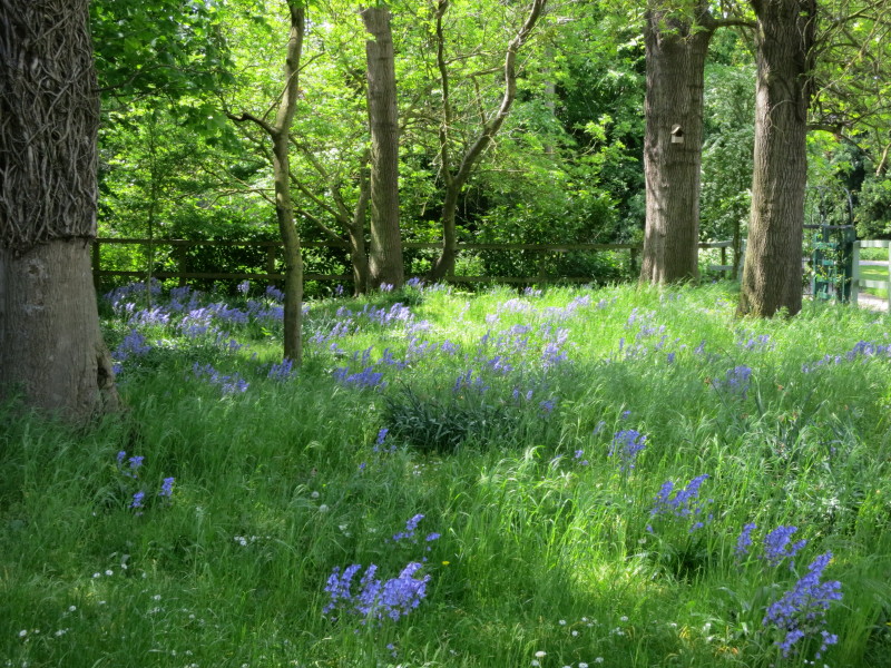
We make a short diversion away from the river at Gravel Gardens, giving
us the opportunity to enjoy the bluebells
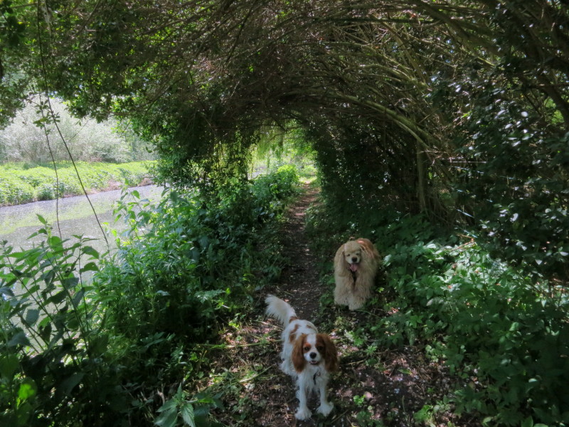
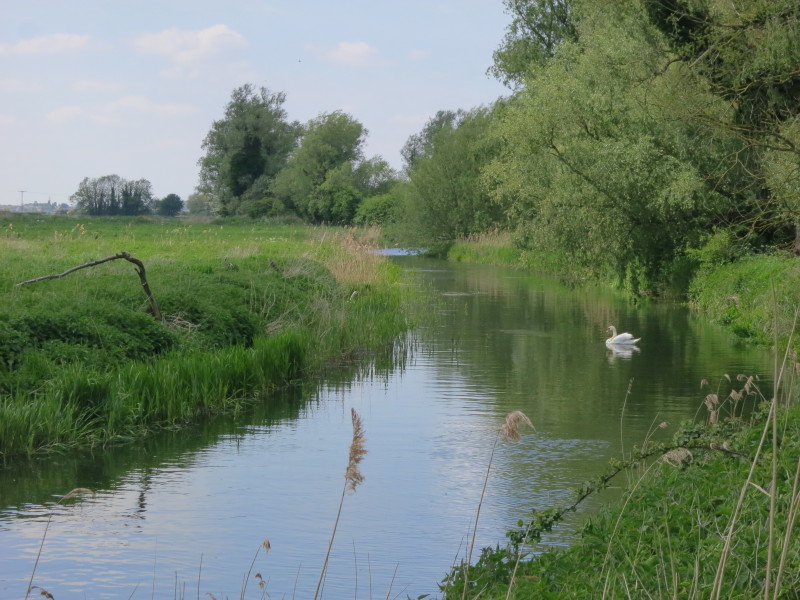
Back on the riverbank, there is almost a natural tunnel of the
vegetation, easy going for the dogs but rather low for humans.
Here the lock cut for Isleham Lock goes off to the right - the right of
way along the towpath along the river does continue past those boats on
the far side, but there is no way across, so our route lies along the
straight lock cut
Heading for Isleham Lock
Above the lock
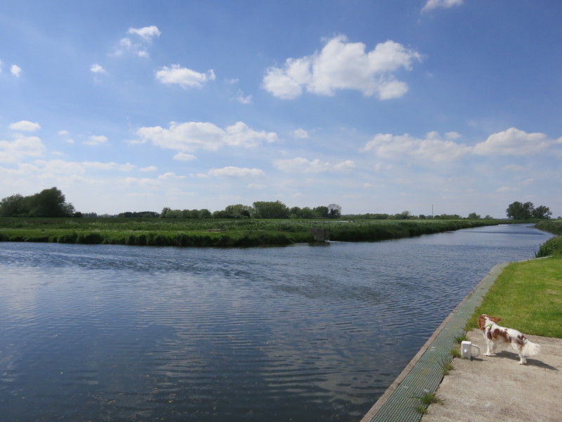
And below the lock, where Lottie looks downstream perhaps thinking of
the next leg of the walk. For now it is time to turn around and return
partly along a different route back to the car at West Row
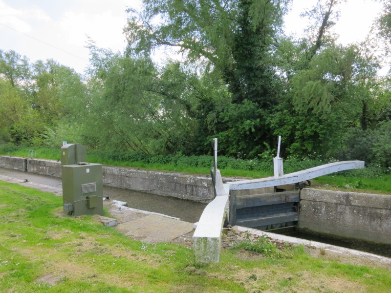
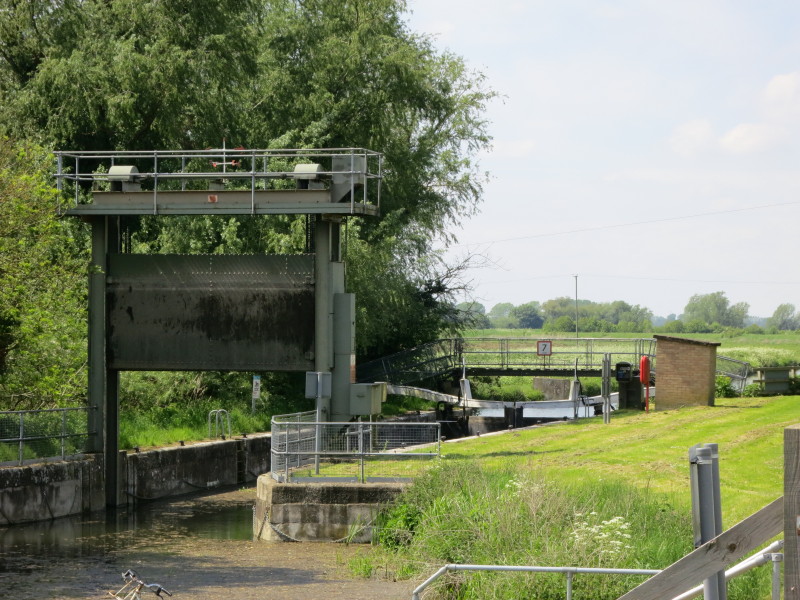
The traditional looking bottom lock gates
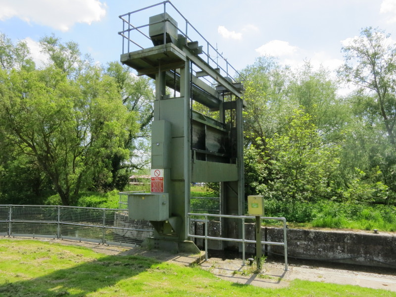
...and the modern guillotine top gate. Why the difference, I'm not sure,
but it is the same pattern as on the River Nene.
Total 10.5 km in 2 hours 41 mins (making 5.5 km progress along the River Lark)
|