Lea Valley Walk - Leagrave to Wheathampstead
12 January 2008
The Lea Valley Walk follows the River Lea from its source at Leagrave north of
Luton to the River Thames at Limehouse Basin. Over the years, I've walked quite
a bit of it, but with the gift of the revised edition guidebook to the walk from
Lucy for Christmas, I plan to do the whole thing in order this year.
So a sunny January Saturday morning sees George and me here at the source of the
Lea. Like the visit to the source of
the Thames a year ago tomorrow, it is a clear illustration that for many
rivers, "official" sources may not be the source. The source here is a storm
drain overflow!
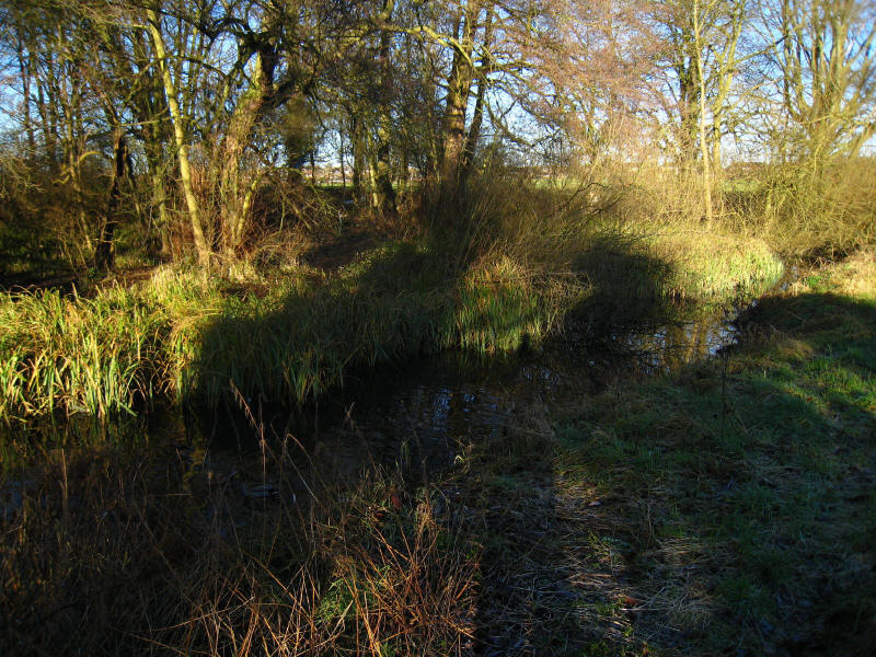
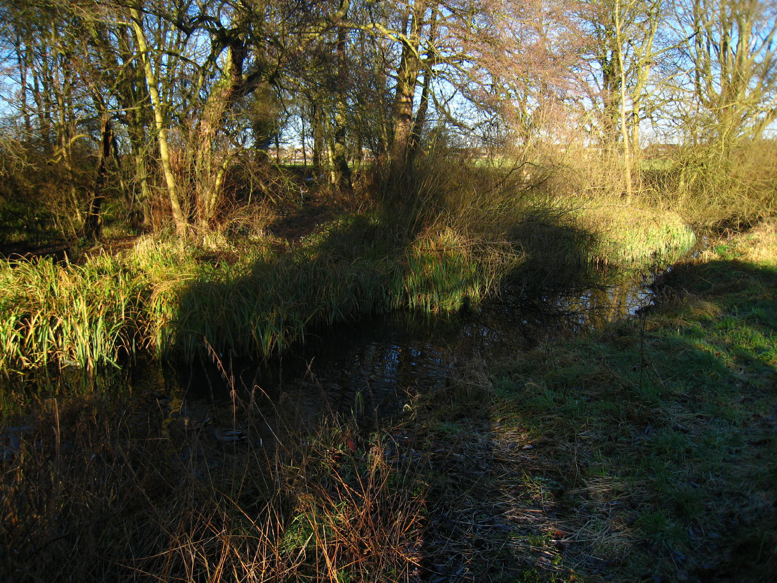
But within a hundred metres or so, several springs have added their waters, and
already we have a significant stream.

And in only a few hundred metres, as the infant river makes its way across
Leagrave Common, it looks quite substantial. In fact the size is inflated by a
weir which keeps it full, but nevertheless it is definitely looking riverine.
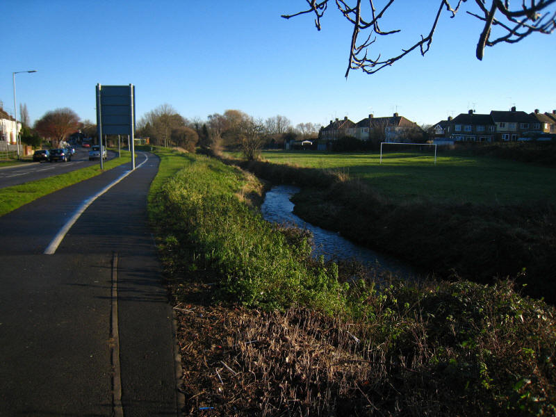
A short distance further on, below the weir, and it is looking like a stream
again. We make our way along the green ribbon that lies between houses in
northern Luton

We have to make a diversion away from the river for a short while. The guidebook
advises that this green area is an ancient burial ground.
After that, we walked along the A6 New Bedford Road for a while, and then
returned to the river bank. A tip here for anyone following in my steps - note
carefully the difference between "pass the bridge" and "cross the bridge" in the
guidebook! There was a clear track on the east bank of the river, which went
through woodland as described in the book, and then was grassy as described in
the book. The maps in the book are only 1:50 000, which is barely adequate, and
in this case the highlighted route was straight down middle of the river so the
map was no use either. The way along the east bank gradually deteriorated into a
jungle bash and eventually I was forced to concede defeat when I reached a
garden fence. Why the path started off so distinct is unclear - have there
really been so many people who made the same mistake? Anyway, I was forced to
turn round and retrace our steps.

Eventually we walked along the west bank of the river and crossed Stockingstone
Road and passed some footballers - presumably this sign is to indicate that we
have permission to pass through (it not being a public right of way) but not to
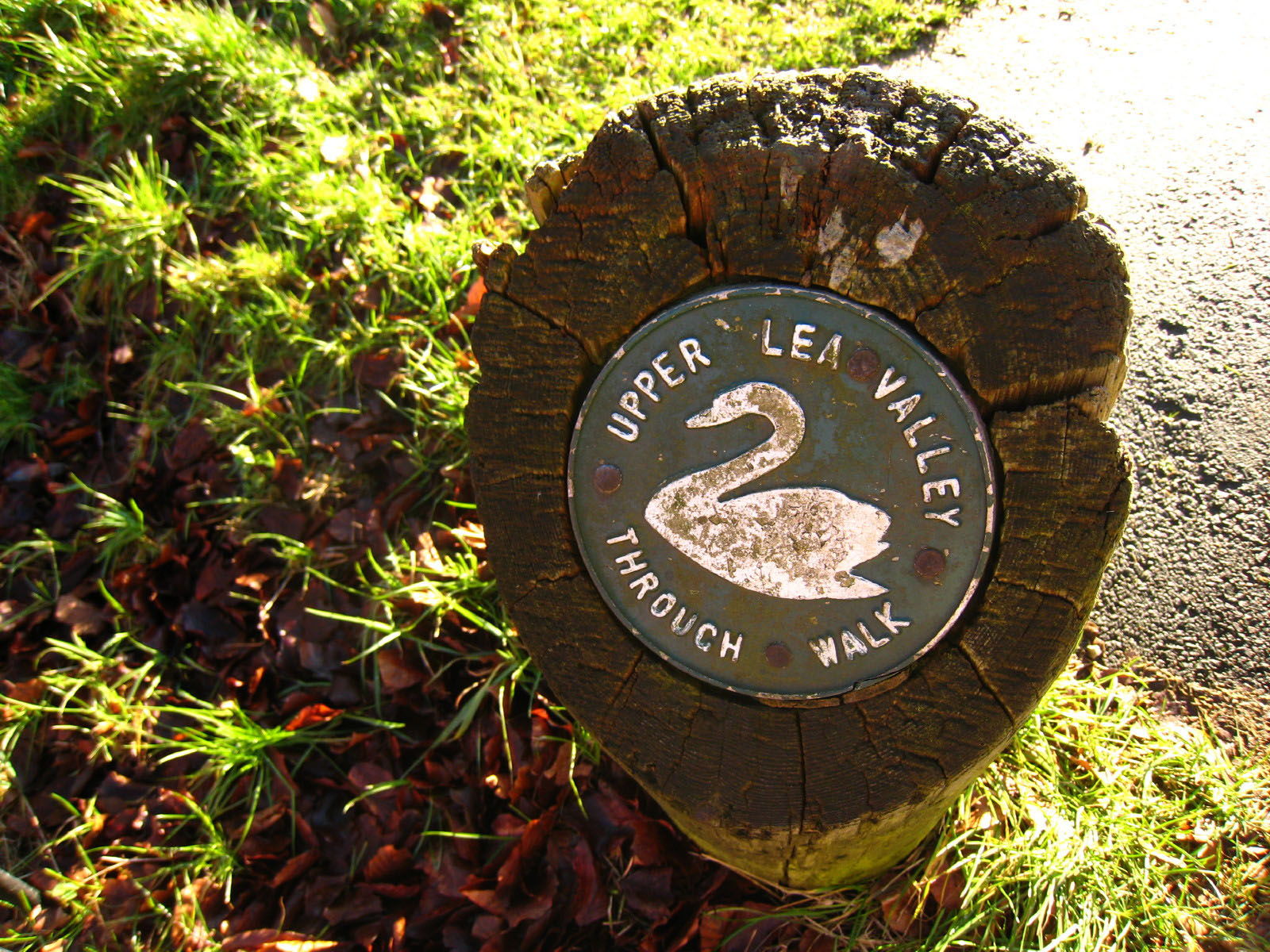
linger. It was also the first of the waymarkers I saw on today's walk. They were
scattered around throughout, but very far from adequate to offer reliable
guidance - indeed, as they tended to play the trick of pointing in one direction
and then disappearing just when one started to rely on them, they were close to
being worse than useless.

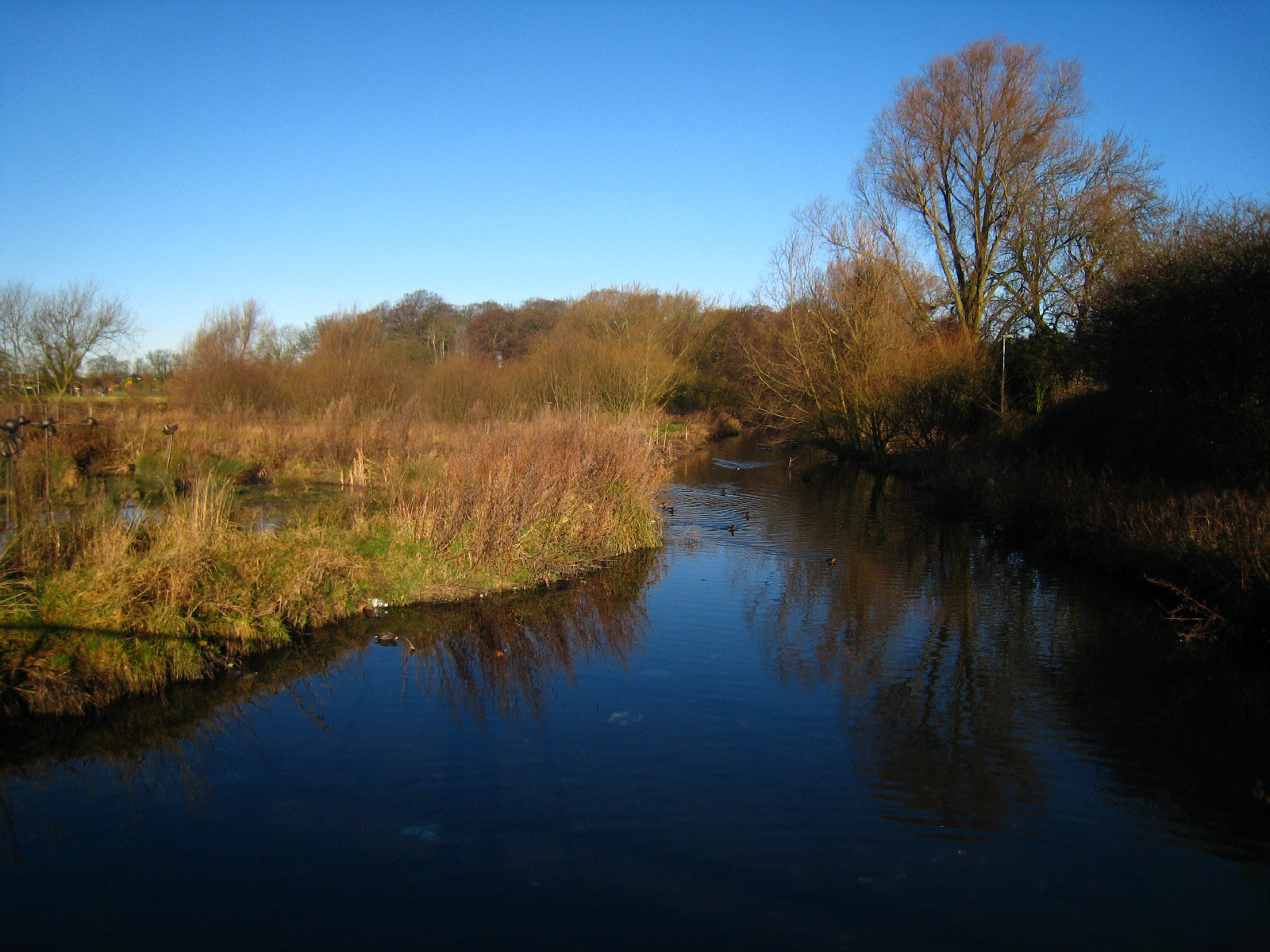
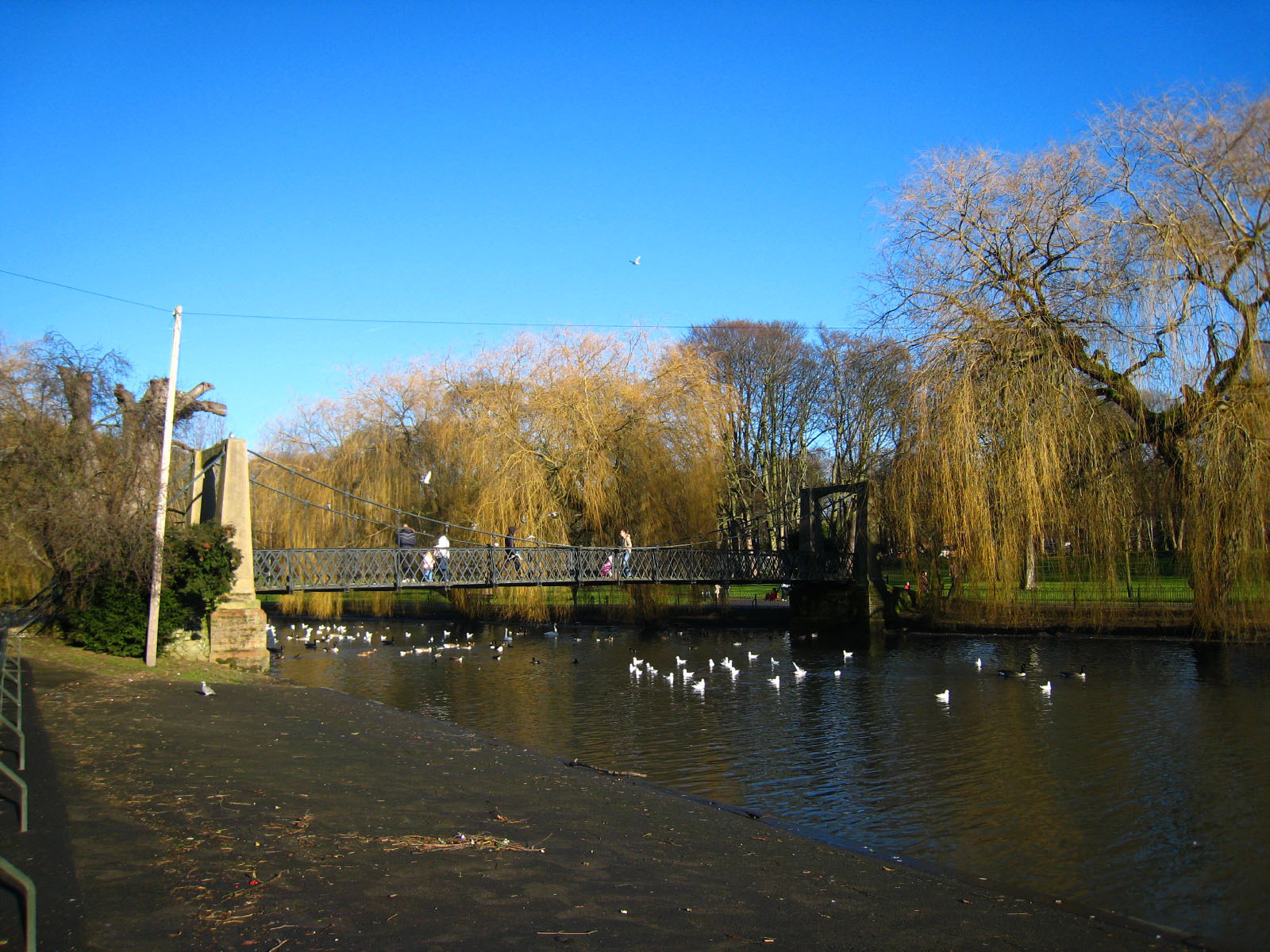
We then emerged in Wardown Park. On the far right of the photo you can just see
the Lea pouring into the ornamental lake. There were plenty of benches around,
and it is always better to take advantage of benches rather than waiting in the
hope that there will be another one, and this was a delightful spot to stop for
first lunch.
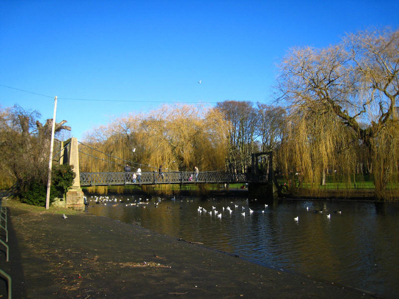
Continuing on along the very pleasant ornamental lake

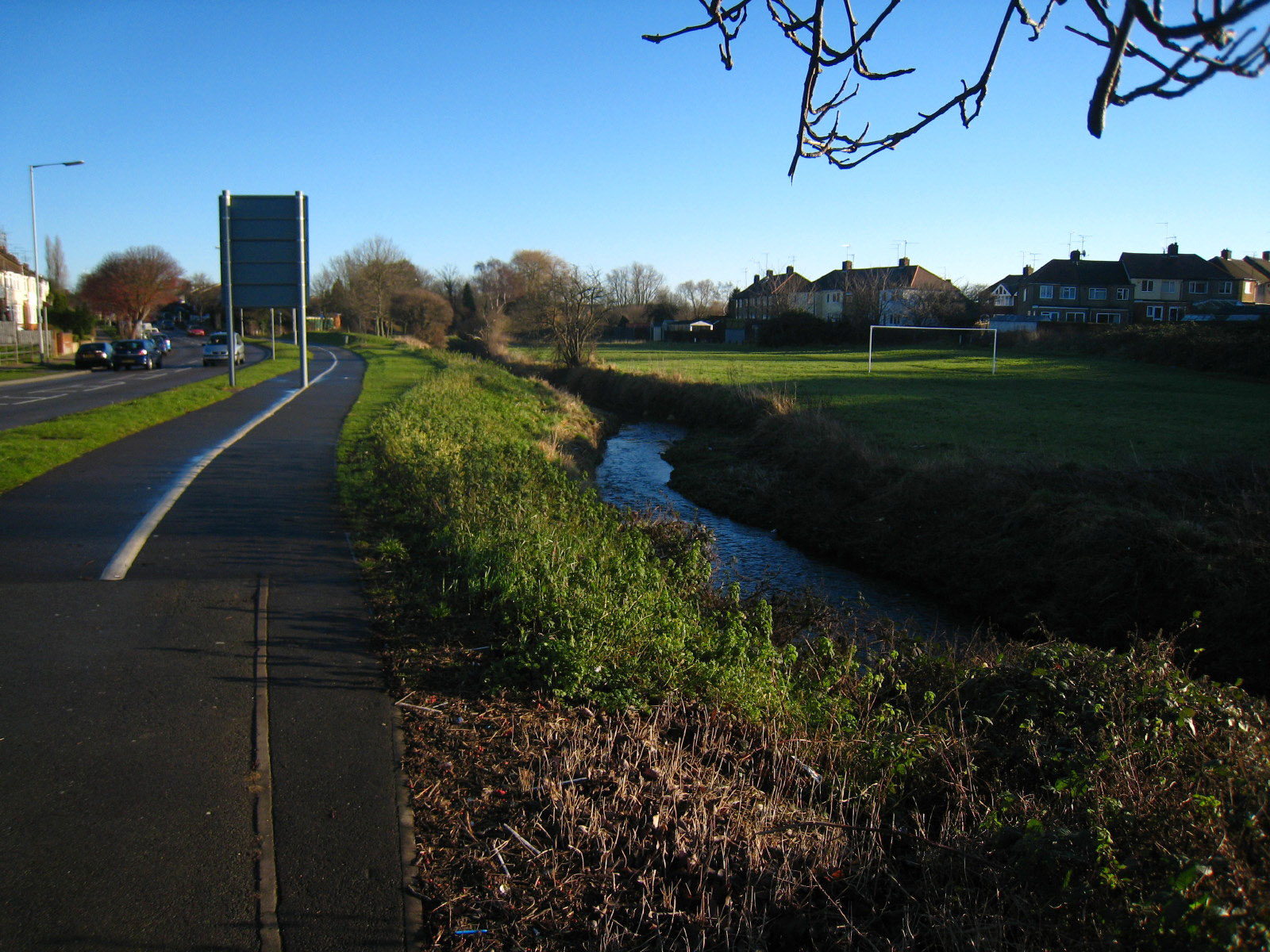
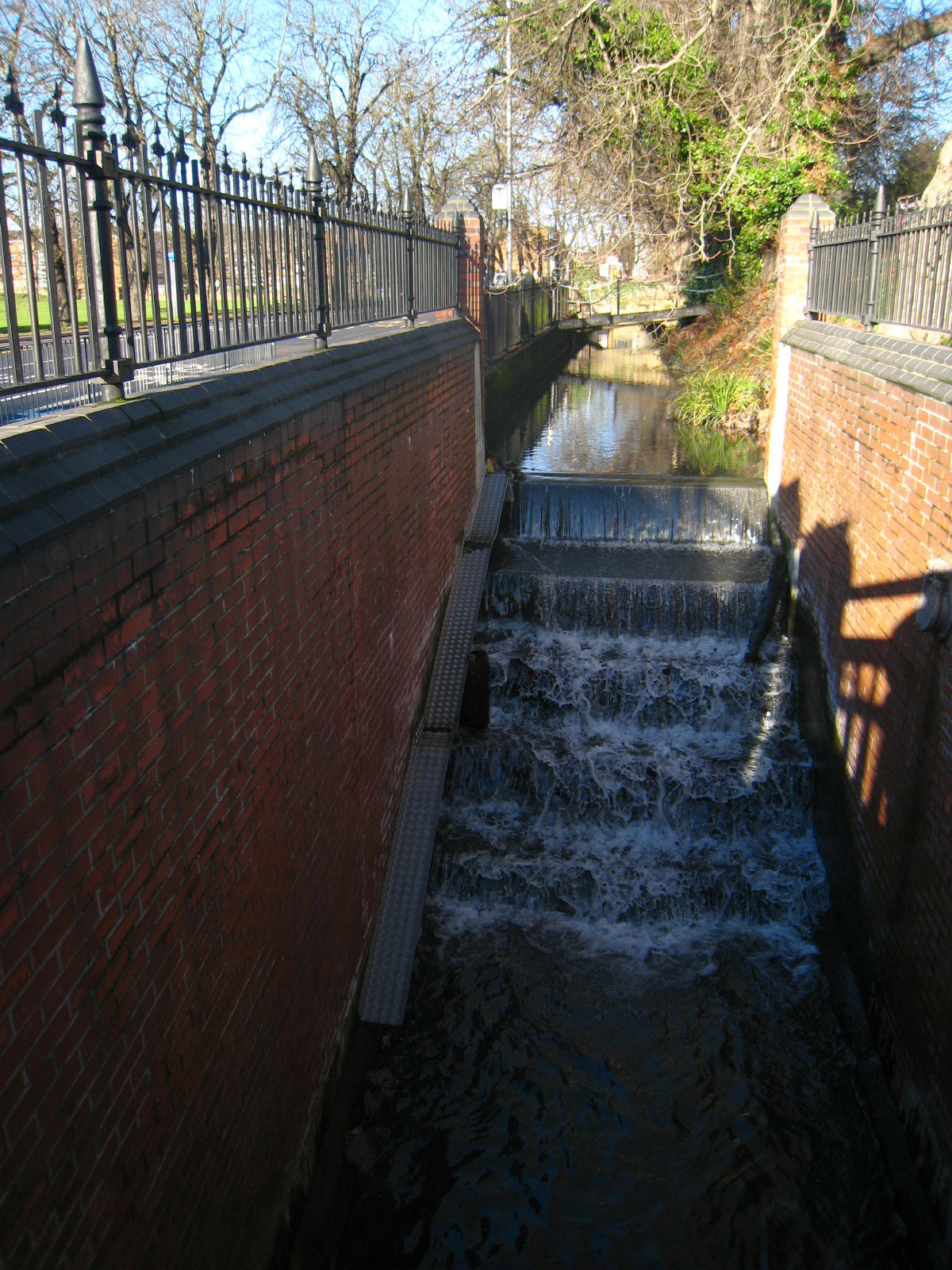
We returned to the New Bedford Road, which was unusual in that the river was
carried in channels either side of the road, making the road somewhat like a
causeway. Here as we prepare to enter Luton town centre, the river cascades down
steps and disappears underground.
We then walked through a remarkably quiet Luton town centre (I expected the
place to be heaving on a Saturday lunchtime), and then trudged along the A505
towards the airport.
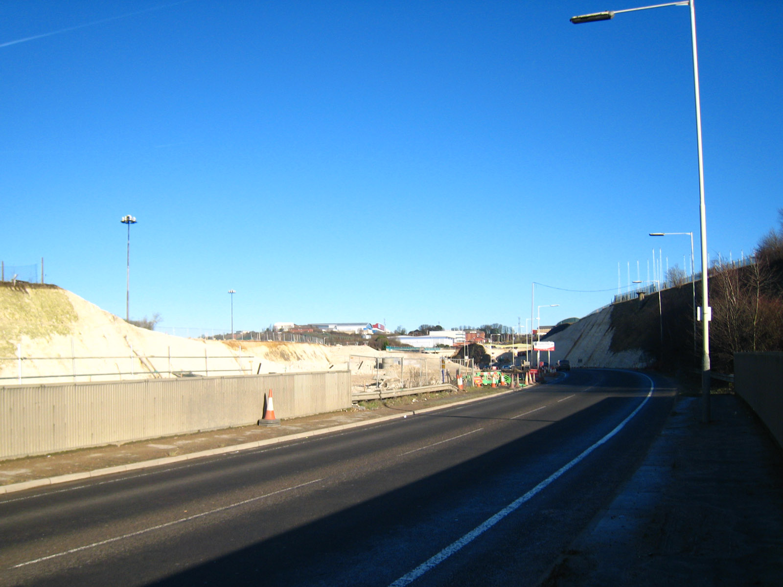
There we walked through the roadworks in connection with improved access to the
airport and here we walk up the embankment onto Airport Way.

On Airport Way on the bridge over the Midland Mainline railway. Our way lies up
a path up that very steep bank on the right

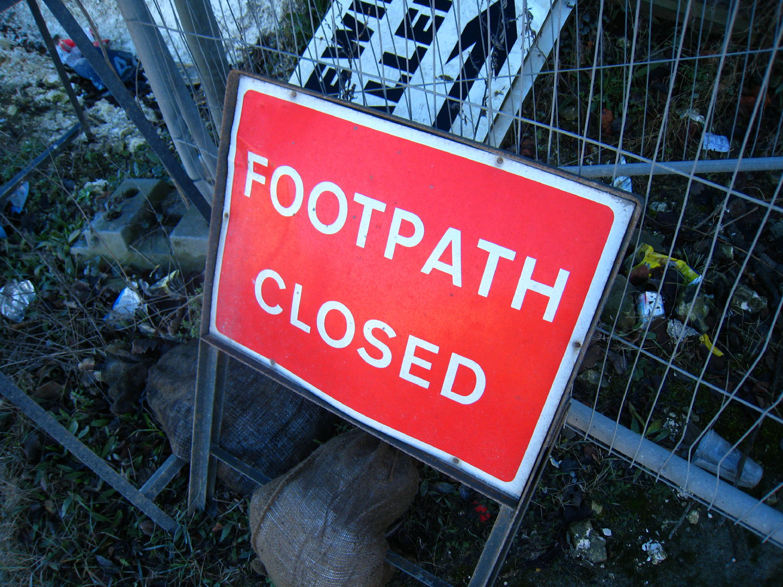
But the Secretary of State for Transport has seen fit to close the path, for
safety reasons. He has now extended the closure from 2006 to July 2008 (the
third extension), and concludes the notice by stating bluntly that there is no
alternative route for footpath users. This should be unacceptable - those
conducting roadworks should be obligated to make an alternative available. But
in the present instance it was particularly stupid - the safety concern was
walkers walking along the margin of Airport Way. Well, we'd already done that.
The footpath that is closed is taking us to safety, up into fields, and closing
it at this point actually would mean walking back along Airport Way, hardly an
improvement in safety. So we ignored the sign, clambered around and through the
fence and up the hill, doing the same at the top, to emerge into safety away
from the traffic.

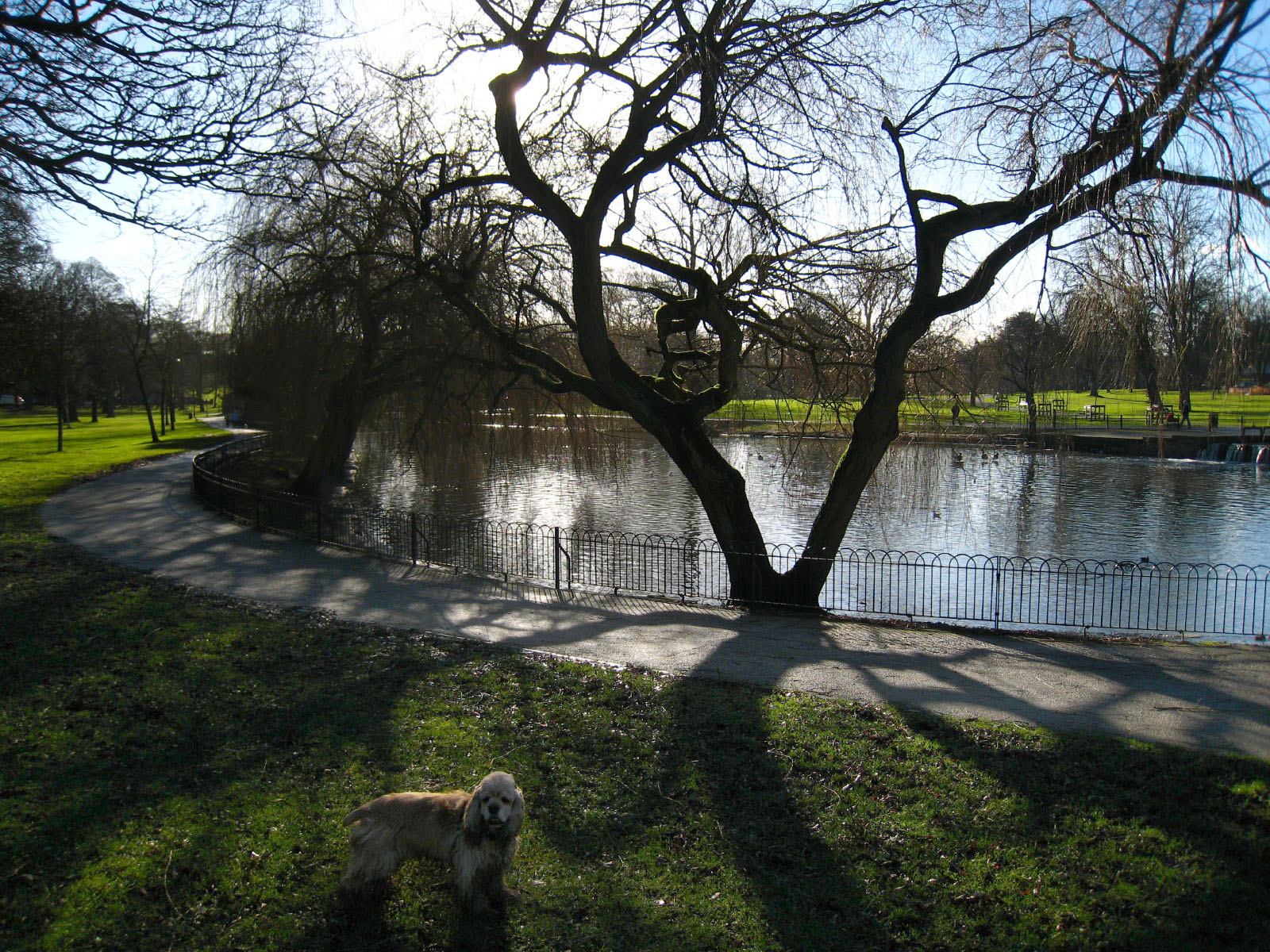
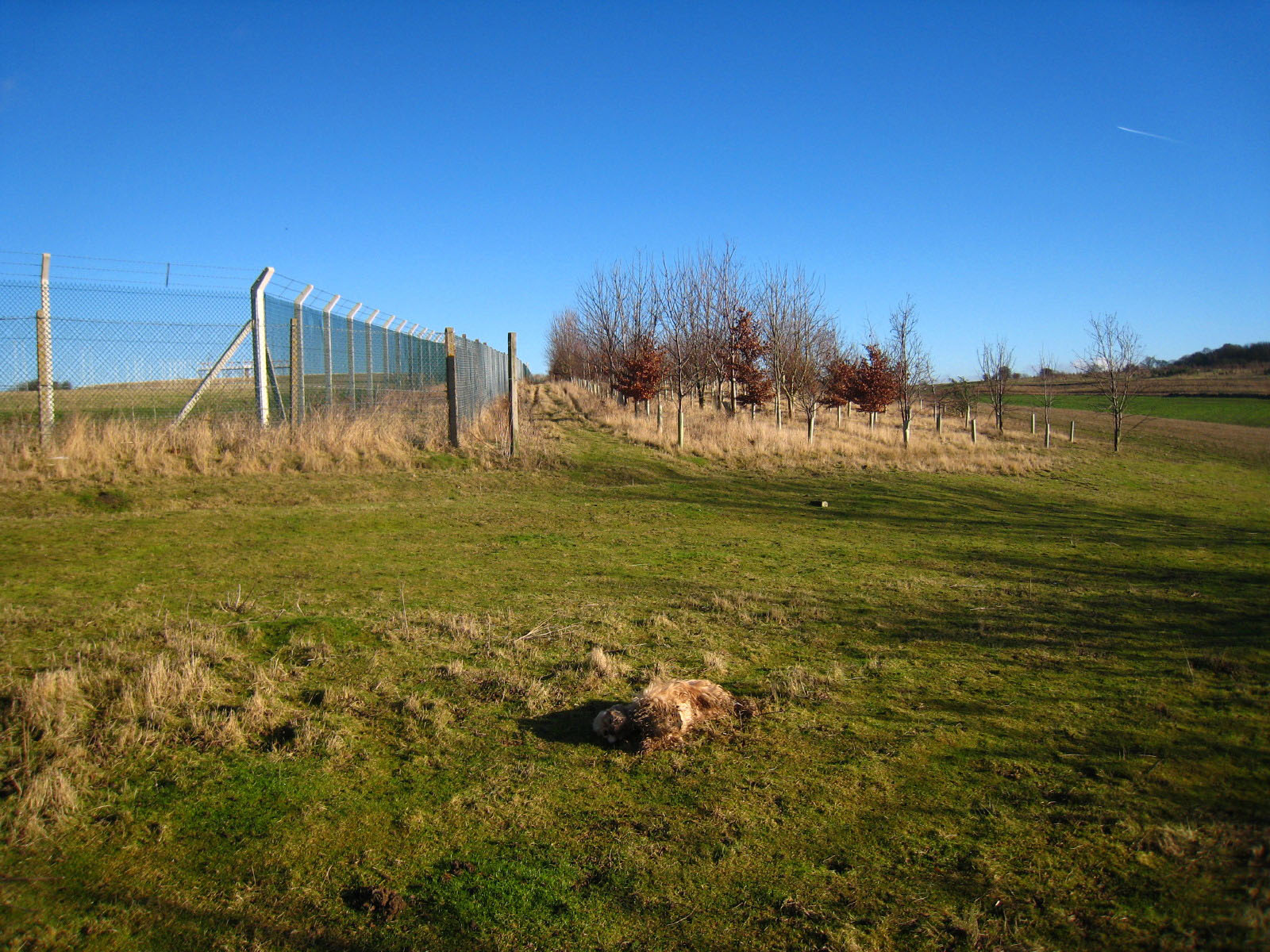
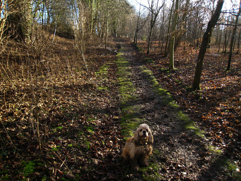
The "unsafe" path. Well, it is at the end of the runway, but always has been! By
the way, spot the American Cocker Spaniel!
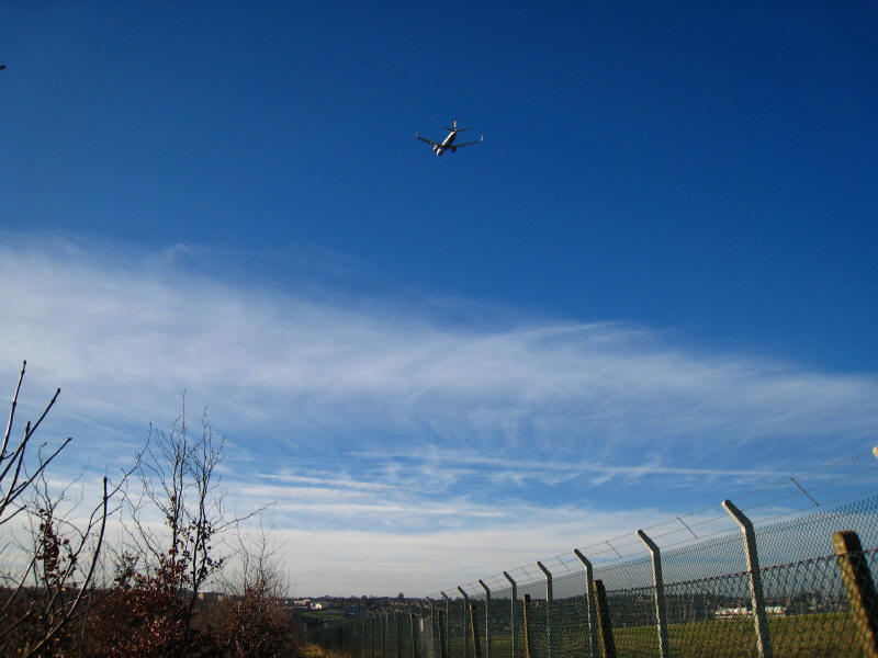
An aeroplane takes off as we make our way along more of the "dangerous" closed
footpath.
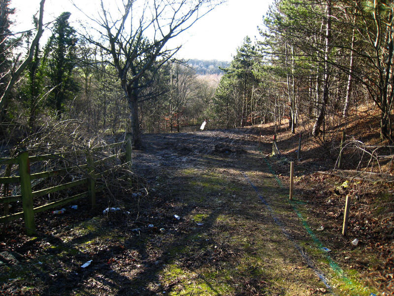
Restored to legality, we parallel the B653 through fields
Broadly speaking we are following the route of the Luton, Dunstable and Welwyn
Junction Railway for the rest of the walk, although in this initial section its
route has been obliterated.
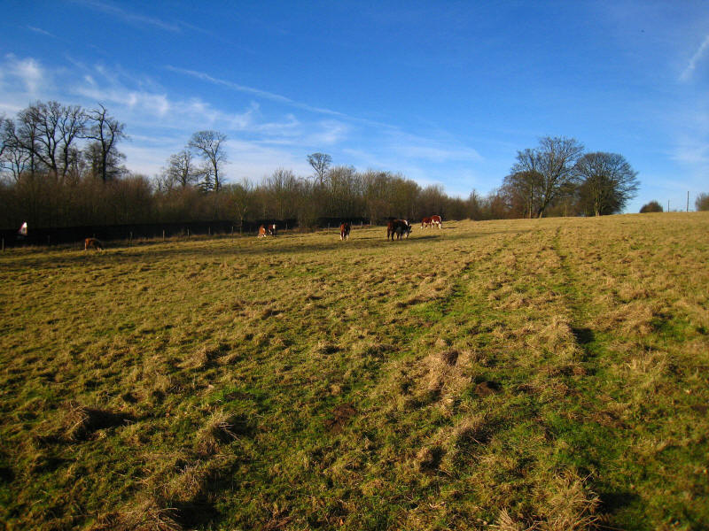
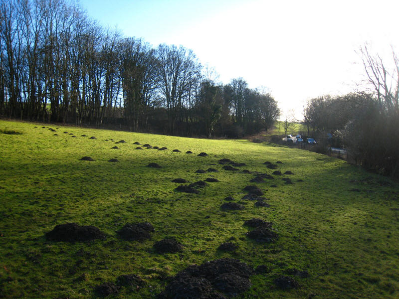
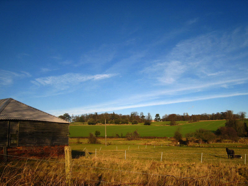
Cows in the fields as we continue to parallel the Midland Mainline railway,
which is still very evident.
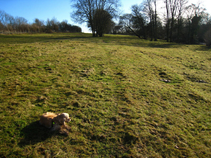
George in the woods as the trackbed of the Luton, Dunstable and Welwyn Junction
Railway becomes more evident
Crossing the Lea on a railway bridge, with Luton's sewerage works being fed by a
big pipe in the concrete trunking

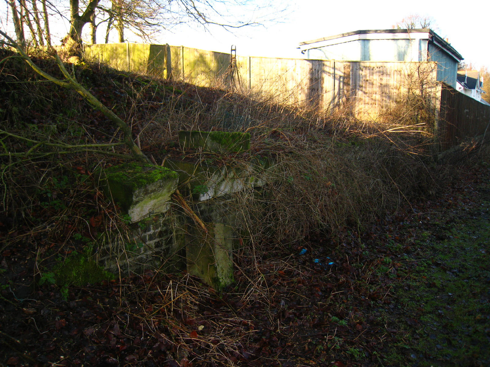
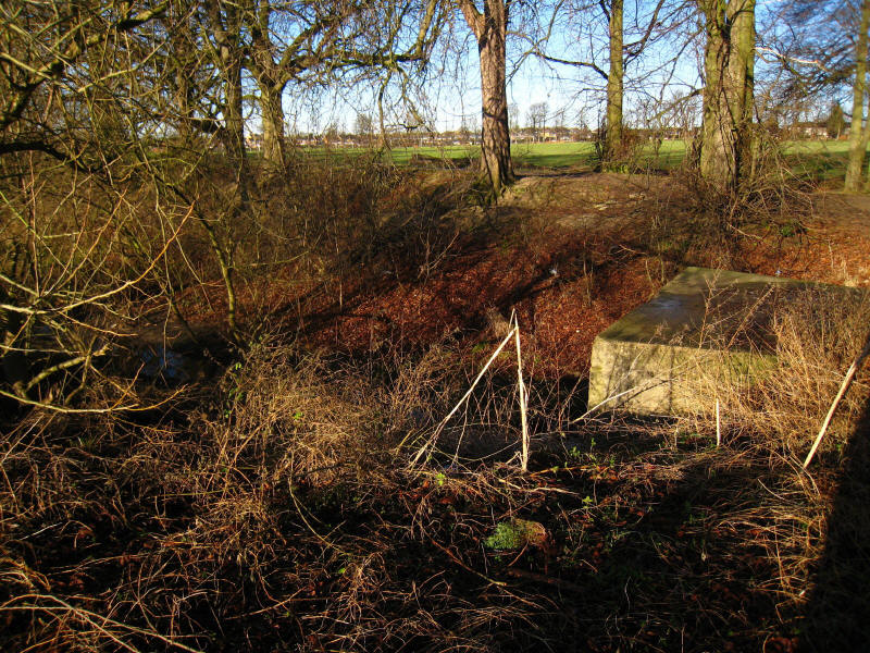
At New Mill End we find the remains of the platform of Luton Hoo Station - the
station building is behind the fence.

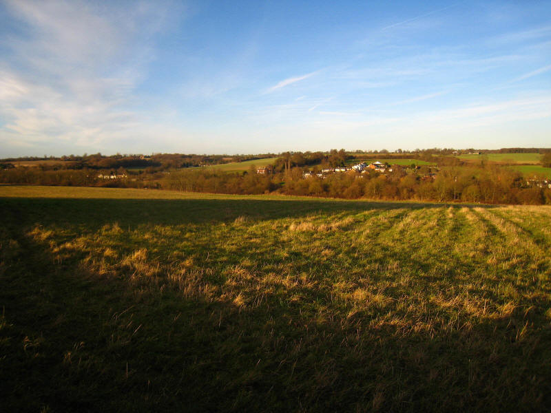
Passing East Hyde, we now move from Bedfordshire into Hertfordshire
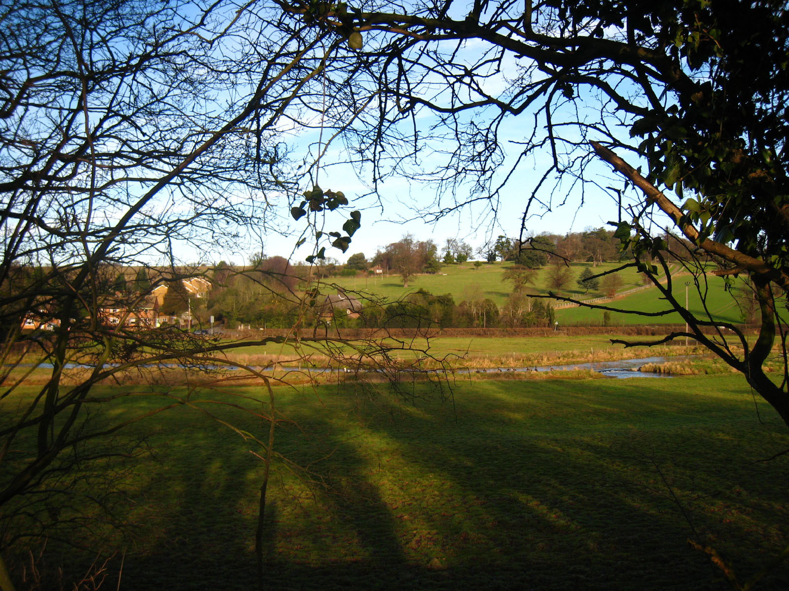
By Hyde Mill Farm, a conveniently located bench provides a pleasant view over
the valley and a good spot for second lunch.
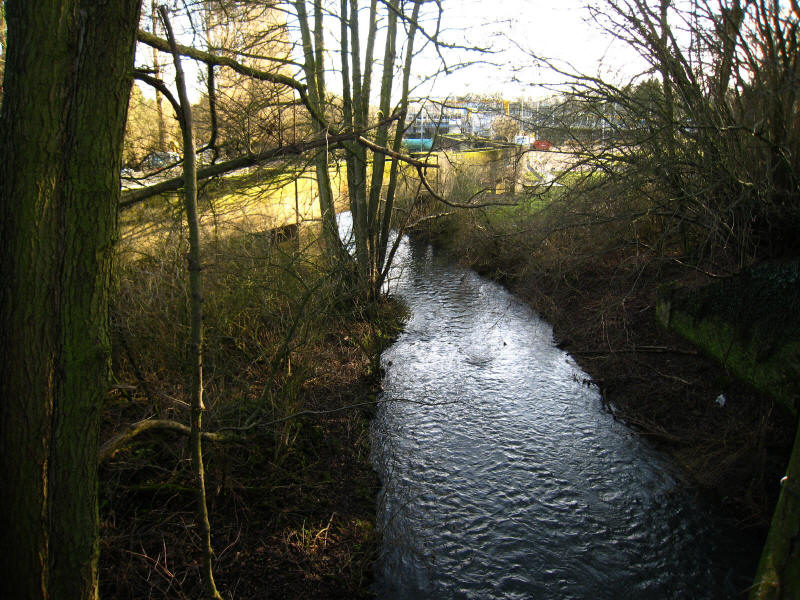
At Batford, we leave the railway line for a while and take to the bank of the
Lea once more
Some beautiful colours as the sun gets lower in the sky

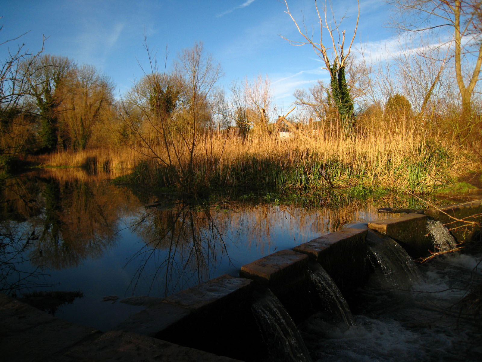
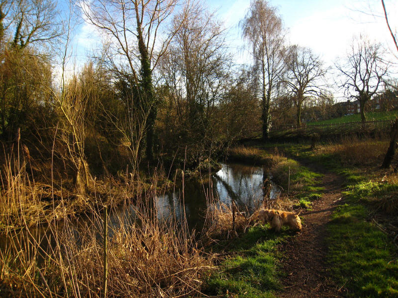
The other side of the water is an island, the other water channel presumably
being connected with nearby Batford Mill
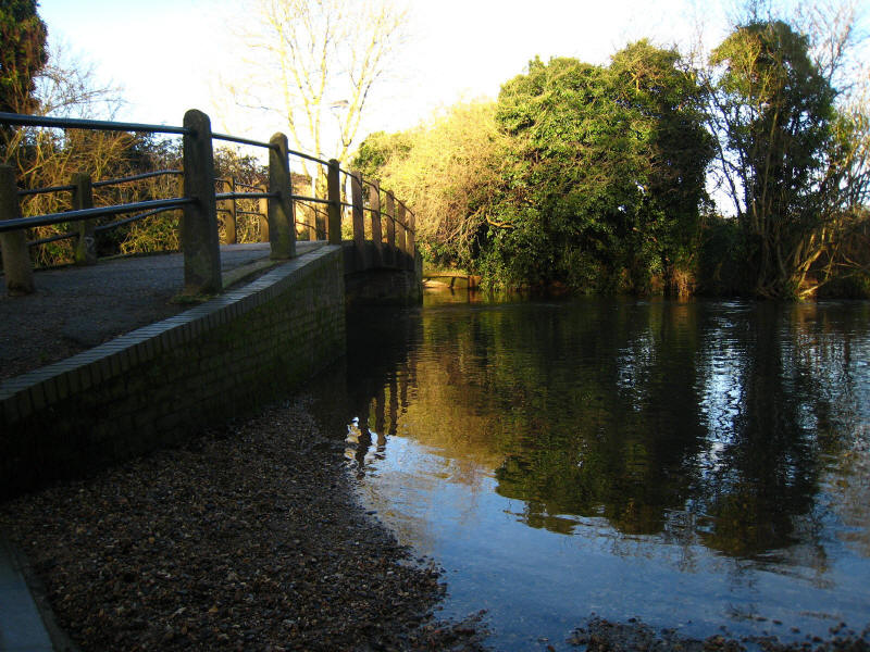
A ford over the river by Batford Mill
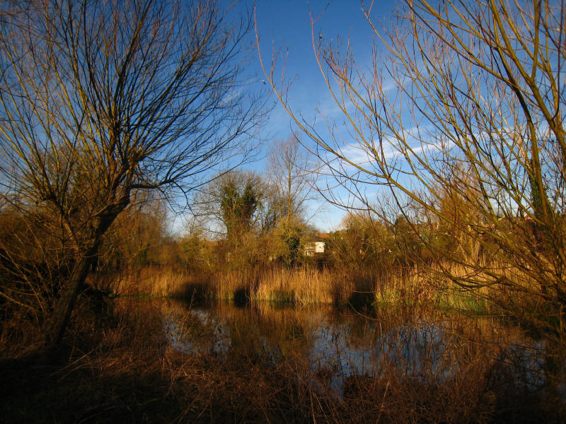
Returning to the railway line, we can see the twisting course of the river
beyond flooded fields
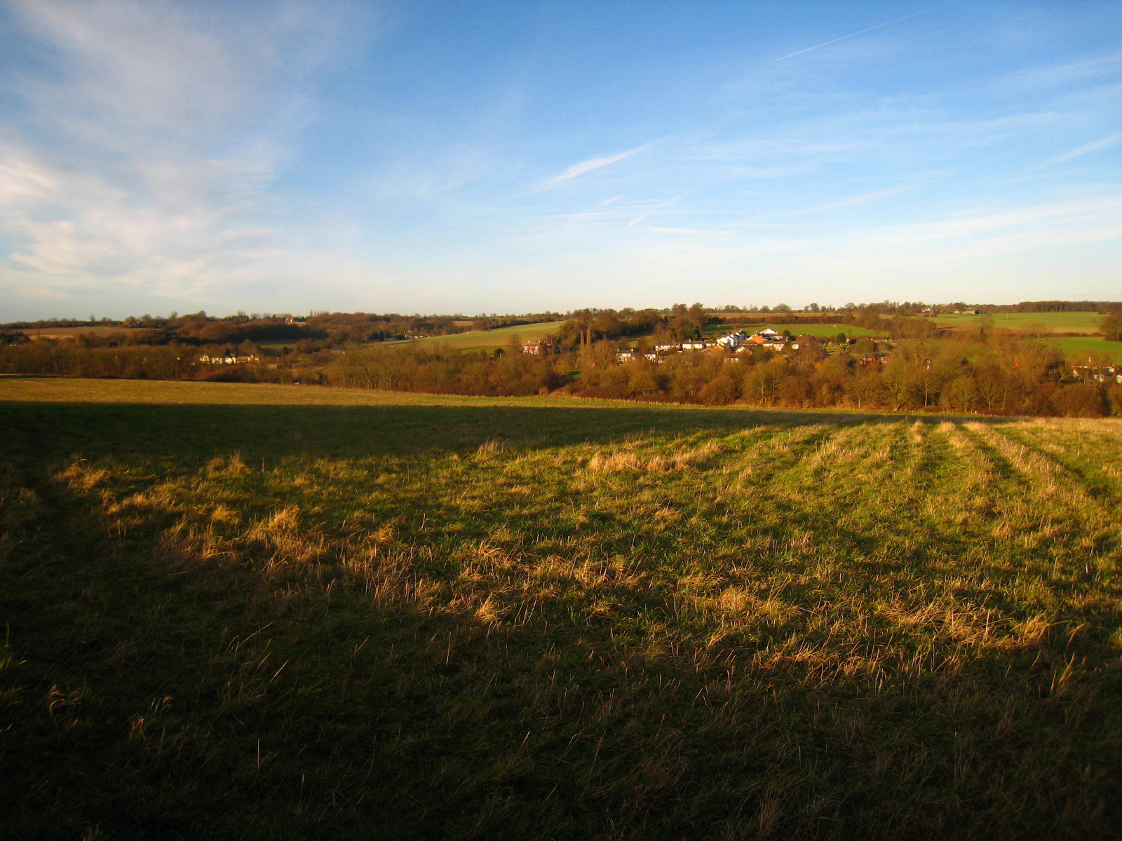
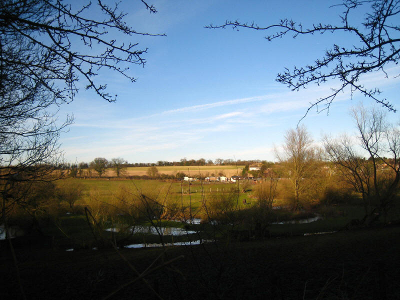
At Leasey Bridge we leave the railway and turn up the hill to Leasey Bridge
Farm, and continue along the side of the valley, which provides delightful views
of the valley, especially from this, the final bench of the day
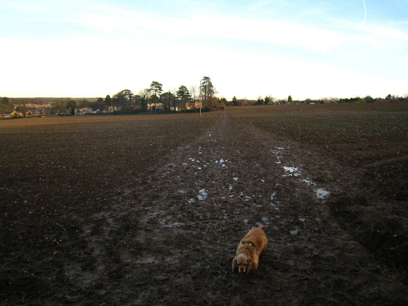
Just when I thought we were going to finish the walk with George in not too
muddy a condition, the very last field has recently been ploughed, and the
result when George and I got to the other side was very muddy feet for both of
us.
Well, this was very much a walk of two halves. It was interesting to see the
source, but Luton wasn't exciting. I've done a fair amount of urban walking on
the London Loop and Capital Ring, and although Luton would be better without my
accidental diversion into jungle, and when the roadworks have finished and
footpath is again properly open, I still couldn't wholeheartedly recommend it.
But when accompanied by the second and much more rural half of the walk it was a
good day out.
Zoom in for more detail, or see map in larger window: Ordnance Survey |
Open Street Map |
Google Maps
Total 21.38 km including minor diversions (about 20.1km on the
Lea Valley Walk), 220 metres of ascent (but mostly
pretty trivial ascents), in 5 hours 13 mins.
Continue the Lea Valley Walk towards
Hertford...
|