London Loop Walk 4:
Upminster Bridge to Coldharbour Point and the Thames
25 February 2006
Today Stephen did the fourth of his London Loop walks, this time with Henry for company. We set off from Upminster
Bridge station to travel to the River Thames and Coldharbour Point, the current
terminus of the LOOP. What had been billed as the worst end to a long distance
walk he'd ever encountered by Mark Moxon when he walked the LOOP, turned out to
be a generally pleasant walk with some industry which showed the reality of life
in London and on the river. As virtually the whole route was on tarmac, it was a
bit hard on the feet, but other than that there are no complaints.
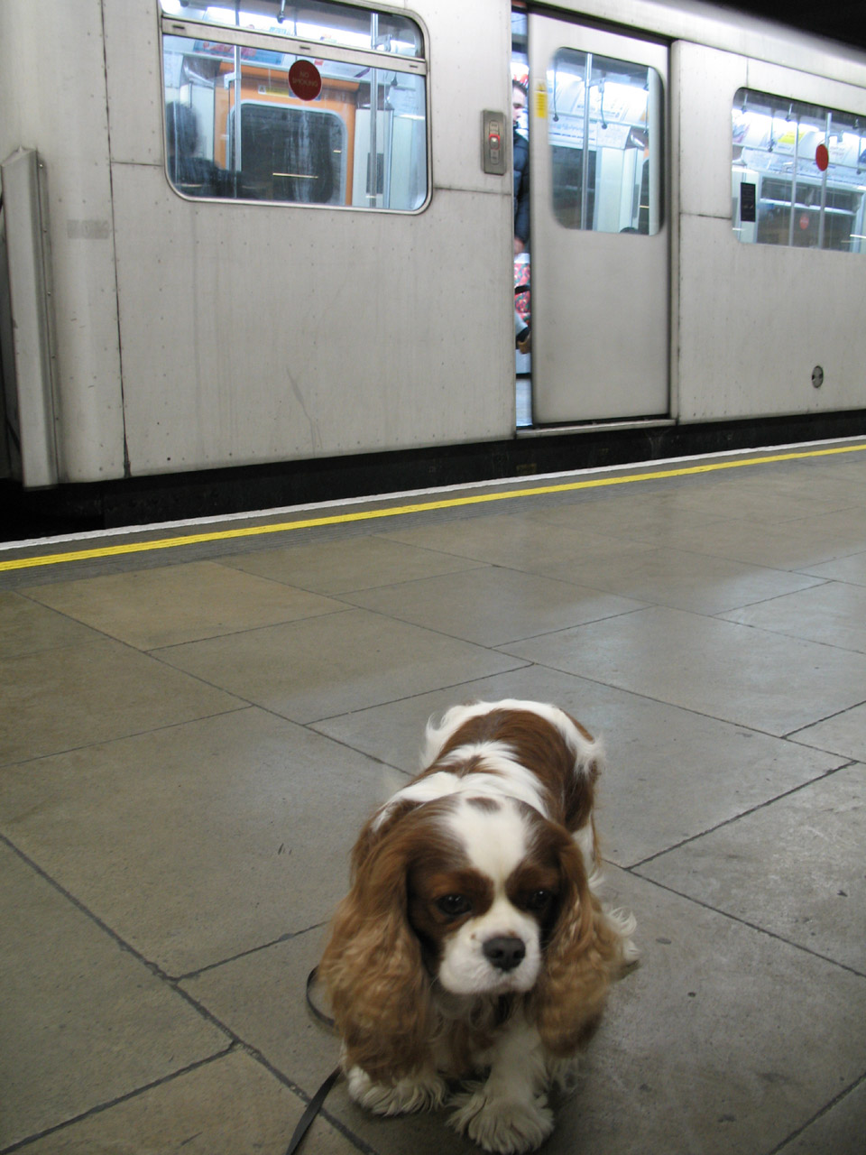
Henry at Mile End Underground station as we change from the Central Line onto
the District Line on our way to Upminster Bridge
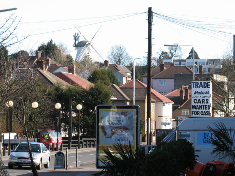
As we leave Upminster Bridge station, a glimpse of Upminster Mill.
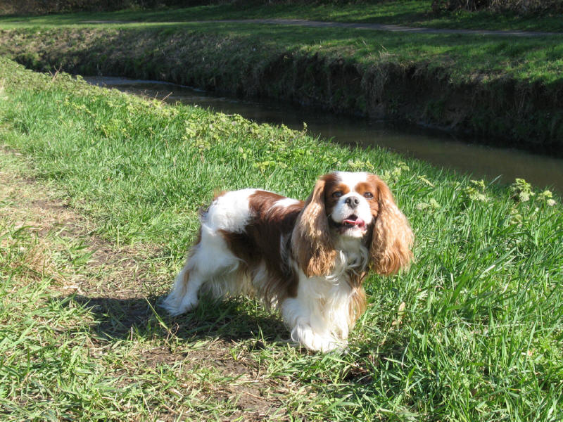
We quickly regain our companion from the previous
walk, the Ingrebourne River.
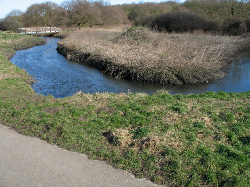
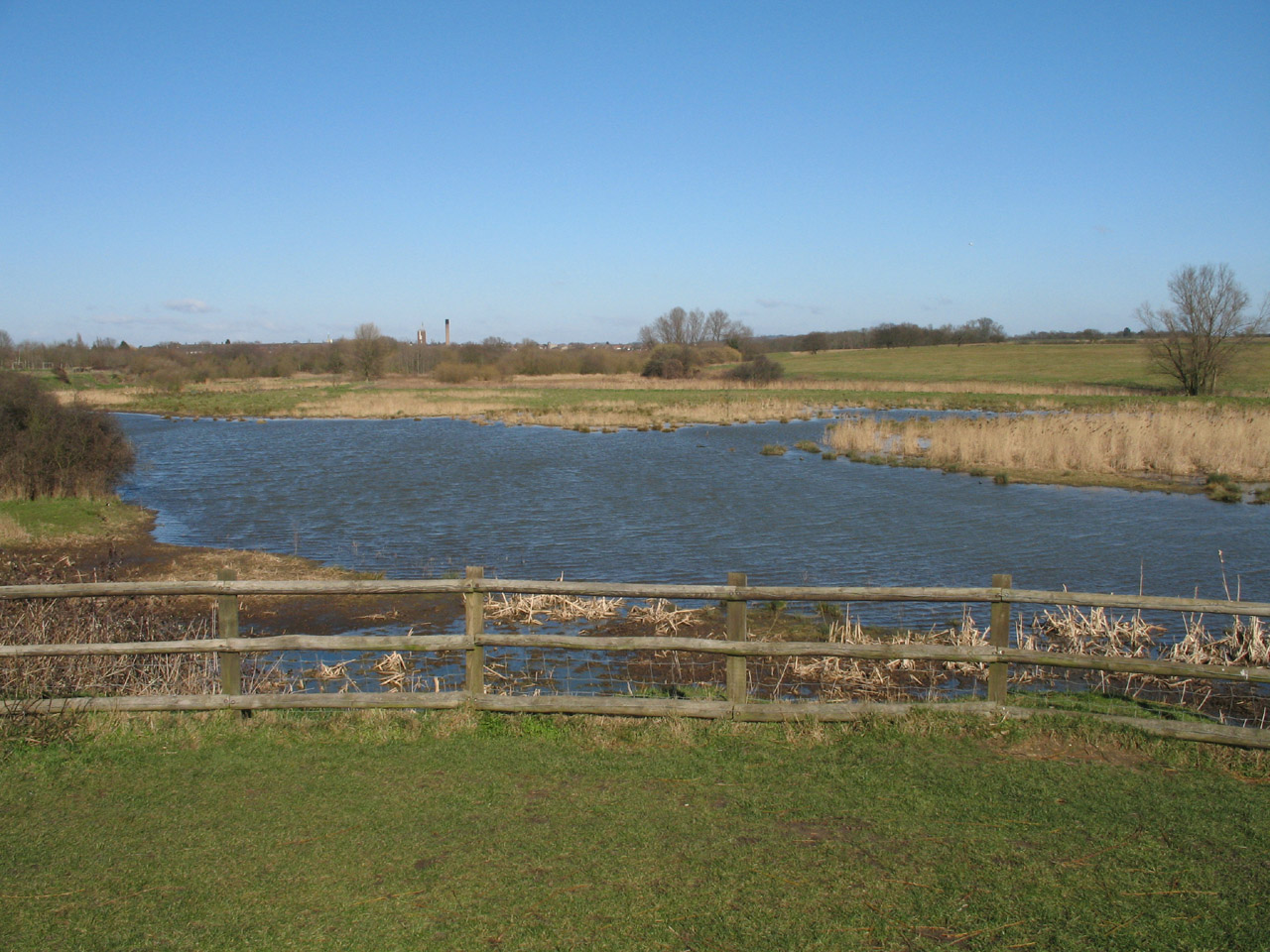
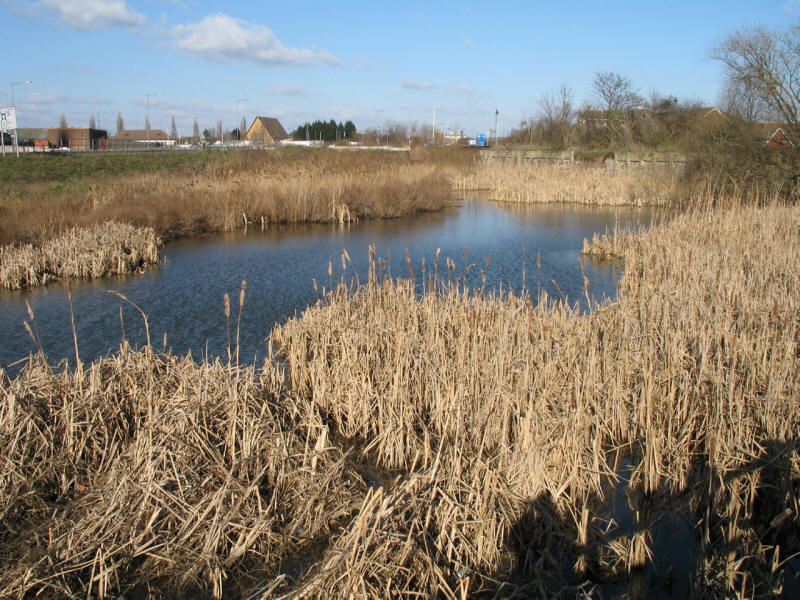
A loop in the Ingrebourne river
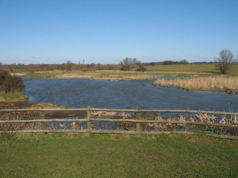
The Ingrebourne now widens into a series of lakes and marshes, the largest
freshwater marsh in London and an important nature reserve and Site of Special
Scientific Interest.
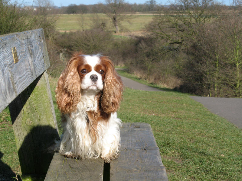
Henry takes a rest as we climb up out of the flood plain

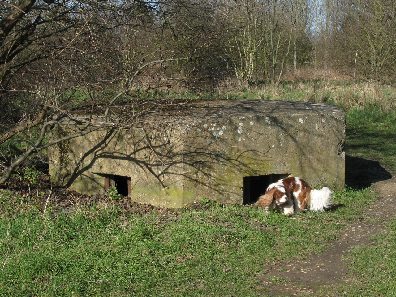
Checking out a pill box - the area was used as an airfield in the First and
Second World Wars, with the Royal Flying Corps defending London from Zeppelins
and the Spitfires of RAF Hornchurch playing an important role in the Battle of
Britain.
A lake in Hornchurch Country Park. After its use as an airfield, it was
extensively quarried, then filled in as a rubbish dump before being landscaped
and turned into the excellent country park it is today.

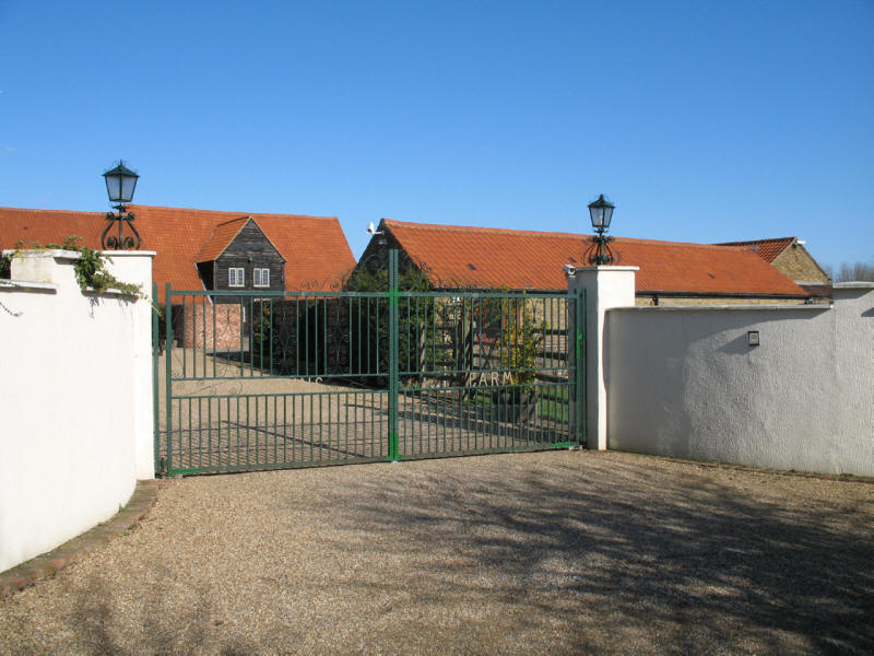
The entrance to Albyns Farm
The landscaping of the rubbish dump continues, and at the moment a diversion
away from the Ingrebourne is necessary along the very busy A125 road. After
crossing the old A13 we reach Rainham village, where we find the river for the
last time, now with its fourth name, that of Rainham Creek. This was navigable
from the Thames to here until the 19th century.
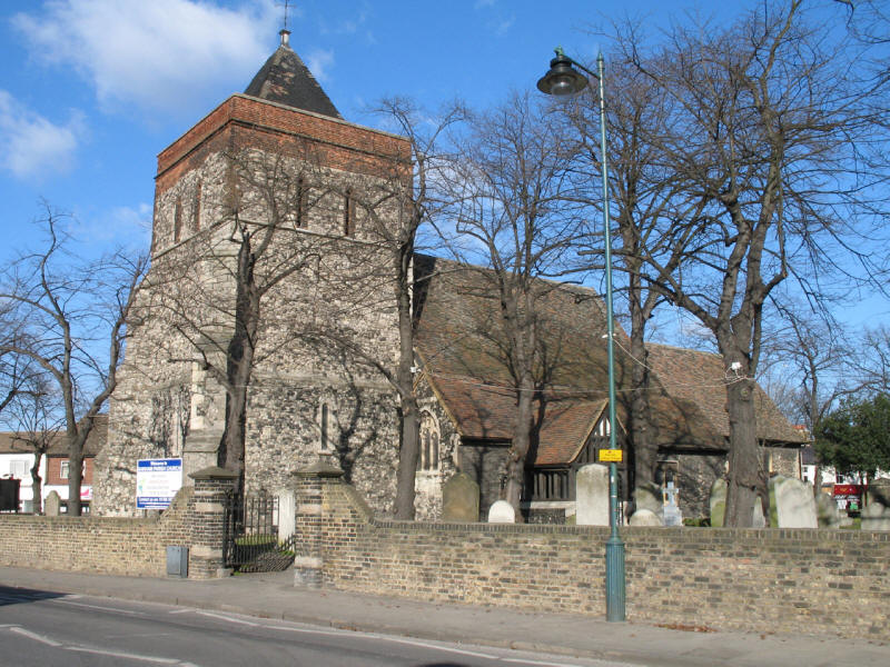
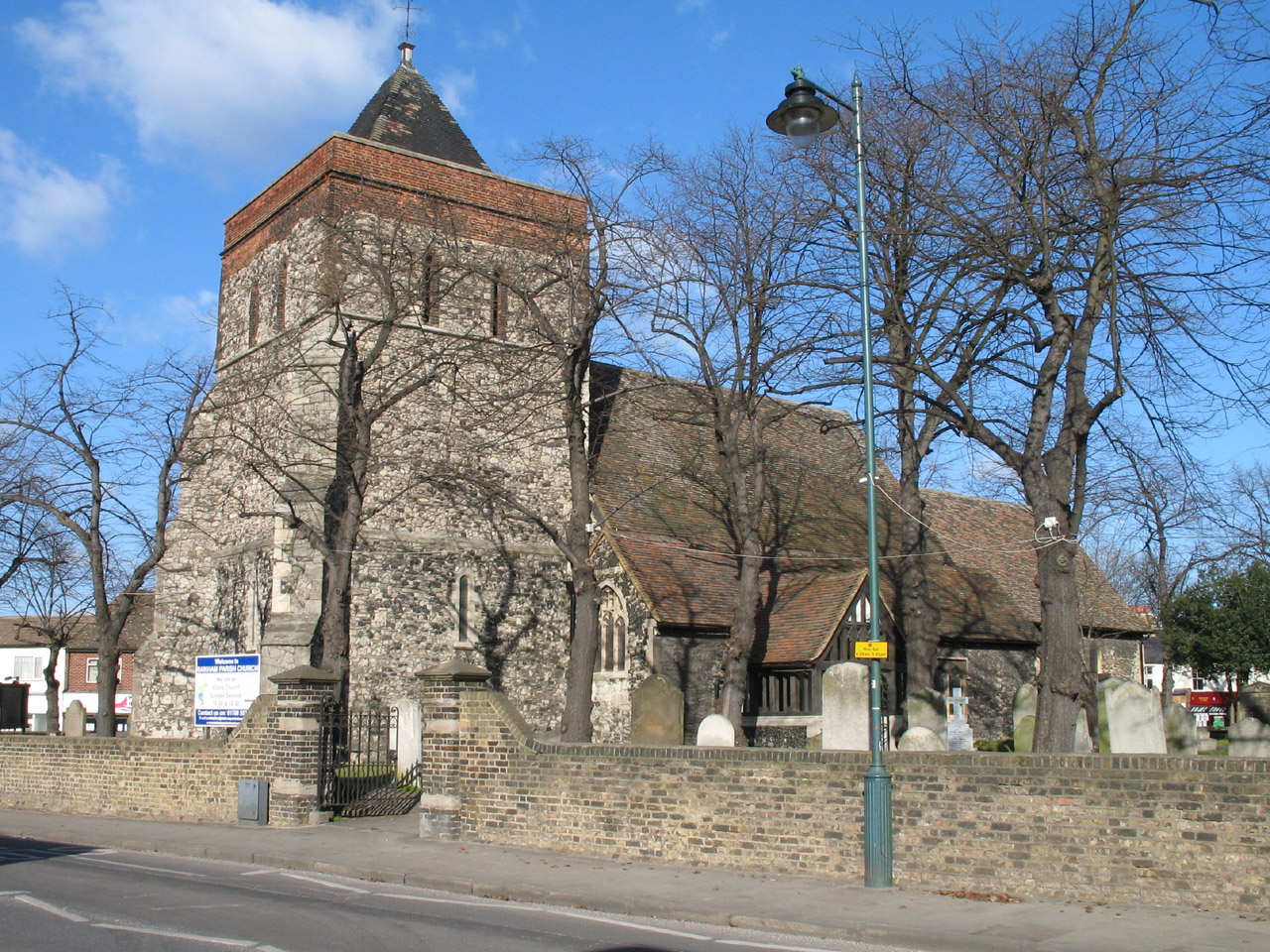
The parish church of Rainham, uniquely dedicated to St Helen and St Giles, is a
good example of a late-Norman church, dating from about 1179.

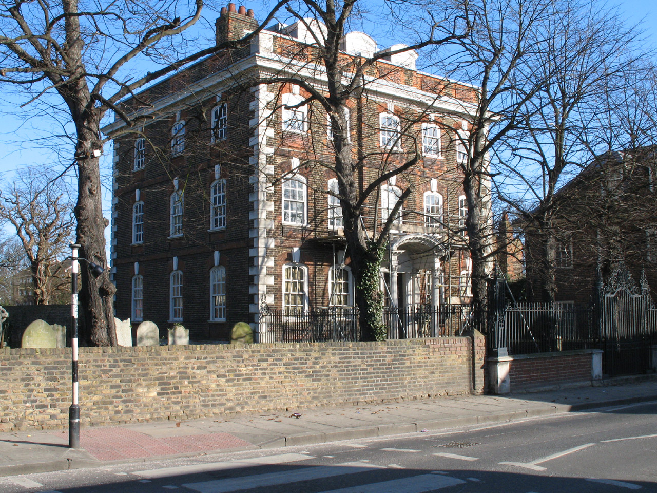
Rainham Hall, completed in 1729 for the merchant and shipowner John Harle, who
also owned the wharves on Rainham
Creek. It is now owned by the National Trust, but is only open by written
arrangement.

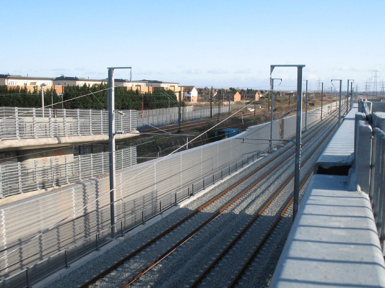
We take Ferry Lane across the old railway, and then a bridge across the new
Channel Tunnel Rail Link, due to open in 2007.

Ferry Lane has been severed by the CTRL - you can see the barriers of the level
crossing across the old railway, but the road ends a few metres over the line
and is only of any use for pedestrians who must then use the bridge to cross the
new railway.
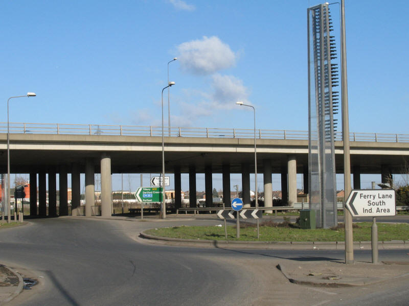
We continue along Ferry Lane under the new A13.

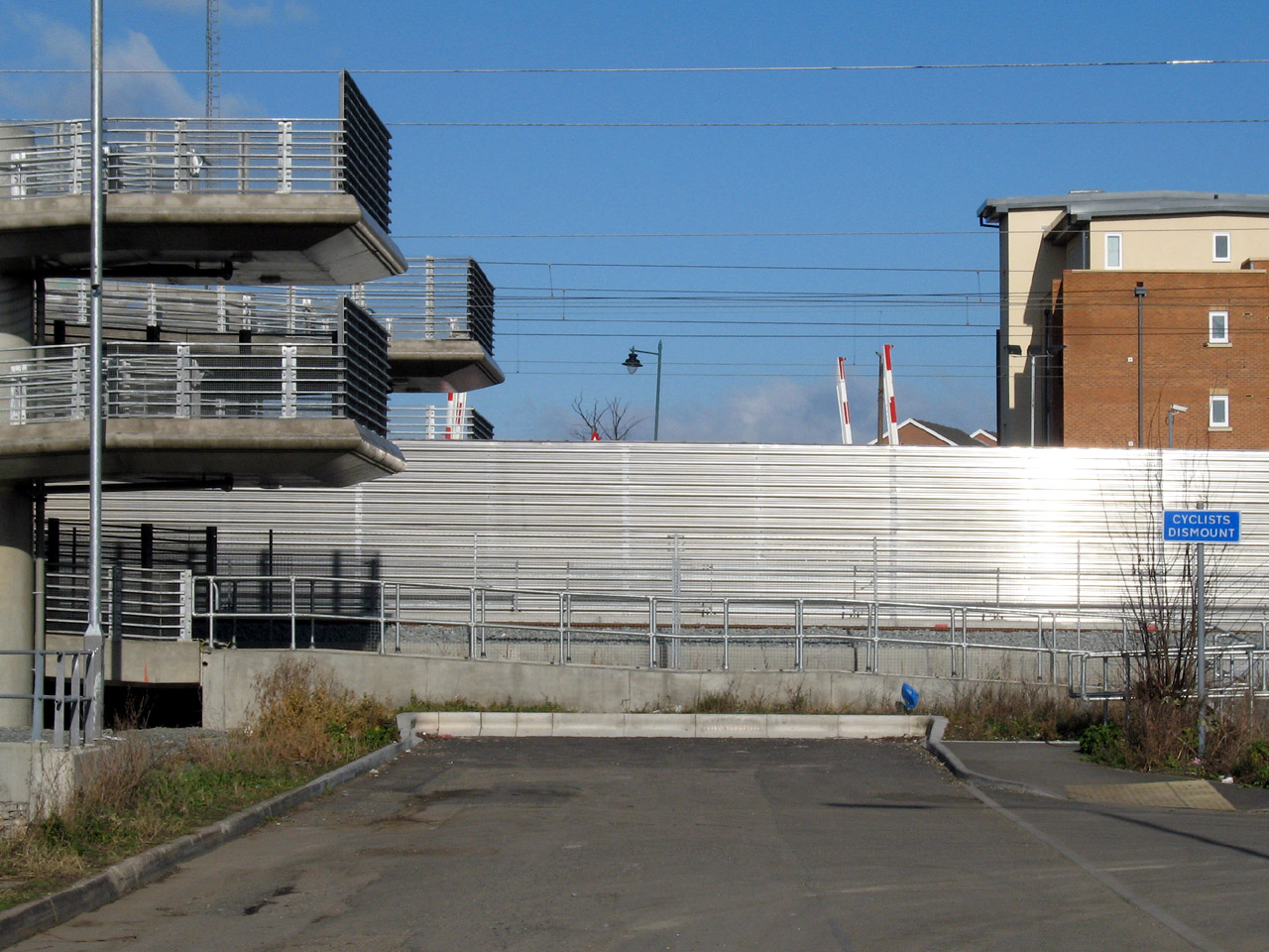
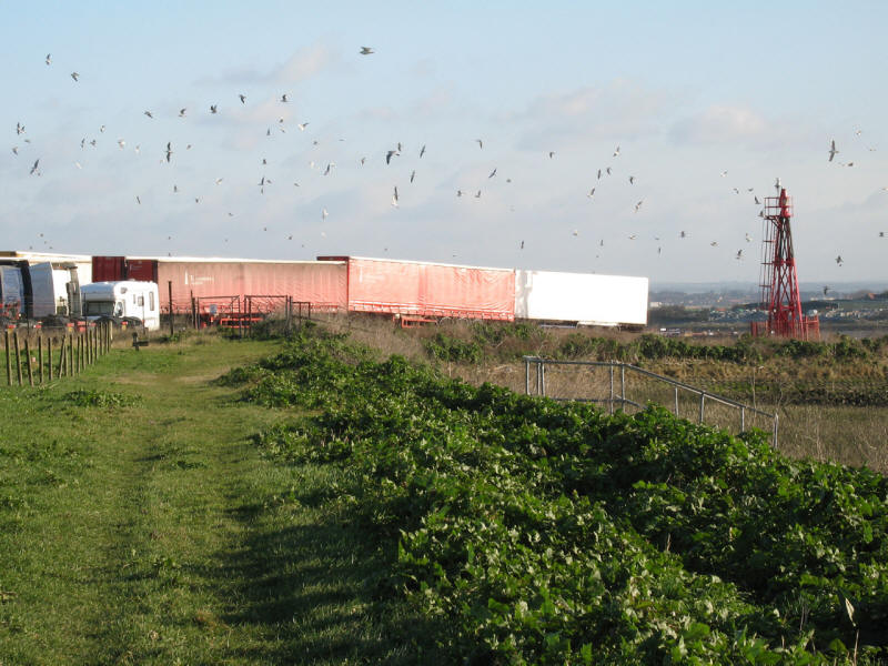
There is now an industrial section of the walk
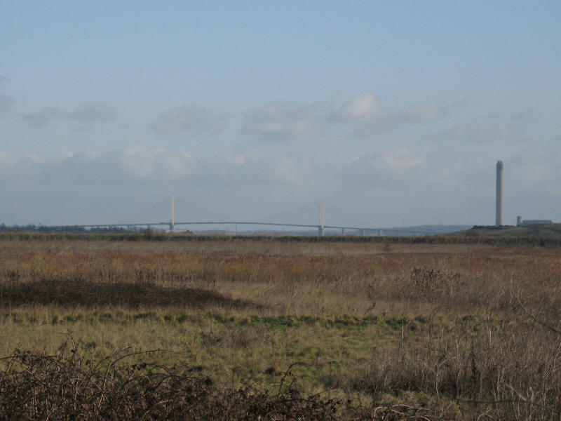
But there is still some wild land - across Rainham Marshes we see The Queen
Elizabeth II Bridge at the Dartford Crossing
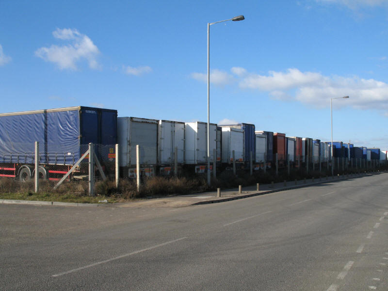
Lots and lots and lots of lorries going nowhere
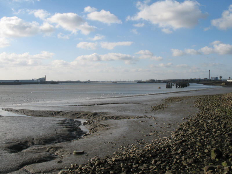
Ferry Lane eventually brings us here, the River Thames. A ferry from Rainham to
Erith (start of section 1 of the LOOP) was founded in 1199, but sadly runs no
more.
Looking east along the Riverside Walk, we travel along the high flood protection
bank of the Thames

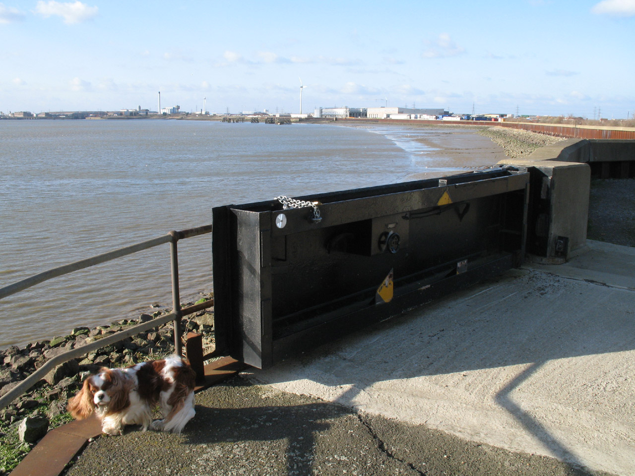
Henry and a flood gate
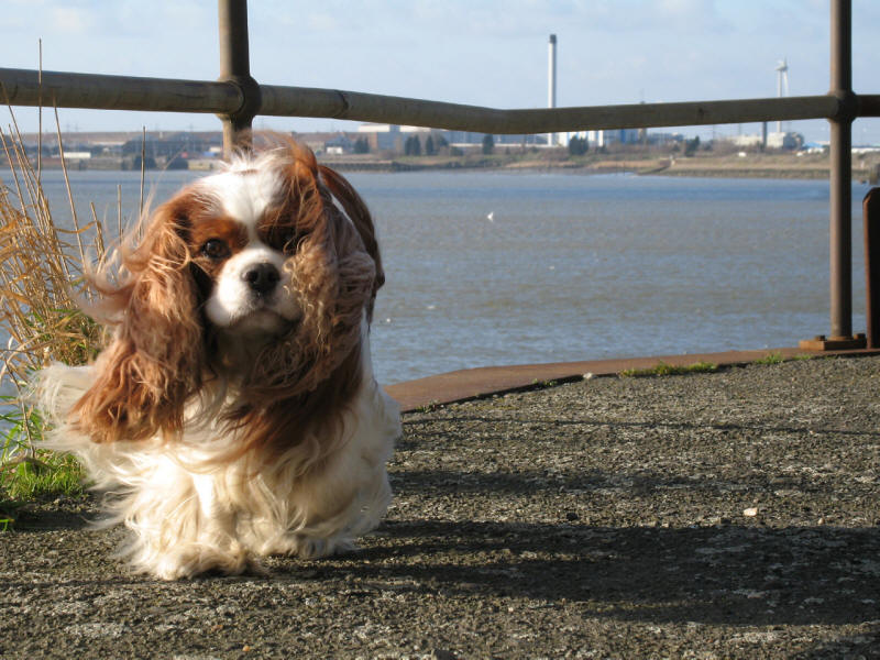
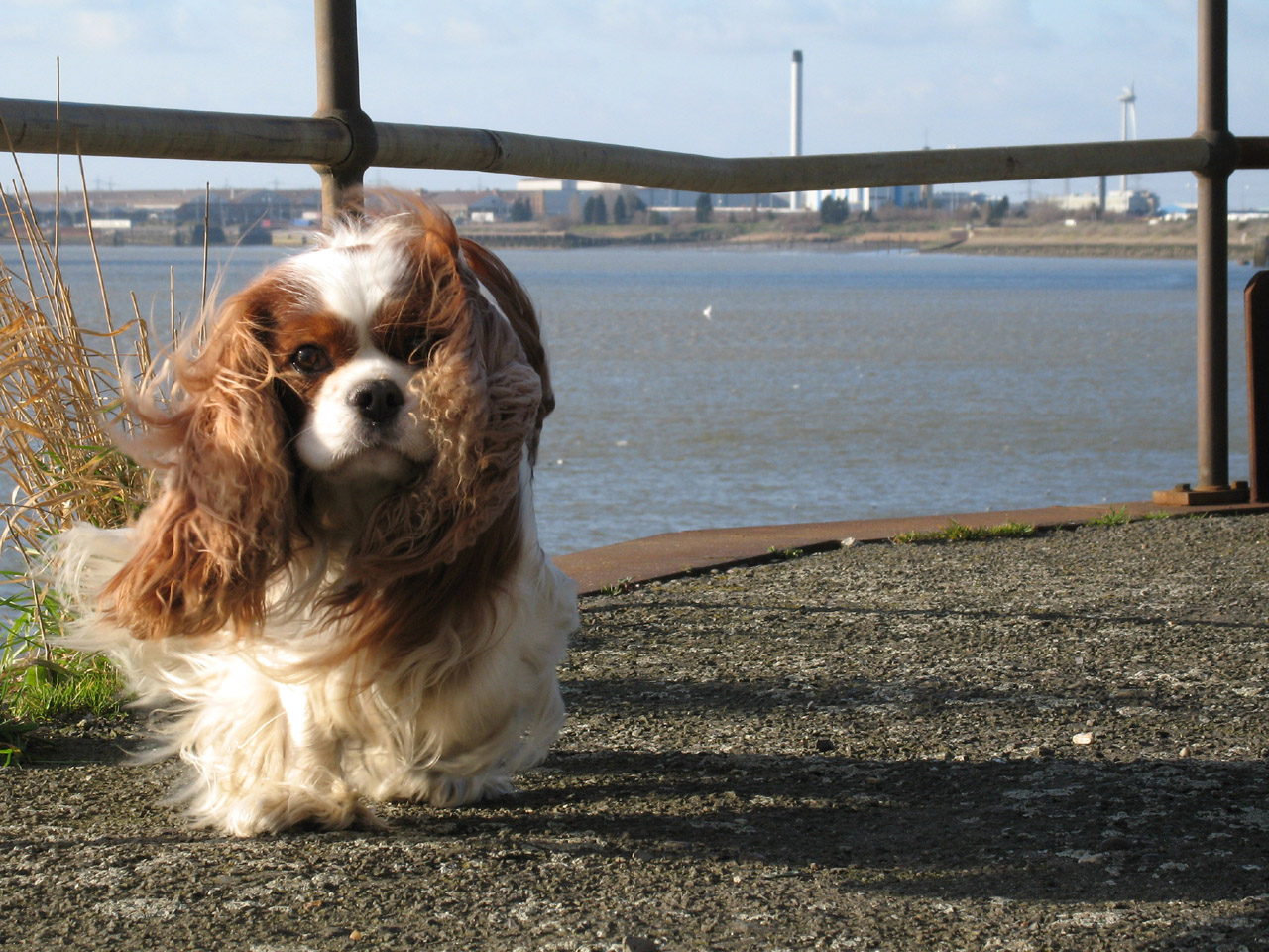
Henry trying for the 'artfully windswept' look - shame about the background!

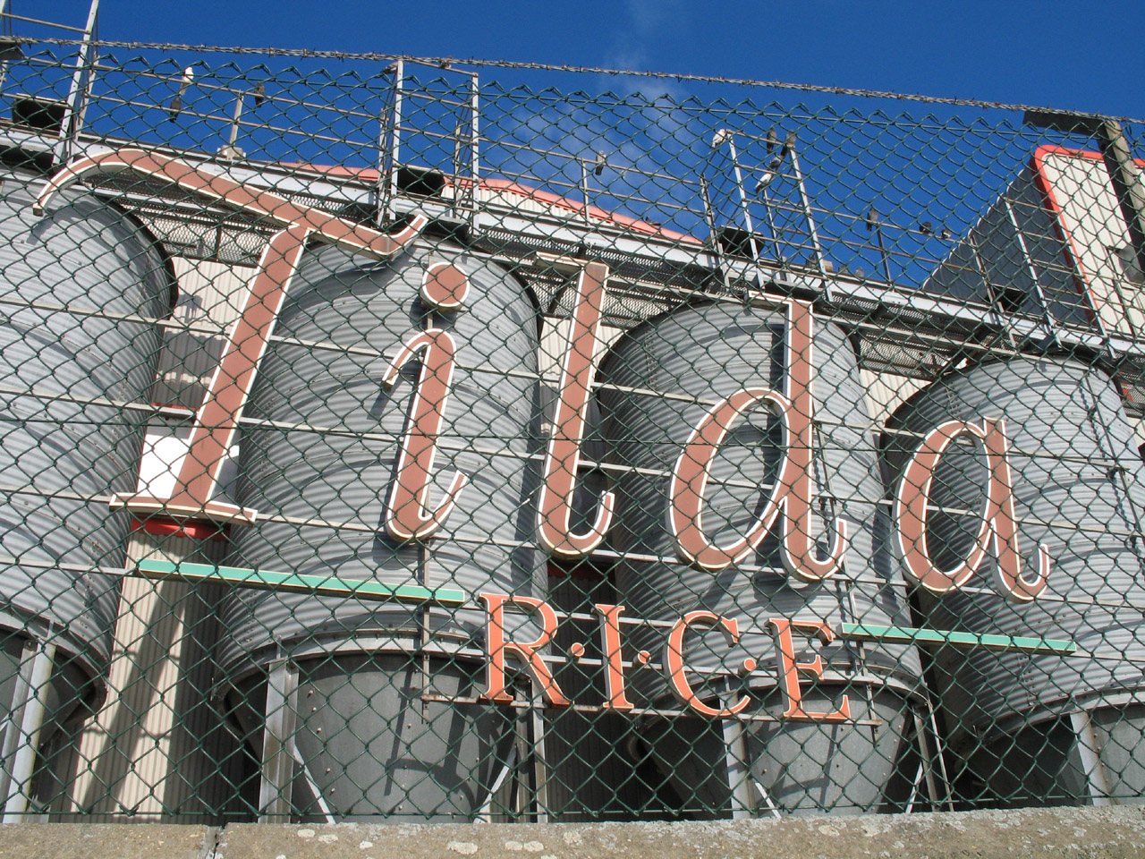
The Tilda Rice factory is a prominent landmark on this section of the LOOP
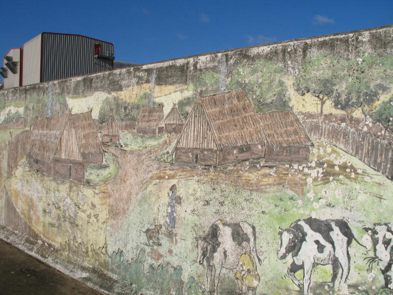
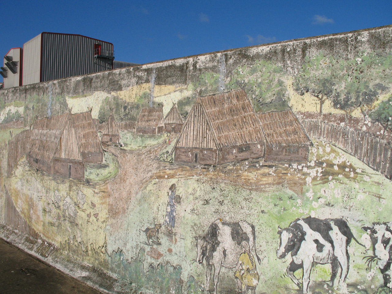
A part of the Havering Riverside Mural, a celebration of life at the riverside
from the Iron Age to the present, the work of artists at the Nason-Waters centre
in Rainham.
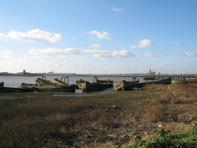
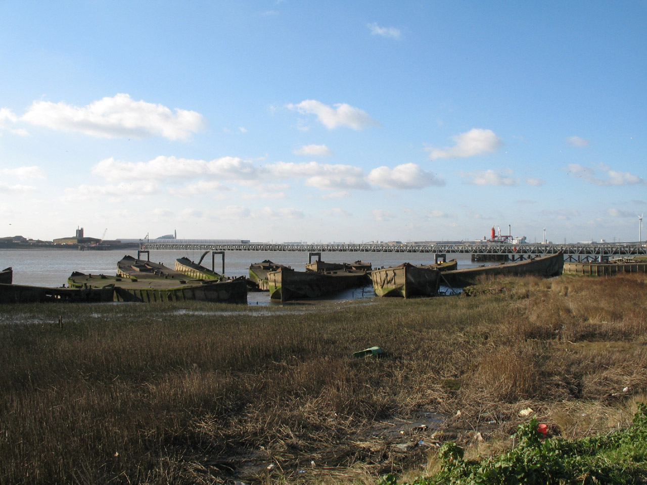
These are concrete barges stranded on the mud. These were used as part of a
Mulberry
harbour during the Allied invasion of Normandy in 1944. They were used to
shore up flood defences in 1953, but are now abandoned.

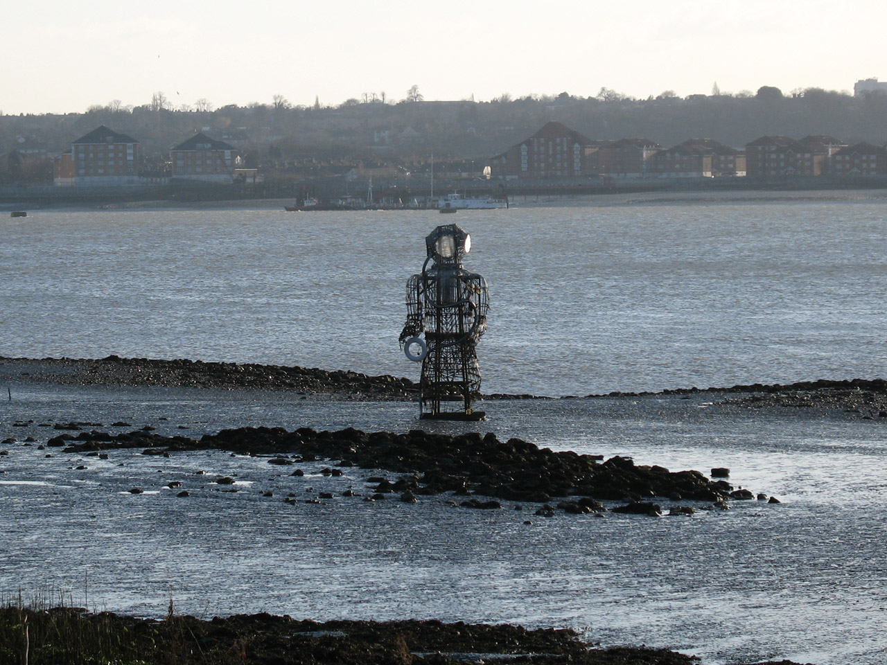
A piece of art on the mud. Not sure what it is supposed to be.

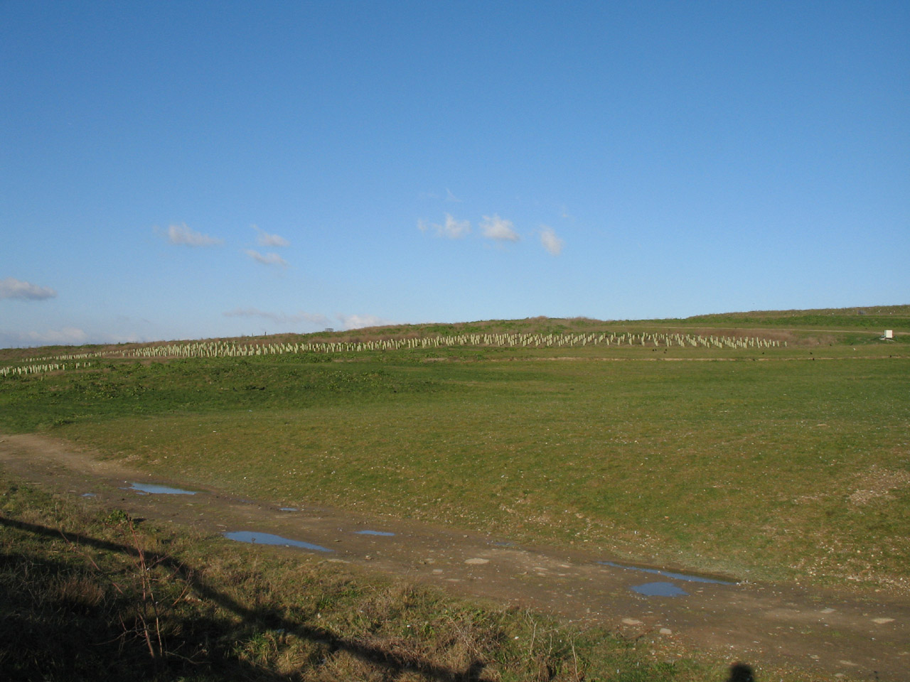
Another rubbish dump gradually being transformed - the rubbish was formerly
brought in large quantities by barge
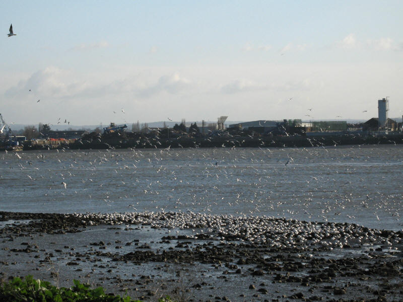
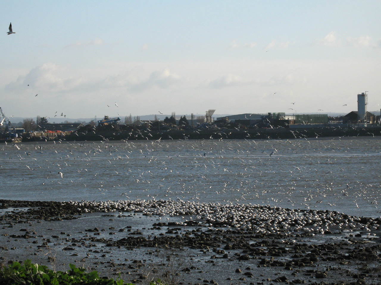
Large numbers of gulls favoured this particular bit of the river-shore for some
reason
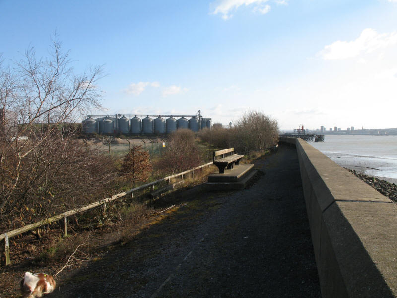
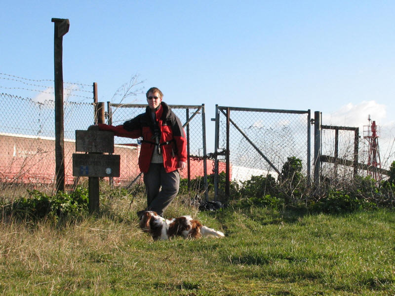
Approaching the end of the line, with the beacon tower on Coldharbour Point
doing its best to give some feeling of grandeur but failing under the severe
challenge of the rickety gates across the path and the lorry park.
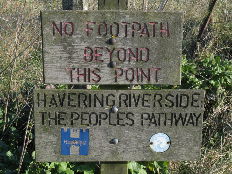
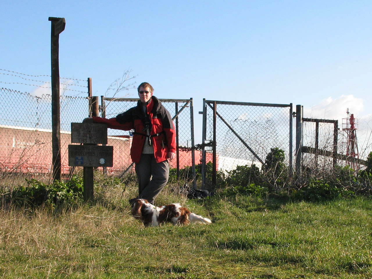
There is something ironic (possibly deliberately so) about the juxtaposition of
the phrases "No footpath beyond this point" and "The people's pathway". It is
intended that, one day, the path will continue along the river front to Purfleet.
But until that day, this is as far as you can go, and as the finger-post with
only one finger shows, there is no alternative
but to turn round and retrace your steps back towards Rainham. Next time - the
London Loop from
Erith to Bexley
Post-walk note, January 2008: Mike Sands from Havering reported to
me in November 2007
that the path is now open all the way to Purfleet. Further investigation on the
Walk London website shows that while the LOOP now extends to Purfleet, it
does so by taking Coldharbour Lane across Rainham Marshes and Wennington Marshes
from near the Tilda Rice factory, and thus avoids most of my the walk along the
Thames and my climax at Coldharbour Point, though does provide new Thames
walking nearer Purfleet. The official leaflet says when you reach the Tilda Rice
factory "you can go no further until new paths have been created. Signs will
tell you when the LOOP can continue that way." Although on receipt of Mike
Sands' information I vowed to go back and complete this section again, I may
perhaps postpone that until the route past Coldharbour Point is fully open,
which would be an excellent end to the LOOP.
Section 23 Upminster Bridge station to Rainham station: 7.9km, 2 hours 15 minutes
(including 35 minutes stopped), 30 metres of ascent
Section 24 Rainham station to Coldharbour Point: 3.9km, 1 hour 10
minutes (including 15 minutes stopped), 26 metres of ascent - plus the return journey from the
dead-end


|