London Loop Walk 16:
Hatch End to Elstree
23 September 2006
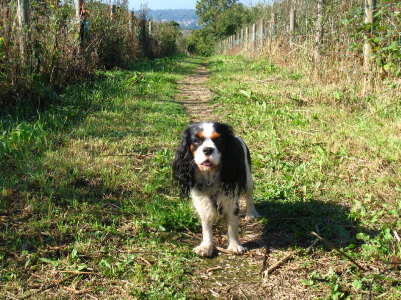
Today Stephen did the sixteenth of his London
Loop walks, once again with Ellie for company. George's damaged pad is
looking much healthier, and we have mostly dispensed with the socks, but he
isn't ready for a long walk yet.
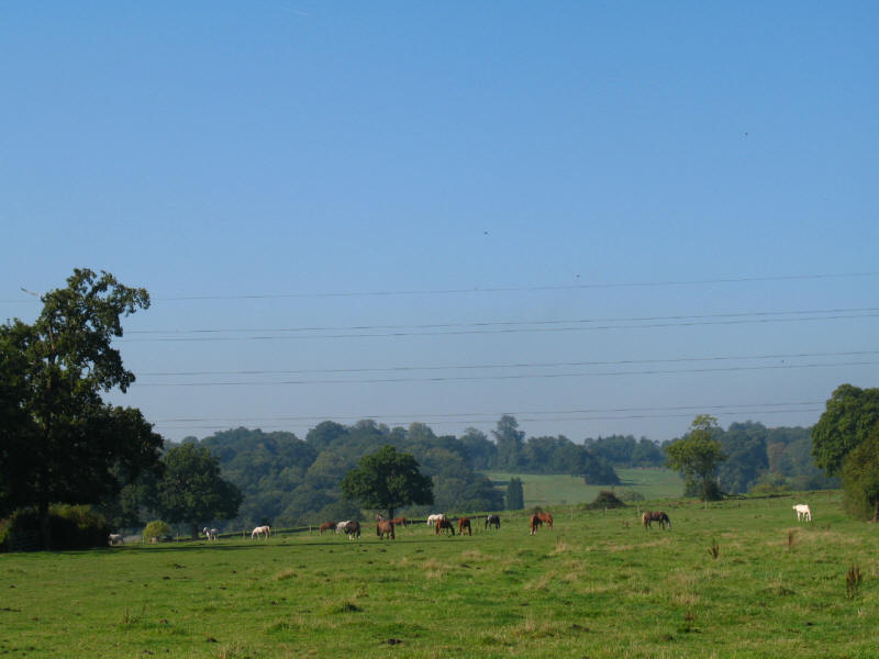
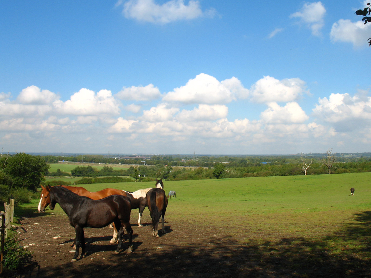
After rejoining the LOOP, we have a longish enclosed walk along the backs of
houses before we reach open fields with a view across fields of lots of horses -
possibly connected with the Pinnerwood Arabian Stud we saw last time.
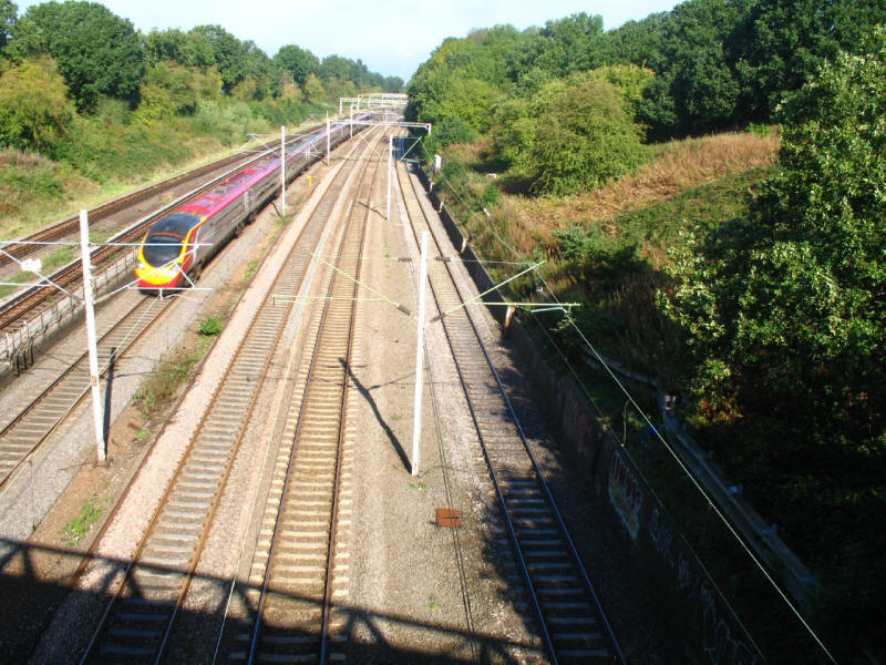
We then cross the West Coast Main Line with a Pendolino heading north at high
speed
After a walk along the suburban Oxhey Lane we reach open country again - Ellie
pauses as we climb away from the main road - following the instructions in the
guidebook which says to go straight on from the end of Oxhey Lane, whereas the
printed leaflet says to go right there and then left past the clubhouse. Both
are public footpaths, so I'm not sure which is "right", as I didn't spot a LOOP
waymarker at the end of Oxhey Lane, but the route we followed was the one shown
on the May 2006 Ordnance Survey 1:50 000 map. Generally the signing on this section was
excellent, particularly in the woods later on, where I was never in any
doubt about the right way to go.

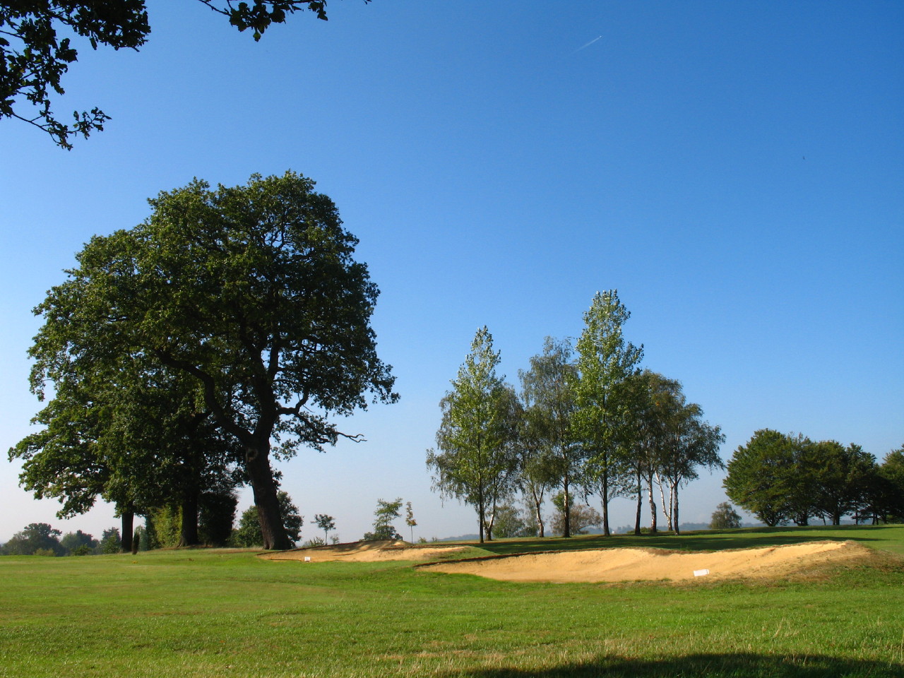
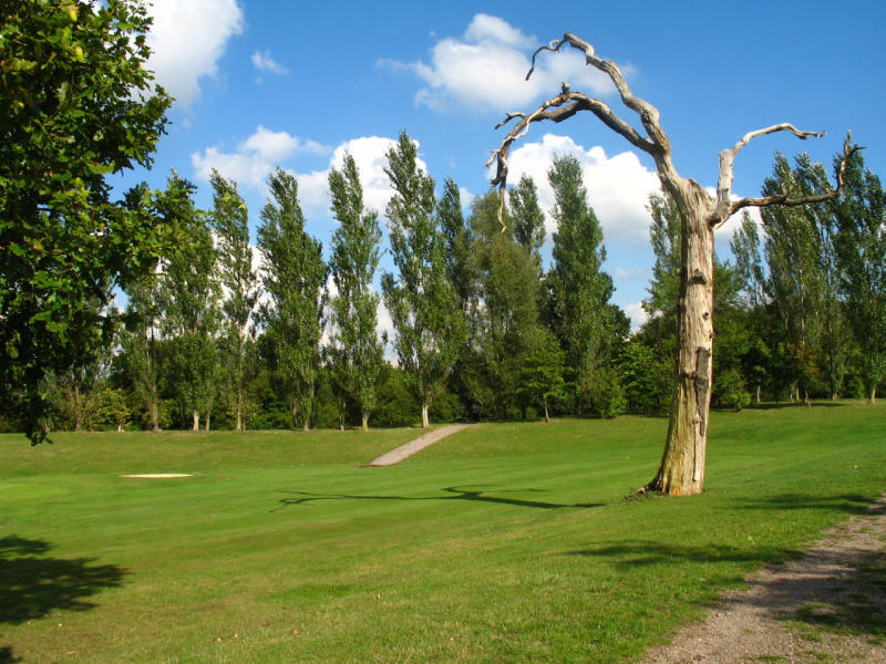
We then have a traverse of the Grim's Dyke Golf Course
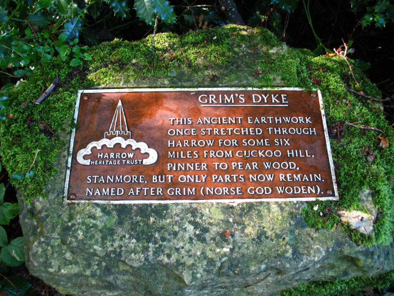
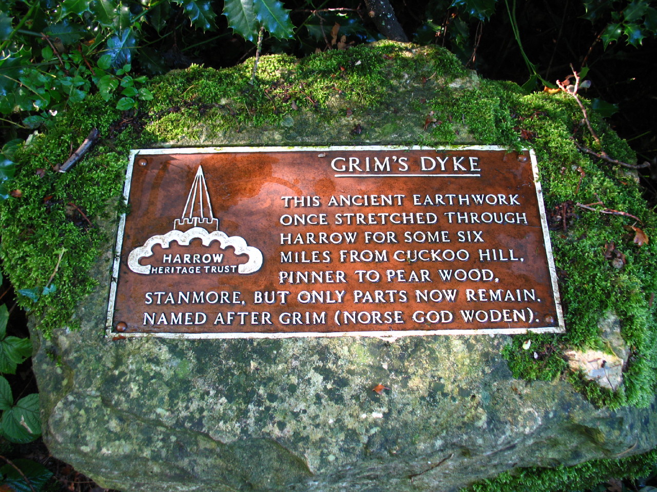
And then reach Grim's Dyke itself, perhaps better known as Grim's Ditch. The
exact date of construction is unknown but is likely to be late Iron Age, perhaps
around 300 BC. Unfortunately none of my photographs of it are much good, with
it being so dark in the woods, but there is an impressive bank and parallel
ditch. Exactly why it was built is also unknown - perhaps as a boundary marker
as it is unlikely to have been very effective as a defensive structure.
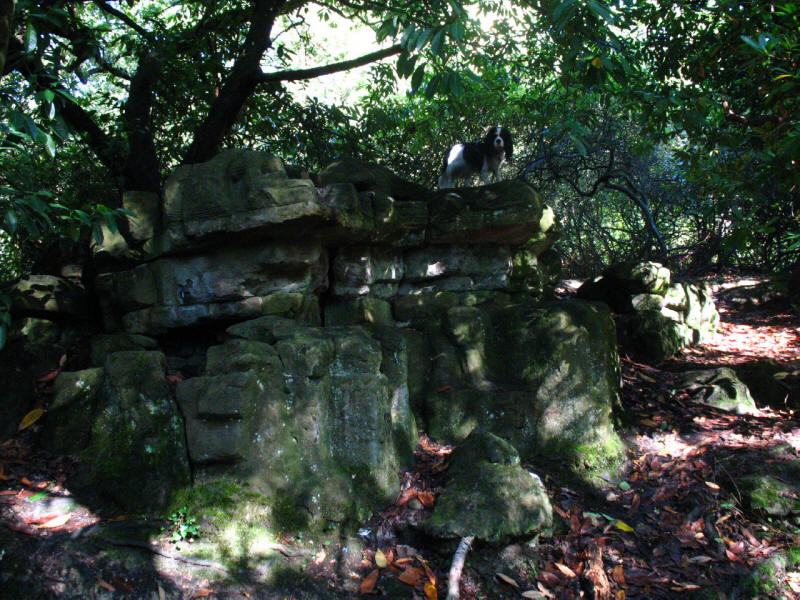
In the woods of Grim's Dyke, Ellie on top of an impressive rock outcrop
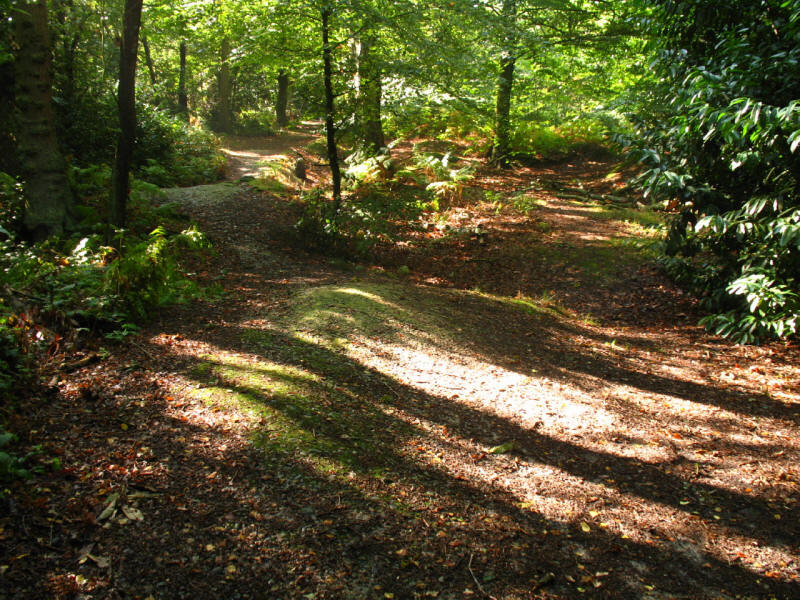
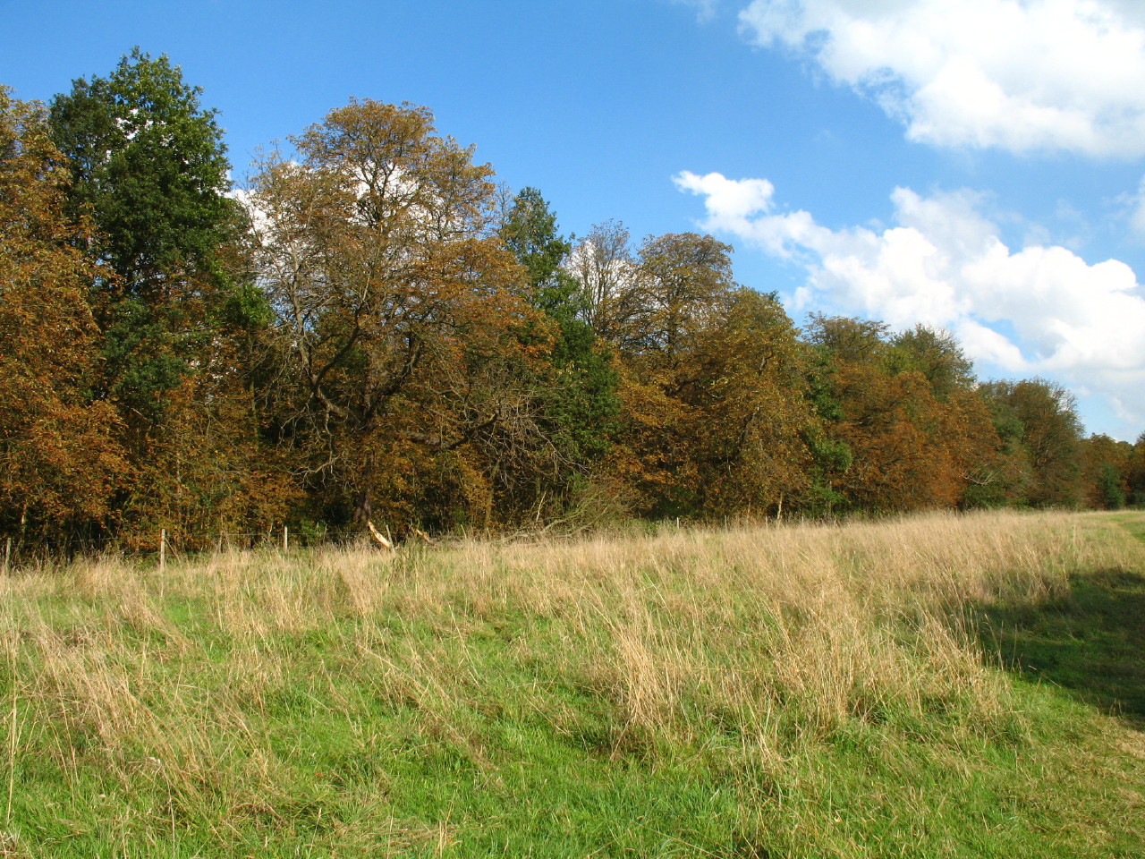
We continue through the woods of Harrow Weald Common. The undulating terrain is
as a result of the gravel extraction carried out by the commoners in the 19th
century, which eventually contributed to the passing of the Metropolitan Commons
(Harrow Weald) Supplemental Act 1899, which removed most of the commoners rights
and put the commons under the control of a Board of Conservators, which still
exists.
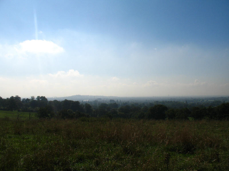
We emerge from the woods by Old Redding to find a spectacular view south across
to Harrow on the Hill
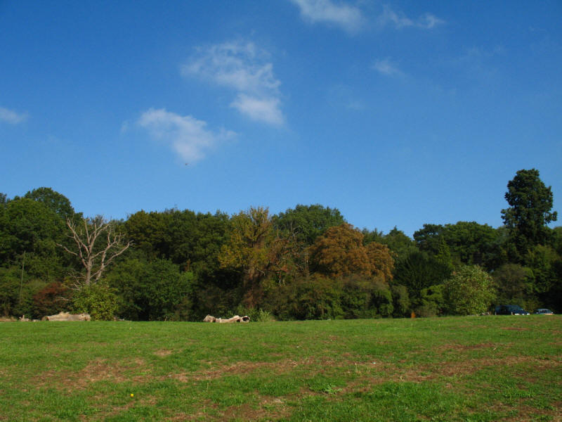
Looking back to the woods of Harrow Weald Common
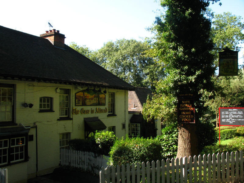
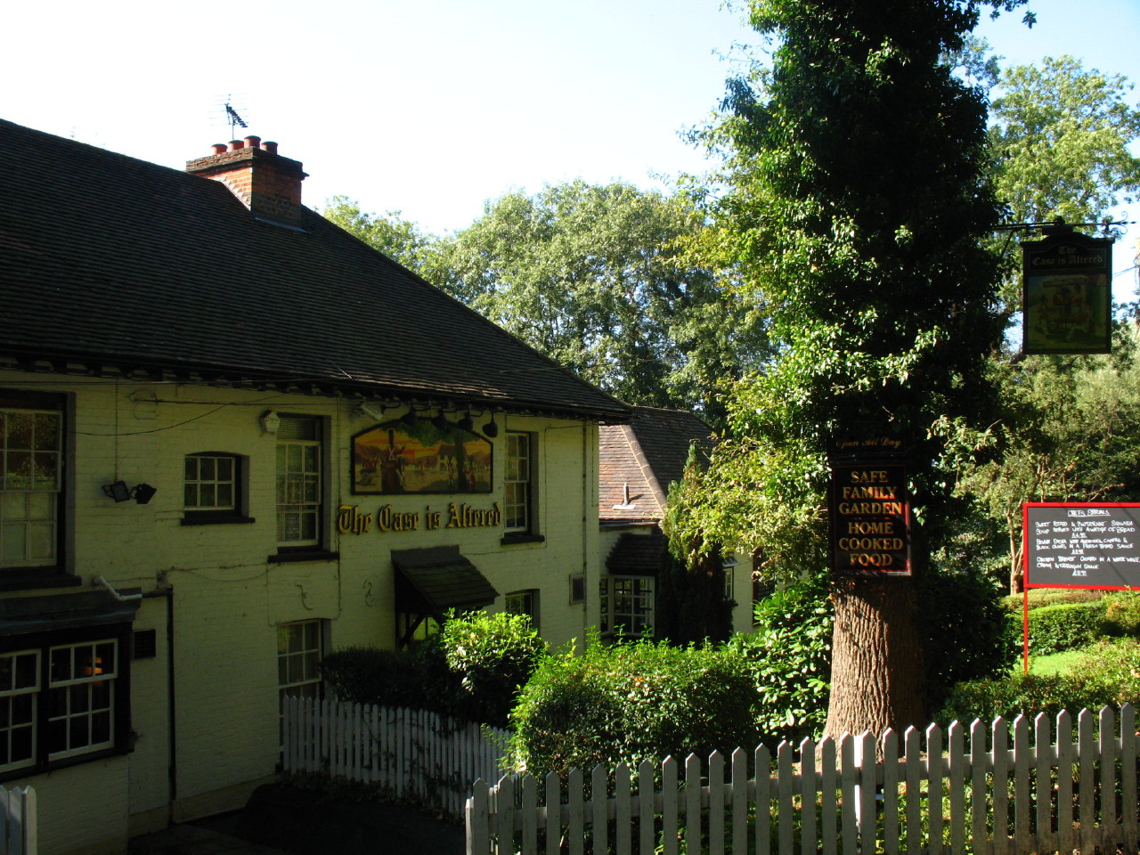
We pass The Case is Altered pub - the name deriving from the Spanish Casa
Alta, or "high house", it being perched on the edge of the escarpment high
above the land seen two photos above.
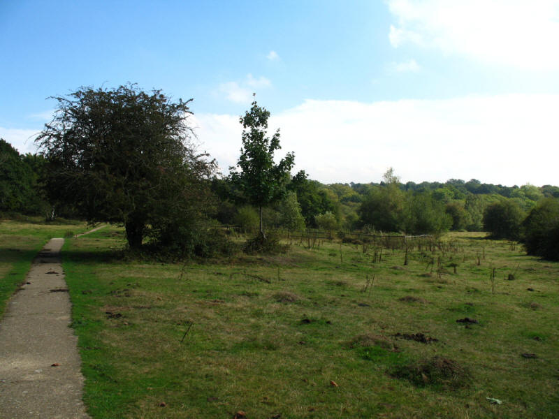
After further walks through more of Harrow Weald Common, we now reach Bentley
Priory Open space. Bentley Priory itself is owned by the Royal Air Force and was
the Fighter Command Headquarters for the Battle of Britain.
Ellie at the spot where we had the first half of lunch

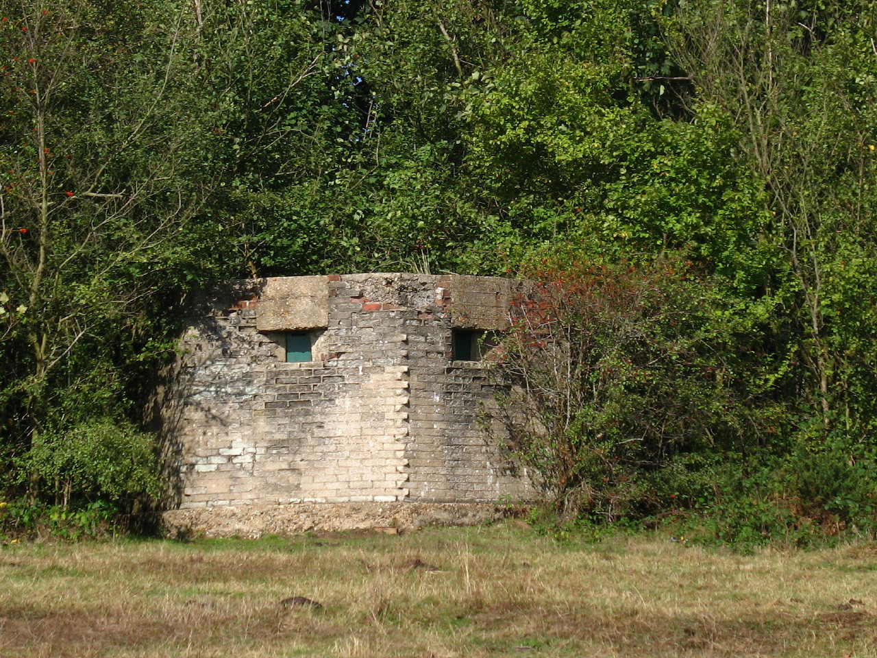
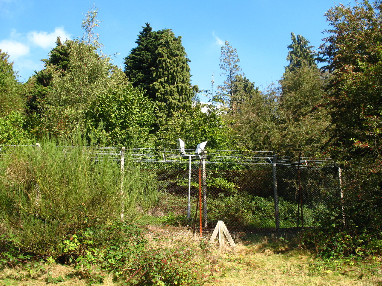
A pill box still protecting Bentley Priory
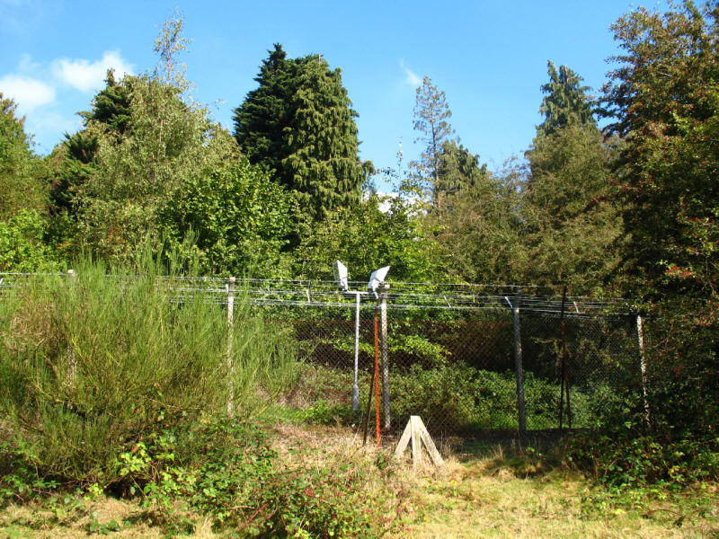
But perhaps more effective is the double row of barbed wire topped fences, with
floodlights between them. The trees mean that only small glimpses of the present
RAF activities are to be seen.

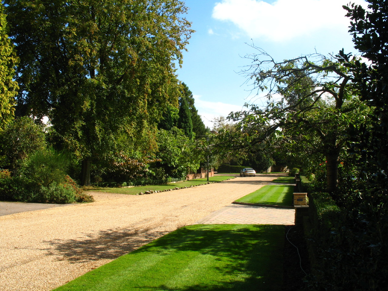
We then reach a bit of very posh housing - another of those suburban roads with
no pavements and very expensive houses. But just look at the quality of the
grass verges - they are absolutely immaculate, with exceptionally green grass,
mowed into ruler-straight lines, with edges which are so tidy they must have
been done with scissors.
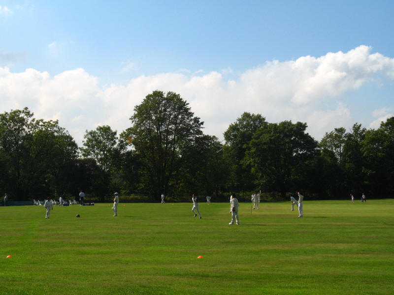
After crossing Warren Lane for the second of three times, we pass a cricket
match
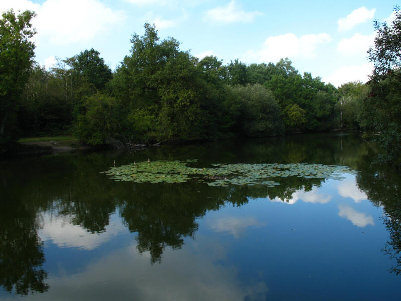
And then walk around this delightful lake known as Fish Pond
One of the two ponds on Stanmore Little Common, sometimes known as Caesar's
Ponds.

We cross Warren Lane for the third and last time, and pass the National
Orthopaedic Hospital before we reach more open country.
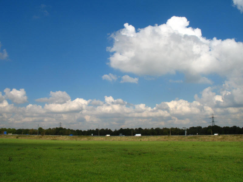
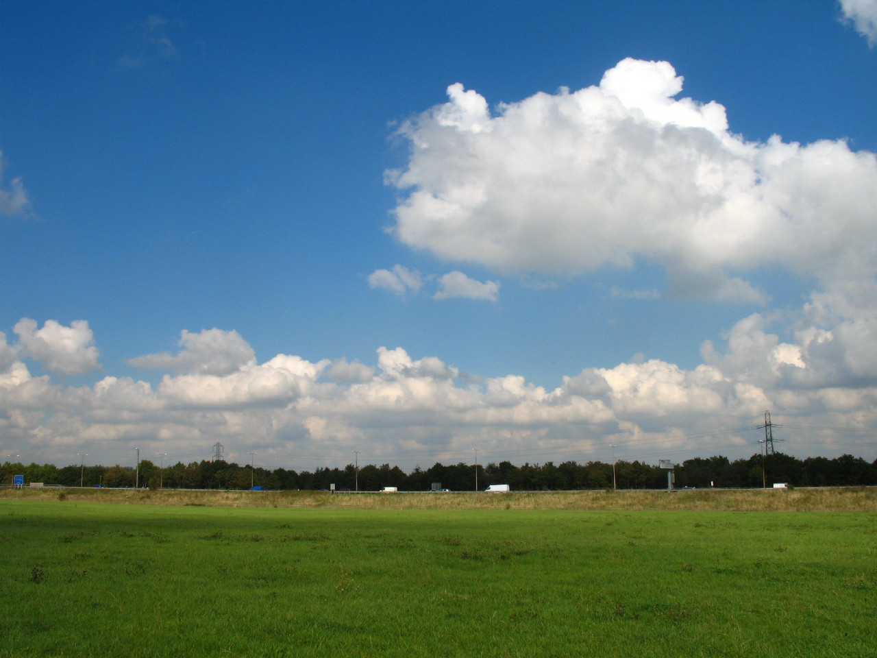
We make fast progress across the middle of this large grassy field as the
traffic on the M1 rushes by.
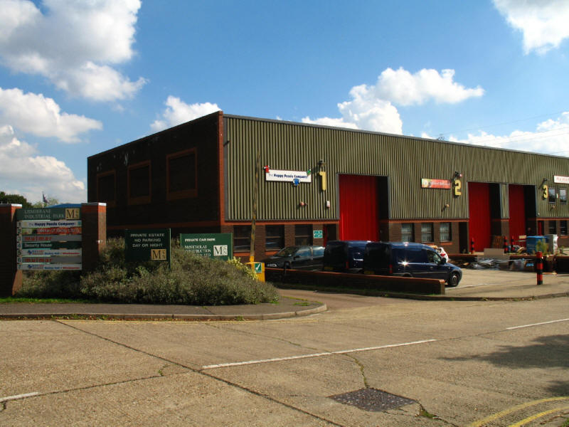
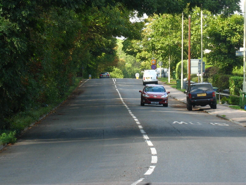
We pass under the motorway, then there is a very tedious trudge along the A411,
where the footpath is much too narrow, particularly given the heavy traffic
going too quickly. We pass an industrial estate on the right
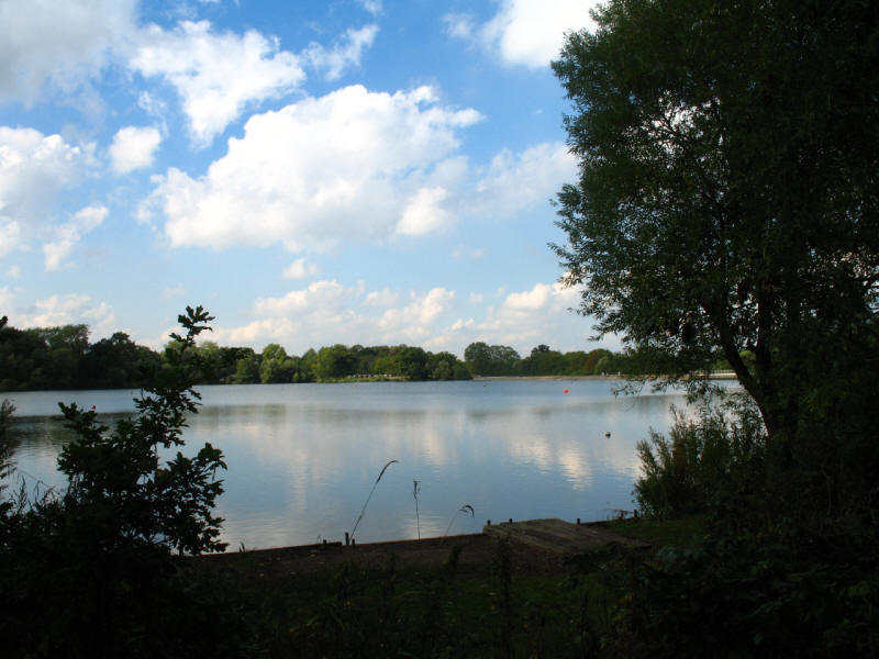
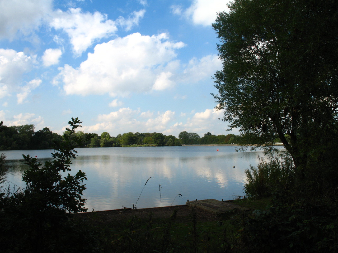
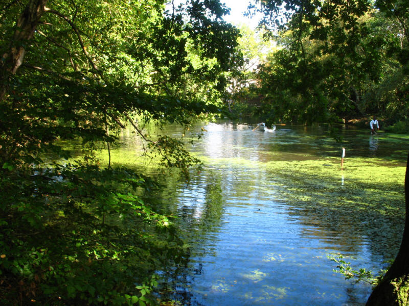
And eventually are much relieved to be able to leave the road and find the
tranquility of Aldenham Country Park and its reservoir. Aldenham Reservoir was
built as a condition of permission to construct the Grand Junction Canal. It was
to be fed with flood water, and supply the River Colne to compensate mill owners
for any water diverted into the canal. It was completed in November 1795, and
then enlarged in 1801-2. The original was constructed by French prisoners from
the Napoleonic War. The dam repeatedly slipped: although it has been suggested
that this was due to poor workmanship by the prisoners, the main reason was that
the clay soil used for the dam cracked in dry weather. A protective layer of
sand and gravel was added, topped with soil and grass. Today the dam is
additionally protected by concrete on the water side.
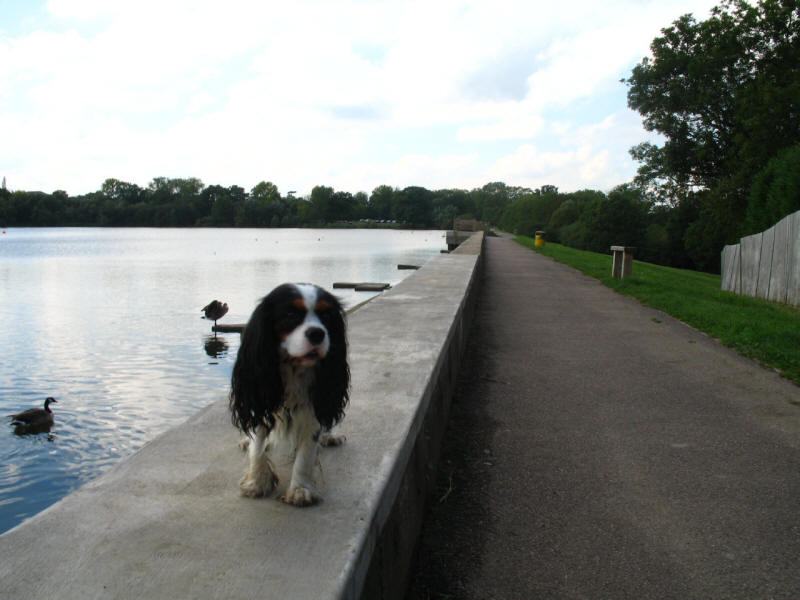
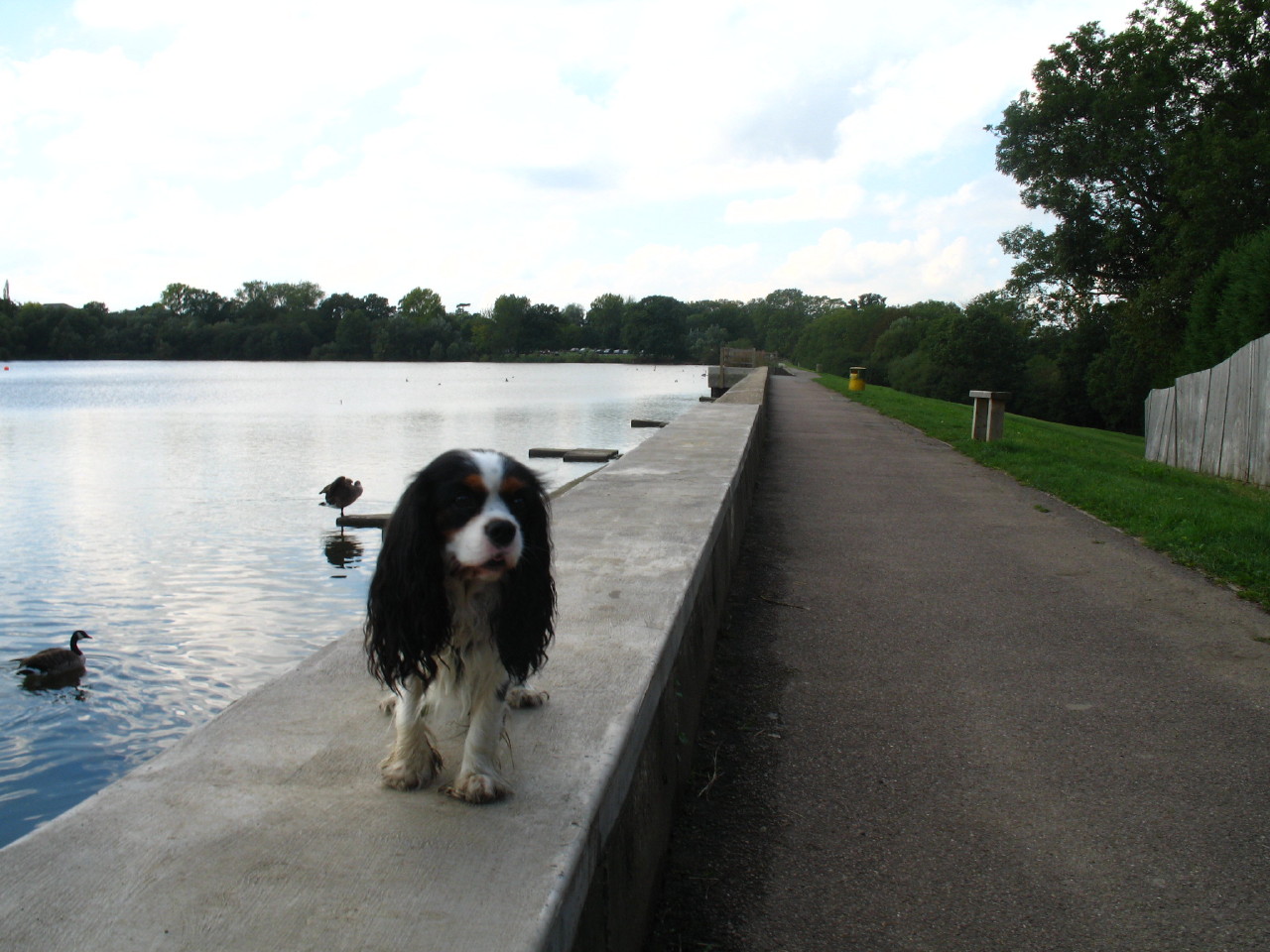
Ellie on the dam of Aldenham Reservoir.

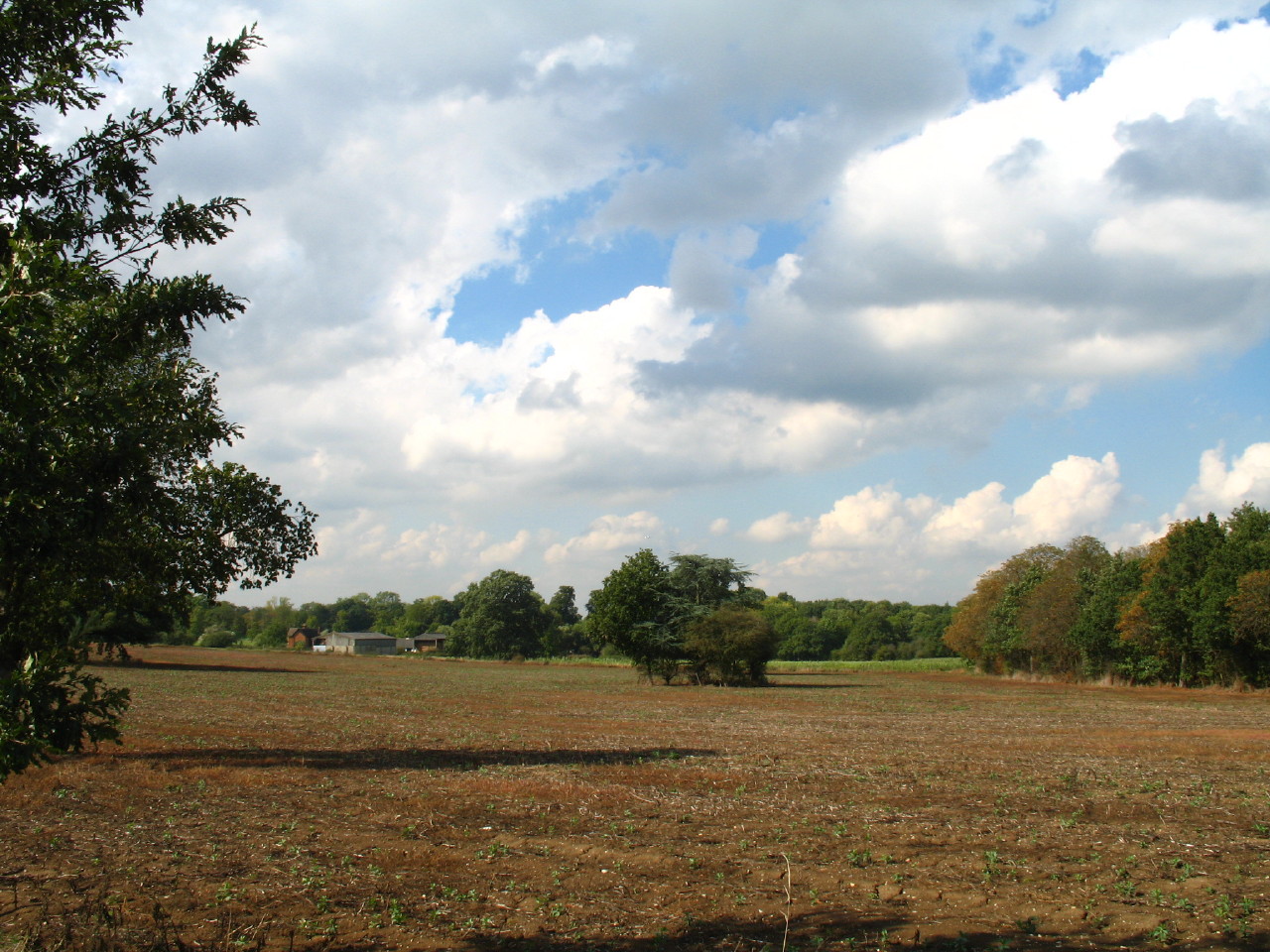
We then crossed Aldenham Road and made our way through Aldenham Park
A disused iron kissing gate in Aldenham Park
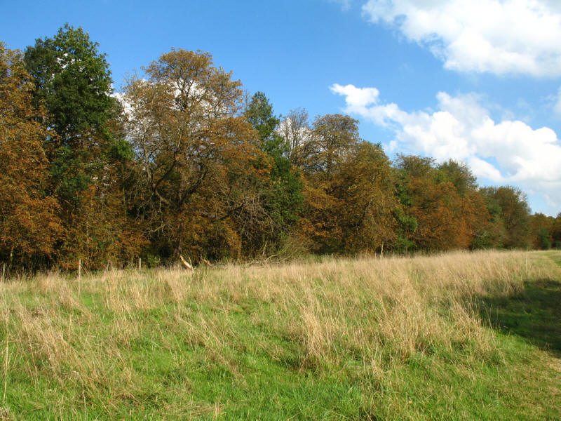
Horse Chestnut trees turning brown in Aldenham Park
We cross the A5183, once the A5, and thus make further progress around the
sequential road numbering of London. The route was originally an ancient trackway
created by the Celts, and was paved by the Romans who knew this section as Inter
II. The Anglo-Saxons named it Wæcelinga Stræt , literaly "the street of
the people of Wæcel", where Wæcel probably means foreigner, i.e. the Celts
of Wales in this context: subsequently, that name morphed into "Watling Street",
by which it is often known today. The route was repaved by Thomas Telford in the 19th century
as part of his London-Holyhead road. Following the building of the M1, this section of the A5
was renamed A5183 in an attempt to make it seem less important and deter
traffic.
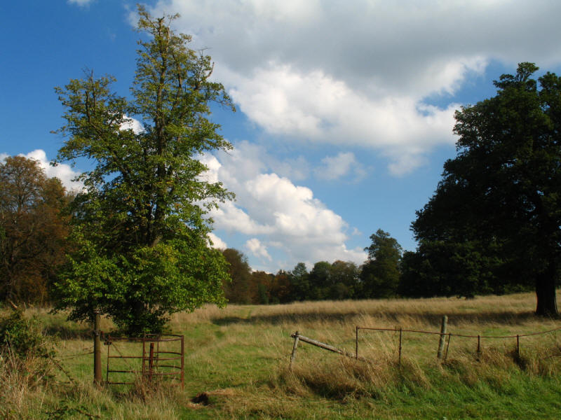
We make our way across fields liberally sprinkled with signs saying "all dogs
must be kept on a lead", which we treated with the contempt they deserved - the
requirement for a dog on a public highway (such as this public footpath) is for
it to be under close control, not on a lead. And with Ellie, the difficulty is
often getting her far enough away from your feet that you can see her - whenever
she has "disappeared", it is because she is trailing at my heels.
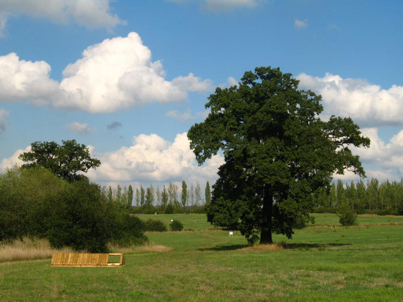
We then cross our second golf course of the walk, Elstree Golf Course, where the
route was clearly signed but bore little resemblance to the instructions in the
guidebook.
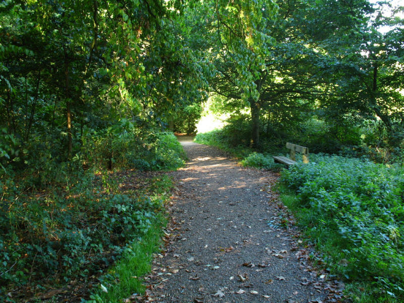
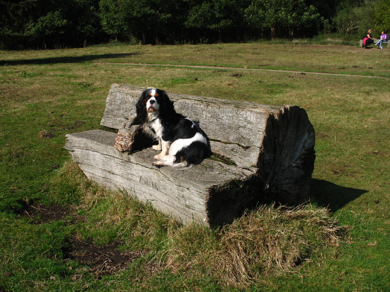
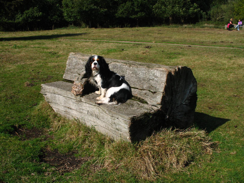
After a walk through trees, with a final rest on this bench, we reached Allum Lane again, and short walk along the
road brought us to the end of Section 15.
Today's walk was more interesting than last time - particularly Harrow Weald
Common, its history, and the views from the edge. The woodland on this walk was
among the most pleasant on the LOOP so far. Aldenham Reservoir was lovely too as
was Aldenham Park; but the two roadside walks were not pleasant, particularly
along the A411 Elstree Road. Only about 32km to go to reach Enfield Lock -
unless plans change, only two more walks remain.
London Loop Section 15 Hatch End to Elstree: 14.7km, 4 hours 20 minutes
(including 70 minutes stopped), 233 metres of ascent.


|