New River - Stamford Hill to Islington
25 November 2007
Today Stephen and Henry set off to conclude their walk along the New River, picking up where the route was left off at the
end of their walk to Stamford Hill.
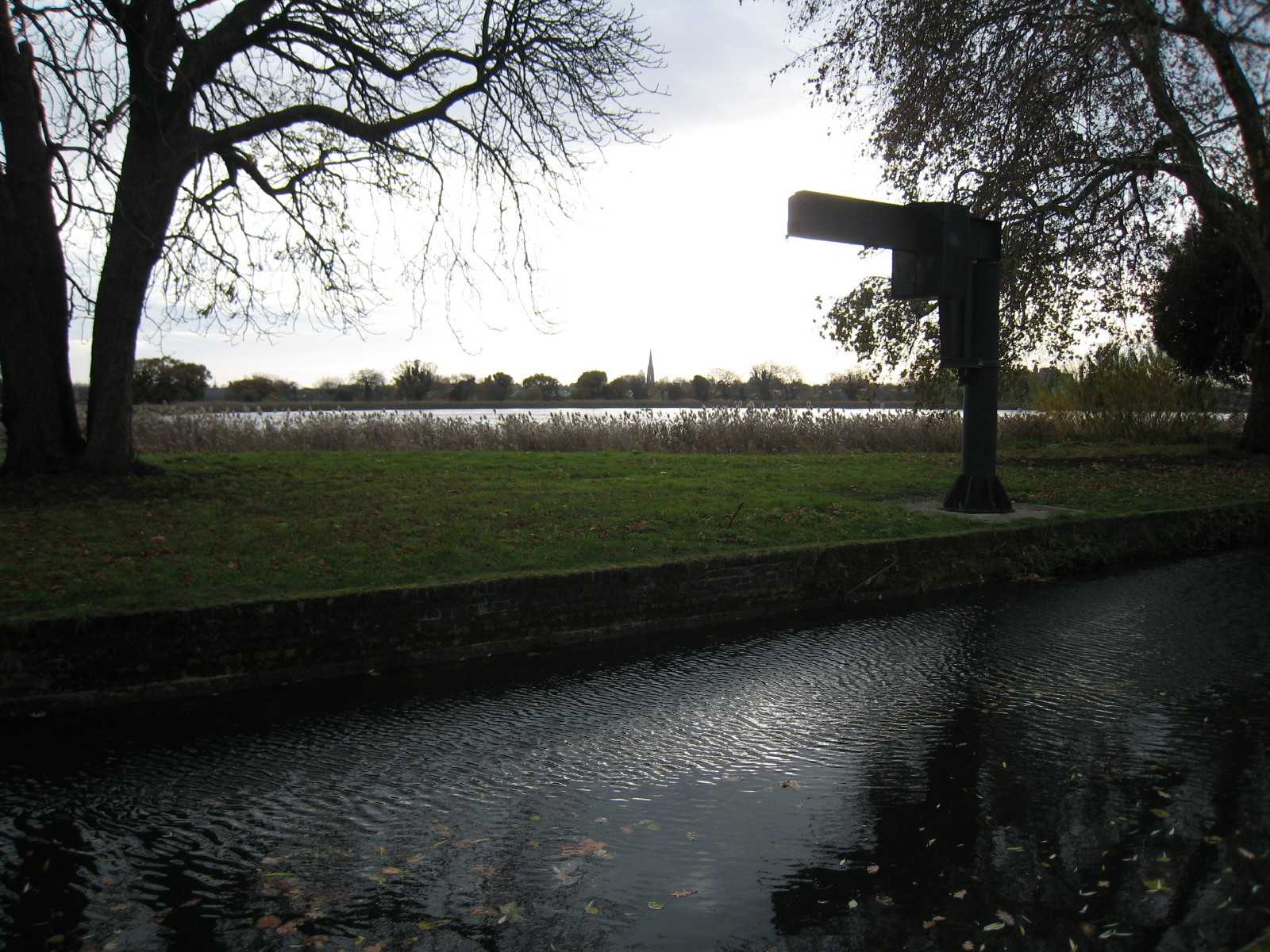
Our first notable point is this structure built over the New River, presumably a
gauging station for the flow going into the reservoir visible in the distance on
the left.

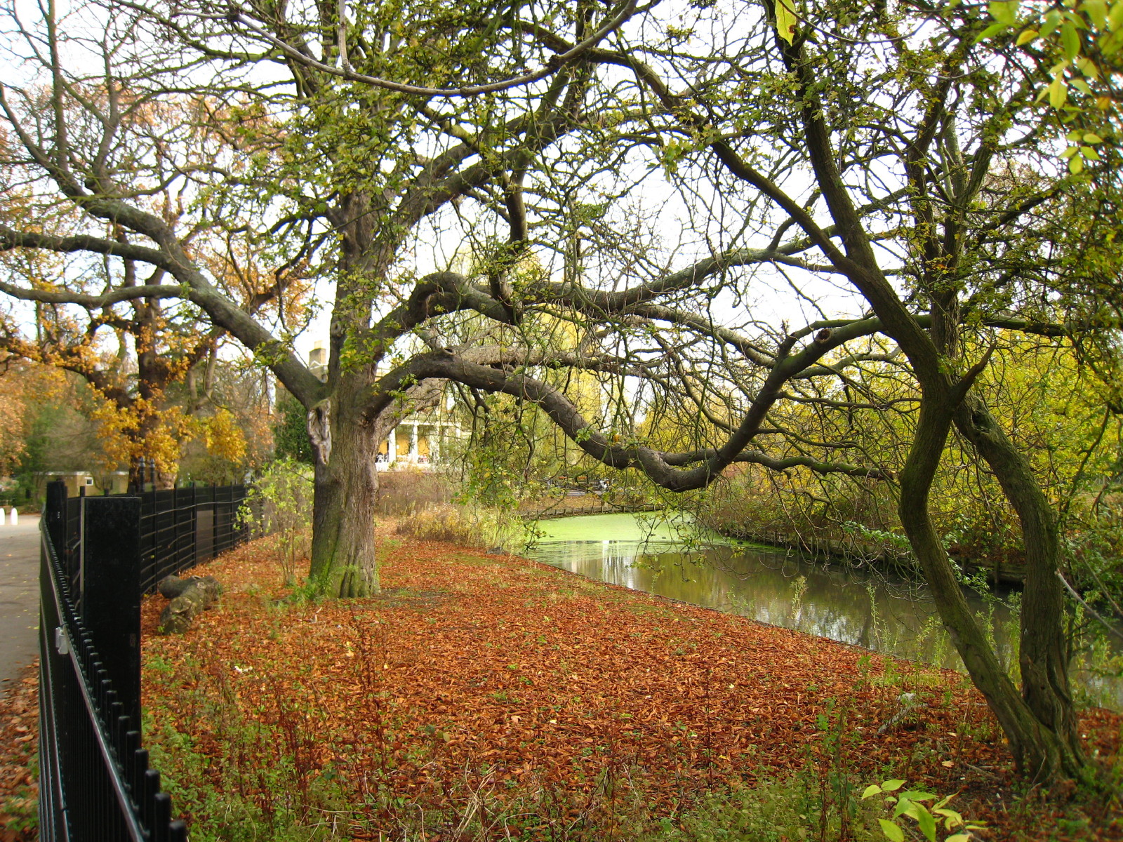
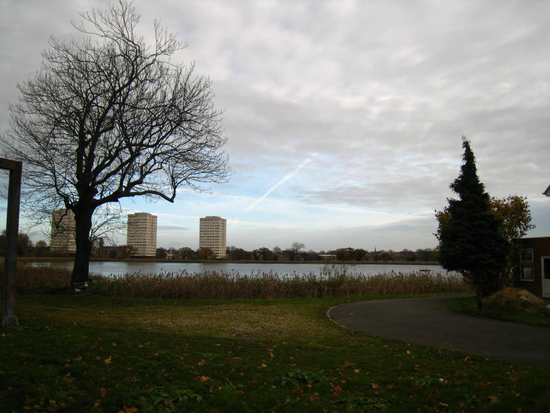
This is Stoke Newington East reservoir, one of the two reservoirs built here in
the 1830s to meet rising demand for water. Water flows into the reservoir from
the New River, from where it is pumped to Walthamstow for treatment.
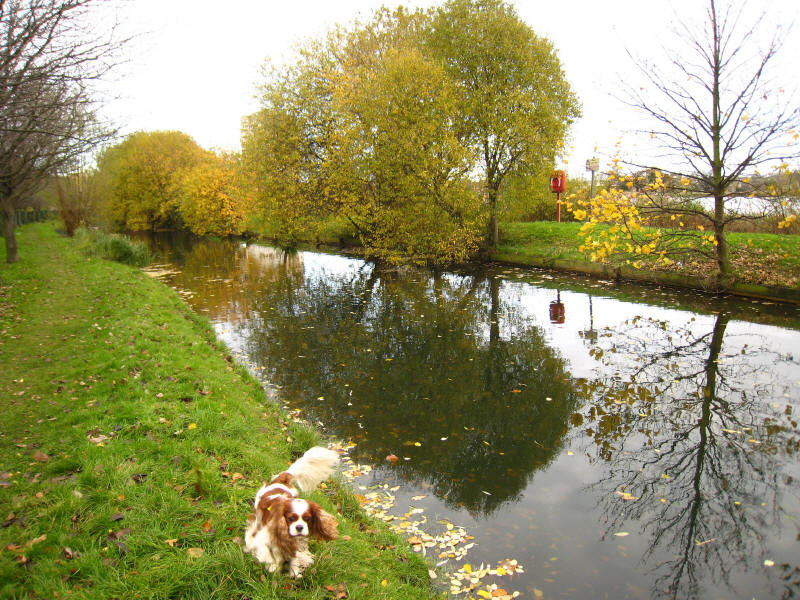
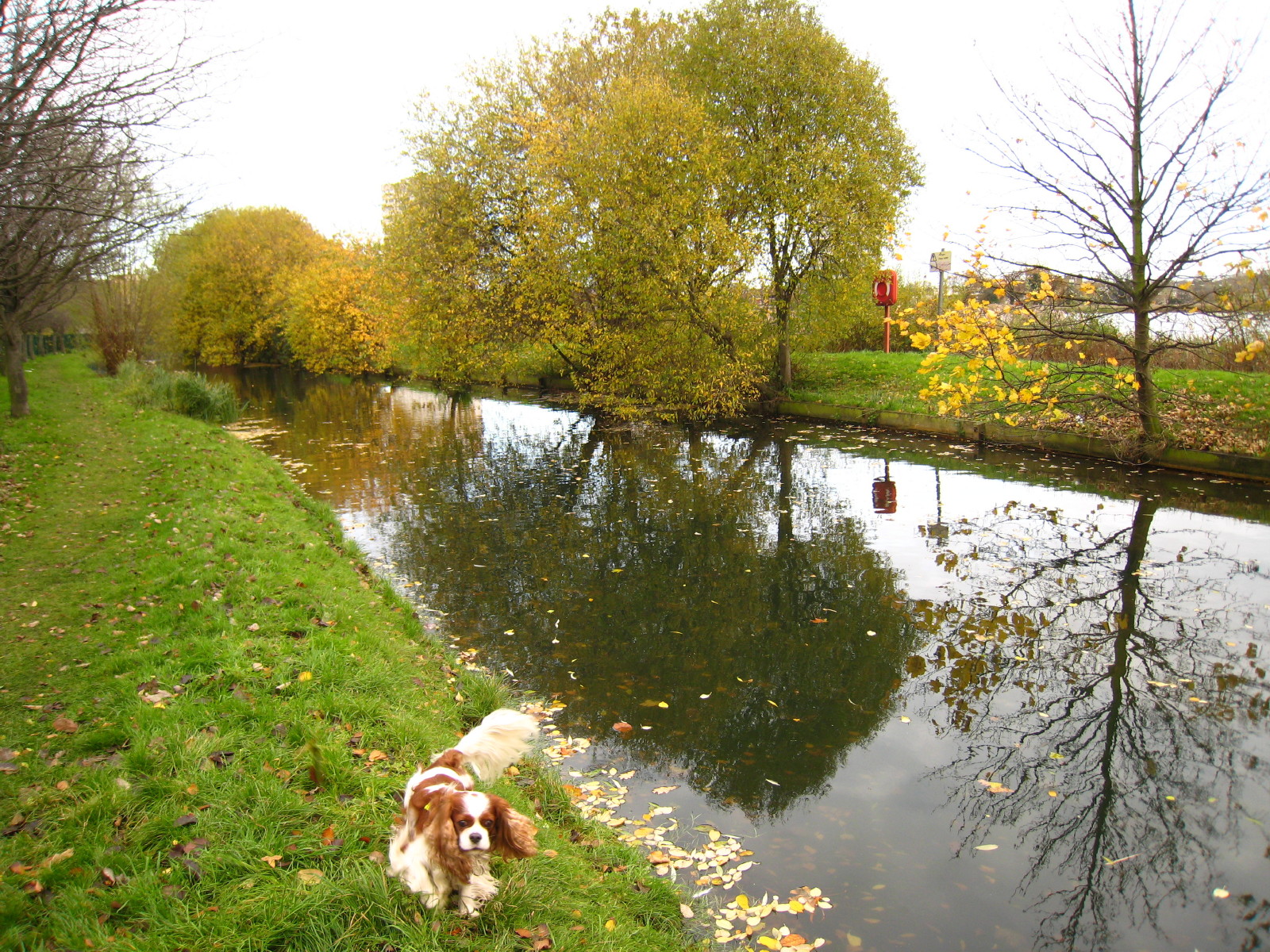
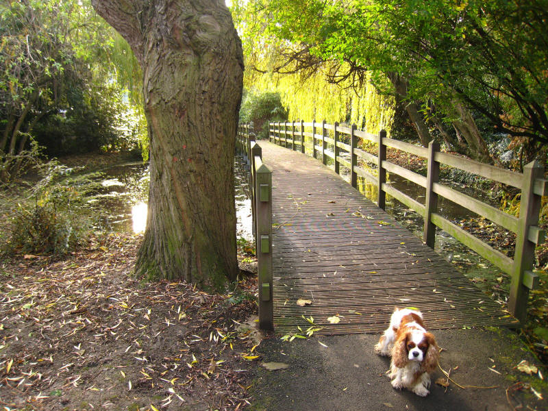
Henry by the New River, with some trees still holding onto a few leaves
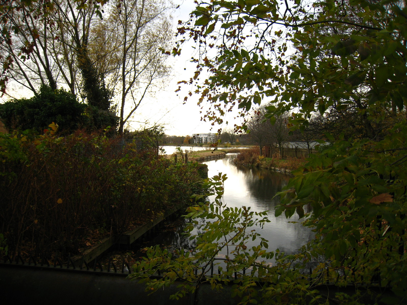
A look back at the East reservoir

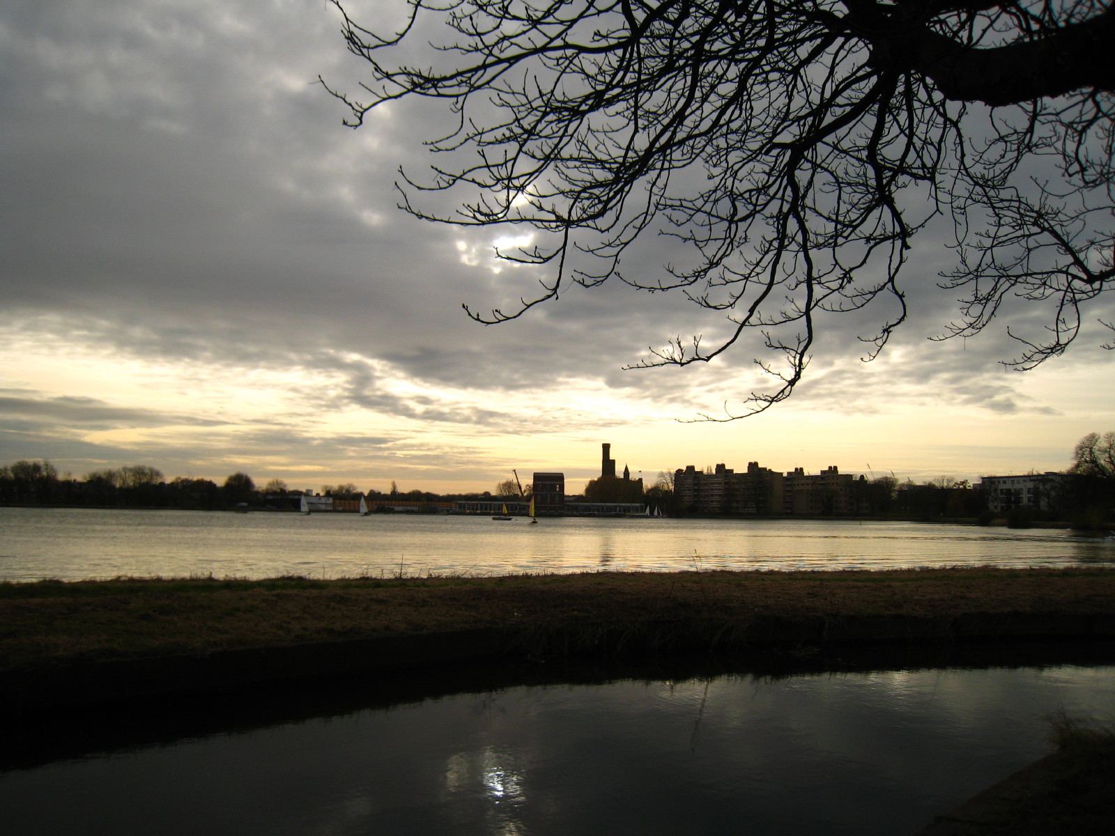
The New River flowing past the West reservoir.
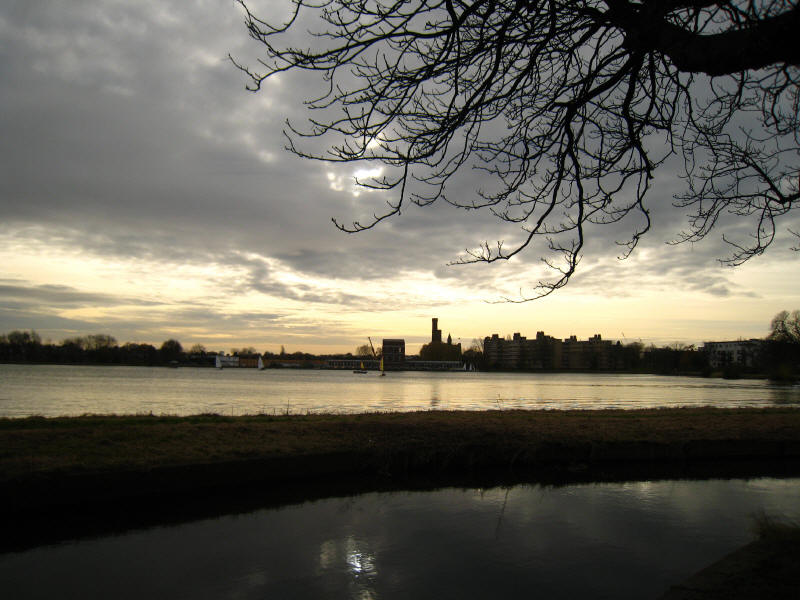
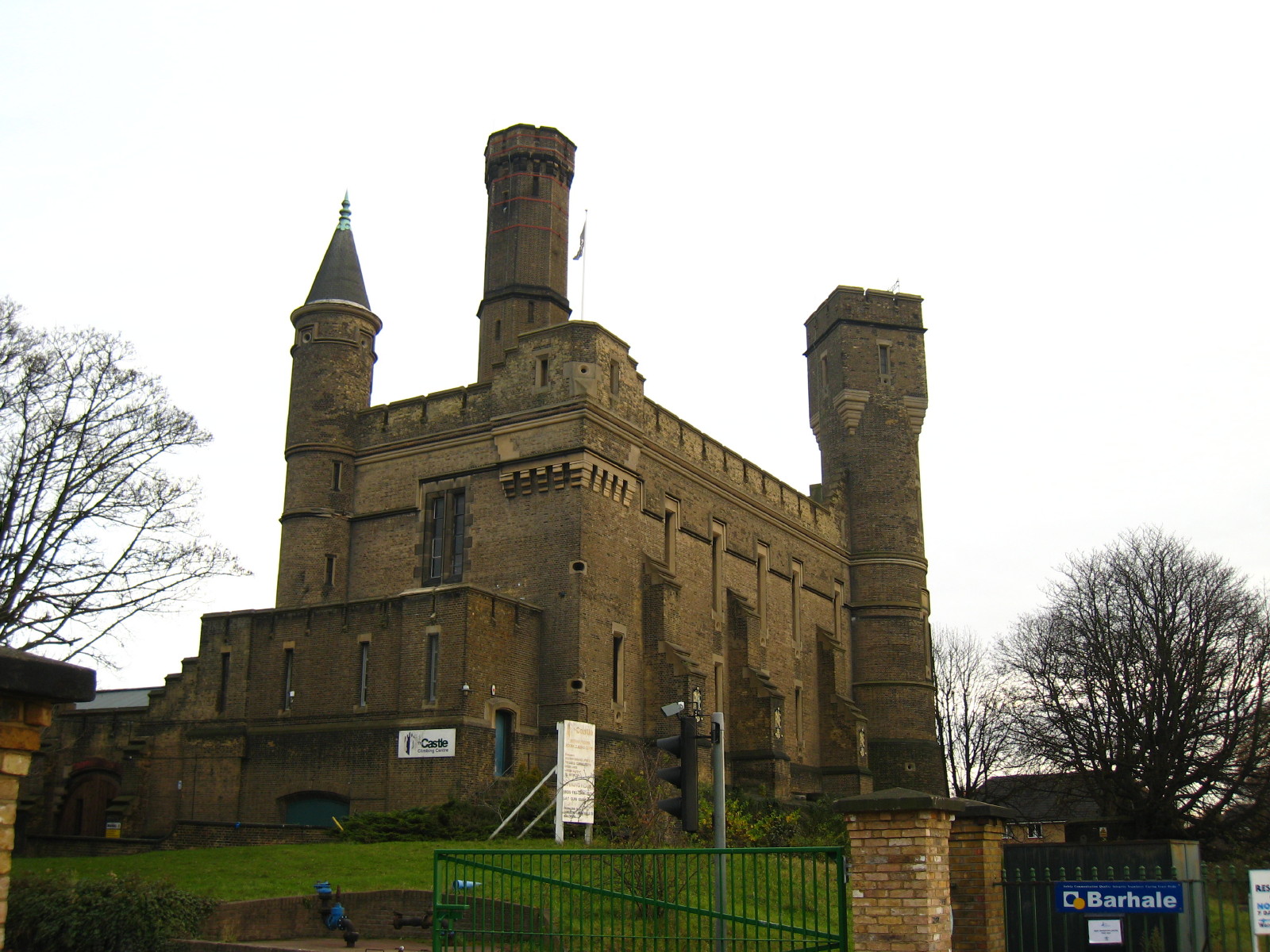
The West reservoir, no longer used as a reservoir but now serving as a boating
facility. The towers of the Castle Pumping Station can be seen mid-picture.

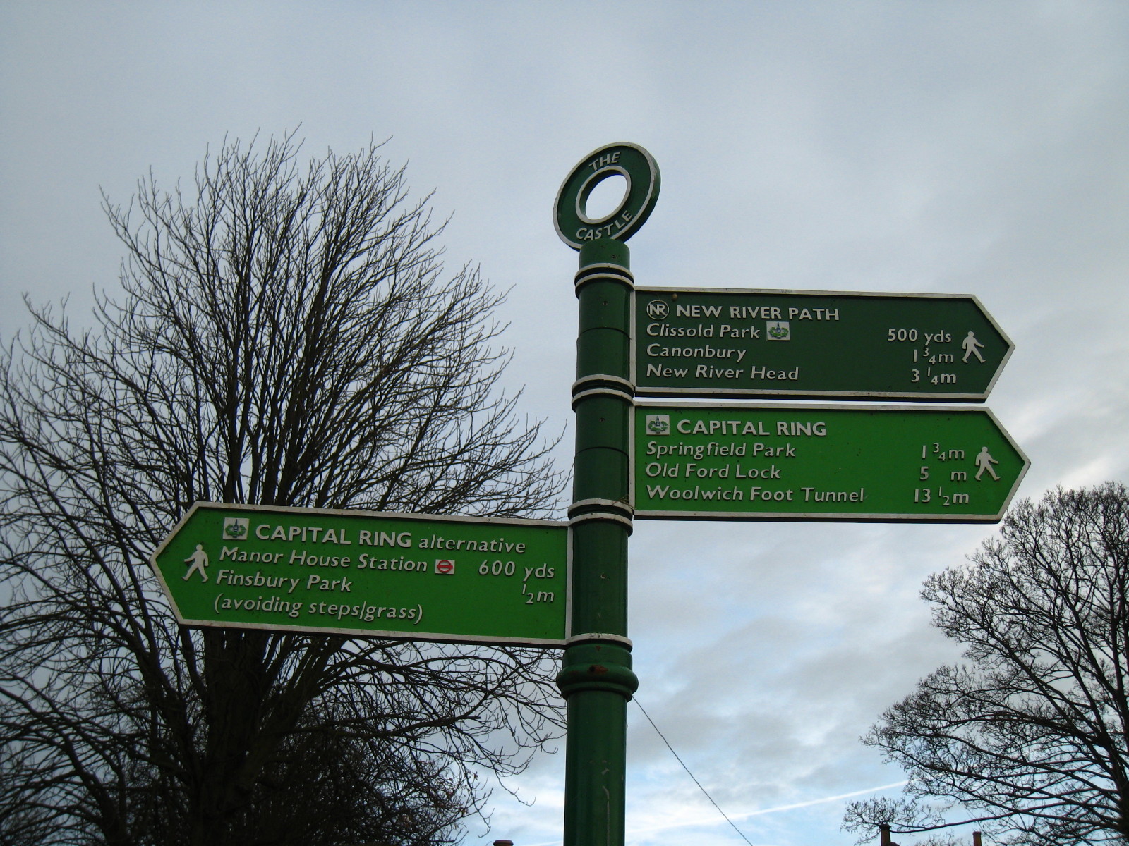
The signpost by The Castle confirms that we are continuing to share the route
with the Capital Ring for a
little while longer.

The Castle Pumping Station, built in 1855, is now an indoor climbing centre.

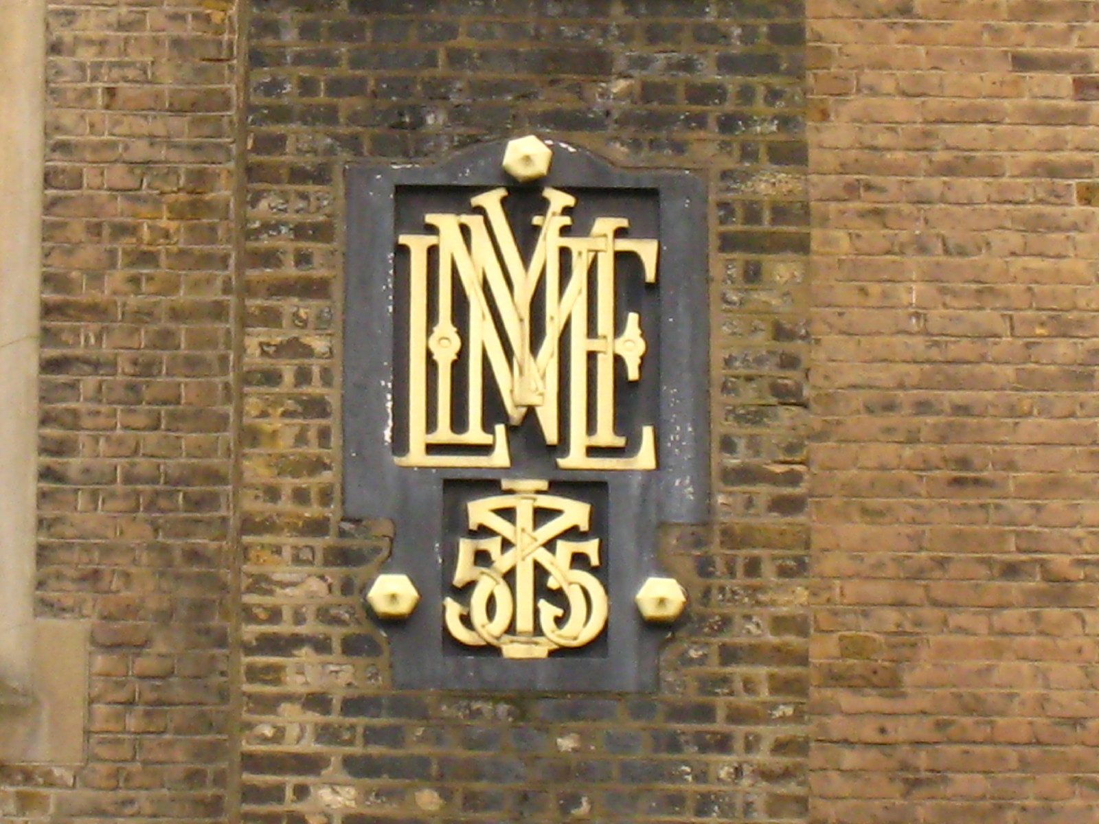
The interlinked letters spell "Mylne" after the designer William Chadwell Mylne
FRS, who was engineer to the New River Company, and below is the date of 1855.

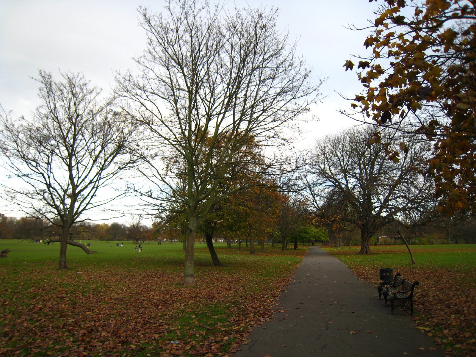
After a walk along Green Lanes, we reach Clissold Park, which opened in 1889 in
the grounds of Clissold House and Newington Common. Until the straightening of
the New River in the 1860s, it ran through the park. Here we are walking along
its course: though it is not obvious from the photo, to the left of the trees is
a steep drop of a couple of metres or so as the River was obviously on a small
embankment here.

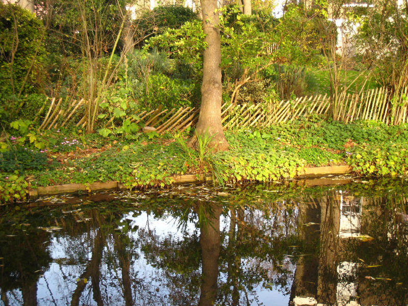
A bit further on, we find part of the New River's course still in water, though
closed from access by a high fence.
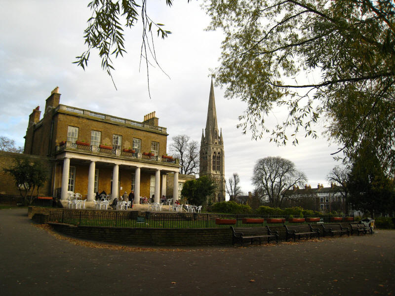
Clissold Mansion, a Grade II listed building, built in the 1790s for Jonathan
Hoare, a local Quaker, and now serving as a café. To its right is the tower of
St Mary's church, Stoke Newington

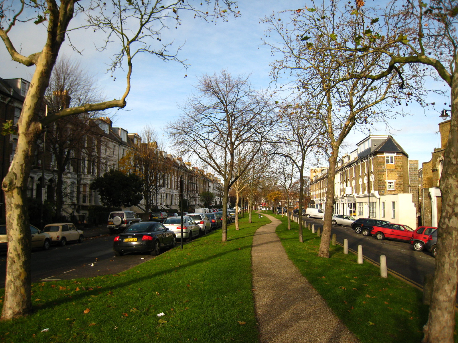
After briefly returning to Green Lanes, we walk along Petherton Road: originally
the New River flowed openly through the middle of the road, but during the 1860s
the watercourse was culverted and later developed as a central green space.
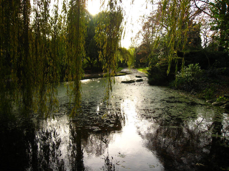
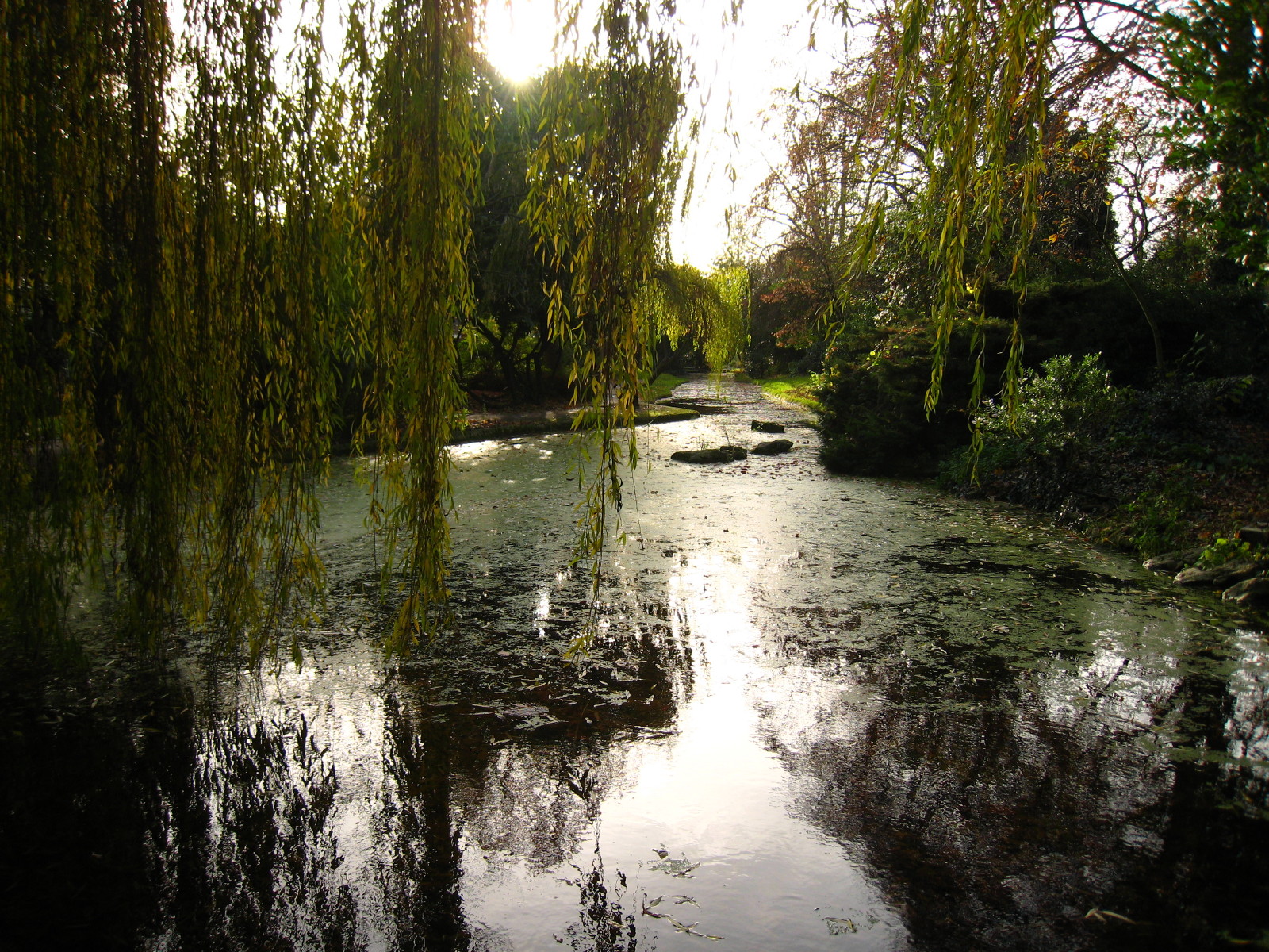
After passing Canonbury station, we continue along New River Walk. This section
of the New River was "restored" with the aid of a Heritage Lottery Fund grant in
1996-98, but in fact while attractive is an almost wholly modern creation along
the route of the New River.

A lot of work has gone into landscaping this linear garden and its watercourse,
but it isn't really the New River!
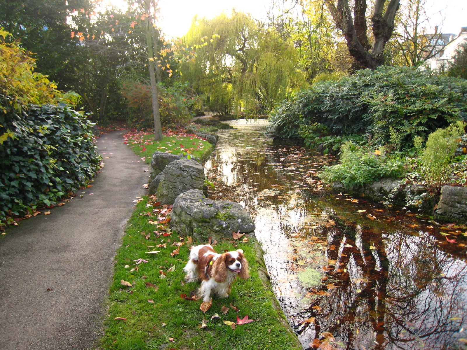
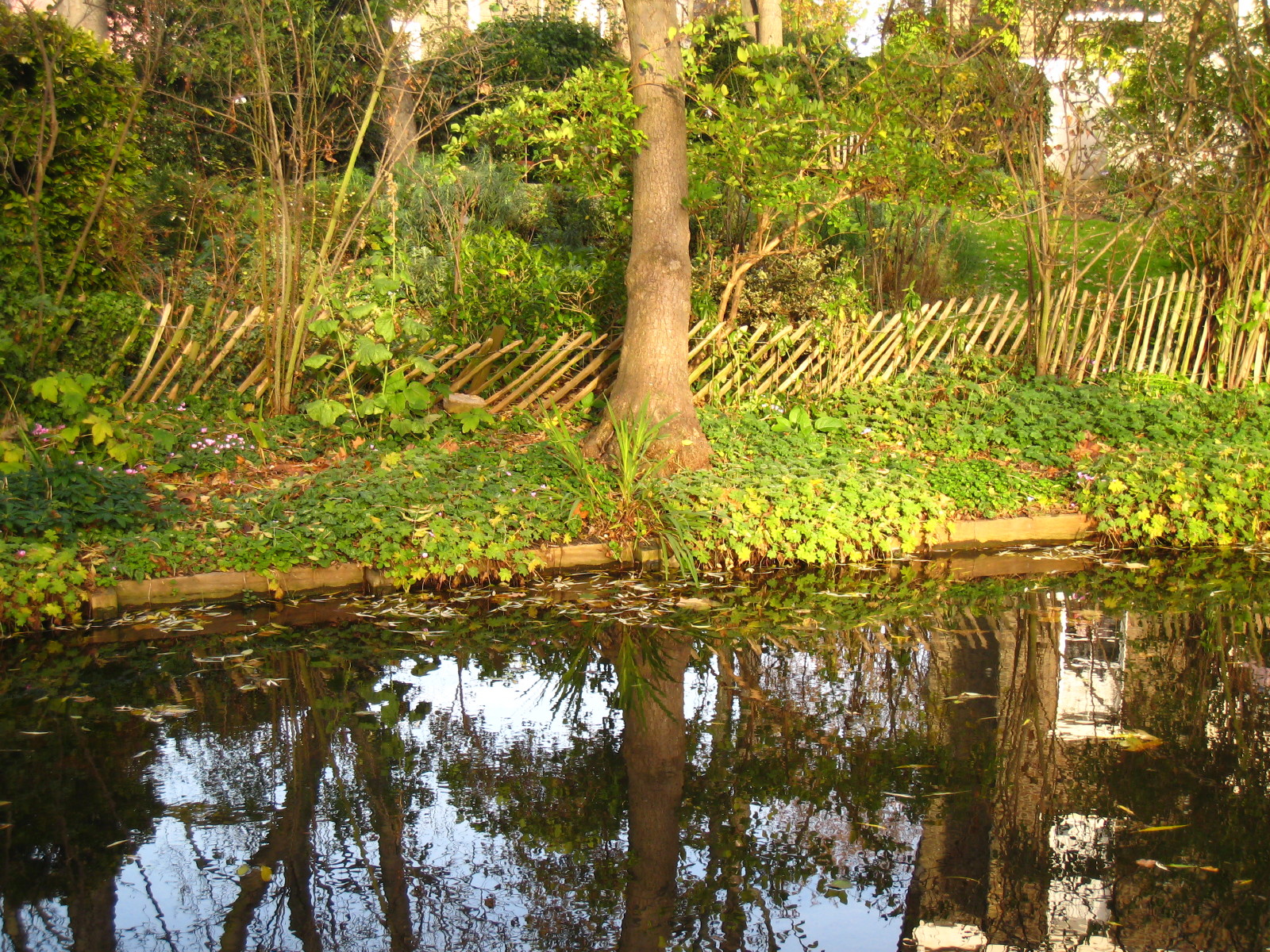
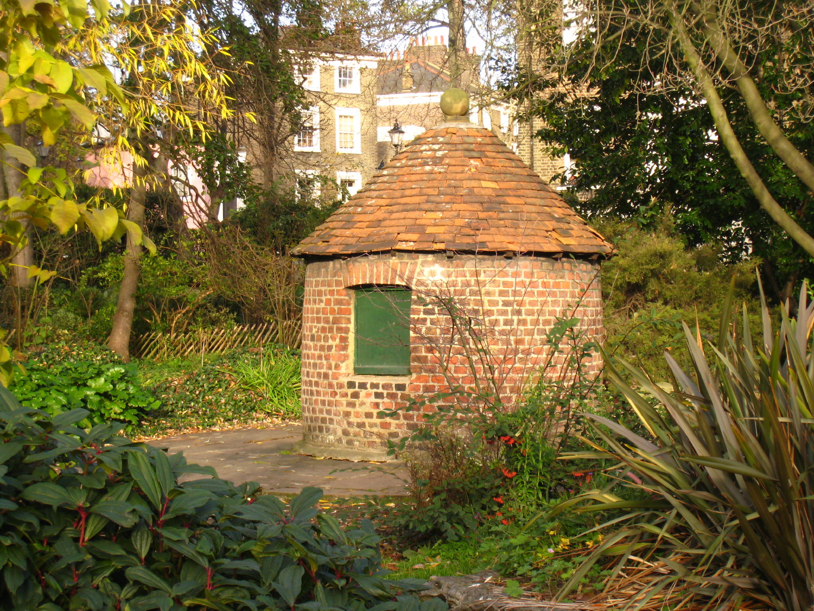
This small section is all that remains of the original channel in the Islington
area - its wooden revetments have been restored

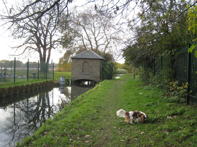
The building is a watch hut, believed to have been built in the late 18th
century and used by the linesman in charge of this section of the River.
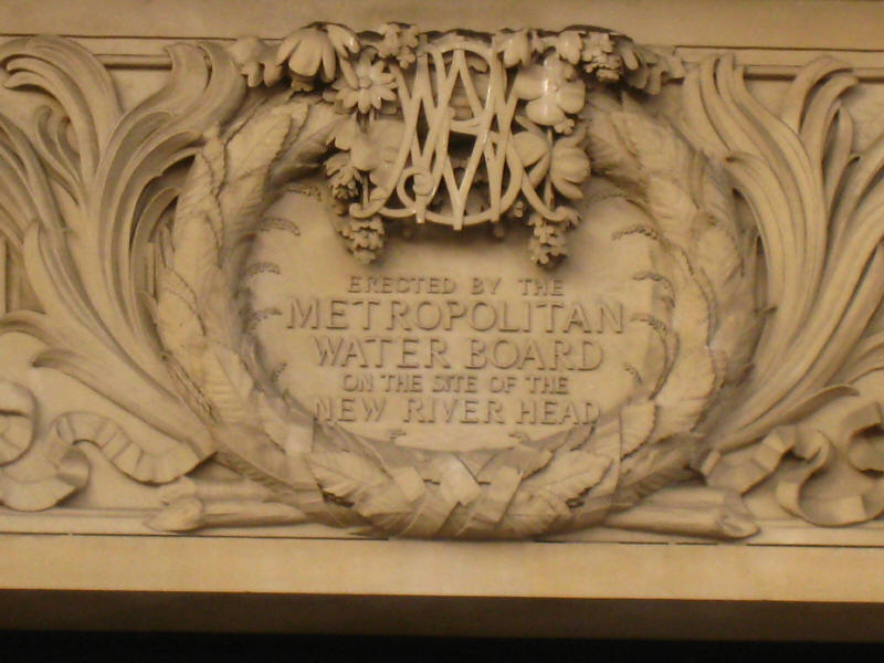
After a walk along Essex Road, Upper Street and past Saddlers Wells theatre, we
reach New River Head. This area was the terminus of the New River when built.
Two reservoirs (the Inner and Outer Ponds) were located here and from them 400
miles of elm (later iron) pipes carried the clean Hertfordshire water to
customers. In 1946 the water supply to New River Head was ended and Stoke
Newington reservoirs became the terminus. This 1938 building is the Laboratory
Building, used for testing water quality.
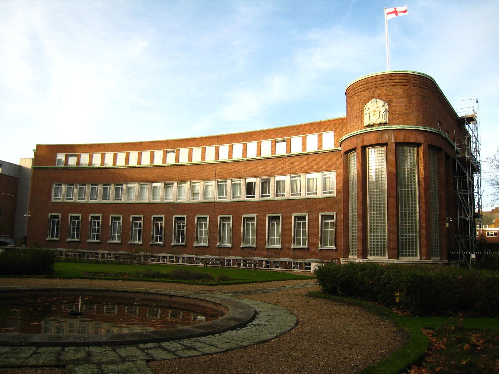
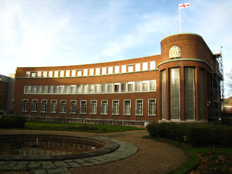
New River Head Building, built in 1919 on part of the former reservoir. Until
1993 it was the offices of Thames Water.
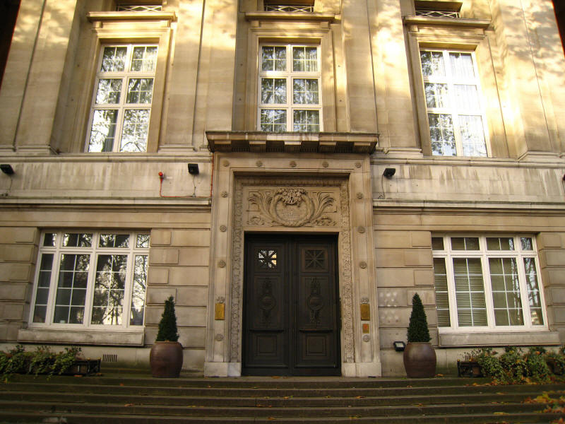
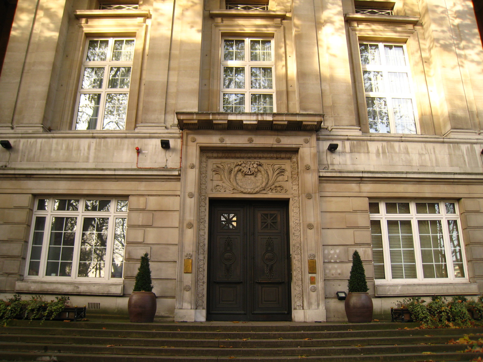
The entrance to New River Head Building
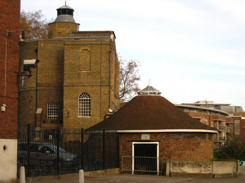
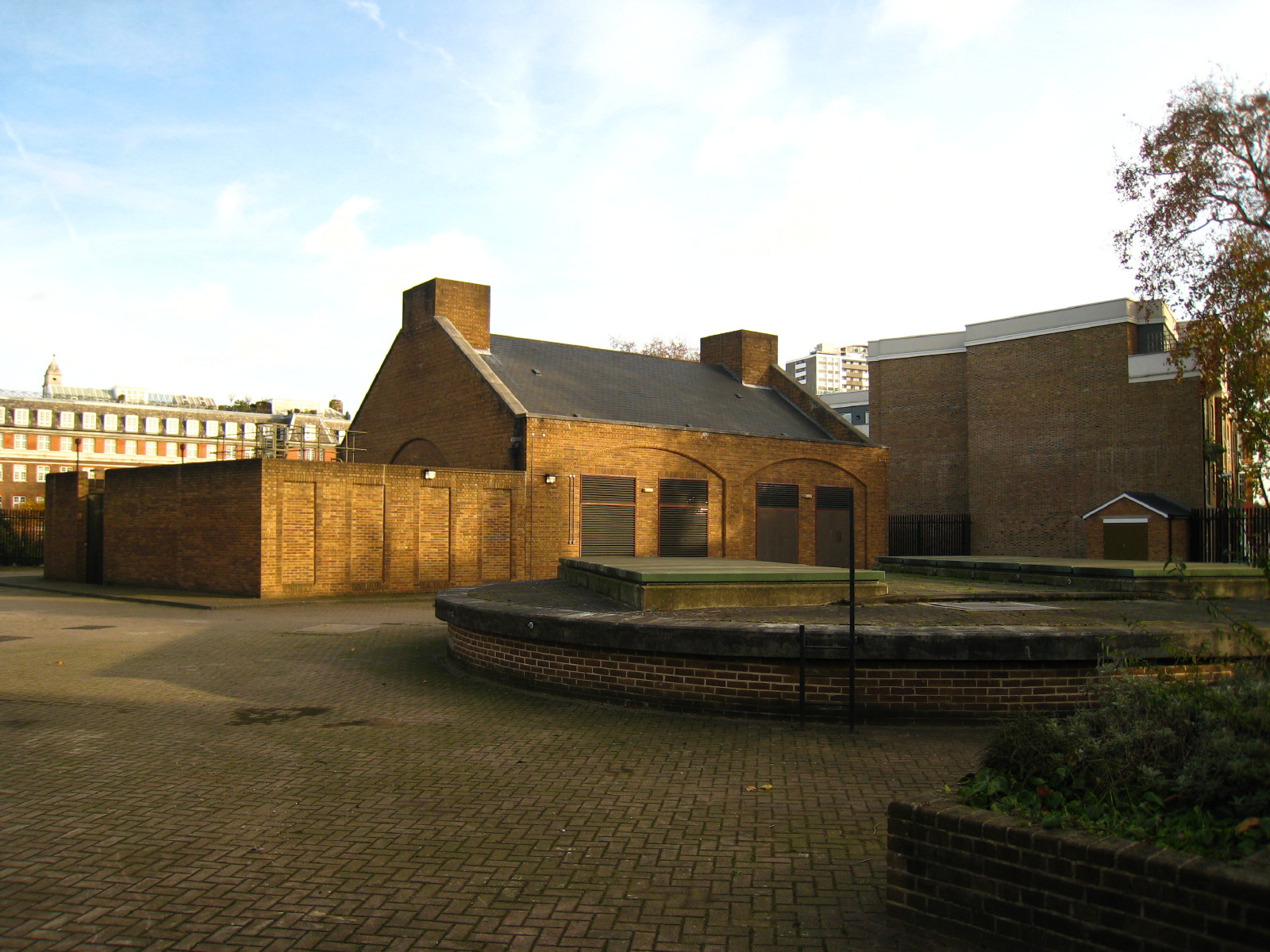
The base of a windmill constructed in 1708 to pump water from the New River into
the elevated reservoir to create water pressure for onward supply to customers.

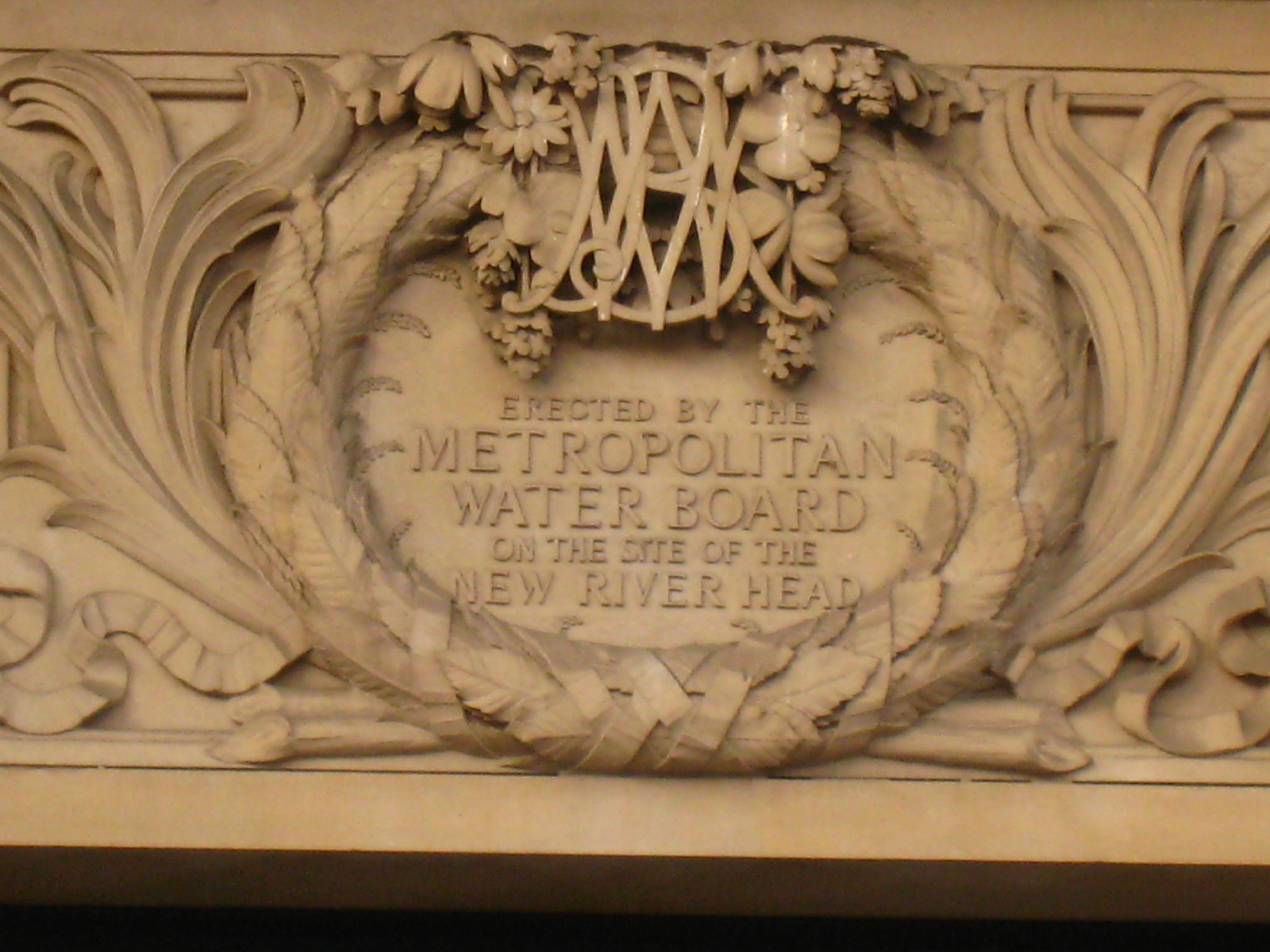
The association of New River Head with the supply of London's water continues,
however. The compound houses the pumps which raise water from the Thames Water
Ring Main tunnel as part of London's water distribution network. Nearby is also
a borehole from which water is pumped to Stoke Newington as part of efforts to
counter rising groundwater beneath London.
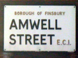 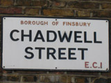 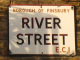 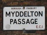 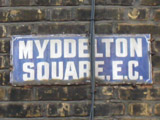
Street names hereabouts recalling Amwell and Chadwell springs, two of the
sources of the New River; and Sir Hugh Myddelton, the driving force behind
construction of the New River. (Interestingly, the Borough of Finsbury ceased to
exist in 1965, and the fifth sign appears to predate the numbered subdivision of
postal districts and thus is pre-1917, so not much renewal of signs has taken place around here.)
And so ends an interesting journey from country to city and along four centuries
of industrial archaeology.
Total 9.0km (including link to station) - 7.2km of the
New River Path; 74 metres
of ascent, in 2 hours 5 mins.
|