Norfolk Coast Path 1: Hunstanton to Brancaster
19 February 2012
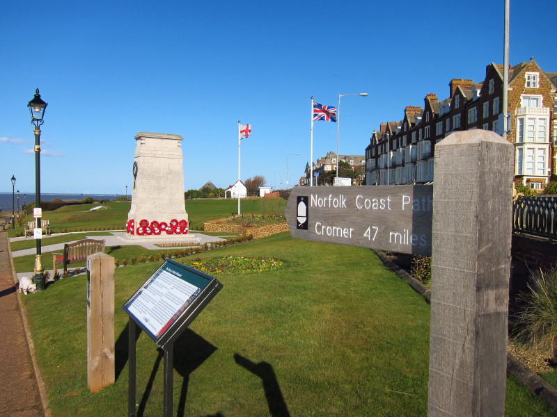
The start of the Norfolk Coast Path by the war memorial in Hunstanton
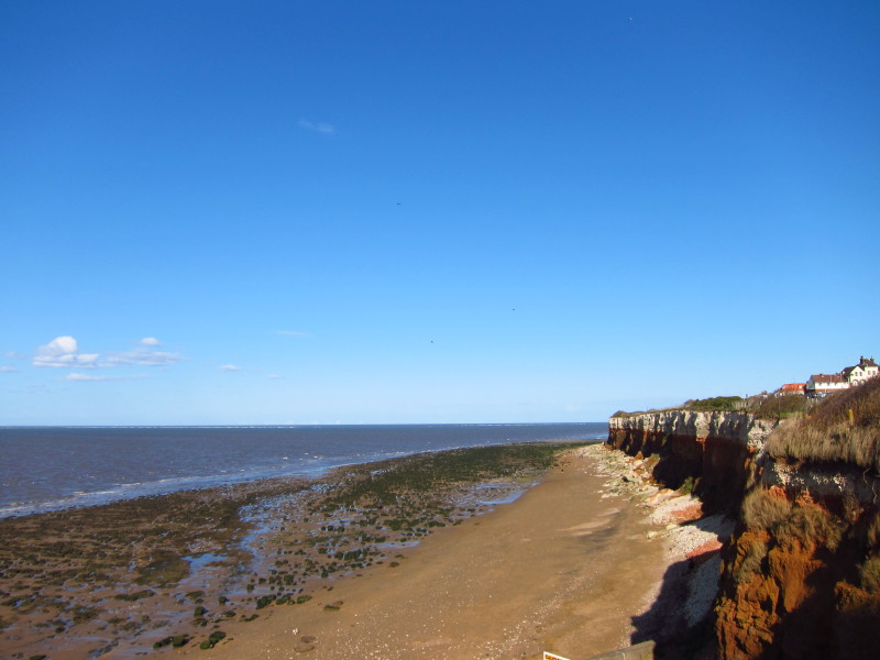
A short walk through the gardens brings us to this viewpoint where there
is the opportunity to look at the crumbling multi-coloured cliffs of
Hunstanton
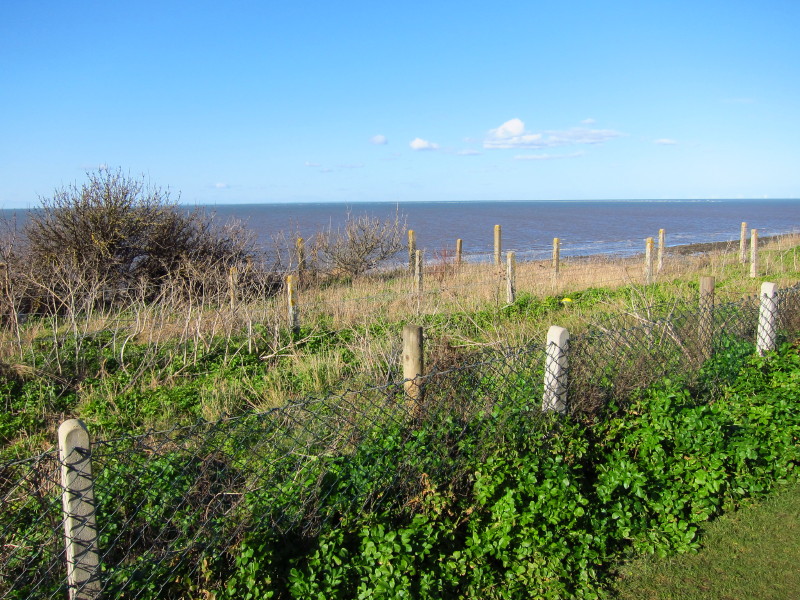
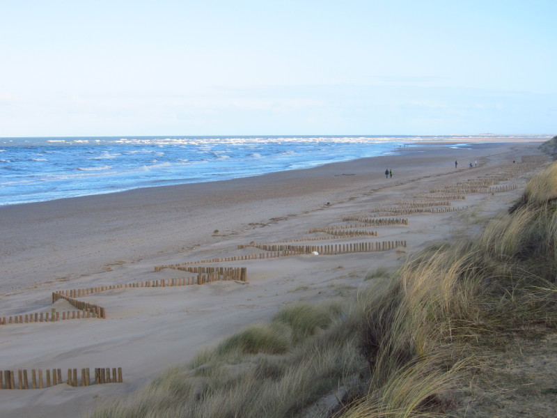
Continuing along the broad grassy strip that separates the edge of the
cliffs from the road, the rows of fences tell the story of the gradual
retreat from the cliff edge
King Edmund of East Anglia (later St Edmund) landed here in 855 after
crossing from Germany where he learnt the news that he had inherited the
throne - he was a member of the Saxon Wuffing dynasty ruling over East
Anglia, "wuffa" being the word for "wolf". When he was later beheaded by
the Vikings, his head was eventually found in a thicket being guarded by
a wolf. He was buried at what is now Bury St Edmunds.
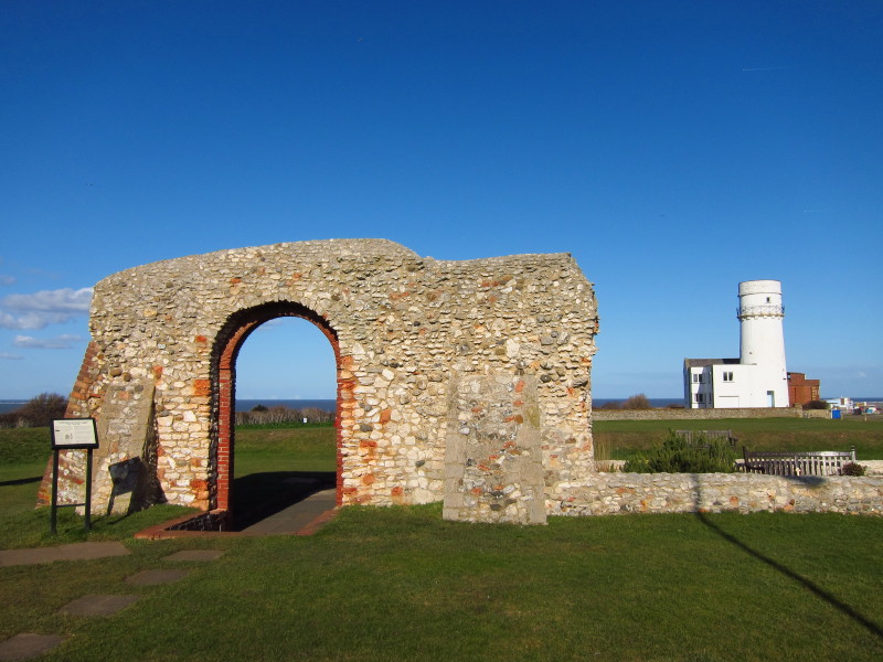
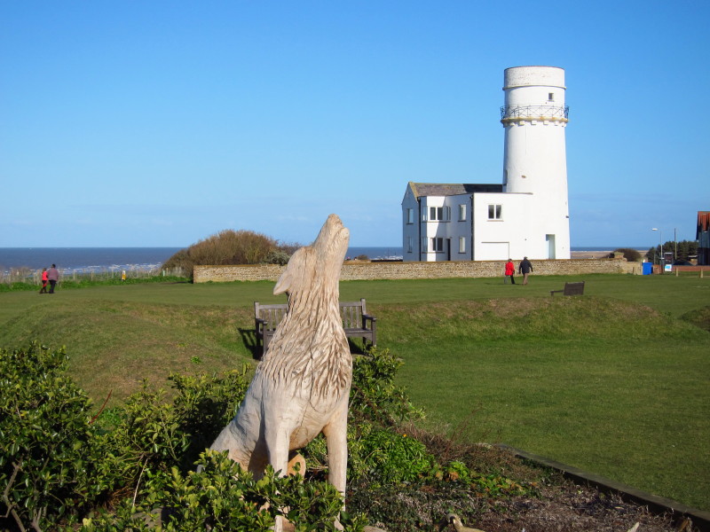
This chapel was built in 1272 to commemorate St Edmund. In the
background is Old Hunstanton Lighthouse (named after the settlement of
Old Hunstanton), built in 1840 and now available as a holiday let.
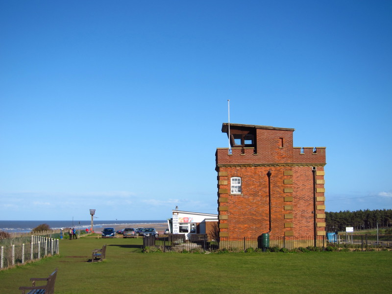
Hunstanton coastguard lookout, beyond it a car park, and then the start
of the more open section of the walk
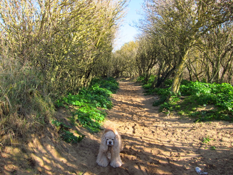
The first part of the "open" walk went briefly through this wooded area
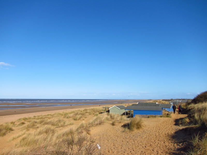
...before opening out properly onto the dunes, lined with beach-houses.
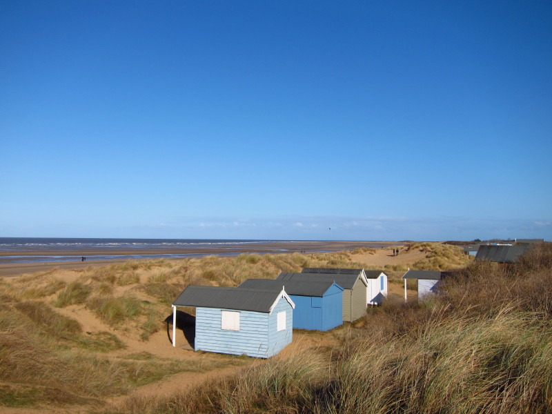
Some of the huts have very restricted views - whether the dunes have
grown since the huts were built, or whether the huts were put there to
be sheltered from the wind, I don't know. Certainly the wind was blowing
quite strongly today, and with the temperature at around 4° it felt
quite nippy.
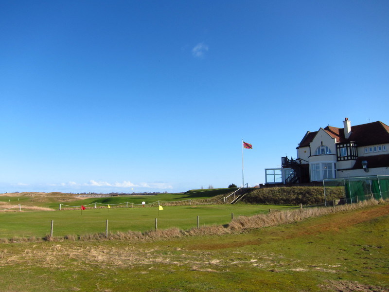
Hunstanton Golf Club - the only golf club on the east coast where the
sun sets over the sea.
After briefly walking alongside the golf links, the route, marked by
these white-topped posts, climbed onto the top of the dunes giving an
expansive view across the beach - a great spot to stop for lunch.
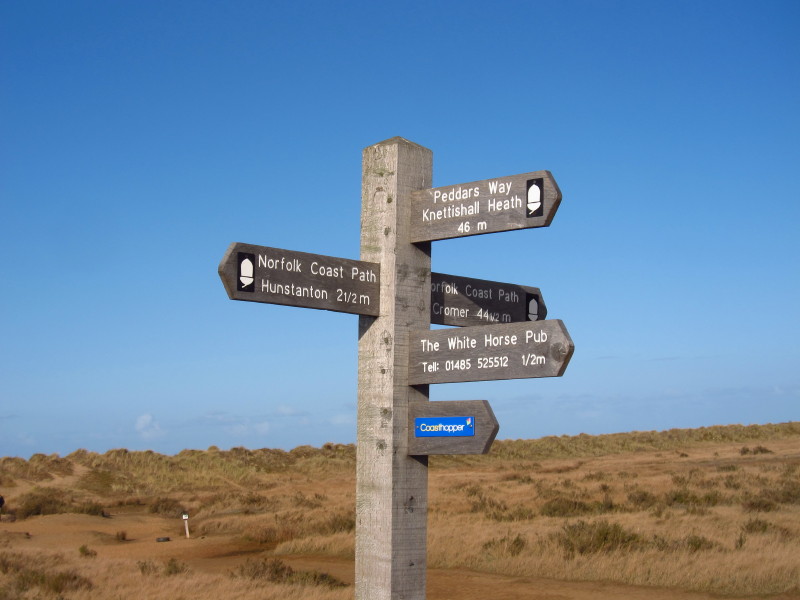
And then I rounded the corner and found myself briefly on familiar
ground as we'd reached the northern end of the Peddars Way which we
reached last year at
the end of our walk from Knettishall Heath
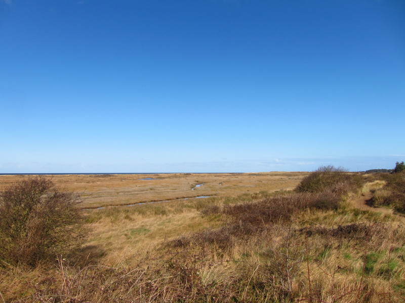
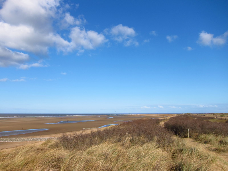
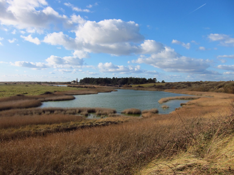
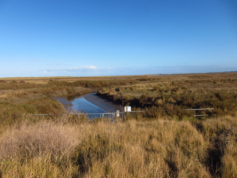
The sea is just visible over the tops of the dunes, with a marshy area
to the landward side.
I think this is the old outlet of the River Hun, now diverted further
eastwards as part of land drainage works
Much of the section from here to Thornham is a mature board-walk, and
lovely to stride out on after the somewhat hard-going of the sand of the
dunes.
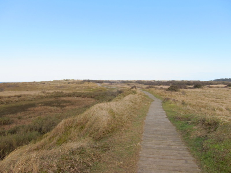
Board walk stretching into the distance.
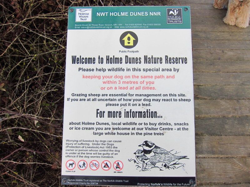
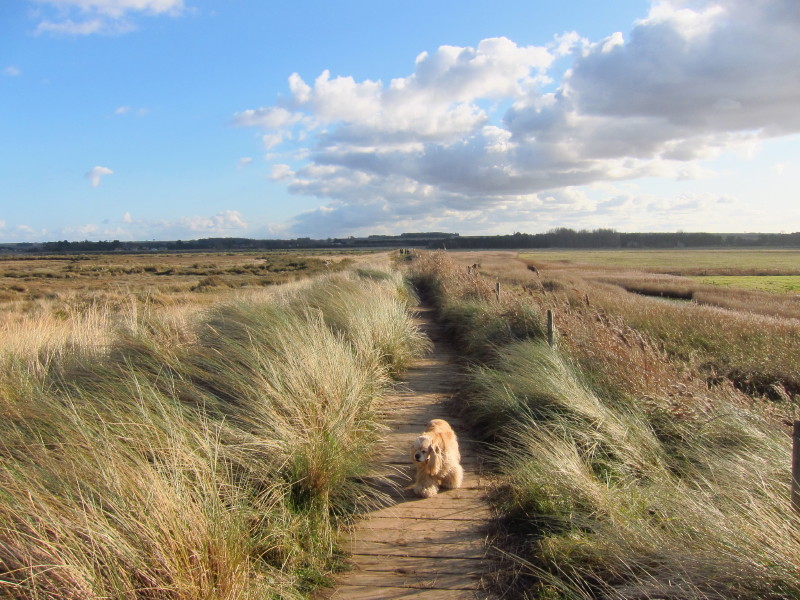
We're currently in one of several National Nature Reserves this path
passes, and I have to congratulate the Norfolk Wildlife Trust on getting
this sign just right regarding dogs - balancing appropriate freedom with
responsibilities and restrictions, avoiding unreasonable injunctions and
offering clear and firm advice.
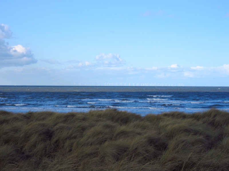
Out to sea a wind farm in the shallow seas of the The Wash
The board walk in places gave way to this alternative firm surface - not
quite as good to walk on and possibly less satisfactory after rain (but
maybe not), but still an excellent surface and perhaps blending in with
the landscape slightly better (though clearly far from natural) - I
wonder what the life-expectancy of this surface is compared to the board
walk.
More landscape management in the form of these wooden stakes - whether
with the hope of eventually forming new dunes or simply to protect the
existing ones, I'm not sure.
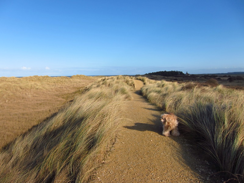
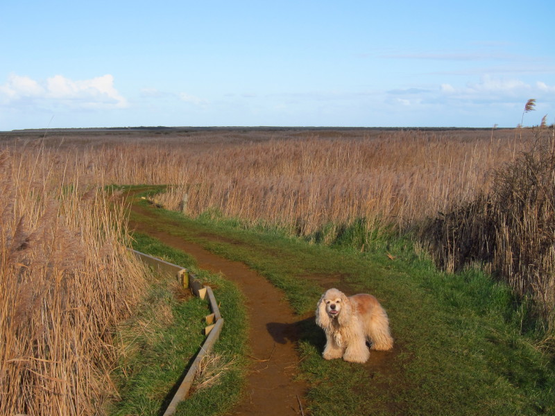
Another bird-life reserve, and another that welcomes dogs on leads.
There were certainly lots of people with dogs on the coast path today,
enjoying the glorious weather.
More board walk as we turn inland along the embankment towards Thornham.
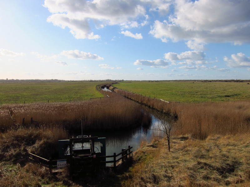
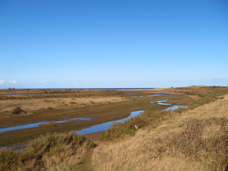
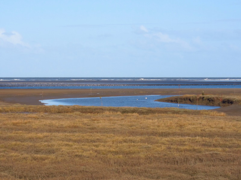
Looking to the right, the new course of the River Hun approaches the
embankment we're on, across the reclaimed marsh
...while in the opposite direction the water heads across remaining
marsh to the sea

The embankment makes an abrupt turn to the left
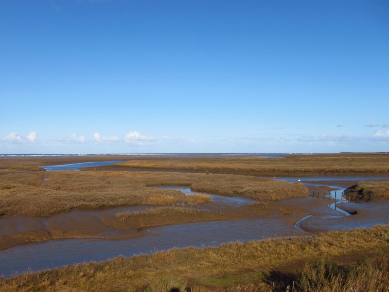
Looking out to sea, large numbers of birds are sitting on the sand, and
wooden posts mark the harbour channel into Thornham
It's hard to imagine this being a major port
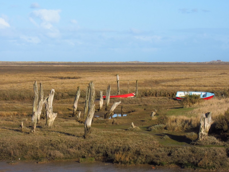
But its decay and obsolescence has a romantic charm
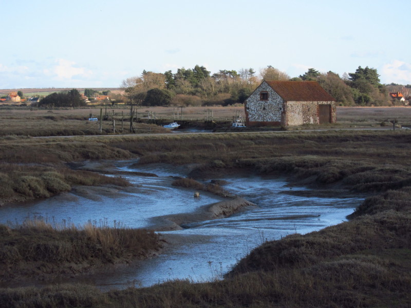
Approaching Thorham, the path turns east again past the remains of a
windmill to take this presumably ancient engineered path through the
marshes
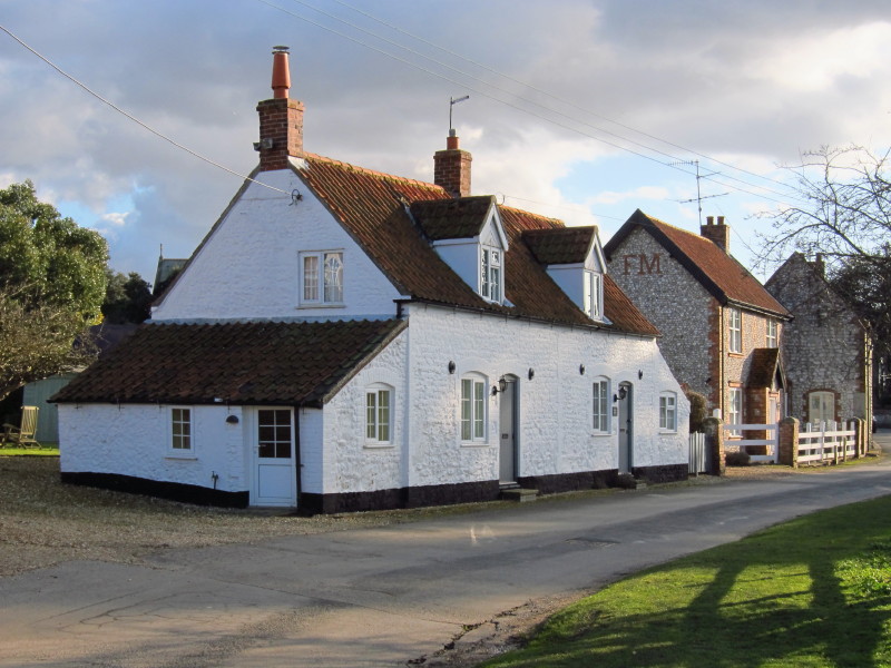
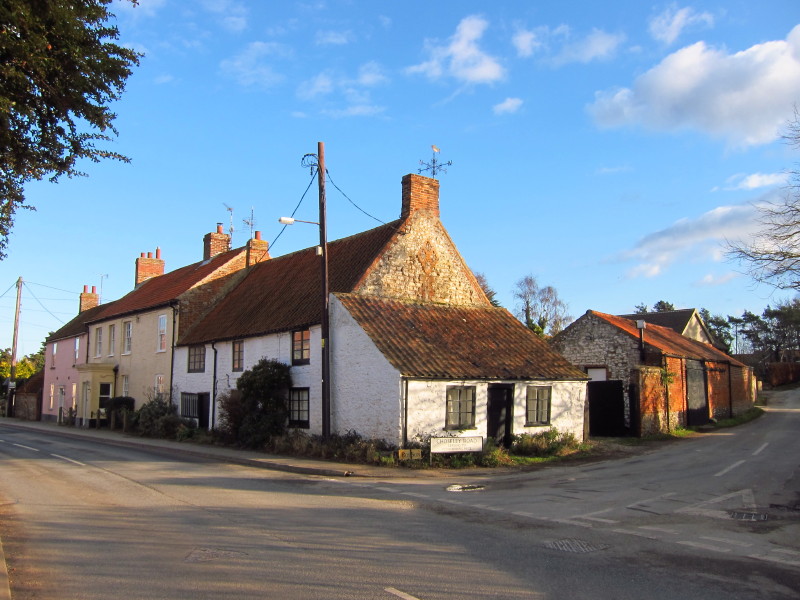
...eventually disgorging us into Thornham village.
After walking along the main road for a while, it is time to leave the
coast area as the Coast Path takes an inland diversion. It looks from
the map as though one could continue along the A149 for a kilometre or
so and then take a footpath out to the beach and, tide-permitting,
continue along the shore before rejoining the official Coast Path at
Brancaster. But the National Trails route heads inland here, following
the sign towards Ploughman's Piece
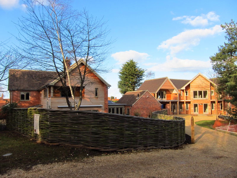
The house on the left, one of three new houses, is large and modern but
still manages to go by the name of Cedar Cottage. It won the Mayor's
Award for Design in the Environment 2010 - possibly the imposing fence
may have contributed.
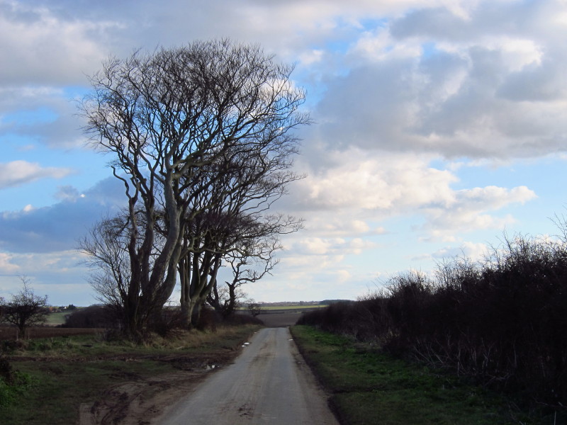
The road walk was rather underwhelming after the coastal walk - the road
was fairly quiet though what traffic there was moved rather quickly.
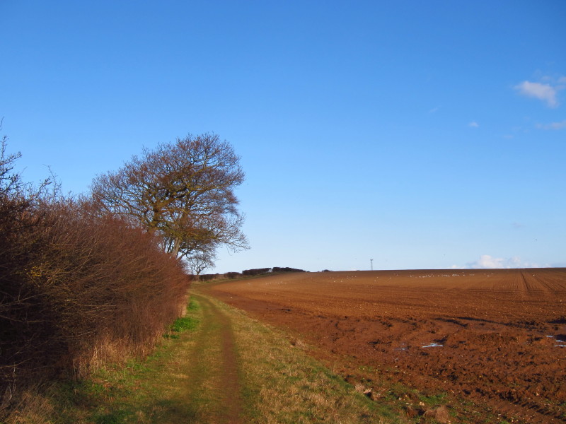
Eventually we turned left and walked along field margins, some distance
from the coast but paralleling it.
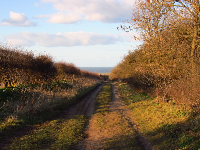
Eventually another left turn took us along Choseley Lane and back
towards the sea
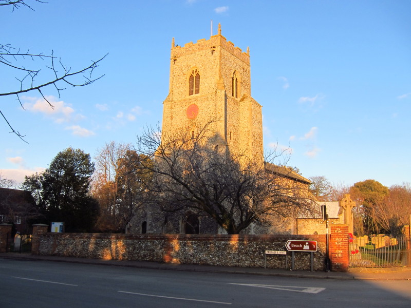
The church in Brancaster and though the signs point sea-wards, it is the
end of today's walk and time to return home.
Total walk was 15.9 km in 3 hours 50 mins
|