North Downs Way (Canterbury Loop):
near Aylesham to Dover
14 April 2013
With Lucy taking Ellie and Hetty to a rally trial
near Folkestone, Stephen, George and Lottie took advantage of a lift to return
to the North Downs Way, last visited in 2011. Stephen has already walked
the "main line" from
Farnham to Dover, and the plan for today was to complete the 52 kilometres of the
alternative route - the Canterbury loop.
The weather forecast was for warm and sunny, the best day of the year so
far, so it was something of a surprise to find it windy and wet, but
fortunately that lasted only about twenty minutes of the walk, and at
this point as we ascend gently from Leighgate Bottom I took off my new
coat as I was getting rather warm.
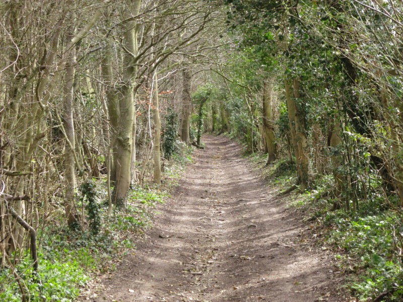
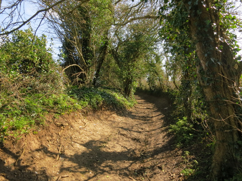
A pleasant section of the walk, classified as a bridleway and thus free
from damage caused by motor vehicles.
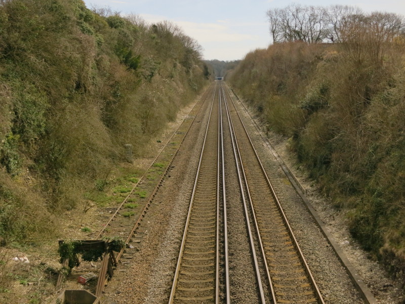
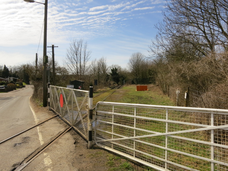
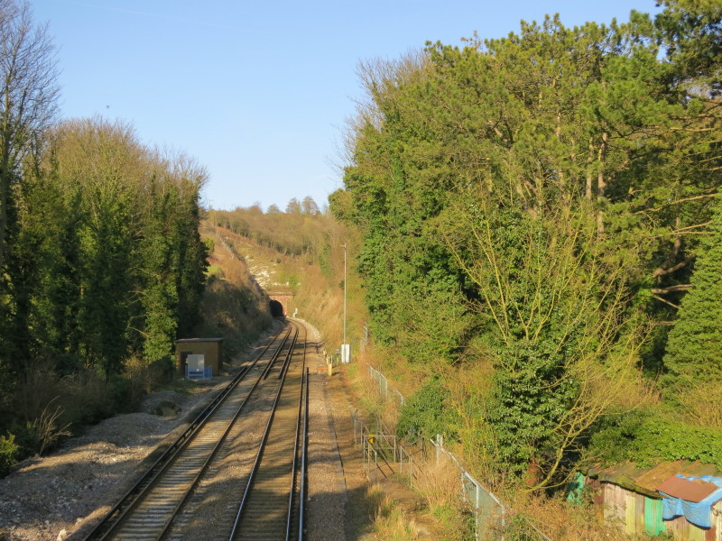
Crossing the railway from Canterbury to Dover, looking towards Lydden
Tunnel
Walking along Long Lane
The next railway is the East Kent Railway, a small heritage railway that
runs for about two miles. Although all looks pretty sleepy, I later
discovered that there were trains running today.
Heading across fields away from the indecisively named "Shepherdswell or
Sibertswold"
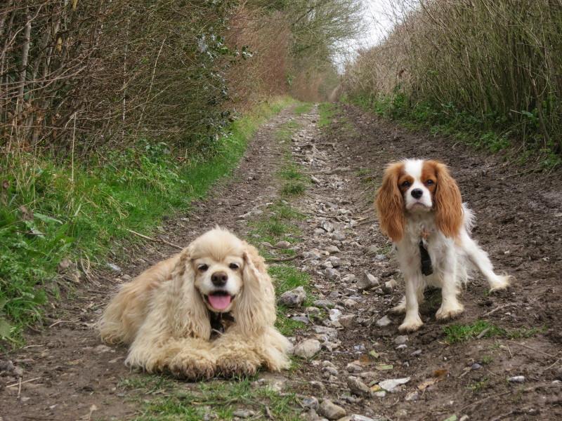
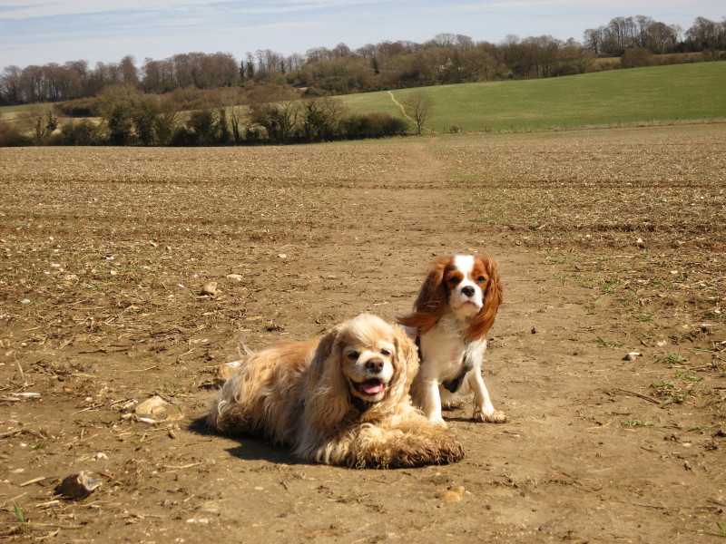
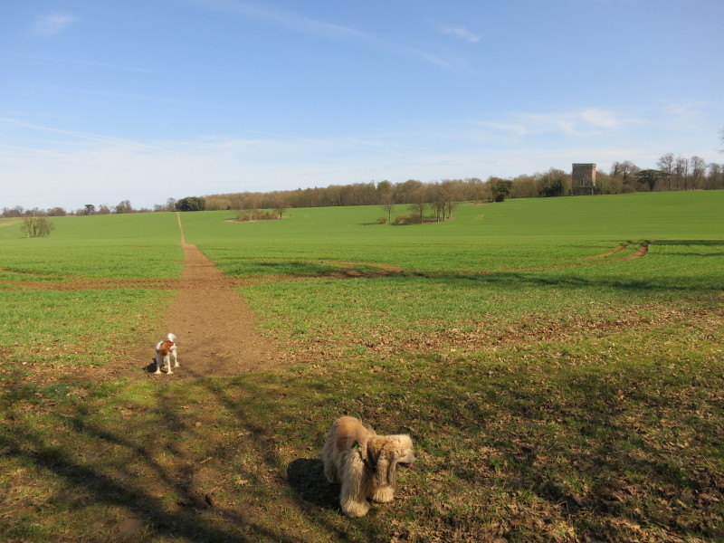
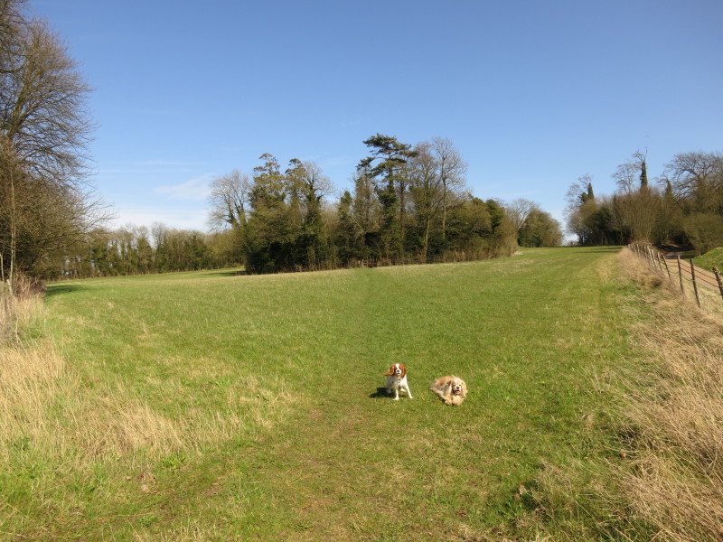
Two happy dogs. The rain, wind and cloud has gone and we are left with a
glorious spring afternoon
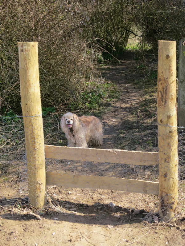
George shows the way. Just visible through the gap in the bushes is a
section which caused no problems for the dogs but its metre-high
headroom was more difficult for me and my rucksack.
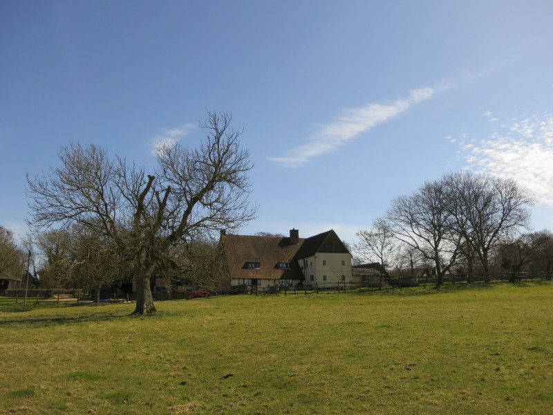
Coldred Court Farm. Despite it being mid-April, the trees still look
very bare after a very cold March and early April. They are starting to
bud at last, so it won't be long until spring is properly upon us.
Another cross-field walk, starting our exploration of Waldershare Park.
I'm not sure whether that building is a water-tower for Waldershare
Park, or just a slightly uninspired folly.
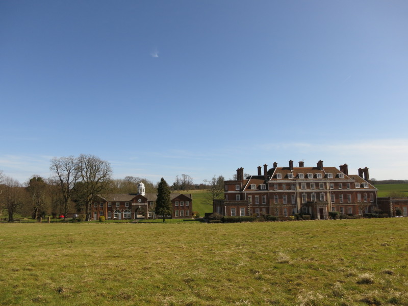
The path takes us close to Waldershare House. Once the home of the Earls
of Guilford [sic], it has been converted into apartments.
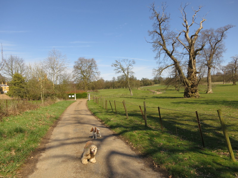
We continue our wanderings through the estate.
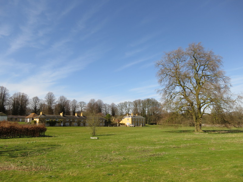
More cottages and houses on the estate
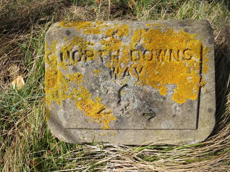
One of the old North Downs Way markers
Someone with a sense of humour planned this: a small circular wood has
been planted right across the path.
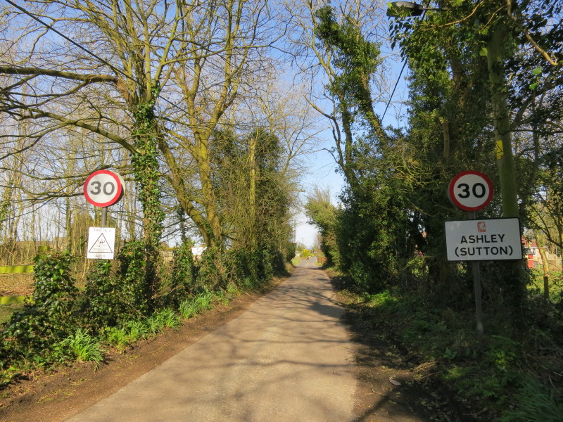
After "Shepherdswell or Sibertswold" earlier, we now have "Ashley
(Sutton)", though presumably the place named Sutton on my map about 2.5
km to the ENE has the bigger claim to the second name.
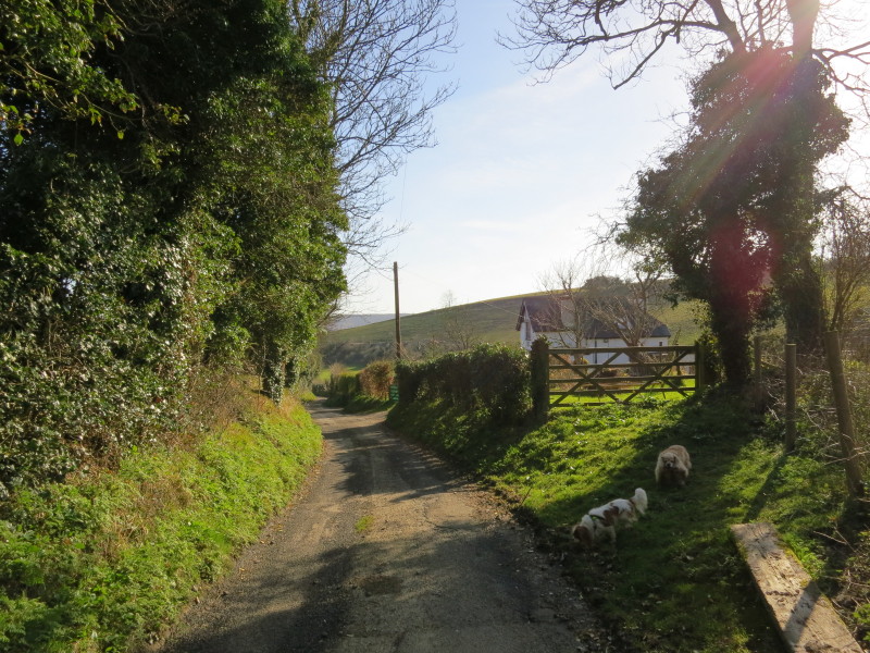
After a little road-walking through Ashley (Sutton), we return to green
lanes
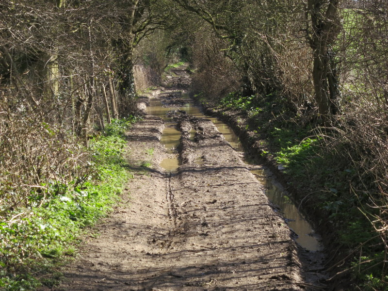
However, here the route has been classified as a Byway, and as a result
motor vehicles have caused major damage to the surface and left it
difficult and unpleasant to negotiate for pedestrians
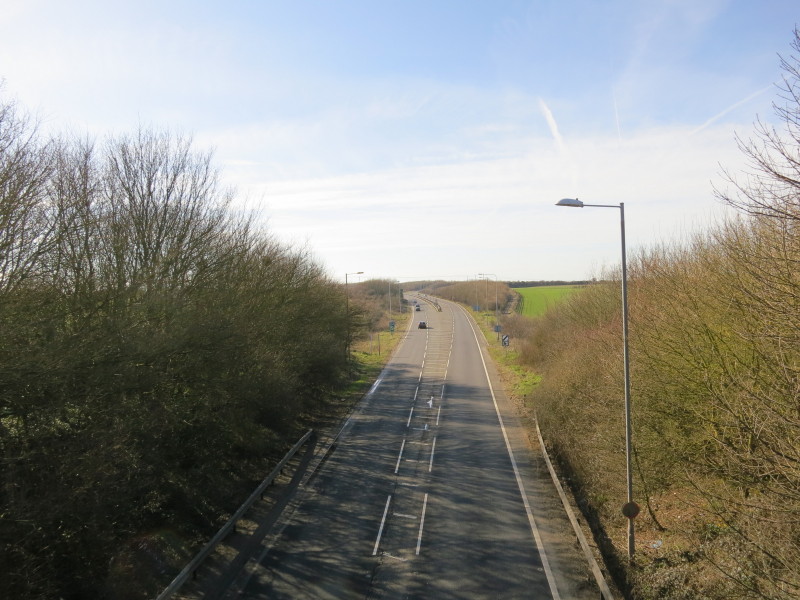
When the A2 Dover bypass was built, the green lane was severed and its
users sent on a 1.4 km diversion to this bridge and back.
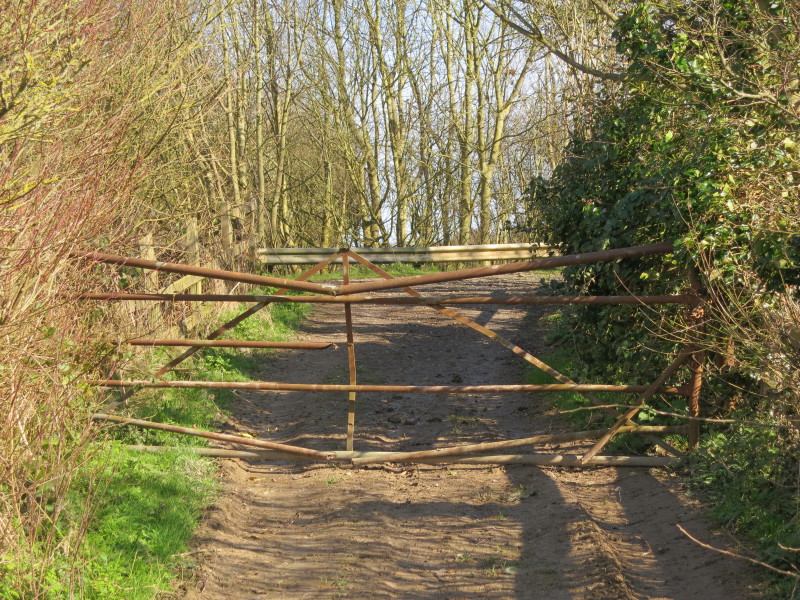
To make matters worse, the Byway was blocked by this locked rusty gate.
I climbed over it and the dogs went through it, but I could see no
notices justifying this blockage of a public highway.
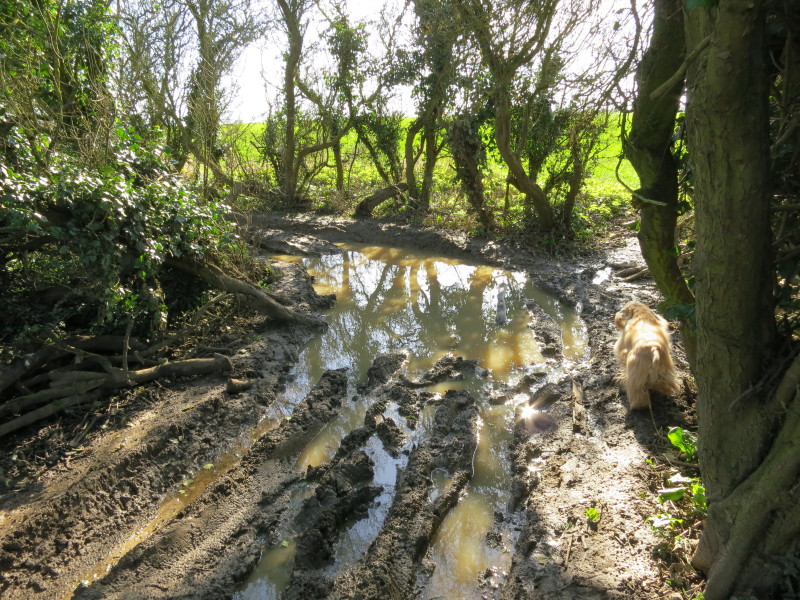
We continued on, and found more damage to the the highway. This
continued for some way, and in places we resorted to walking along the
edges of the neighbouring fields to escape the deep mud and water on the
byway.
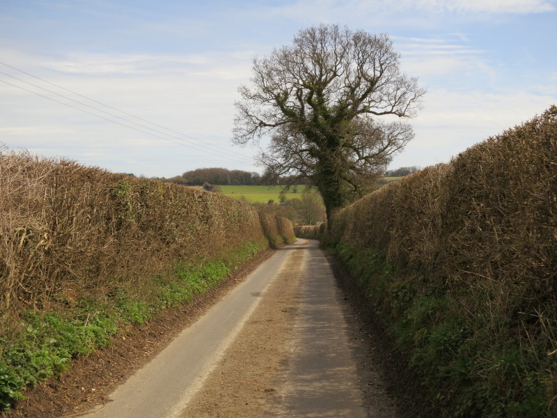
Eventually escaping that unpleasant experience, the same route continues
as a quiet tarmacked lane descending quite steeply off the downs and
into Dover
Today's 20.4 km was Lottie's longest walk by some margin, and George's
longest for a while after a quiet winter, but both remained full of
energy throughout and showed no signs of flagging at all.
We cross the railway from Dover to Deal and Ramsgate as it heads for
Guston Tunnel
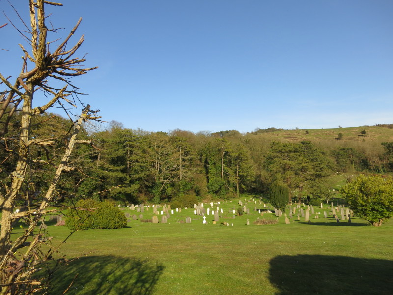
This cemetery is absolutely delightfully located, nestling into a fold
in the hills. Not much solace to the dead but a lovely place for the
living to come to visit a grave.
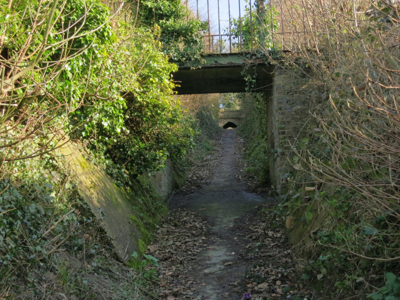
Into the town itself, we find an unusual urban path in a cutting,
ascending steeply under two low bridges. I suspect it was made by the
cemetery authorities since it effectively links the older more central
cemetery and the new one just seen.
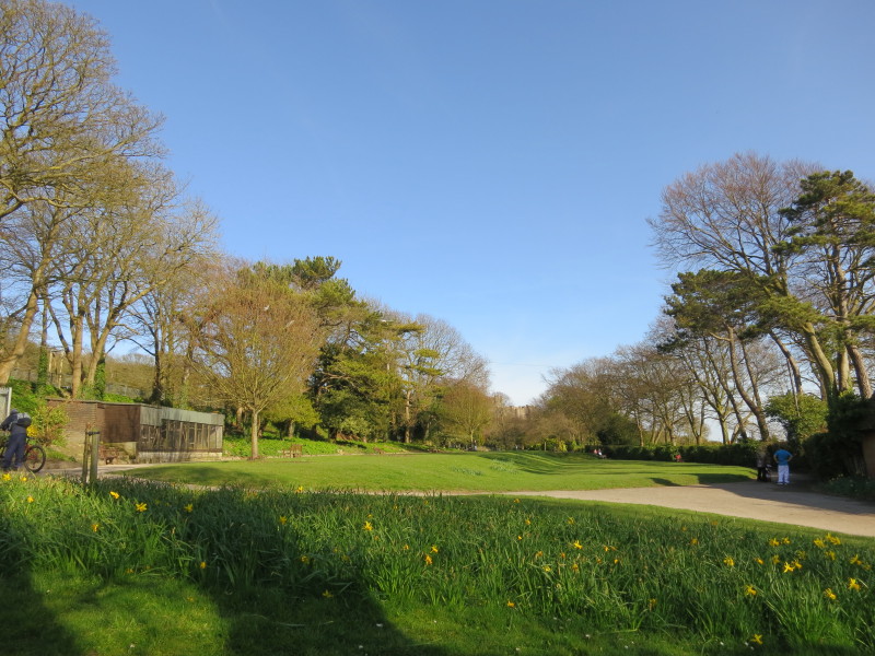
On one side of the path is the old cemetery, and on this other side is a
pleasant park. In the distance...
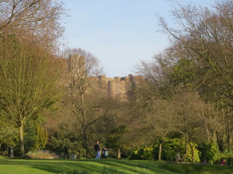
...is Dover Castle. We are nearing journey's end.
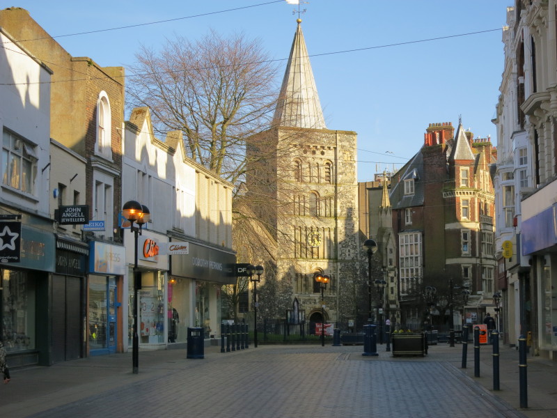
Walking through Dover town centre. At this point Lucy phoned to say she
and the other dogs had just arrived at the sea front ready to pick us
up, and were about to get an ice-cream. An incentive to hurry over the
last few hundred metres!
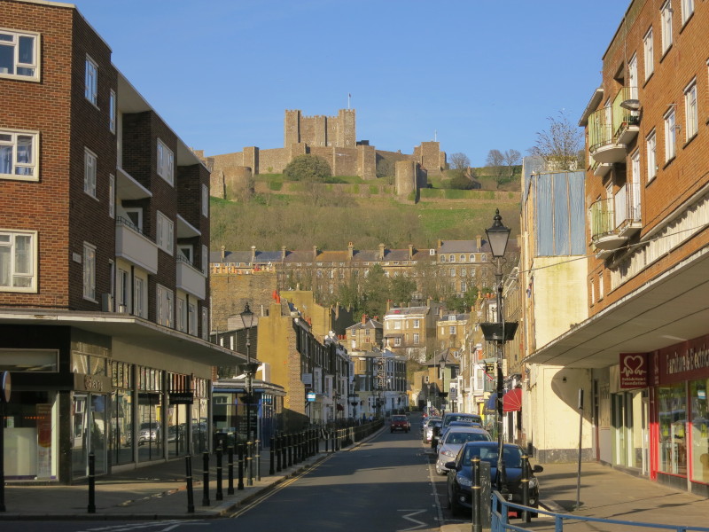
This is the point where I finished the main route of the North Downs Way
in 2009. It is surrounded by not very attractive semi-modern buildings,
but the view in the distance is rather better. From here therefore the
North Downs Way heads to Boughton Lees either via Canterbury or via the
main escarpment past Folkestone. But a sign pointed to the
"Start/Finish" of the North Downs Way.
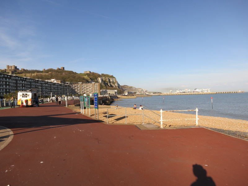
I was so excited when I got to the sea front that I forgot to look for
the new official finish. Instead here's a view along the front with the
all important ice-cream van as well as the castle again and ferries
heading to or arriving from France. I will return here one day to
continue my walk along the Saxon Shore Way, and when I do I will try to
remember to have a look at the new end of trail marker. In the meantime
you can
see it on the National Trails website.
And so ended a walk whose sunshine and pleasant scenery was marred by
the long section of byway ruined by motor vehicles towards the end.
Never mind, time for that ice-cream...
Total distance walked 20.4 km (20.3 km along the Canterbury Loop of the North Downs Way) with 331m ascent, in 4 hours 53 mins.


|