North Downs Way - Rochester to Coldblow
4 August 2007
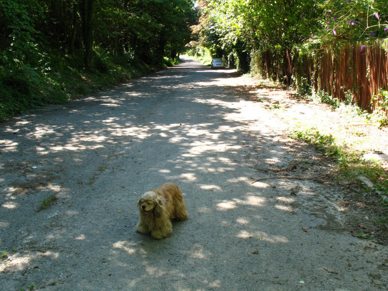
With Lucy taking Ellie to a dog show in Hoo near Rochester in Kent, Stephen and
George took advantage of a lift, for a walk along part of the
North Downs Way.
The North Downs Way runs for 201km from Farnham to Dover (or 211km if you take
the alternative route via Canterbury), and while a couple of fragments have been
visited before, this was the first proper walk along the route.
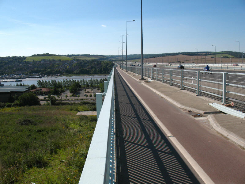
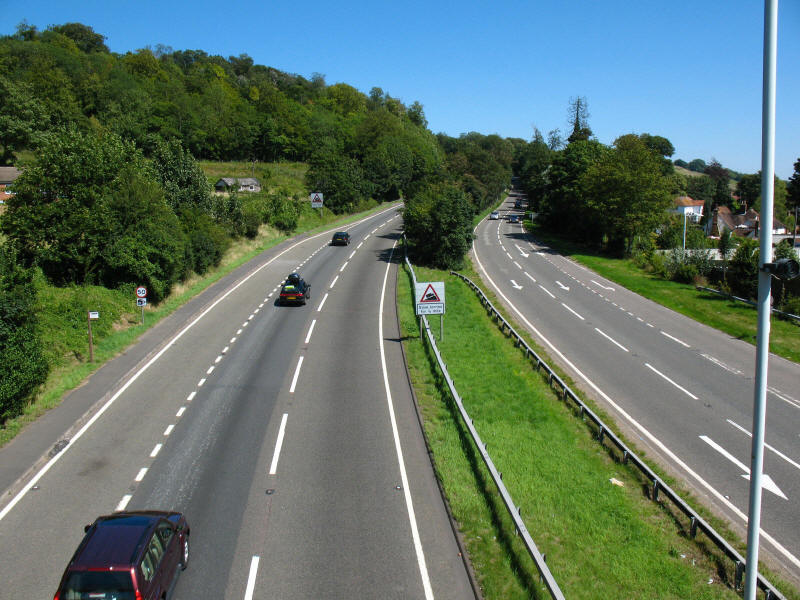
The first stage of today's outing was this unusual walk along the motorway bridge.
When the M2 was widened and the second Medway Bridge built, a footpath and
cycleway was included. A third bridge was added when the Channel Tunnel Rail
Link was built.
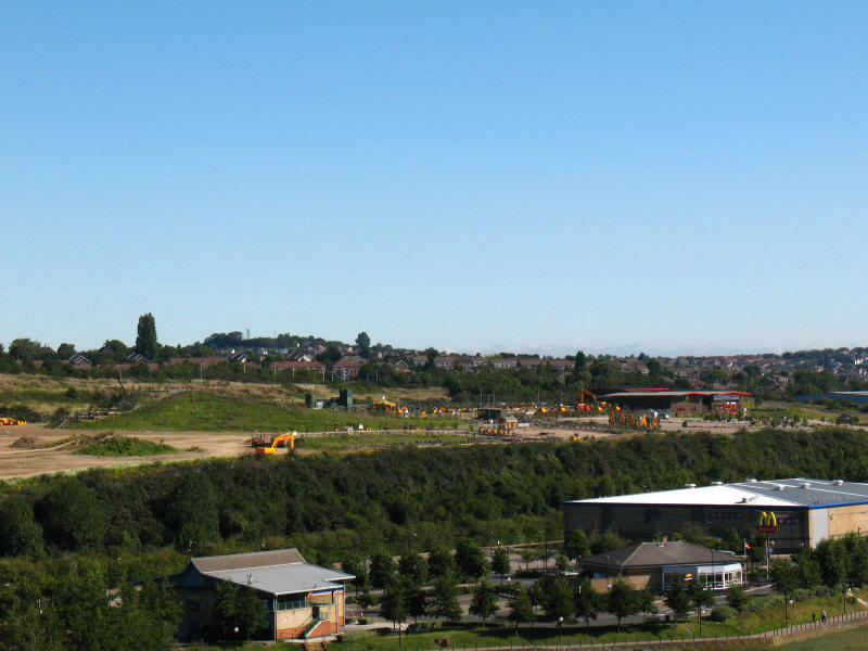
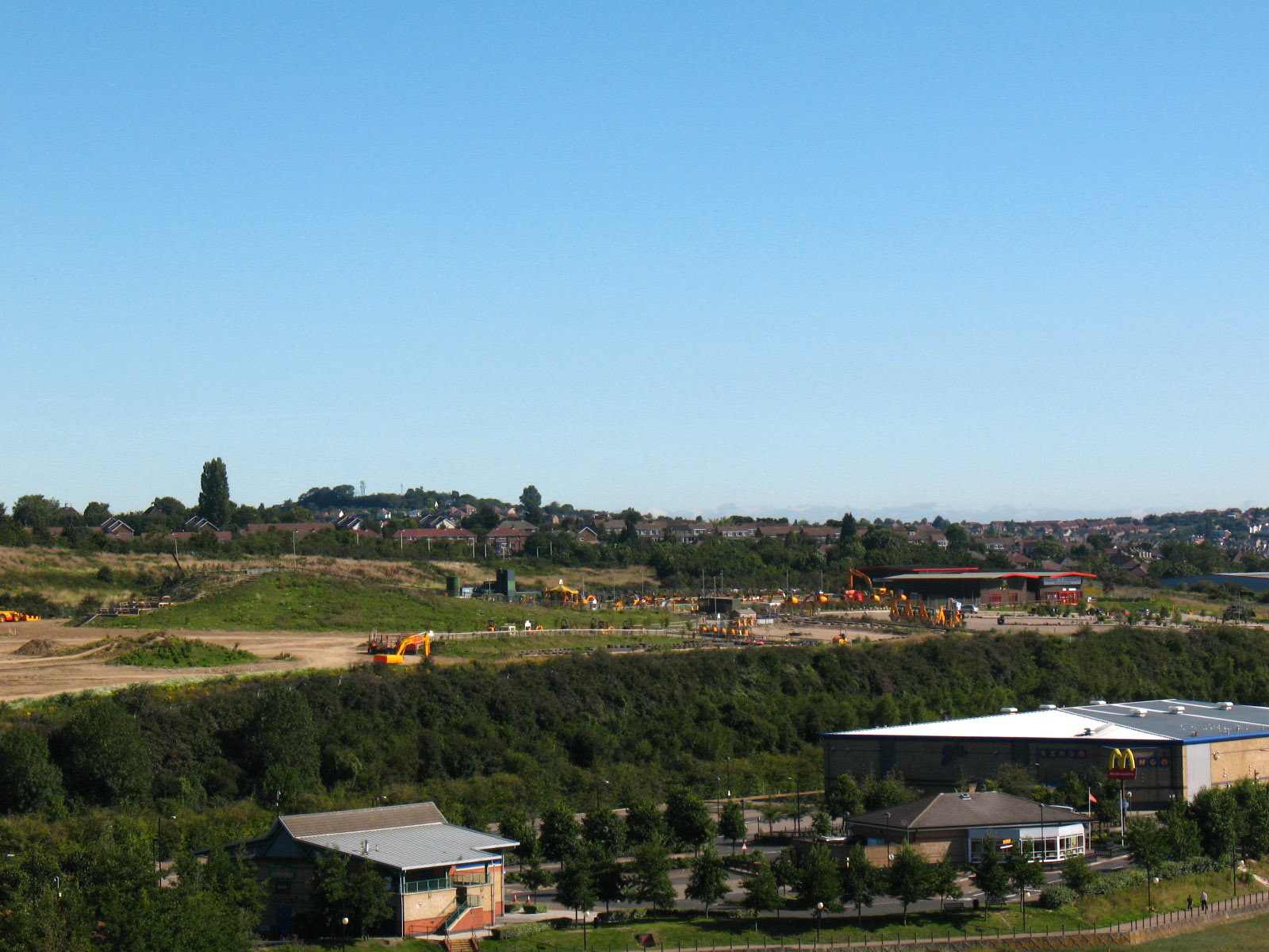
From the bridge looking to Diggerland, scene of Stephen's
JCB driving experience last
year.

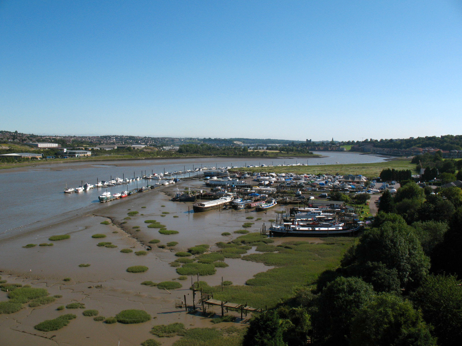
Looking down on the marina and the River Medway. It took around ten minutes to
walk across the bridge.
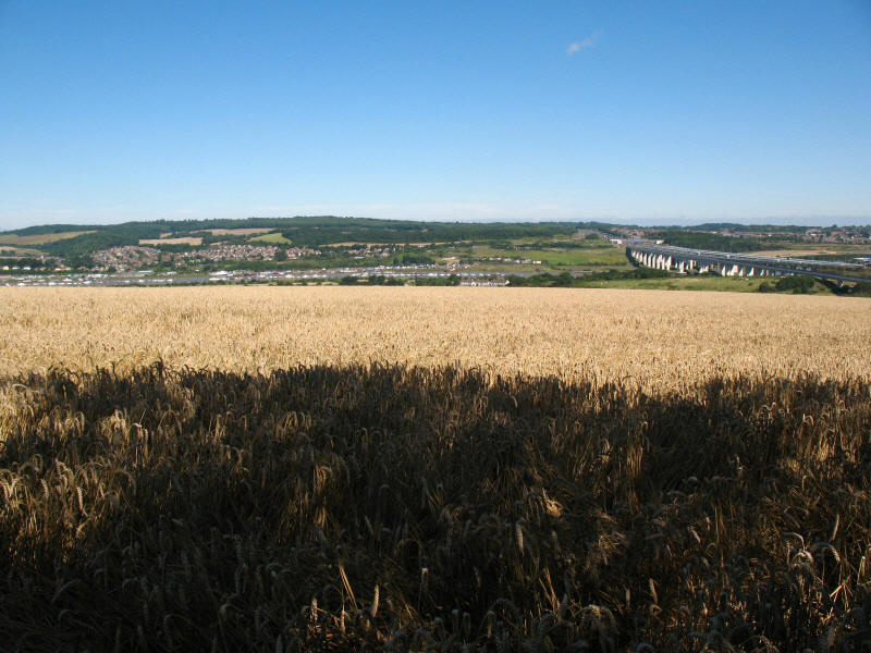
Away from the noise of the motorway, a look across fields to the river and the
three bridges.
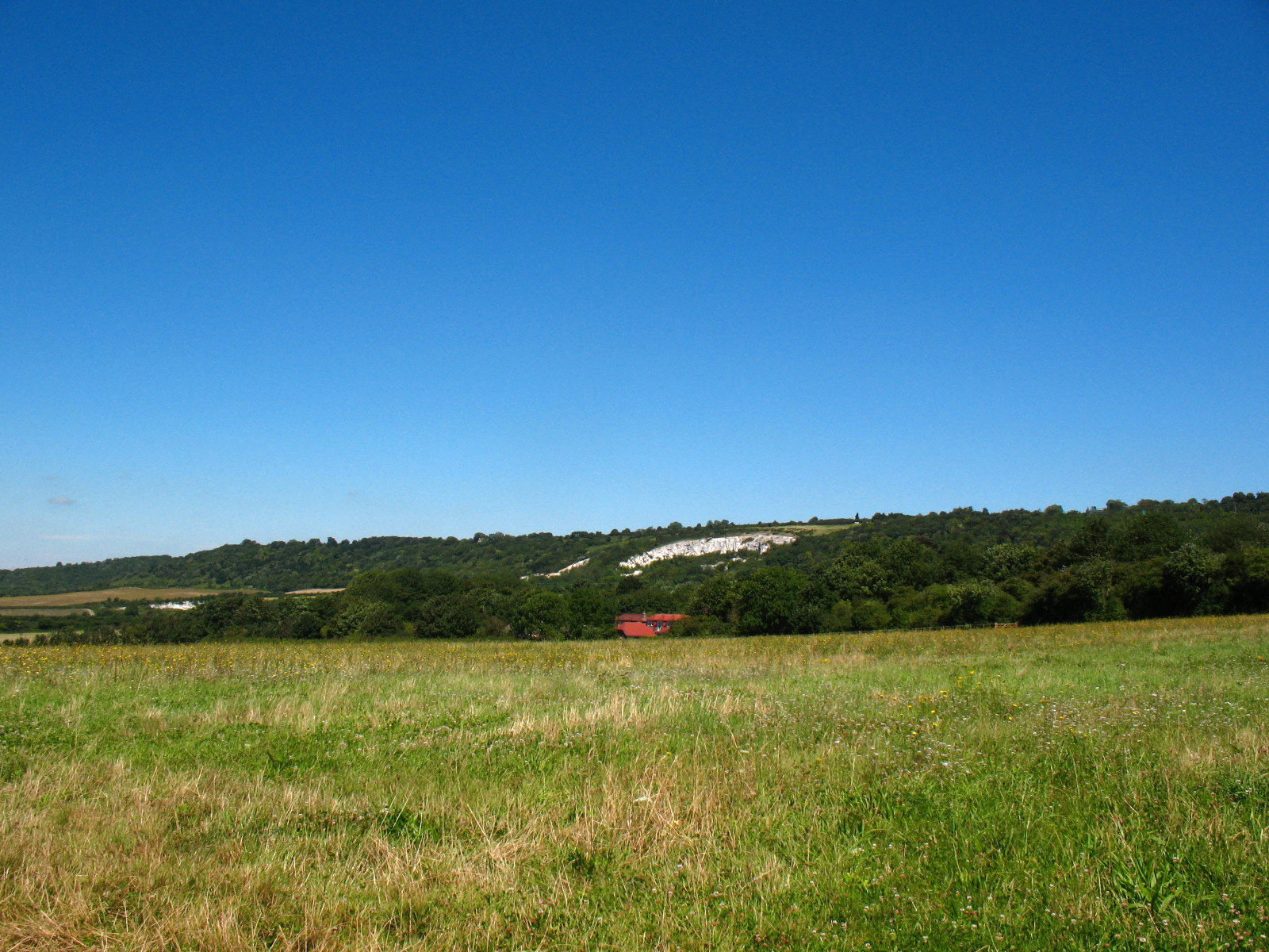
Over an hour later, we are still looking down on the valley of the Medway from
the edge of the North Downs escarpment.
George standing in the middle of the road. This is the old Chatham Road, now
replaced by the A229 dual carriageway which roars past a few metres above and to the
left of this photo. We are part-way through a large descent from the escarpment,
losing over 100 metres of height which will have to be regained later.

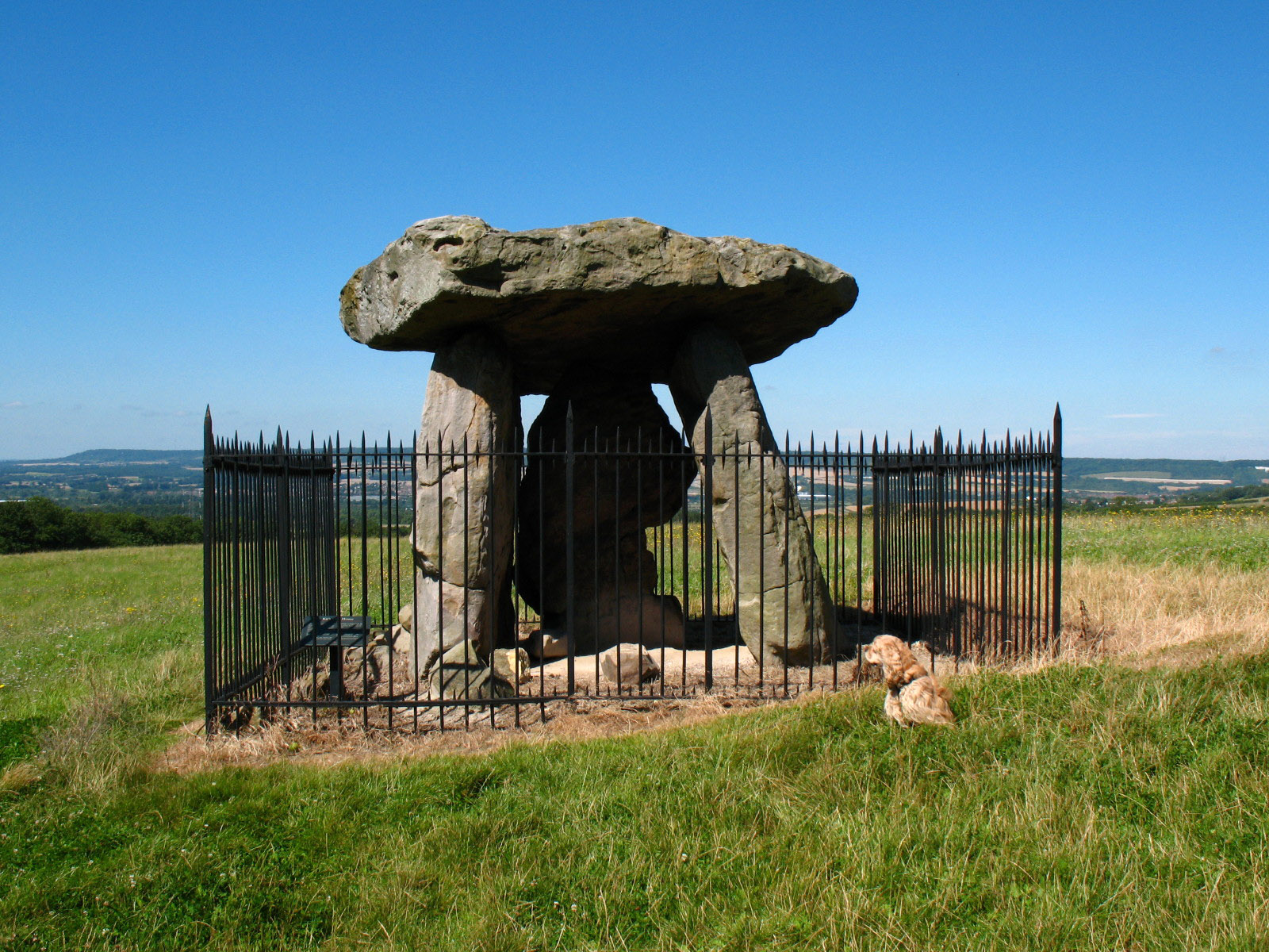
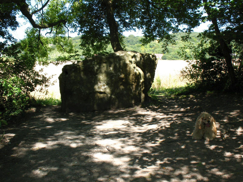
Exactly why the diversion off the escarpment was made when the North Downs Way
was created is not known to me, and there are public footpaths than retain the
height, but the visit to this site might be one reason for the extra toil. This
is the site of Kit's Coty House Burial Chamber, and these four stones were in
the burial chamber in the eastern end of a Neolithic long barrow dating from
around 2000 BC, which was some 55 metres long. Sadly the mound itself is no
more.

Looking back from that point to the escarpment from where we have come.

We then turned on to the route of the Pilgrim's Way for the first time.
Remarkably, this is recorded as a byway on the map, though it is difficult to
see any four-wheeled vehicle fitting along here.
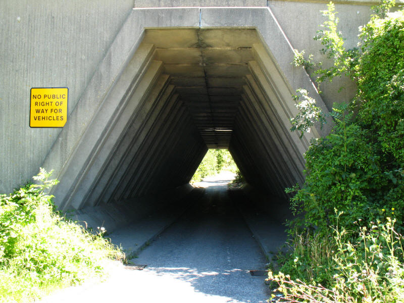
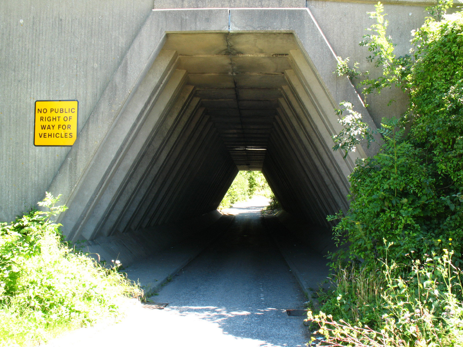
The somewhat odd underpass finally takes us beneath the A229 which we having
been following down the hill for some time. On the other side
we found a petrol station, ideal to offer us a cold drink and an ice-cream - a
welcome relief on this hot day, the summer having arrived at long last after the
wettest May to July on record.

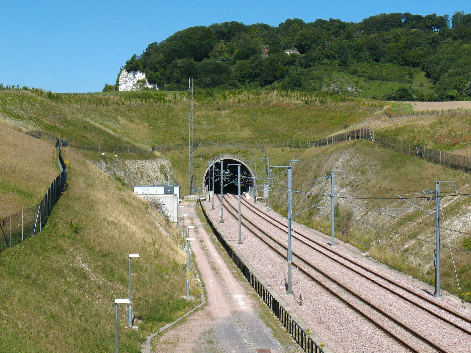
Stephen chomping on the ice-cream, we make our way over the Channel Tunnel Rail
Link again, looking to the southern portal of the North Downs Tunnel.
I think this is the White Horse Stone - the guidebook said it was up some steps
on the right, but this was on the left, but there were no steps on the right,
and the map suggests it should be on the left anyway. The potentially misleading
guidebook is also silent on its background. After this, there was a stiff pull
up the hill back to the Downs escarpment through Boxley Warren Nature Reserve -
"one of the most important places for wildlife in Kent and in Europe" according
to the board at the bottom of the hill. Fortunately, on this hot day the climb
was within the shade of the woods.
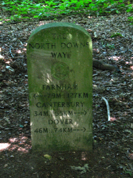
Towards the top of the hill we pass this milestone.
After another descent from the escarpment, we reach the village of Detling,
through which runs the A249 dual carriageway. We are on Jade's Crossing, a
footbridge opened in 2002 after Jade Hobbs, aged 8, and her grandmother became
the third and fourth people to die while crossing this road.
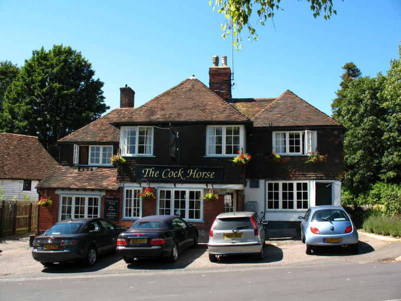
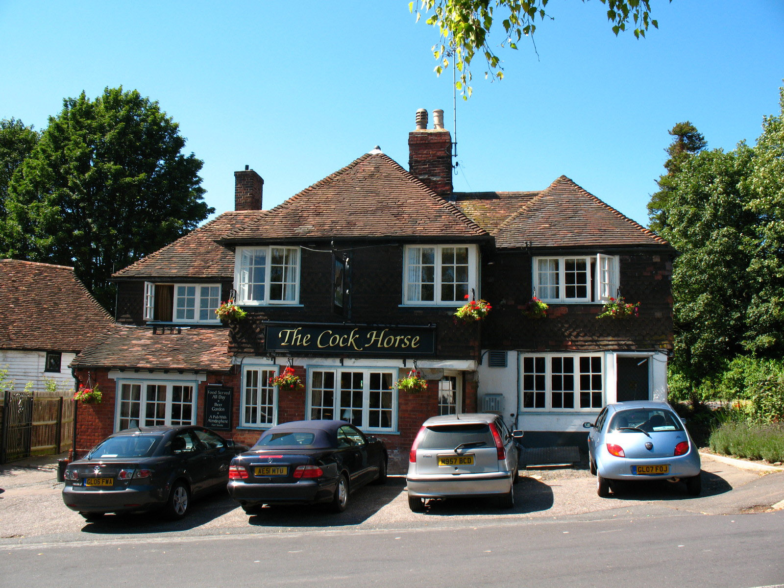
The Cock Horse pub in Detling.
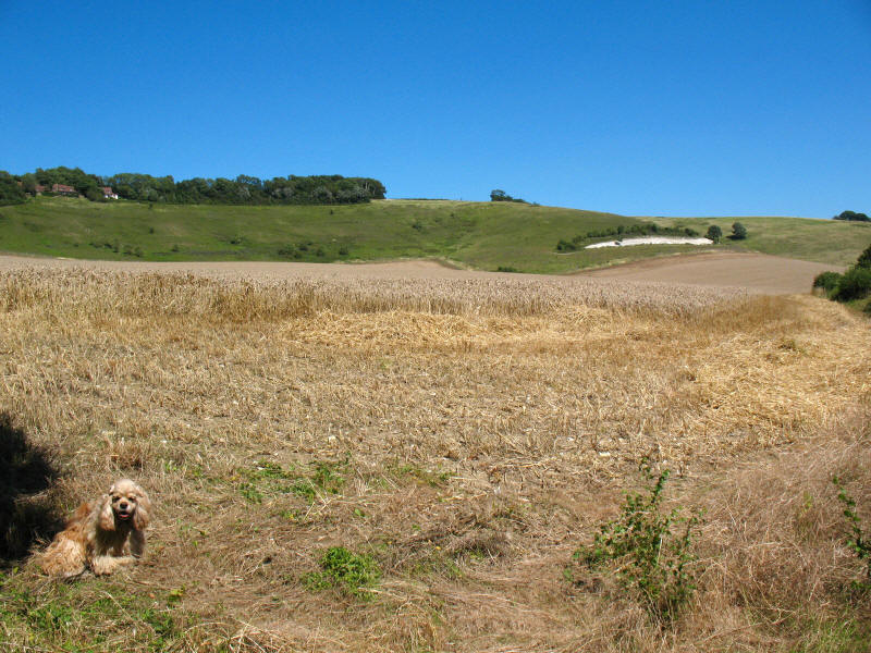
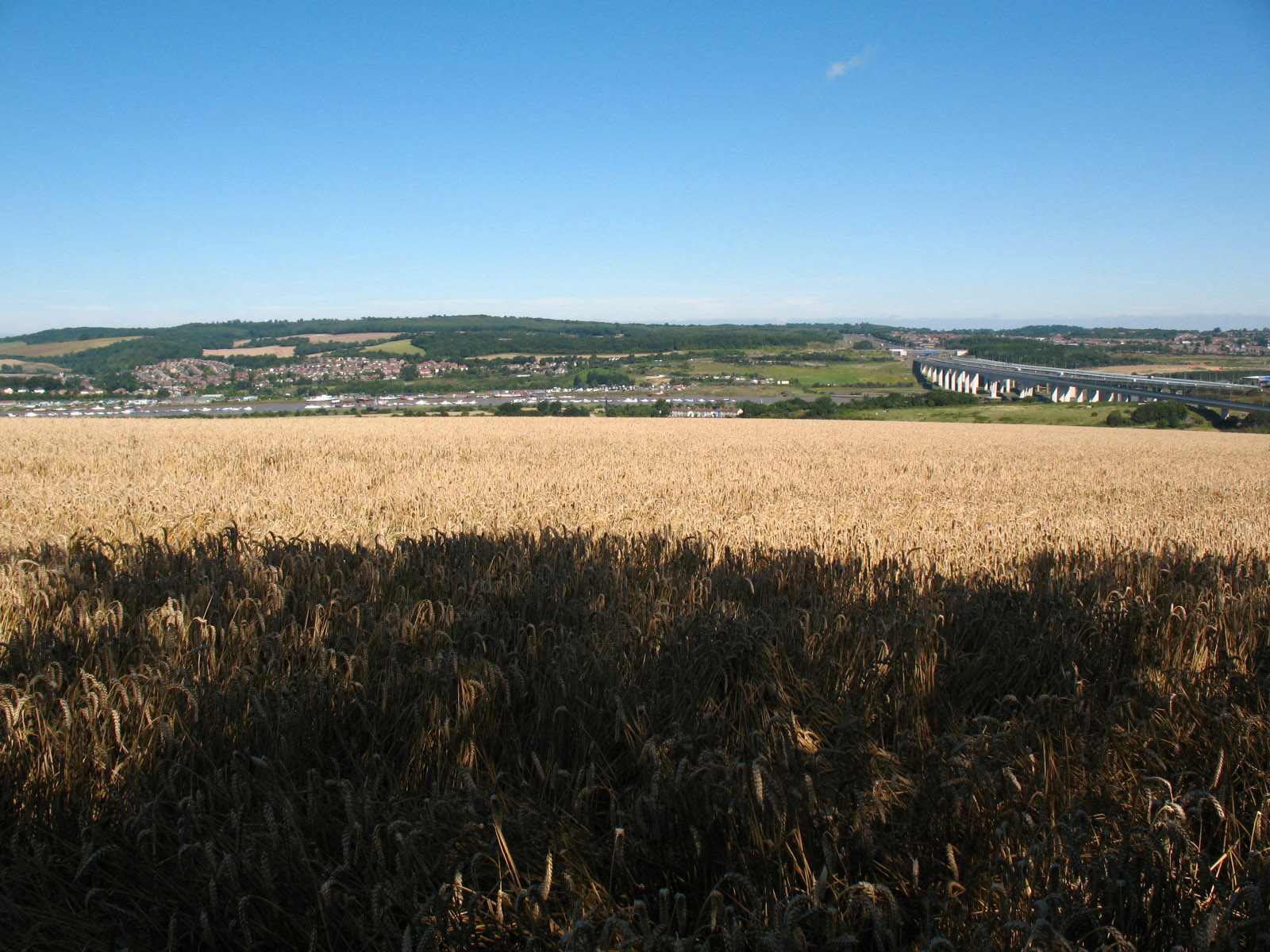
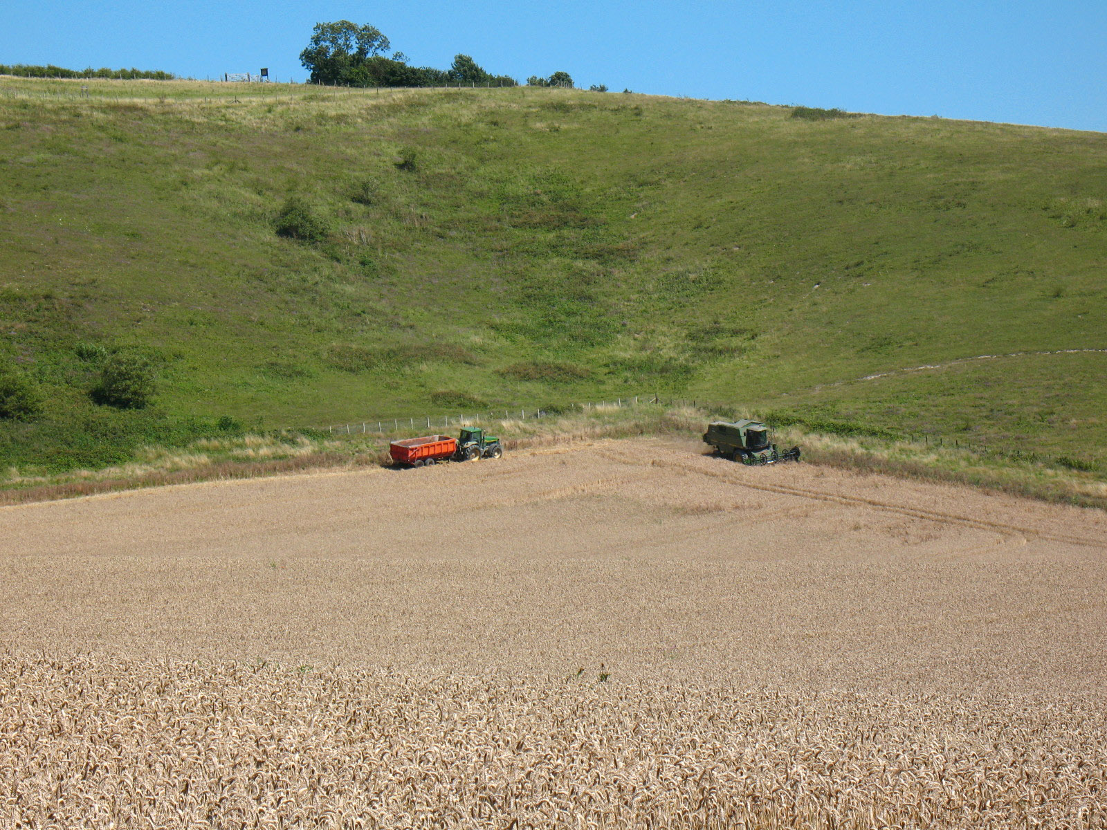
George sits by the edge of a field which is being harvested. Another climb onto
the escarpment beckons.

As we climb up, a look down on to the harvesting operation.

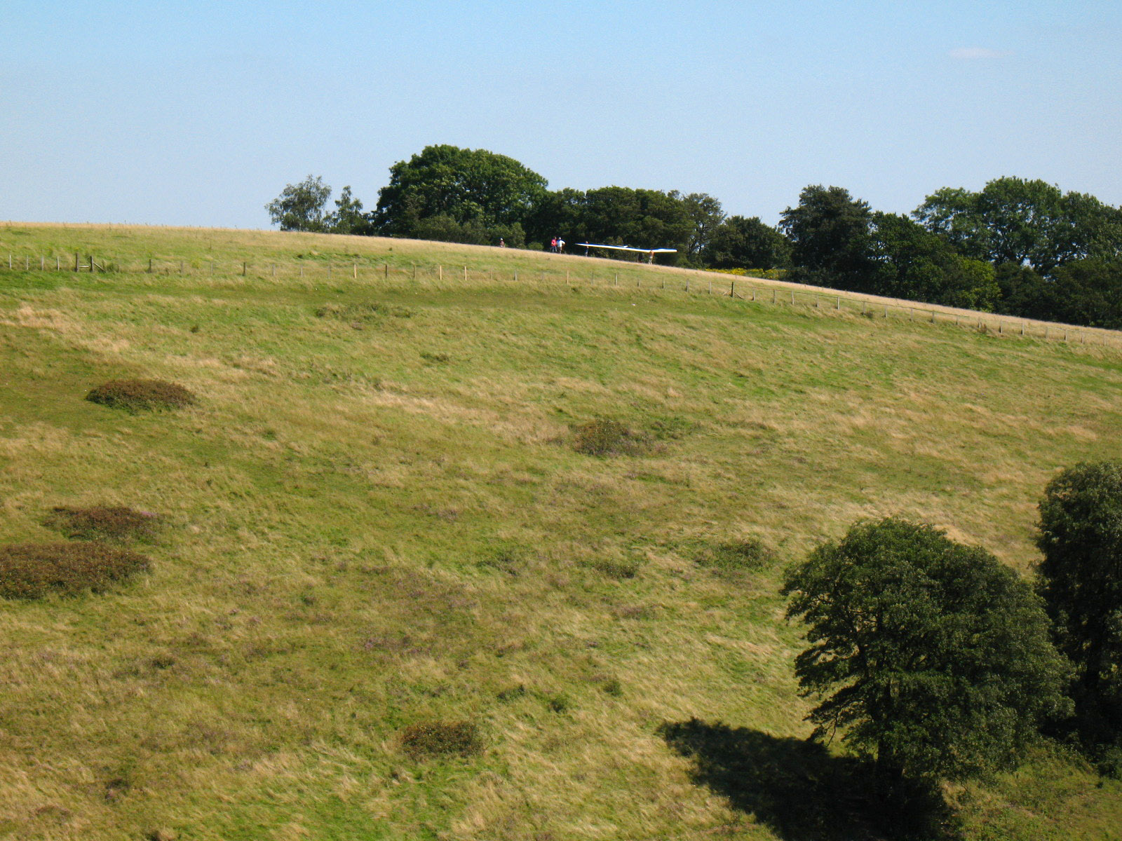
As we approach the White Horse Wood Country Park (last
visited in 2003), a hang-glider prepares to take off. The road among those
trees, near
the grounds of Thurnham Castle, was as far as we had intended to go
today (indeed, Detling was the original objective, with Thurnham as a fall-back in
case we made better than expected progress), but with excellent progress having
been made, and Lucy and Ellie still at the show, we pressed on.
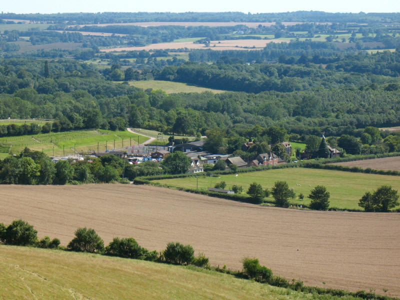
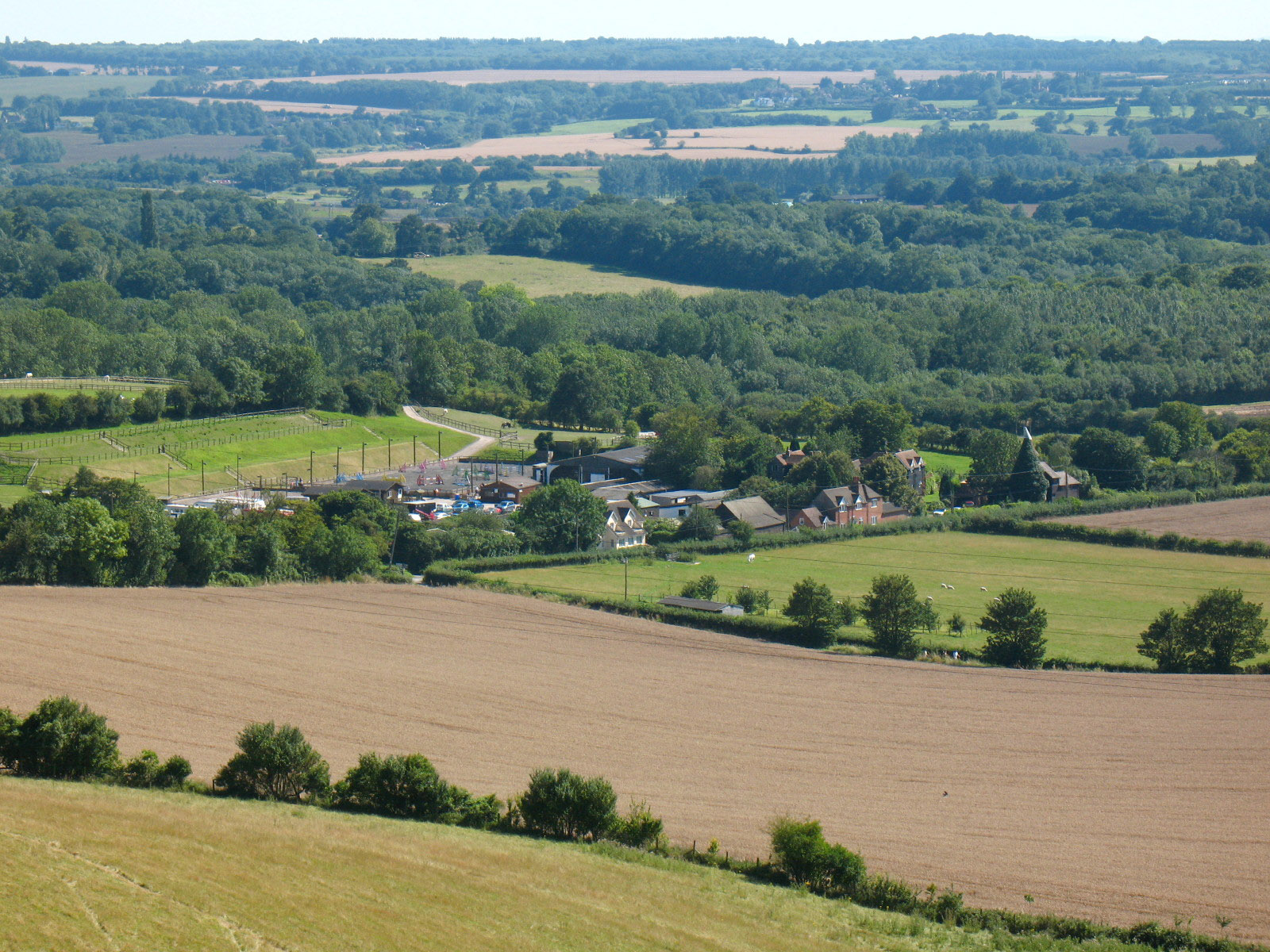
Looking down on Cobham Manor farm and equestrian centre. The road junction just
peeking into view at the nearest point of the farm was the end of the walk where
we waited for Lucy and Ellie.
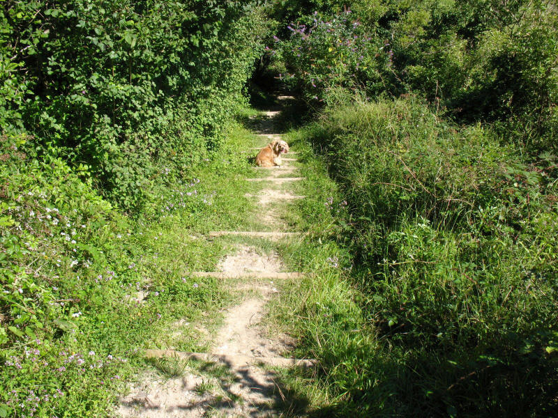
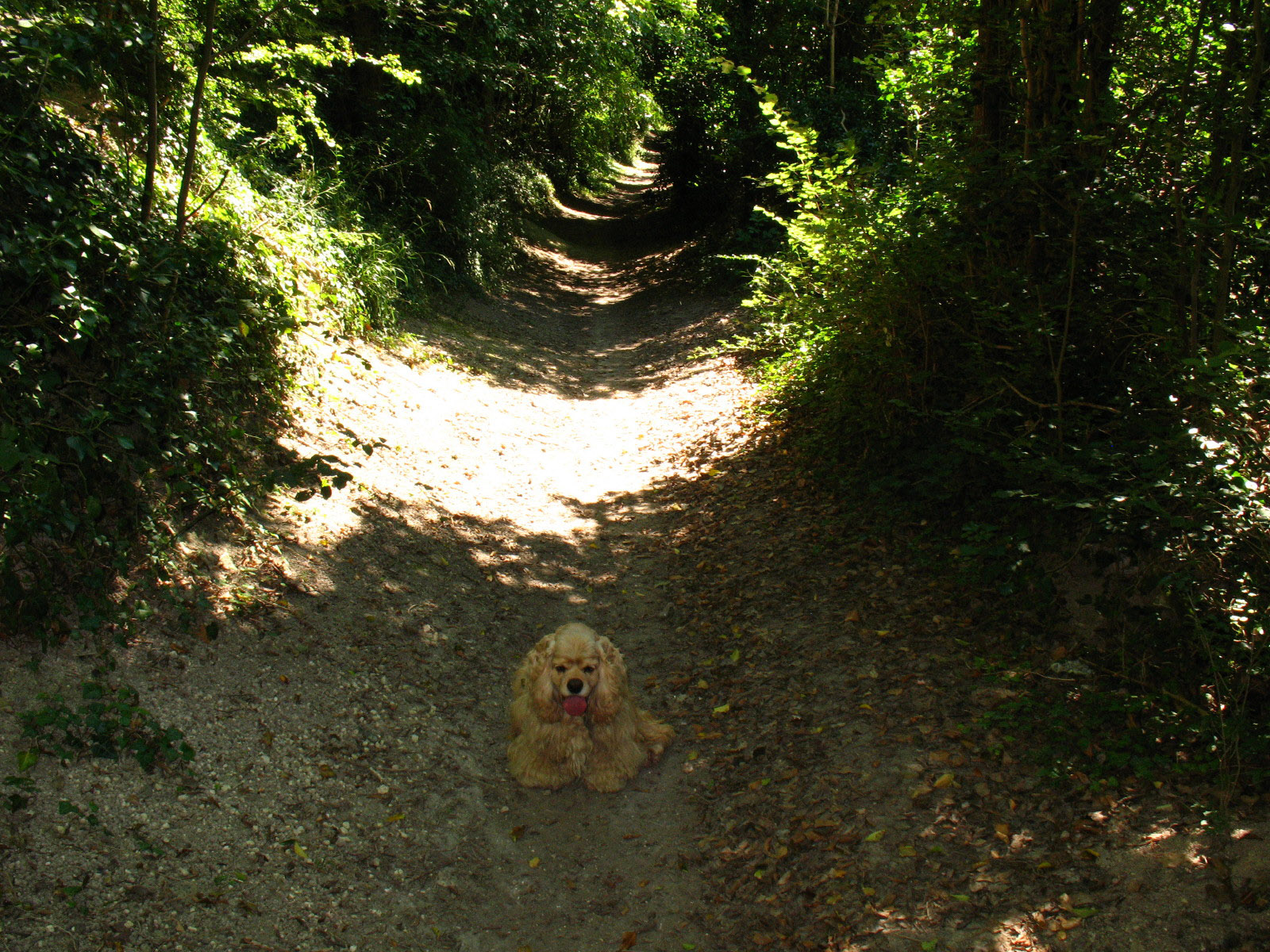
George going down a set of steps in Civiley Wood
A very pleasant walk, partly because it was a proper summer's day for the first
time since April, though (never satisfied) it was rather too warm at times -
indeed, my skin on my lower back became quite irritated with the sweaty shirt
being rubbed against it by my rucksack. But it was a good walk, and despite the
relative proximity of the M2, M20 and CTRL, quite tranquil, with only a handful
of people passed all day.
Total distance 20.5km (20.0km on the North Downs Way) with 566m ascent, in 6 hours 24 minutes (4 hours
58 minutes moving) - about 10% of the Way walked. I'm going to have to change
the parameters for estimating walk times in Anquet, as I keep finishing ahead of
the expected time, which was not unexpected (if you see what I mean) on urban
walks with very easy walking, but this was a bit harder going, and still we
passed the end of the planned walk and were an hour ahead of schedule at the
end.


|