Ridgeway - Kingston Lisle to Bury Down
26 April 2009
With Lucy taking Ellie and Henry to a dog show in Wiltshire, Stephen and George took advantage
of a lift to return to the Ridgeway National Trail for the first time in 9
months, picking up where they left off, above the village of Kingston Lisle.
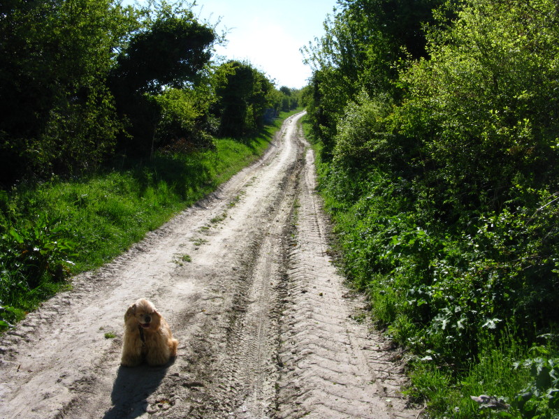
As we set off gently uphill, the ground is dry after an unseasonably warm and
sunny week. Just as well as this looks as though it could be very tedious after
rain.
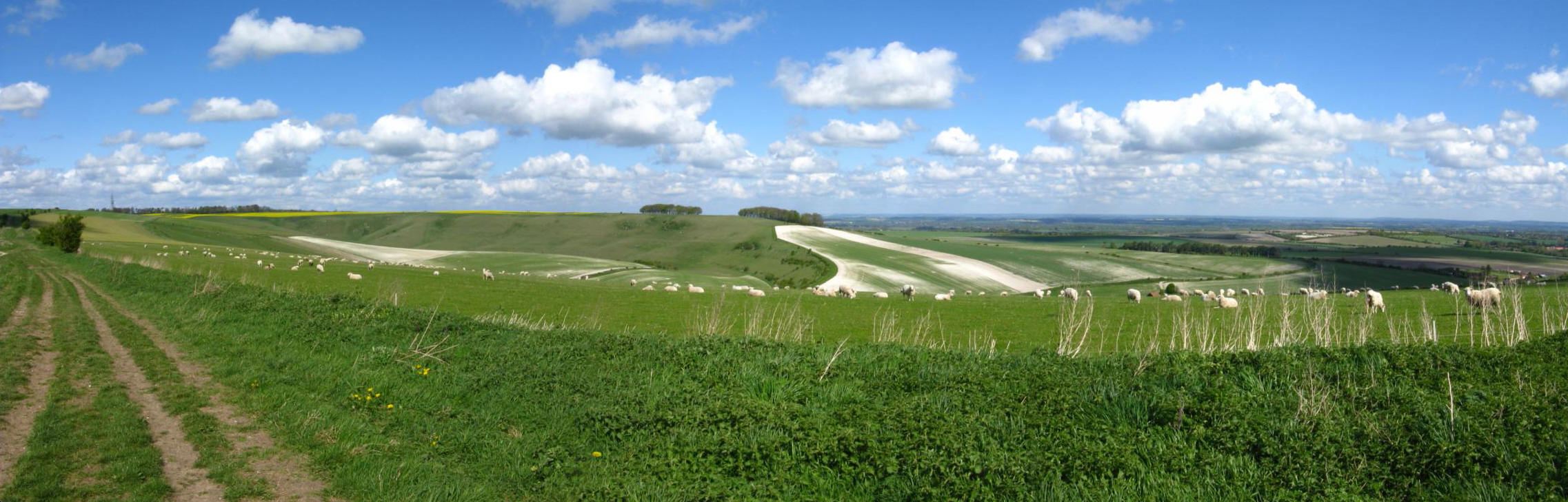
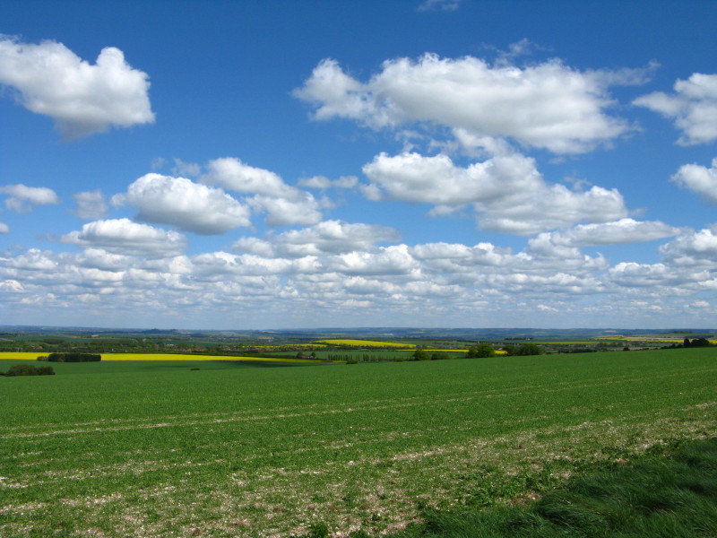
The view to the north opens up. Most of the walk had grand views over the Thames
valley
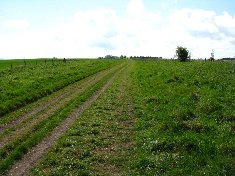
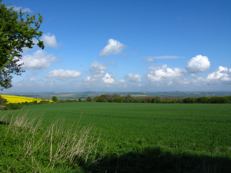
Once on the top, the track conditions underfoot improved. The fact that this is
now a Restricted Byway (no motor vehicles except for access) presumably means
that the quality of the surface has improved greatly in the last few years since
it was changed from a Road Used as a Public Path. Note how wide the gap is
between the fences - that was normal for most of the route.
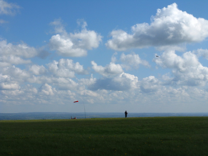
By Sparsholt Firs is a field that is home to a model aircraft club - one of the
planes can be seen, coping well with the brisk breeze.

Looking back to the Devils's Punchbowl.
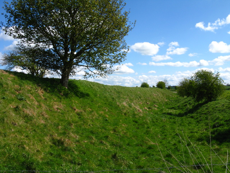
Looking along the ditch of Segsbury Camp (otherwise known as Letcombe Castle),
an Iron Age hill fort occupied between the 6th and 2nd centuries BC.
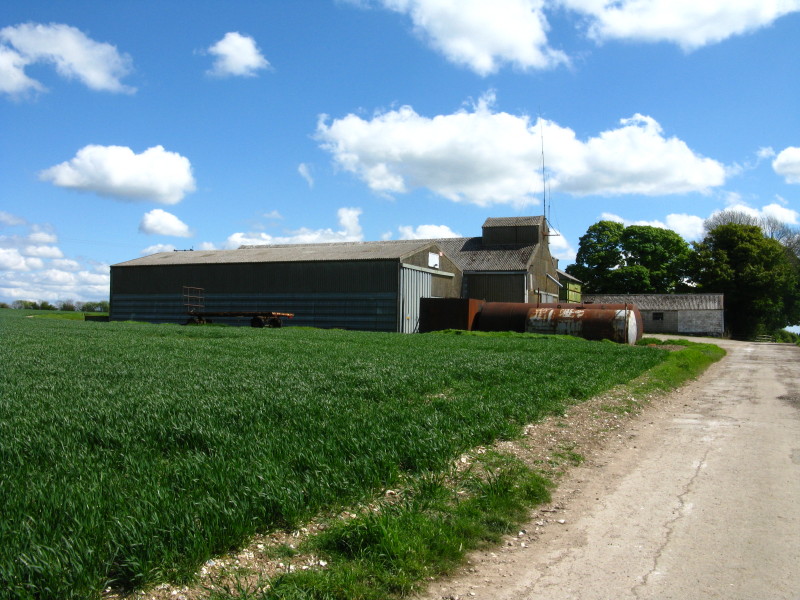
White House Farm
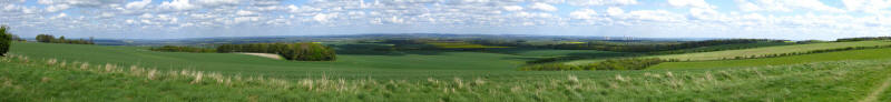
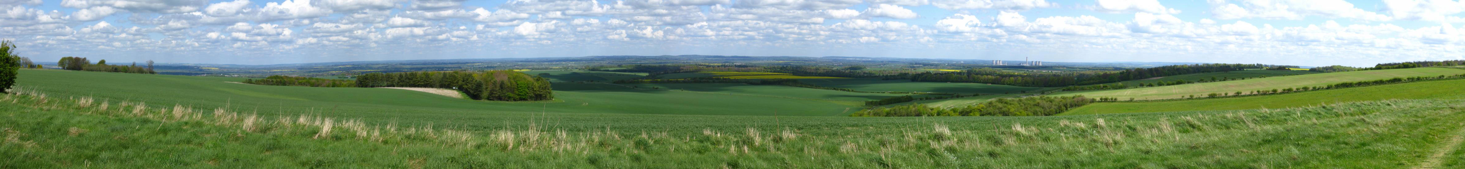
A panoramic shot of the view to the north - click on the image for a larger
version.
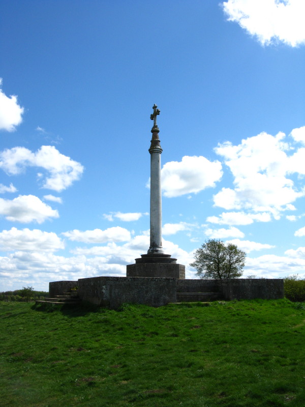
A monument to the soldier and Victoria-Cross-holder Robert Lloyd-Lindsay, Baron
of Wantage.
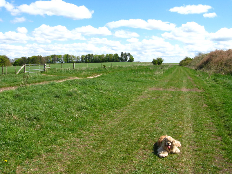
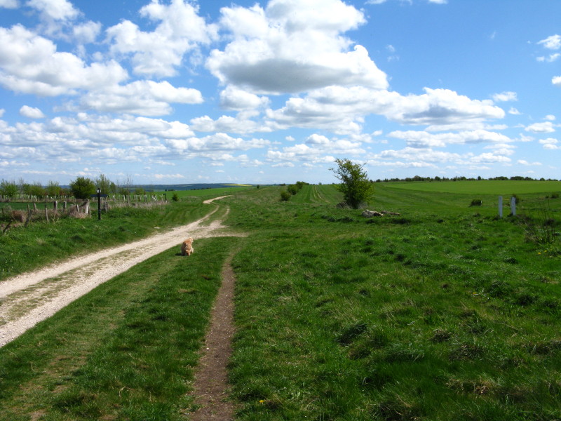
George on the grassy Ridgeway
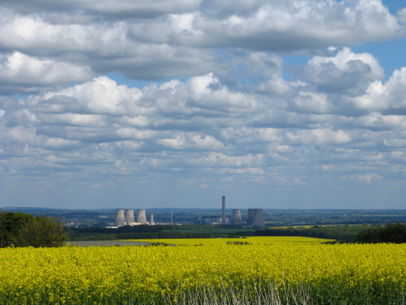
Didcot Power Station was our companion for much of the walk, but fortunately far
enough away not to intrude significantly
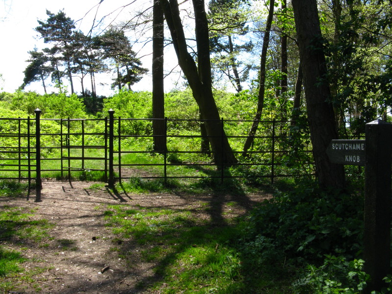
Scutchhamer Knob is the remains of a tumulus, now being a crescent-shaped bank,
possibly destroyed by someone who thought it contained treasure.
Continuing our way along the Ridgeway, with gallops for race-horses in training
on the right.
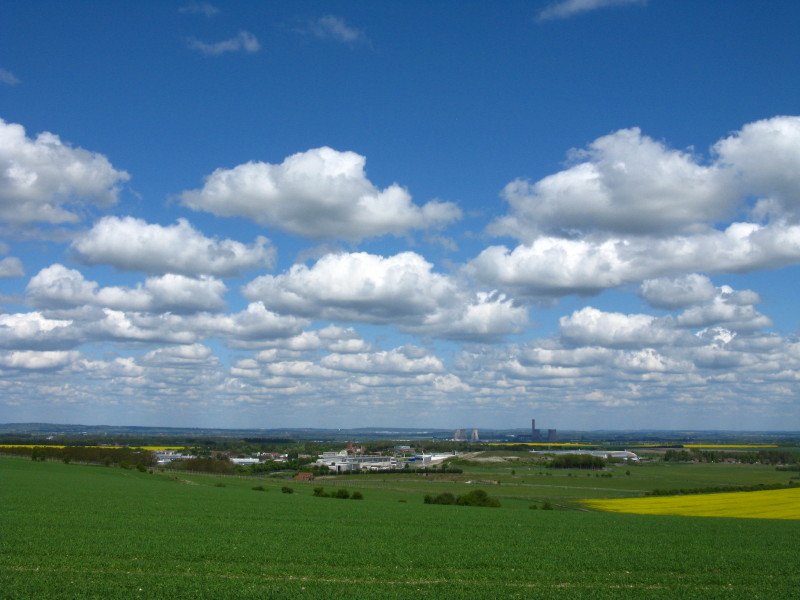
The Rutherford Laboratory and Hanwell International Business Centre, with Didcot
Power Station beyond
In the distance are the Chilterns, where the Ridgeway Path continues after
crossing the Thames at Goring Gap. But that's a little way off yet.
Total distance 17.6 km with 185m ascent, in 3 hours 55 minutes (amounting to
17.2
km of progress along the Ridgeway Path) - that means we're
about 39% of the way to Ivinghoe Beacon.
 

|