In which: there are 1600 metres of up and down ● the day starts windy ● Crackington Haven is refreshing ● grazing goats grace the path ● seals are spied from afar ● Boscastle harbour provides a welcome haven
Date: 24 August 2013 Time of walk: 0855 to 1835 Today’s walking: 27.5 km Progress along SWCP: 27.4 km Estimated ascent: 1600 metres
I had a solid 9½ hours of sleep and went out at about 7.15 and got some provisions for the day from the Co-op I found last night. Although there was a little bit of sunshine the day began mostly cloudy and quite windy, but I decided to stick with the walking shoes and shorts strategy. My feet were in tip-top condition with not a hint of needing a blister plaster. My right knee had given a few twinges on descents yesterday afternoon but seemed to be behaving itself on my early morning outing, so I kept my fingers crossed that it didn’t develop into anything more significant.
Breakfast was full service, relatively unusual in my experience – most places have at least a buffet for juice and cereals, but my glass of orange was brought by the waitress on its own saucer. I can’t say it made me think any more highly of the Hartland Hotel – some quality orange juice or better sausage or bacon or a break from the insipid sliced bread or jams that taste of more than just sugar would have been a better way to spend the money spent on extra staff – for me anyway, though perhaps not the staff in question.
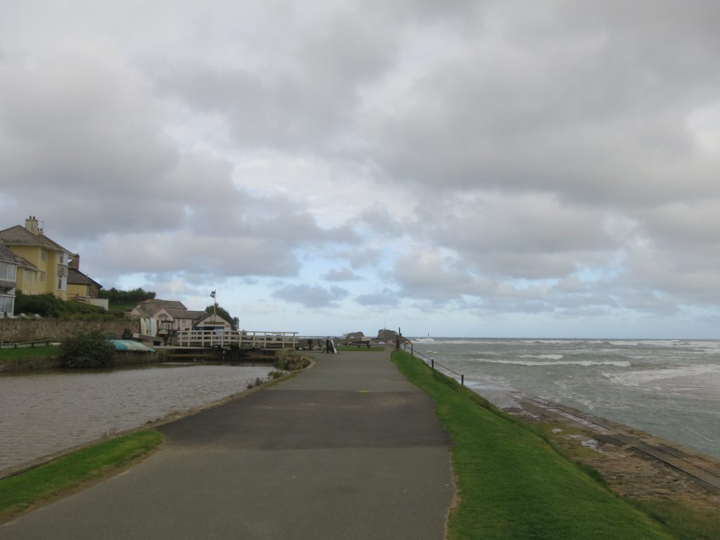
It was to be a fairly easy start to the day, like yesterday, but becoming progressively more rugged, and a day that was both longer that yesterday and with a good deal more ascent to do too. It was a windy start to the day as I walked down the hill and across the island formed by the River Neeth, Bude Canal and the sea.
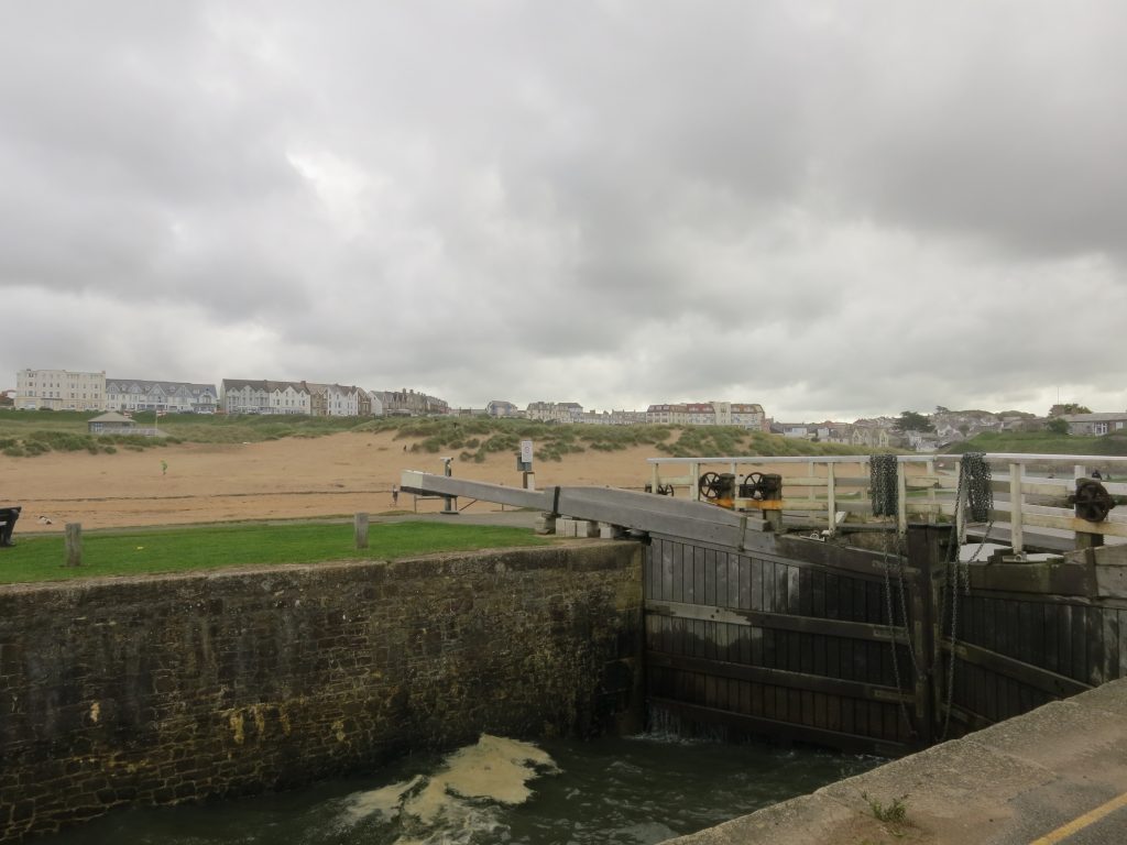
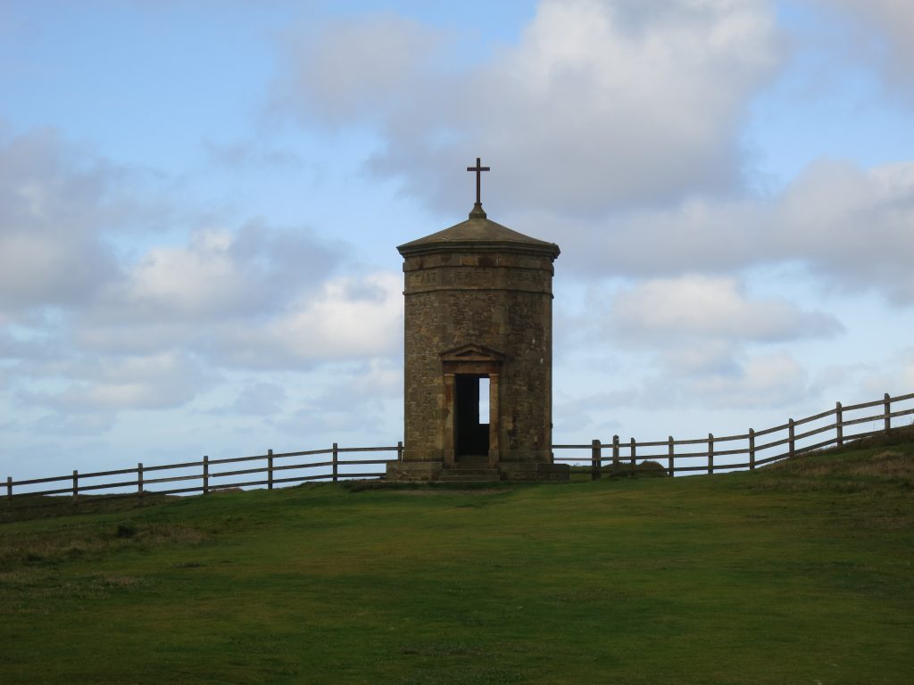
I turned right along the Bude Canal for a short way. The canal was built mainly to bring in lime for fertiliser. The canal starts with the lock ahead of me, or with the tramway on the right.Looking back from the lock to the guesthouses and hotels of Bude, including my original and final abodes.The wind is strong as I climb away from Bude Haven, pushing waves over the wall. The folly on Compass Point, the point named after the points of the compass on the structure.There was a longish section of fairly easy cliff-top walking, now approaching Widemouth Bay.
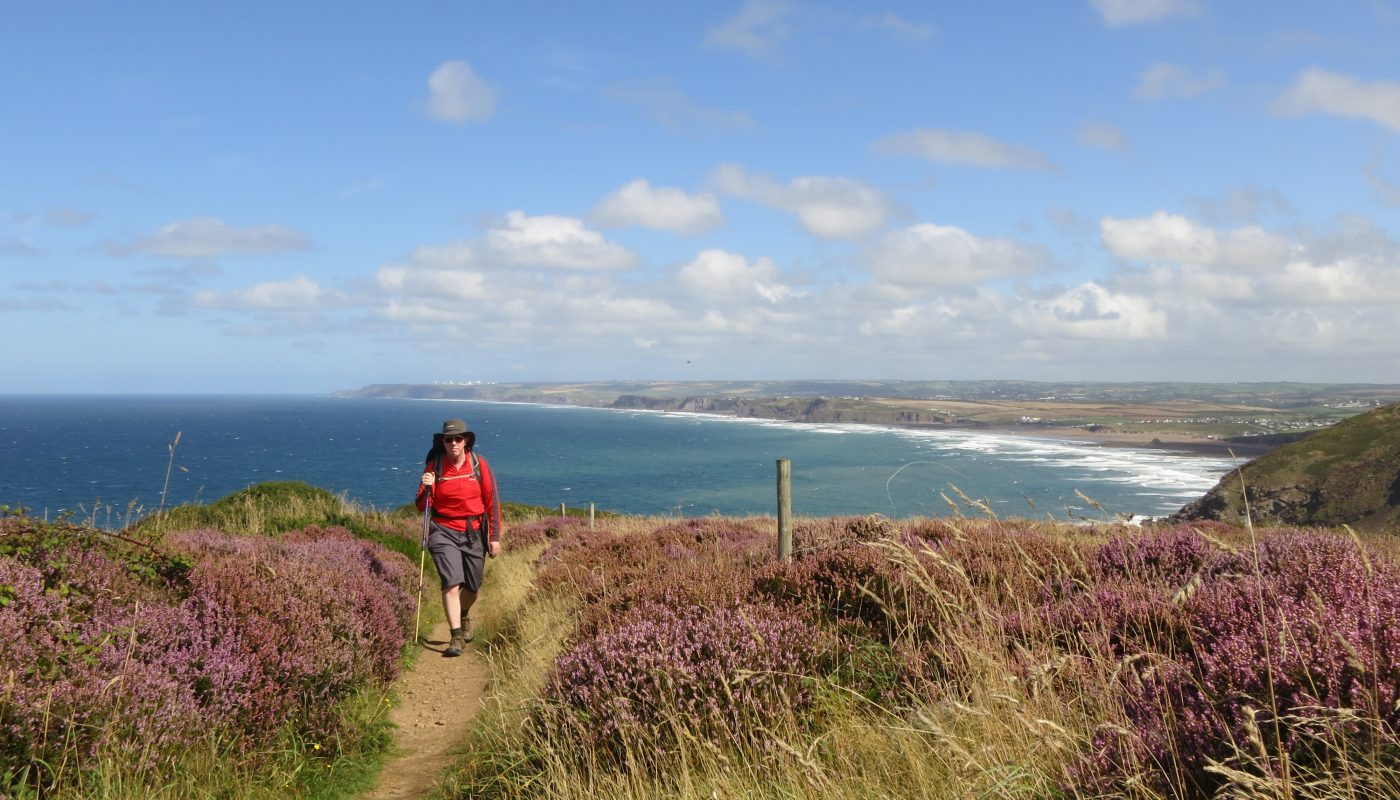
Around this point after about 4½ kilometres, I stopped for my first drink stop of the day, and changed from my short-sleeved tee-shirt into a long-sleeved top. I suspect the temperature was similar to yesterday but with a lot more wind it felt cooler. With the initial part of the day being a good deal easier than what was to come, I wasn’t building up much internal heat either, though no doubt that would change later. My knee hadn’t caused me any trouble after yesterday afternoon’s minor grumbles, though my shoulders were feeling slightly pinched by the straps of the rucksack – the chest strap is fractionally too short and I ought to have a look at a way of lengthening it before the bag is used again for extended periods. I do prefer it done up as the straps rest rather wide without it, but it isn’t quite right when done up.
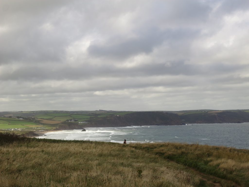
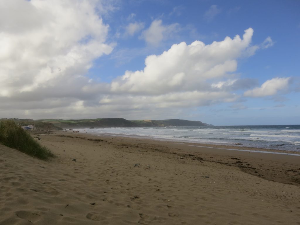
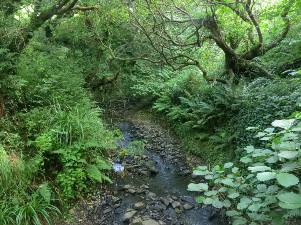
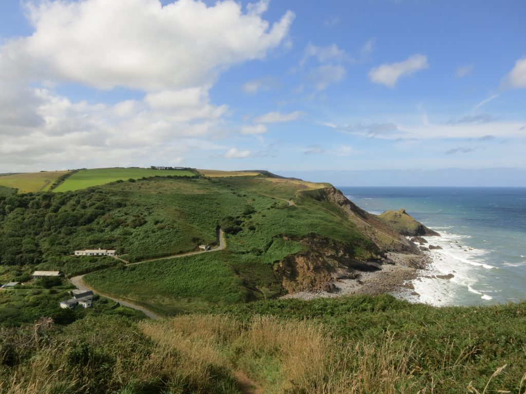
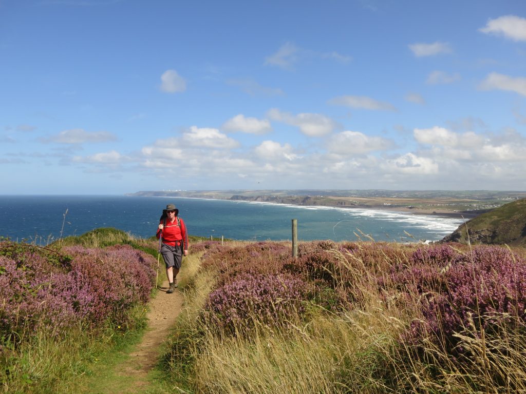
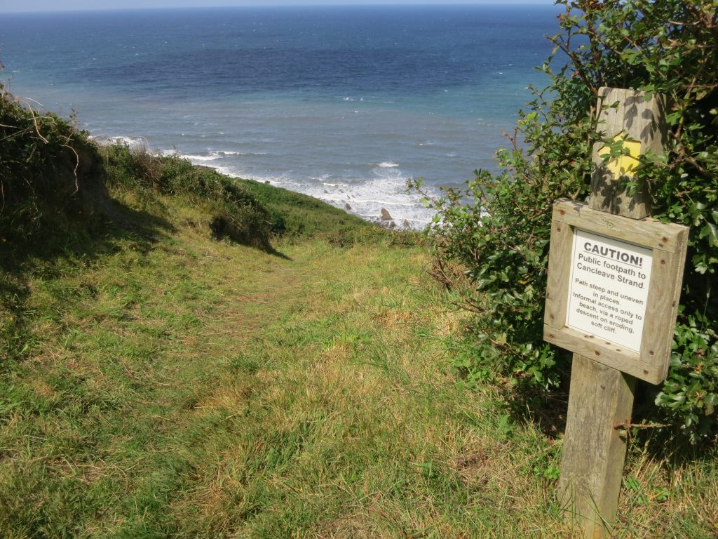
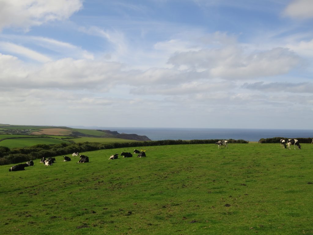
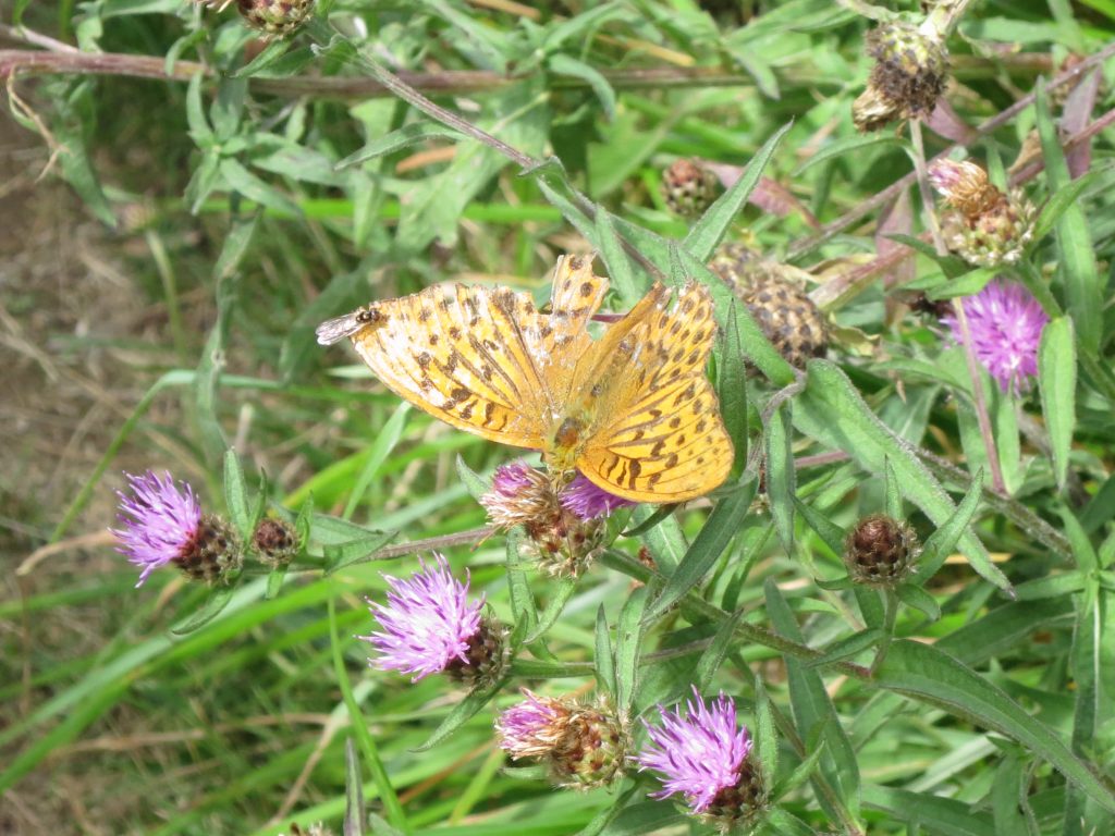
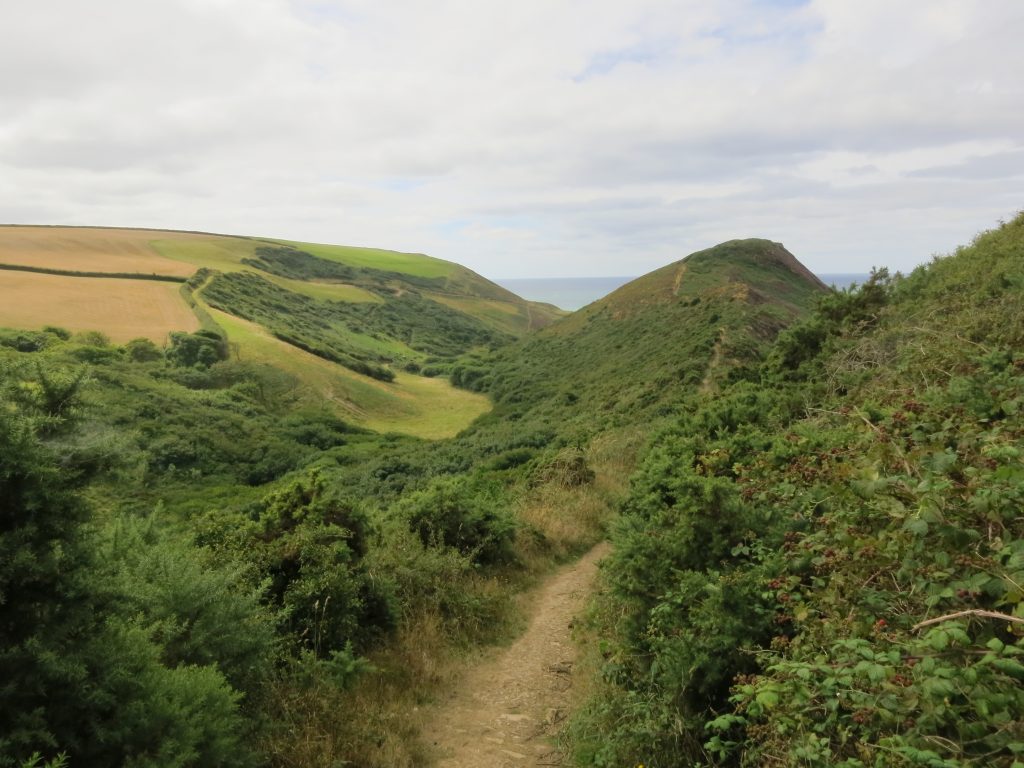
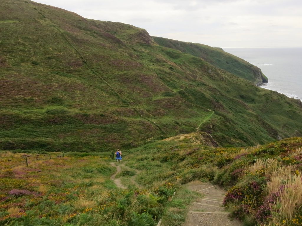
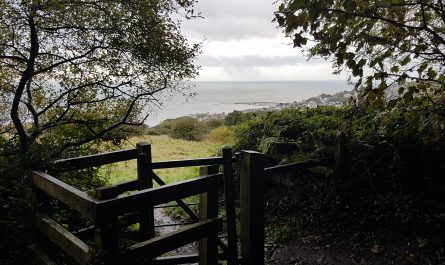
The beach at Widemouth Bay. The path descends to the beach but then cuts across the dunes to the rear of the beach and across several car parksRocks on the beach at Widemouth BayThe character of the path can change very quickly – from windy cliffs to beach to this quiet verdant glade within a few minutesThere was then a fairly steep descent down to the road before walking along the road back to the top of the next cliffsStriding out, with the view over Widemouth Bay behind meThe map called it Cleave Strand, the sign called it Cancleave Strand, but either way it looked a steep way down. On a shorter day of walking, it might have been a nice diversion, but for me it was onwards along the cliff topA dairy interludeIt has been a glorious summer for butterflies, and this weekend was no exception, with many basking in the sunshine on the path itself and flitting along in front of me before eventually making a break for the vegetation to the sideFrom Chipman Point there is a steep zig-zagging descent to the stream above Scrade, with impressive rocky beaches
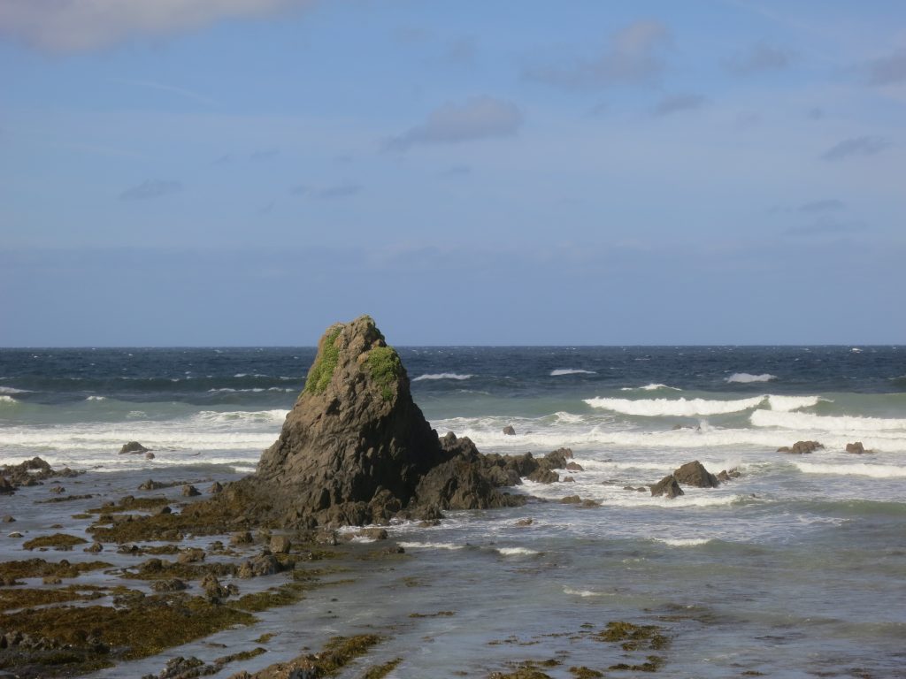
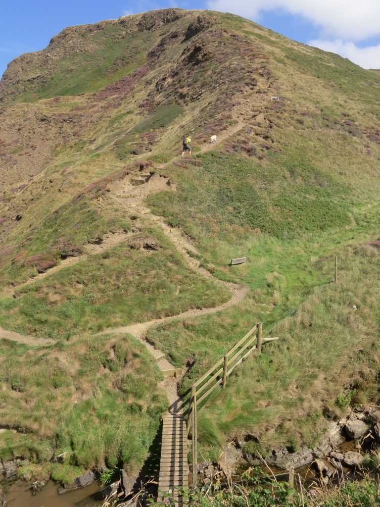
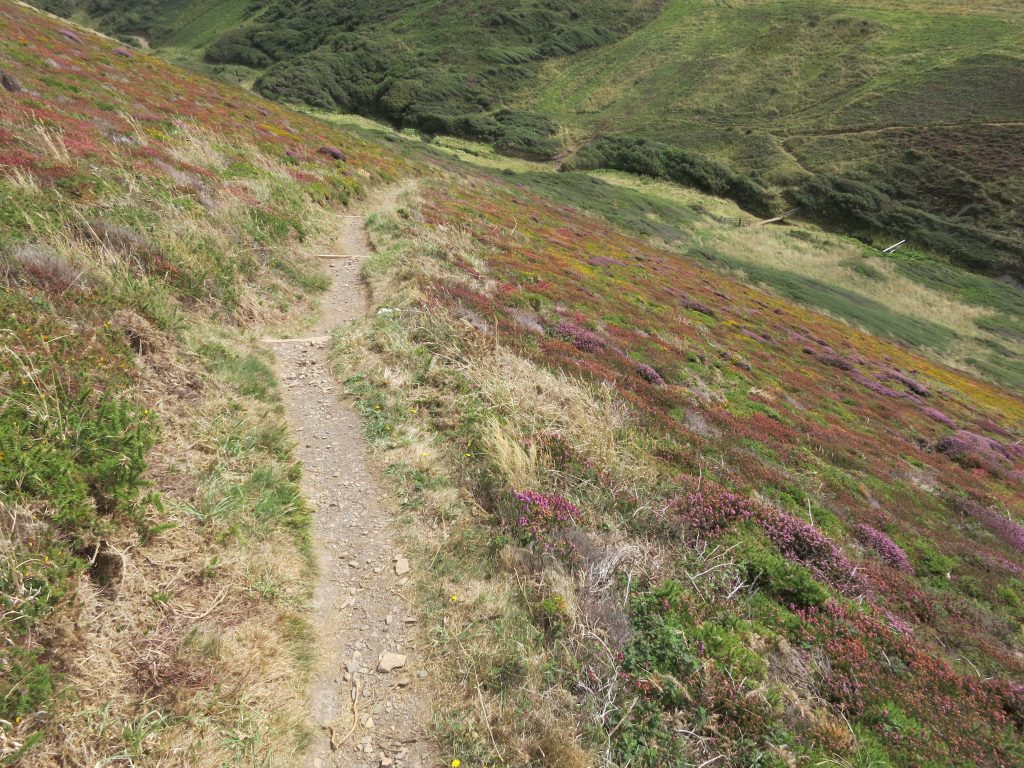
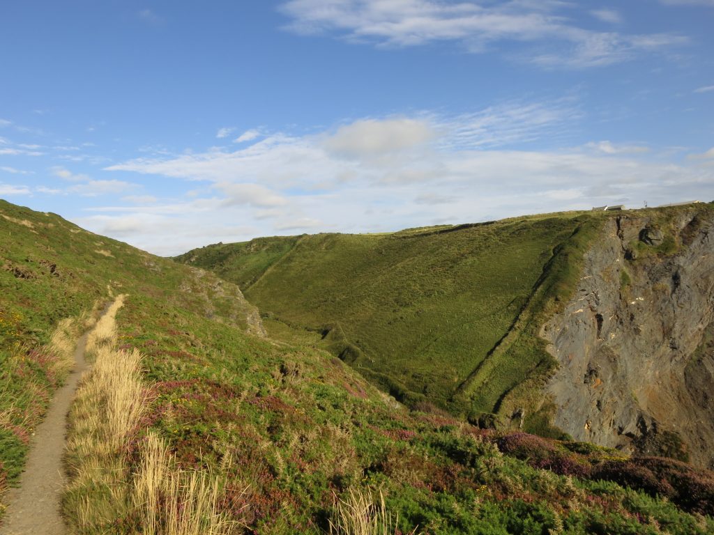
Looking back at the route just descended (left), and as is so often the case, the height lost has to be regained immediately (right).Approaching Castle Point, where the path ascends the ridge ahead……and then descends across the heather slope into the valleyYet another re-ascent and descent then brought me to the delightfully named Crackington Haven, where the Haven Café provided me with a drink and cake and a chance to rest my weary feet.The beach at Crackington Haven as I set off againLooking back over The Strangles to Samphire Rock and the sea arch.During the afternoon I was overtaken and then overtook repeatedly a couple of fellow walkers, who were going beyond Boscastle so clearly had a late finish ahead of them. When I stopped for my third lunch stop (or fourth if you count Crackington Haven) at the top of the imaginatively named High Cliff (the high point of the path in Cornwall) they over took me, but I overtook them again in the section beyond , in a section which my guidebook made a huge deal about hazards and tricky navigation, but which passed completely without incident and without the slightest difficulty of route-finding.
In the distance for much of today’s walk was a large structure on the horizon, the hotel at Tintagel. It didn’t seem to get any closer, but in a sense that didn’t matter as I wasn’t going there today, that was for tomorrow. The odd thing was that the top line of the building looked always as though it was sloping down towards the sea – presumably it wasn’t and it was a curious optical illusion.
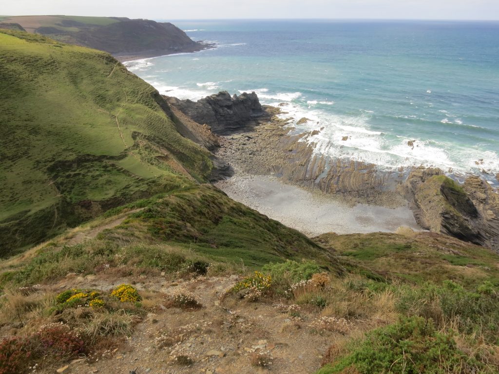
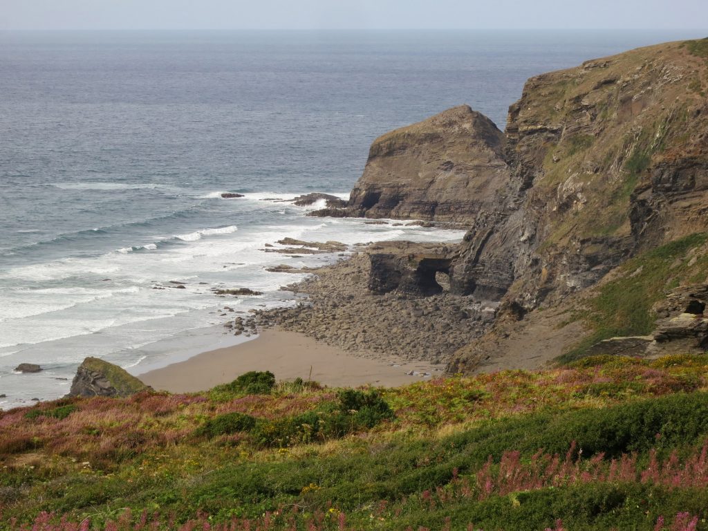
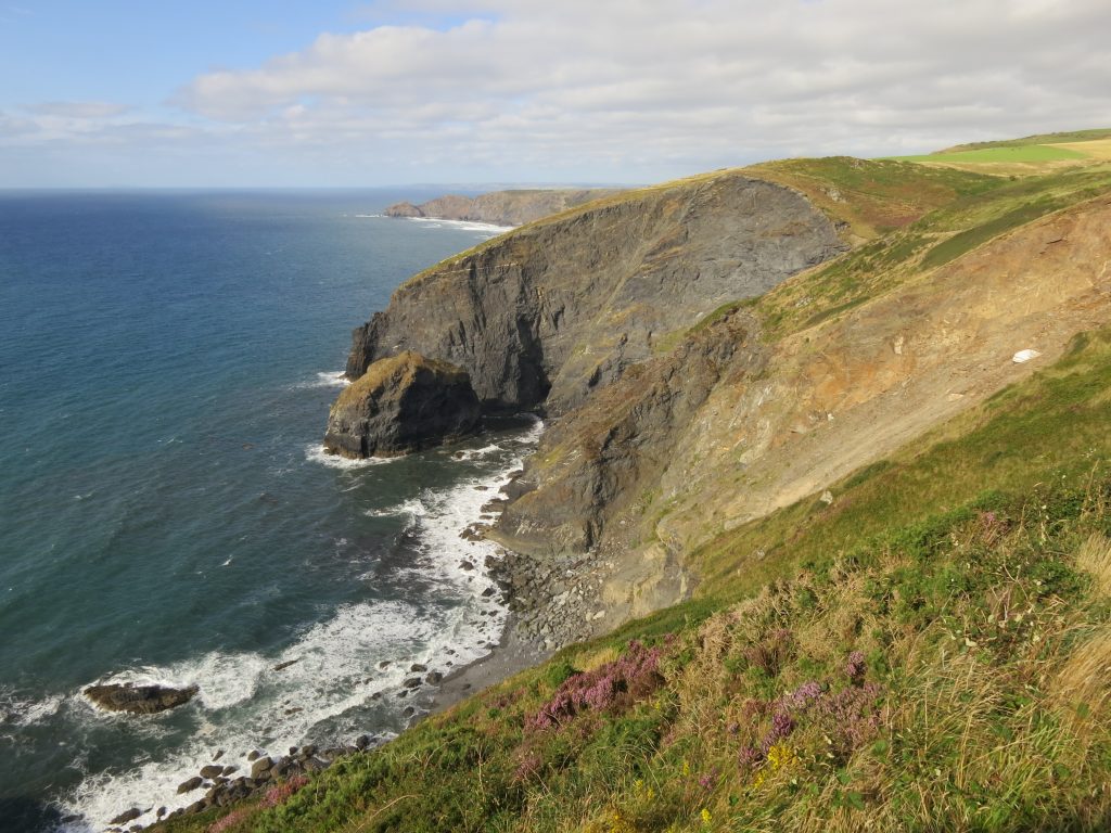
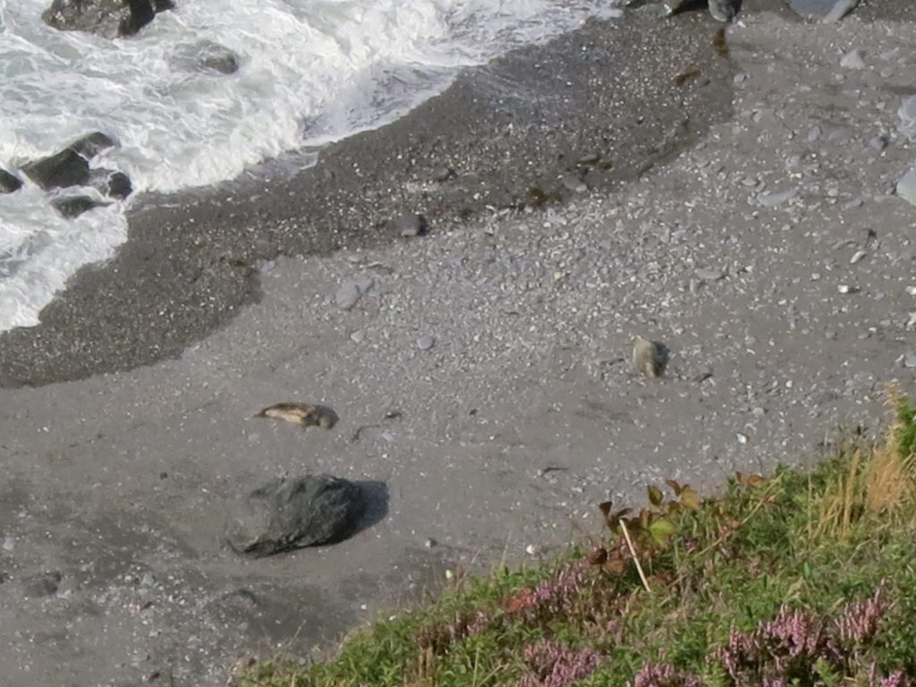
Looking down on Saddle Rock (bottom left) and the big Gull Rock (centre left), I was pleased to spot a couple of seals on the beach, not bad considering they were 160 metres below me and 500 metres away.Zooming in, those seals on the beach.
Although it doesn’t show up well in the photo above including Gull Rock, in the far distance I could also see yesterday afternoon’s radio dishes, and beyond them the lighthouse at Hartland Point, two days of walking ago. Ahead of me for much of the afternoon I could see the huge structure of the hotel at Tintagel, a feature for tomorrow morning.
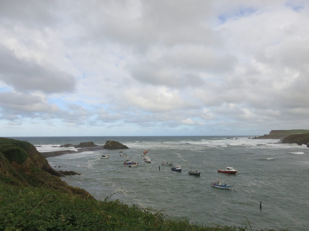
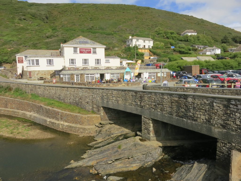
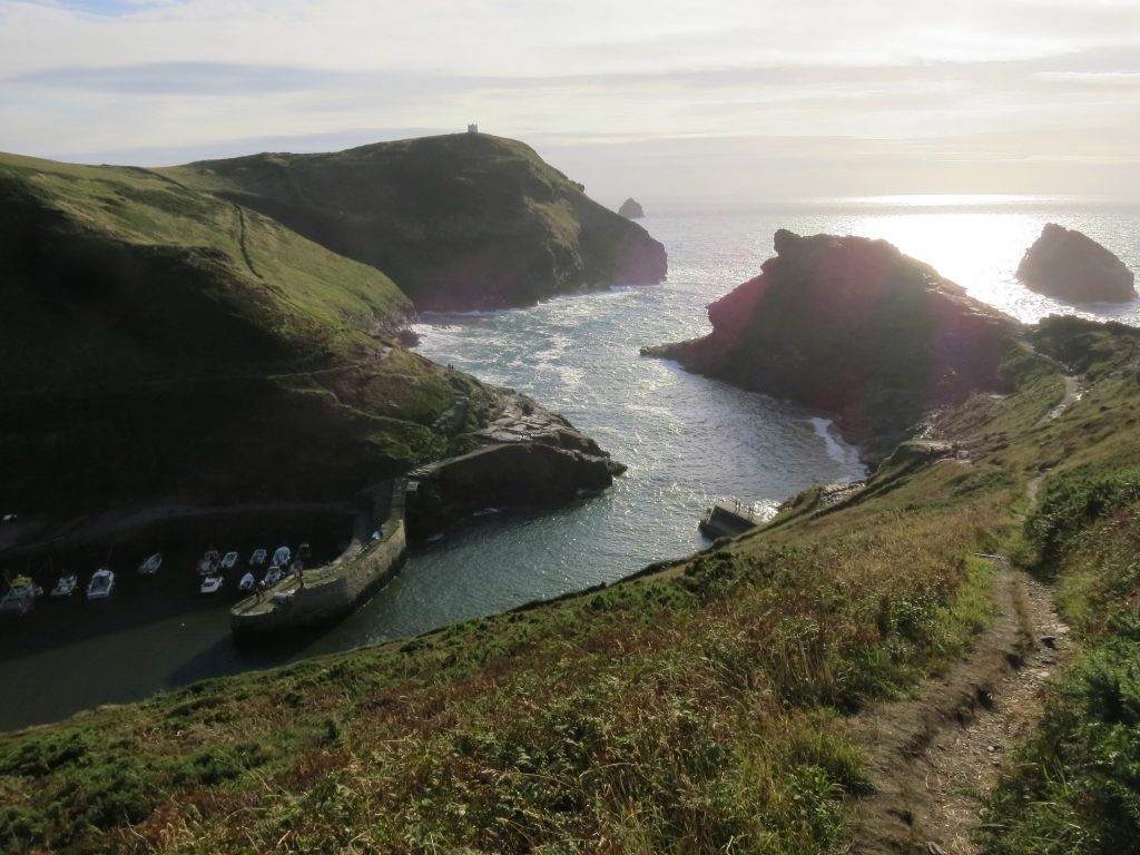
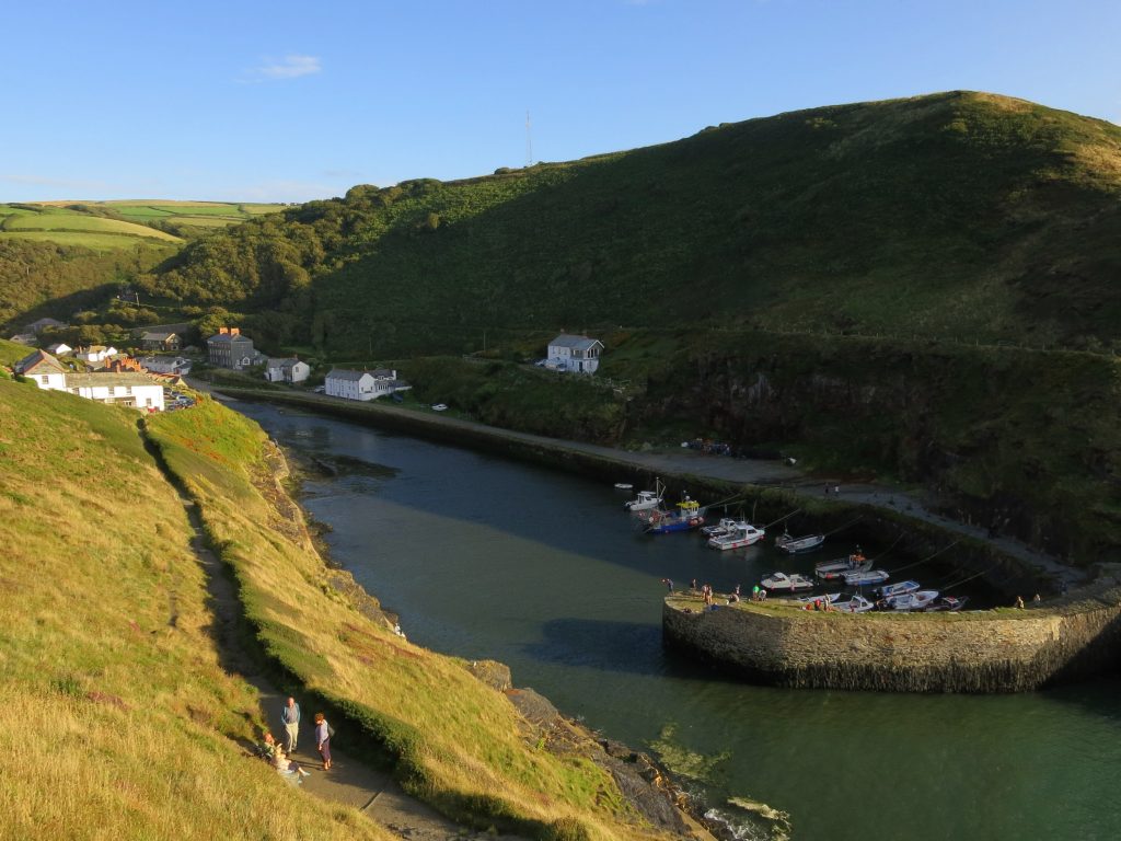
South of Fire Beacon Point, I began to wonder about my policy of wearing shorts for this walk, as there was a lot of pushing through heather and other woody vegetation – not a big deal for a short distance but cumulatively quite scratchy on the lower legs. I always had the option of putting on my waterproof trousers to protect my legs, but on a such a warm and sunny day I didn’t want to do that if I could avoid it. Eventually the vegetation changed as I turned inland to cross this minor hanging valley, with another descent and ascent, but the last of the day.The last mile or so along the cliff tops was a lovely early evening walk, but I was pretty tired by now, and this was the view I had been yearning for, the mouth of Boscastle Harbour – a grand view in its own right, but also my final descent of the day and the bed was almost within sight.Isn’t that a lovely location – it would have been quite a challenge to get into in a sailing boat in strong winds or when the sea is up, I should think.The tidal harbour gives way to the small river which wrought so much destruction on Boscastle in the floods of 2004. Ahead is the Riverside Hotel, my resting place for the night after over 9½ hours since I left the hotel in Bude.
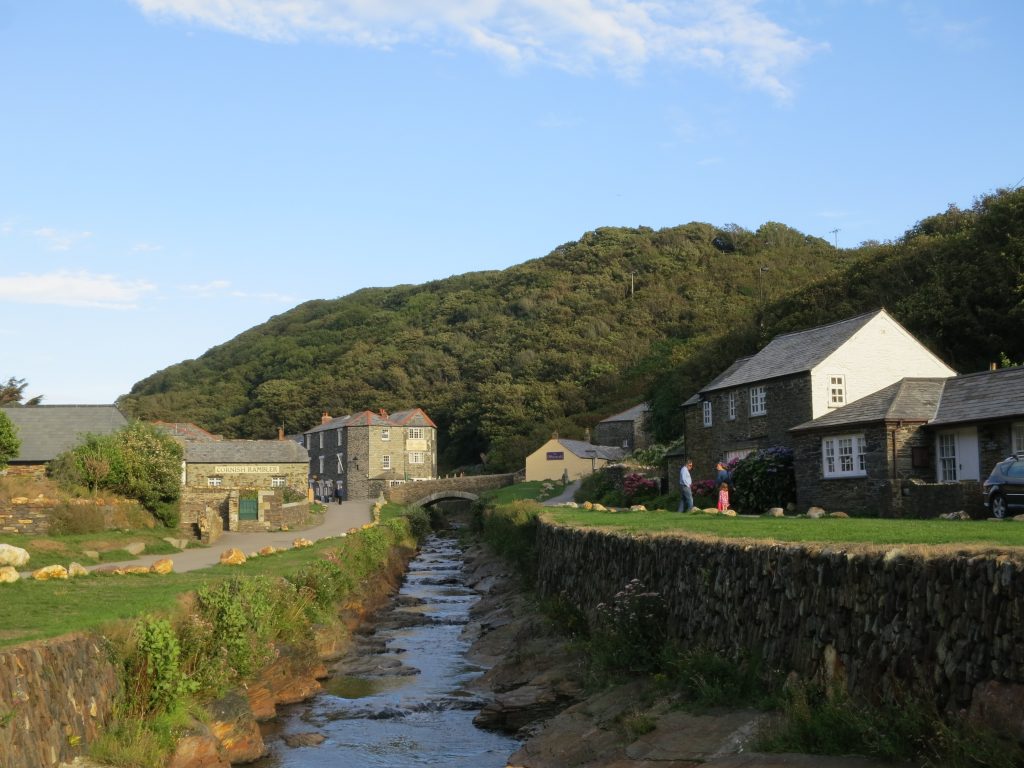
I got myself checked in and rested for a while, used the shower to change the colour of my lower legs from a deep brown to their usual pale colour. Often finding suitable evening food can be a little challenging, as the catering trade seems determined to offer big expensive meals in the evening rather than the lighter fare on offer at lunchtime, but Boscastle had a good variety to suit all desires, and I found a decent café-pizzeria where I had an enjoyable meal, got a few provisions from the local shop, and went to bed.

 by
by