 by
by In which: the weather is filthy ● I reach the farthest west ● the weather improves ● the cliff scenery is excellent ● I see the Lizard and the Scillies ● I visit the Telegraph Museum
Date: 23 March 2008
Time of walk: 0905 to 1445
Today’s walking: 19.6 km
Progress along SWCP: 16.2 km
Estimated ascent: 950 metres
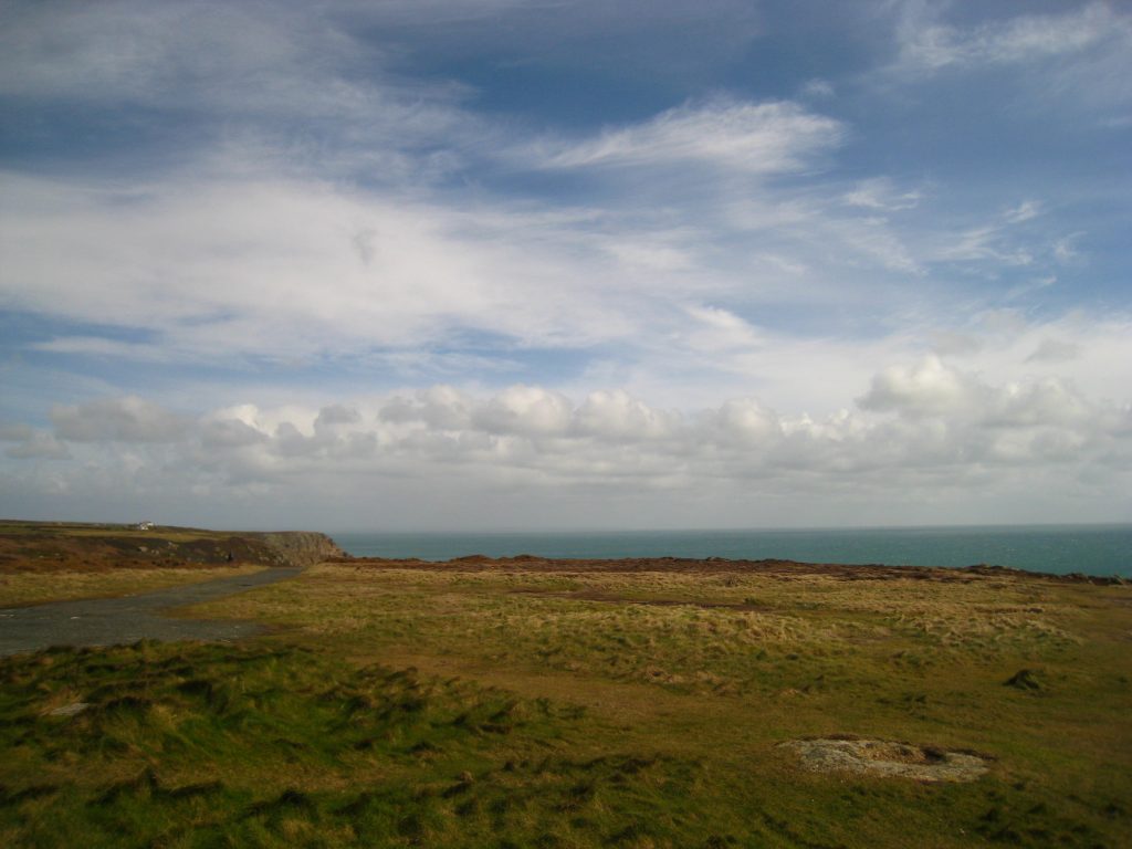
I returned to the Cot Valley and the sea by a different route from last night. The weather, which had seemed light rain in St Just seemed fiercely windy rain when I reached the coast. Very probably there was no more moisture, just it was moving at 40 mph rather than 10 mph. With short breaks, the rain continued for the first three hours of the morning.
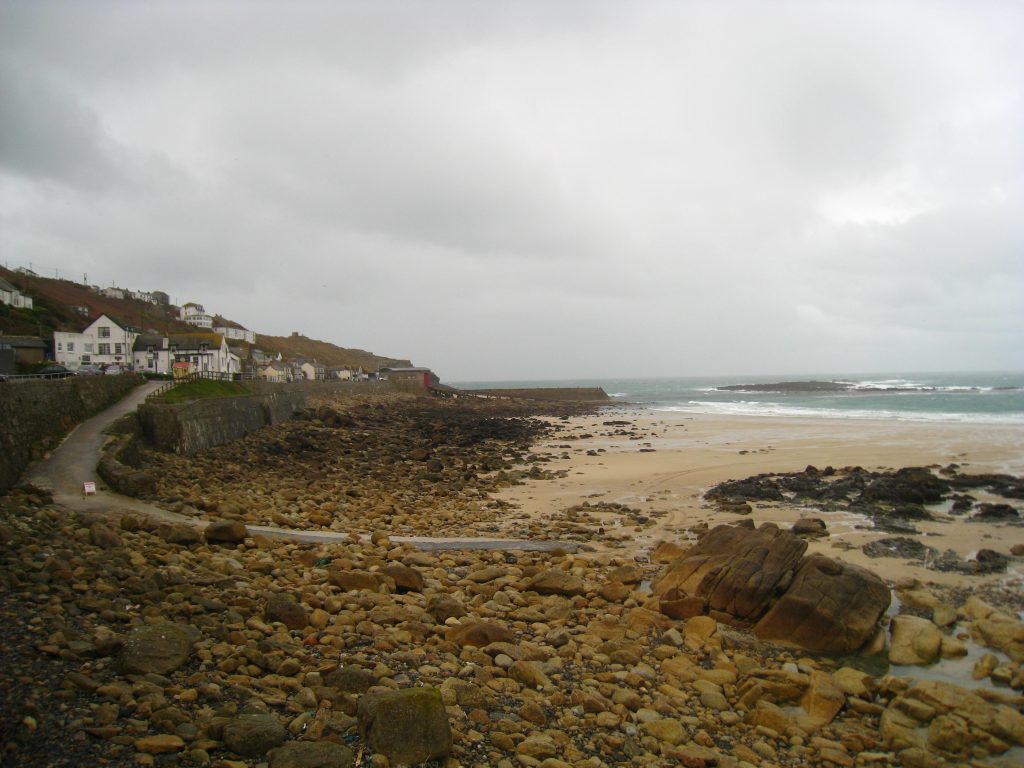
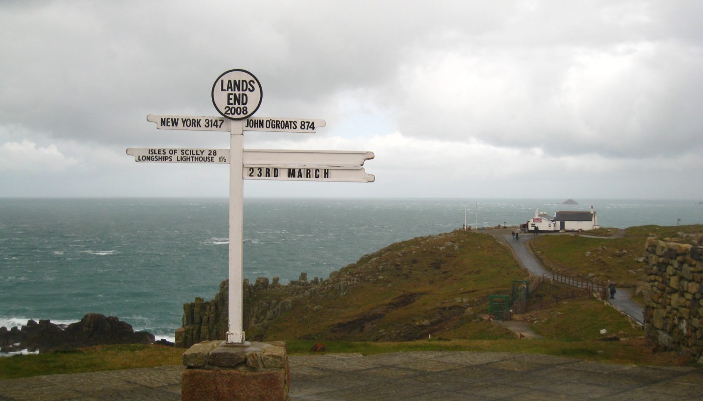
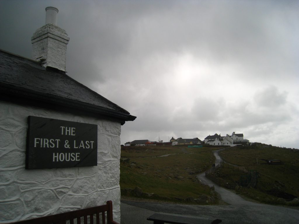
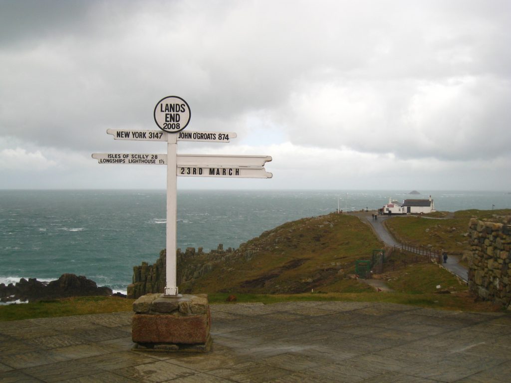
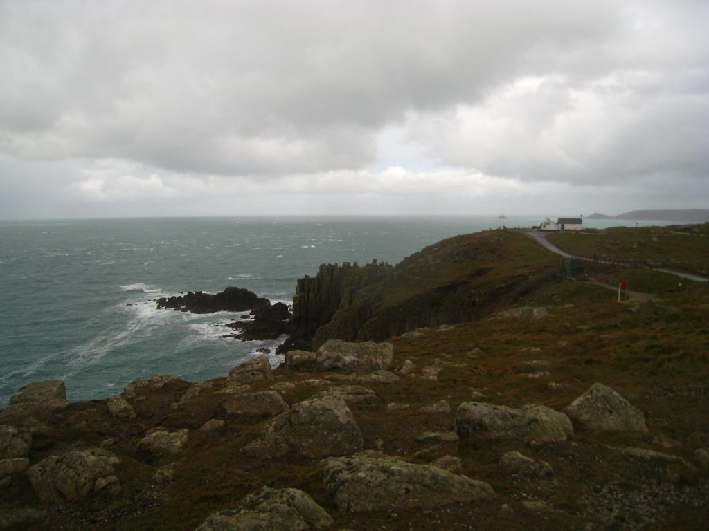
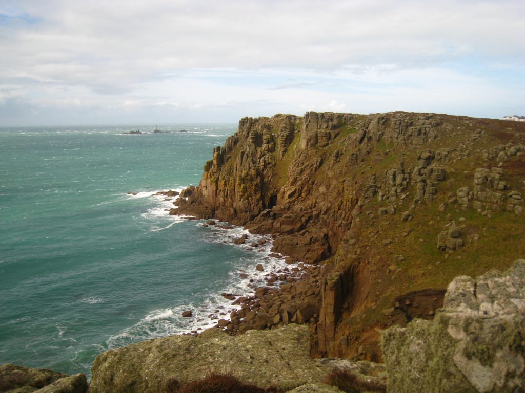
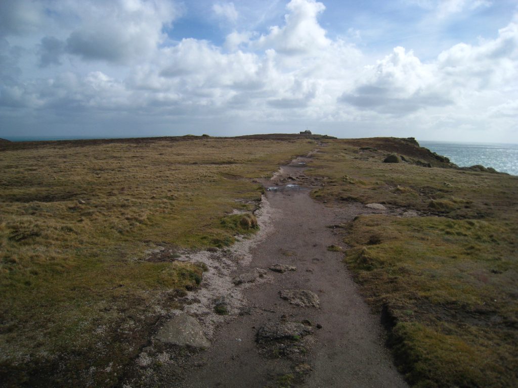
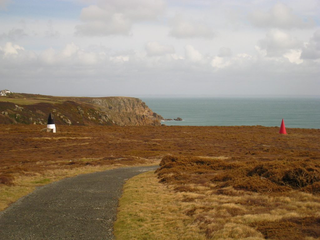
Most of the morning’s walk had Longships Lighthouse in view, and with it Dr Syntax’s Head, more generally known as Land’s End. I reached there at 11.15 in driving rain. There were a few hardy souls about, but it wasn’t quite the tourist hotspot that I am sure it is in better weather and later in the year. In one sense it was remarkable to be as far west on the English mainland as one can go, that my gradually westward-trending steps of the last two and a half days had now to turn the corner and take me eastwards again, but it was after all just another headland, and not the most spectacular one by some margin. Take away the lighthouse and it would become even tamer. I definitely preferred Cape Cornwall.
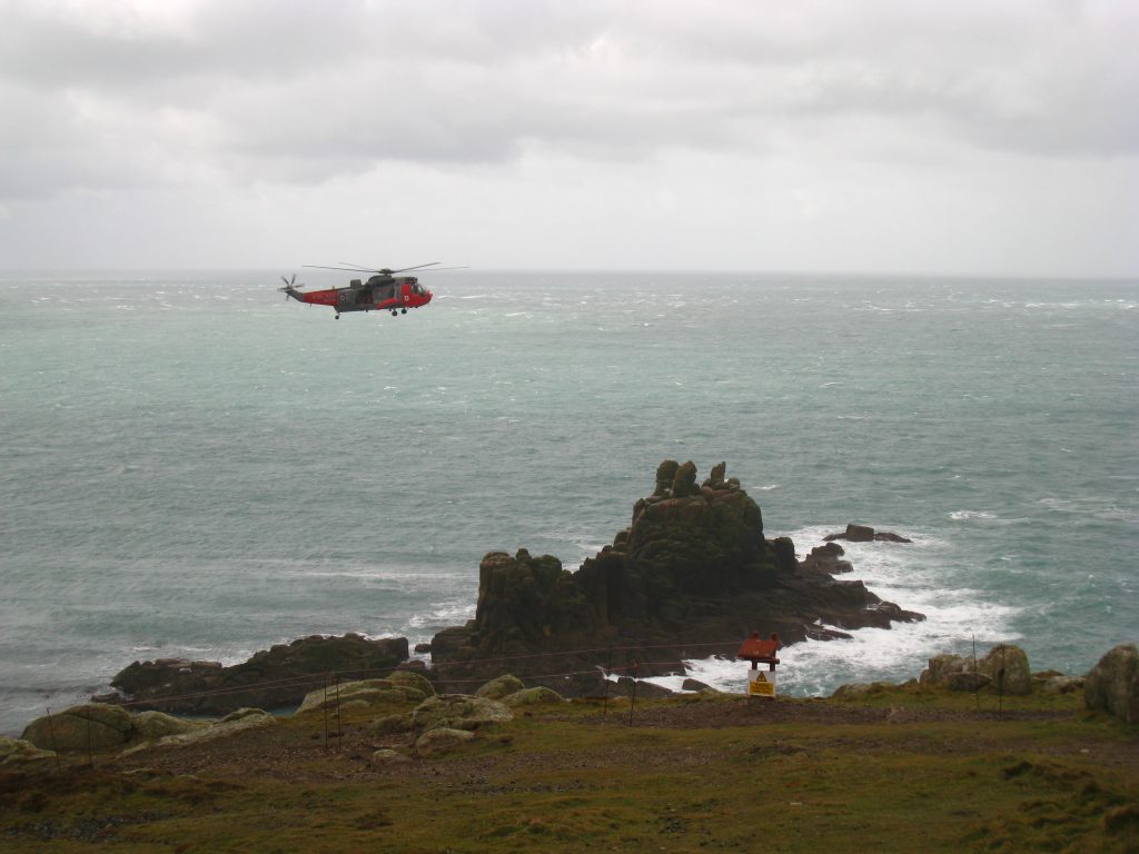
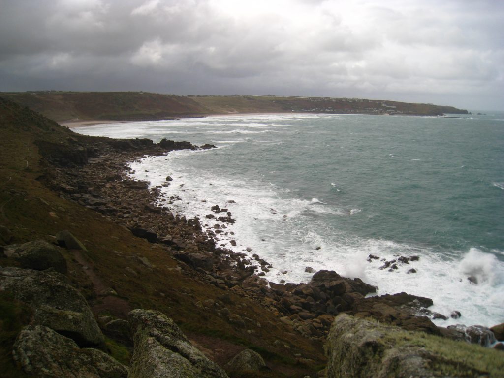
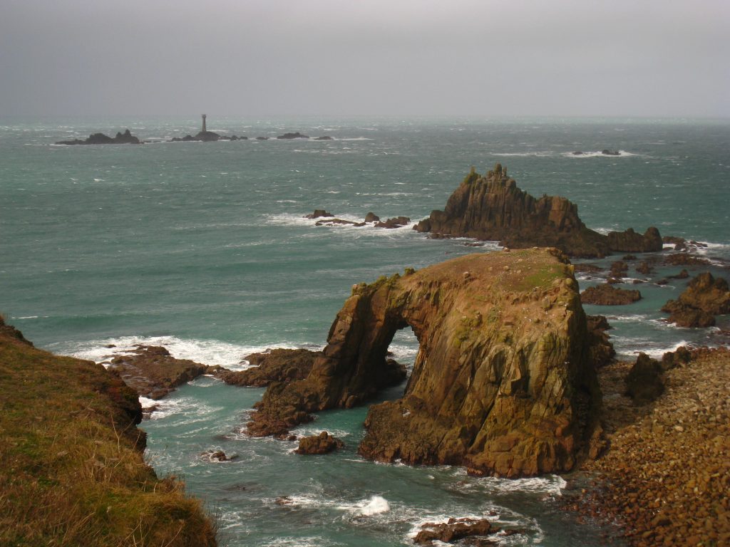
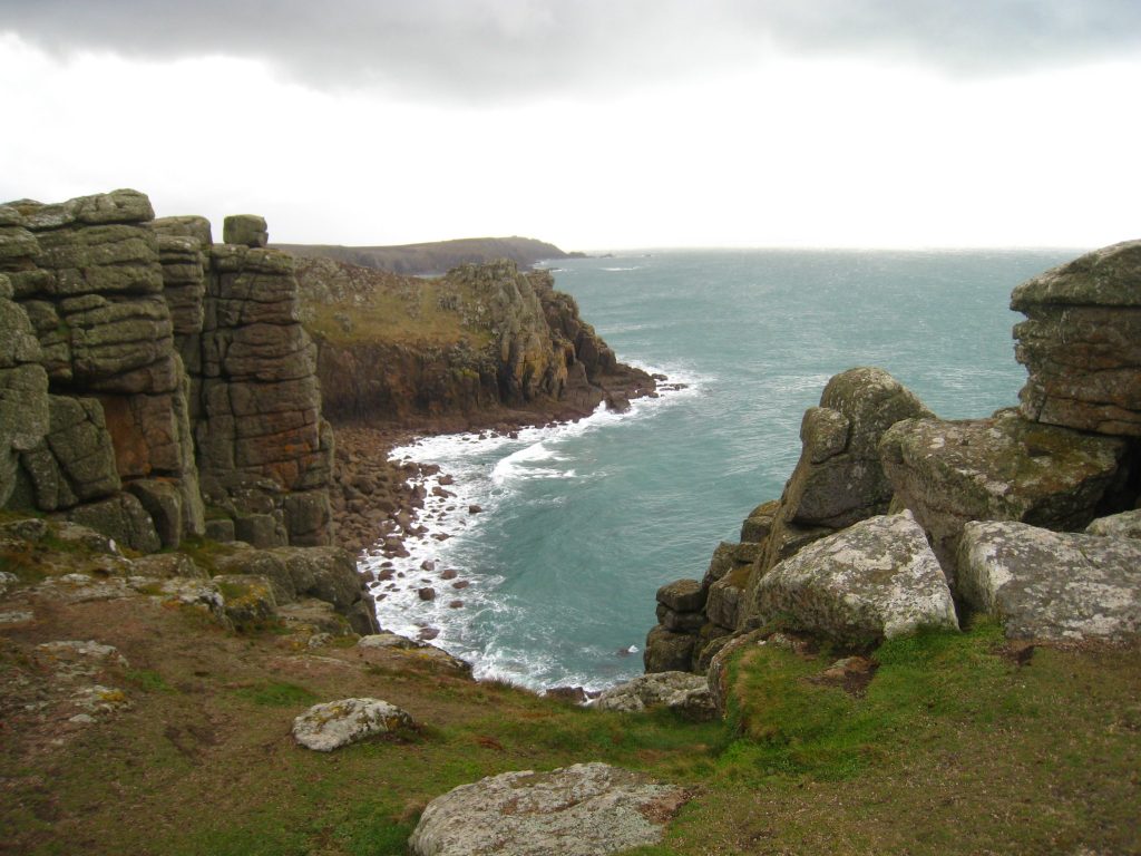
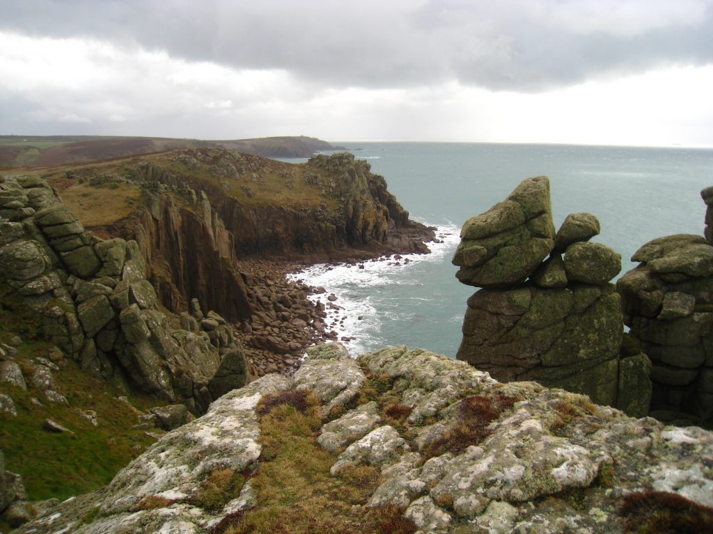
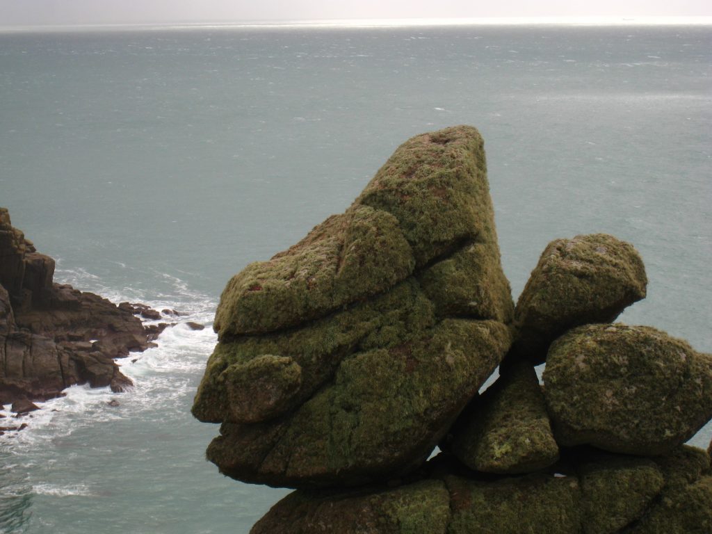
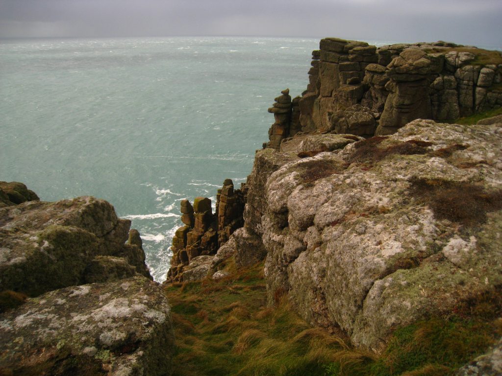
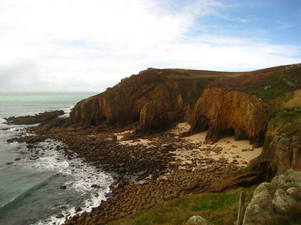
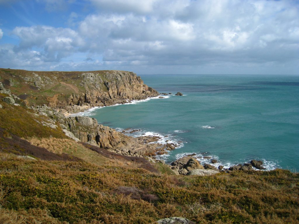
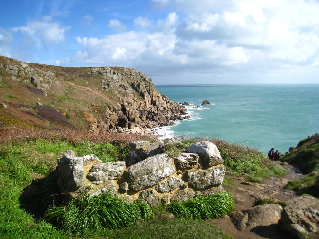
And I also preferred the cliff scenery to the south of Land’s End. To the east of Enys Dodnan there is a great view of the rocky arch of the Armed Knight. At that point, the official and waymarked route of the SWCP takes an unaccountable short cut, but fortunately I followed the advice of my guidebook and took the coastal route around Pordenack Point and Carn Boel. The cliff scenery here was sublime. It helped that suddenly the rain stopped and the sun came out, but nevertheless this should not be missed. It wasn’t as though the extra distance was particularly significant, nor did it entail any extra up and down, nor was there any great exposure. It is Open Access land (presumably owned by the National Trust) so there is even less reason than otherwise to sign people away from these delights.
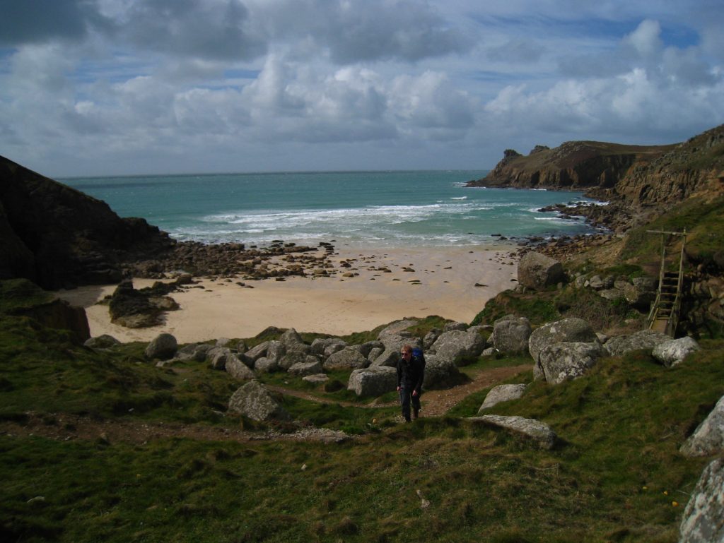
I stopped above Mill Bay and leant against a rock for my first lunch stop. I removed my waterproof trousers, waterproof coat, gloves and hat, and for the first time put on my sunglasses and even applied some sun protection spray.
Yesterday my boots developed a remarkable knack of manufacturing grit, which seemed to get into them at a prodigious rate. I was even thinking of selling them to Tarmac, who could save a small fortune by not having to dig aggregates out of the ground. This morning they had behaved themselves, but after lunch the problem started again – perhaps the rain was suppressing the grit somehow.
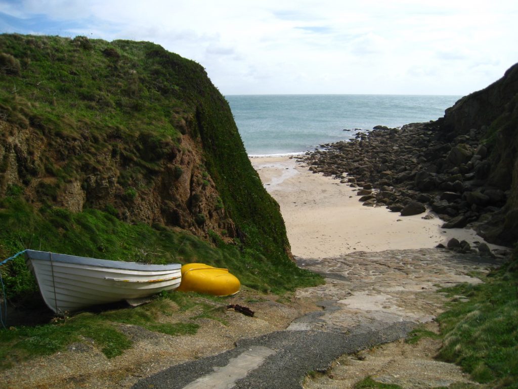
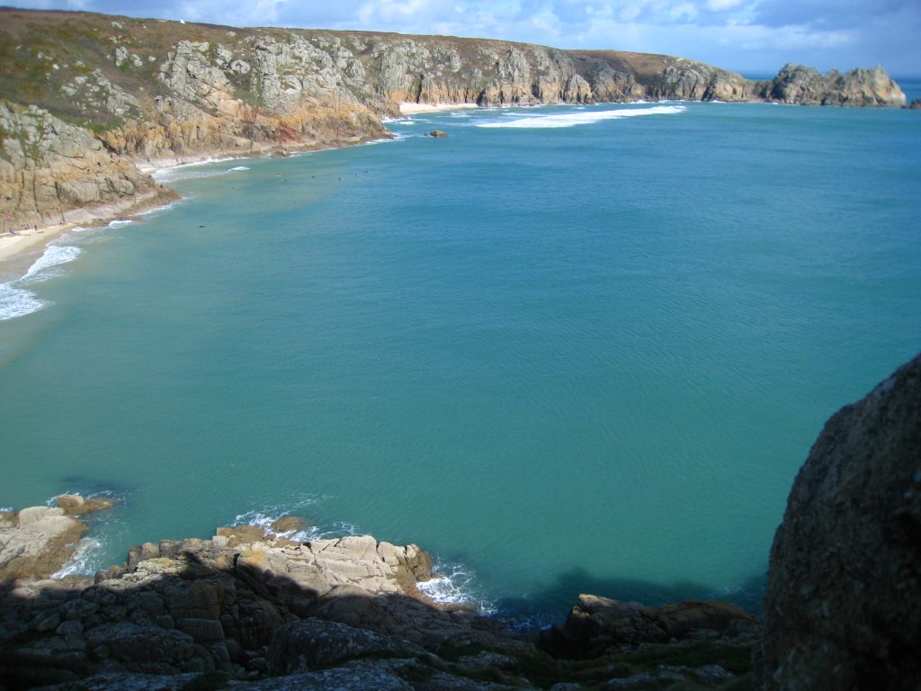
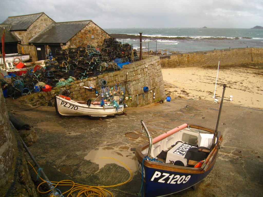
It was a very steep descent from Minack Point down to the beach of Porth Curno, but safely negotiated I walked into the village. I was there at 2.35pm: I checked that the cafe would still be open later, arranged my lift back to St Just, then visited the fascinating Telegraph Museum. This tells the story of the important part Porthcurno played in the British worldwide telegraph network, and was an interesting visit.
My lift back to St Just arrived promptly, and once back at the hotel I discovered that guests could have wireless Internet access, which was good news. I had an excellent toasted sandwich at a pub across the square.