Lake District 2 - Whit Fell
9 May 2004
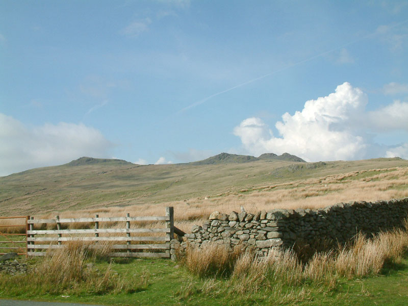
From the summit of the Corney Fell road, Stephen, George and Henry crossed the
summits of Buck Barrow and Burn Moor to the little known height of Whitfell
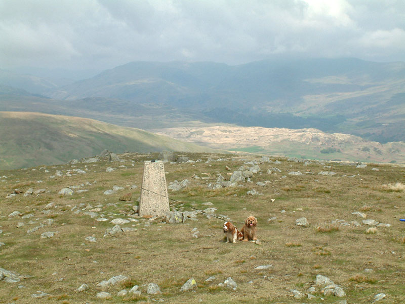
Henry and George at the trig point on Whitfell (573m / 1880ft), looking north up
the valley of the Duddon to the Coniston Fells
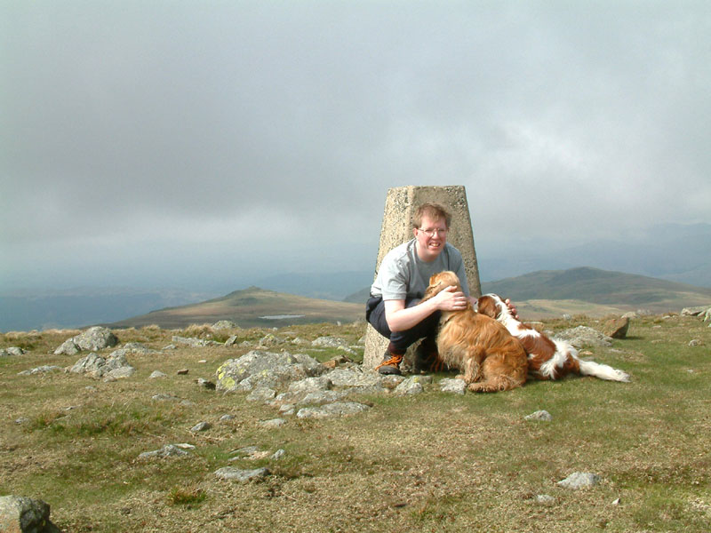
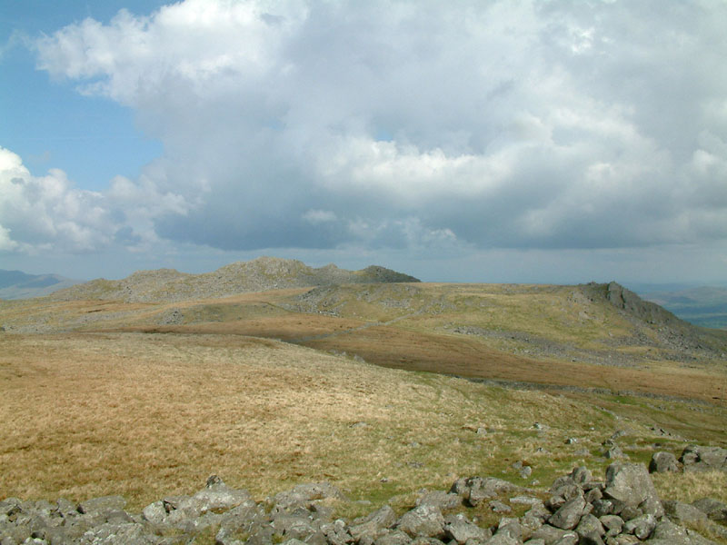
Stephen and the dogs, looking north to more of the summits of the Corney Fell
massif
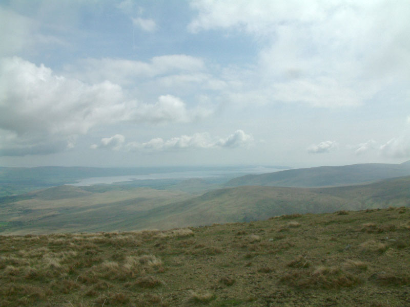
Looking south-east to the estuary of the Duddon
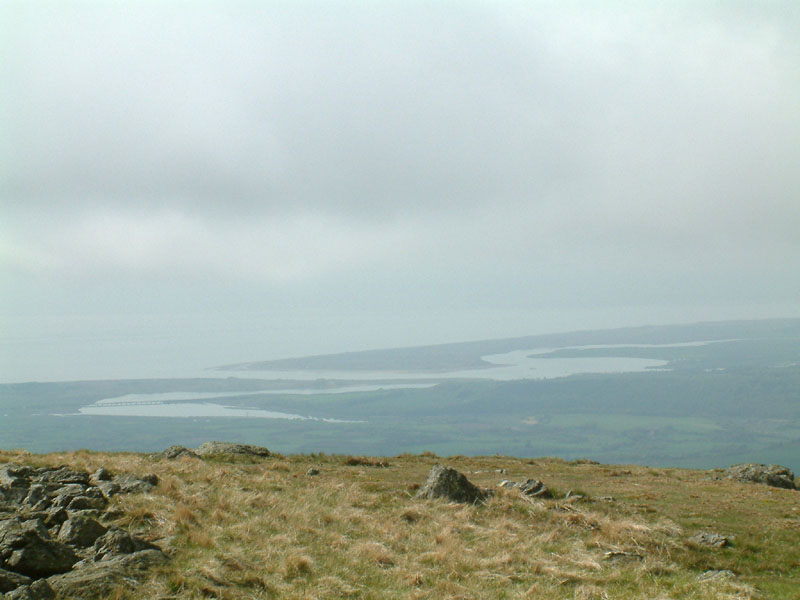
And north-west to the estuary of the Mite, Esk and Irt

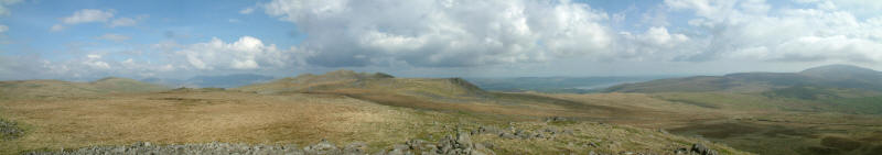
A panoramic view from south-east to north-west with the impressive cairn on the
summit of Whit Fell
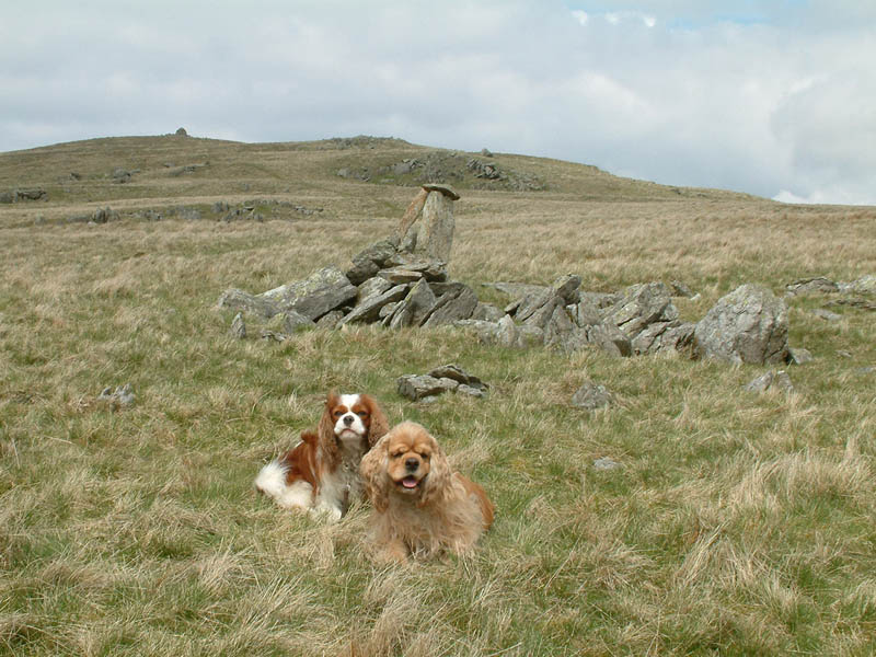
Henry and George by the "Pile of Stones" shown on the map, helping to mark the
boundary between the parishes of Waberthwaite and Ulpha, with the cairn on
Whitfell behind
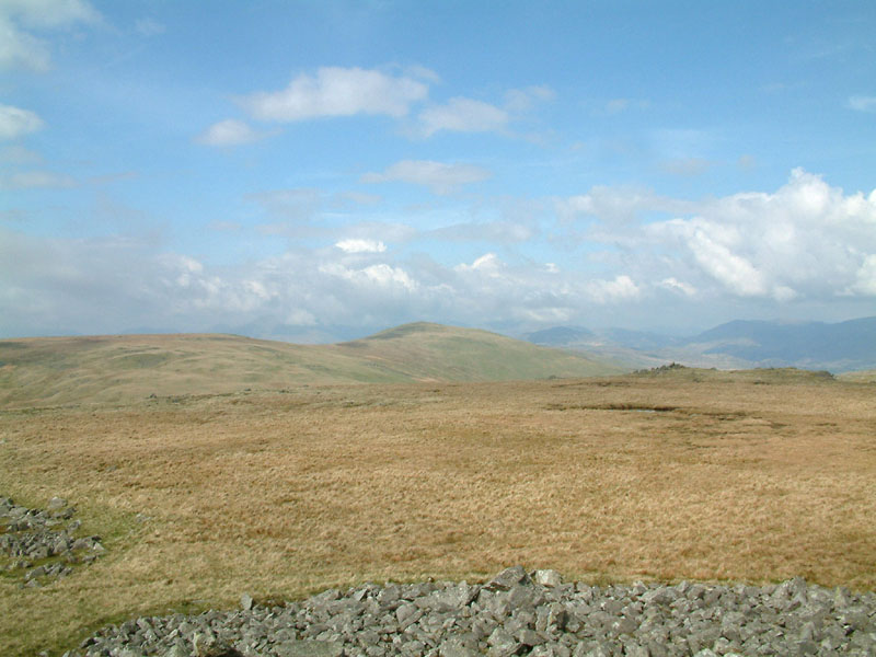
From the summit of Kinmont Buck Barrow, looking to the flat summit of Burn Moor
and Whitfell, with the Duddon Valley right
From Kintmont Buck Barrow to Buck Barrow
A panoramic view to the east from the summit of Kinmont Buck Barrow
Kinmont Buck Barrow and Buck Barrow from the road summit
|

