Lake District:
Ravenglass and River Esk - Cumbria Coastal Way & Walls Castle
26 August 2005

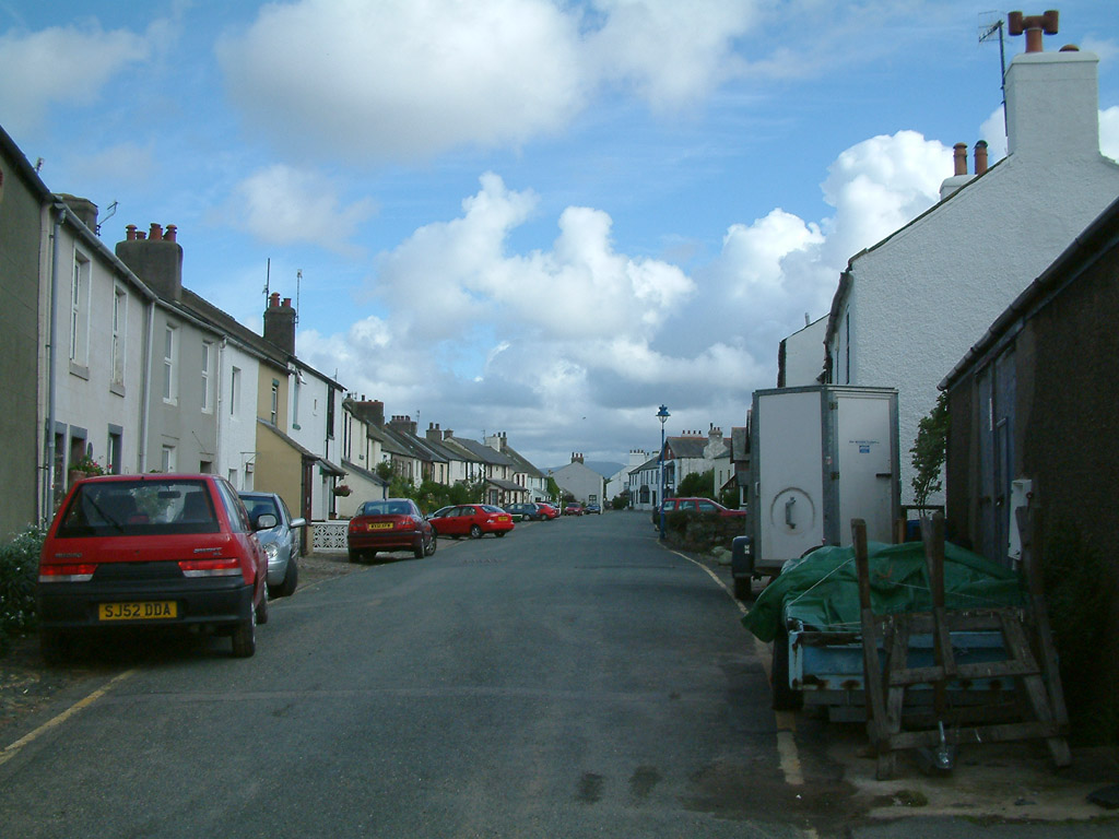
Main Street in Ravenglass
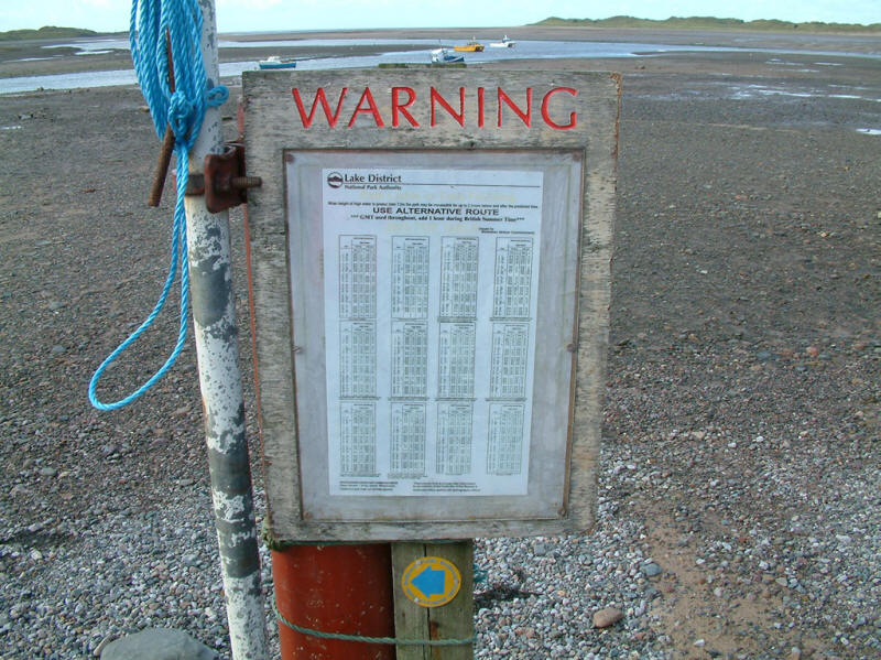
Turning the other way, a notice board marks the start of our footpath, part of
the Cumbria Coastal Way. The notice warns that the path is submerged at high
tides - it may be impassable for up to 2 hours either side of high tide if the
tide reaches 7.2m or more. However, we are here near low water, and there is no
such problem.

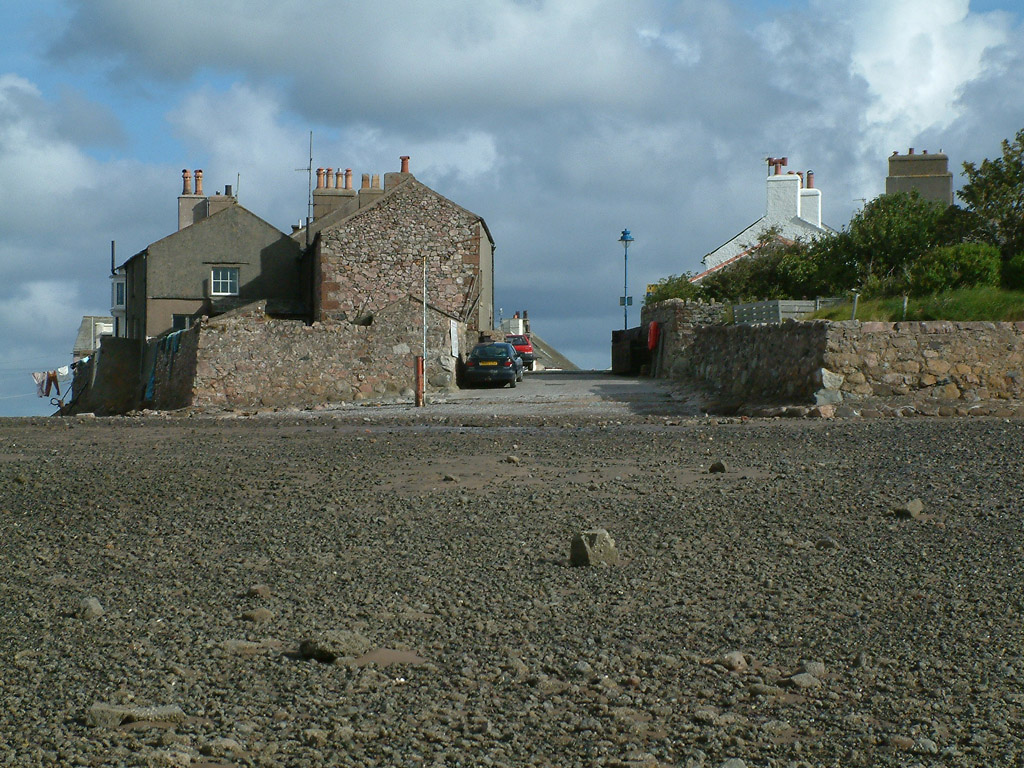
Looking up at the end of Main Street - a rather unusual end to a road

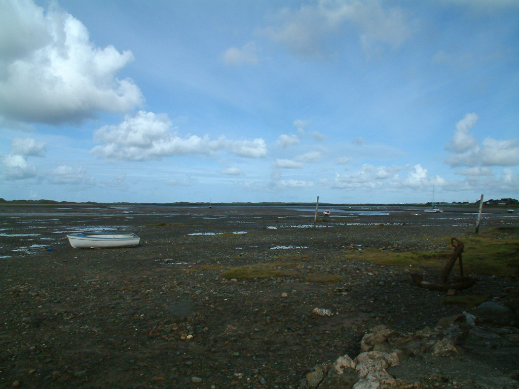
Looking across the mud to the meetings point of the rivers Esk, Irt and Mite

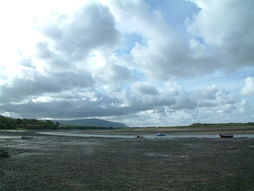
Looking upstream along the Esk, with the dark shape of Black Combe looming over
the scene

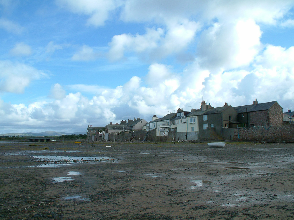
The houses of Main Street back straight onto the estuary
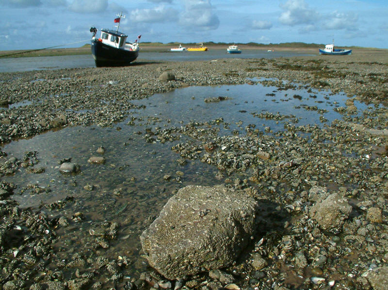
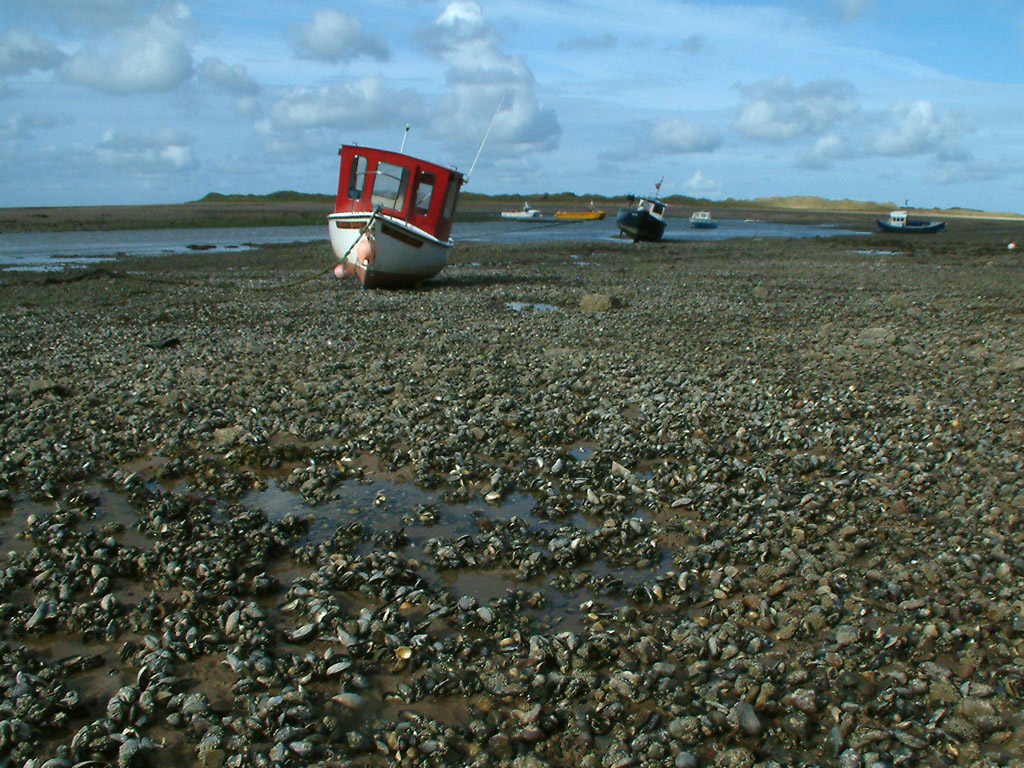
Fishing boats

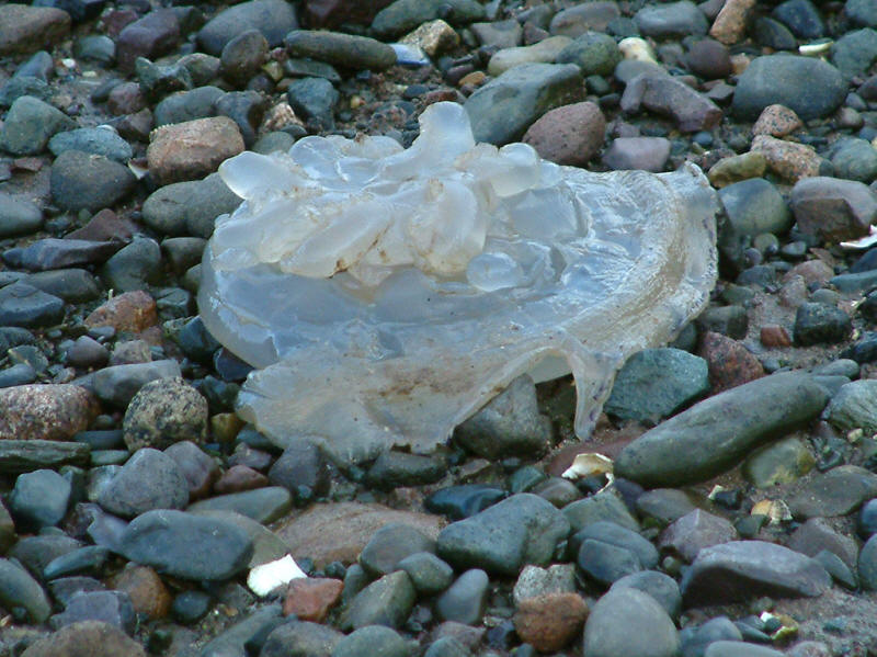
An unexpected hazard of this walk was jelly fish on the path
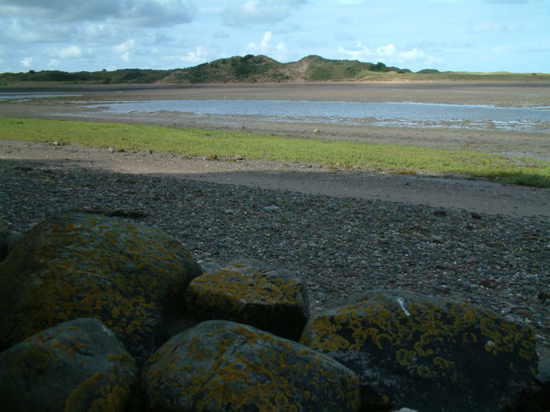
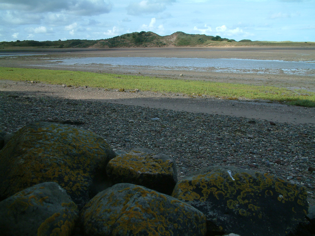
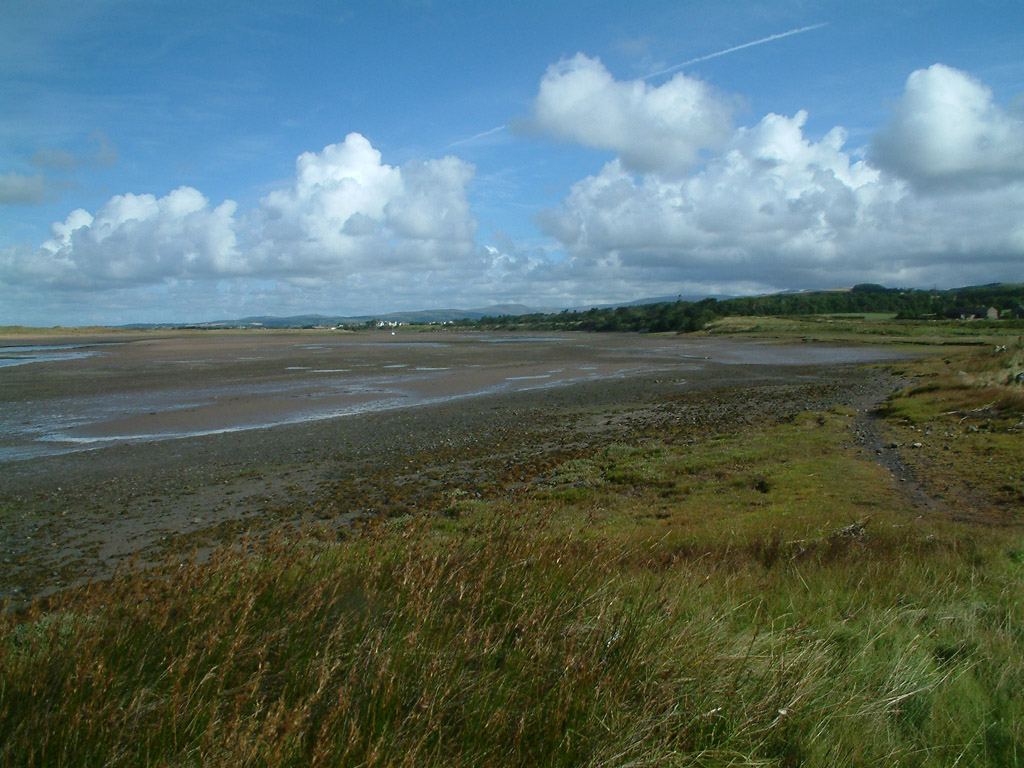
Looking across the Esk to the sand-dunes of Eskmeals
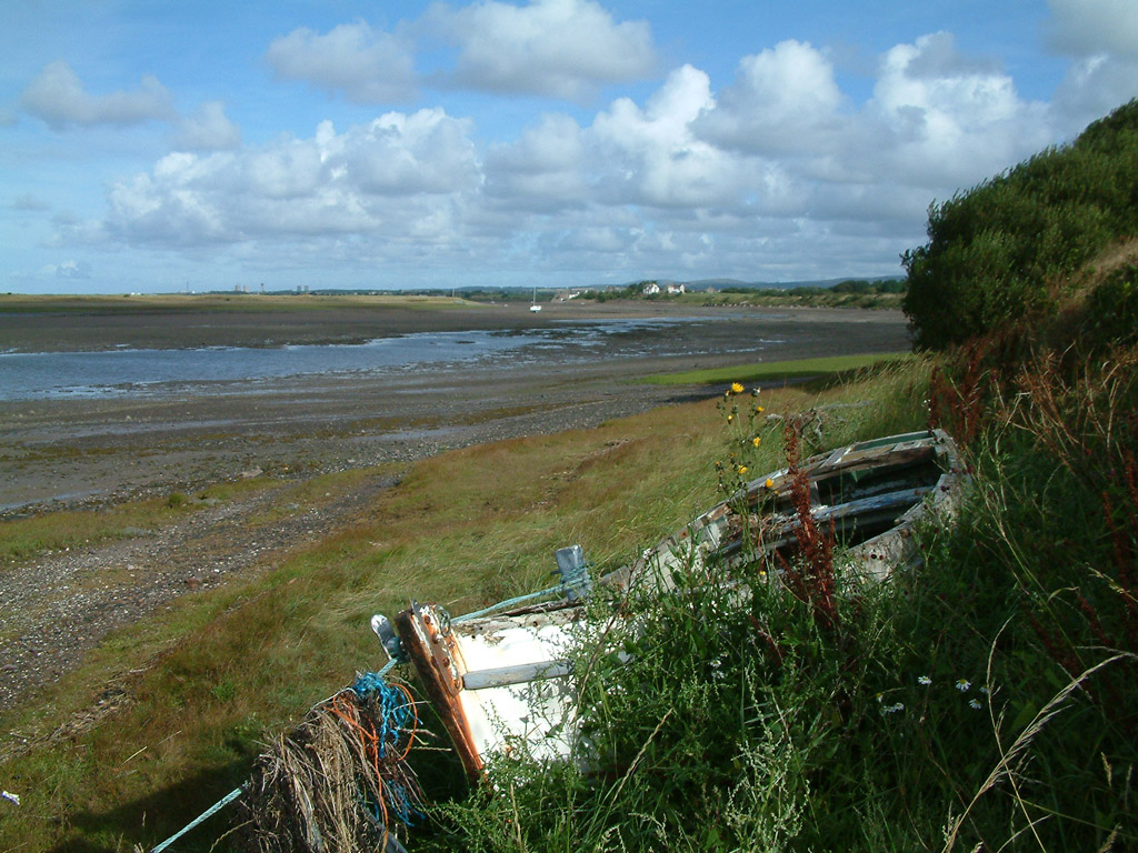
A view back towards Ravenglass

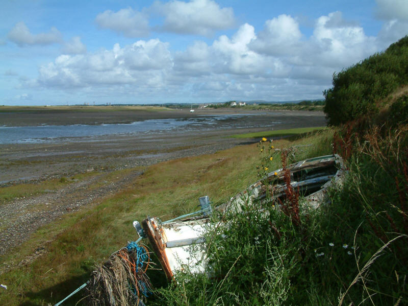
The tidal path can be seen on the right

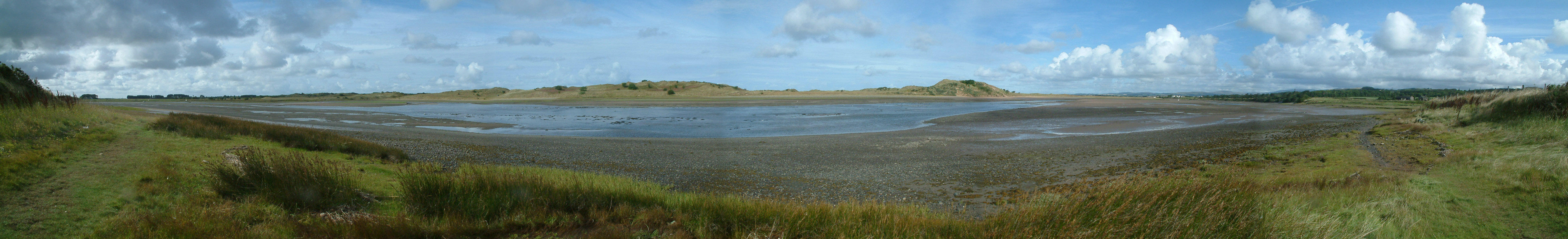
A panoramic photo of the River Esk

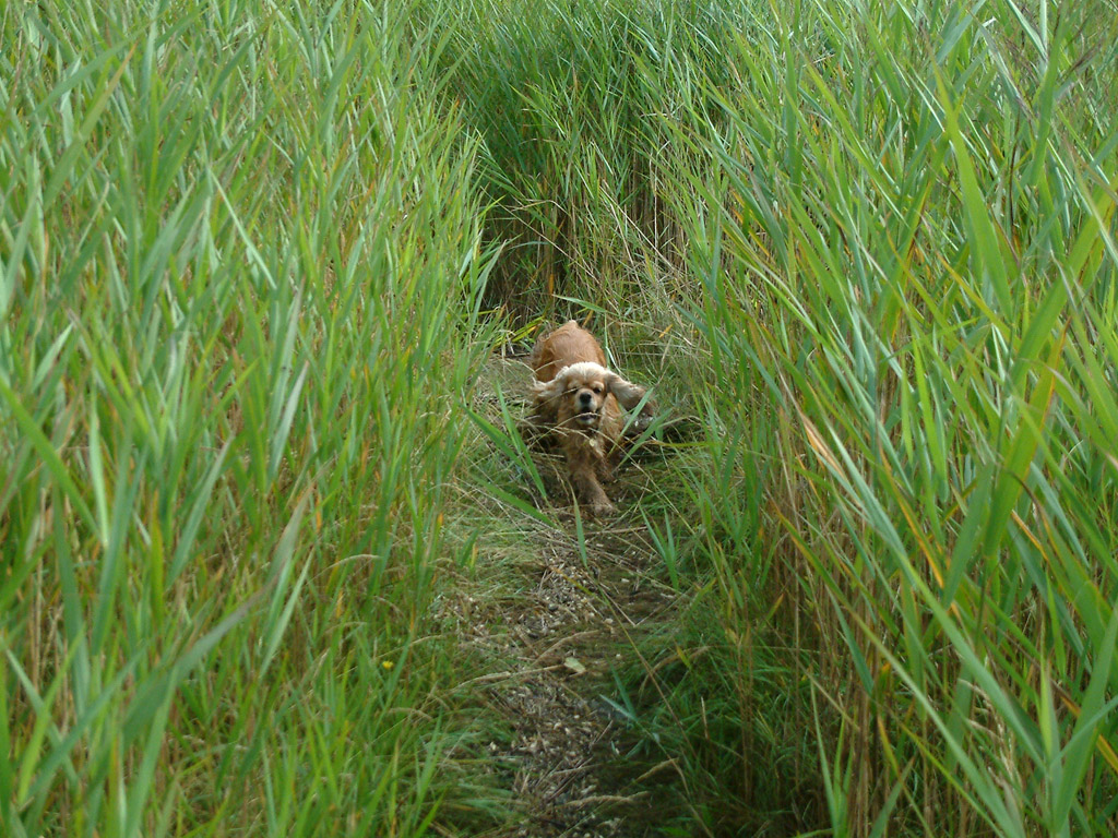
George running through the reeds

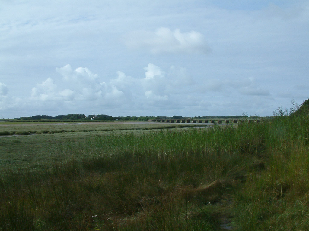
Having come under the railway, a look back to Eskmeals Viaduct
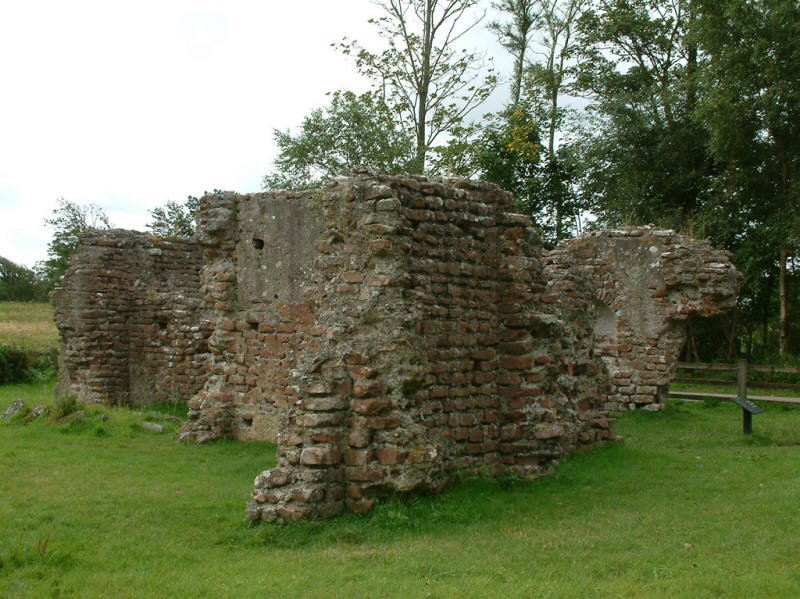
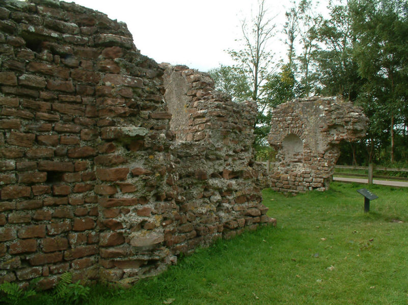
Returning via the non-tidal alternative inland route of the Cumbria Coastal Way,
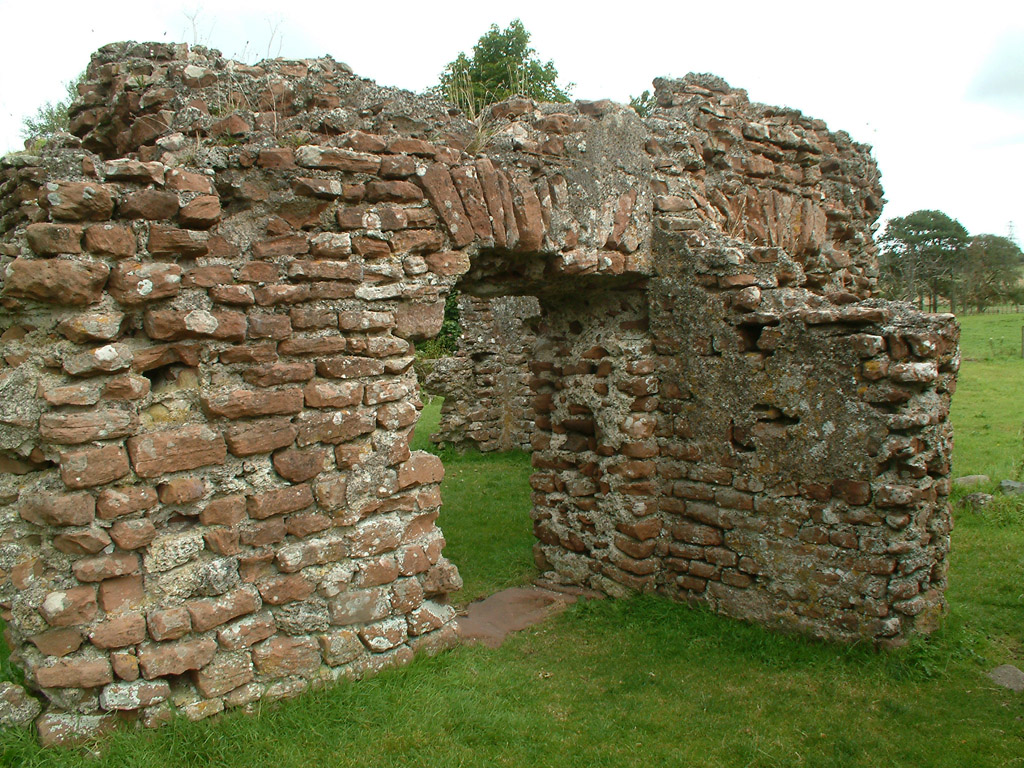
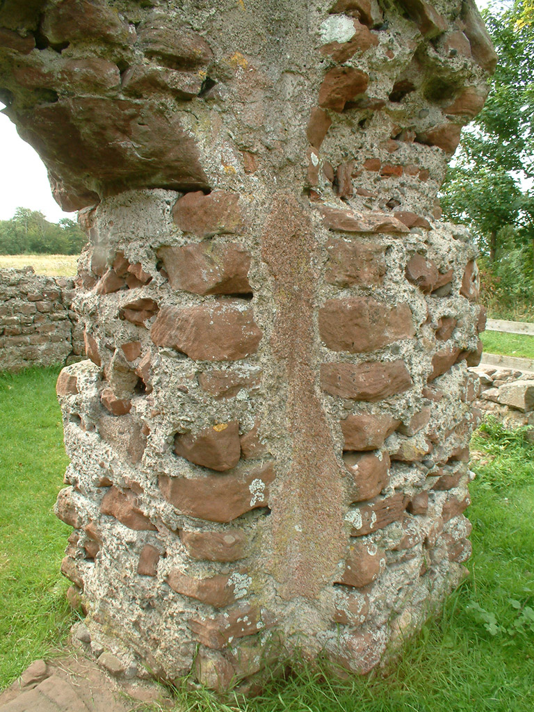
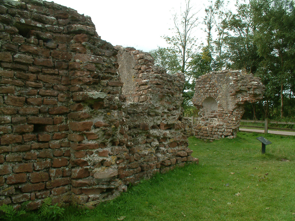
we reach Walls Castle, the remains of a Roman bath house. Its walls are the
highest standing Roman remains in Britain.
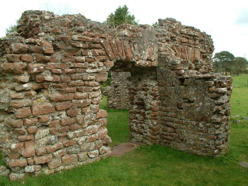
The bath house was part of the Roman fort at Ravenglass, known as Glannoventa,
established in about AD 130 on the site of a smaller fortlet built about 10
years earlier.
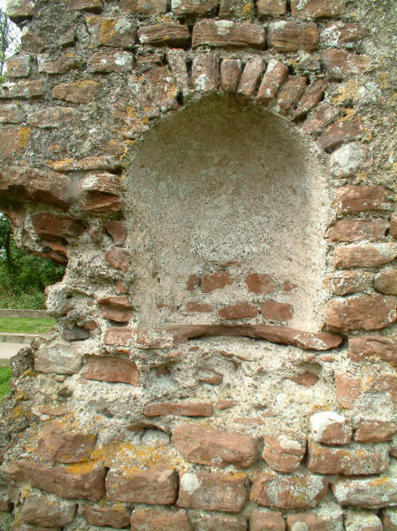
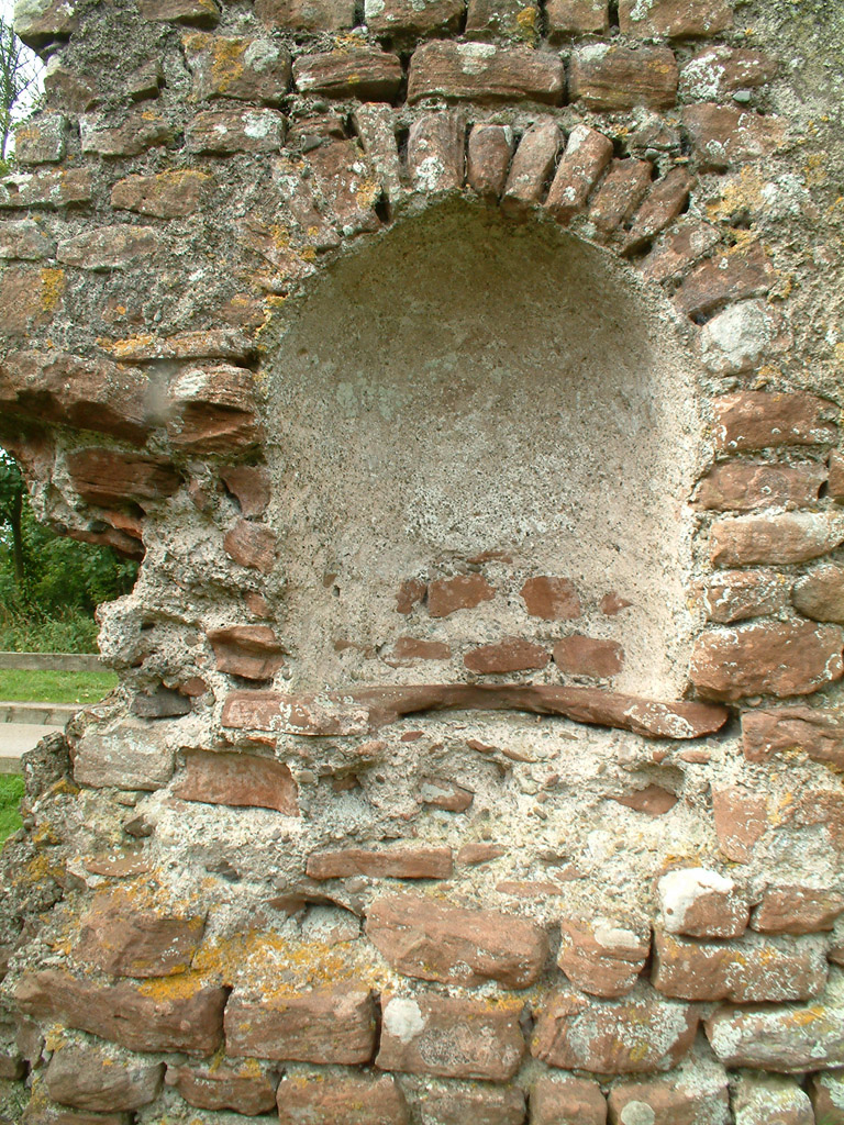
A niche which probably once housed a statue.

The walls retain traces of the original white and red cement rendering.
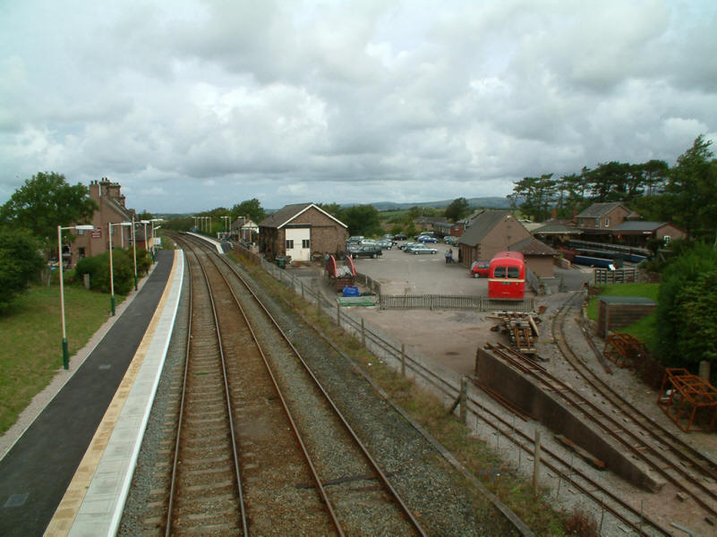
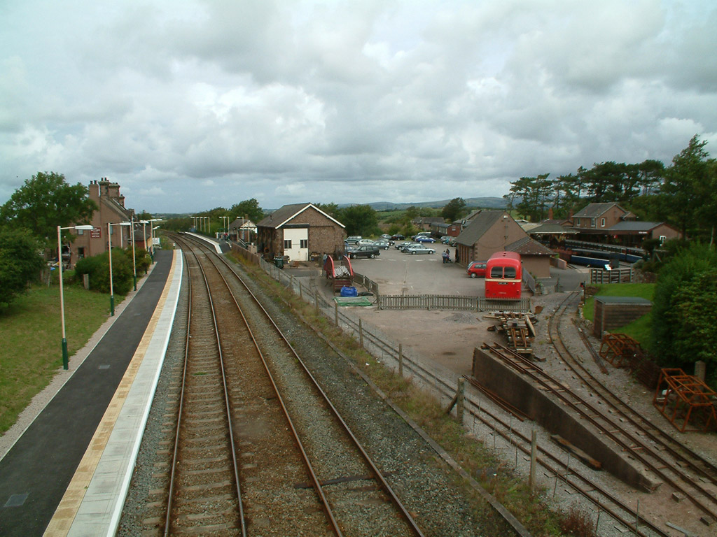
As we return to Ravenglass, we cross the railway and look north to the two
Ravenglass stations.
Lake District holiday August 2005
|
|