Freeholds Top
16 February 2006
En route to the Lake District for a few days, a stop in the south Pennines for a
walk on Freeholds Top, a moor between Rochdale and Burnley.
Having parked the car with ease in a large layby near the road summit at
SD890244, we look along the track which lies just within the unitary authority
of Calderdale.
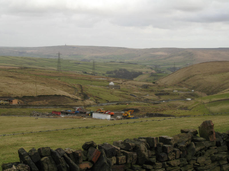
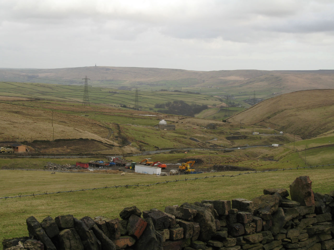
Looking down the valley past the accumulated junk towards Todmorden, with the
Stoodley Pike Monument visible on the horizon
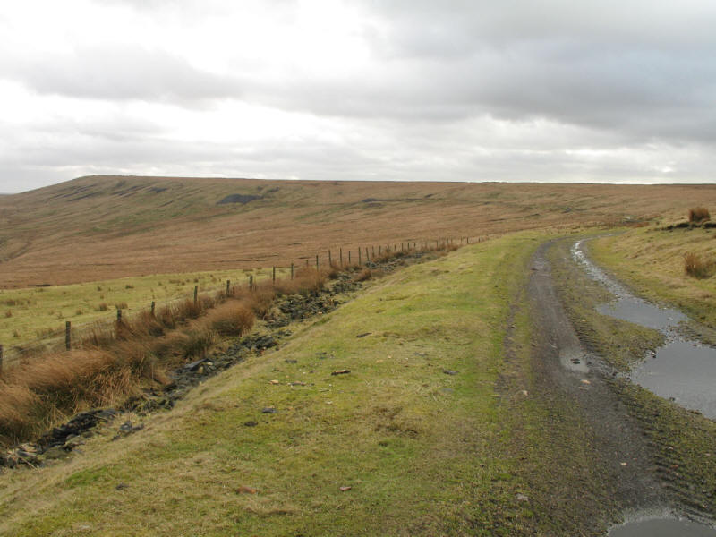
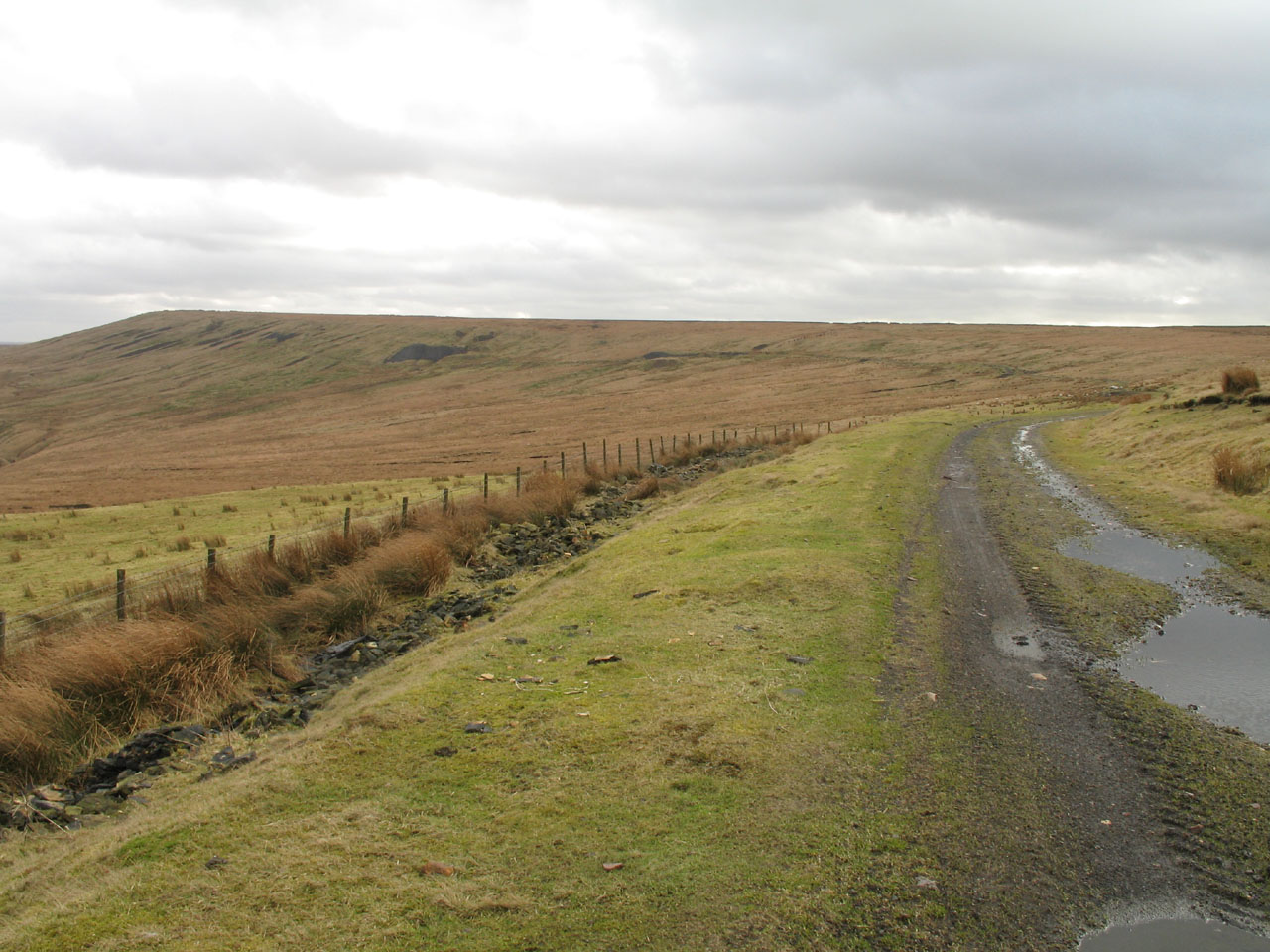
The track contours around the side of the hill towards the summit which is on
the left of the horizon. We, however, left the track to take the upper bridleway
onto the ridge itself, but I can't really recommend the small additional effort.
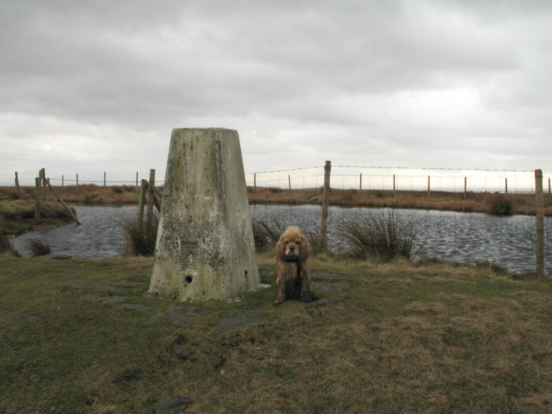
George at the summit trig point and summit pond. This really is the top - very
odd to see so much water with only inches of bank all the way round to hold it
in.
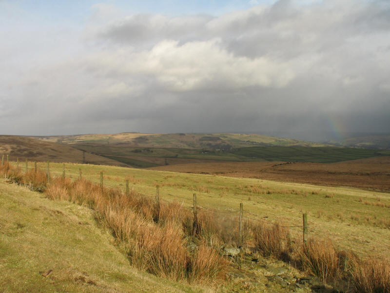
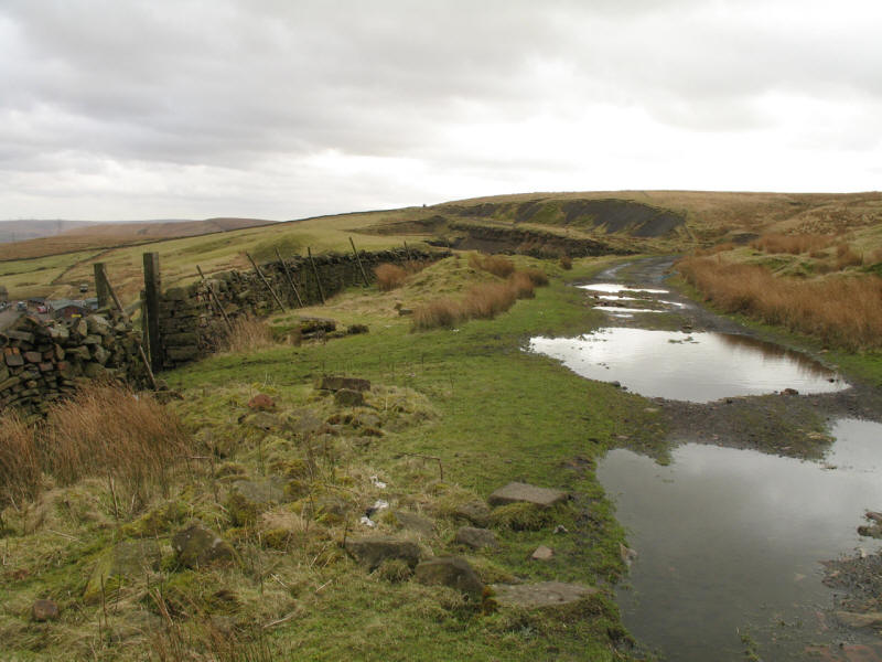
On the way back to the car, we used the quarry track all the way. A few drops of
rain and the sunshine combined to create elements of a rainbow, a bit of which
can jst be see towards the right of picture.

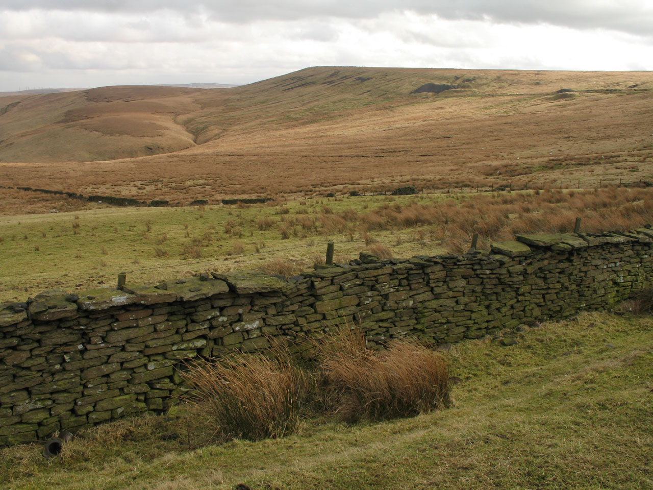
Looking back to Freeholds Top
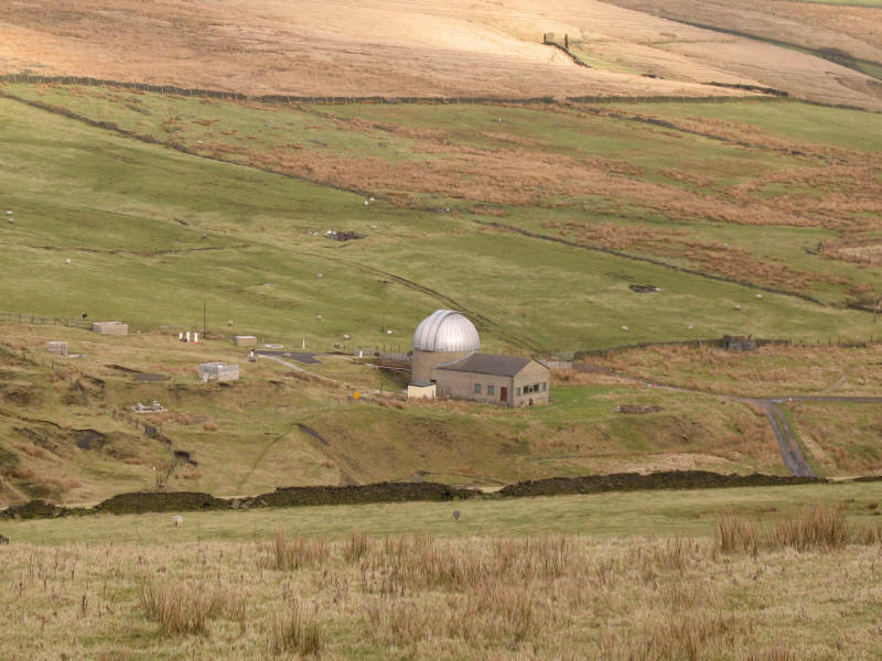
A close-up of the local astronomical observatory.
In total, 7.2km, 144 metres of ascent, 1 hour 55 mins (including 24 minutes
stopped)
Lake District long weekend, February 2006
|
|