East London Canals: Lee Navigation, Limehouse Basin, Regent's Canal
and Hertford Union Canal
9 April 2007
On a beautiful Easter Monday morning, Ellie joined Stephen for a circular walk
around the waterways of East London, an area which will soon begin to be
radically reshaped as the site of the London 2012 Olympic Park.
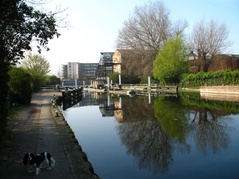
As we join the River Lee Navigation, we can see the junction with the Hertford
Union Canal.
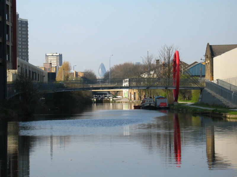
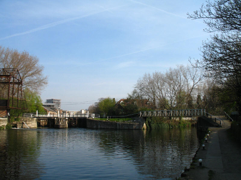
Looking along the Hertford Union Canal, from which direction we plan to emerge
in about 3 hours. The last of three locks on the canal can be seen,
with 30 St Mary Axe, better known as The Gherkin or Swiss Re Tower, looming
behind.
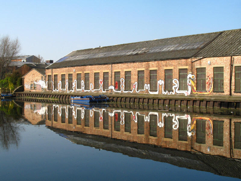
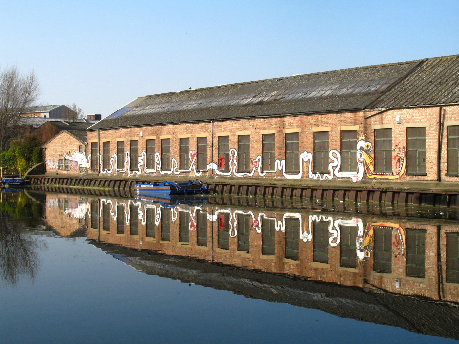
An imaginative piece of graffiti, reflected in the River Lee Navigation
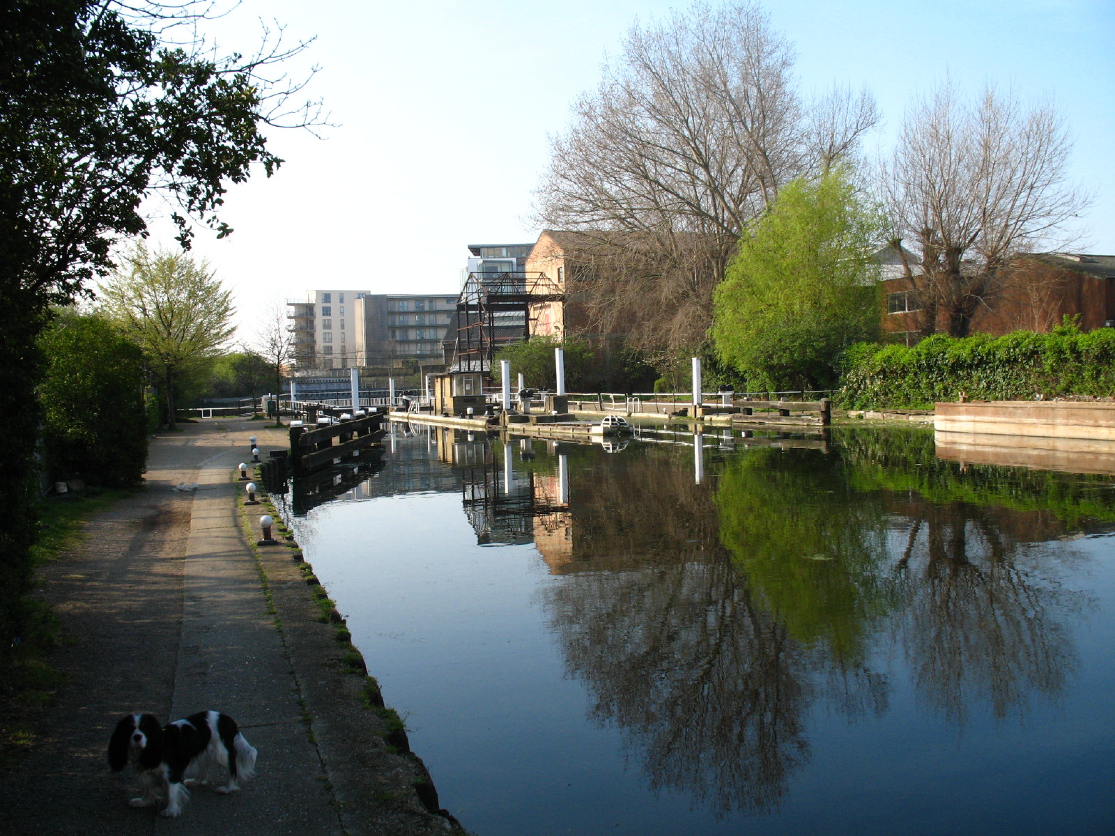
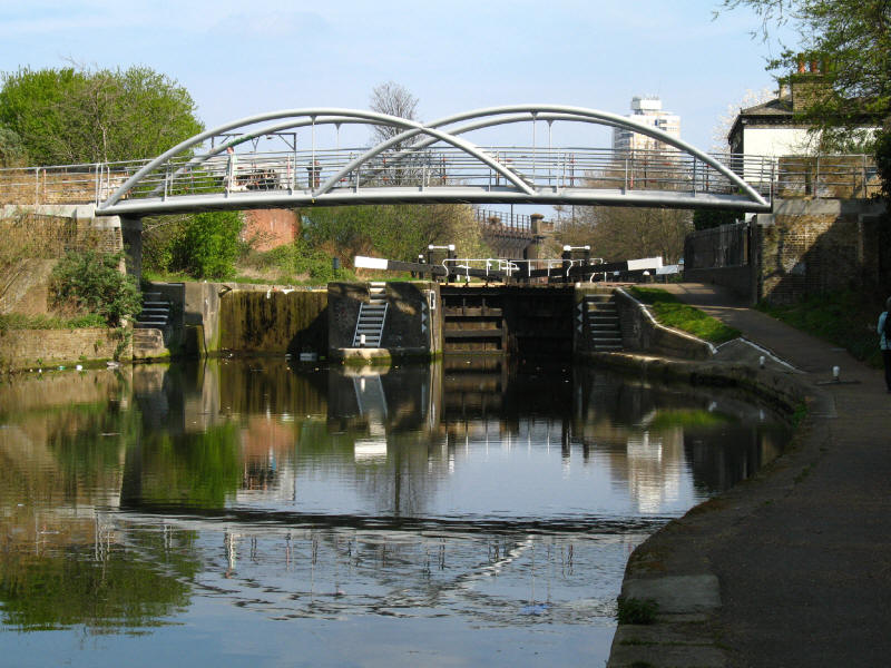
Old Ford Locks
Below Old Ford Locks, where the River Lea rejoins the navigation. The loop of
river cut off by the Navigation was part of the mid-19th century improvements to
the Navigation authorised by an Act of Parliament in 1850, which involved a
number of new cuts and locks.
Looking back at the Northern Outfall Sewer, constructed in 1862-3 with Joseph
Bazalgette as engineer. This is one of three major sewers constructed by
Bazalgette after an outbreak of cholera in 1853 and "The Big Stink" of
1858. Previously sewage was dumped directly into the Thames in central London,
but these intercepting sewers transferred it parallel to the Thames - this one
to Beckton. Originally just dumping it in the river lower down was the
objective, but nowadays the waste is treated before it enters the river. The top
of the Northern Outfall Sewer now forms the Greenway path and cycleway through
east London.

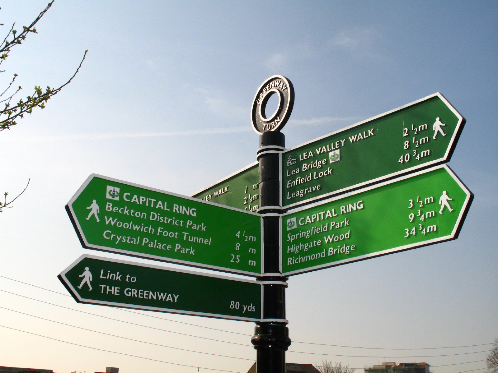
And the sign at Greenway Turn shows that in continuing down the Lea Valley Walk
we are parting company from the Capital Ring which takes the route of the
Greenway from here. As we are 34¾ miles from Richmond Bridge,
we must be 29¾ miles from where we left the Capital Ring on Saturday.
To continue along the Capital Ring, click the walker above, otherwise continue
below for more along the River Lee Navigation
After passing the hideous A12/A11 junction, where the towpath walker is thrown
without warning around a corner onto the roundabout, and left to negotiate two
busy roads which look like ordinary slip roads but have two-way traffic nicely
hidden behind huge pillars, we reached Three Mills island.
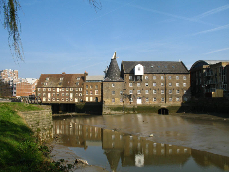
The remaining two mills on Three Mills Island are House Mill, seen with the
Millers House on the left, and Clock Mill on the right. The three mills on this
island were acquired by Stratford's Langthorne Abbey in the middle ages.
Although the site was in use for mills at the time of the Domesday Book, the
mills have been rebuilt many times since, the House Mill dating from the late
18th century and the Clock Mill (whose roof almost makes it look as though it
belongs in Kent) from the early 19th century. House Mill ceased operating in
1940, and Clock Mill in 1952. Although no longer in operation, House Mill is the
largest intact tidal mill in the world. The remainder of the island is home to 3
Mills Studios, a centre for film and television production.
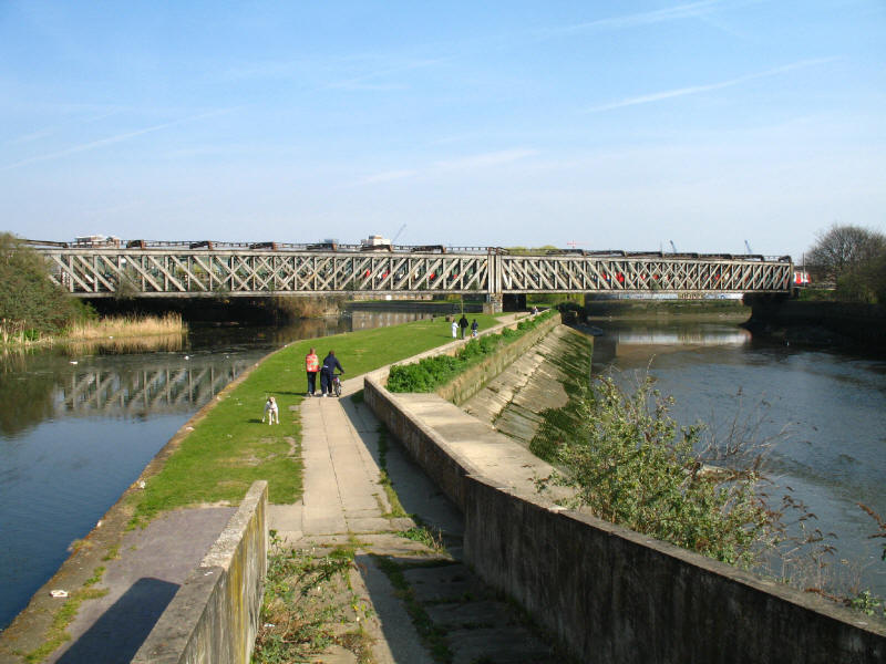
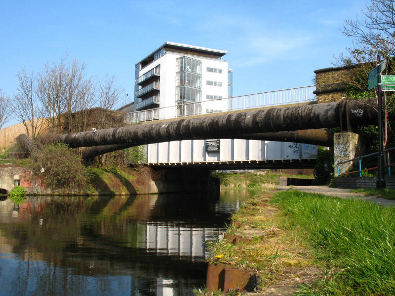
As we approach Bow Locks, a look back to the bridge carrying the Central Line
over the Lee Navigation on the left and the River Lee on the right.

Bow Locks, where the adventurous boater can descent to the tidal, winding and
silted River Lee, better known hereabouts as Bow Creek, while most will turn
right and follow our route along the Limehouse Cut.
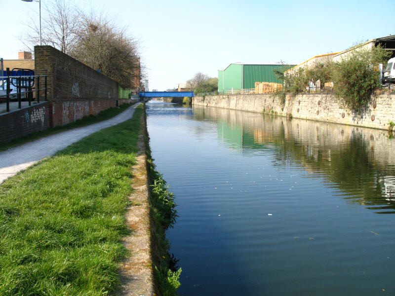
After passing under the A12 road on its way to the Blackwall Tunnel, we look
along the straight Limehouse Cut. Authorised by an Act of Parliament in 1766
(making it the oldest wholly artificial canal in London), it was opened in 1770
and was built to provide a short-cut from the River Thames at Limehouse
north-east to the River Lee at Bromley-by-Bow, avoiding the need to use the
difficult Bow Creek. After 1968 the exit lock into the Thames was closed when a
short length of new canal was constructed to link the Cut with the Regent's
Canal Dock, nowadays known as Limehouse Basin.
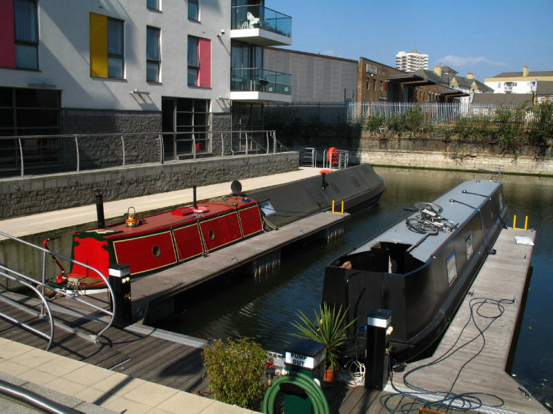
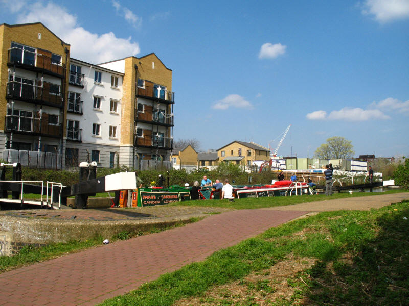
A tiny marina with room for four or five boats interrupts the straight towpath
walk along the Limehouse Cut.

Reflections in the cut as we approach the last, winding section of Limehouse Cut
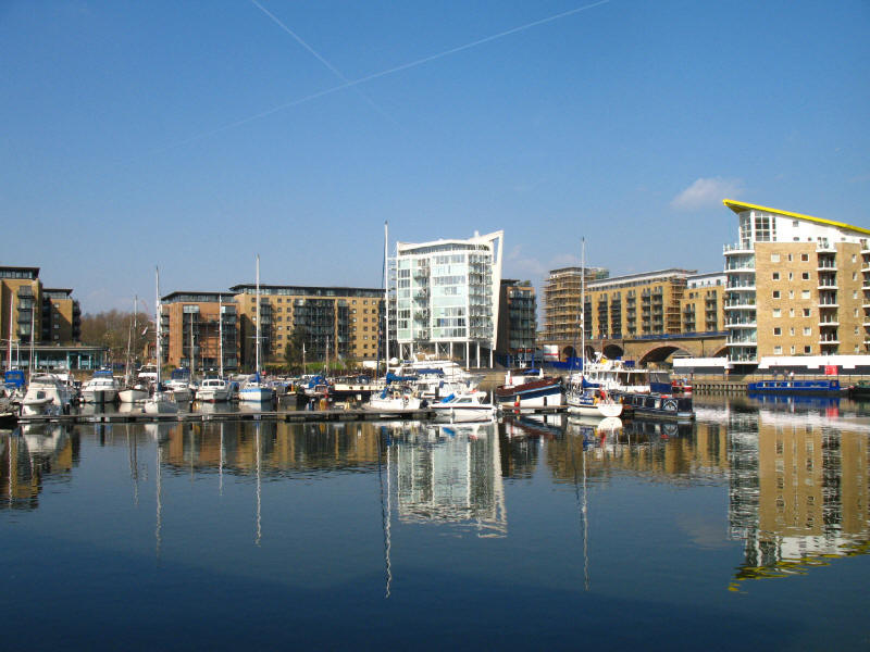
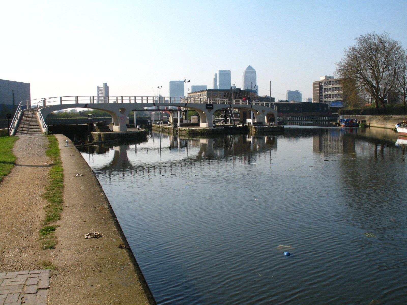
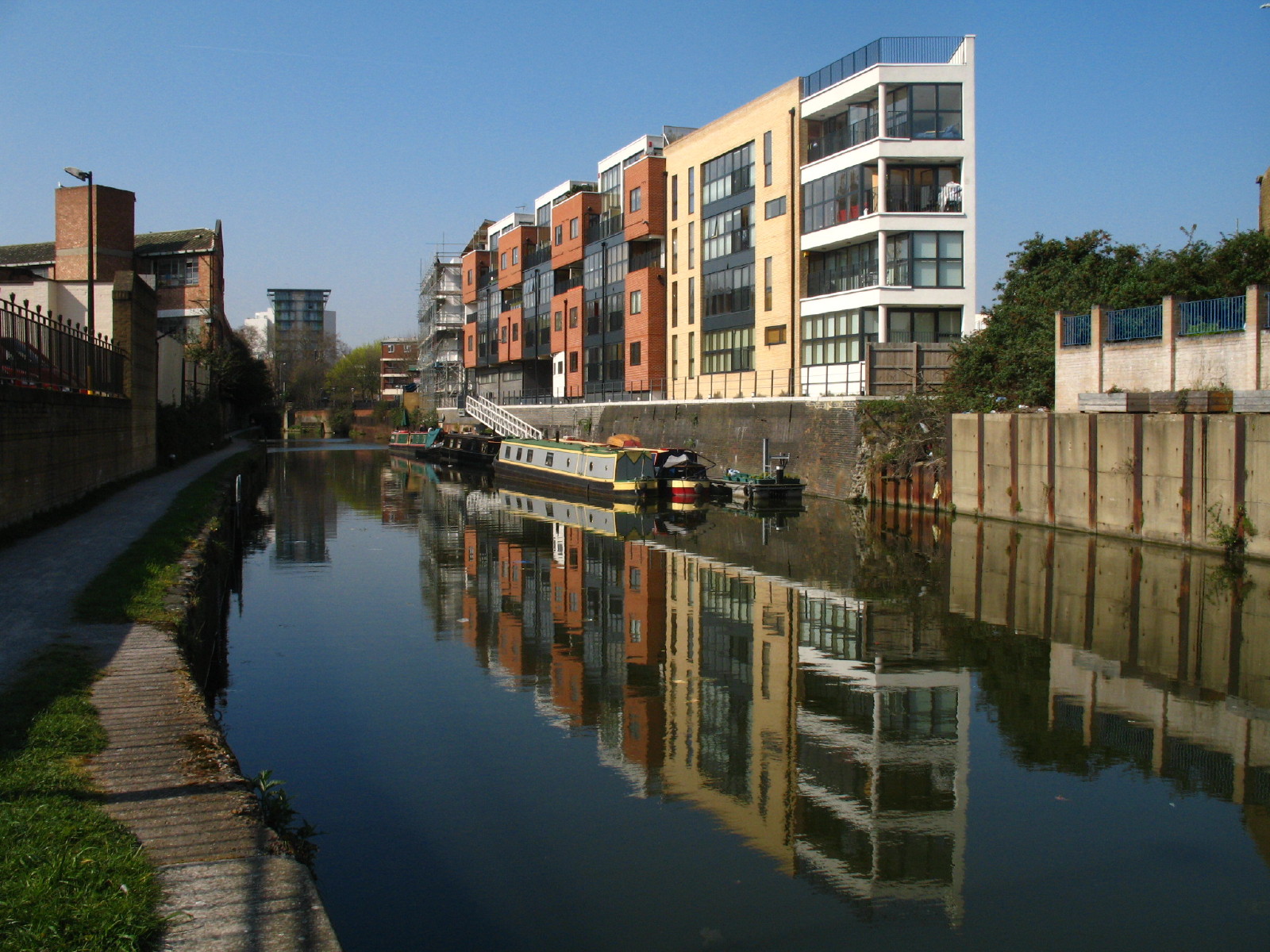
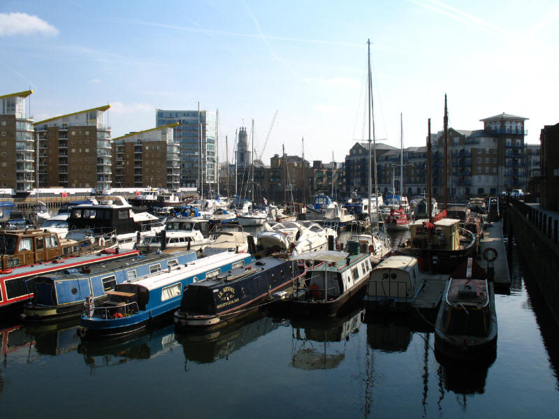
And here we are, at Limehouse Basin
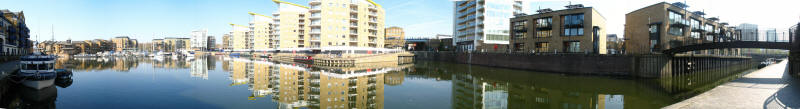
A panoramic view - almost 180°, with the Limehouse Cut on the right, the lock to
the Thames on the left, and the Regent's Canal at the left end of the array of
tall buildings.
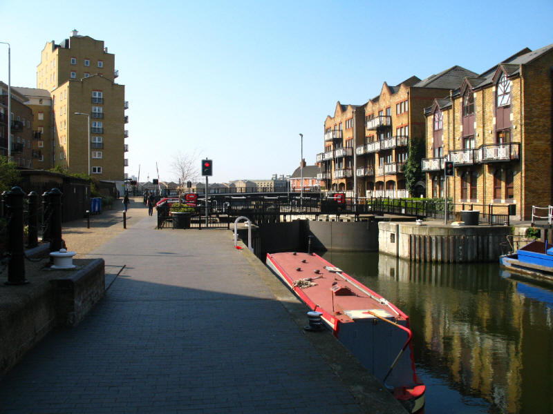
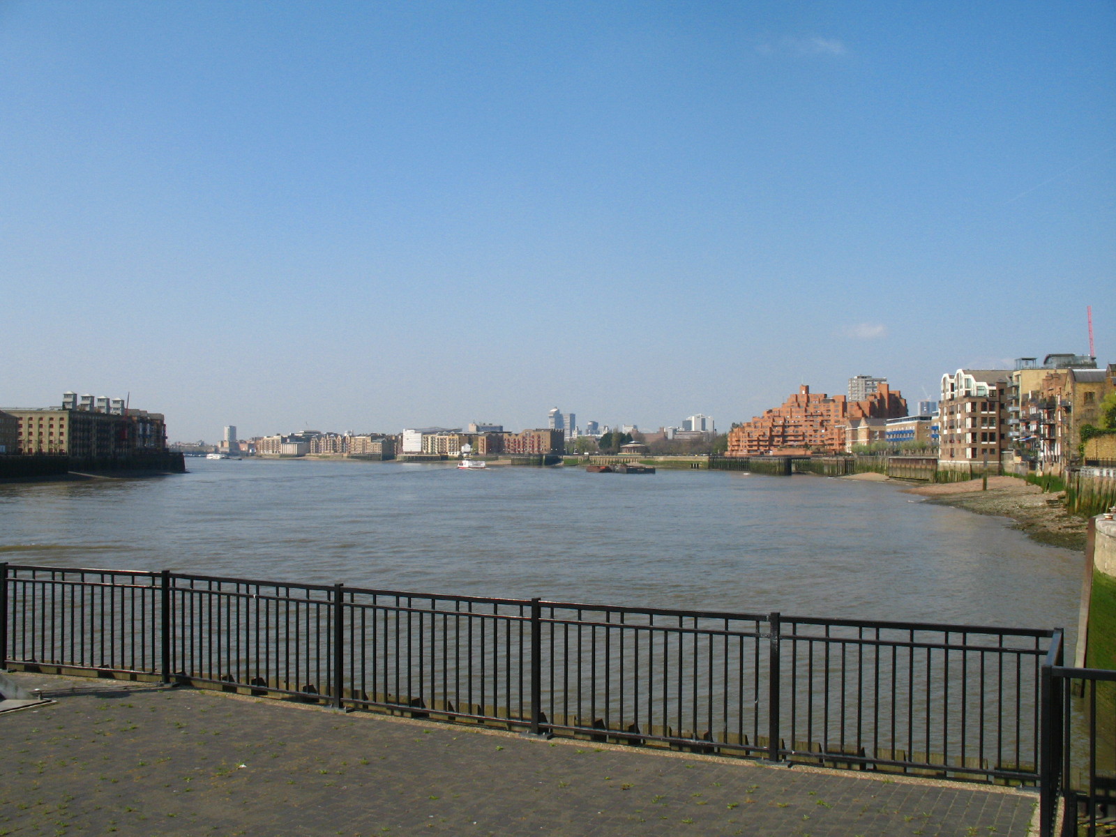
The 1989 entrance lock from the River Thames

And the view of the River Thames from the Thames Path next to the lock entrance,
looking upriver. Just visible to the right of the tallest building
centre-picture are the twin towers of Tower Bridge, and to their right is the
northern ventilation shaft of Rotherhithe Tunnel, above which can just be
discerned the faint outline of the top of the London Eye.
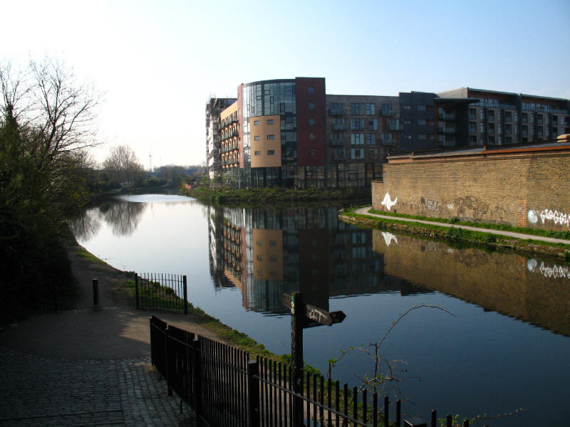
Back at Limehouse Basin, we continue our circuit, towards the Regent's Canal.
Unfortunately when we got almost there, we found another of those annoyingly
glib notices advising that the pedestrian route was closed. In fact, we could
see quite clearly that whatever the works in progress which had closed the car
park, there were no pedestrian hazards today, but a 900 metre diversion back
around the basin while annoying was not too much of a hardship on this lovely day.

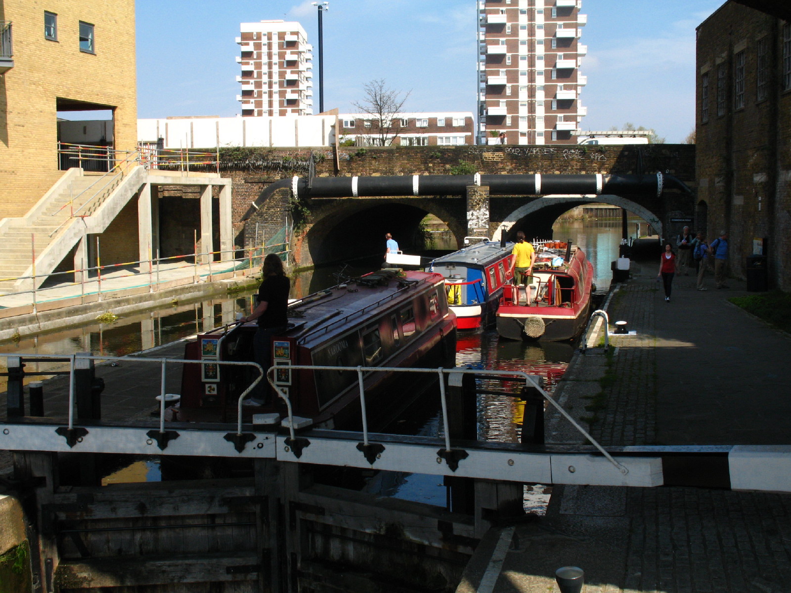
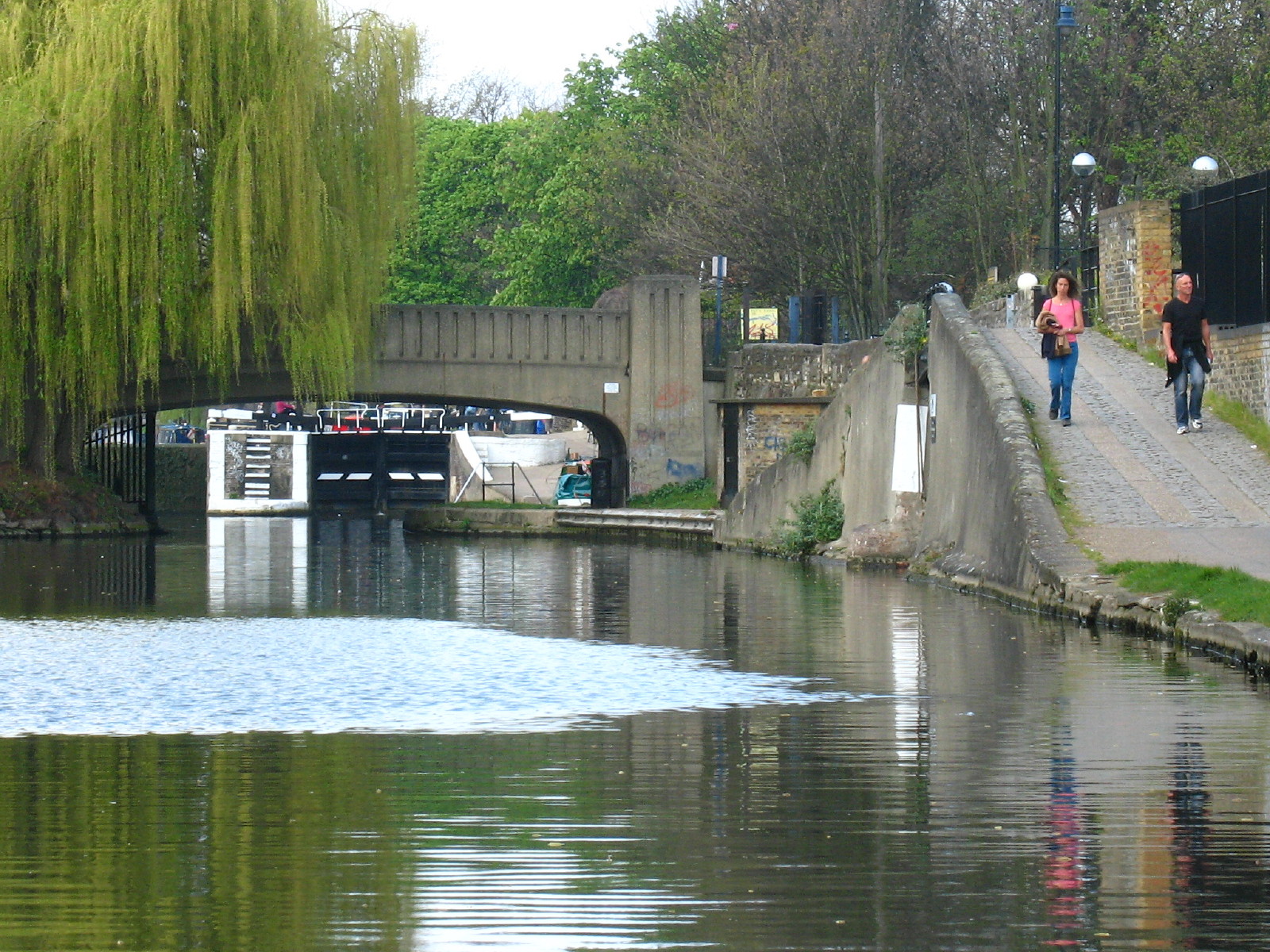
So, eventually reaching the start of the Regent's Canal, we find three
narrowboats leaving the first lock, Commercial Road Lock. The Regent's Canal formed part of the Grand Union Canal from 1 January 1929, though is rarely
described as such. Built between 1812 and 1820, the canal linked the Paddington
Arm of the Grand Junction Canal (now also part of the Grand Union Canal, but
by contrast it is usually described as the Grand Union Canal) with the Thames here
at Limehouse, with Regent's Canal Dock being
an important transhipment point between canal boats and Thames barges. The canal
continued to be very successful right into the railway age, because of its urban
location, its proximity to many railway termini, and the vital importance of the
Thames.
The first lock is quickly followed by Salmon Lane Lock. The locks on the canal
were all originally built as pairs, to speed traffic and to allow one to serve
as a water-saving side-pond for the other, but many of these have been taken out
of use.
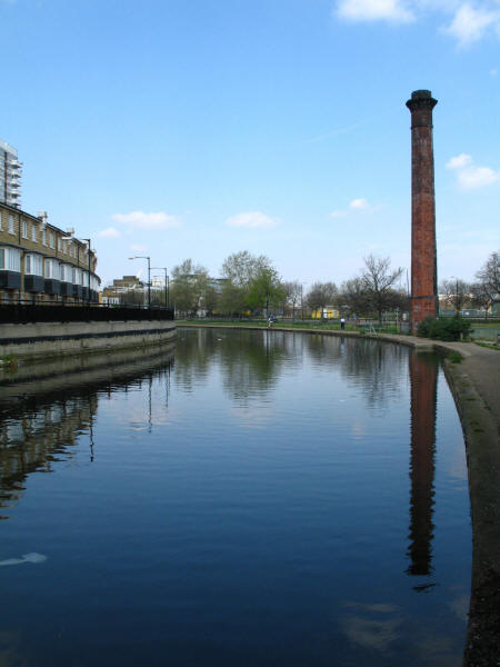
A solitary chimney beside the canal hints at a more industrial past for the area
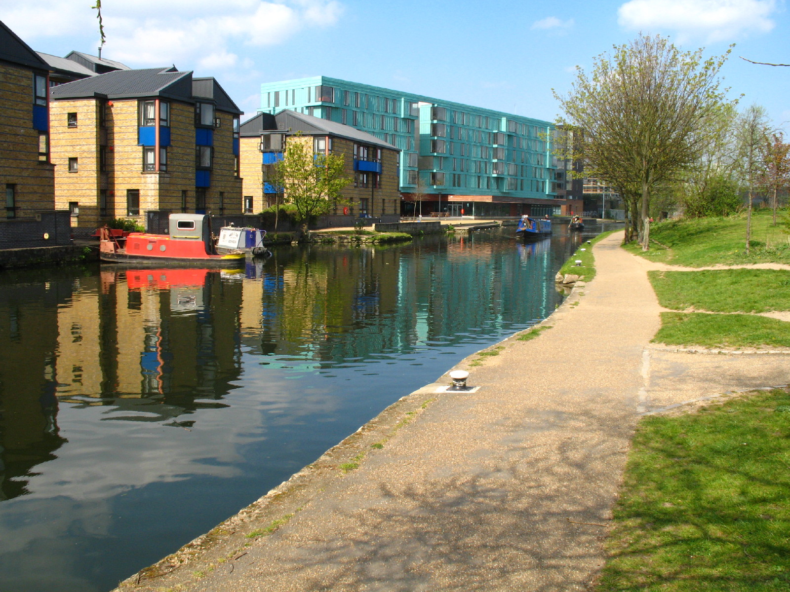
Modern flats beside Johnson's Lock. Near here, Ellie suddenly disappeared,
which is most unlike her. She had made a quick visit to a canalside café.
The
hint was taken and a stop made for a drink and biscuits here.

Two boats descend the canal towards Mile End Lock

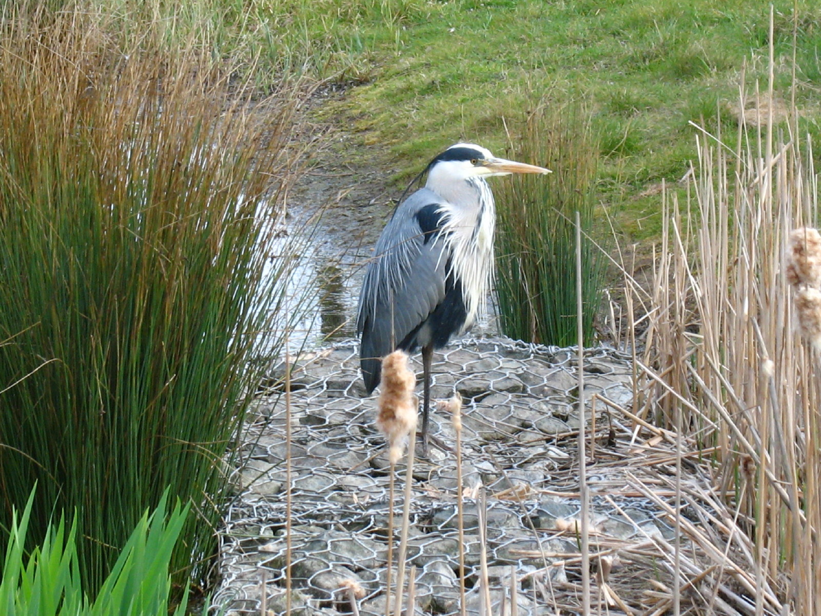
A heron in the park above Mile End Lock
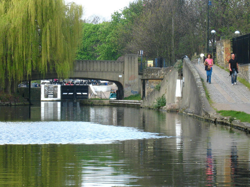
Approaching Old Ford Lock (not to be confused with the Old Ford Lock we passed
earlier on the Lee Navigation), we are about to turn right, the bridge on the
right carrying the Regent's Canal towpath over the Hertford Union Canal.

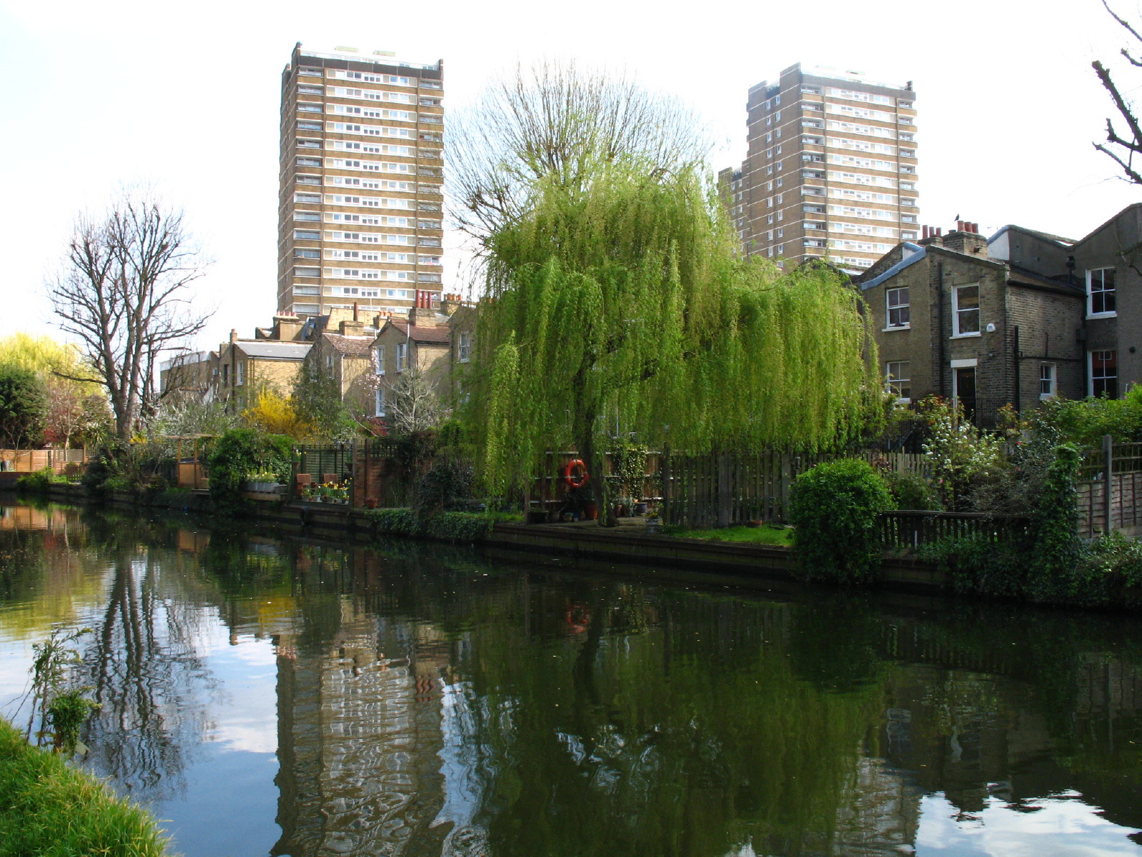
Suburban houses with well-tended gardens back onto the Hertford Union Canal,
loomed over by tower blocks.

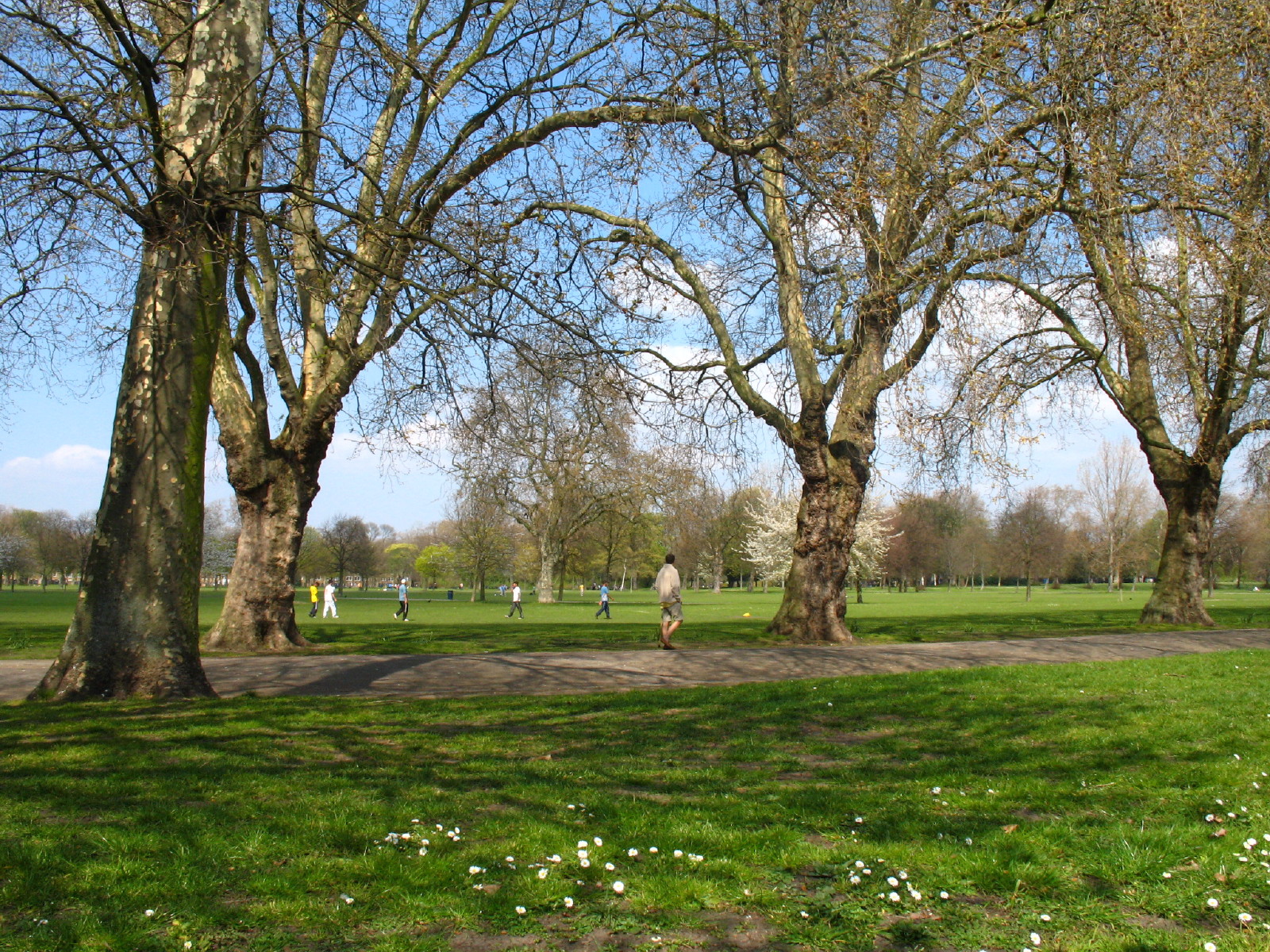
On the other side is the attractive Victoria Park.
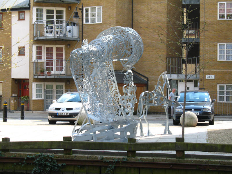
A sculpture among flats by the canal
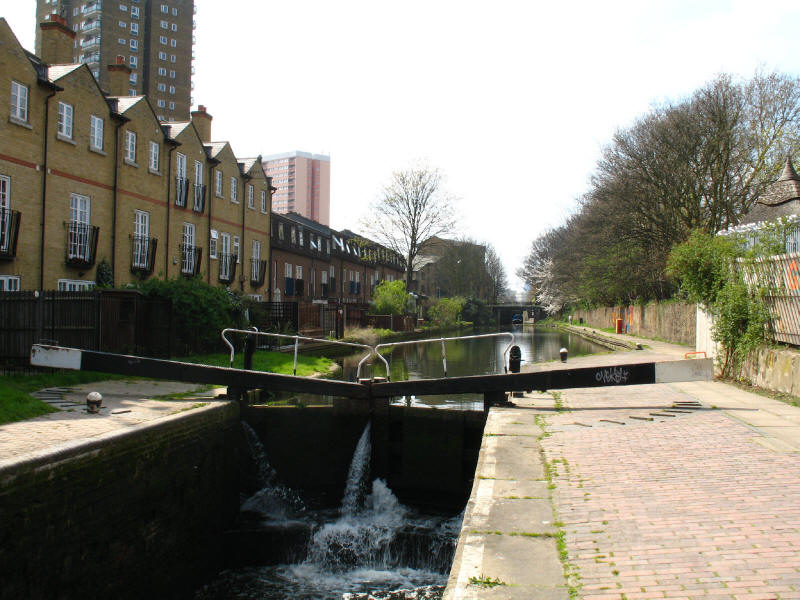
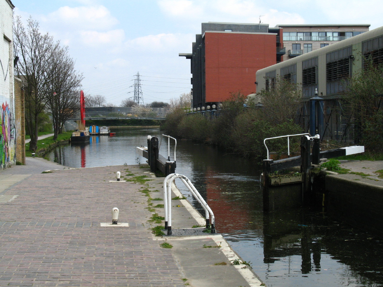
The second of the three locks on the Hertford Union Canal. The canal, also known
as Sir George Duckett's Canal, or occasionally as the Lee Union, was opened in
1830 to link the Lee and the Regent's Canal. Sir George Duckett was owner of the
Stort Navigation, which links with the Lee
further upstream. Traffic was less than expected, and by 1848 it was disused.
However, it was bought by the Regent's Canal in 1857, who reopened it. It formed
part of the Grand Union Canal from 1929.

Looking from the third and final lock to the junction with the Lee, and we are
almost back where we started.
Total distance: 13.0km in 3 hours 25 minutes (2 hours 40 minutes of which was
moving, according to the GPS). A fascinating and surprisingly interesting and
enjoyable walk, made even better by the excellent weather. Thoroughly
recommended.
|