Lee Valley Park
January/February 2008
A collation of photos from walks around the Lee Valley
Park north of Waltham Abbey:
10 February 2008 - Nazeing Marsh via Langridge to
Fishers Green & back along Lee Navigation
This afternoon's little walk started at the Nazeing Marsh car park, from where
the intention was to walk south along the Lee Navigation towpath. However, we
immediately encountered yet another of those oh-so-frustrating footpath closed
signs. The thorough reader of this site might have spotted a growing frustration
with these, which seem to have been imposed with little thought for walkers.
This was no exception - though someone had helpfully plotted a diversion route
on the map for the 1.5 km of towpath that was closed on "Site B" (whatever that
is supposed to mean for those not involved in the construction project), it
totally ignored all the many people who wanted to join the towpath part-way
along Site B, for whom no provision seemed to have been made. However, owing to
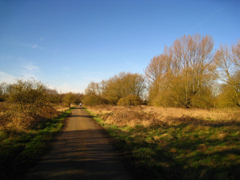
the profusion of paths in the Lee Valley Park, I was able to find another route,
and here is a bit of the Park I hadn't expected to see.
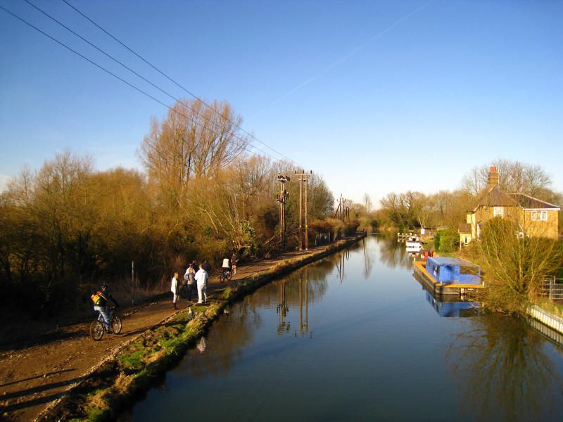
Arriving at the bridge over the Lee to take us towards King's Weir, we find that
others have been less obedient than me (this time) - at least nine people on
this small section of closed towpath. And it demonstrates the folly of the thing
- where is the risk from these people using this bit of towpath?
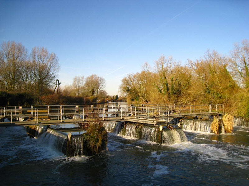
King's Weir, where the waters of the River Lea leave the Lee Navigation for a
lengthy perambulation through the Lee Valley Park
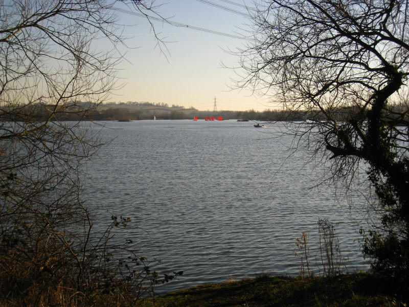
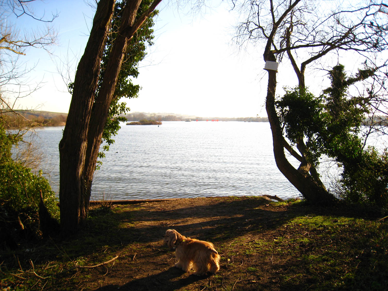
Looking south down the northernmost lake, there are quite a few dinghies out on
this beautiful February day

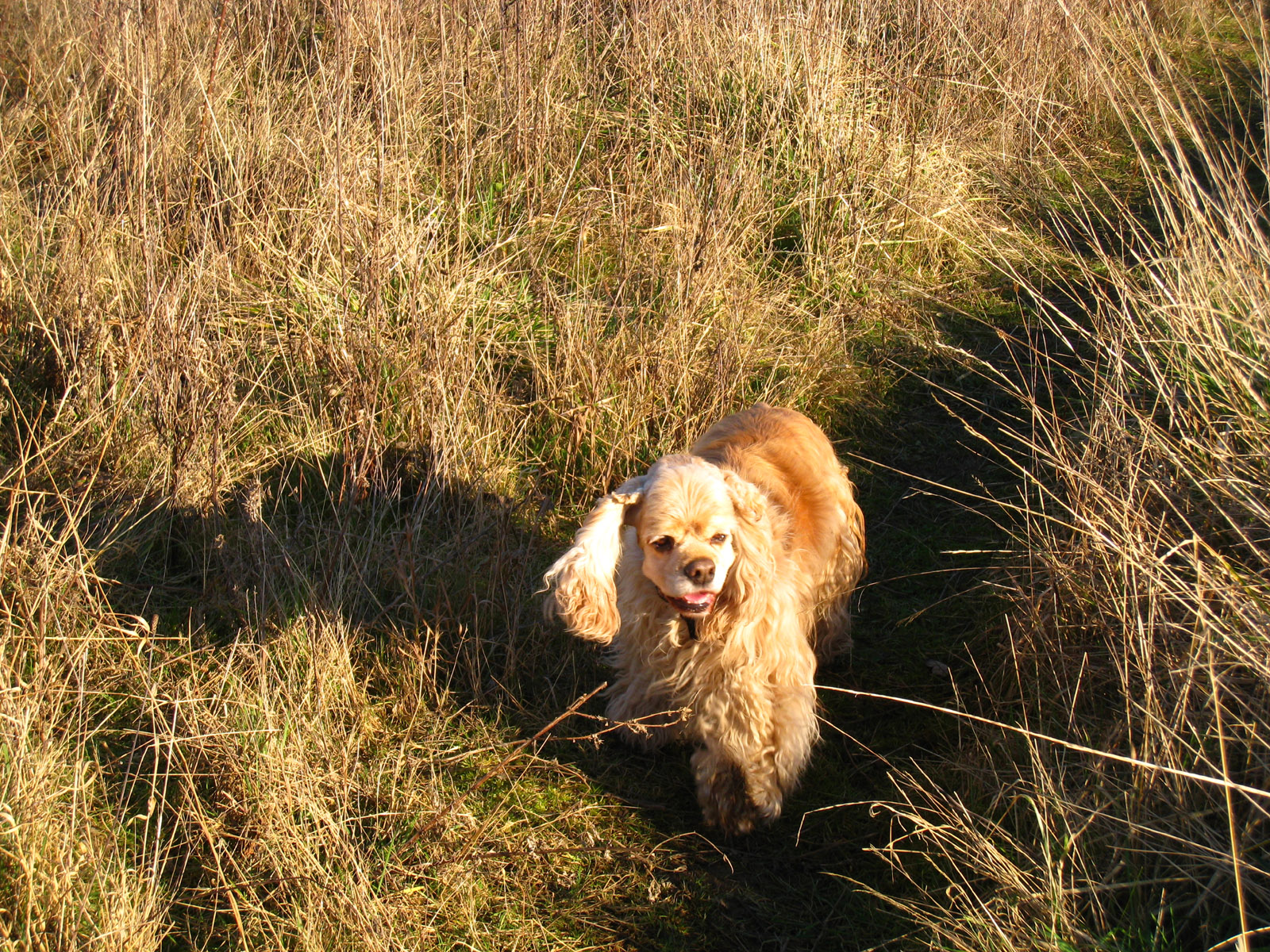
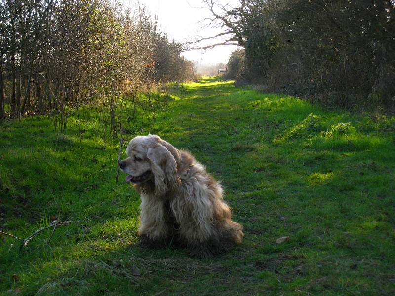
Not a brilliant photo, but it does show George before the mud!

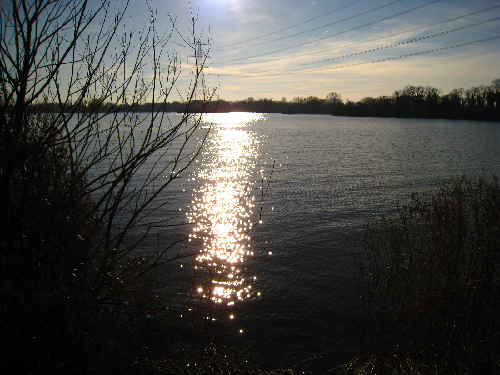
Sunshine on the lake. It was an astonishing warm day for February - the hottest
10 February on record in many places, with temperatures reaching 17°C, and I was
walking in just a long-sleeved t-shirt.
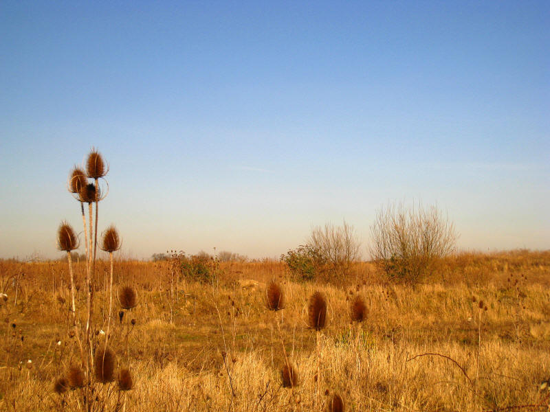
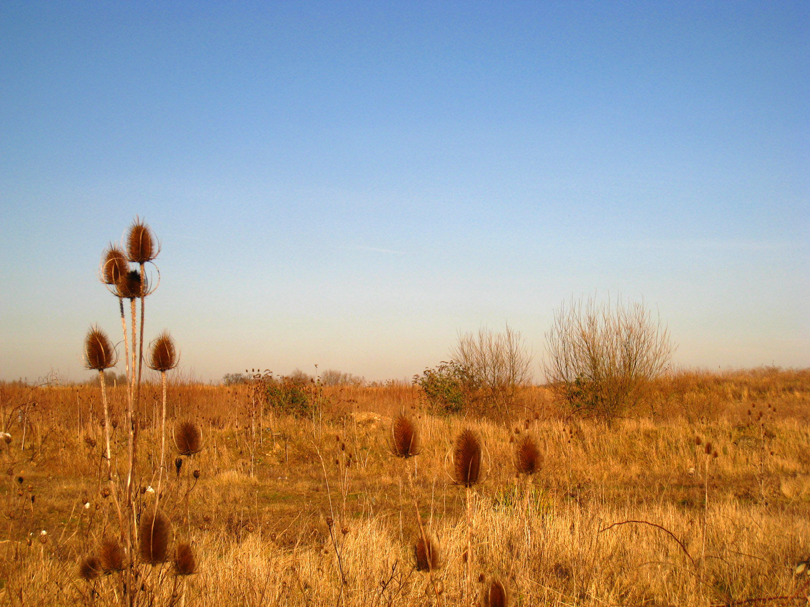
A remarkably brown scene for the winter

George looking cheerful.
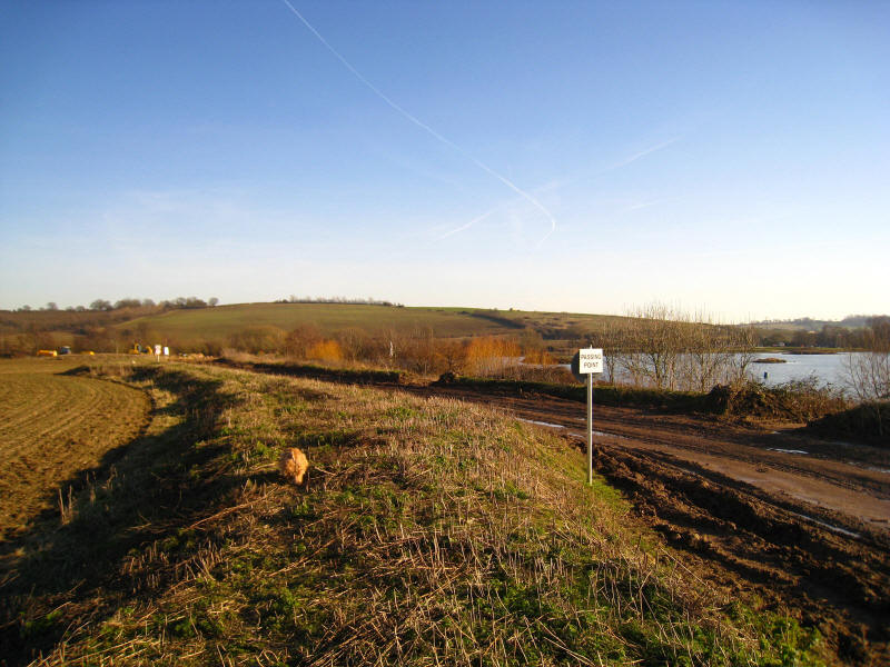
From here on, the map was unhelpful, marking the public footpath crossing the
lake, so George and I followed this very muddy track
The track ended here, where there is clearly land reclamation going on by way of
spoil tipping. Unfortunately the way through was very muddy - right over the top
of my boots - and followed by dense vegetation. Not much fun for either of us.
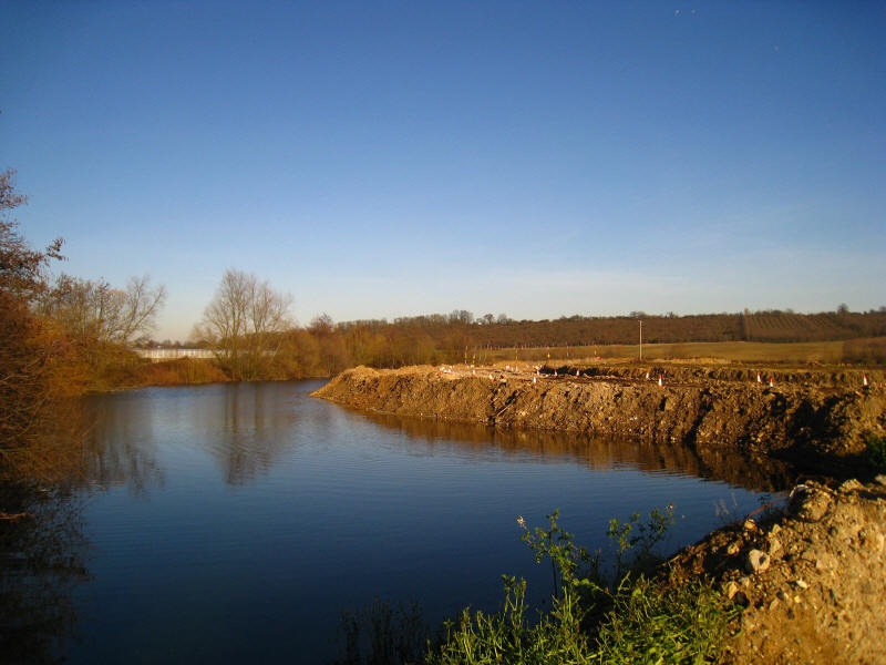
We emerged safely onto the path that runs along the east side of the lake down
past the sailing club, and George and I are rather muddy. From here on, the
route was delightful.
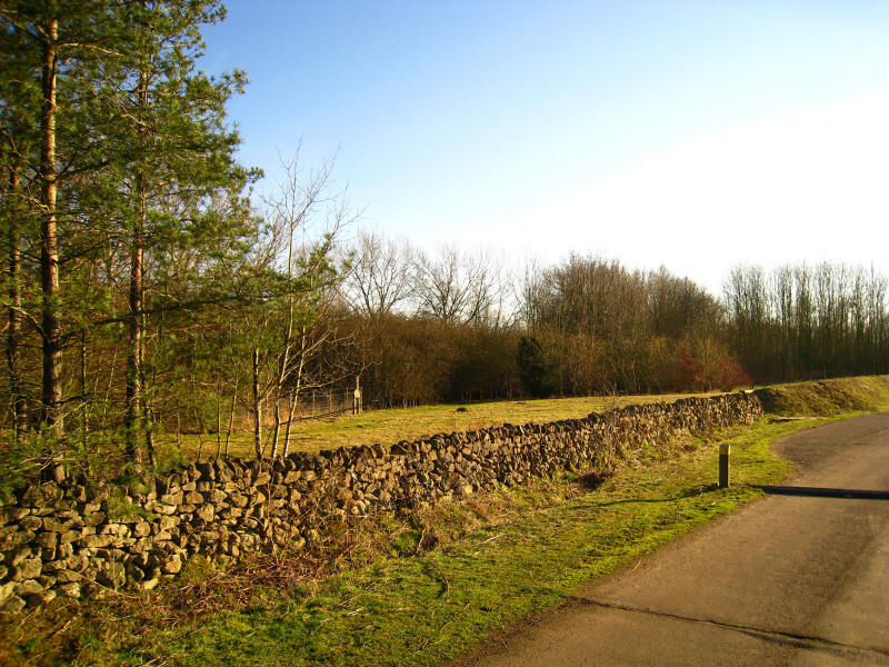
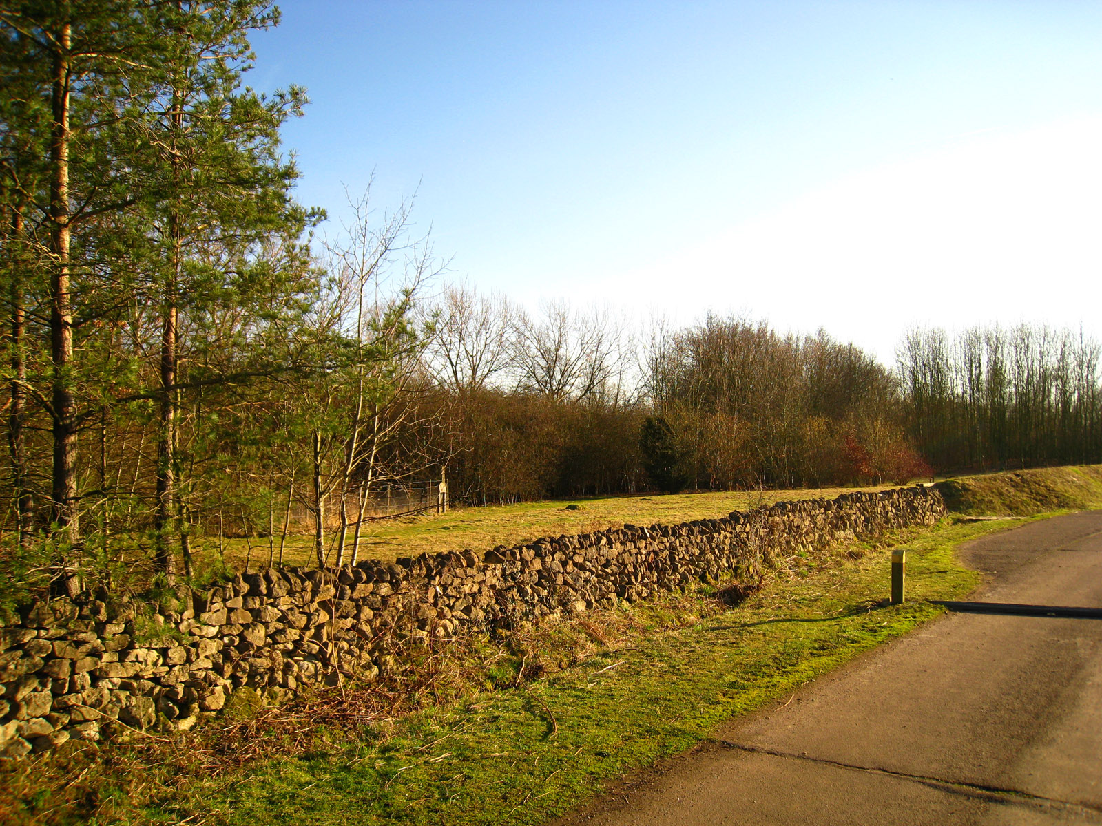
As we near Fishers Green, a dry stone wall looks oddly out of place in Essex

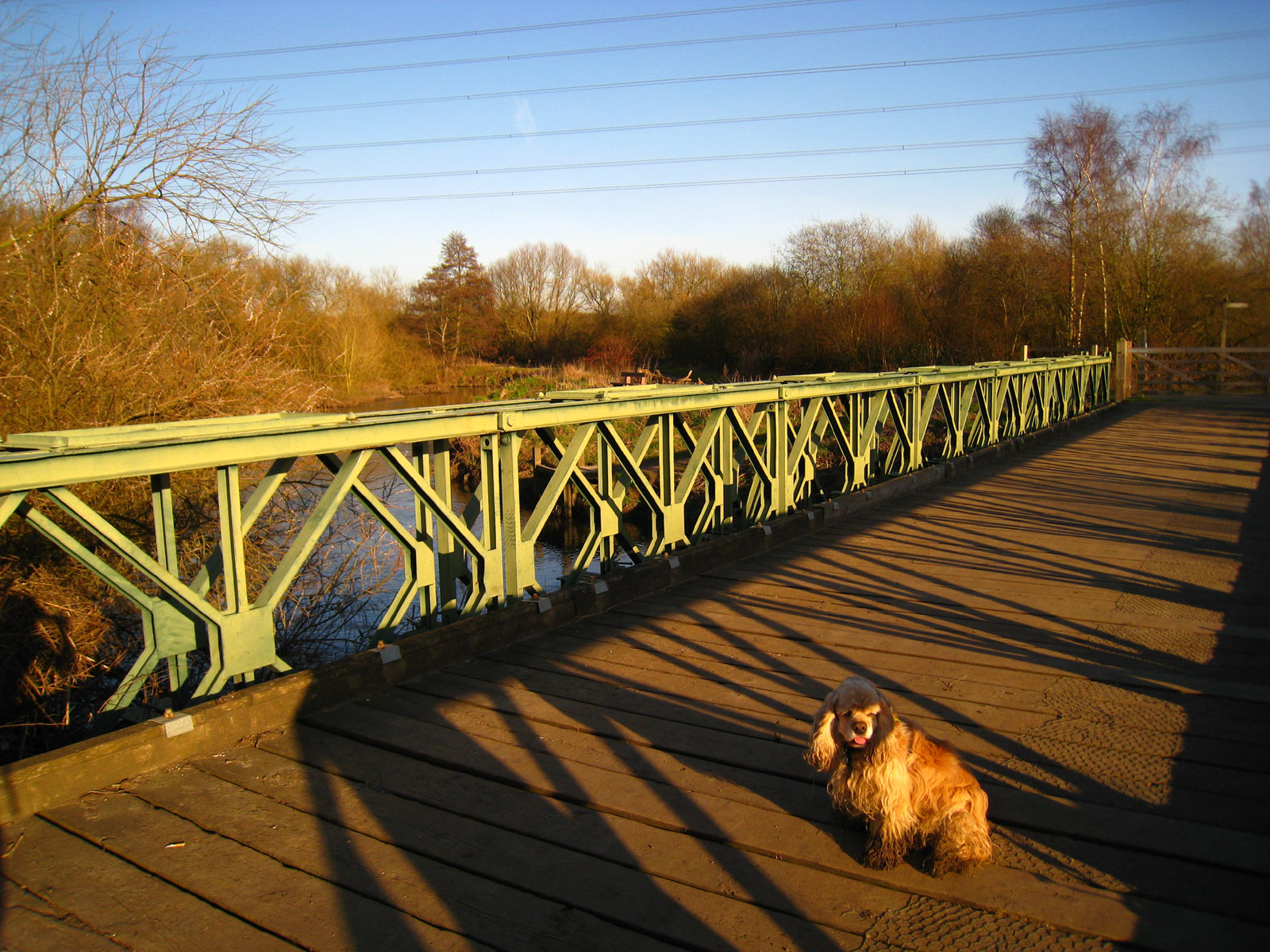
We have already crossed the bridge over the flood relief channel, and now cross
the bridge over the River Lea itself.
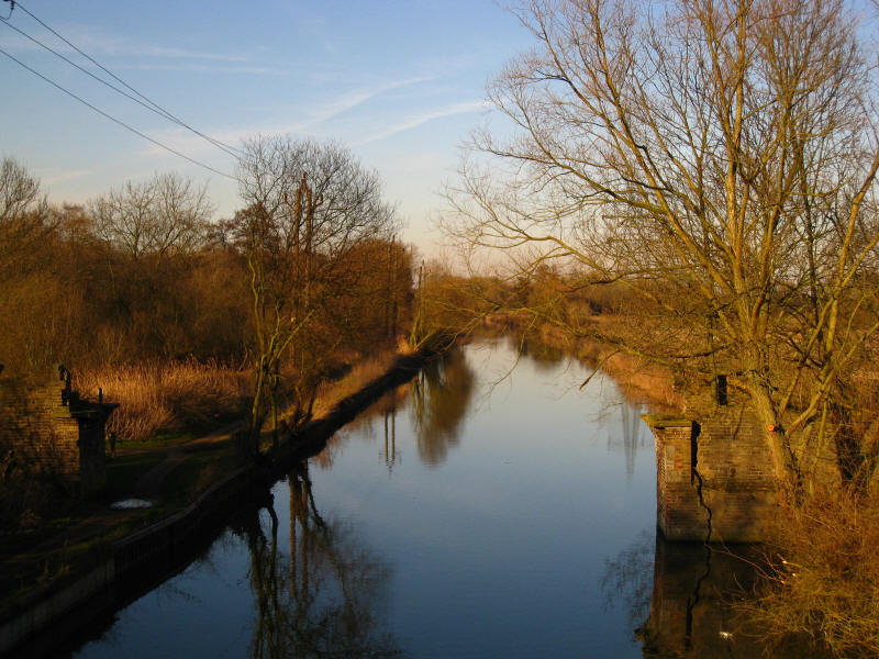
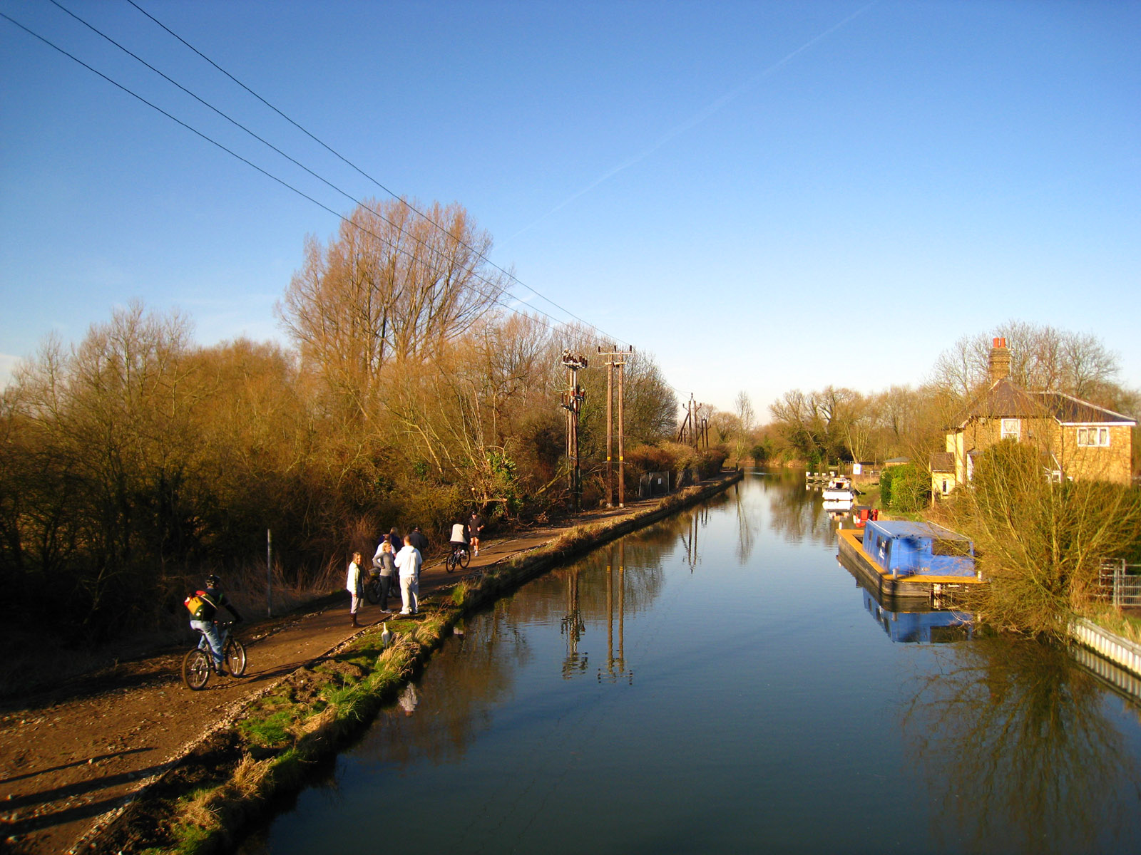
And finally the bridge over the Lee Navigation to regain the towpath: the
abutments of the old bridge can be seen
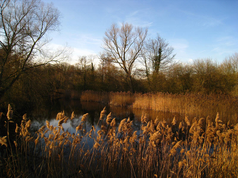
The beautiful late afternoon sunshine creates some lovely colours

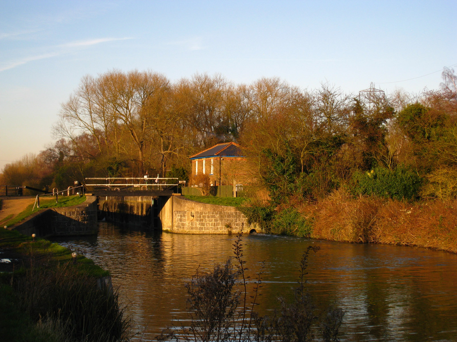
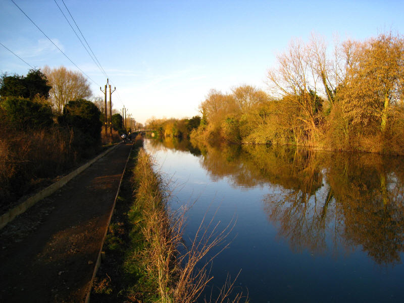
Approaching the lock, where we are about to reach the closed towpath
Spurred on by all the other people using it earlier, we make easy progress along
the "closed" towpath, with lots more people using it, and so return to the car
after an expedition which had a short but grotty middle section but was
otherwise a delight.
20 January 2008 - Fishers Green to Holyfield Weir and back along Lee Navigation
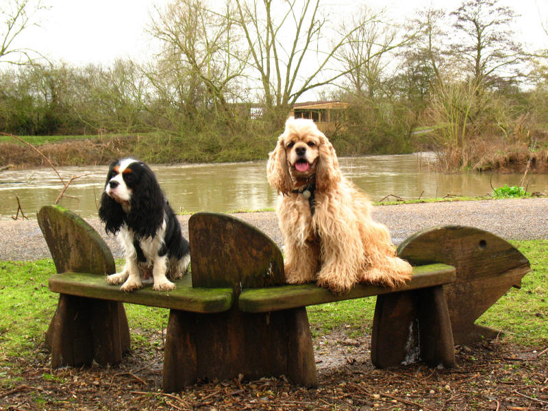
Ellie and George take a seat as we walk past the meeting of the flood relief
channel (nearer) and River Lea (further) before their combined waters flow off
to the left.
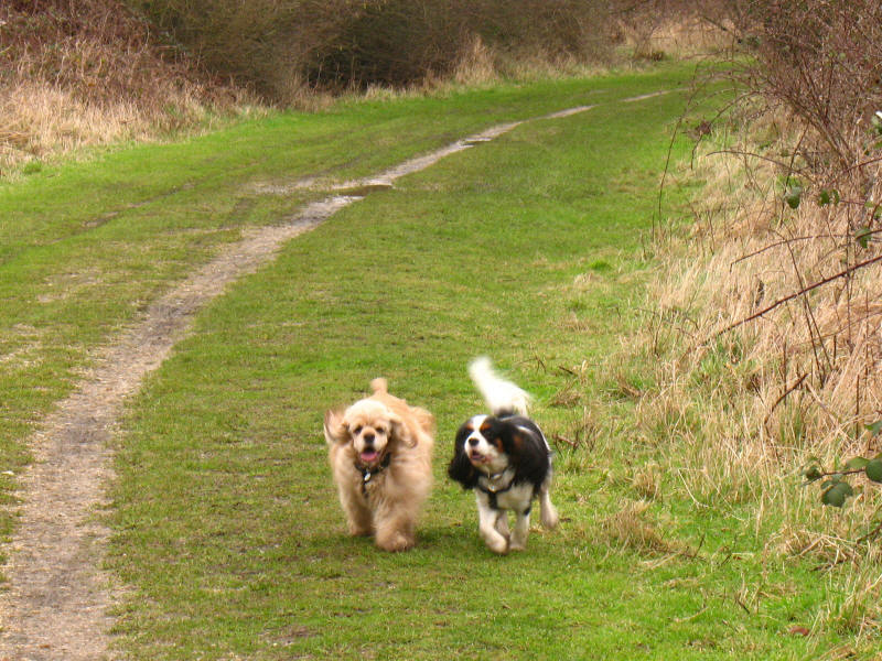
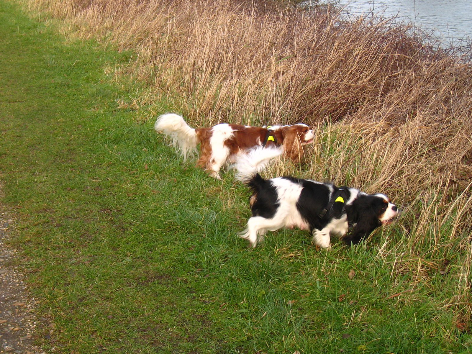
George and Ellie running back to fetch us.
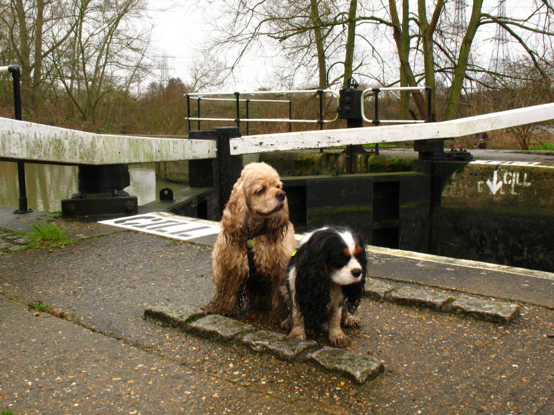
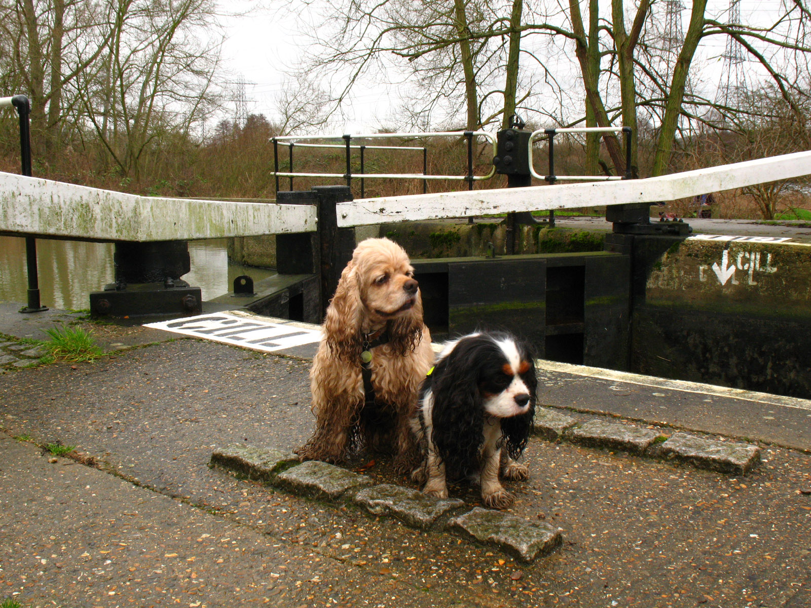
Two muddy dogs by the lock
13 January 2008 - Fishers Green to Holyfield Weir & back around Seventy Acres
Lake
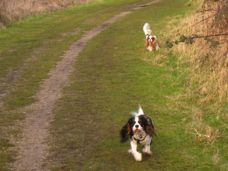
Ellie and Henry by the flood relief channel on a walk up the west side of the
flood relief channel from Fishers Green

Grazing dogs: the message doesn't seem to have sunk in with these two - you are
dogs, not cows!

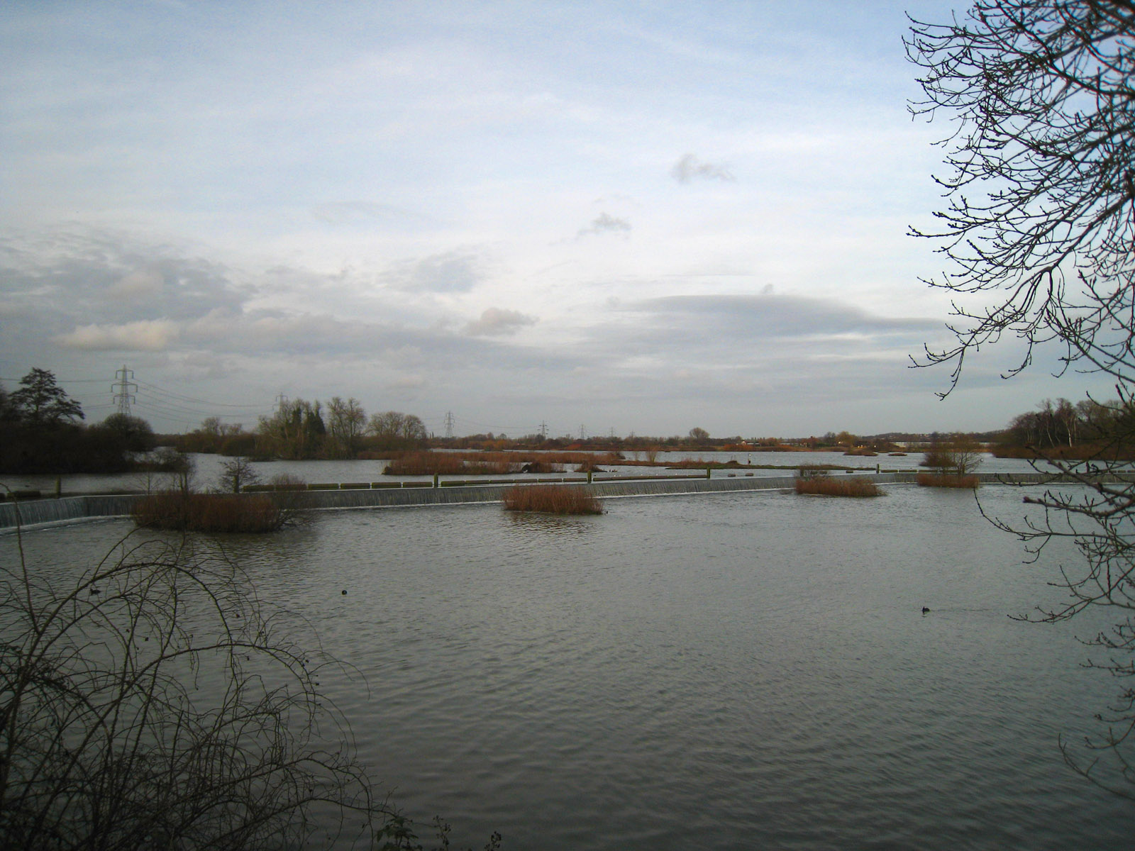
Holyfield Weir, with a fair bit of water coming over it. Last time Stephen was
here in the summer, it was virtually bone dry.

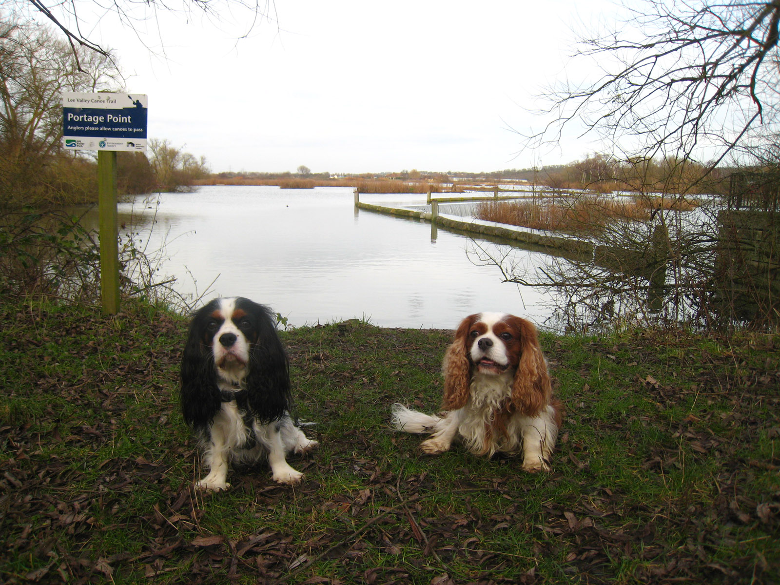
Ellie and Henry above the weir.
|