Thames Path - Cholsey to Reading
16 February 2008
52 weeks ago today, Lucy was stewarding for the Maidenhead dog show at Reading,
and Henry and Stephen walked along the Thames Path from Reading to Henley. A
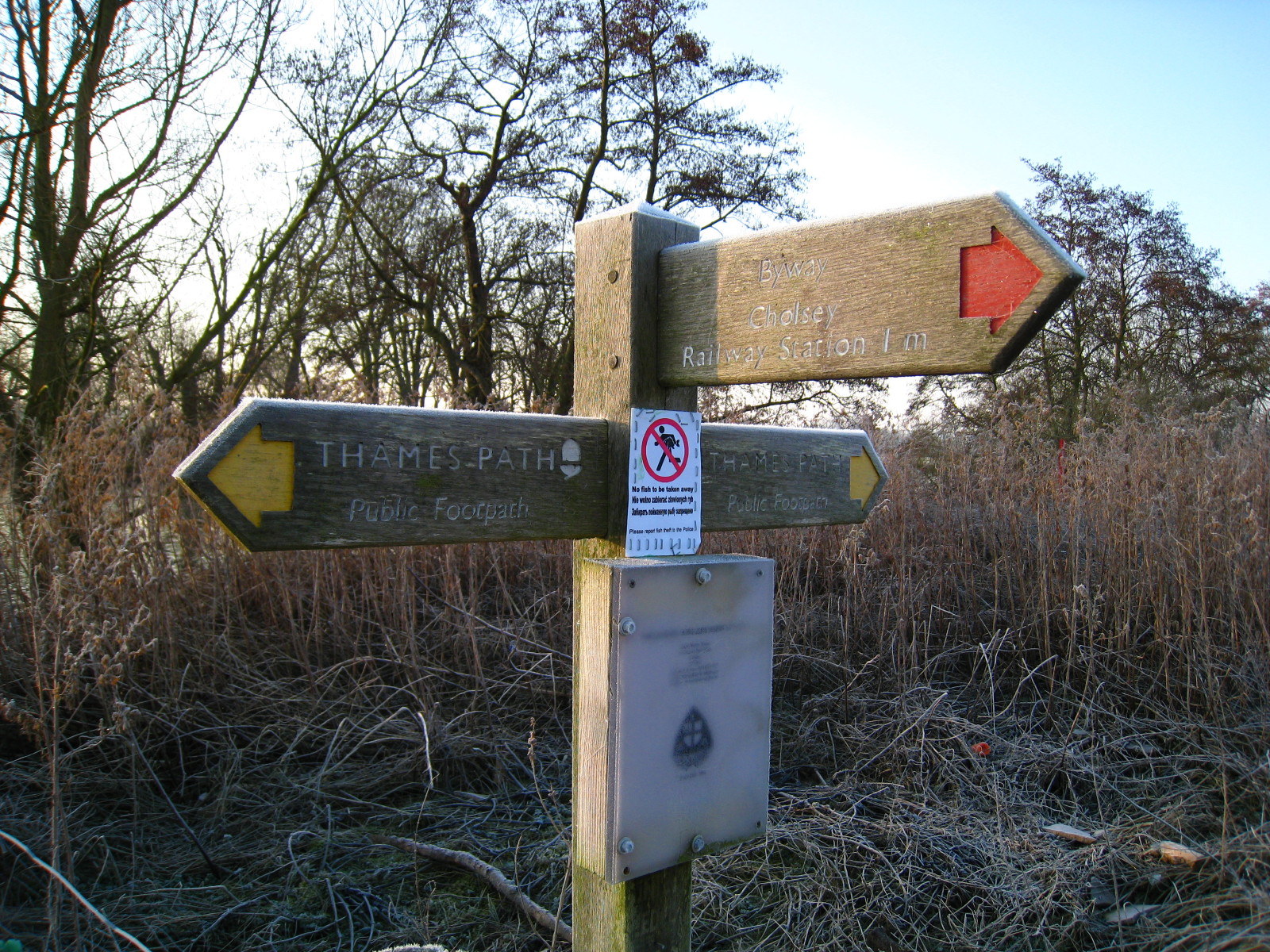
year on, it was stewarding time again and this time it was George's turn to
accompany Stephen, being dropped off at Cholsey and walking to Reading.
Unlike our walk along the Thames three weeks ago,
a check had been made in advance with
the Environment Agency's website, which confirmed that there were no flood
watches or flood warnings in place, and so that the path should be safe to walk.
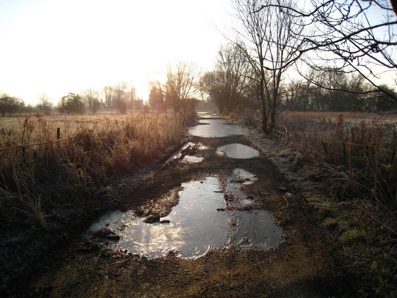
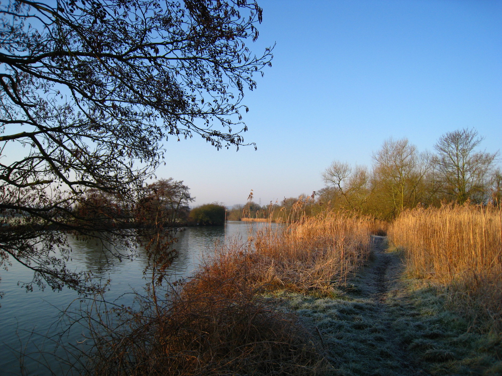
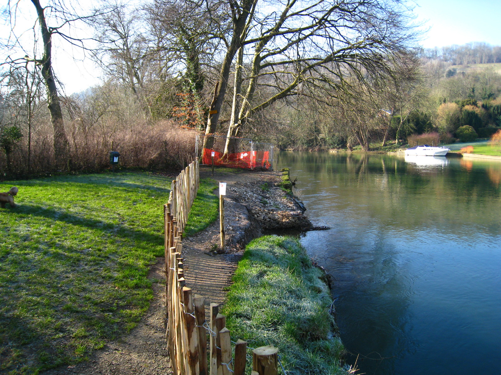
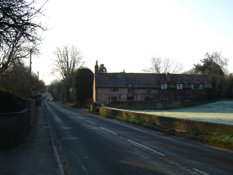
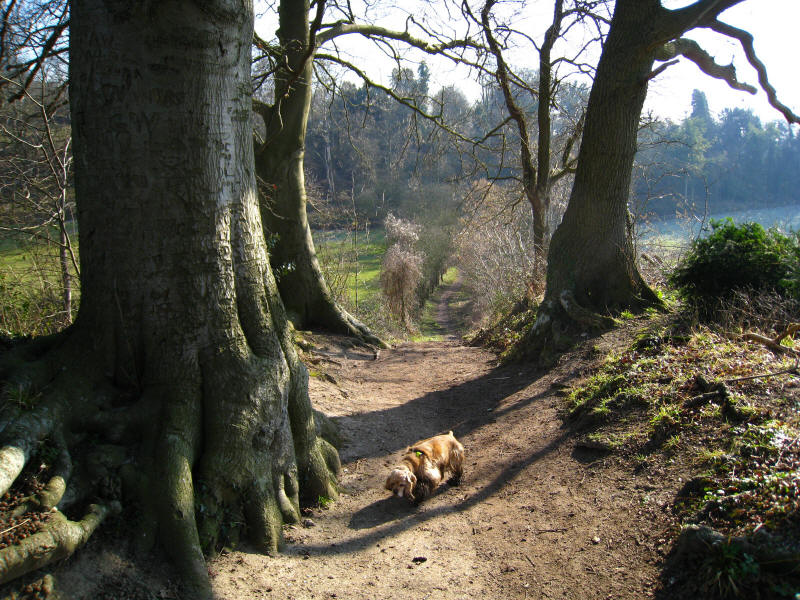
Lucy dropped us off on Ferry Lane, where there were slightly ominous signs of
flooding, now frozen, but we made our way round this without major difficulty,
and it proved to be the only real encounter we had with water during the day.
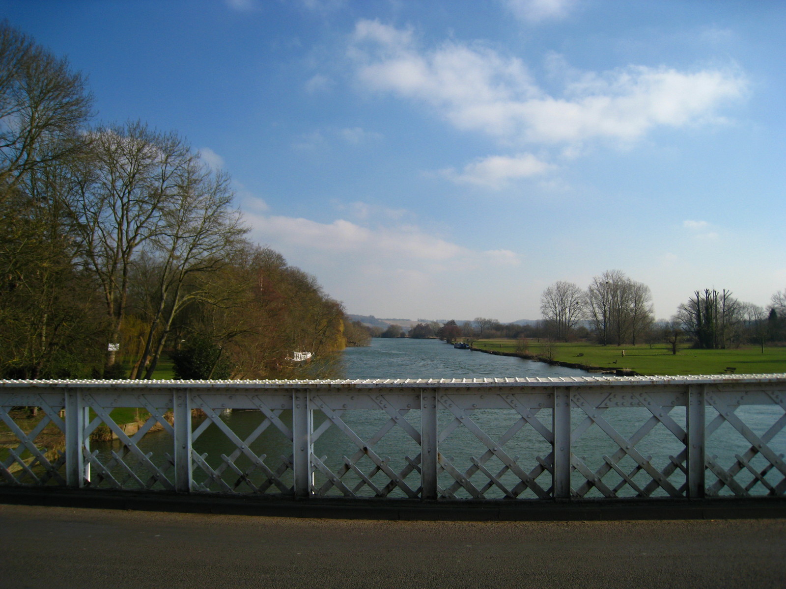
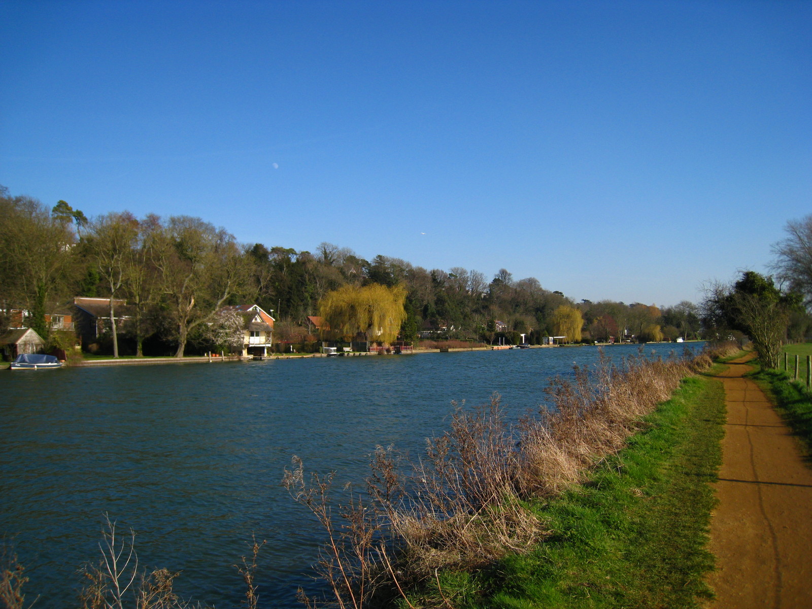
Safely arrived at the Thames Path itself.

The hint in the name Ferry Lane was that the towpath has swapped sides, but with
the modern-day absence of a ferry the Thames Path continues along the west side
of the river on this frosty February morning.
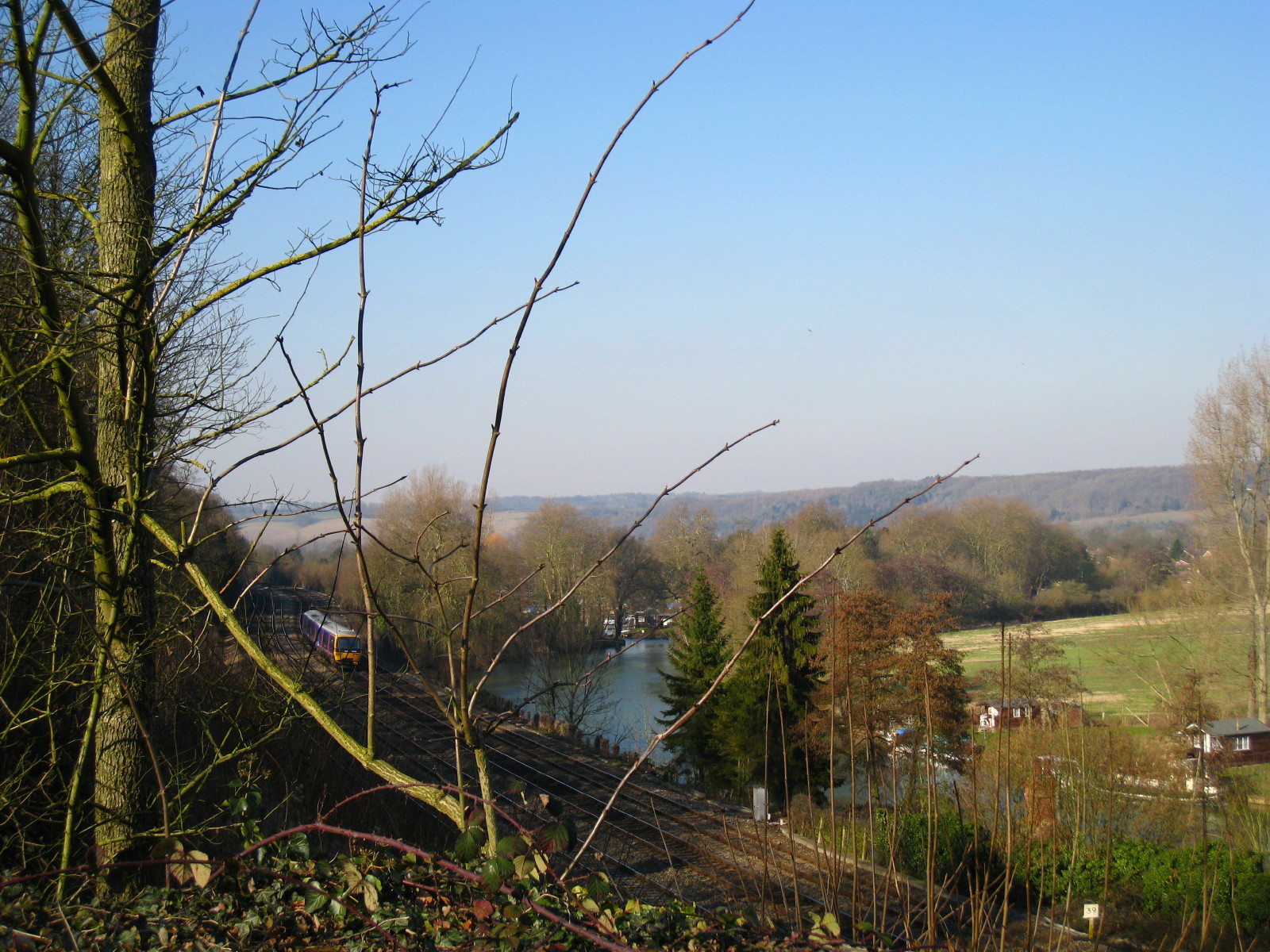
So after a bit of riverside walking and going under the Great Western railway
mainline, we walked along the A329 through Moulsford for a while.
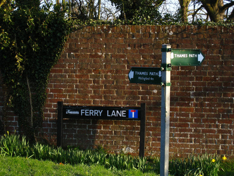
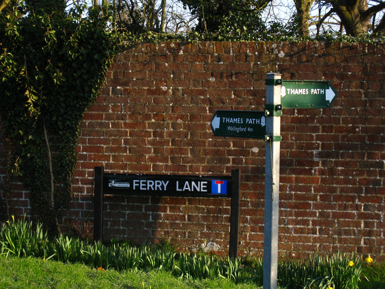
Our second Ferry Lane of the morning takes us back to the Thames
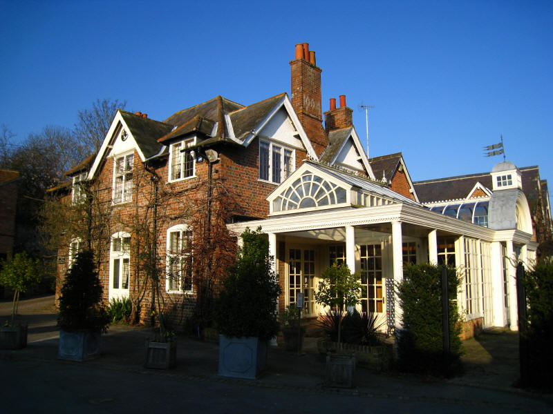
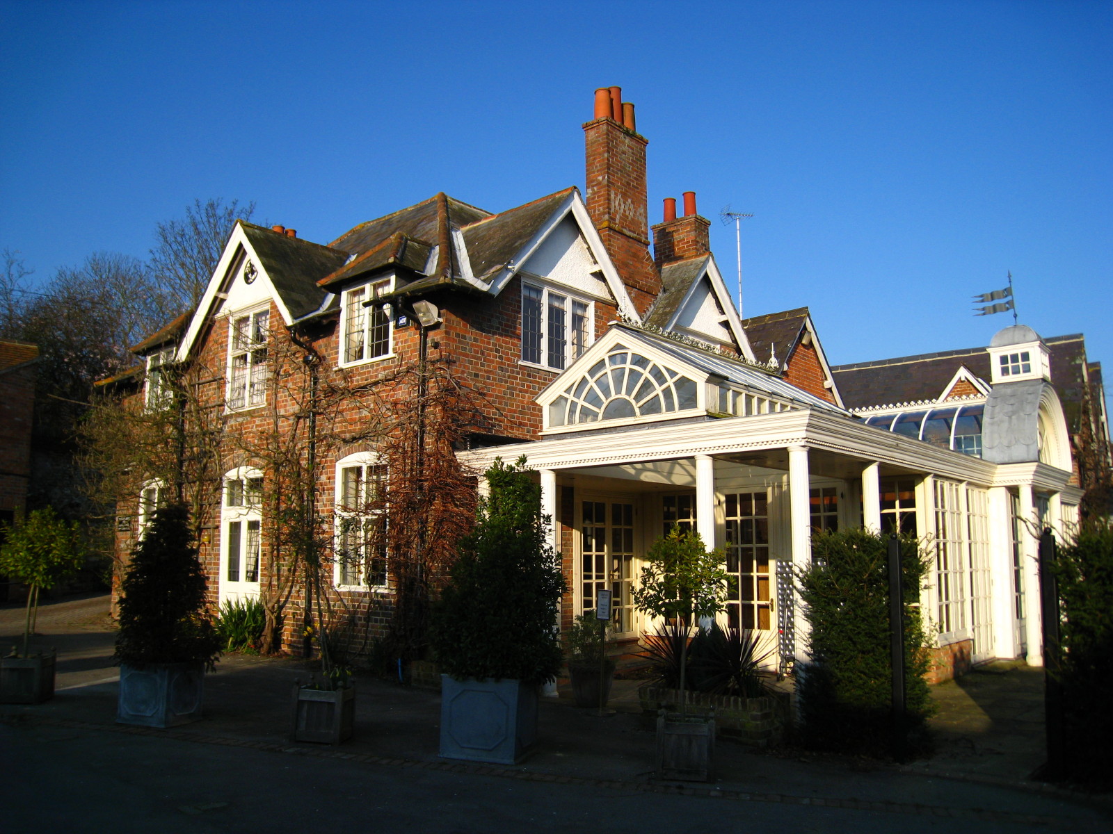
As we reach the river, we find this lovely looking pub, the Beetle and Wedge

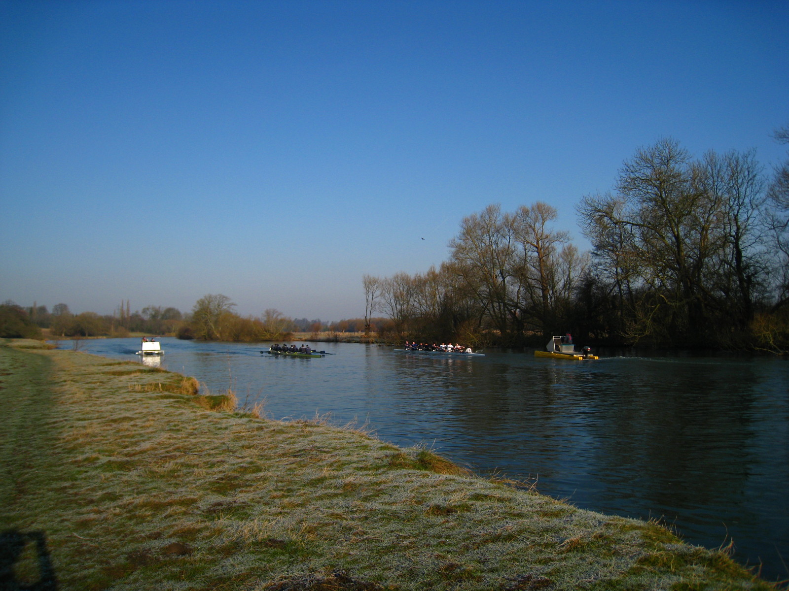
The towpath has crossed the river again at that second Ferry Lane, and so we are
following it for the first time this walk. The world was full of noises - the
sound of oars, the motor boats of the coaches, the twitter of birds and the
pecking of woodpeckers, the honking of swans and the roar of jet engines
overhead. But we had the Thames Path to ourselves for the moment.
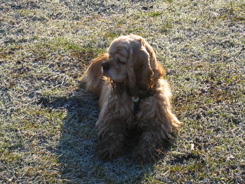
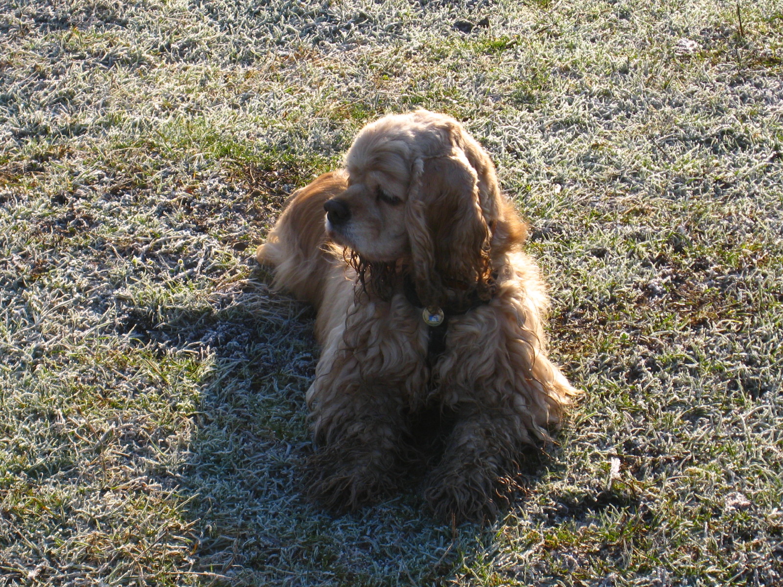
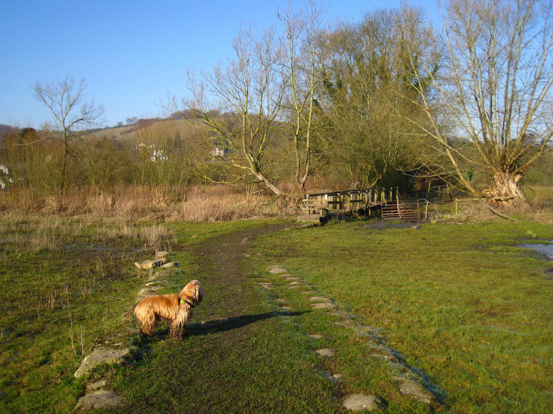
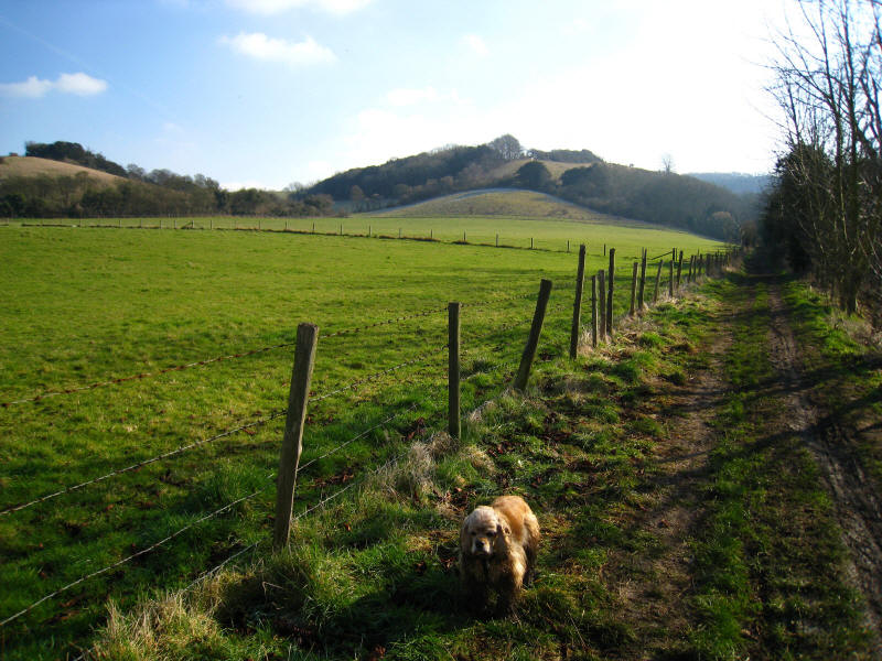
George starting to get muddy
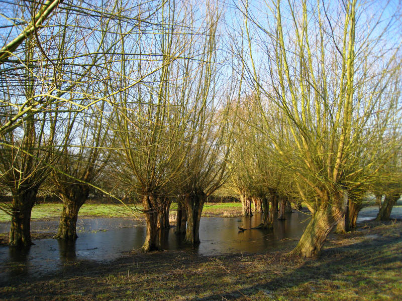
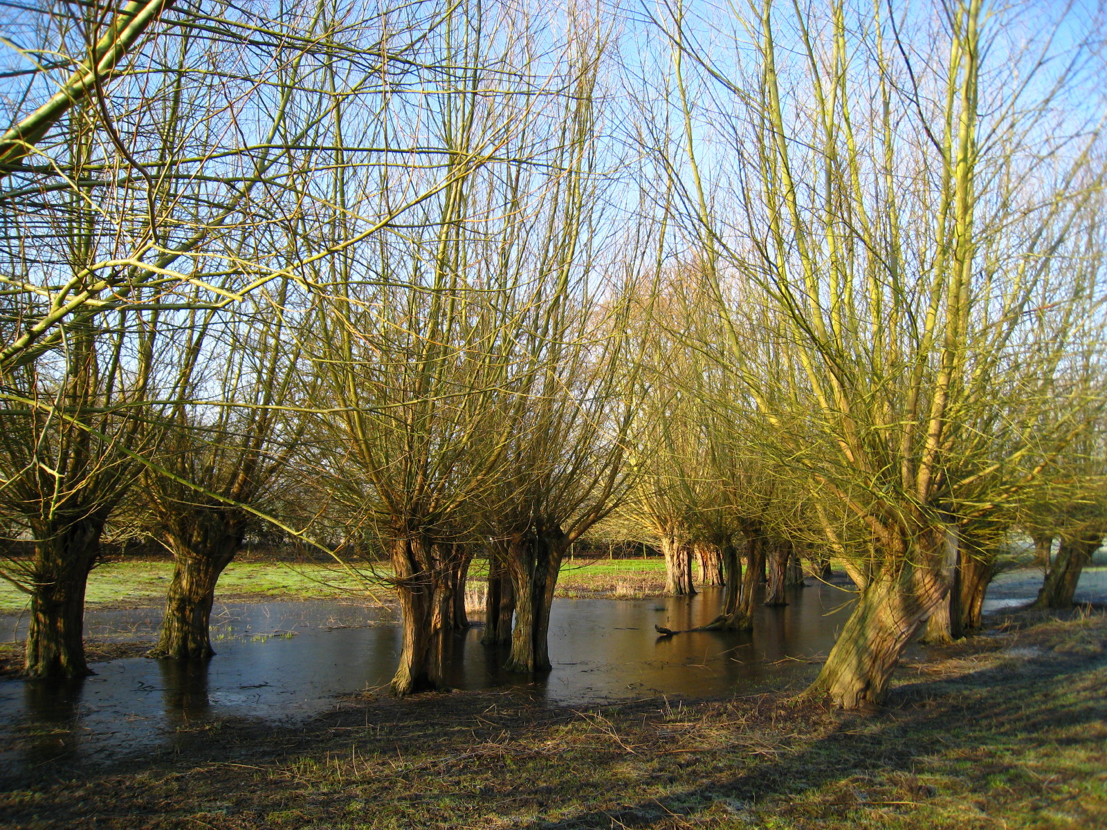
Pollarded trees sitting in frozen floodwaters
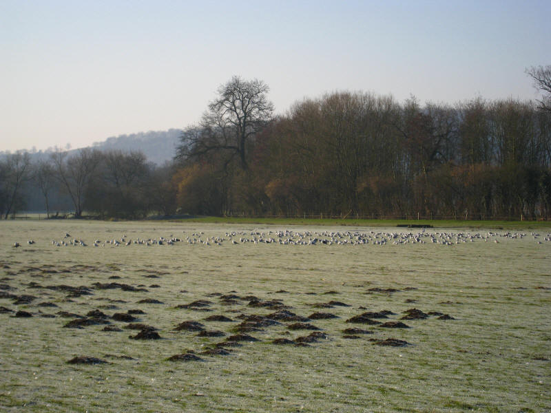
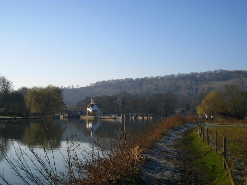
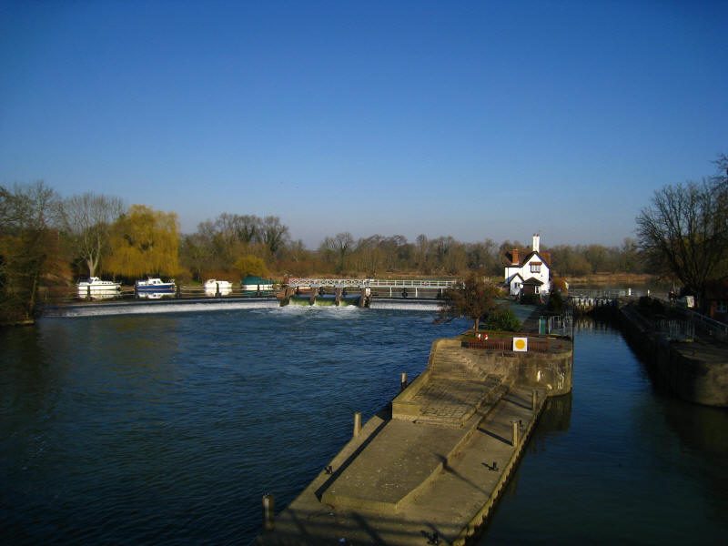
As we near Cleeve Lock, lots of molehills and lots of birds
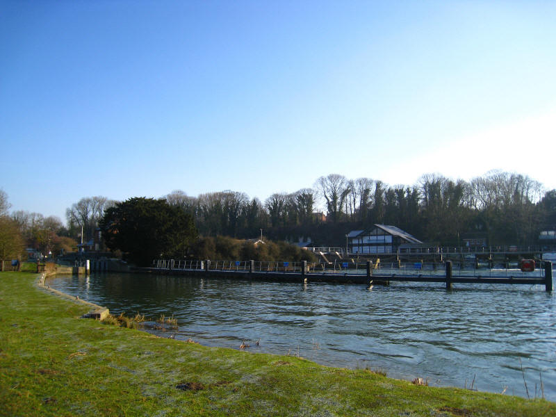
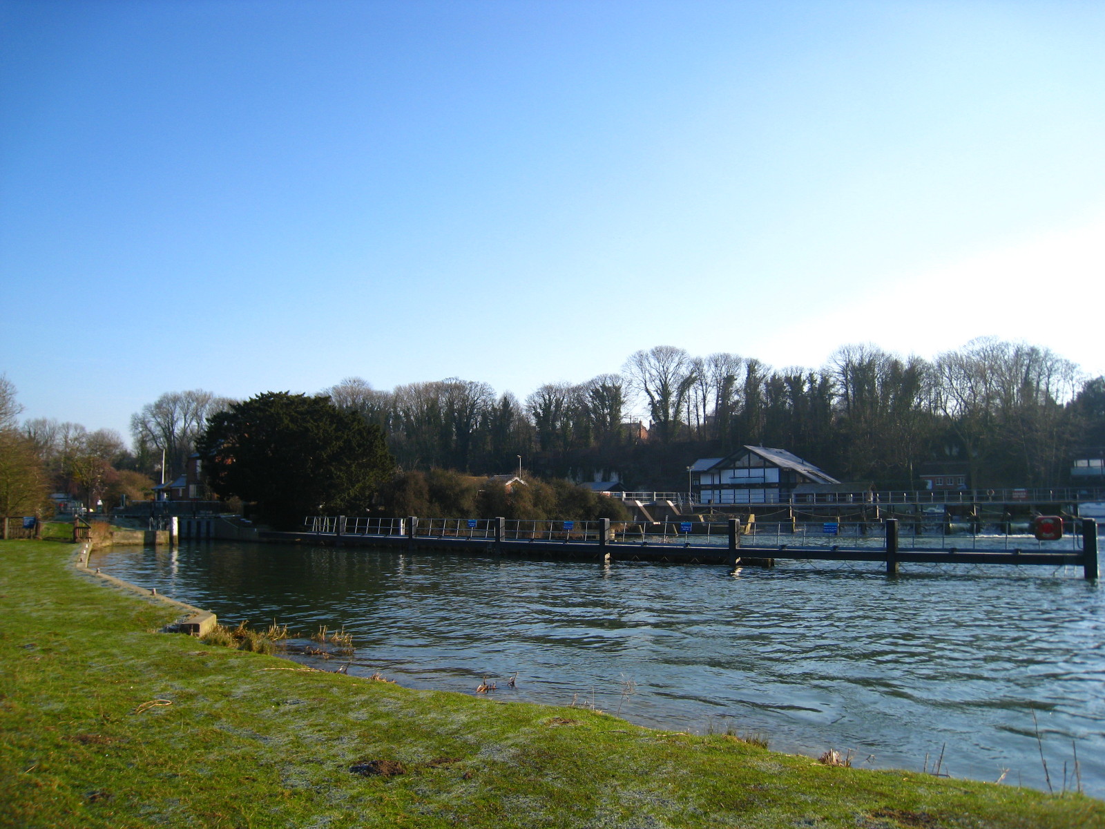
Cleeve Lock and its weir.
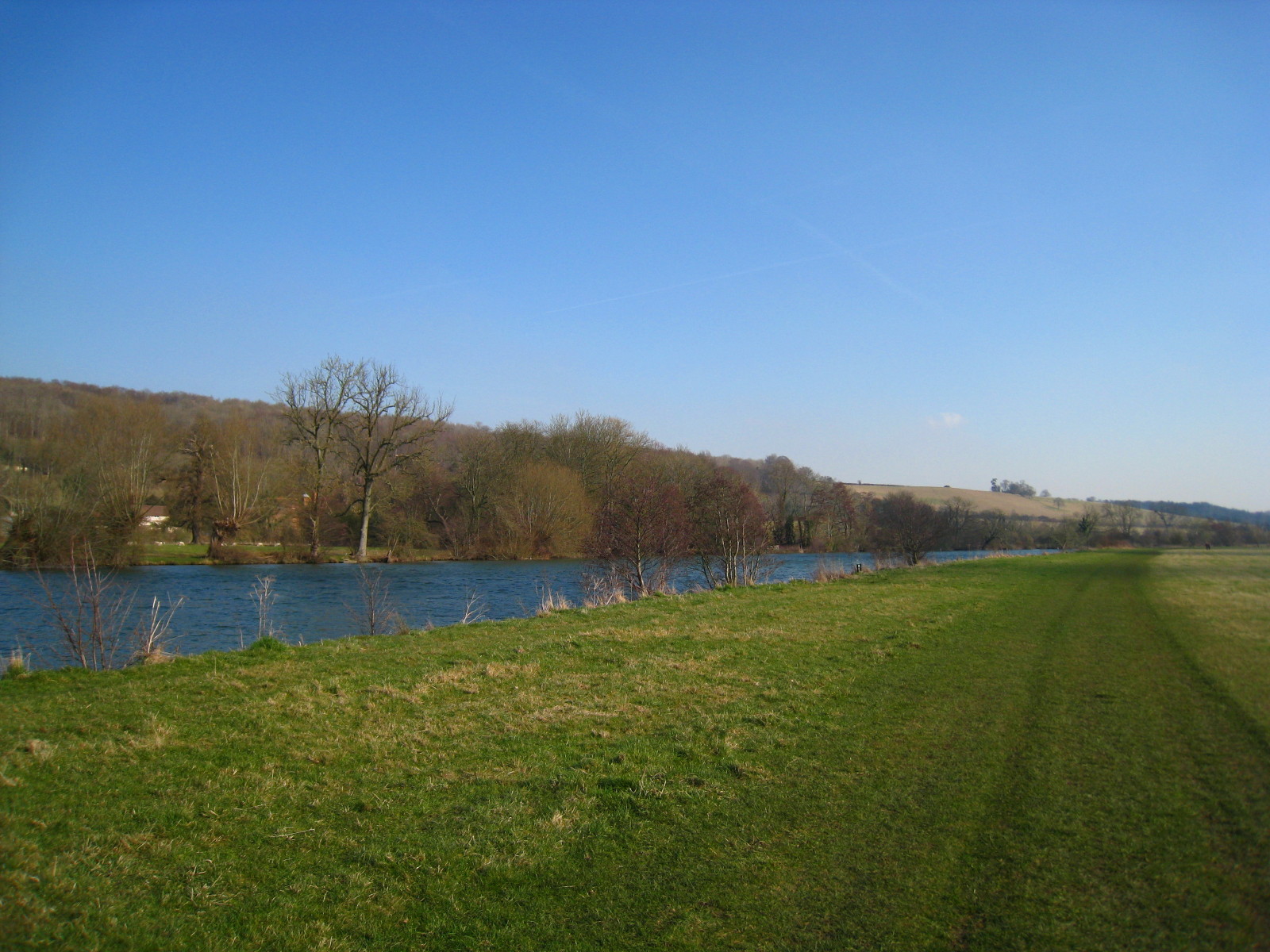
The gap between Cleeve Lock and Goring Lock is the shortest on the modern river,
and it is quite still this morning. On the opposite bank runs the
Ridgeway National Trail.
Approaching Goring Lock, and the hills are closing in on the river as it
penetrates the "Goring Gap", a route pushed through the chalk hills in the last
ice age, before which the Thames had headed north to the Humber.
The Thames Path briefly turns away from the river here, and a raised path has
been built: though raised above the surrounding land by only a few centimetres,
it is enough to keep it much drier.
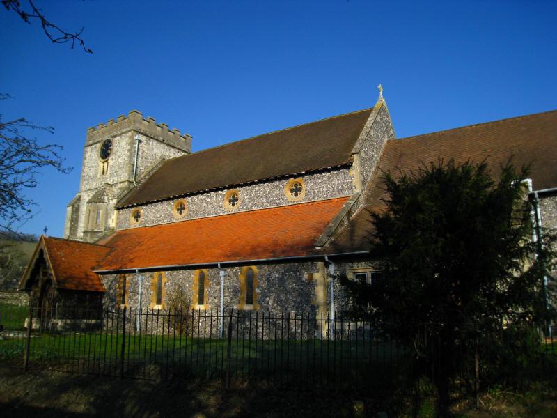
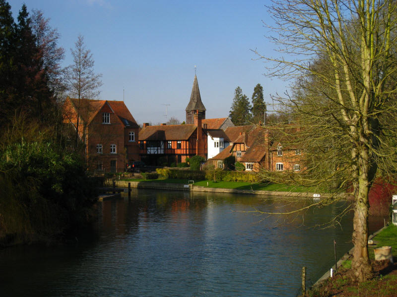
The parish church in Streatley as we continue the little diversion along the
Thames Path away from the river
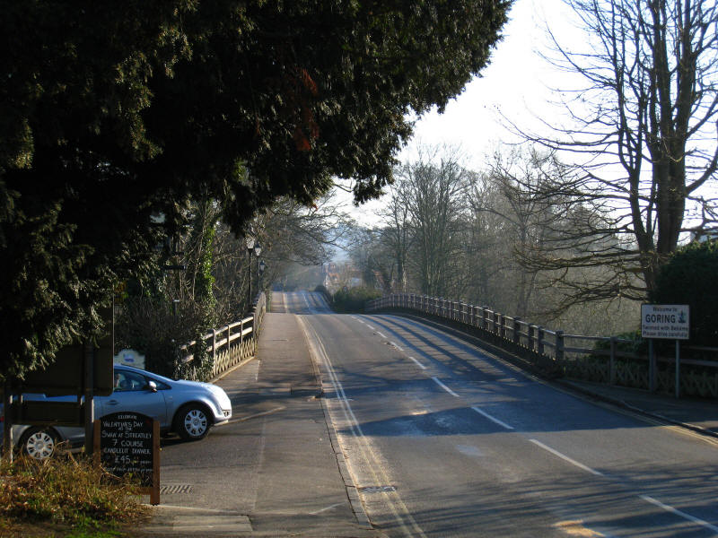
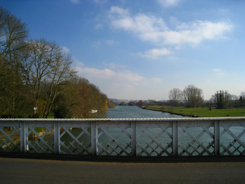
We reach the double bridge of the B4009 across the Thames from Streatley into
Goring, sharing the crossing with the
Ridgeway Path
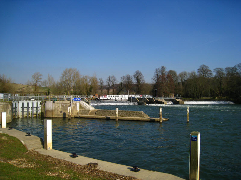
From the bridge, looking down on Goring Lock and the weir

A short distance along the path from the bridge and the mill, we reach a closed
section of towpath, with a notice which announces that the towpath is closed
until 19 February or whenever the towpath is reopened (very helpful!) and that
we should use some combination of Ferry Lane, Manor Road, Footpath Number 4 and
Restricted Byway Number 3a. Locals presumably know where Ferry Lane and Manor
Road are, but not strangers using the Thames Path, and no-one knows where
numbered footpaths are. Roads aren't generally named on OS maps, nor are
footpaths or restricted byways numbered. To make matters worse, I could see no
sign of a restricted byway (or a road used as a public path, restricted byways'
predecessors) on the map. The sign gave no indication of how long the closure
was. Surely it isn't unreasonable, in a closure which dates from August last
year, to think that this level of information is not adequate.
We eventually found our way round the closed section, finding a map of the route
about 600 metres into the diversion. We never saw any sign of a restricted
byway, though. The route continued along the towpath on the eastern side of the
river, us walking along the edge of the Chilterns Area of Outstanding Natural
Beauty with the north-eastern edge of the North Wessex Downs AONB on the other
side of the river. You really can see the Goring Gap through which the Thames
burst in the ice age.

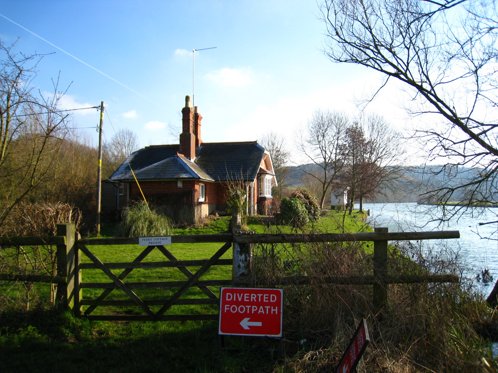
We reach Ferry Cottage near Gatehampton Manor and it is time for the Thames Path
to turn away from the Thames again as the towpath jumps to the other side.
Another footpath closure here does not affect us - and is rather better signed.
We make our way along a track with the Chilterns making their presence felt.
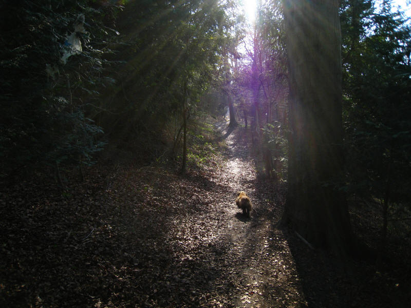
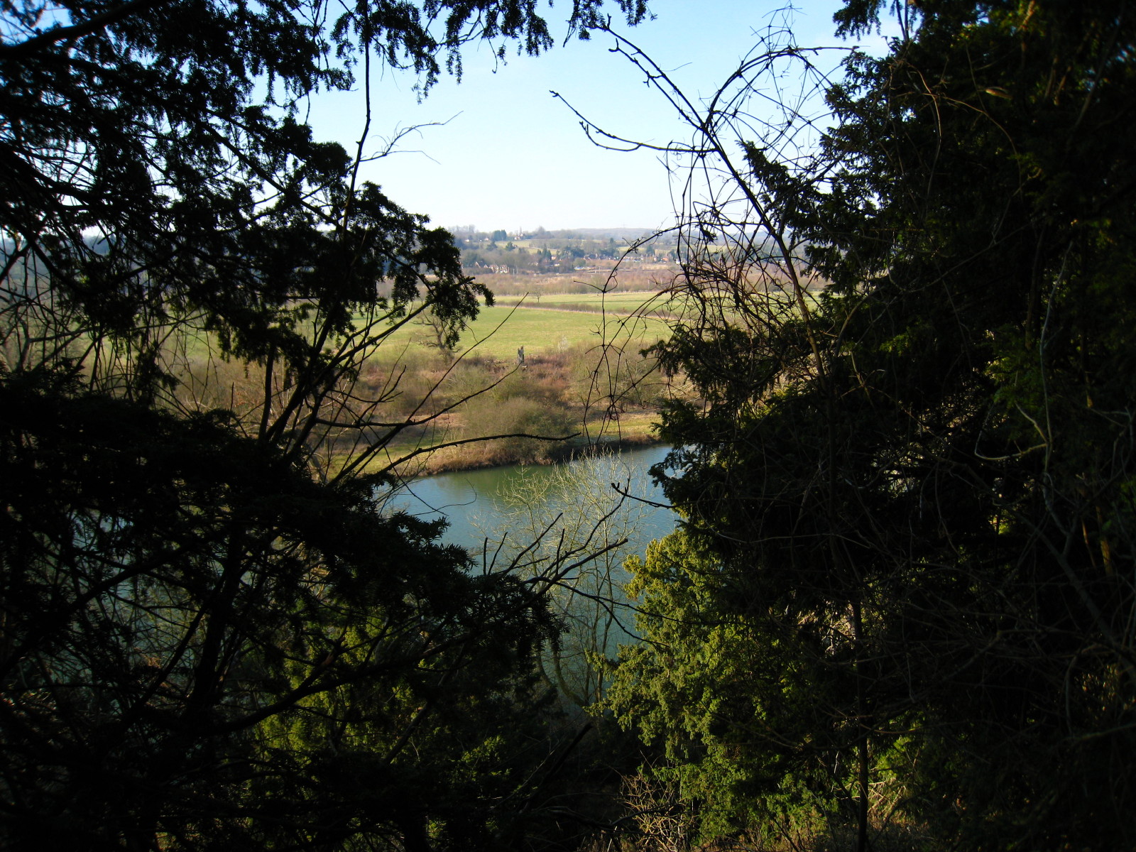
There then followed a delightful section along a gradually climbing track
through woodland known as Lower Hartslock Wood and Hartslock Wood. There is no
Harts Lock, it having been removed in the 19th century.
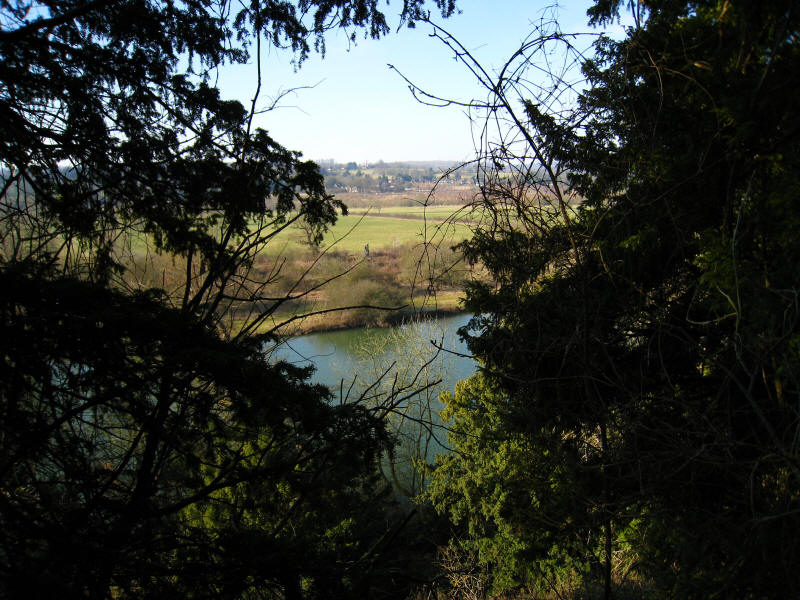
Looking down on the Thames through the wood
The path then dips and climbs again in a section which looks as though it
belongs to the eastern half of the Ridgeway rather than the Thames - the
Chilterns are the common factor, of course.
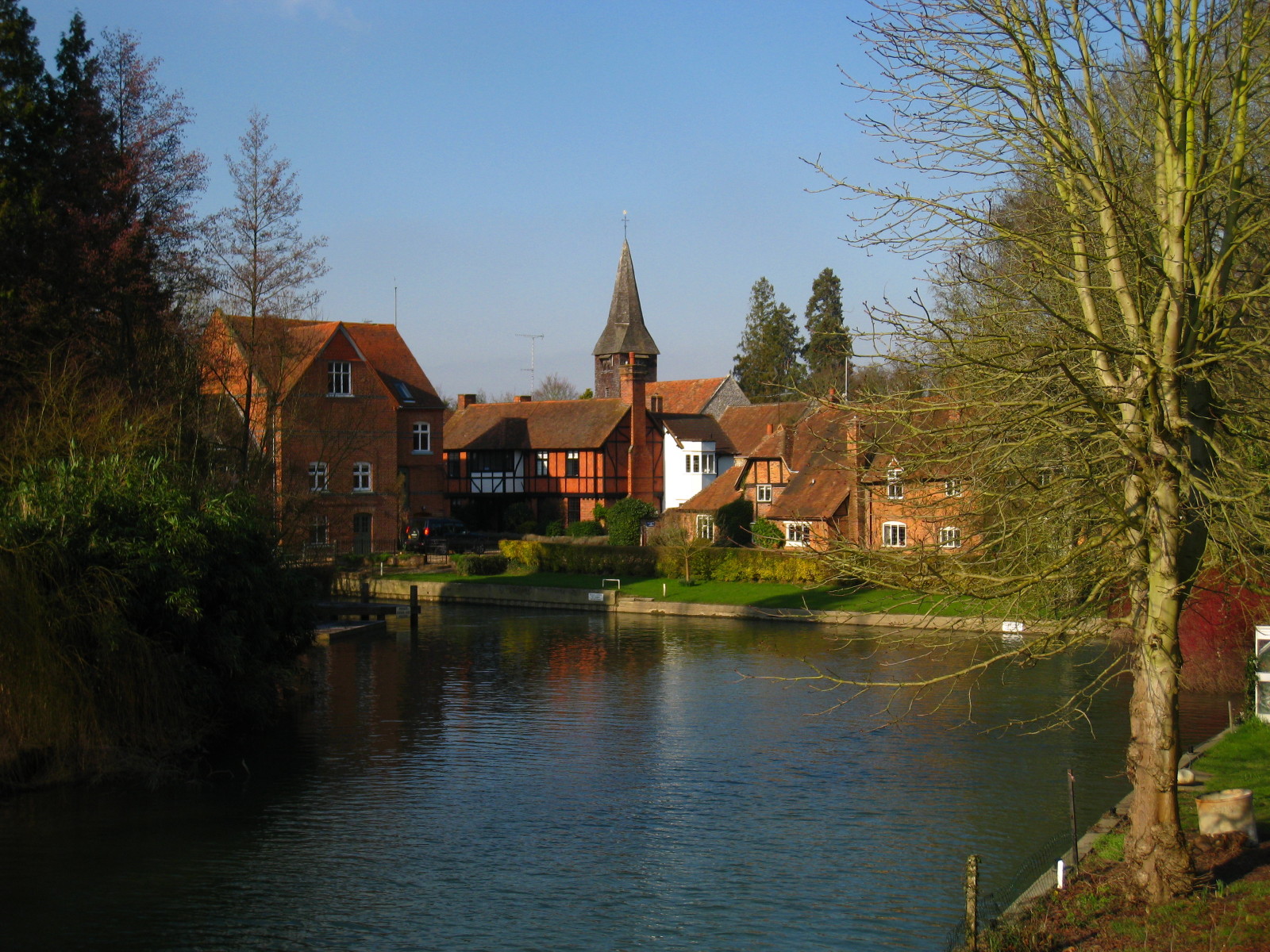
After a very pleasant route away from the Thames, we walked down the hill
through Whitchurch, and from the toll bridge (free to pedestrians) look back to
the church and mill.
Looking downstream from
Whitchurch Bridge,
opened in 1902.

There then follows a long rural section as the river very gradually turns from
ENE to SE as it approaches Mapledurham, with the towpath running along field
edges. Although the day had now warmed up to around 7° and the frost had gone,
the wind had picked up so it actually felt colder than at 8.30. There were more
people about, but it was still pretty peaceful.
The lock and weir at Mapledurham

The towpath swapped sides twice in a short distance below Mapledurham Lock, so
from there the Thames Path takes a rather dull diversion of about two kilometres
through the housing estates of Purley-on-Thames, before we crossed the railway
once more and returned down to the towpath
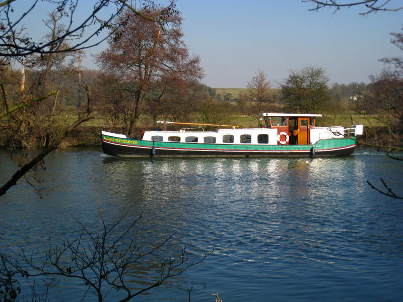
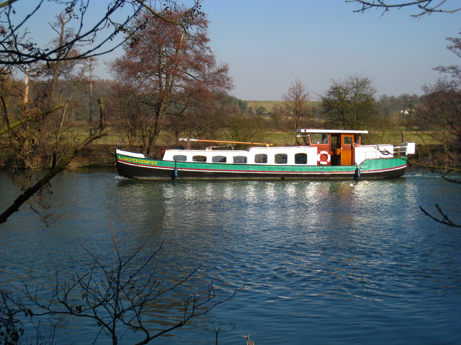
A Dutch-barge-style boat goes by, later to pass us again going the other way.

Making our way along the Reading West riverfront, looking across to the houses
of Caversham
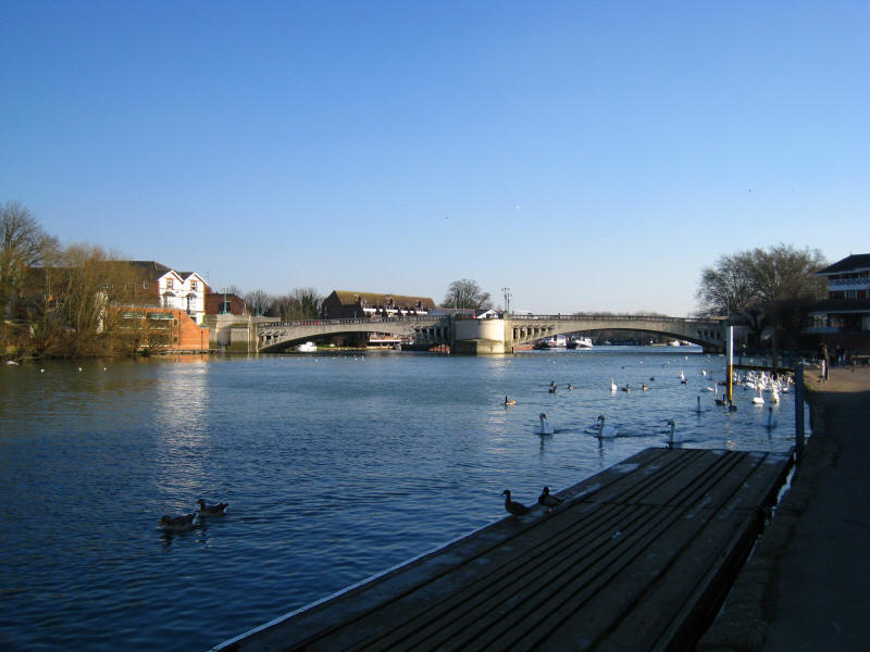
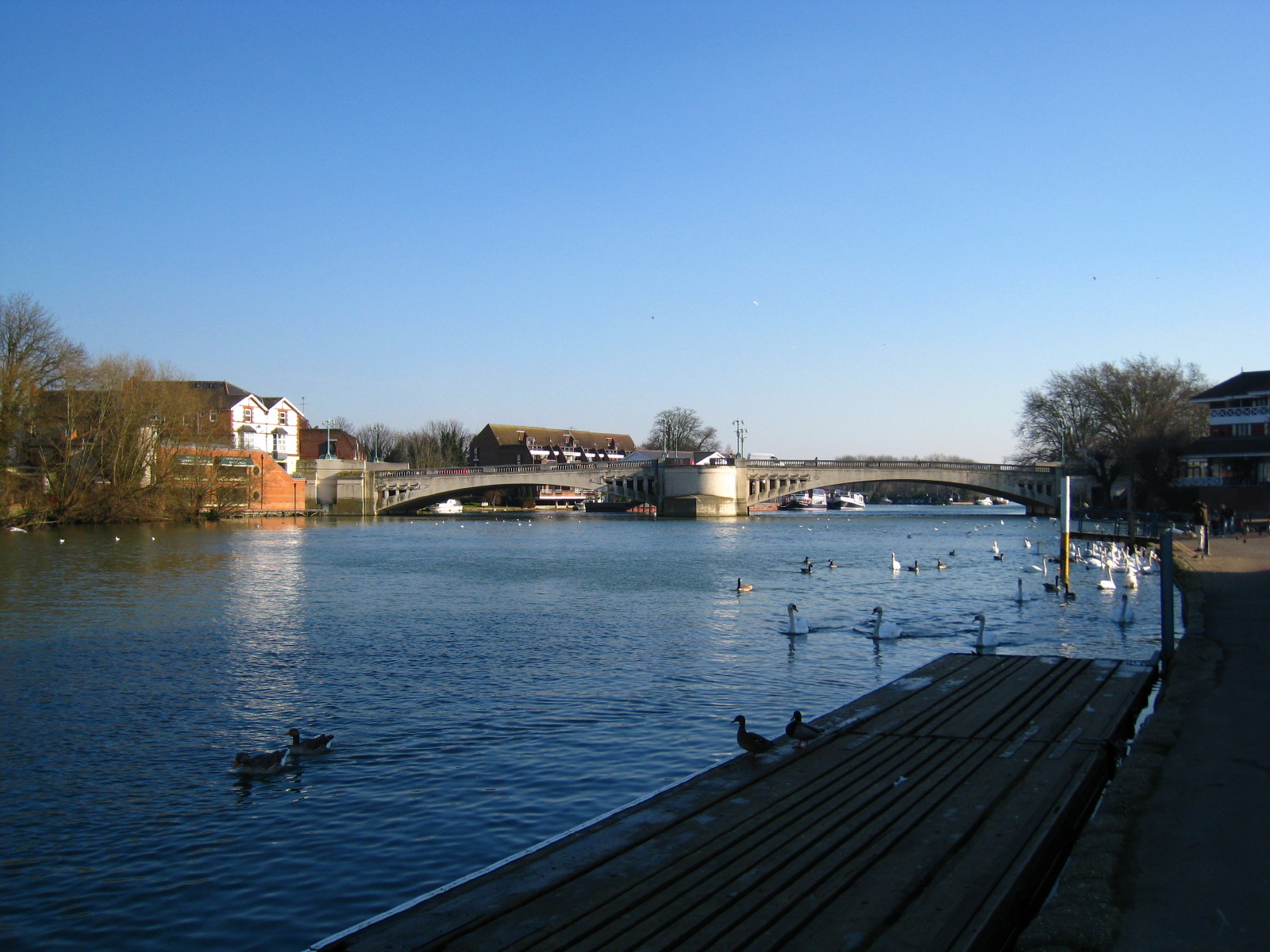
Caversham Bridge, and we are almost at journey's end - a short walk to the
bridge to link up with the walk to Henley, and then back across the fields to
the leisure centre where the dog show was taking place.
A delightful walk, in beautiful weather.
Total 25.1 km (including links and diversions: 23.8 km of the Thames Path) in 5
hours 30 minutes, with 268 metres of ascent
 

|