Ivinghoe Beacon & Bridgewater Monument from Aldbury
22 March 2009
Inspired by the excellent walk last weekend from his
new book (Jingo Wobbly Walking Guide - Atchison's Complete Hills of
Britain Volume One: Southern England), Stephen picked a short walk in
the Chilterns for this pleasant afternoon.
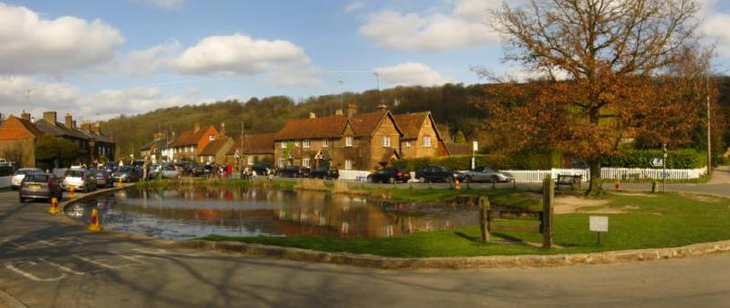
The village green and pond in the lovely village of Aldbury: a bit of a
shame about the cars, but as I drove here I can't complain too loudly.
From here we walked up to the pub then turned left down what appeared to
be someone's driveway but was also a public footpath taking us across a
recreation area and then field.
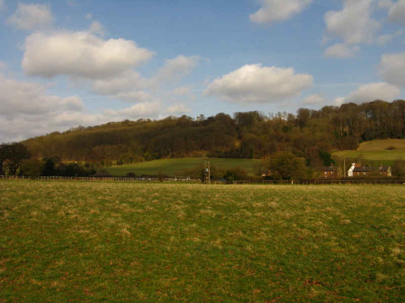
From the field, a look up to the horizon where the Bridgewater Monument
is just visible among the trees - we will be visiting that just before
we come back to Aldbury.
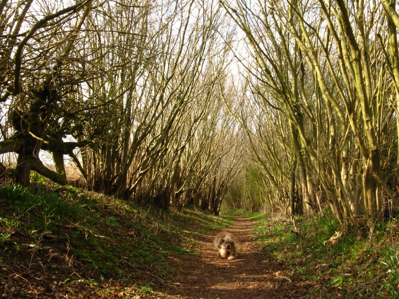
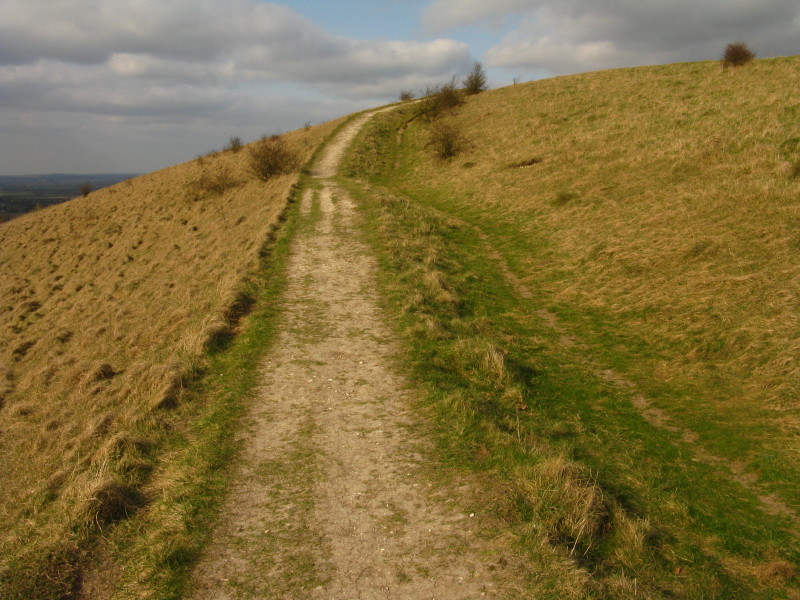
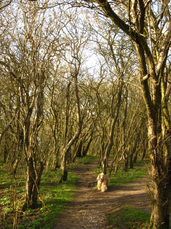
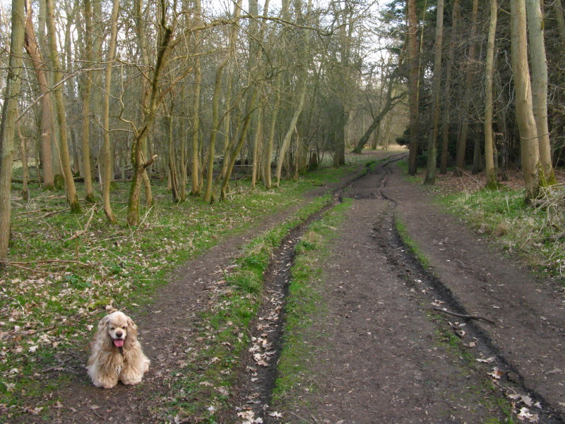
We then took a track, followed by this lovely bridleway
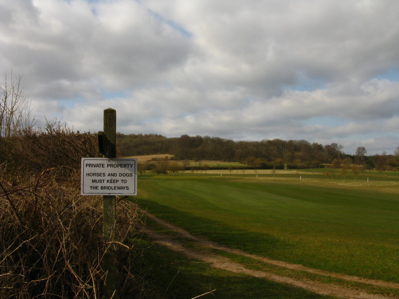
From there we turned off to go across a golf course. The sign is much
more reasonable that my featured sign from last week - though if I was
nitpicking, I would point out that this is a public footpath, not a
bridleway. And it makes you wonder what the rules are for all the other
creatures around (including humans).
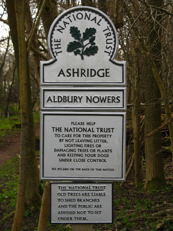
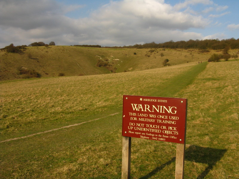
Safely across the golf course, we enter the Aldbury Nowers woodland,
part of the Ashridge Estate across which we will be walking for much of
the rest of the afternoon.
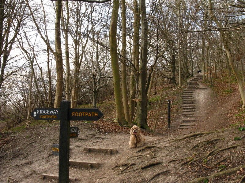
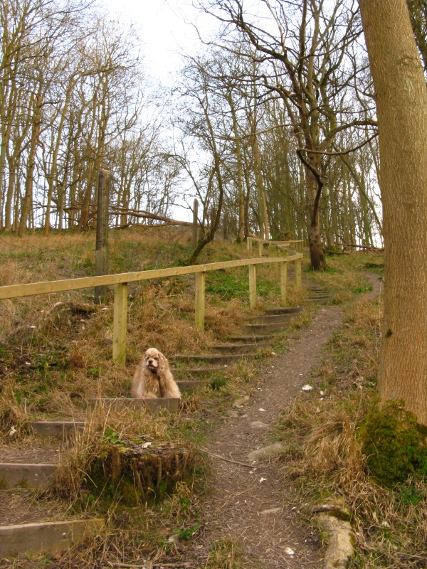
We soon reach the
Ridgeway National Trail, which we'll be following all the way to
Ivinghoe Beacon, and begin our acquaintance with some steps.
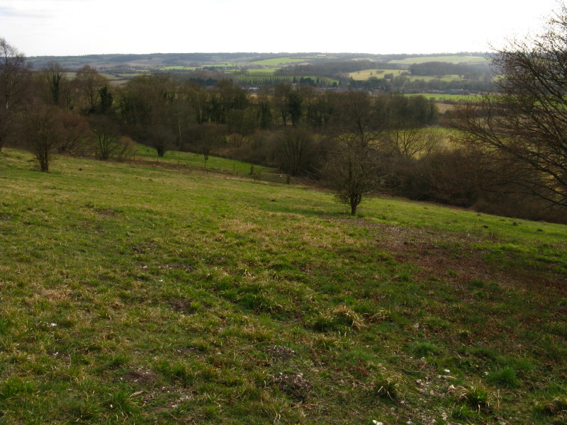
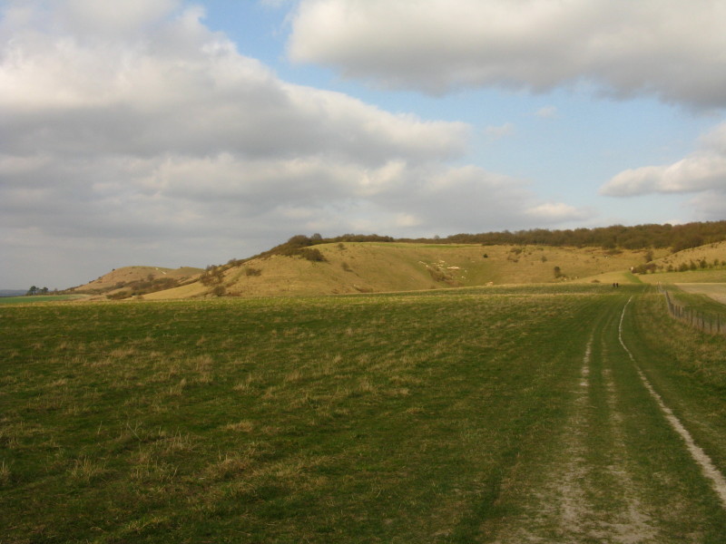
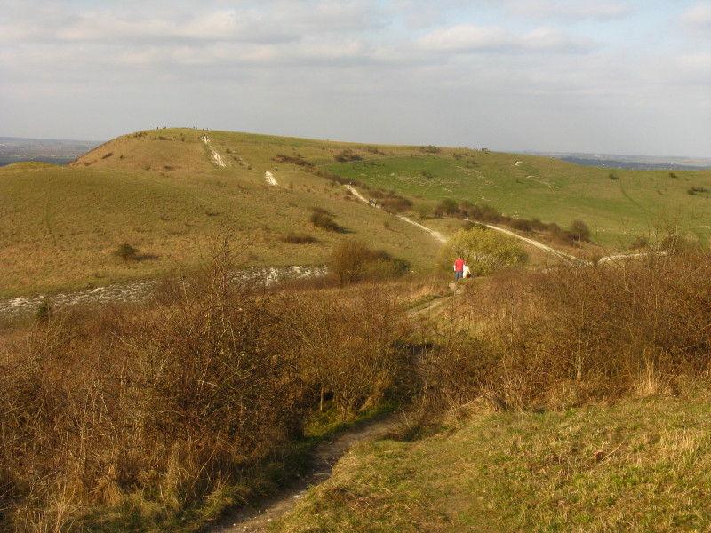
Once up the steps, we are walking along the edge of the Chiltern
escarpment. Here we look towards Tring. This chalk grassland is under
restoration, with the scrub having been cut back and the field now
winter-grazed, encouraging chalk grassland flowers to colonise: not much
to be seen at the moment, though it is still early in the process.
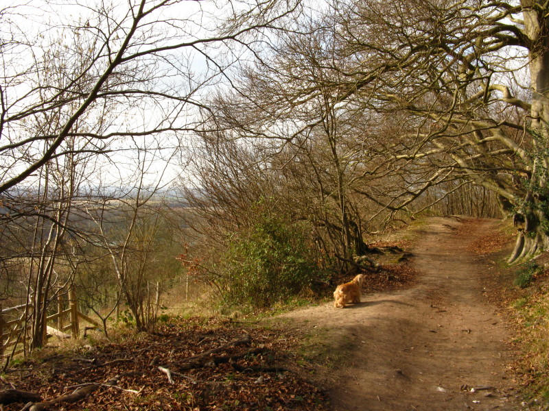
Walking through woodland along the edge of the escarpment.
We emerge from the woodland. Much of the Ridgeway from where we joined
it has been along the course of Grim's Ditch, but only when we get out
of the woodland does the ancient bank and ditch become more apparent.
Grim's Ditch is a name given to several similar earthworks in southern
England dating from various times, some apparently for defensive
purposes and others seemingly simply marking tribal boundaries.
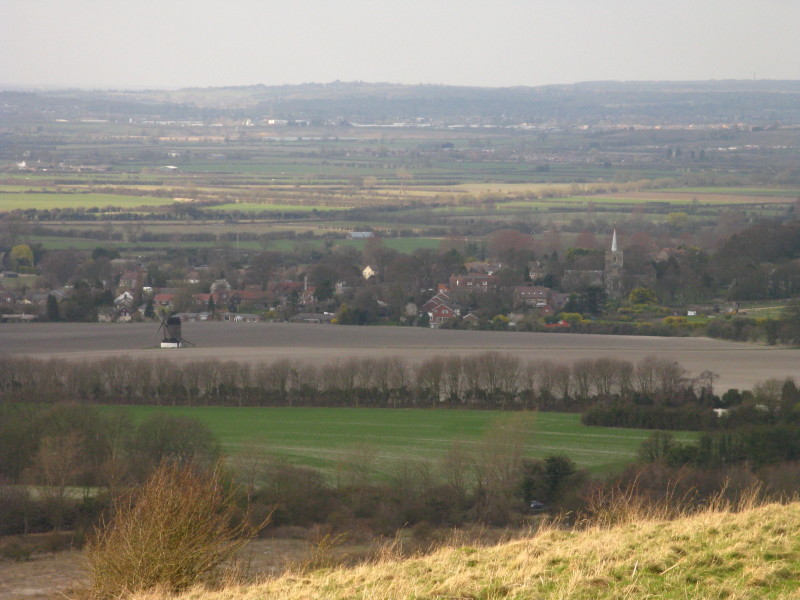
Looking down on the village of Ivinghoe and Pitstone windmill, believed
to be the oldest post mill in the British Isles - see the
National Trust website for more.
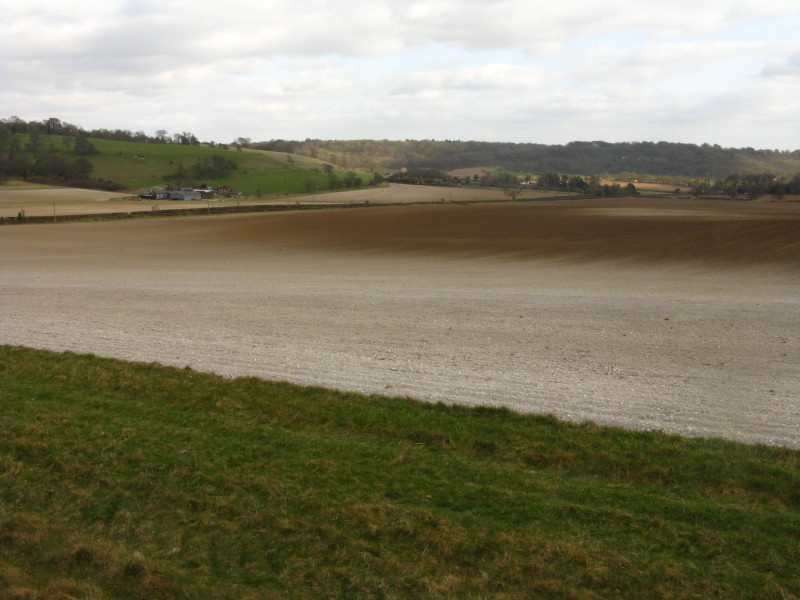
A very chalky edge to this field
After crossing a road, our level walking is coming to an end: centre
picture is Steps Hill, and our objective of Ivinghoe Beacon is on the
left.
Approaching Steps Hill
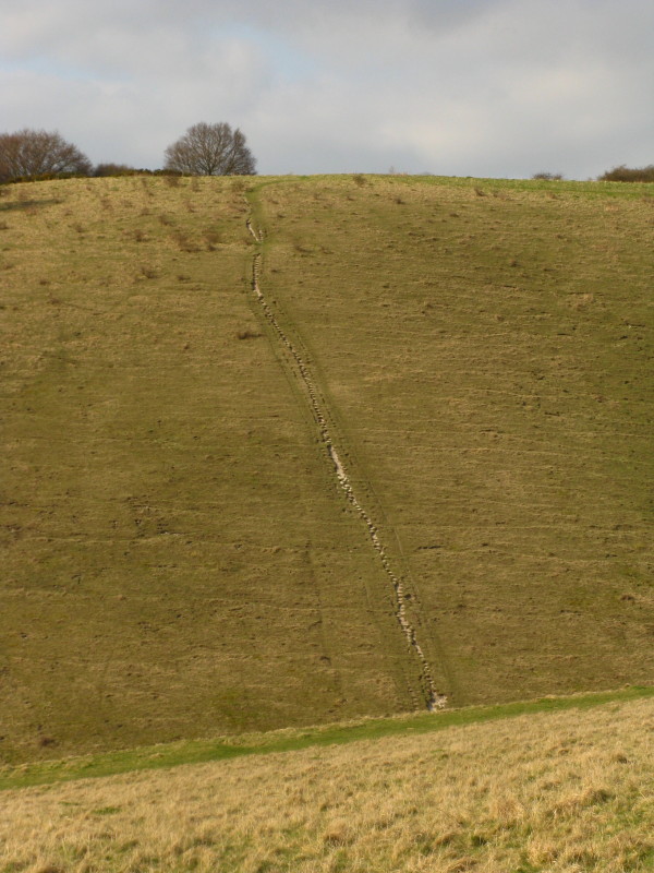
I'm not sure whether this steep ascent route is the origin of the name.
Our route is more gentle
After a pause to soak up the atmosphere on the grassy area of Steps
Hill, we walk through the trees on top of the hill.
We then have a small descent before Ivinghoe Beacon
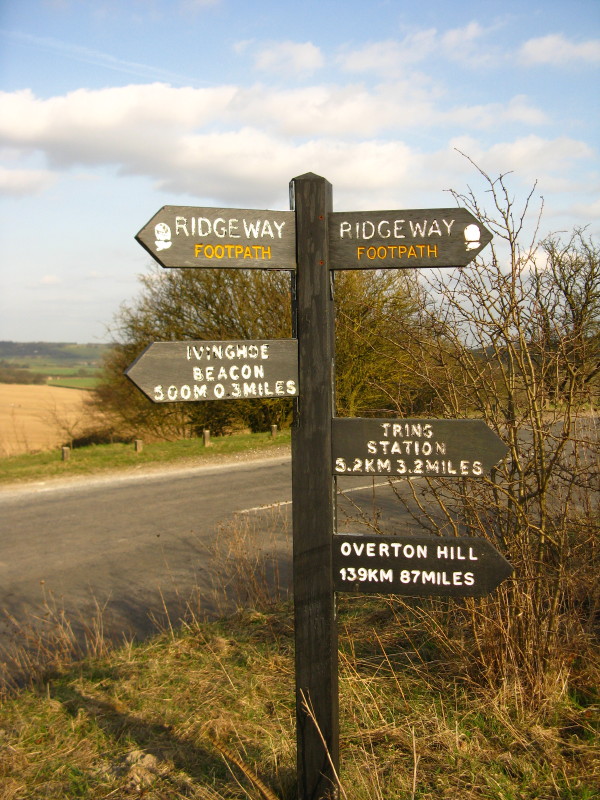
Still on the Ridgeway, and an all-too-rare example of a British signpost
that has both metric and Imperial measurements. These need special
planning permission (unlike Imperial-only signs).
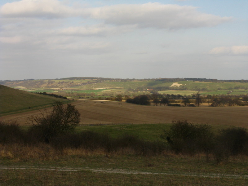
A view to more of the Chilterns escarpment, with the white lion of
Whipsnade
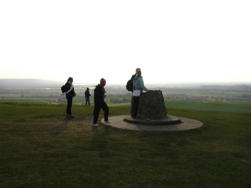
People on the popular Ivinghoe Beacon. I thought that might be a
toposcope, but it is an information board for the Ridgeway National
Trail - this is the end (or the start) of the trail.
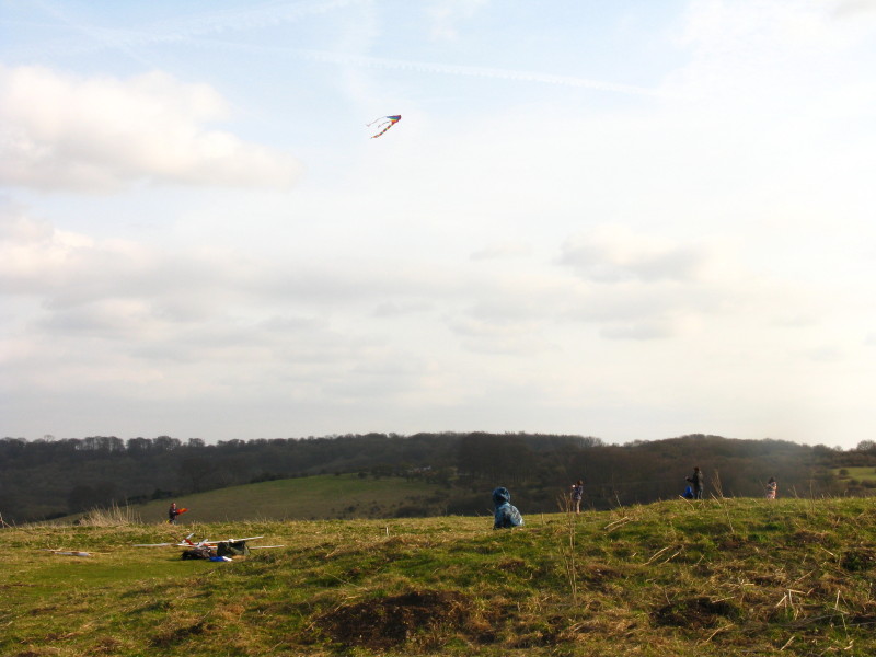
There were several kites as well as model aeroplanes here on a very
windy afternoon.
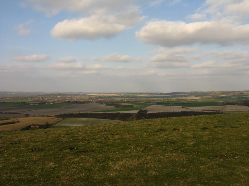
Looking north-east from Ivinghoe Beacon. Or at least what everyone I've
heard, and every book I've read, refers to as Ivinghoe Beacon, but which
the Ordnance Survey calls Beacon Hill.
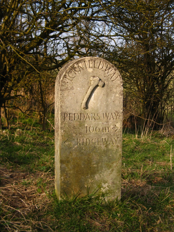
After retracing our steps a short way, having reached the end of the
Ridgeway Trail, this is the start of the Icknield Way, which links the
Ridgeway with the Peddars Way. Together with the Wessex Ridgeway, they
comprise the Greater Ridgeway, the prehistoric route from the south
coast to the Norfolk Coast, south-west to north-east across southern
England. Indeed, the waymarkers on this bit of the Icknield Way
additionally referred to it as the "Ridgeway Link".
After walking along field margins and across some more grassland, we
enter the woodlands of The Coombe.
We climb the path up Hanging Coombe, from where we make a slightly
confused route through Ward's Hurst Farm, where a number of footpaths
have been deleted, created and rerouted.
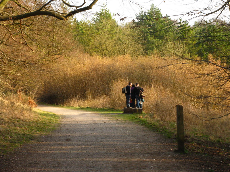
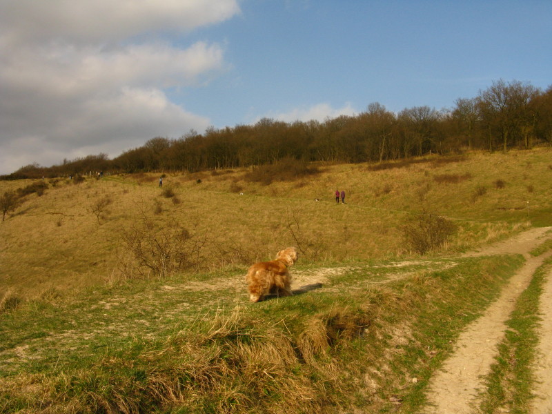
We then enter the woodland of Ivinghoe Common and for most of the rest
of the walk take this pleasant broad path which is also the Ashridge
bike trail. Quite what this group were doing standing on this bit of
wood and staring into the distance wasn't clear to me, even when I
passed them. The view down the valley towards Aldbury was pleasant, but
there was nothing particular to gain from the extra little bit of
height.
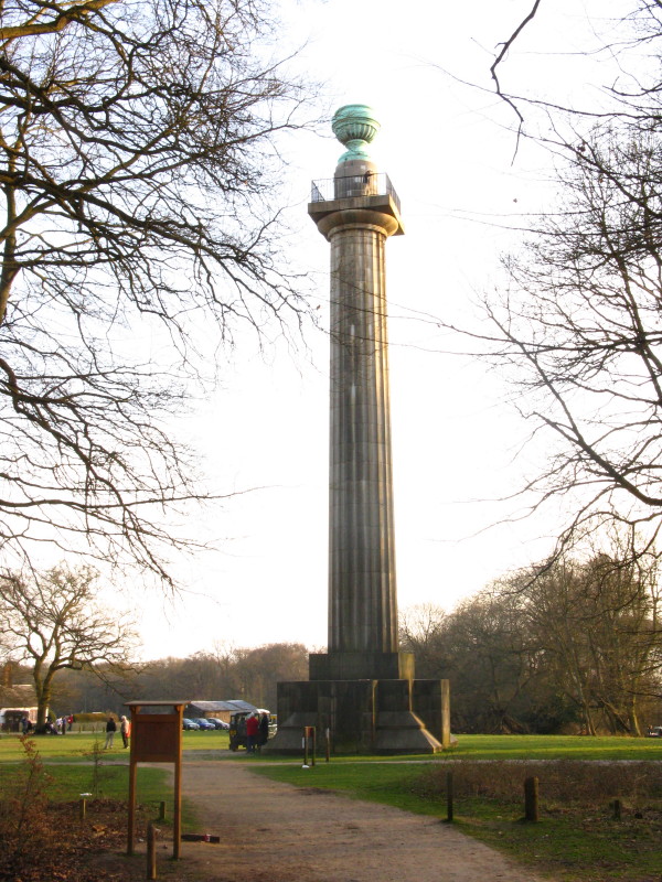
After a couple of kilometres we have moved onto Pitstone Common, and
emerge from woodland by the Bridgewater Monument. The Doric-style column
was built in 1832 to commemorate the third Duke of Bridgewater, the
18th-century pioneer of canal-building. It is 33 metres tall, and
open to the public at weekends
in the summer when you can climb the 170 steps to
the top. (It was closed by the time I got there - and in any case I
don't expect George would have been welcome.)
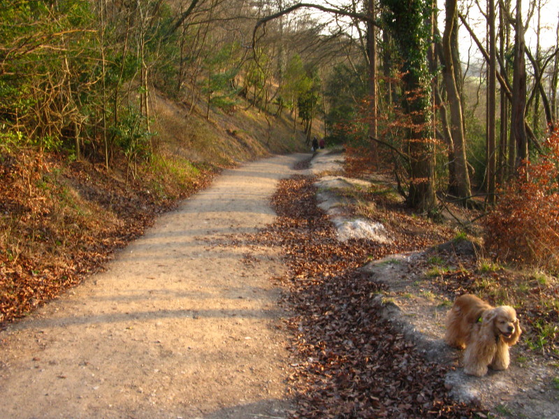
We then took the lovely bridleway descending through the woods of
Aldbury Common back to the village.
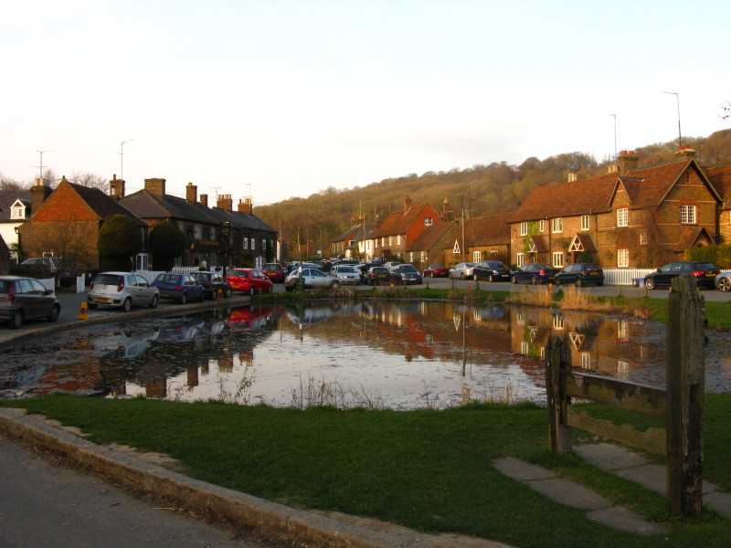
A last look at the pond and the stocks.
Zoom in for more detail, or click to view larger map in new window
A delightful walk almost every step of the way. Total distance
12.7 km and 367 metres of ascent in 2 hours 45 mins.
|