Middle Dodd, Red Screes, High Hartsop Dodd, Little Hart Crag, Hart
Crag, Dove Crag and Hartsop-Above-How
3 September 2009
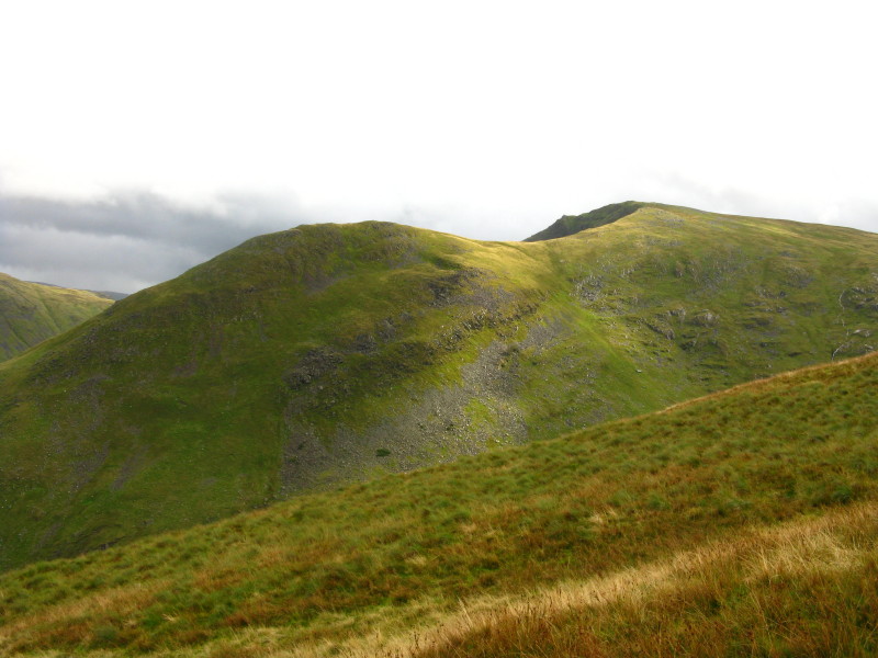
After parking at Cow Bridge north of Brothers Water, we have walked
along the west side of the lake and are approaching Middle Dodd, seen
here, which we will be climbing up the fairly steep end ridge.
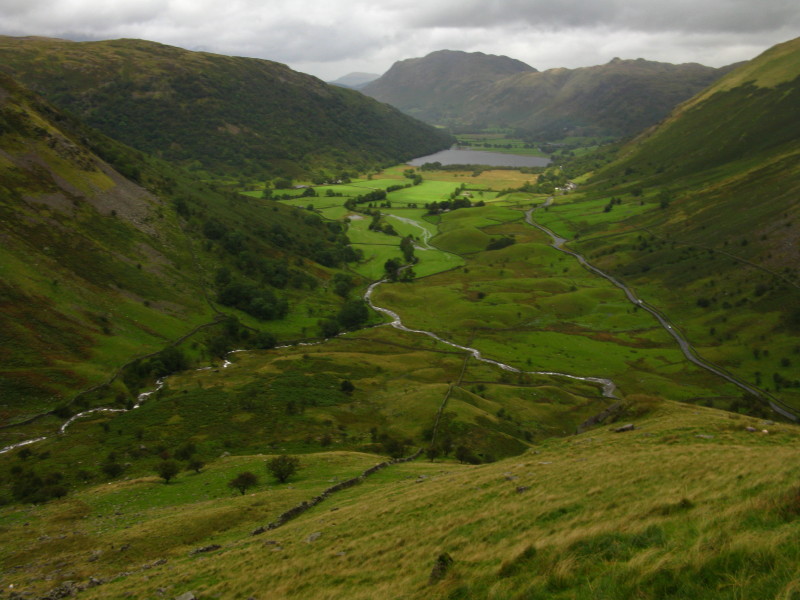
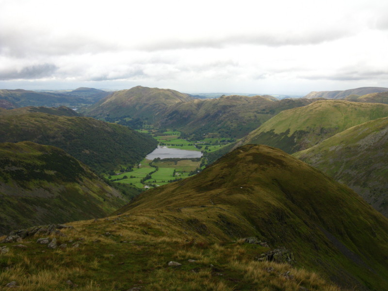
A pause for breath reveals the view back towards Brothers Water with
Place Fell at the end: the partial slopes on the left are of High
Hartsop Dodd which we will visit later, and the wooded slopes of Hartsop
above How which will be our last fell of the day.
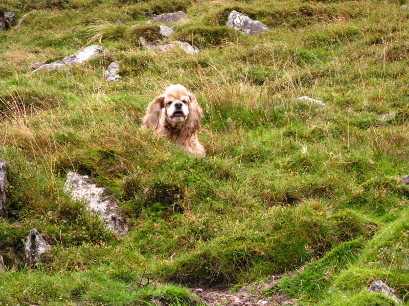
A zoomed-in photo of George
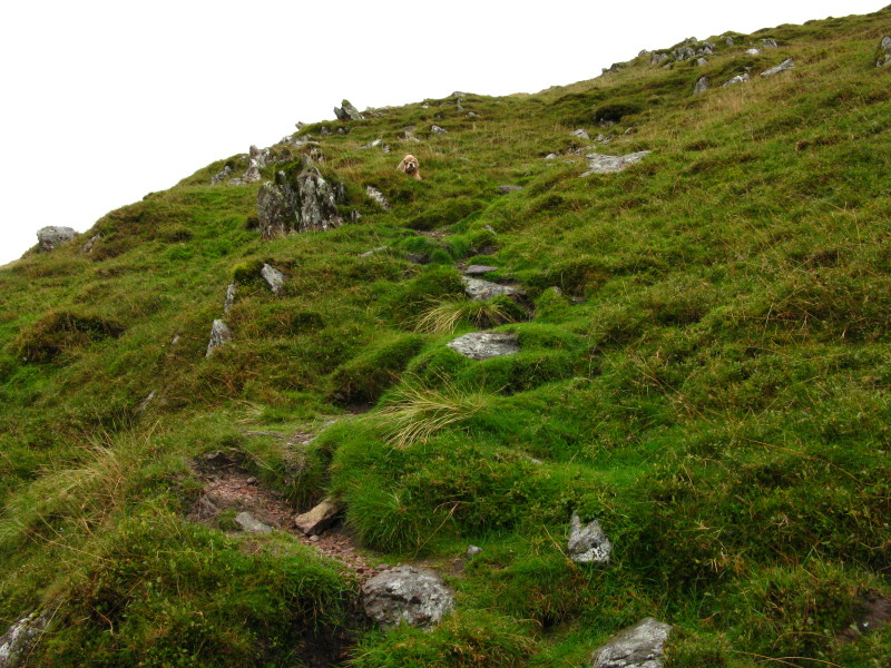
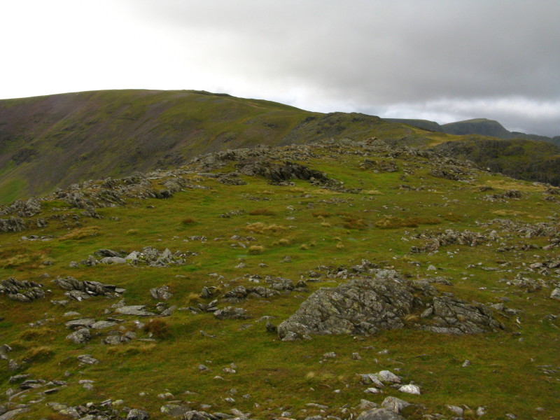
And from the same spot without zoom. Most of the ridge is pathless, but
near the top a path materialises
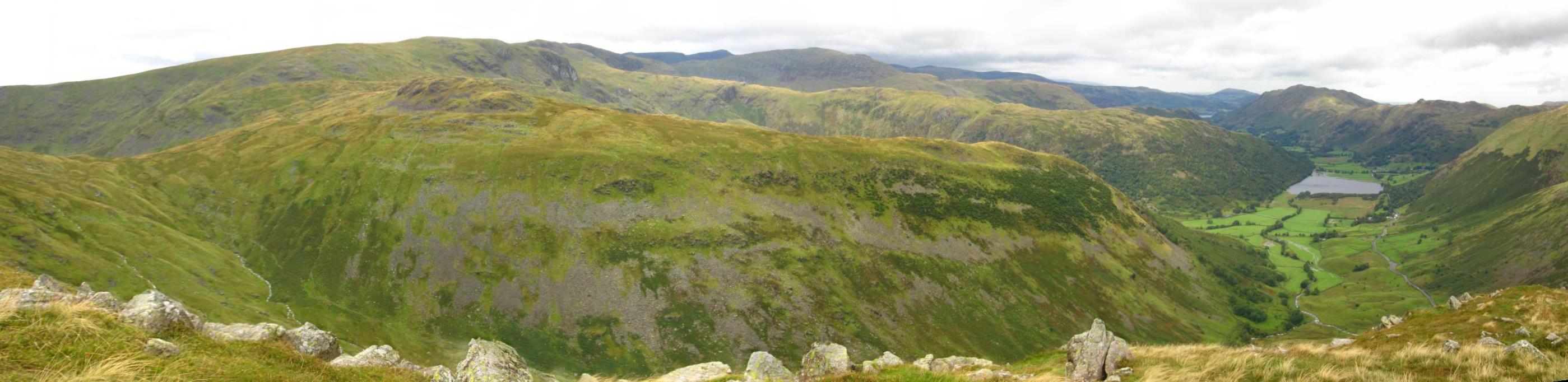
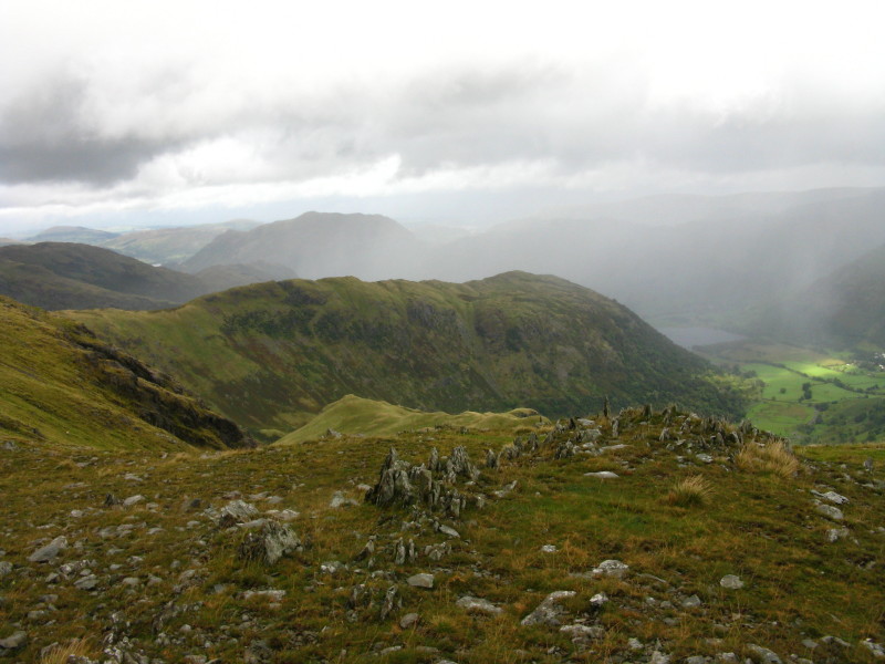
From Middle Dodd, a view across Little Hart Crag and High Hartsop Dodd;
behind is the ridge of Dove Crag and Hartsop above How.
From Middle Dodd looking towards Red Screes
On the slopes of Red Screes looking across Middle Dodd past Brothers
Water
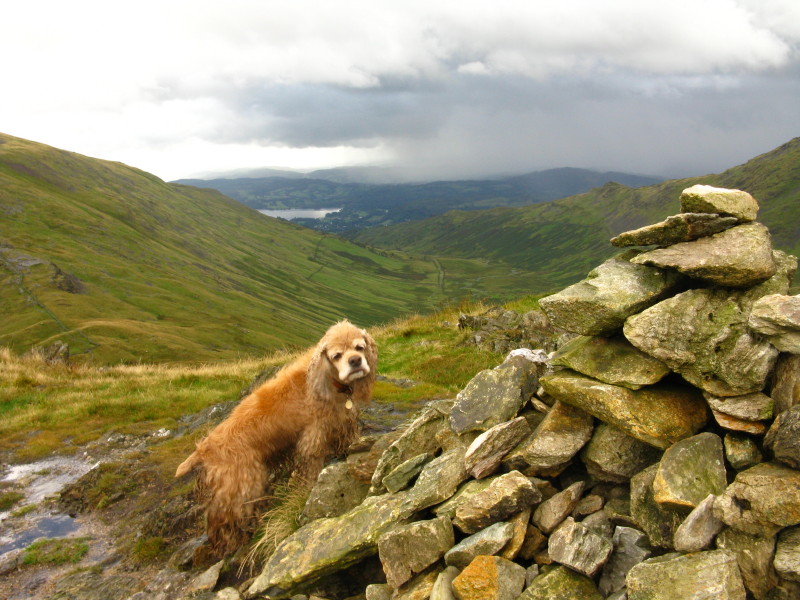
George on Red Screes. The rain has started in earnest with very strong
winds, but fortunately it only lasted about 15 minutes - that was the
pattern for the day.
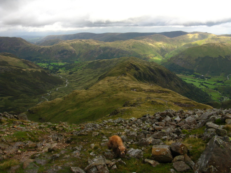
Starting the descent from Red Screes towards Scandale Pass, centre.
(Click picture for a larger version.)
Having crossed Scandale Pass, a look back to Red Screes
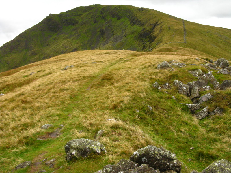
From High Hartsop Dodd, a view of Middle Dodd and Red Screes
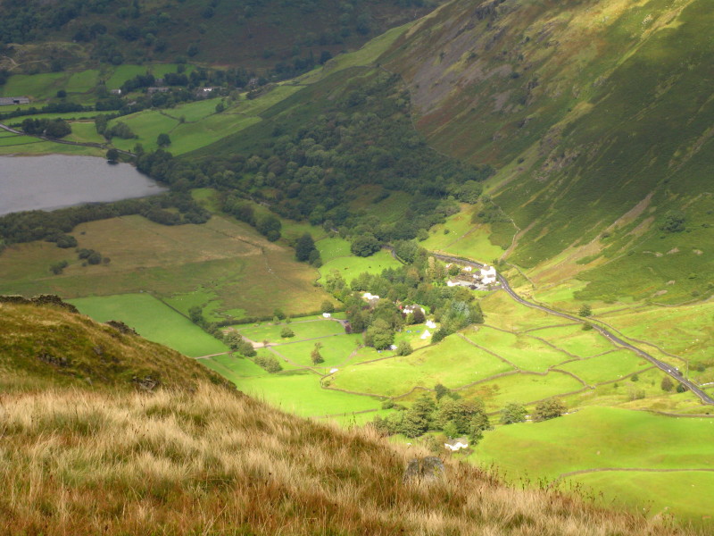
From Middle Dodd, looking down on the farm and youth hostel

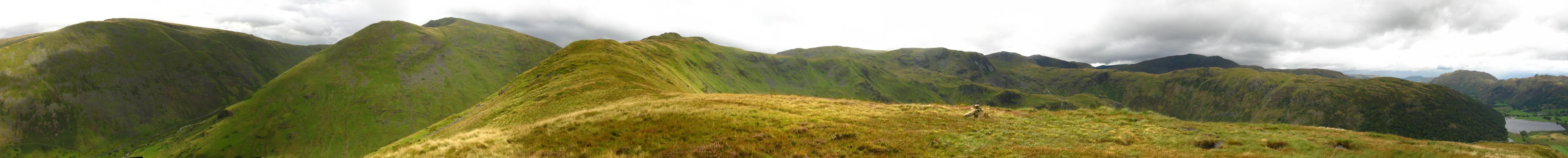
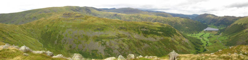
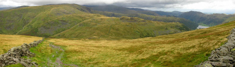
From High Hartsop Dodd, a panoramic view - click for a larger version
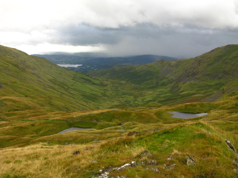
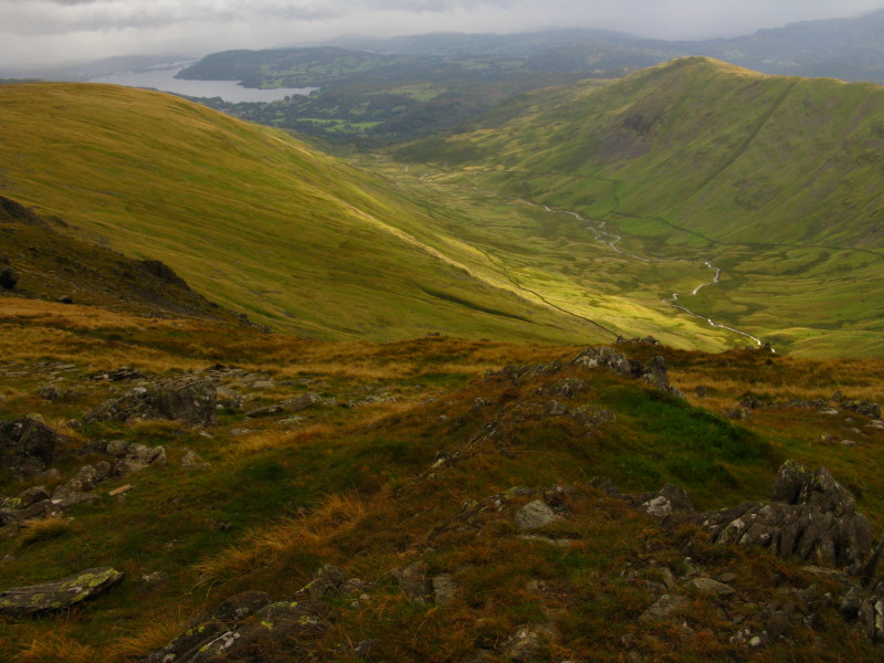
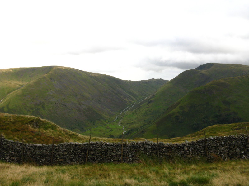
Scandale, with a bit of Windermere at the bottom
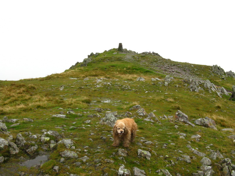
George on Little Hart Crag

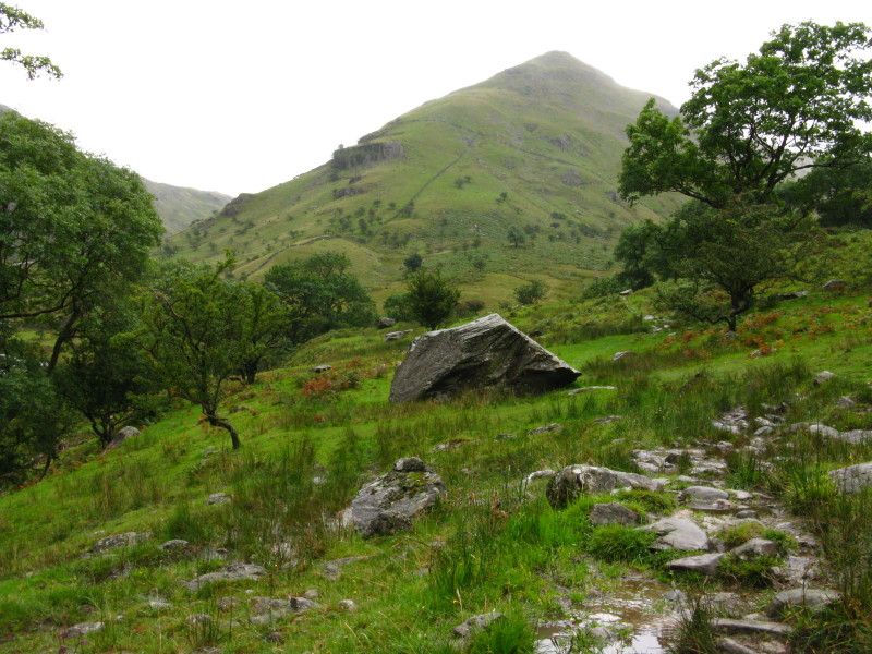
Looking back to Little Hart Crag on the ascent to Dove Crag
As more rain sweeps around us, a view to Hartsop above How
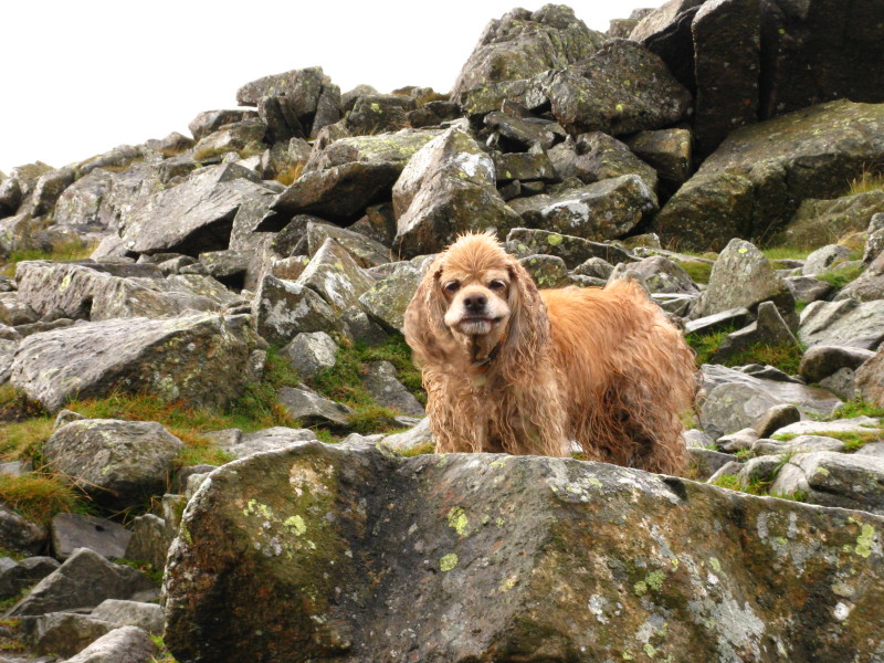
A very tangled and matted George
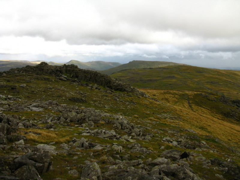
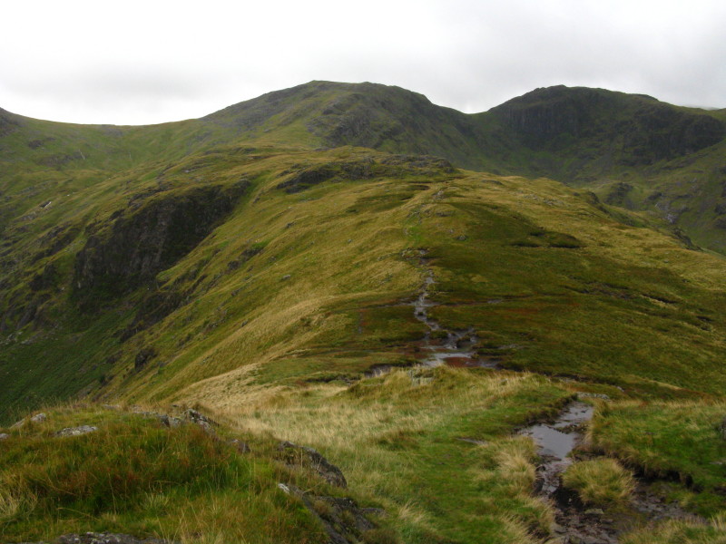
On Hart Crag, a view back over Dove Crag to Red Screes
On Dove Crag, a view down Rydal Beck to Windermere
Fairfield from Hart Crag
On Hart Crag, looking down the long ridge of Hartsop above How, our
route onwards.
Part-way down the ridge, a look back to Hart Crag, with Fairfield on the
right.
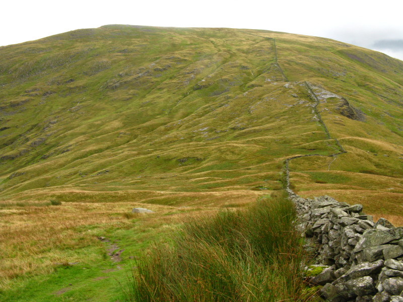
From the ridge of Hartsop above How, a look up towards Kirkstone Pass:
on the right are High Hartsop Dodd with beyond it Middle Dodd and Red
Screes
Zoom in for more detail, or click to view larger map in new window
A long and tiring walk but really grand walk - though of course it would have
been better without the rain and without being blown off my feet by the wind.
Total distance 17.5 km and 1329 metres of ascent in 6 hours 45 mins.
Lake District holiday, August/September 2009
|
|