Woodland Valley from Broughton
23 May 2009
After a morning visit to the shop, the beach, and a
family lunch, in the afternoon Stephen took George on a local walk from
Broughton - an all too rare "see where the mood takes me" walk.
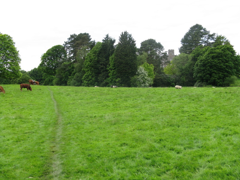
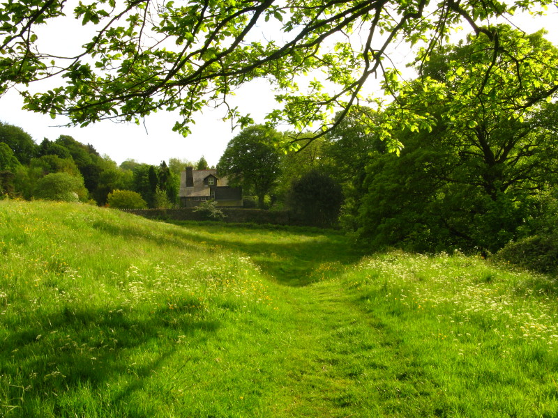
A look back as we pass through Broughton Park
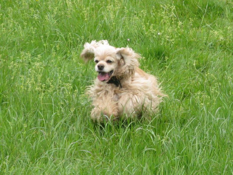
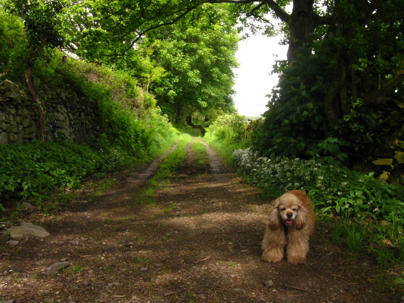
A cheerful George as we head through the Park
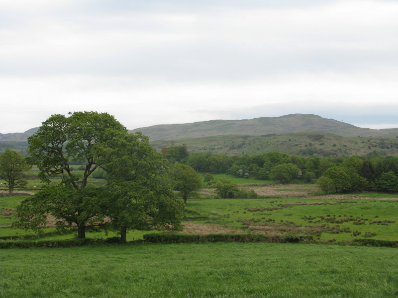
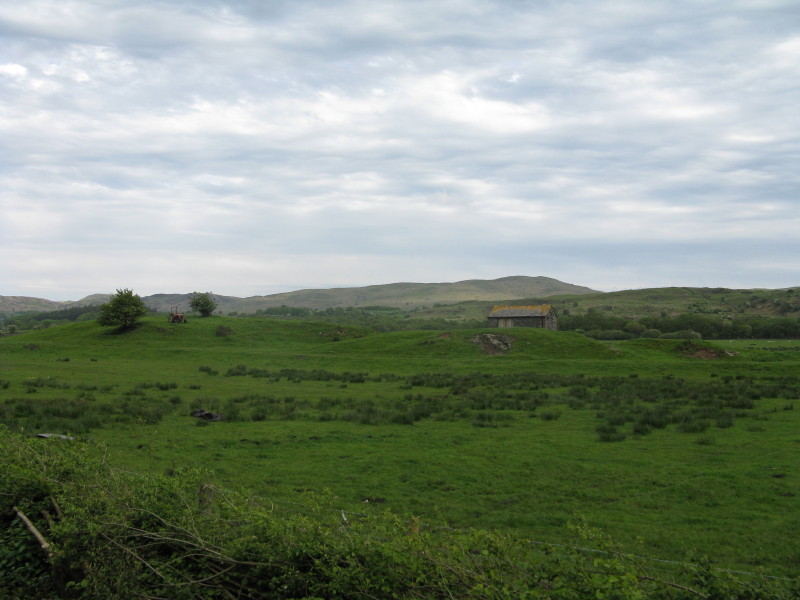
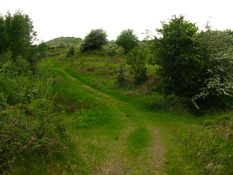
From the old Foxfield to Coniston railway line, a look across the valley
to Latter Rigg with Blawith Knott beyond
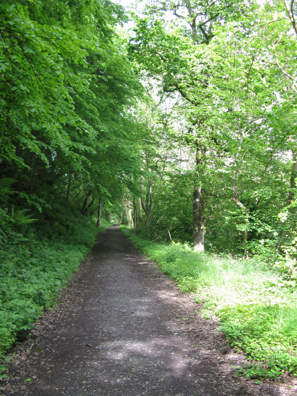
The old railway line
After reaching the end of the walkable part of the railway line, we
descended to the road
Below Brookside farm, following the footpath that parallels the railway
line
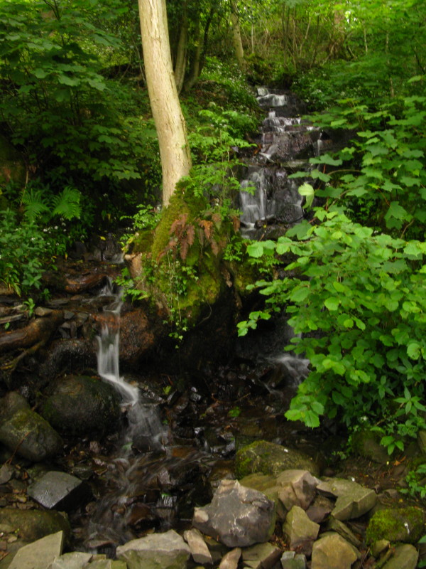
A tree grows up out of the middle of a waterfall
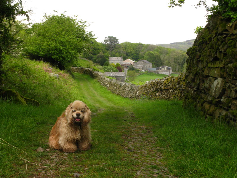
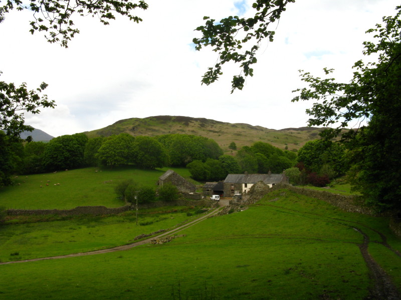
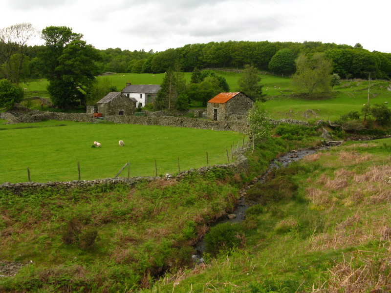
Approaching High Rosthwaite farm
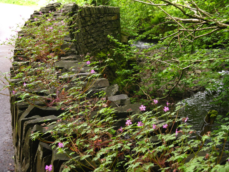
Flowers growing on a bridge parapet
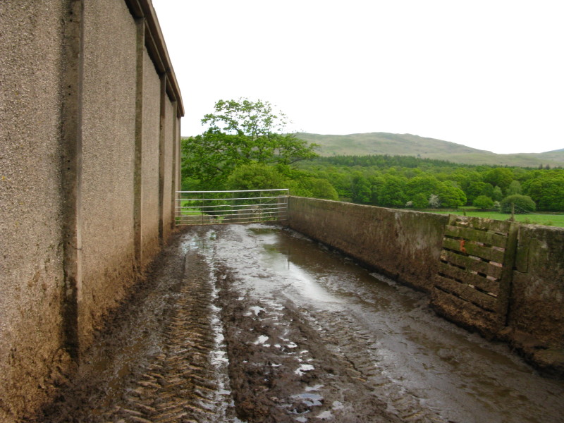
At Bridge End farm, the public footpath lies through this horrible
little section - made worse because the gate catch is on the right, the
deepest part of the pool.
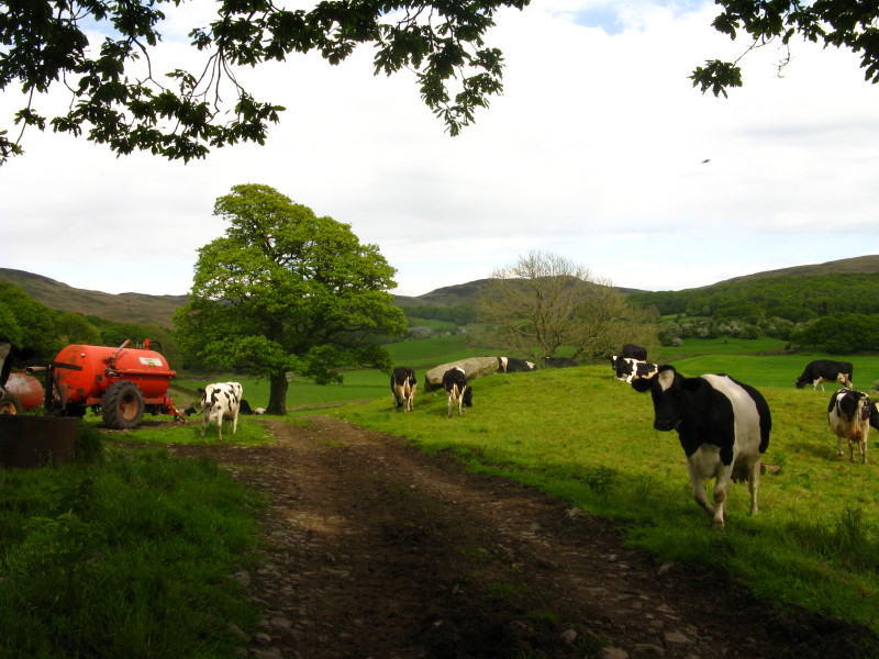
The producers of that mess - who were not terribly pleased to have us in
their field.
We then had a pleasant cross-country walk, including a stream which we
walked through three times to clean ourselves off after the farmyard. We
climb above Hawes farm.
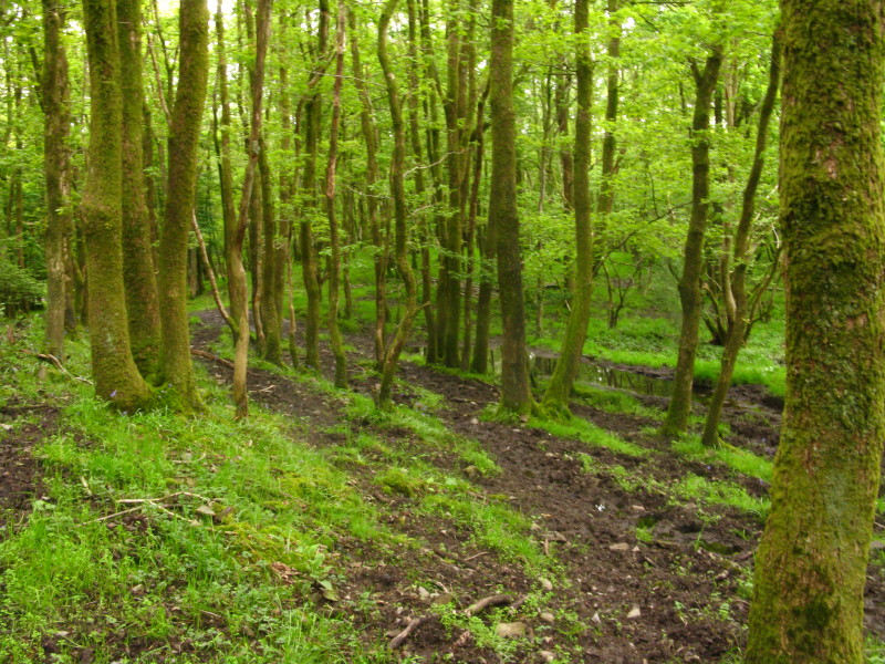
Next is Climb Stile Wood, which was wet and well churned by both
vehicles and cattle.
Climb Stile Wood in the background, with Green Moor farm. After passing
it, we are now on the open Woodland Fell
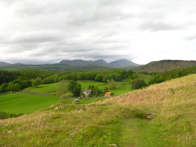
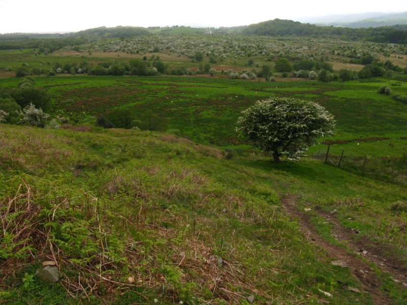
A little higher up on Woodland Fell, the lovely views open up to include
the Coniston Fells
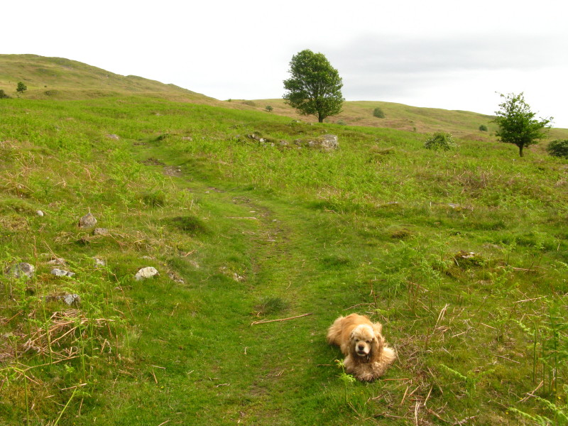
George as we continue along the lovely bridleway along the west edge of
Woodland Fell
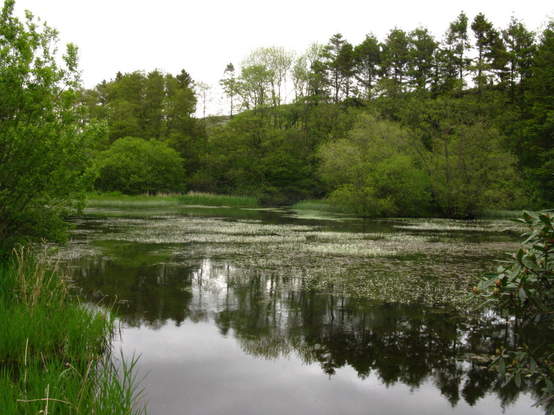
An artificial tarn, unnamed on Ordnance Survey maps, on Green Moor Beck
from the road to Woodland Hall
Crossing Thornthwaite Latter Rigg, with the view across the Moss and
Middlescough
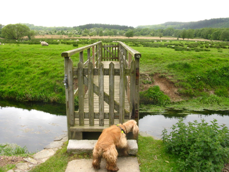
George ready to cross the bridge over Kirkby Pool
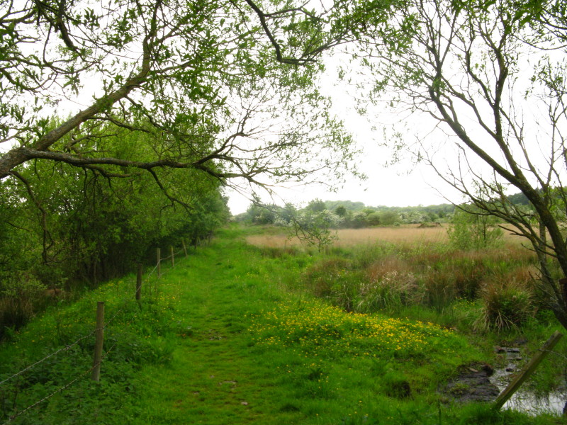
Safely across the Moss we head towards Middlescough
The lovely Middlescough
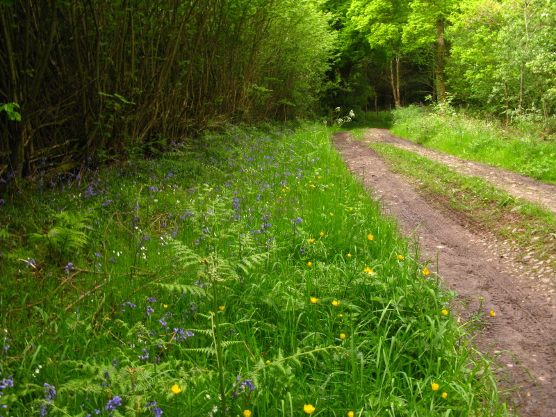
Making our way through woodland towards Wall End farm
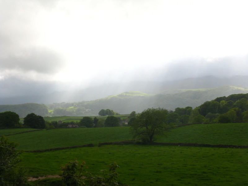
Sunshine and showers towards Black Combe
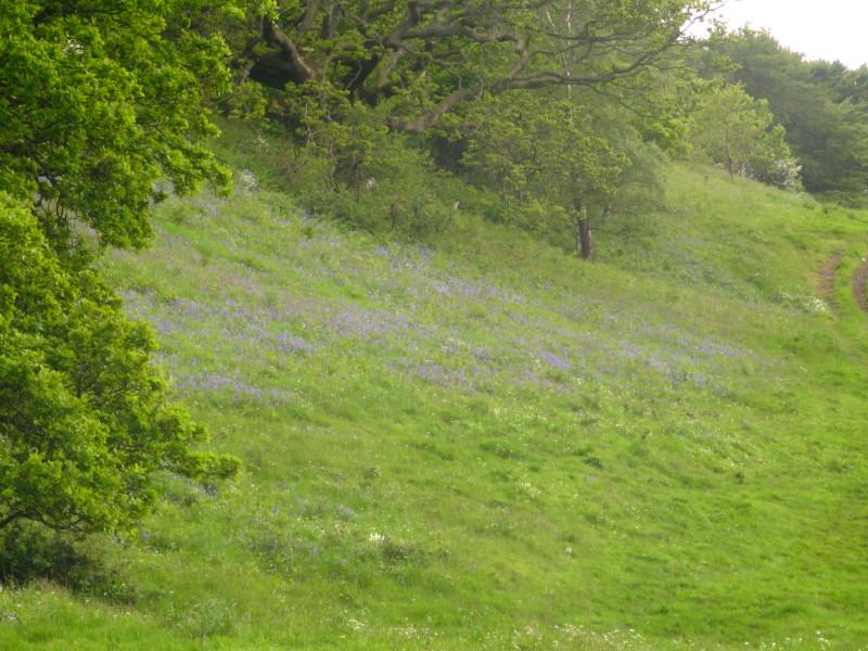
Bluebells on the side of The Knott
Approaching Broughton and the sun has come out as we near the railway
line again.
Zoom in for more detail, or click to view larger map in new window
A lovely outing (apart from the farmyard). Total distance 14.0 km and 442 metres of ascent in
3 hours 10 mins.
Lake District holiday, May 2009
|
|