Lake District: Crag Fell and Grike
11 March 2011
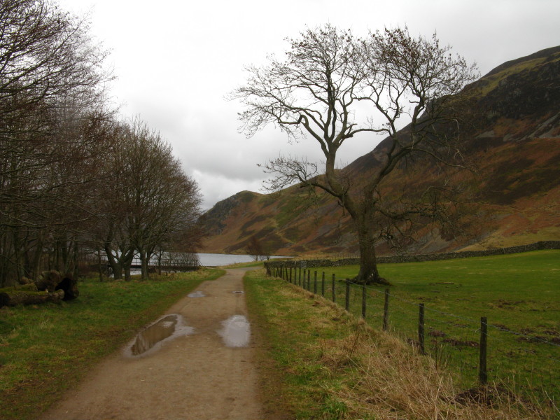
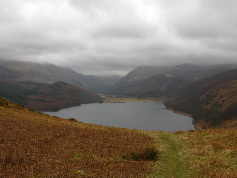
Walking from the car park at the western end of Ennerdale Water towards
the lake. The first objective of the day is Crag Fell (looming on the
right), to be reached by a zigzagging route: the first climb above
Anglers Crag can be seen through the bracken to the left of the solitary
tree.
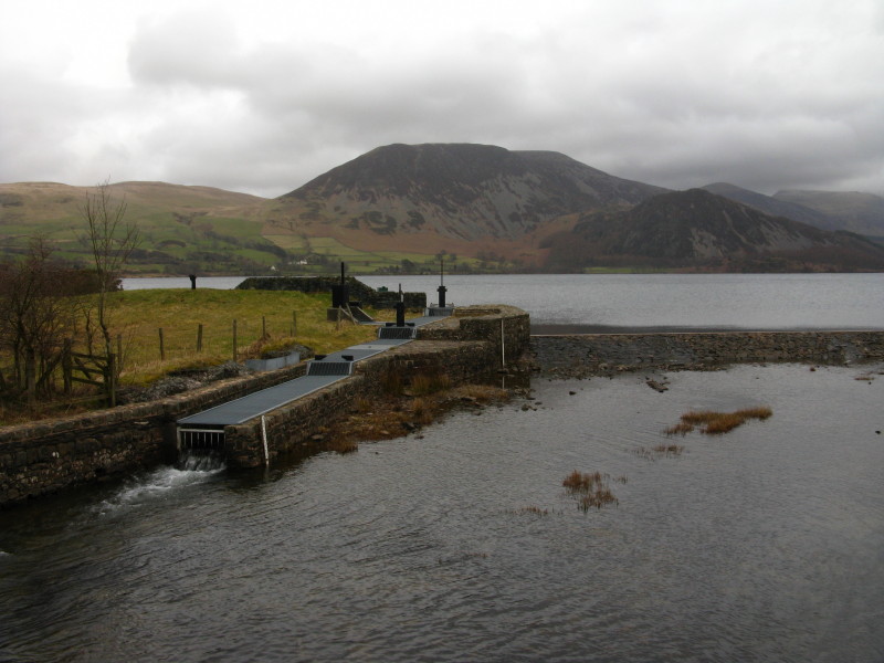
Ennerdale Water is used as a reservoir, the level having been raised a
small amount by this weir, with the caged run allowing a monitored flow
of water into the river. Great Borne looms on the other side of the
lake.
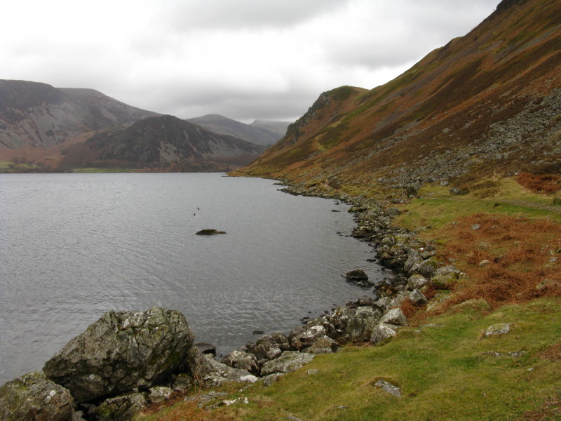
Walking along the southern shore of Ennerdale Water, about to start the
inclining route to just behind the top of Anglers Crag.
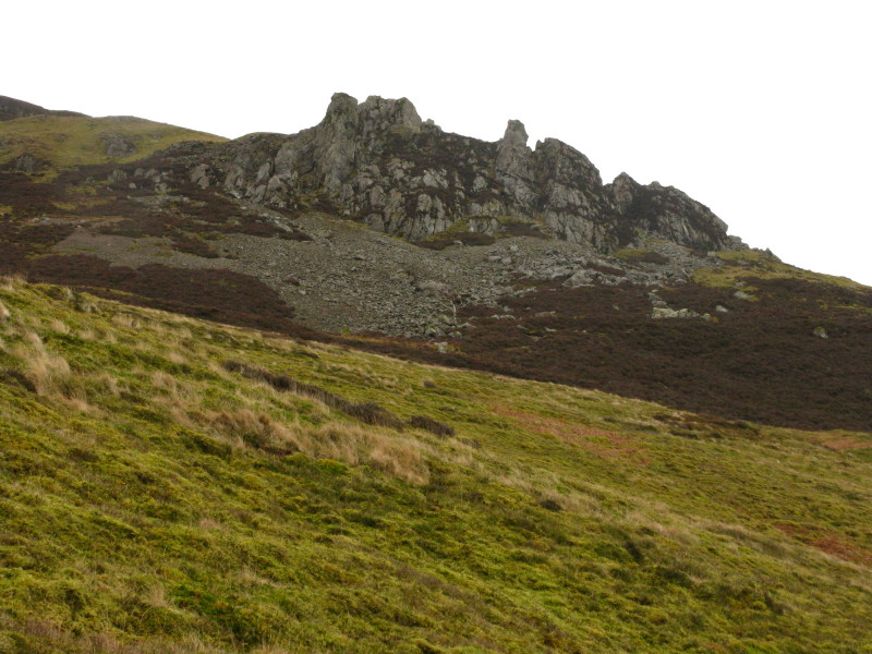
The route will then traverse underneath these pinnacles.
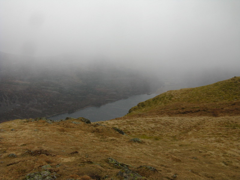
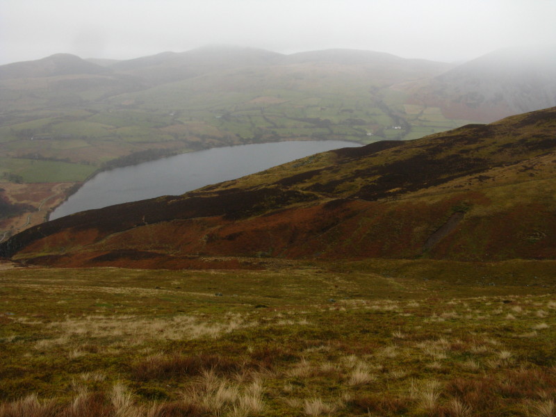
From the small col behind Anglers Crag, a look into upper Ennerdale
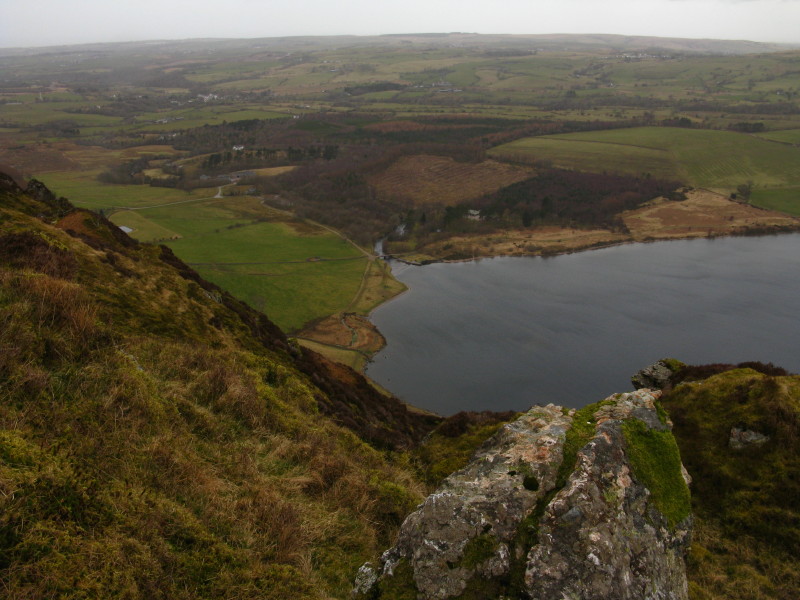
Looking down on the egress from the lake: the car is in the trees.
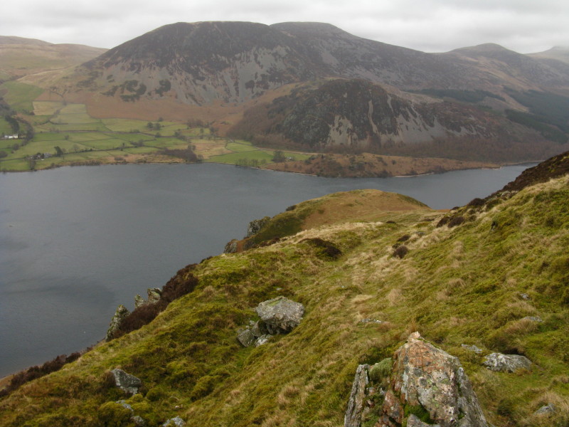
Great Borne and Bowness Knot beyond Anglers Crag
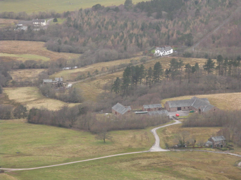
That isn't a farm, but a cunningly disguised water treatment works.
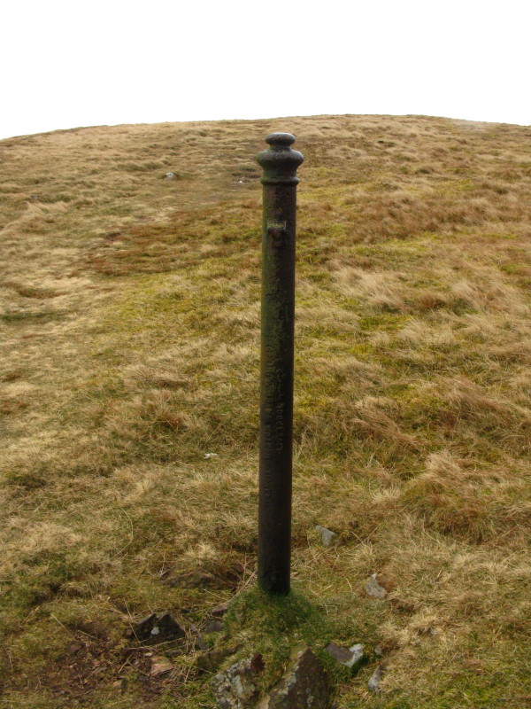
Having made it past the crags and onto the more gentle shoulder of the
hill, I pass a prominent iron post.
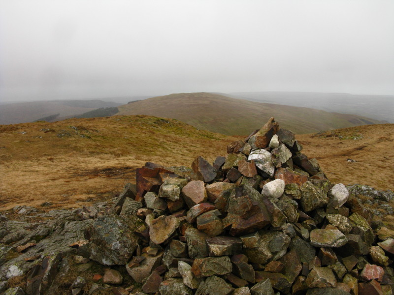
The summit of Crag Fell, looking towards the next objective, Grike, in
the centre of the picture.
Looking down towards Ennerdale Water, and it is very windy up here, with
snow now blowing past, though when I turn towards Grike it is hitting my
face quite painfully - time to dig the balaclava out of the rucksack.
Fortunately the snow didn't last too long. Wainwright suggested that use
of the old mine road wasn't practical because of fences, but I found it
wasn't difficult, and it made the going a little easier between the two
fells.
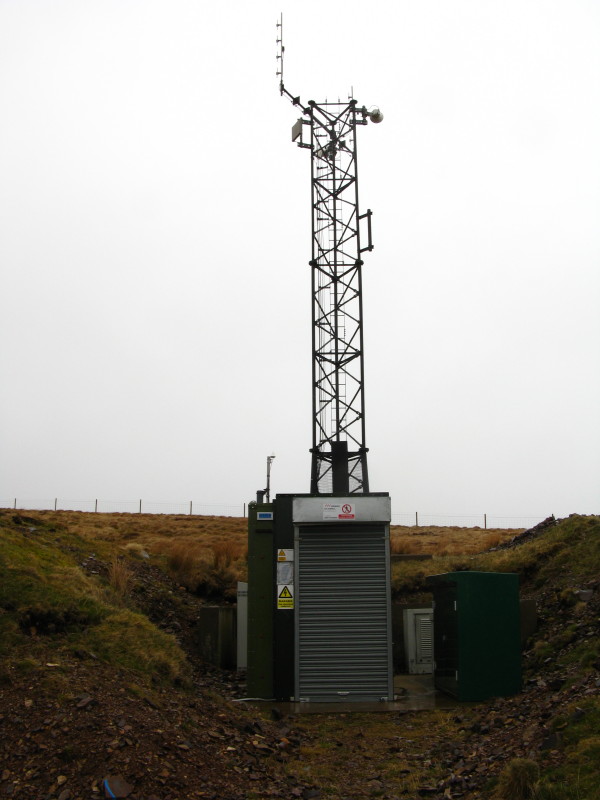
A monitoring station of some sort?
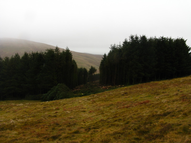
An intense smell of freshly sawn pine hit me at this point
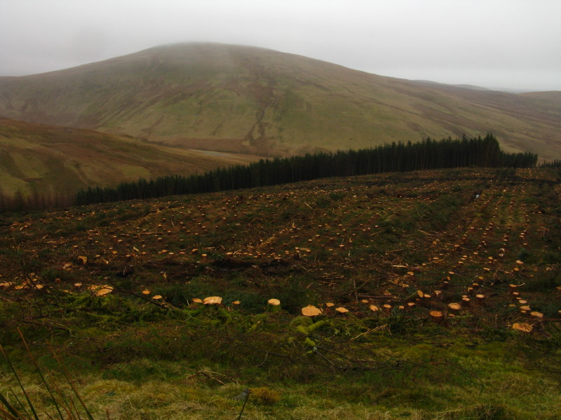
A slightly older felling site, with Lank Rigg behind.
The very welcome windshelter on Grike, looking back to Crag Fell. I had
my lunch here before heading off back towards the car.
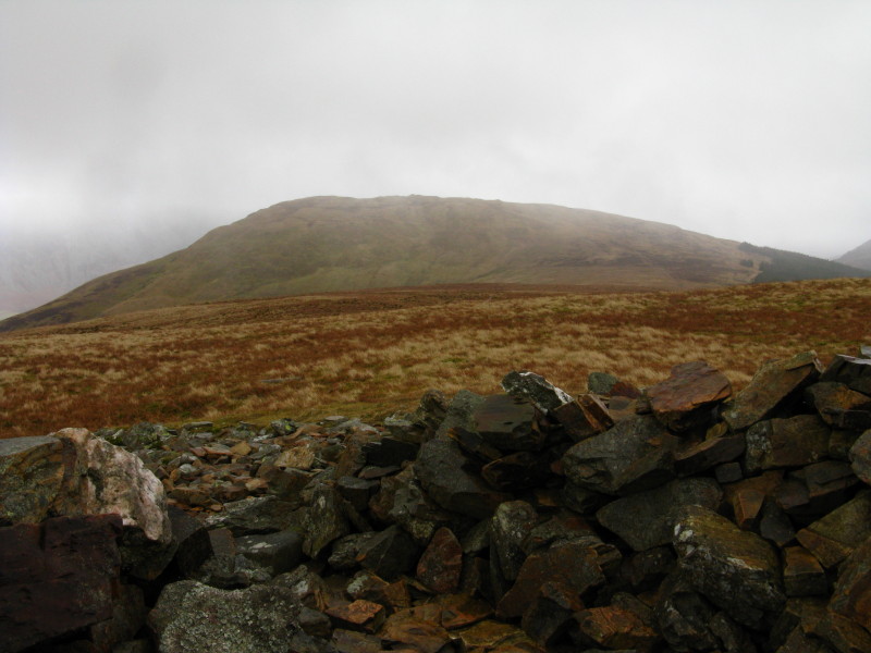
A pathless route took me towards the twin gullies of Ben Gill, past
which I joined the path coming down from Crag Fell.
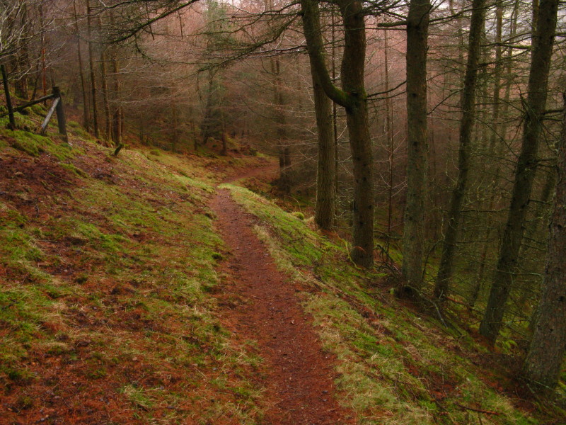
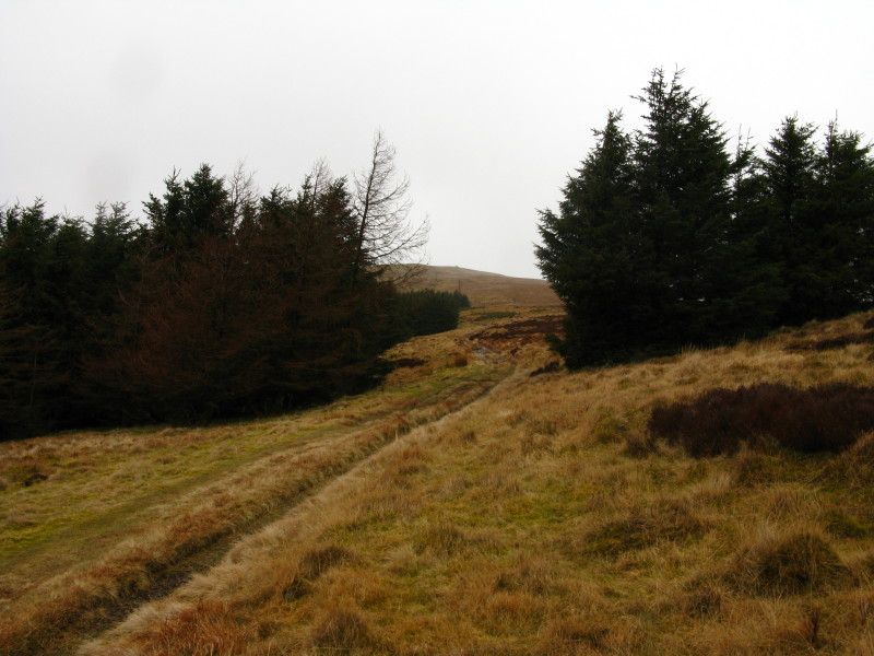
The path continued through the plantation and to the car.
Not the most thrilling of walks, in not the most thrilling of weather. No doubt
the views would be better without the restrictive cloud base, and could be
admired more without the cold and snowy wind.
Total distance 7.7 km and 525 metres of ascent in 3 hours 3 mins
Lake District holiday, March 2011
|
|