Lake District: Caw Fell and Haycock
27 September 2012
For the first of three days walking in the Lake District,
Stephen and George travelled to the less frequented west, parking at the Bowness
Knot car park on the northern shore of Ennerdale Water.
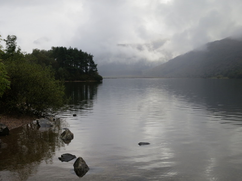
The view east from the valley track along the north shore of Ennerdale Water -
our first objective is Caw Fell, hiding somewhere in the clouds, but the
forecast is for improving weather.
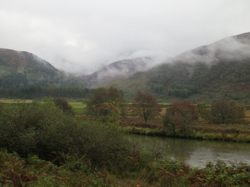
Past the end of the lake, and the route briefly continues alongside the River
Liza. Still in the clouds is the ascending route up the shoulder of Caw Fell
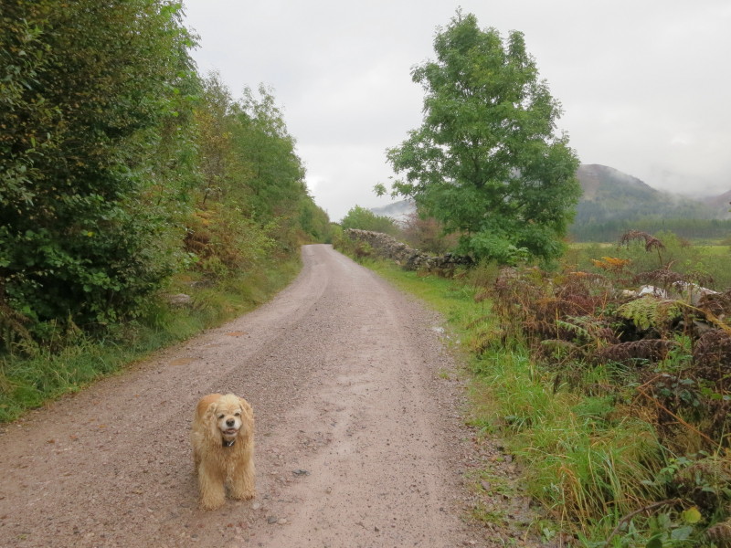
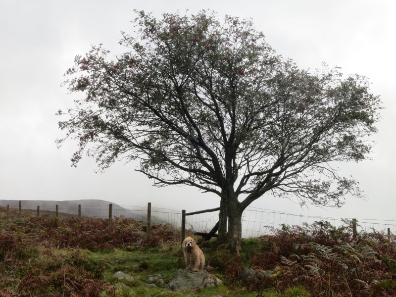
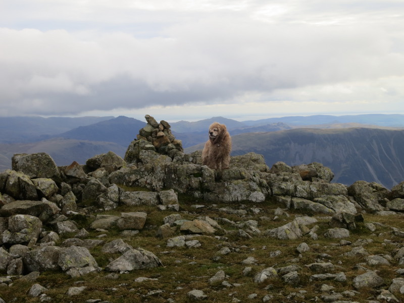
George with his coat still looking in decent condition early in the walk
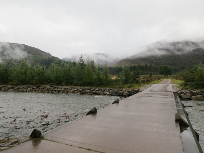
Crossing the Irish bridge over the River Liza. The route ahead is up the middle
of the three hills
Gaining height, and although there is still a lot of mist and cloud about, it is
lifting as we climb
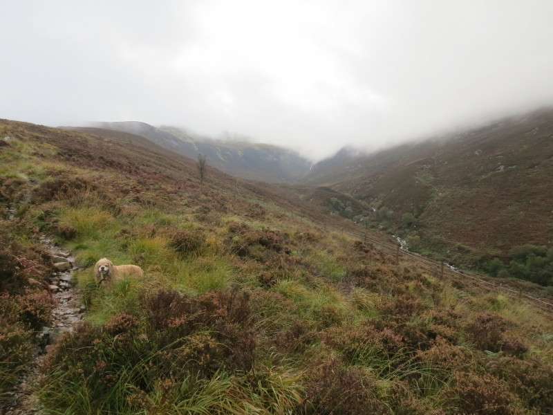
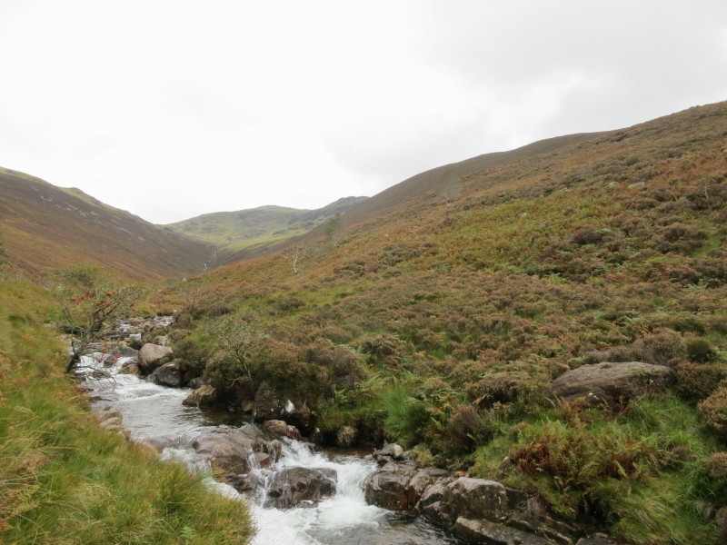
Heading towards Caw Fell, with Silvercove Beck on the right
When we reached the plateau between Caw Fell and Haycock, the cloud lifted off
the tops completely, but by the time we'd reached the summit area, it was back
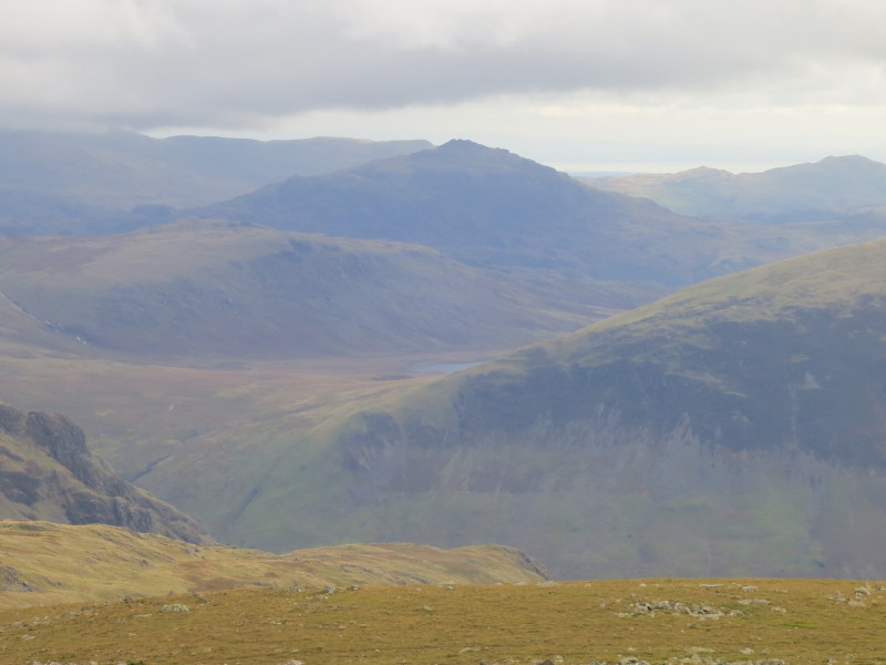
Ascending Haycock, the cloud has lifted again, leaving a good view back over
Little Gowder Crag to Caw Fell centre-left; much of Ennerdale Water is visible
on the right.
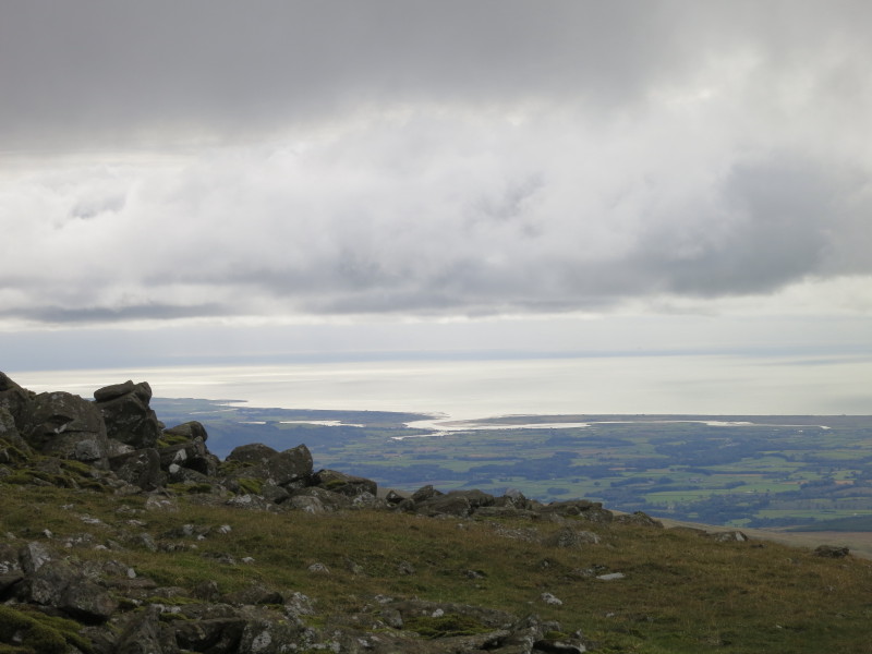
The estuary of the rivers Irt, Mite and Esk at Ravenglass
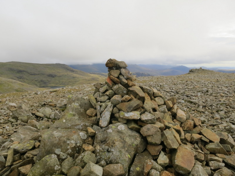
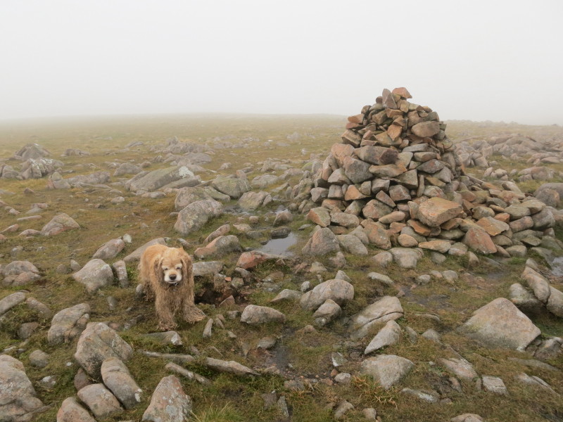
The twin summit cairns on Haycock. The pointed summit of Harter Fell can be seen
just to the left of the right cairn, with Scoat Tarn visible on the left of
picture.
This close-up of one of the cairns shows a better view of Harter Fell, left,
with Seatallan looming on the right
Scoat Tarn again, with the Scafells disappearing into the clouds
Harter Fell beyond Burnmoor Tarn
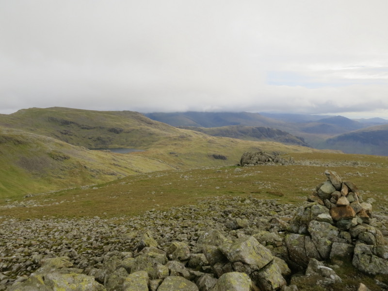
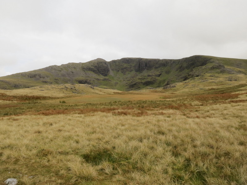
Descending to the col between Haycock and Scoat Fell, with the rocky Steeple on
its left side
On the descent, looking back to Mirkiln Cove below Steeple and Scoat Fell
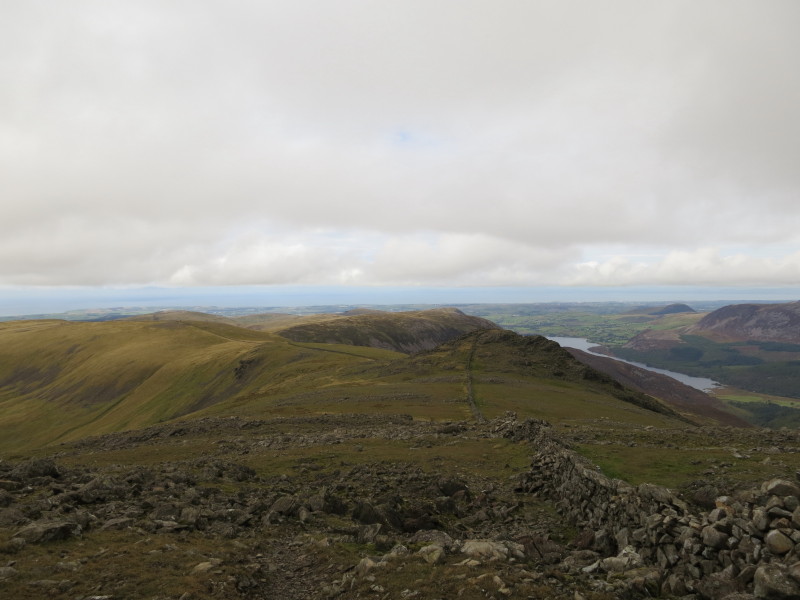
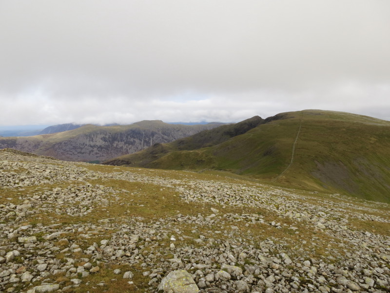
On Tewit How, with Great Borne on the far side of unseen Ennerdale
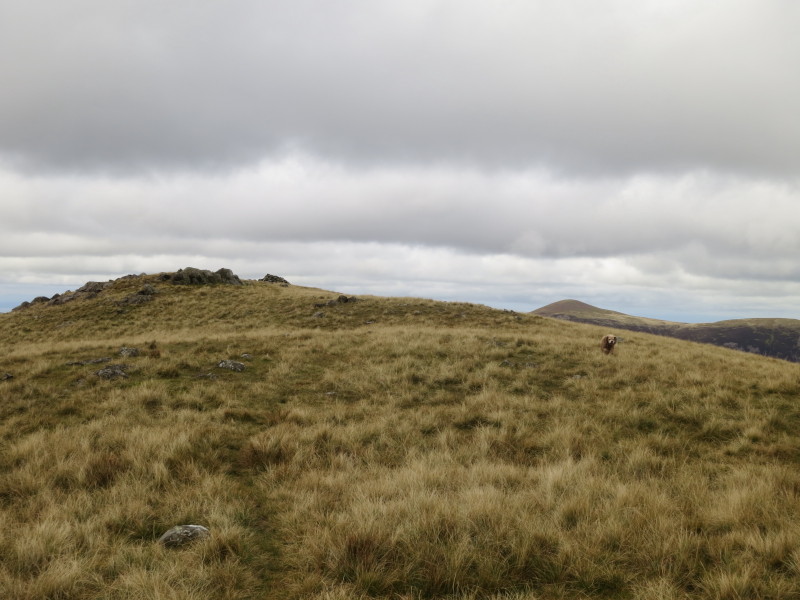
Descending west off the shoulder of Tewit How into the valley of Deep Gill,
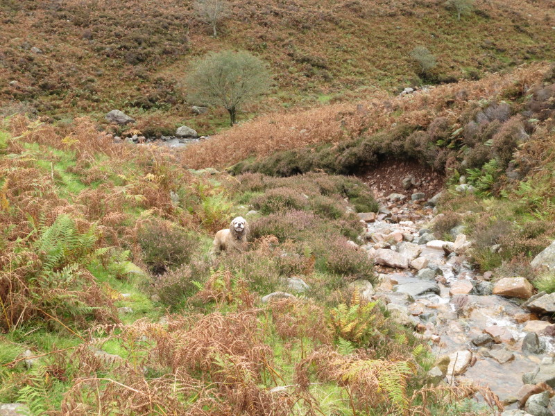
George looks pleased with progress
Looking back up Deep Gill to Haycock
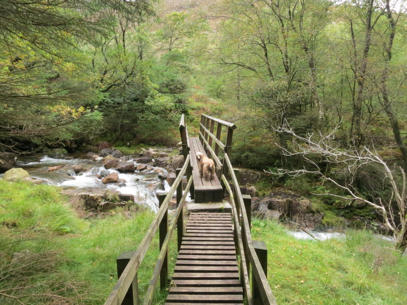
Crossing Deep Gill on one of the pair of bridges which span the two becks very
close together here
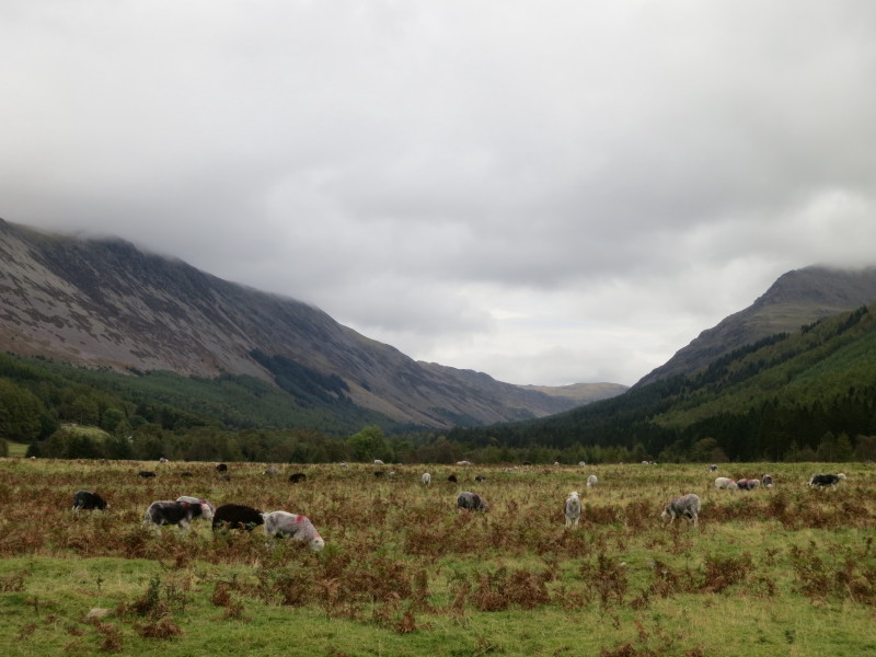
Ennerdale as we begin the valley walk back to the car.
A fairly easy walk with the potential for some really outstanding views with a
higher cloud base, but a little dreary in places after rain and mist.
Total distance 15.7 km and about 720 metres of ascent in 6 hours 6 mins
Lake District holiday, September 2012
|
|