Kentmere Pike and Shipman Knotts
10 November 2012
Rain was forecast for the afternoon but there was the
hope that the morning might be largely decent, so I set off early for
Kentmere village in the hope of finding one of the few parking spots - I
was second on the scene and parked without difficulty. The weather in
Bowness en route had been beautifully sunny, but in Kentmere it was
cloudy and foggy. My objectives were Kentmere Pike and Shipman Knotts on
the eastern side of the valley, my last two fells not yet visited in
Wainwright's Far Eastern Fells.
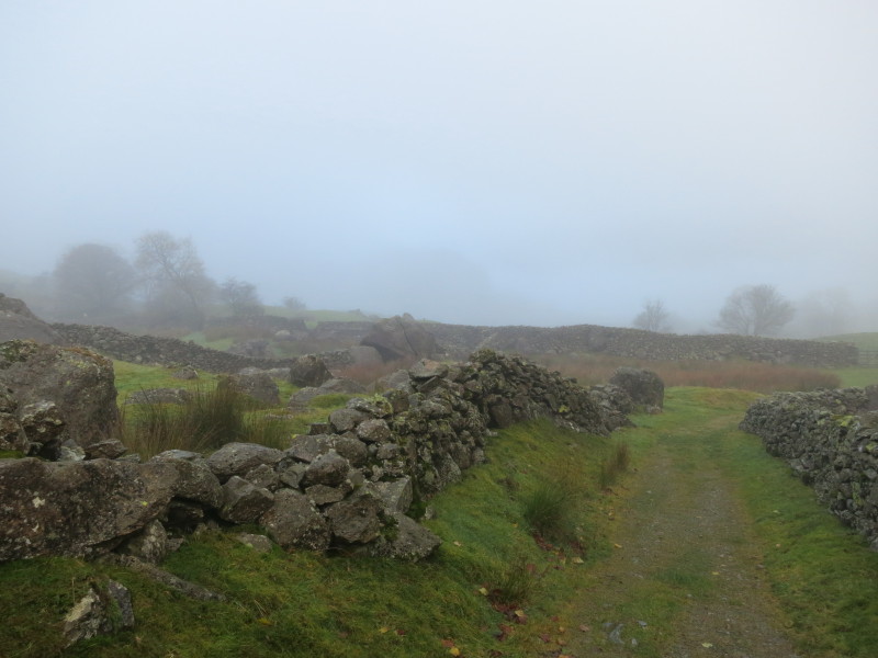
As I make my way along the paths and tracks from Kentmere village, the
cloud is definitely down, but I have hopes of climbing above it
A stile in this wall takes me onto Low Lane with the next stile visible
through the gap on the other side of the lane.
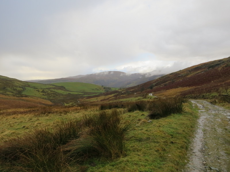
Gaining a little height, and this is the view up the valley
The views up the valley are much more open than when I started from the
village, but the tops are still in cloud
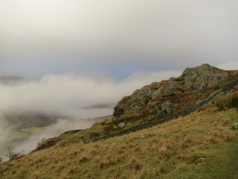
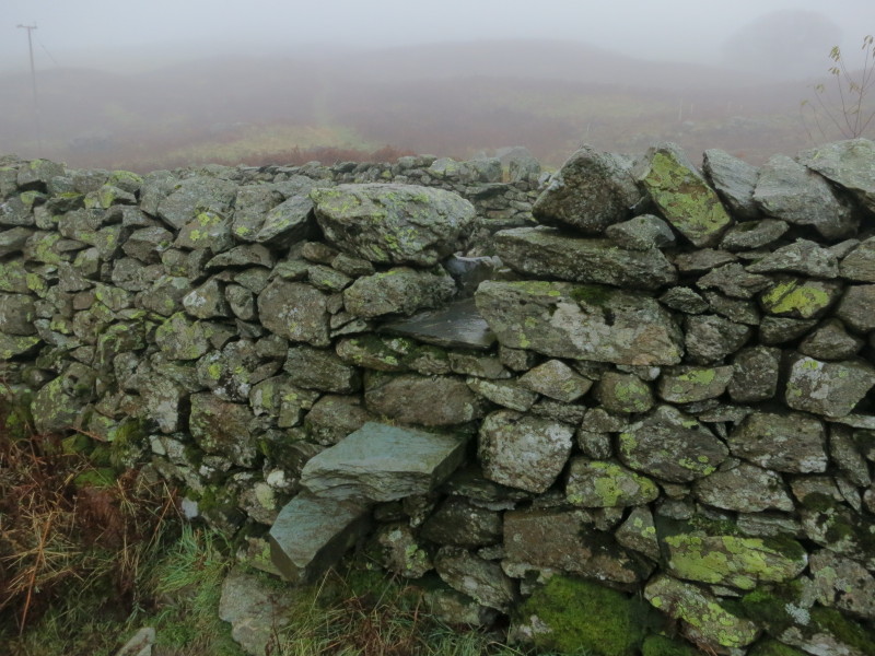
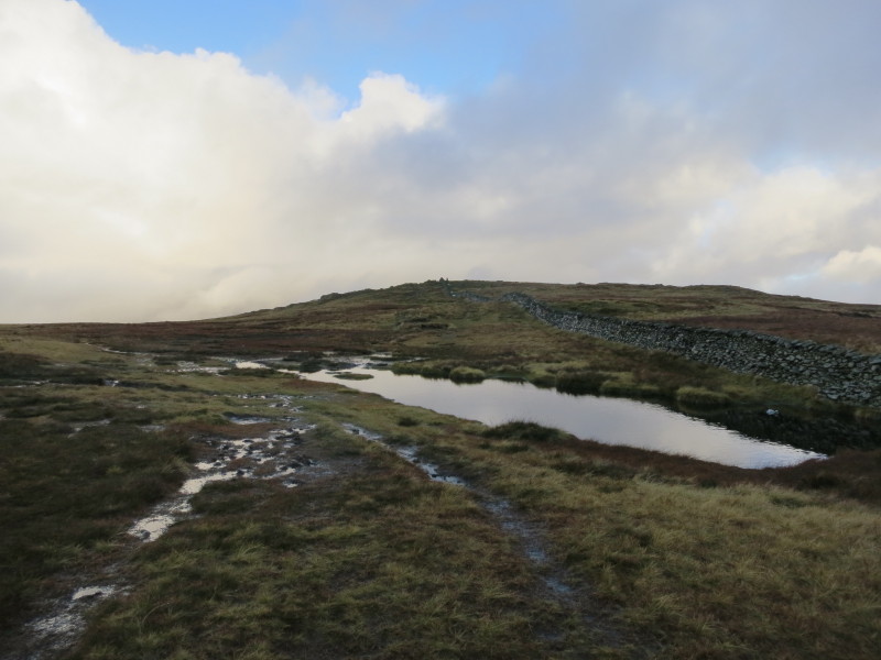
Gaining more height as I approach the stone wall. Wainwright said that
there are three gaps in the wall and the second is the right one, with a
wooden post, but there was no post by the second gap and there was no
sign of a path on the other side - perhaps another gap has formed.
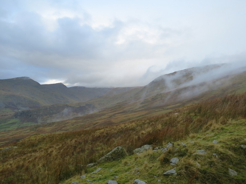
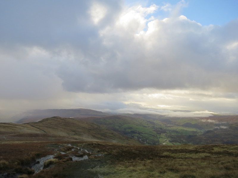
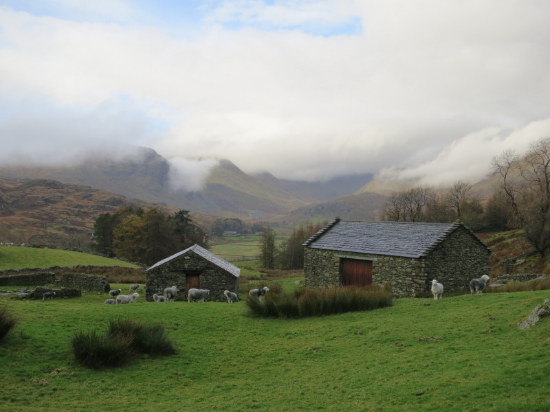
The cloud continues to break and lift, revealing Yoke, Ill Bell and
Froswick on the other side of the valley
Ahead is Kentmere Pike
Looking down the valley
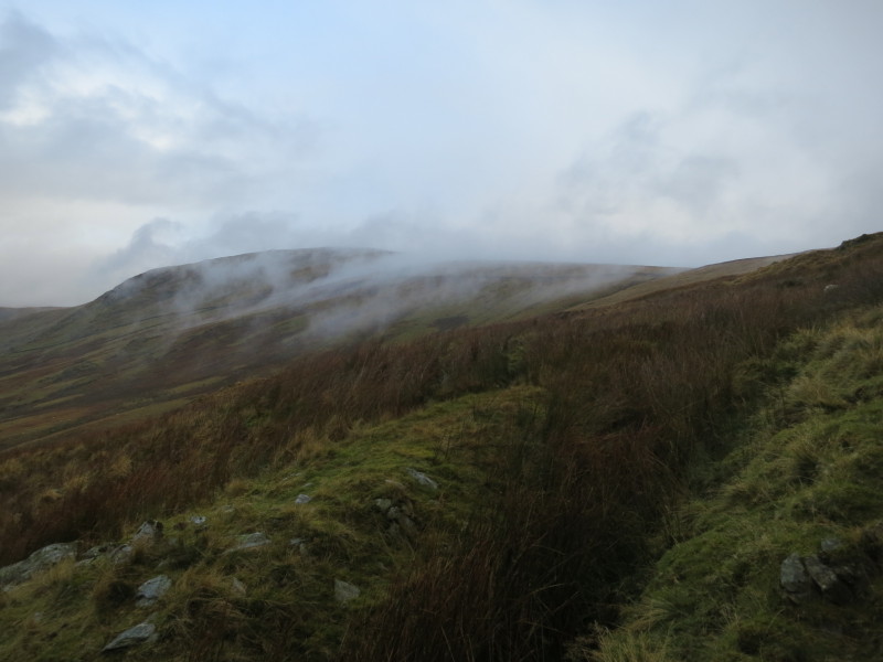
As I approach the top of Kentmere Pike, a look back to the ridge
including Shipman Knotts
The summit of Kentmere Pike ahead
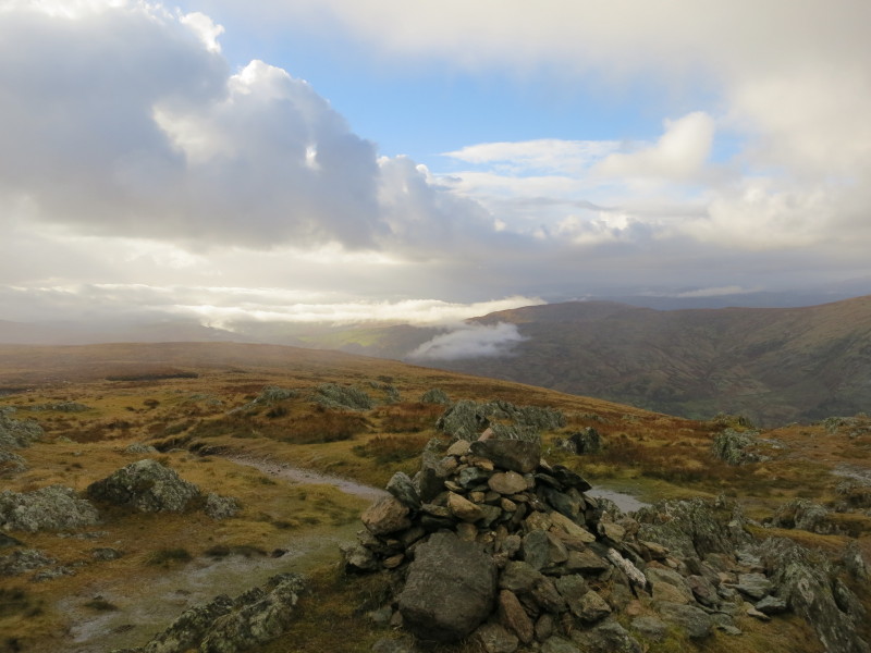
View from Kentmere Pike
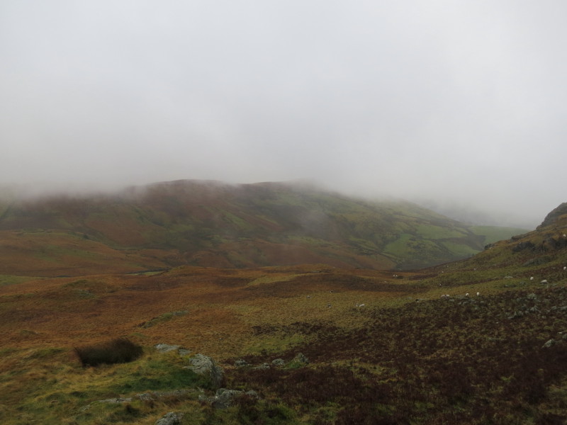
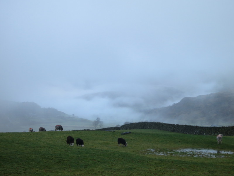
After that the cloud descended again and the rain started, so no views
from Goat Scar or Shipman Knotts. Here I descend out of the cloud
heading for the Kentmere to Sadgill track, with Green Quarter Fell ahead
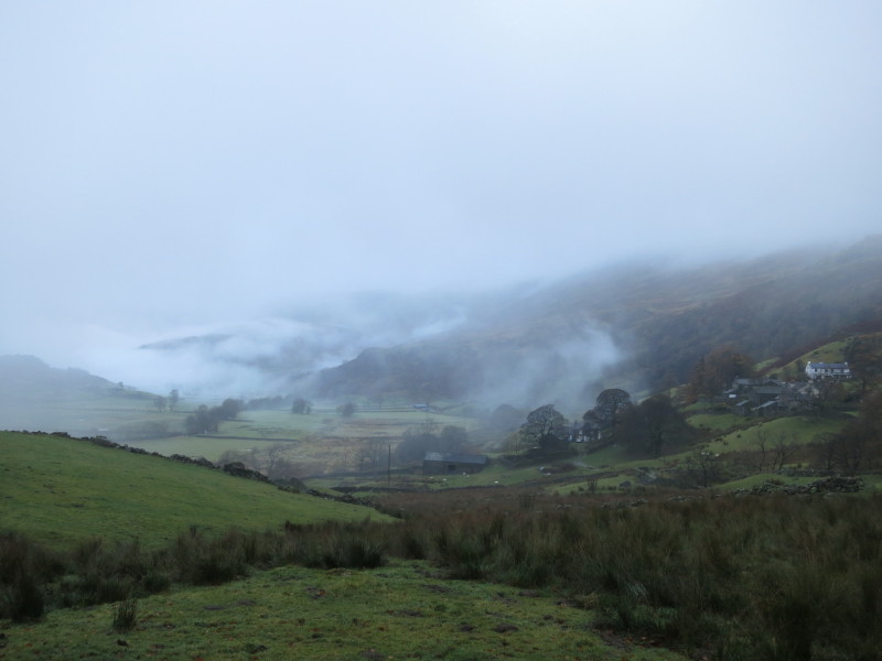
Safely on the Kentmere to Sadgill track, which takes me back down into
Kentmere valley
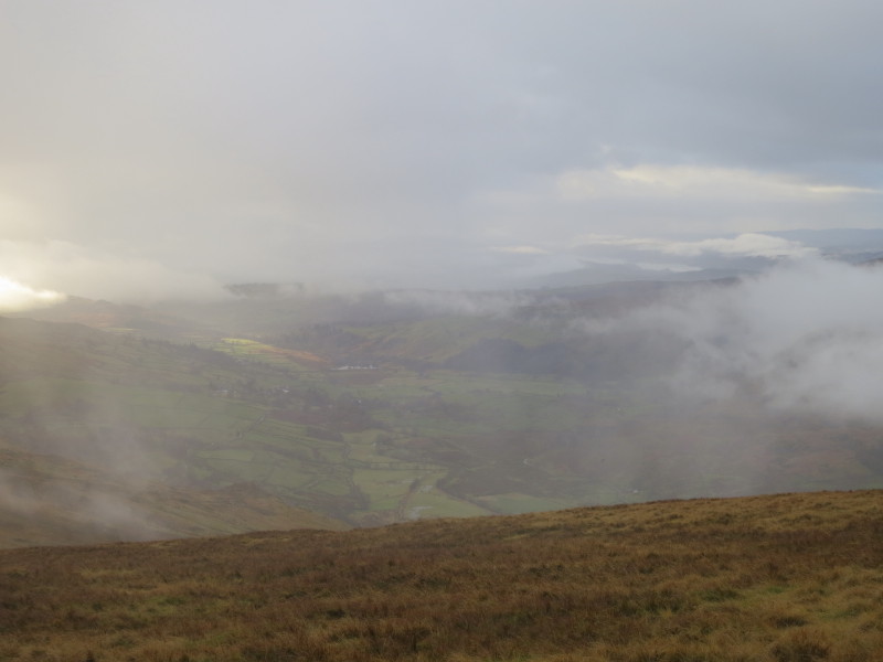
Bits of blue sky looking back up the valley, but plenty of low cloud
too. Time to head to Keswick to pick up a signed copy of the new
Wainwright Companion.
A shame
the weather wasn't better, but it could have been a lot worse and there was fair
visibility for much of the walk.
Total distance 11.2 km and 617 metres of ascent in 4 hours
Lake District weekend, November 2012
|
|