Lark Valley Path
1 and 8 October 2011
While Lucy and her sister popped into Bury St
Edmunds, on an unseasonably warm October day with temperatures in the
upper twenties, Stephen took advantage of the opportunity for a short
walk along the Lark Valley Path which runs for 24 km from Bury to
Mildenhall, though the footpath continues for another 21 km alongside
the river to its confluence with the Great Ouse between Ely and
Littleport.
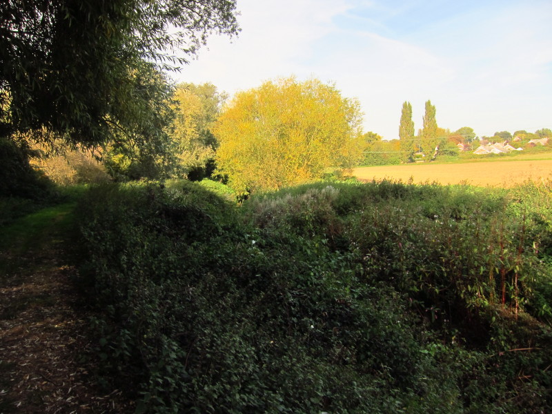
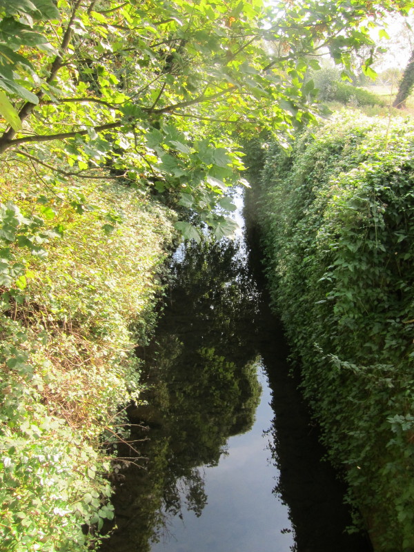
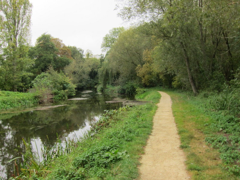
After an urban walk from the railway station through northern Bury St
Edmunds, I reached the river for the first time. Not much sign of it
immediately, hiding under that greenery. It's hard to imagine this as
navigable only a hundred years ago.
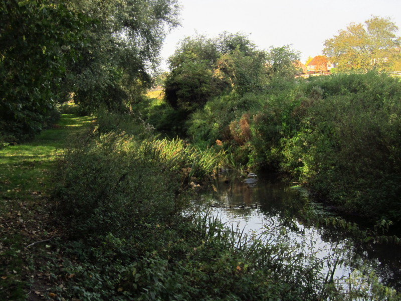
A bit more water now visible
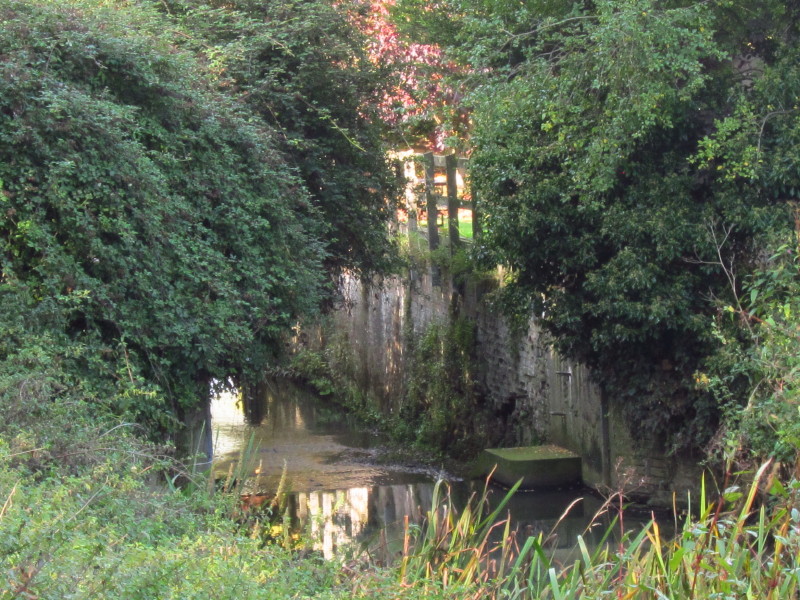
The site of one of the locks as I walk downstream from Bury
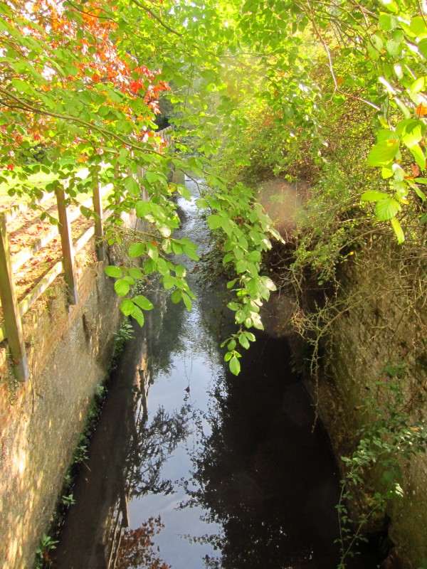
The same lock from the bridge over it
The next visible lock site from the bridge at Fornham.
On the other side of the bridge I found that my October clothing of
shorts was not really a good idea as there were thick nettles, and so I
returned to the road and walked back through Fornham on the other bank,
being picked up later by Lucy and Rosey.
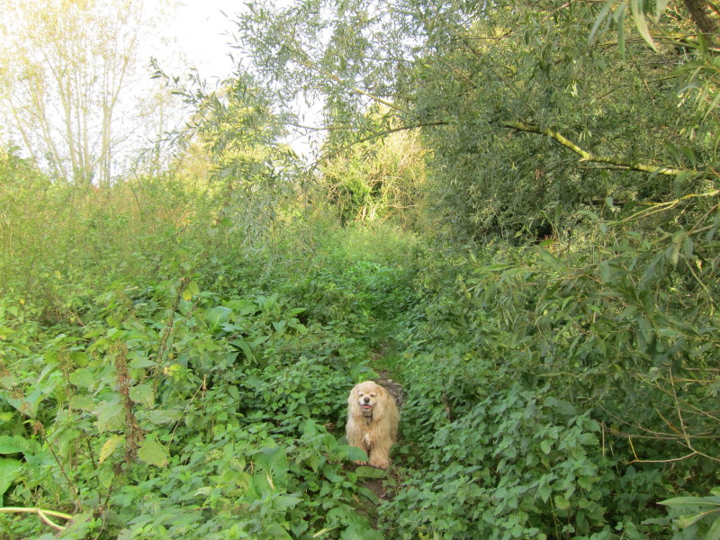
Next weekend, I returned to the same point with George, this time
wearing trousers, though I did get stung a few times through the
trousers.
Eventually clear of the nettles, we continue our progress along the old
towpath.
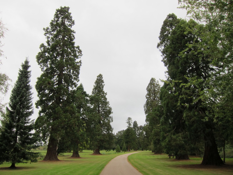
The route then diverts away from the river for a little while, and after
a bit of road walking we find ourselves on the driveway to Culford
School, also a public footpath. Quite an entrance to a school.
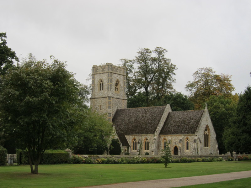
It's also the site of the village church.
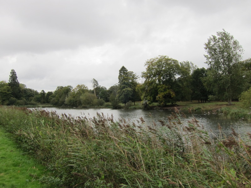
We then reach the bank of this extended artificial lake
George's new pad? No, it's part of Culford School.
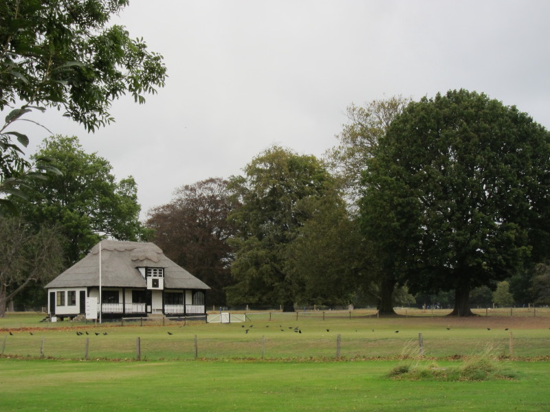
The cricket pavilion
A bridge over the narrow lake
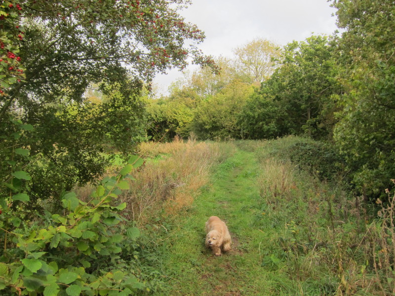
After a walk through the small village of West Stow, we return to the
bank of the Lark
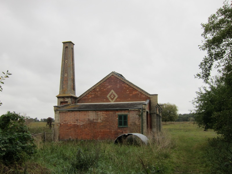
The pumphouse at West Stow Sewage Farm - built in 1887 as part of a plan
to relocate Bury St Edmunds' sewage works well downstream of the town.
It was eventually closed in 1962 when a new plant opened back upriver at
Fornham Park.
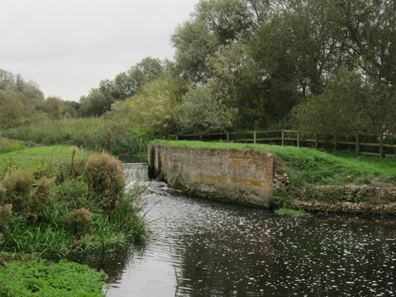
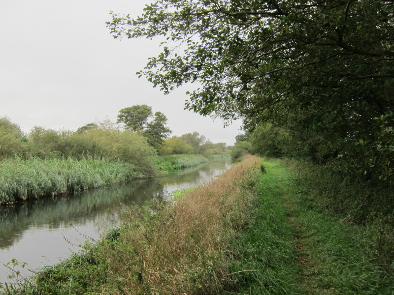
Site of another lock or staunch
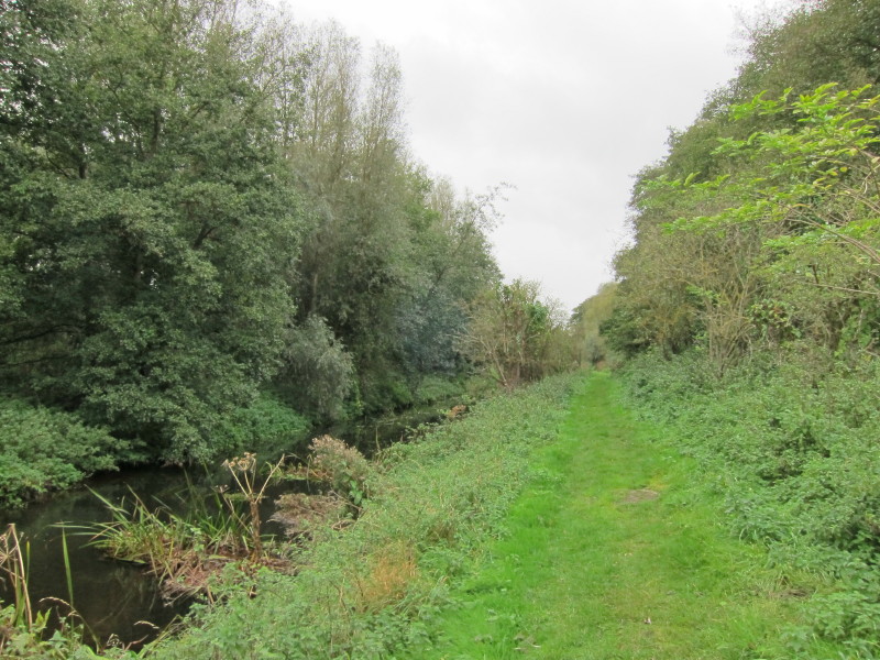
A very straight section - I'm not sure whether straightened in
connection with the making of the Navigation, or of the gravel pits on
the other side of the river.
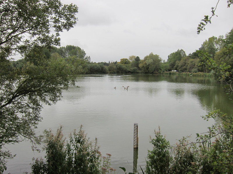
West Stow Lake, one of the gravel pits returned to nature since the
1970s.
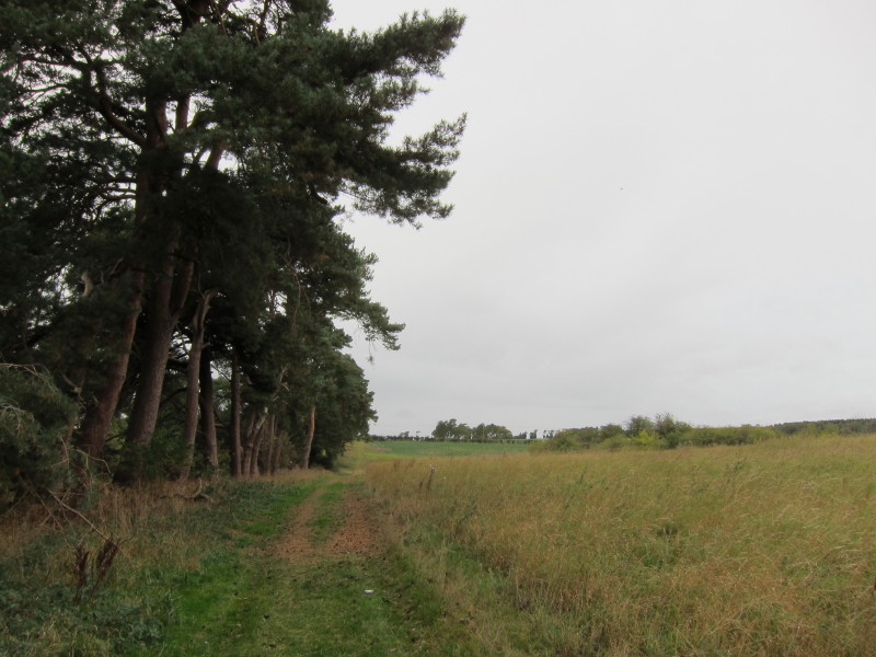
We then took to the route of the ancient Icknield Way for a little
while, turning off westwards though the route continued to be shared by
the more modern Icknield Way Path.
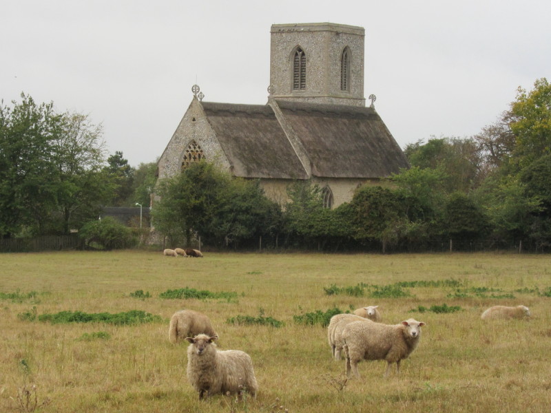
Approaching Icklingham church
On the other side of Icklingham, we take the road towards Temple Bridge.
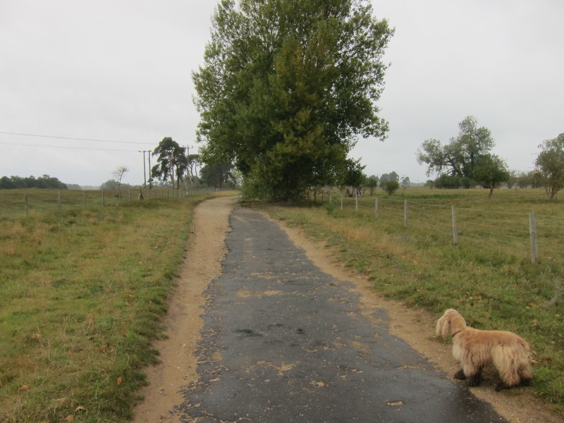
Ahead, the little-used road has trees growing out of the edge, and so
the road has diverted itself to the left
Back at the village, there was a sign warning of a weak bridge ahead and
that it was closed to all vehicular traffic. In fact, Temple Bridge has
been removed as unsafe, which is why the road we've been walking along
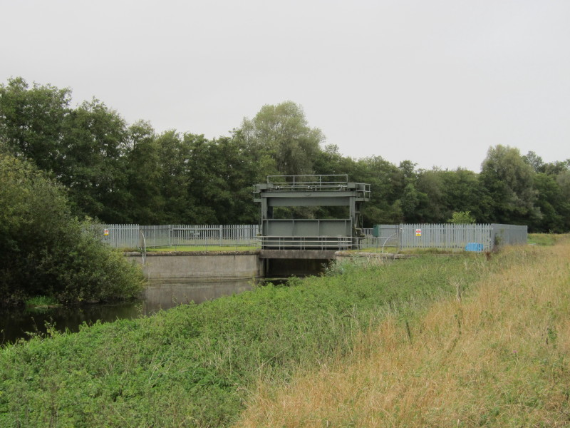
is so little used, as it no longer goes anywhere except to the staunch
here. There remains a narrow bridge suitable for walkers, cyclists and
horses.
The drizzle which had been light for much of the walk is gradually
turning into heavier drizzle
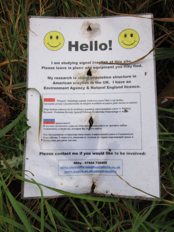
A sign of the times - combining study into crayfish numbers with
translation into Polish and Russian.
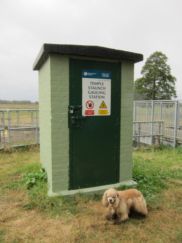
Lark Head Sluice Level is the point where the Cut-off Channel leaves the
River Lark, an indication that we are entering the Fens. The Channel is
a 40-kilometre drain which runs from here to Denver along the edge of
the Fens, and was constructed in the 1950s and 1960s. During times of
flood it carries the head waters of the River Lark, the River Wissey and
the Little Ouse to Denver Sluice.
The crossing of the A11 dual carriageway required a good deal of
patience to wait for suitable gaps in the heavy traffic, but eventually
we reached the old road across the Lark here at Barton Mills. The
building of the new A11 bridges at a low level severed any prospect of
renewed navigational use of the Lark upstream of here - ironically not
long after locks upstream had been rebuilt.
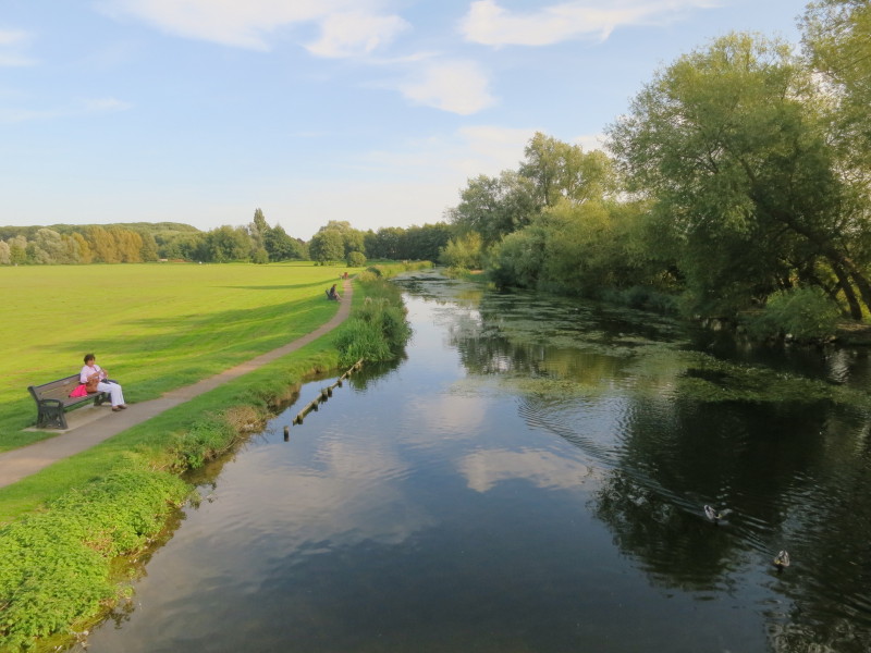
We're now walking alongside meadows on the edge of Mildenhall, with a
solid path - albeit a bit slippery in places. The river has broadened
considerably since Bury St Edmunds, and it is a shame that it won't see
many boats.
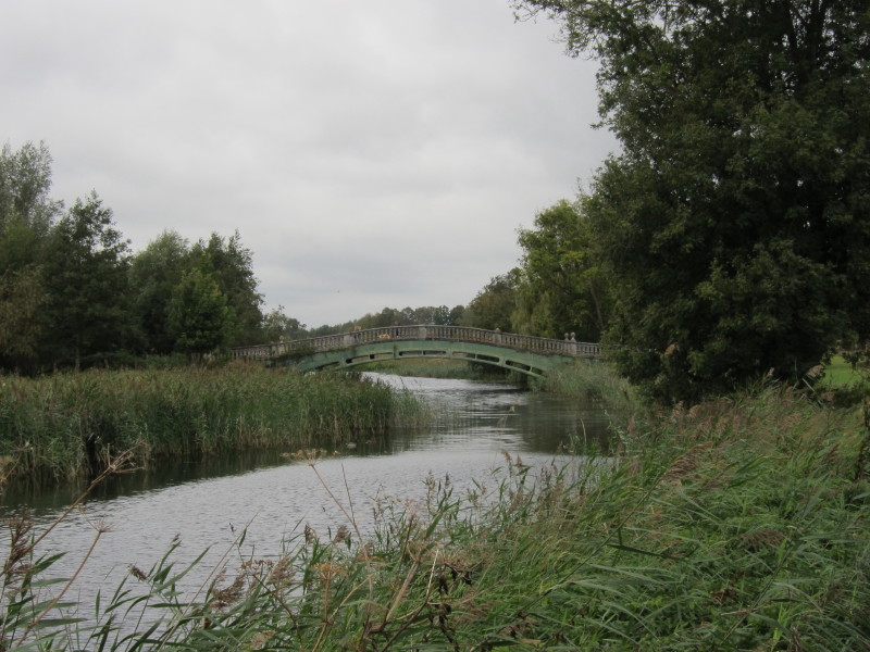
Almost at journey's end: here the official Lark Valley Path continues to
the right into Mildenhall. The towpath crosses this bridge and I'm sure
I'll be back one day to continue the walk to the River Great Ouse.
15 September 2012
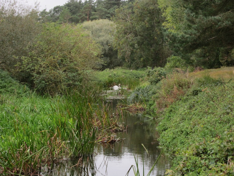
Continuing where we left off last year, this is a view back up the river
from the towpath bridge in the previous picture. What I've walked so far
is officially the extent of the Lark Valley Path, but a public right of
way continues along the remainder of the River Lark, and it is a
reasonable objective to continue the route.
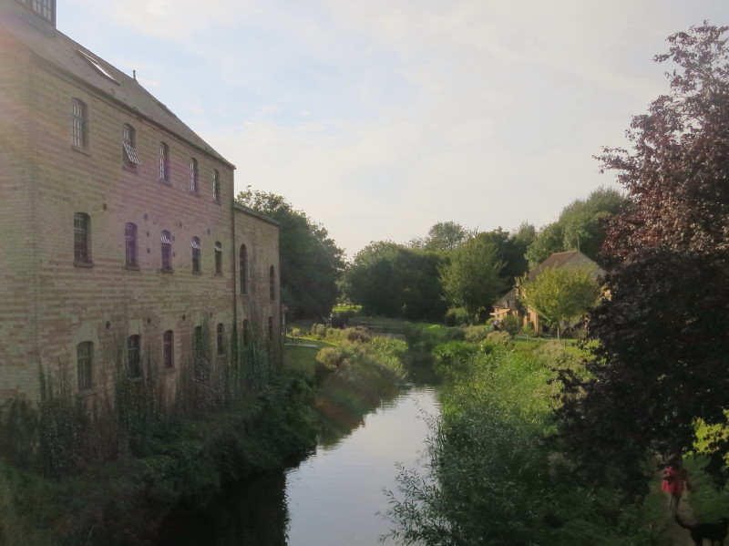
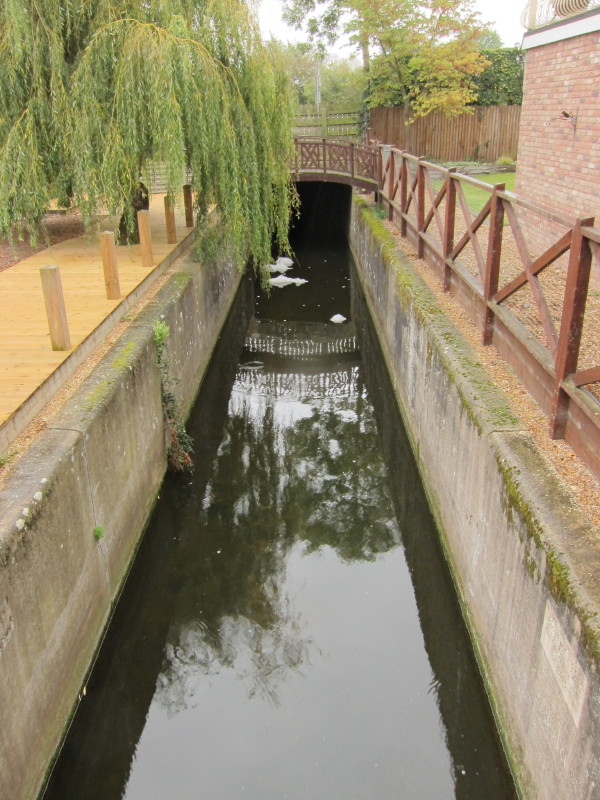
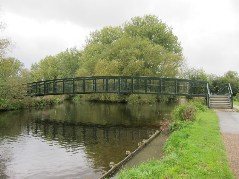
A little further downriver, we cross the water again, now looking down
past an old mill building
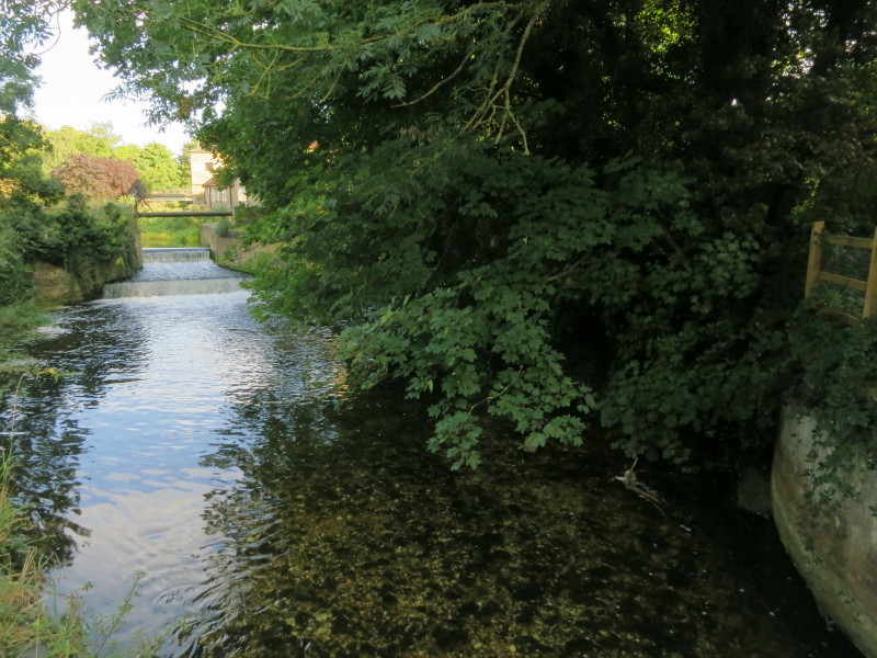
The remains of a lock
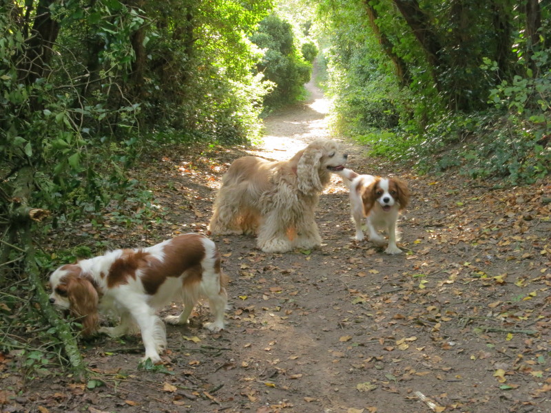
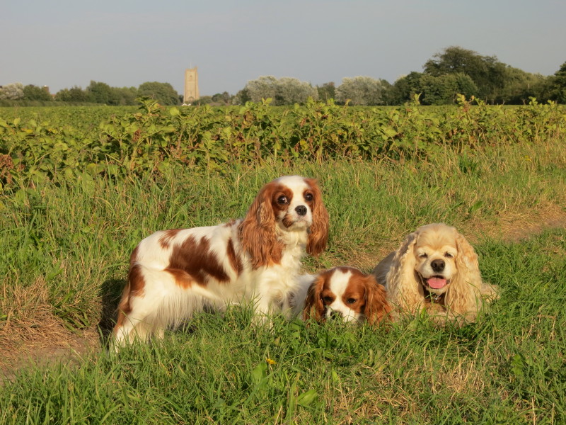
With Ellie getting ready for a show tomorrow, I have Hetty, George and
Lottie with me for this afternoon's short walk
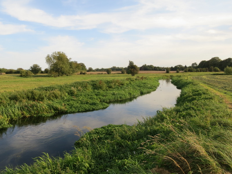
Into open country, and the public footpath follows the north bank as the
river twists and turns
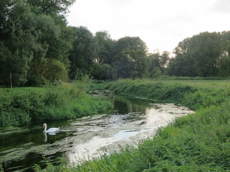
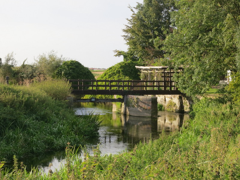
Approaching the remains of another staunch, now also the location of
someone's home
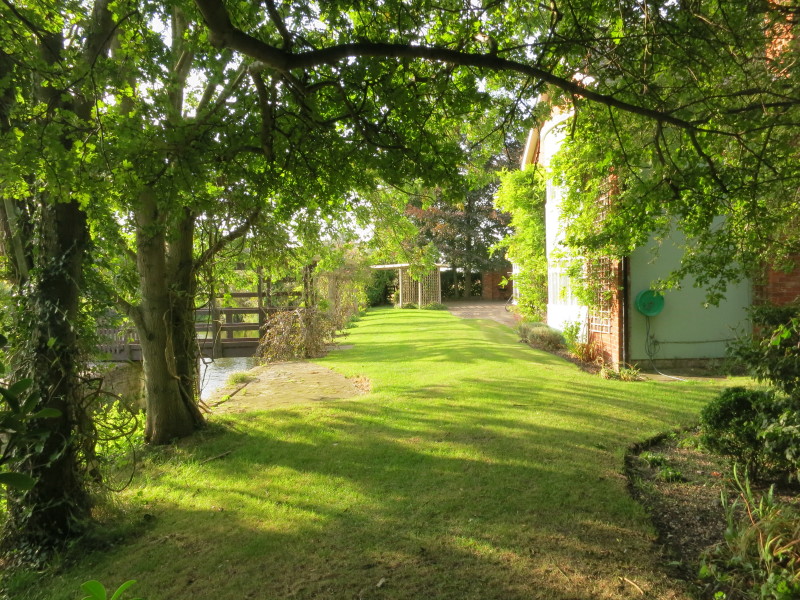
This is the route of the public footpath, through their garden, with
another public footpath coming in from the left across the bridge
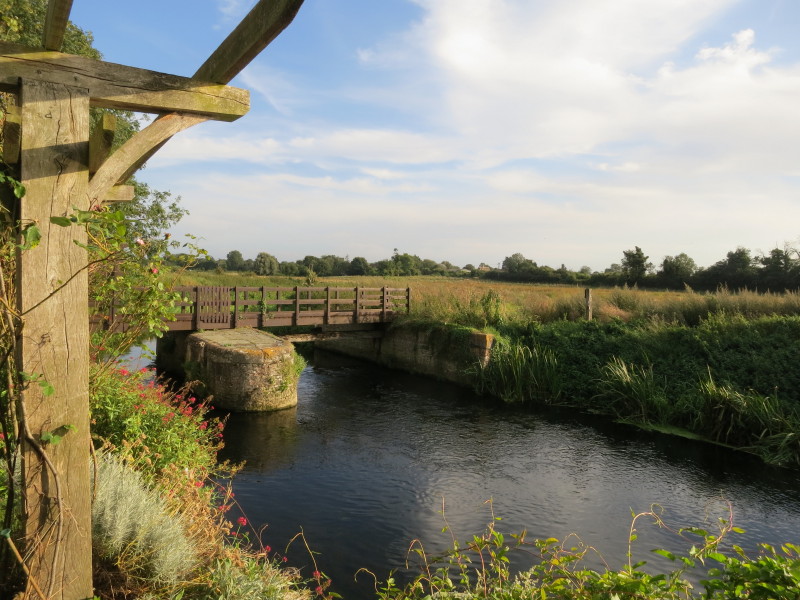
A view from their garden of the old staunch with a new bridge across it
We took a parallel route back to Mildenhall across fields
Zoom in for more detail, or click to view larger map in new window
Total journey along the Lark Valley Path over two walks: 23.8 km in 5 hours 46 minutes.
|