Lake District: Carrock Fell, High Pike, Knott and Little &
Great Calva
14 October 2011
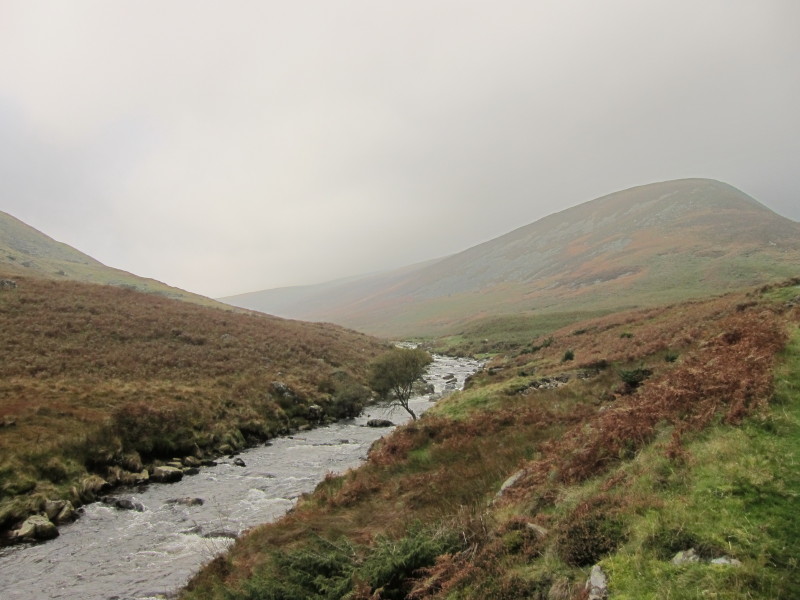
After parking at the head of the road up Mosedale, a look up the valley of the
River Caldew down which I plan to return later.
But my first objective is to scale the side of Carrock Fell, not something
recommended by Wainwright but other writers have suggested routes and alongside
Poddy Gill seemed practicable.
Crossing the beck several times in order to gain the better bank, and taking to
the stream bed at times, without too much difficulty I got above the bracken
line, and then it was a trudge across country, on grass with bits of heather.
Remains of an ancient hut, I think.
The weather forecast had been for lifting and breaking cloud, and a glimpse of
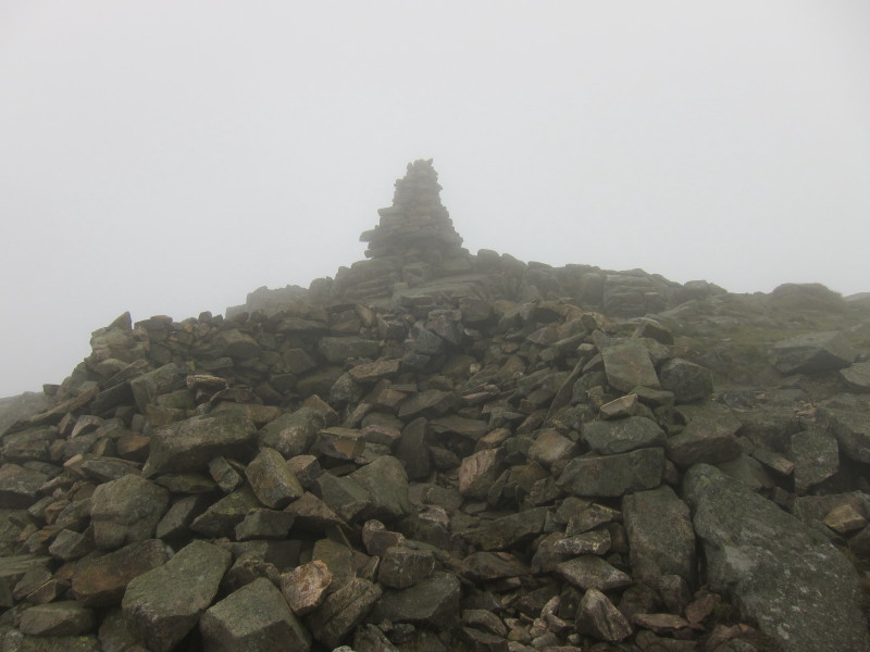
sunshine in the valley had supported that forecast, but onto the top of Carrock
Fell and the cloud is down.
On my way from Carrock Fell towards High Pike, and I am briefly below the bottom
of the clouds. A short way past this I was hailed by two walkers who wanted
guidance on where they were. It turned out that their planned route was almost
the same as mine (but for my addition of Little Calva), so we joined forces.
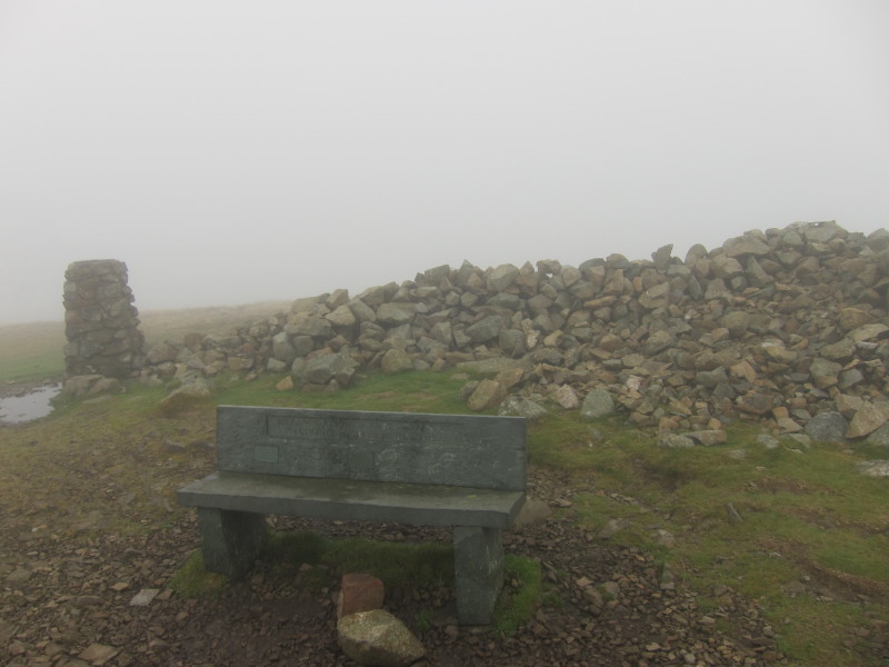
An usual sight - a bench on top of a Lakeland fell, this being High Pike.
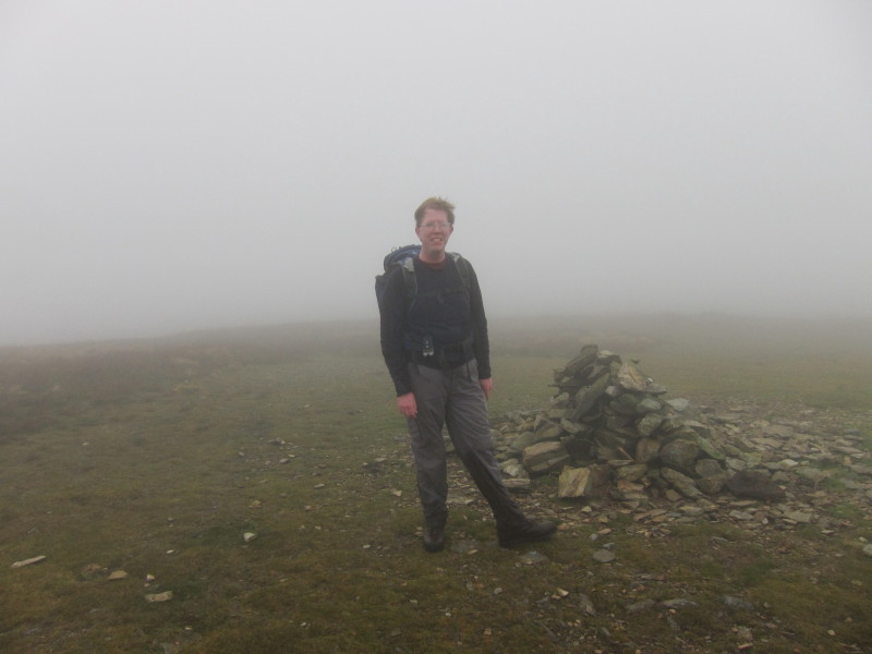
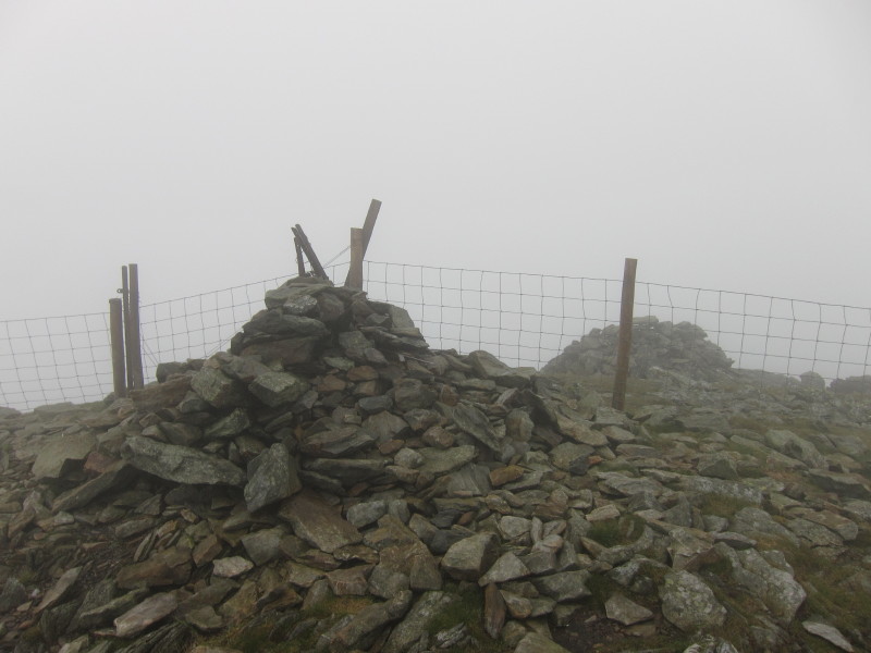
A windswept, damp and slightly muddy Stephen on top of Knott.
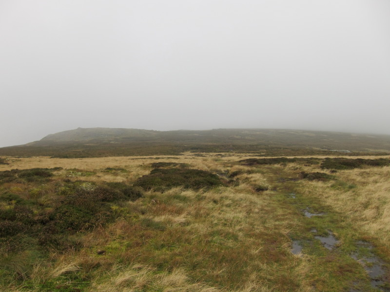
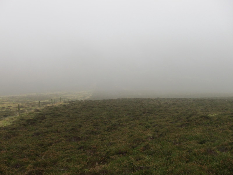
And this is Little Calva - Johnny and Polly (I think - I may have misremembered
their names) had left me when the route to Little Calva diverged from that to
Great Calva. With experience, they were very wise as the route to here was
largely pathless and soggy, and the attempted contouring bee-line to Great Calva
proved very hard work in deep and damp vegetation.
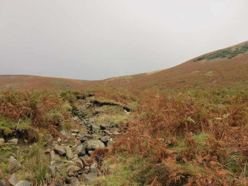
Descending from Great Calva
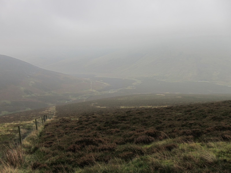
The view of the Caldew valley appears from out of the mist. There was a
reasonable path on this side of the fence to start with but it disappeared and I
crossed the fence to the left side where the going was a little easier.
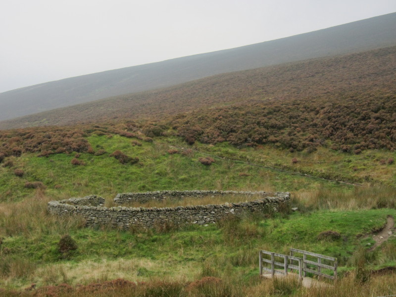
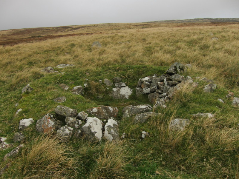
In the valley, a sheep fold, unusually circular.

Making my way along the Caldew valley with Carrock Fell in the far distance.
A shame the cloud never lifted as promised, and as a result a rather damp trudge
at times - no doubt a beautiful walk with excellent views in better weather.
Total distance 17.9 km and 886 metres of ascent in 6 hours 13 mins
Lake District holiday, October 2011
|
|