Lake District: Steel Knotts (Pikeawassa), Wether Hill and
Loadpot Hill
15 October 2011
After parking at the new Martindale church (new meaning the one from 1880) I
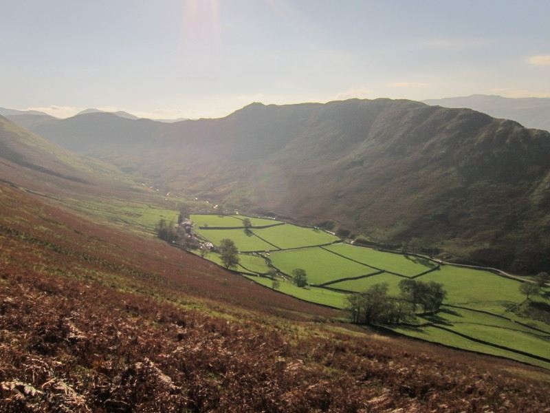
took the footpath around towards the old church, with a glimpse down Howegrain
Beck to Ullswater
From near the same point, a look up Martindale to Beda Fell.
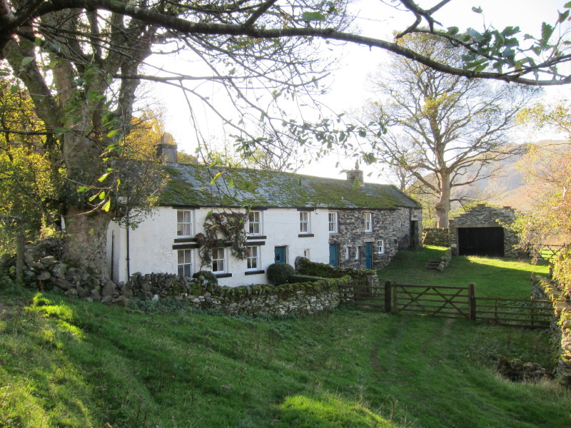
Cotehow
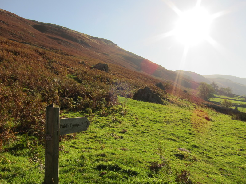
So after a short road walk, it is time to start the gain of height up Steel
Knotts, on the left here. The route gradually gains height along its flank,
before returning back to the summit.
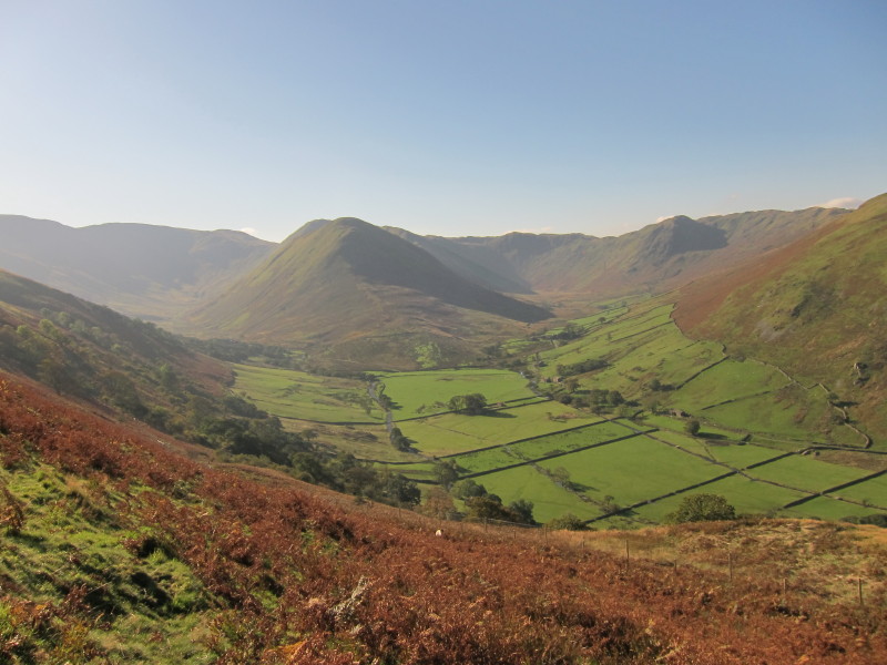
Gaining height, a look at upper Martindale, the valley split in two by The Nab
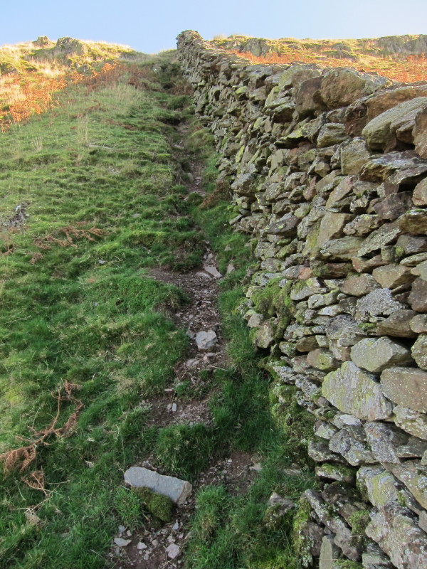
After the gradual ascent, a steep shortcut alongside this wall allows me to gain
the ridge
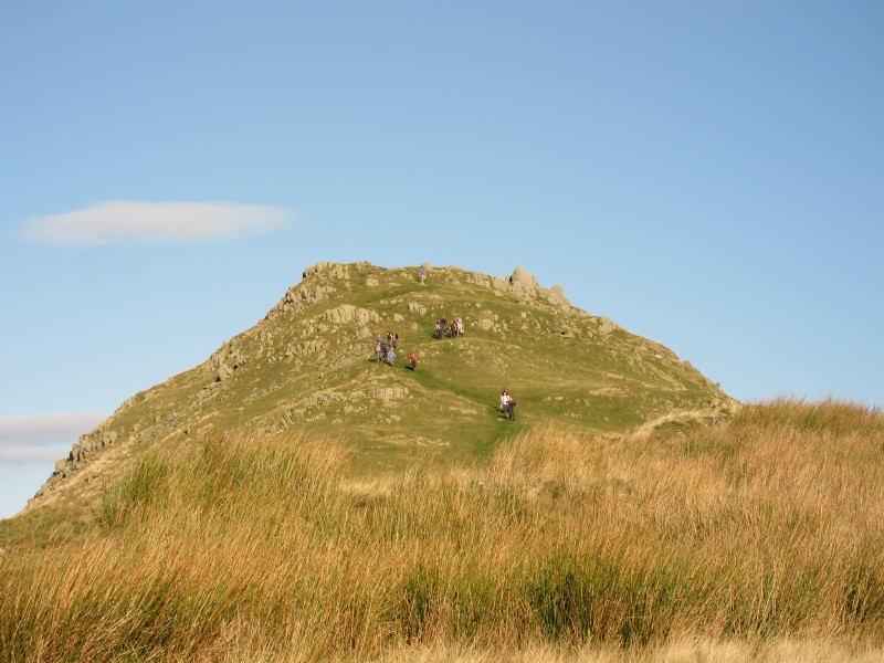
On the ridge, there is a big group leaving the summit.
There was another group on the top when I got there, but fortunately they didn't
stop too long and I then had it to myself. The summit of Steel Knotts is known
as Pikeawassa, and is a lovely rocky summit surrounded by higher fells to the
east, south and west, and Ullswater to the north.
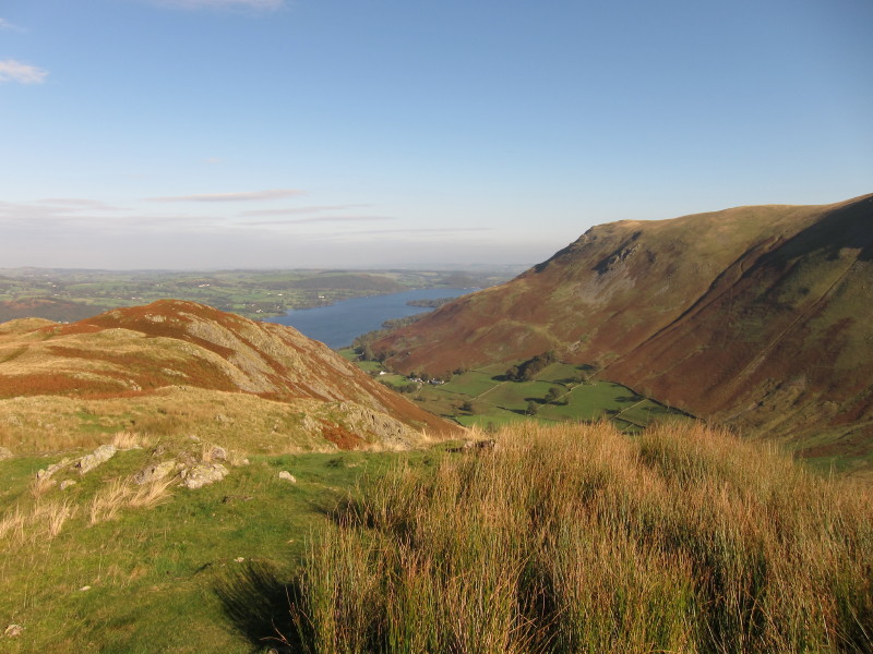
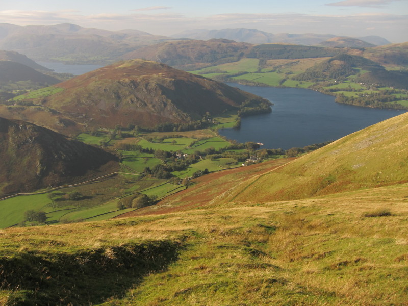
The eastern end of Ullswater
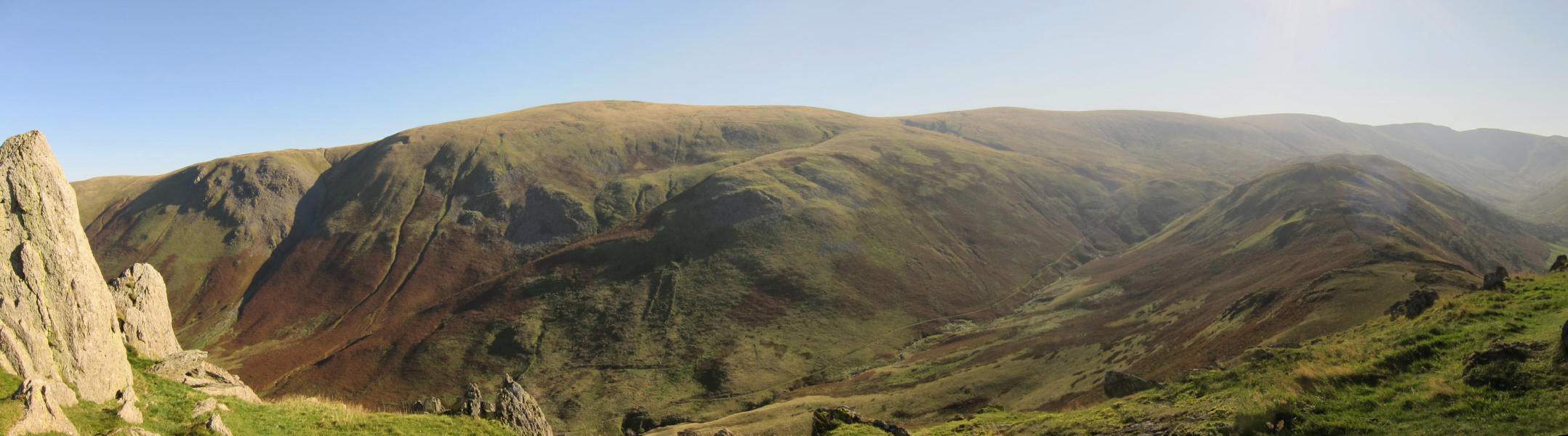
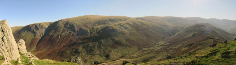
The next part of my route lies along the ridge over Brownthwaite Crag and Gowk
Hill before gaining the main massif to the left of picture. Just to the right of
centre of the photo is the 802-metre High Raise and to its right Rampsgill Head,
which will be my objective tomorrow.
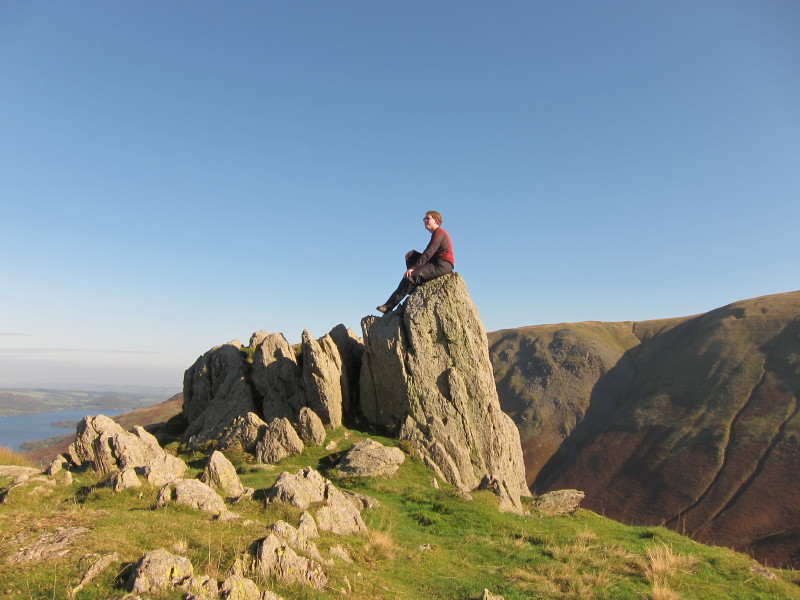
Finally from Pikeawassa, a look at the full length of the ridge.
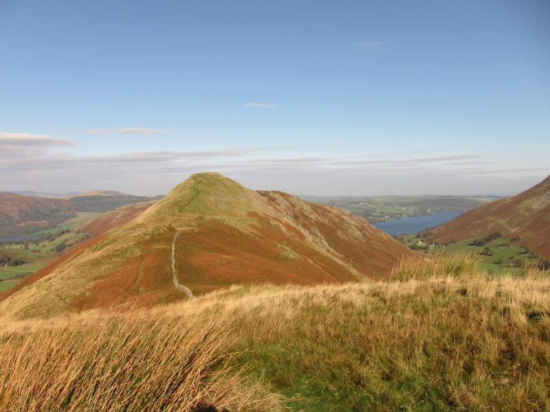
From Brownthwaite Crag, a look back to Steel Knotts
Ascending onto the main ridge, a look across the Beda Fell ridge to the
Helvellyn range on the horizon.
To the north-west, Blencathra is prominent among the northern fells.
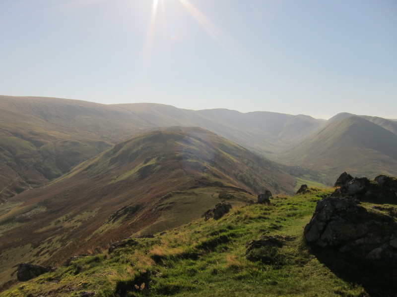
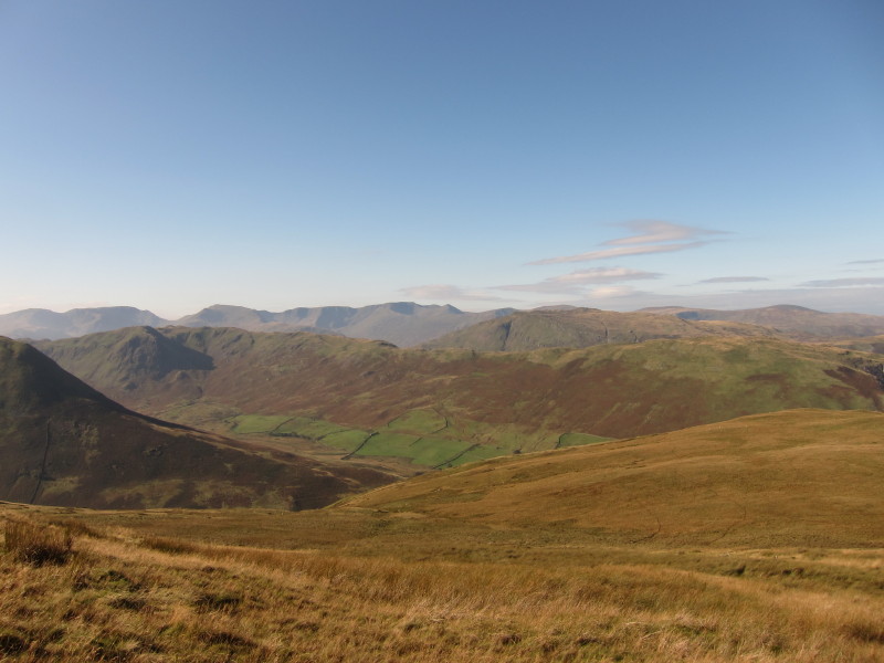
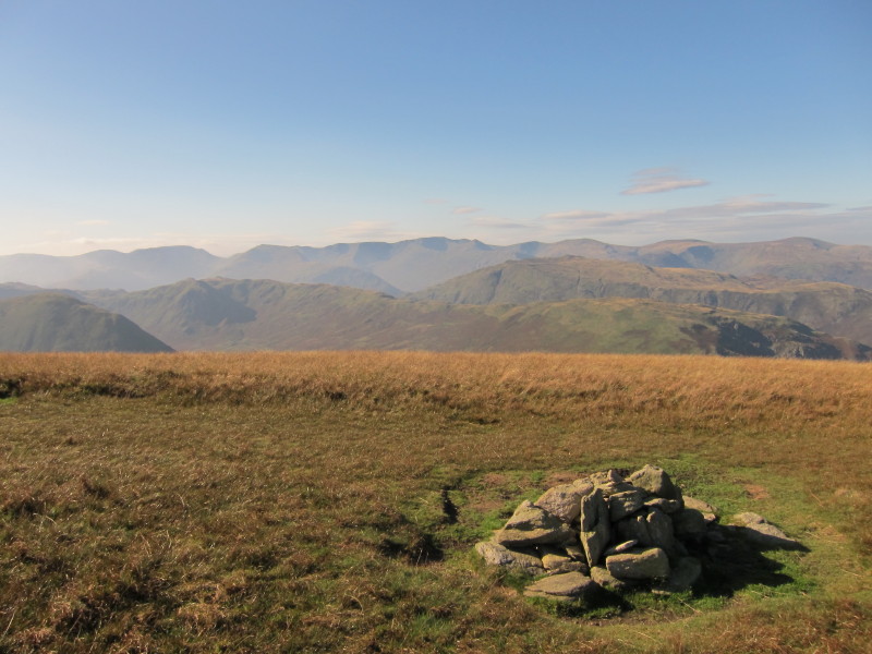
On the main ridge, a look back over Red Crag in the direction of High Raise
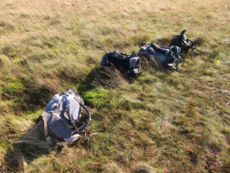
Four rucksacks by the side of the path - no sign of the owners
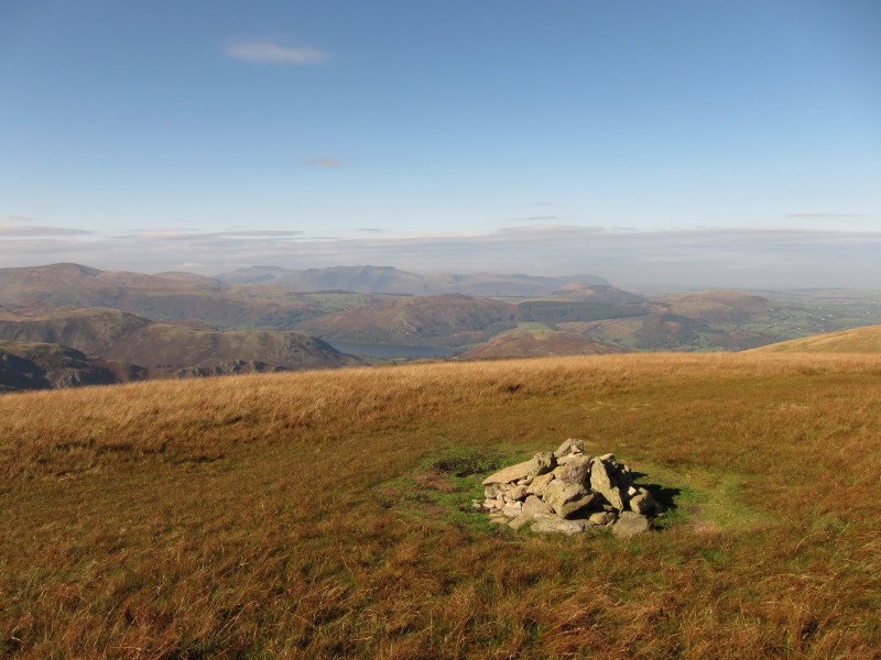
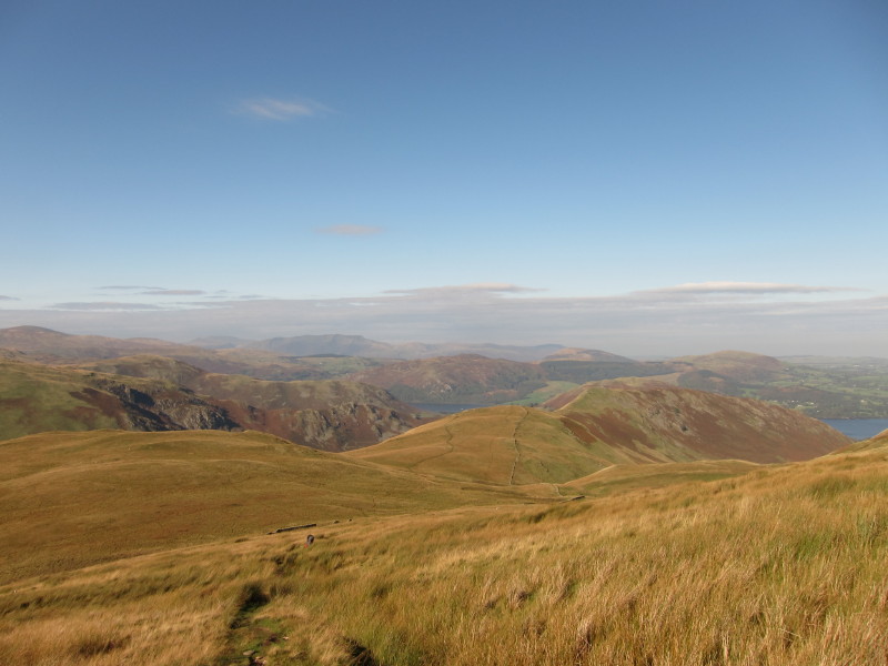
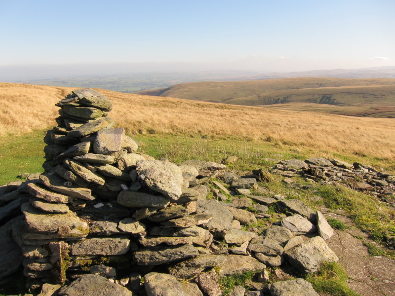
By the cairn on Wether Hill (probably not quite the highest point), a look past
the middle reach of Ullswater to Blencathra and the northern fells.
Helvellyn is centre - what a wonderful panorama of mountains.
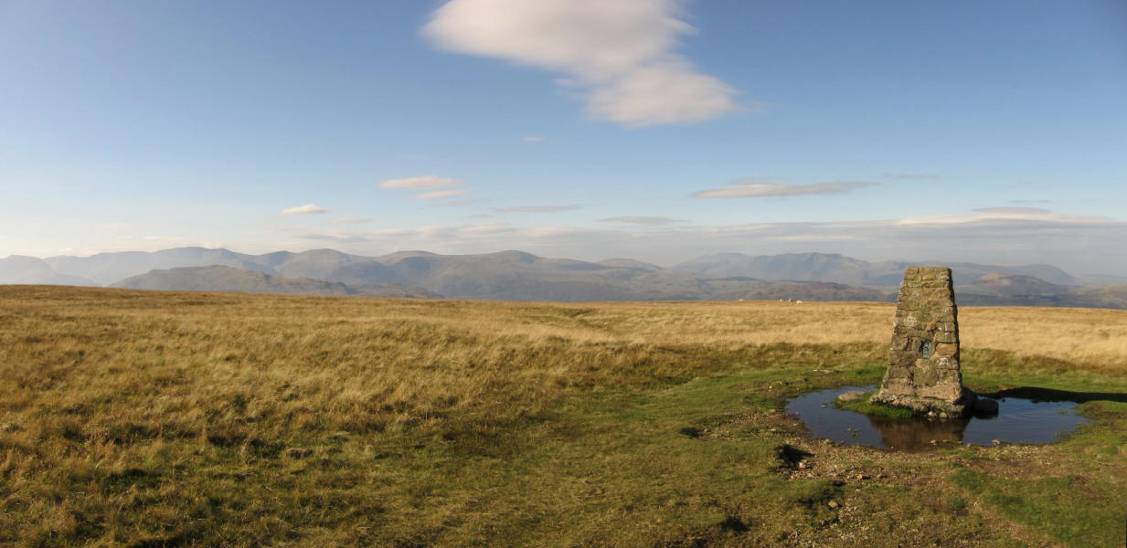
Loadpot Hill was once remarkable for having the remains of a house near its
summit, but the remains are becoming indistinct, and the "chimney" label on the
Ordnance Survey map is perhaps more historically educational than an accurate
description.
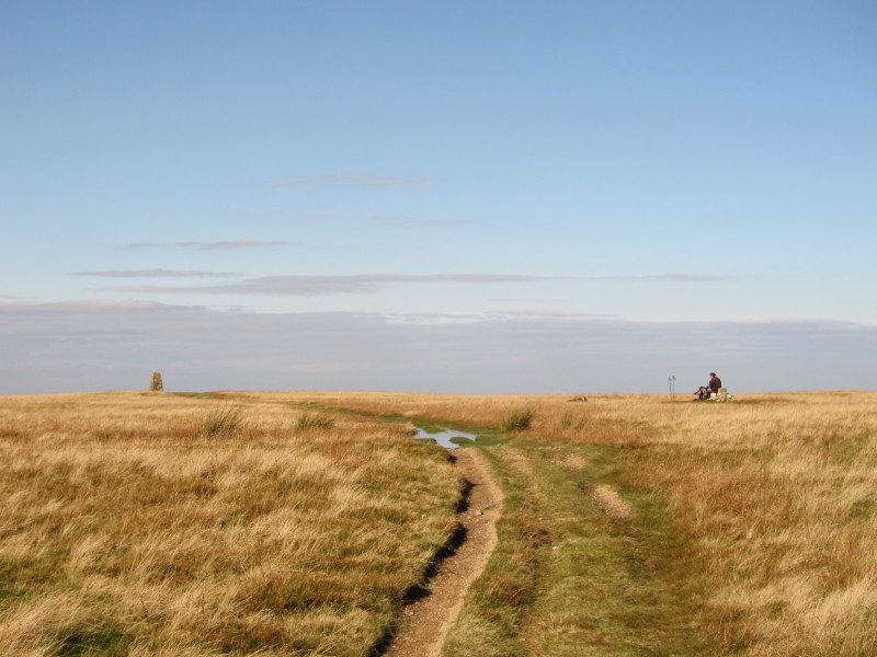
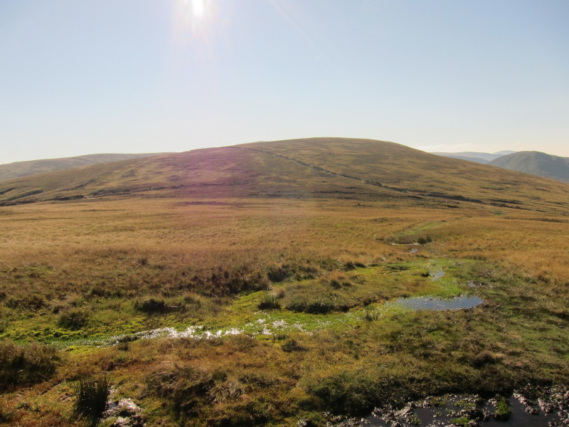
Approaching the flat top of Loadpot Hill
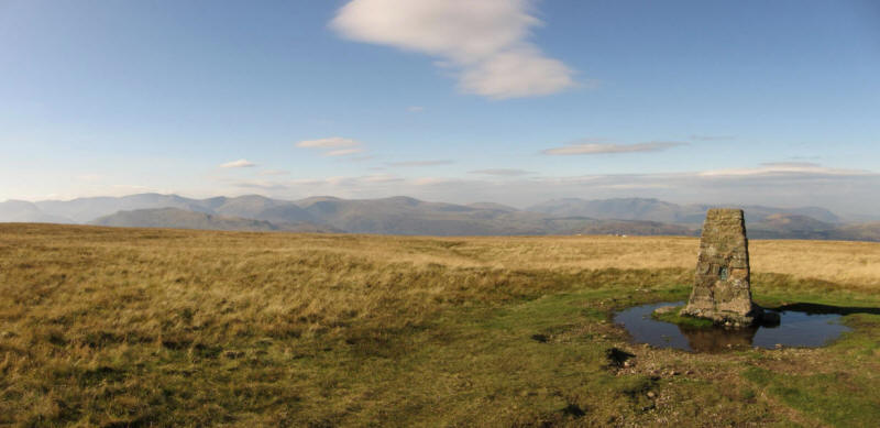
Most of the Eastern fells and Northern Fells in one photo - click the photo for
a larger version.
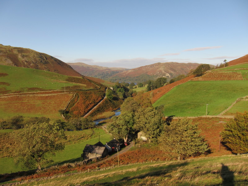
Heading down towards Howtown
Steel Knotts across Fusedale
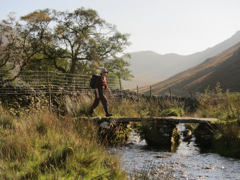
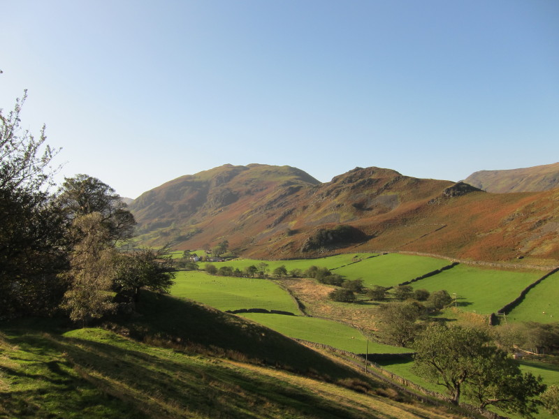
Me crossing the clapper bridge near Mellguards
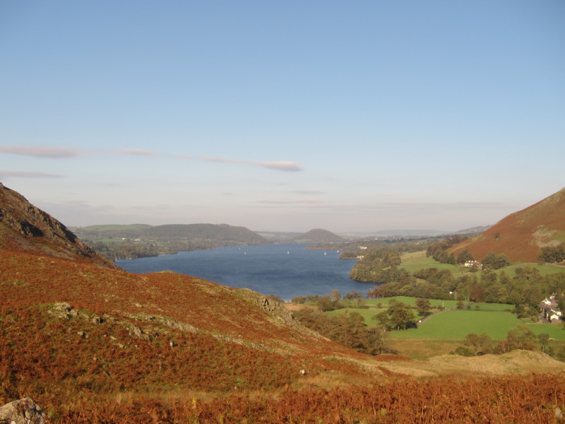
A last look at Ullswater as I climb to the col between Fusedale and Martindale
where the church and car are located.
A wonderful walk - always easier to be a wonderful walk in glorious weather, of
course, but some wonderful views and nice and easy underfoot most of the way.
Total distance 11.3 km and 729 metres of ascent in 4
hours 52 mins
Lake District holiday, October 2011
|
|