New River - Turkey Brook to Palmers Green
20 October 2007
On a beautiful autumn morning, but with a longer walk on the North Downs Way
tomorrow, Stephen and Henry continued their walk along the New River, continuing
from their walk to Turkey Brook.
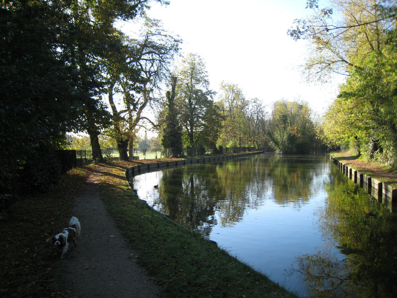
From Turkey Brook, we continue along the straight cut of the straightening of
the New River in the 1850s.
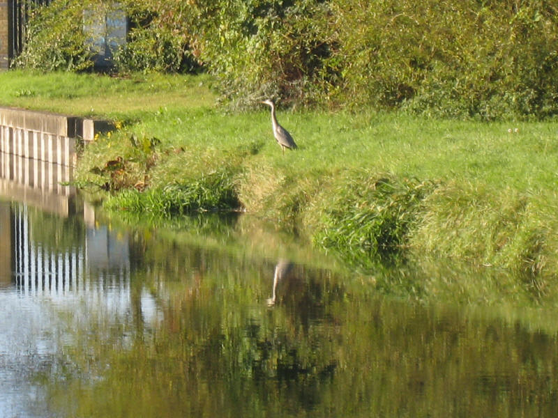
A heron as we reach the Forty Hill area.

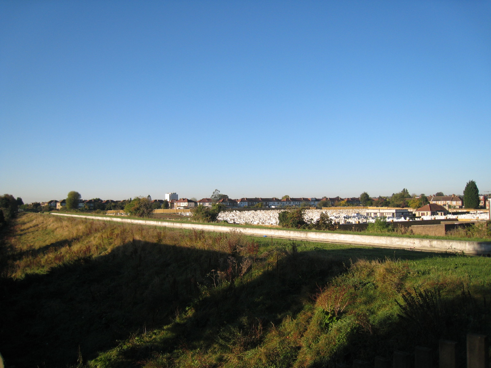
From Carterhatch Lane, looking across the embanked New River to the cemetery.
From here the New River Path starts one of the many diversions from the New
River itself that are a feature of the route from here to the terminus in
Islington. We walked part way down Ladysmith Road and then across the New River
and along a footpath into Parsonage Lane, which road then took us to the New
River Loop.
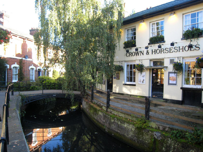
The Crown and Horseshoes is on the New River Loop in Enfield. This part of the
New River was made redundant in 1900 when the course of the River was
straightened again, with cast iron pipes carrying the water from Southbury Road
to Bush Hill. However, much of the Loop is accessible and was restored a few
years ago for its amenity and heritage value.
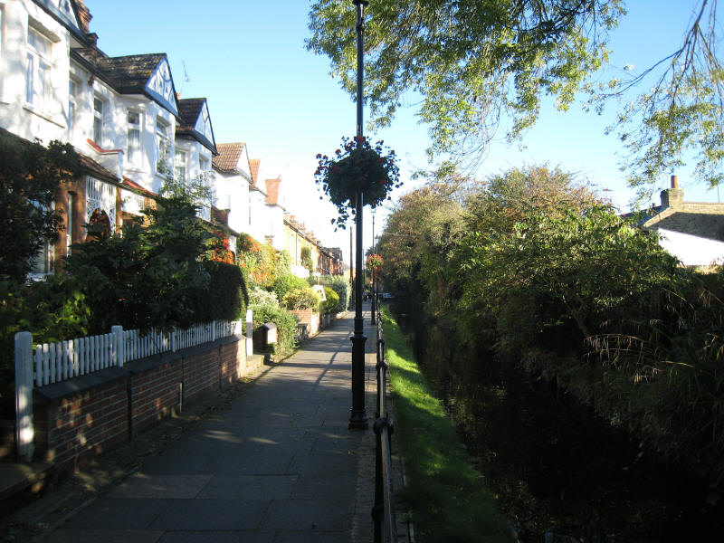
Looking back up New River View, where the houses are built with the New River as
a feature, in contrast to almost all the other houses seen so far and to come on
this walk.
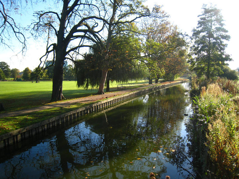
The New River at Gentleman's Row is always pleasant, and we stopped here for a
homemade shortbread with chocolate - delicious.
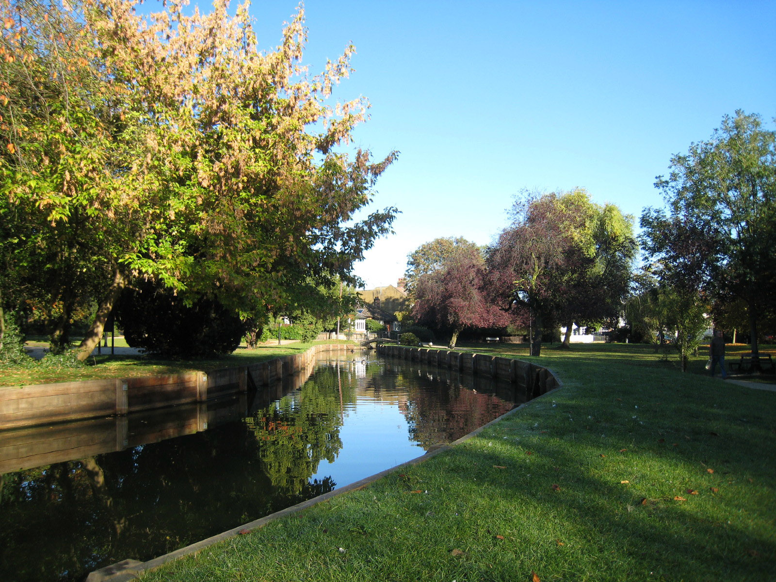
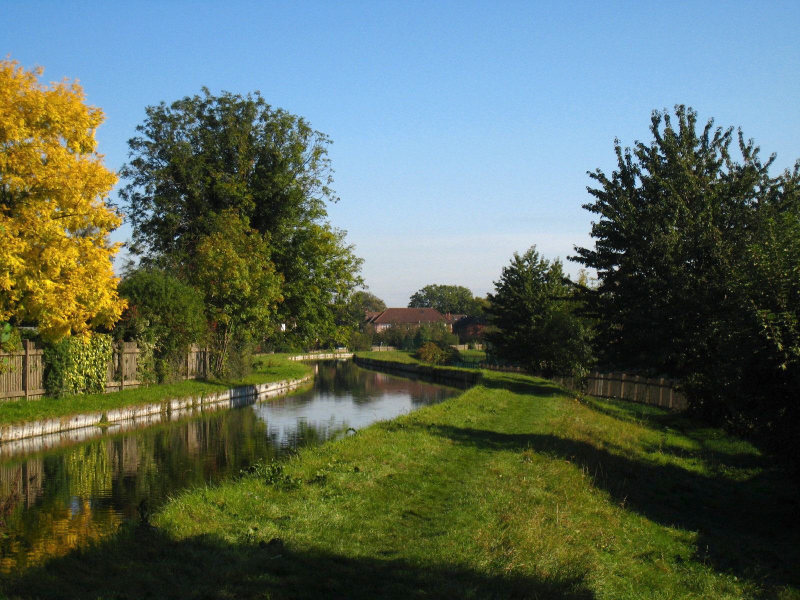
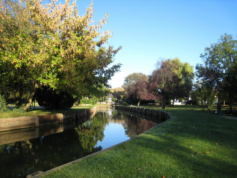
As we continue alongside the Town Park, the River widens
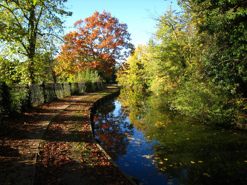
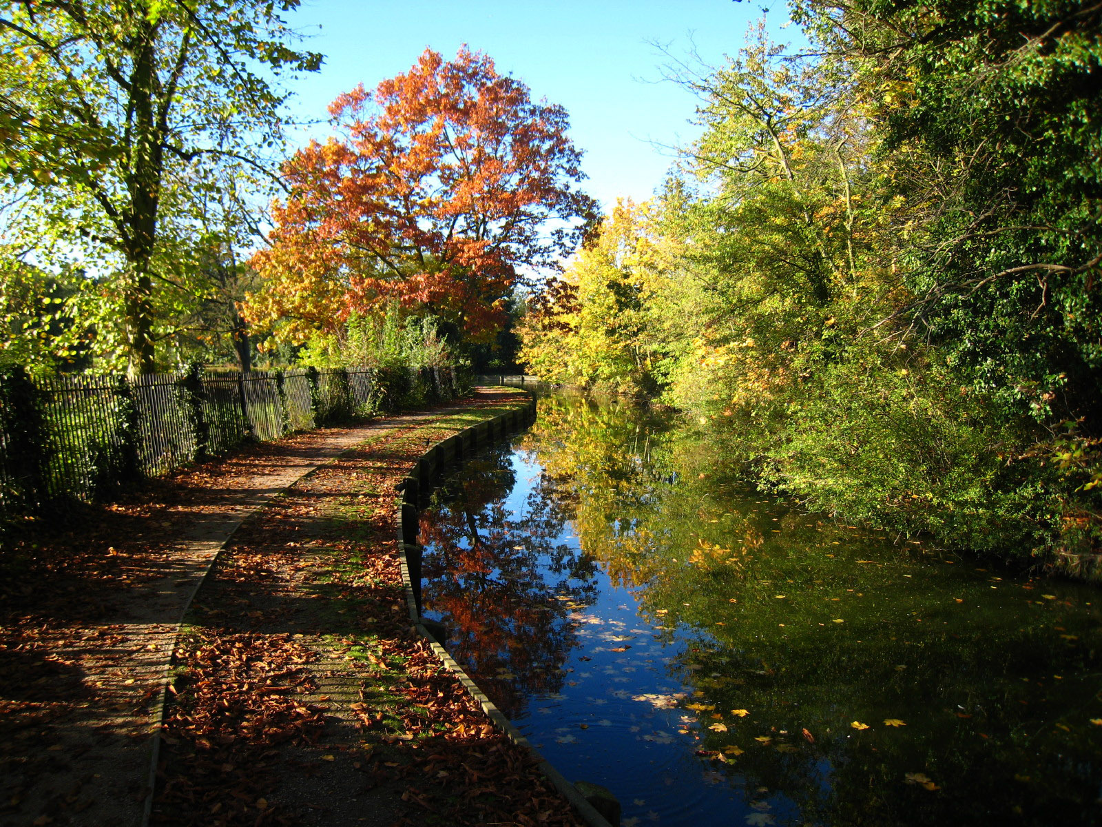
Beautiful autumn colours
At the corner of the Town Park, the New River Loop heads south-east, but it is
not a through route for pedestrians, so we head south up the hill through the
golf course to reach Carrs Lane, which we take to reach Bush Hill

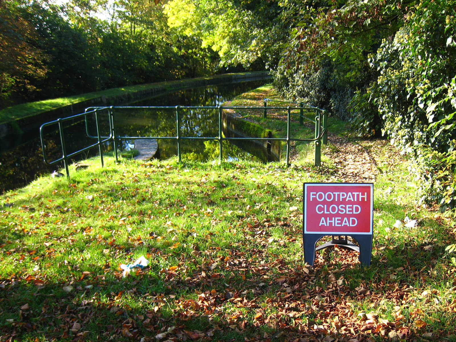
But when we eventually rejoin the New River, this sign greets us. I suppose it
is not totally useless, but it doesn't say how far "ahead", how long the path is
closed for, whether it is a total blockage or passable (as is often the case
with pavement closures with similar notices), whether there is an "escape route"
between here and there, or what alternative route is suggested. While the New
River Path is a permissive route rather than a right of way, and thus there is
no obligation on Thames Water to answer any of those questions, it was still
annoying. I decided to take a gamble and walk on in the hope of an escape route
or a closure which could be squeezed through.
You can just see a hint of red on the path in front, which is the second closure
sign, at the point where the New River Path leaves the embankment to join Bush
Hill again, a road which is closed at the moment (and where extensive traffic
diversion signs have been posted).
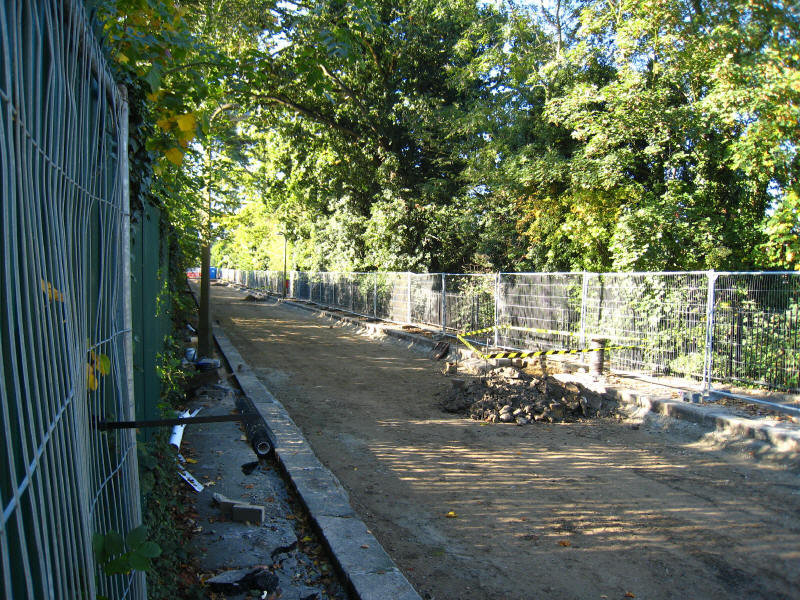
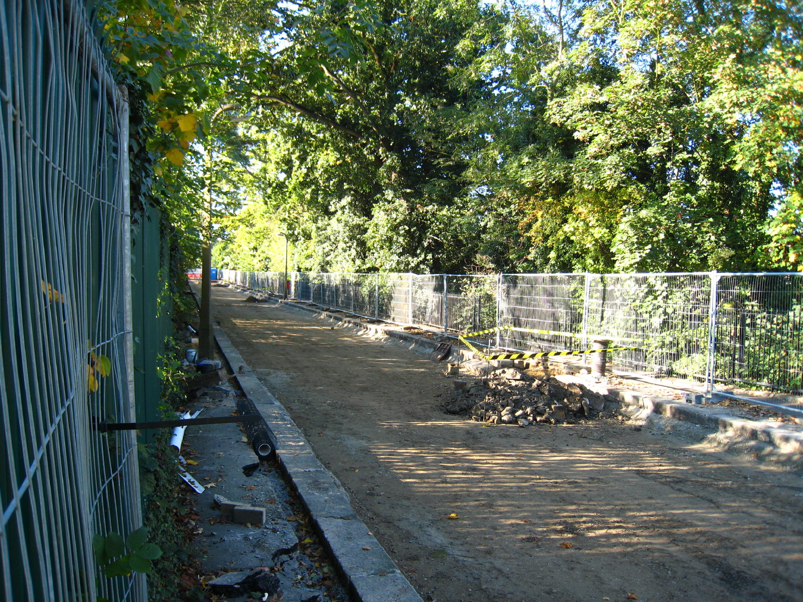
Peering through the fence, we can see the closed road. It is very frustrating,
as there is no work going on today, there are no significant hazards, and the
end of the closure is only about 150 metres away, but there is no real
alternative but to turn around and retrace our steps to the first notice and
take a diversion down to Ridge Avenue and then follow that round almost to Green
Dragon Lane - an extra 1.2km or so.
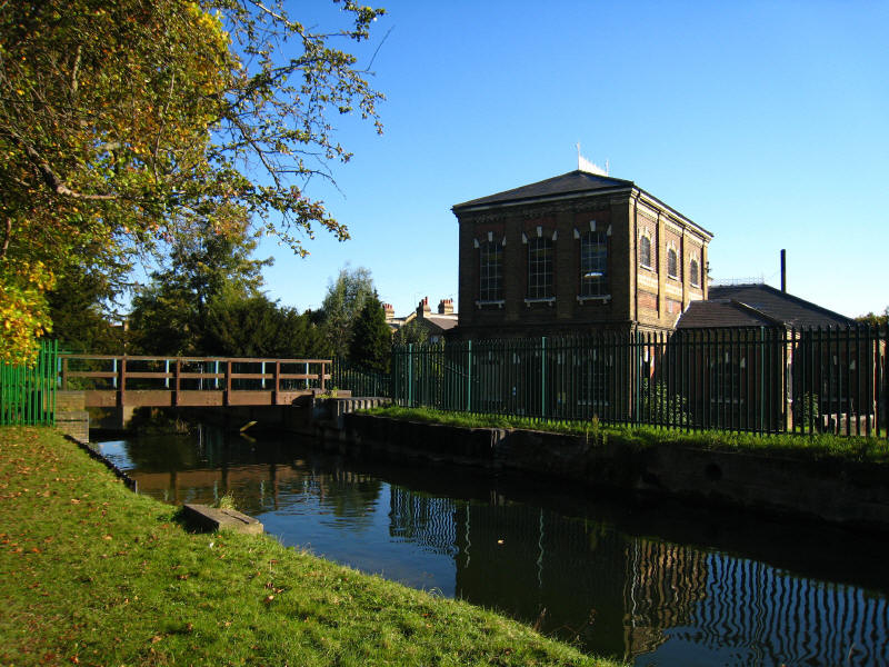
I think this is Highfield Pumping Station, built in 1885.

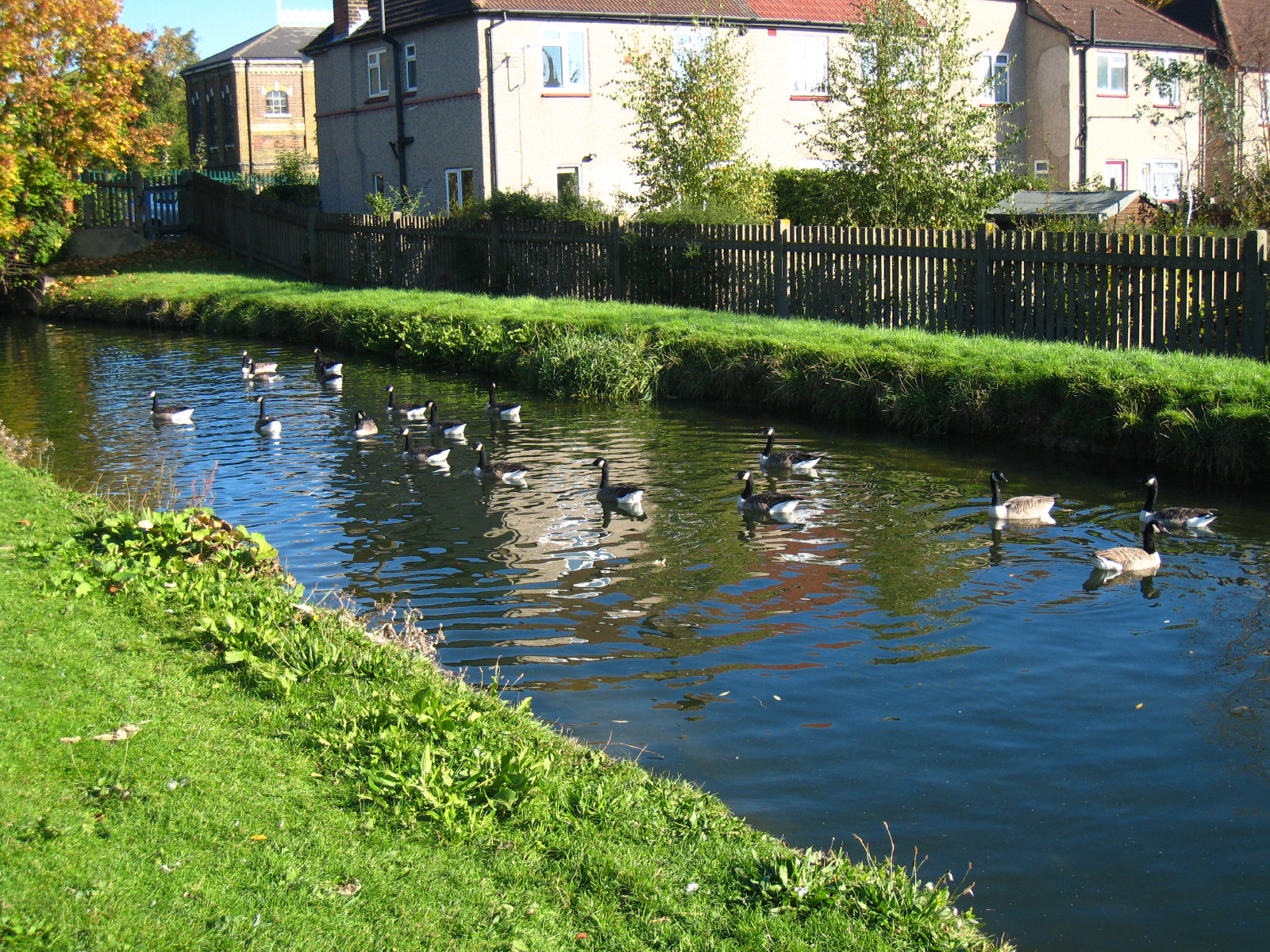
Part of a large flock of Canada Geese.

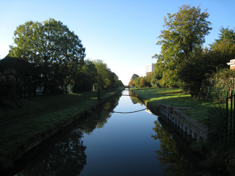
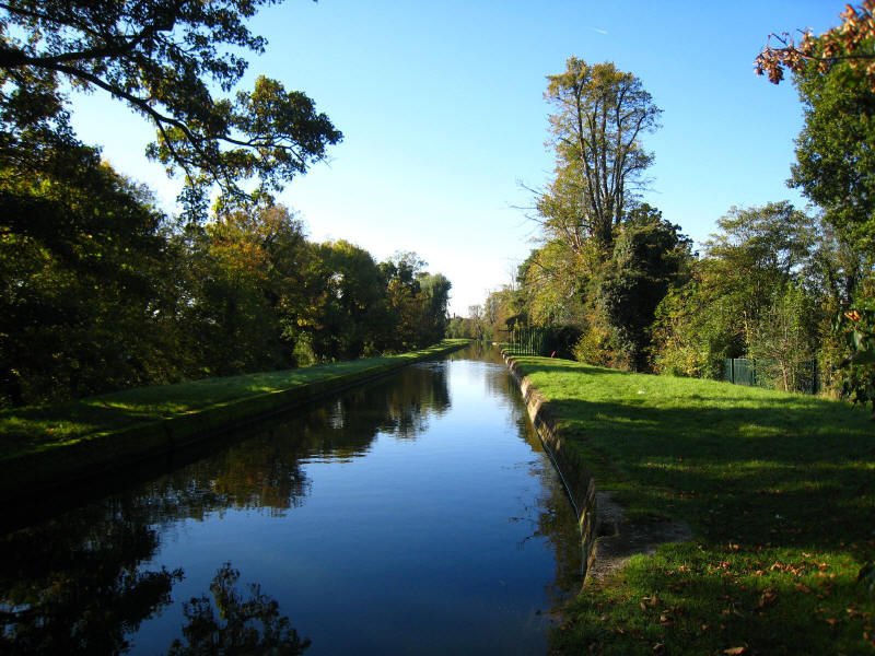
We then make our way south through Winchmore Hill and Palmers Green, the Path
making a series of diversions away from the River and then back to it, reaching
Oakthorpe Road, very close to the North Circular Road. A last look back at the
New River on its embankment before we go home, after a very pleasant autumnal
walk. A shame about the path closure, but overall an interesting walk - the
section through Enfield Town, though the most familiar having all been visited
before, was still the most attractive of the walk.
Total 10.4km (including the diversion around the temporary closure) - equivalent
to about 9.4 km along the New River Path; 68 metres
of ascent, in 2 hours 20 mins.
New River Path continues towards
Stamford Hill...
|