North Downs Way:
Farnham to Guildford
21 October 2007
So, after three walks already done along the North Downs Way further east, here
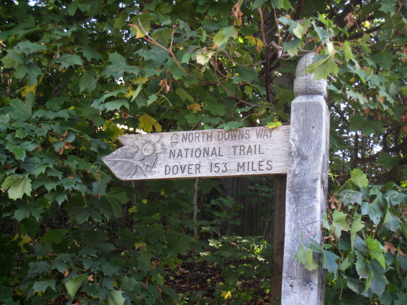
we are at last at the start in Farnham. This attractive carved sign is on a
hideous road junction with the A31 dual carriageway, near Farnham station, which
is an inauspicious start for a rural walk, but that urban noise is quickly left
behind. Incidentally, it is totally inaccurate - it is nothing like 153 miles to
Dover. It is 125 miles via the "southern" route, or 131 miles via Canterbury.
Possibly the total mileage of the North Downs Way is 153 miles, but that doesn't
make it 153 miles to Dover.
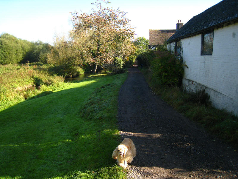
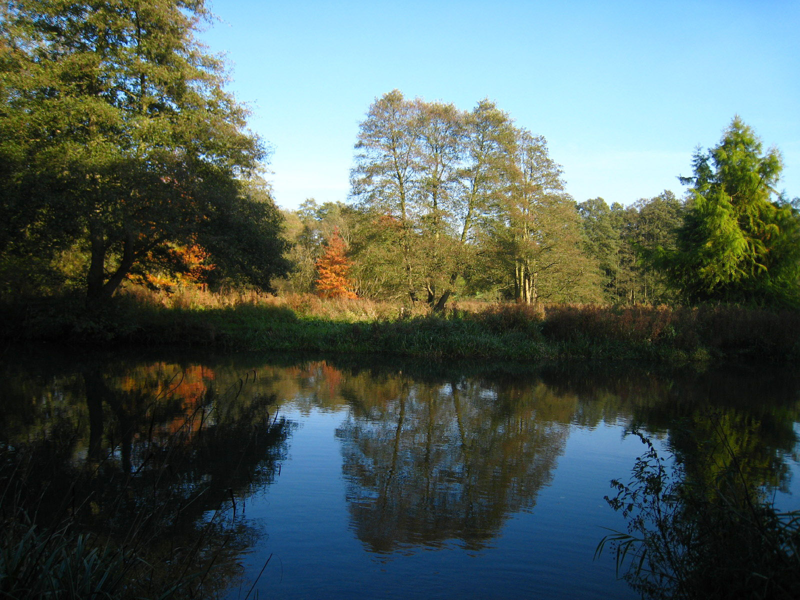
Before long, we find ourselves walking along a track along the infant River Wey
(or at least, one of the Rivers Wey, as there appear to be at least three
tributaries of the Wey which are called the Wey).
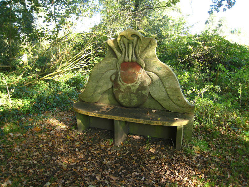
A carved bench celebrating the North Downs Way, also with the incorrect mileage
to Dover.

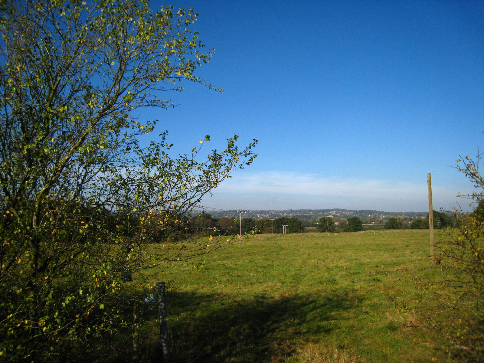
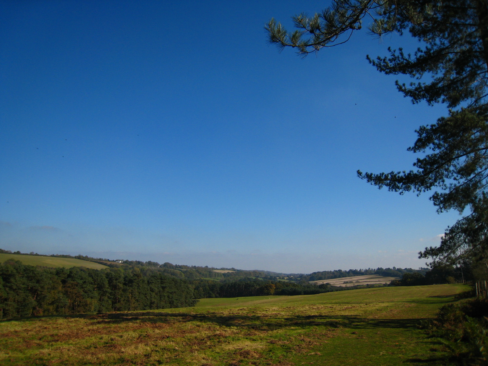
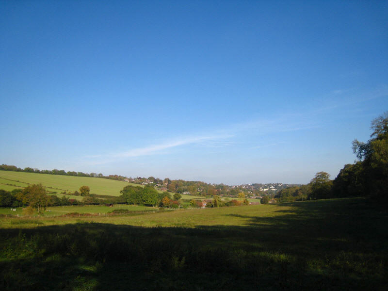
We start to gain some height with the first feeling of being on something which
might be called Downs, and look back towards Farnham
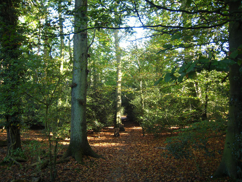
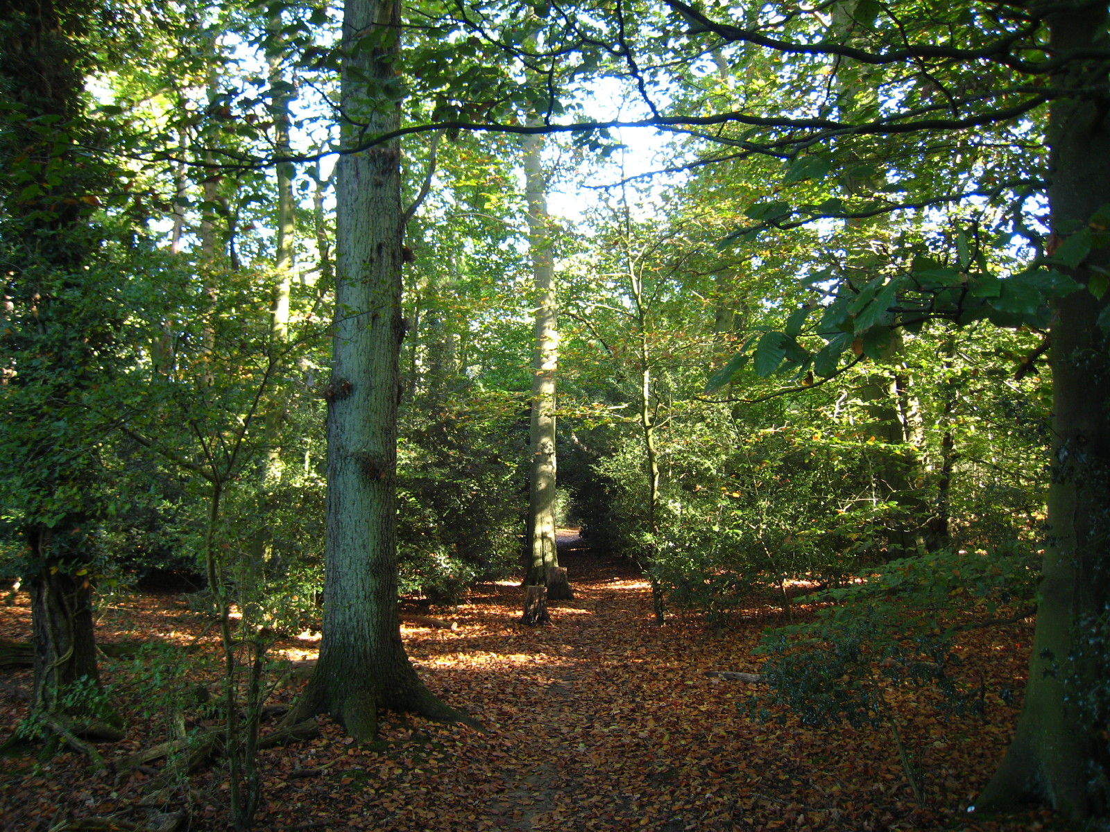
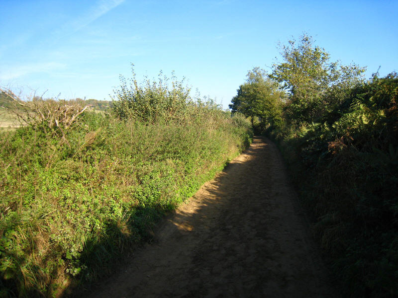
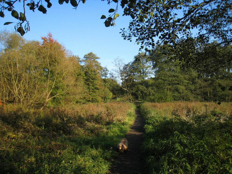
Woodland was a fair portion of today's walk, much of it light and airy.

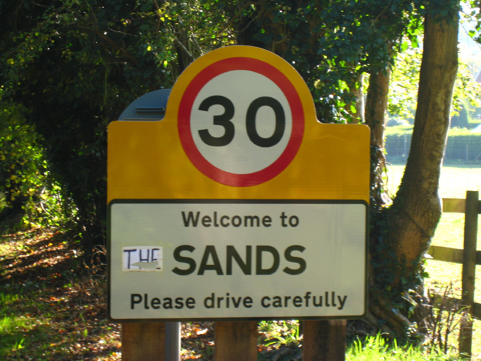
Perhaps some local dispute as to the name of the place? Certainly the Ordnance
Survey has it as "The Sands".
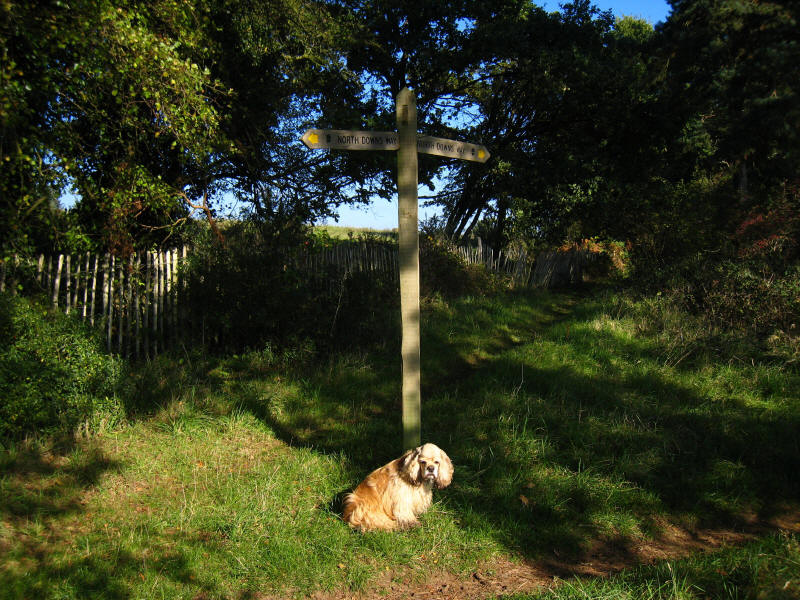
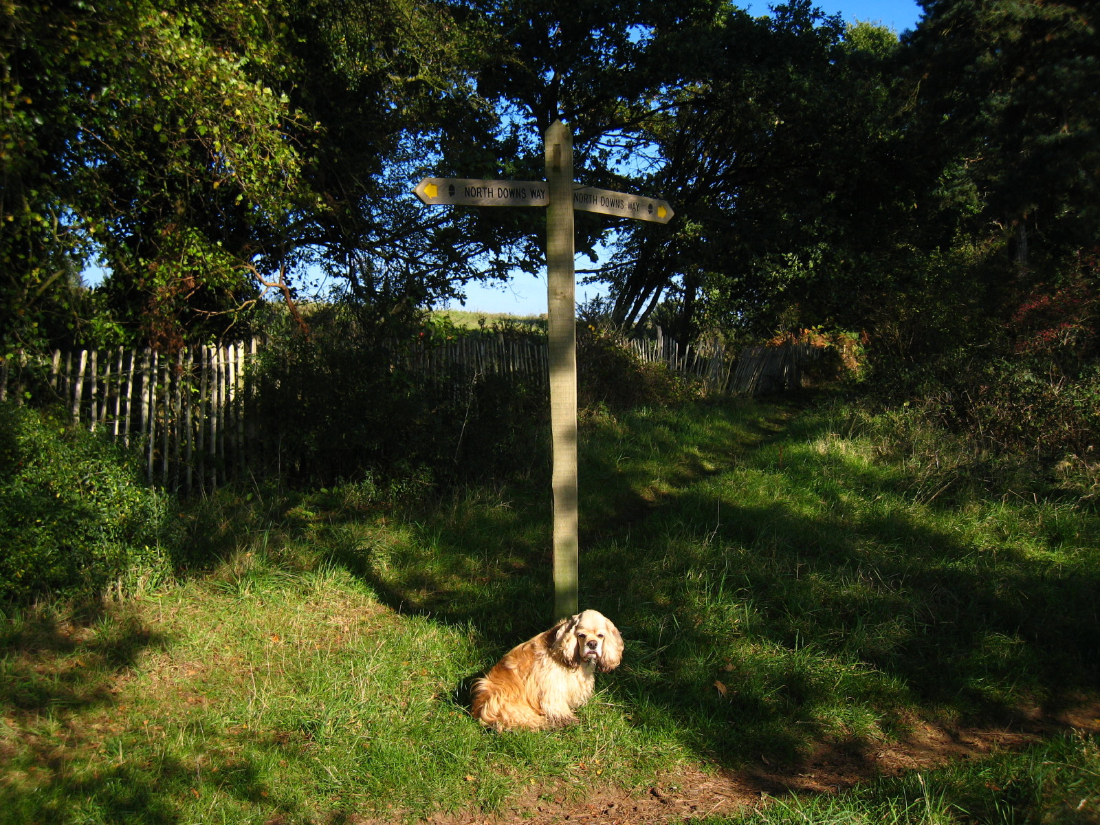
Today's walk was exceptionally well signed, and there was rarely any call to
consult the guidebook or map. I'm not sure I would want to choose to do the
route without, but in extremis it could be managed with a good deal of care.
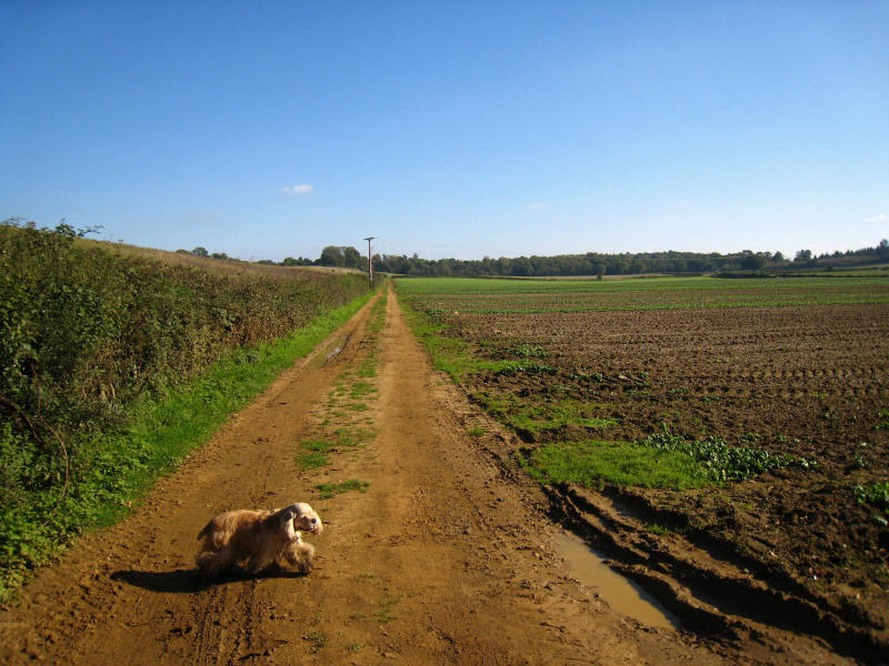
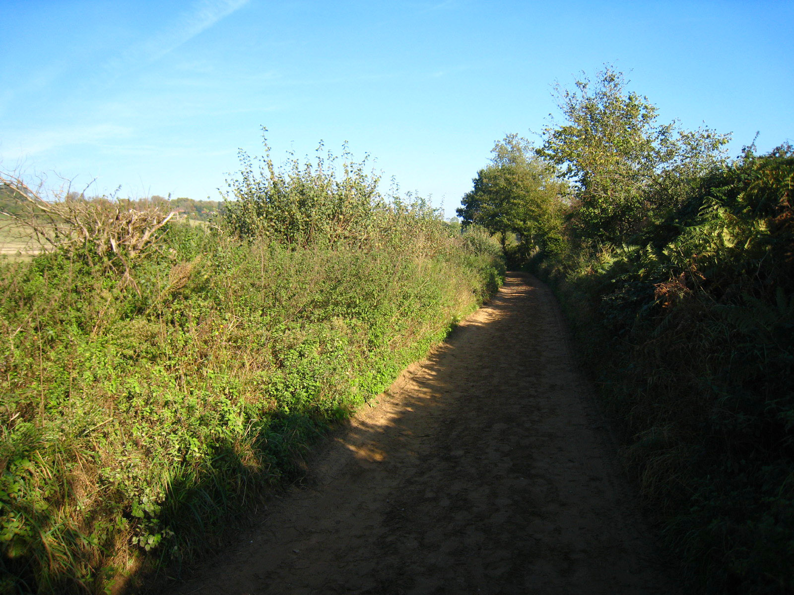
Walking along a sandy farm track. Indeed sand was a surprisingly dominant
feature of the walk, with a high proportion of the paths being sandy.

Emerging from woodland we reach a lovely section with views to the Hog's Back
ridge
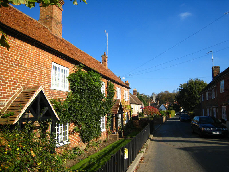
Eventually after an undulating section we reach the village of Puttenham

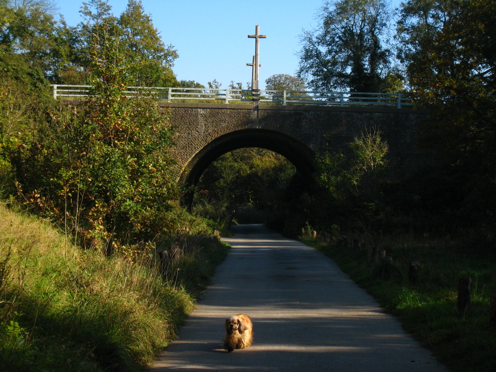
Our route under the B3000 is marked with crosses marking this as the Pilgrims'
Way
From here over the next 3½ kilometres or so into Guildford, the route becomes
very sandy indeed. This means that there is no mud, but as anyone who has walked
on a beach knows, it can be a bit heavy going.
First views of Guildford

After a short but steep descent, we reach the River Wey again,
Once on the other side of the river, we make our way across Shalford Park
and to the waiting Lucy with the car.
Total distance on the GPS was 19.4km (18.6km on the Way) with 280m ascent, in 4 hours
25 minutes - that means that
about 40% of the
North Downs Way is now walked.


|