Peddars Way
4: Thompson to Swaffham
17 April 2010
Another weekend, another visit to the Peddars Way,
this time at last for a one-way walk and a decent amount of progress, on
what was a cold foggy morning when we left home, but was sunny and
rapidly warming by the time we reached the start of the walk.
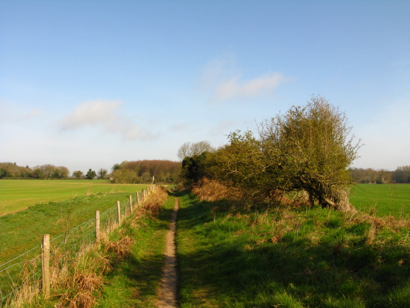
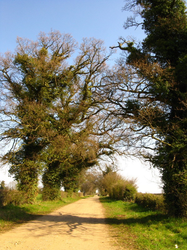
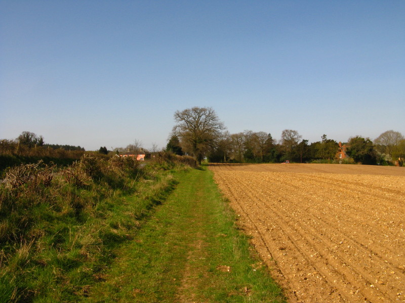
The route continues alongside the military land to the left, but looking
suspiciously like ordinary farmland.
St Andrew's church, Tottington. The village was evacuated during World
War II to give troops land to prepare for the invasion of France.
Although the villagers were promised that they could return after the
war, they were never allowed. The church's roof is clad in blast-proof
sheeting to protect it from military activities, with the original roof
stored inside in case the army ever leaves.
Looking west along a road into Tottington, the old-style sign followed
by the army's red flag.
We then start to leave the army training ground and walk around the edge
of Merton Park, also leaving the ancient route of the Roman road for a
while.
The long straight route looks like it should be following the route of
the Roman road, but that lies a little way to the west.
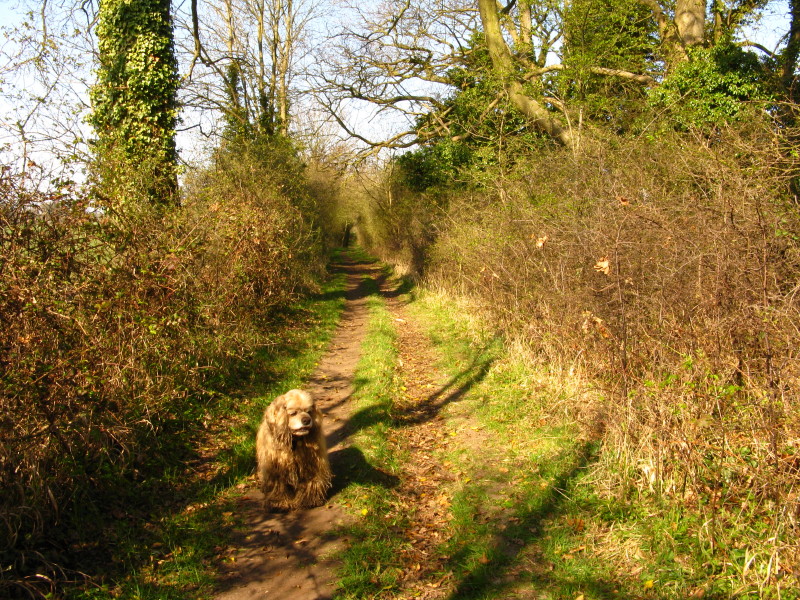
We follow the path west through Capp's Bush
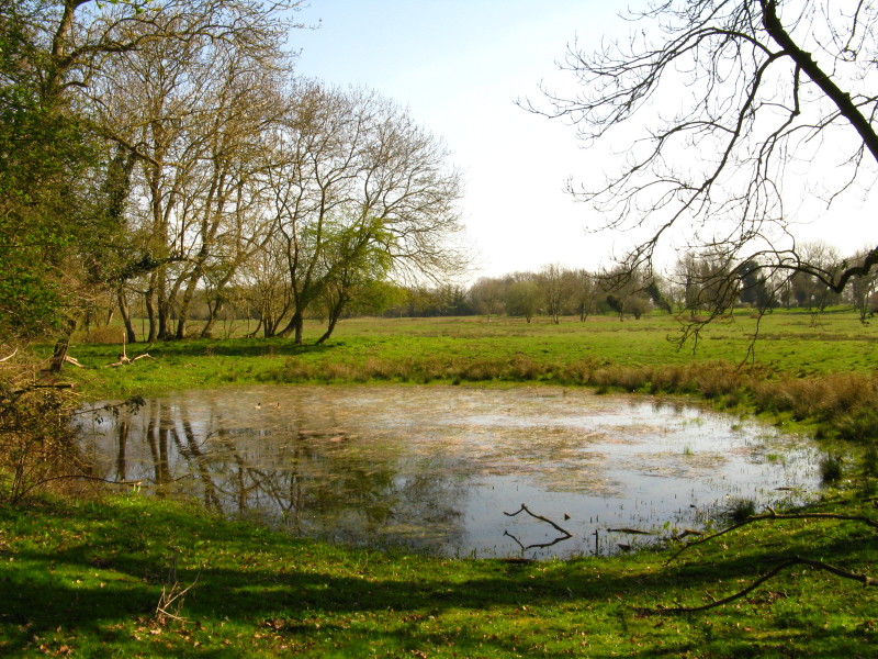
A pond north of Capp's Bush.
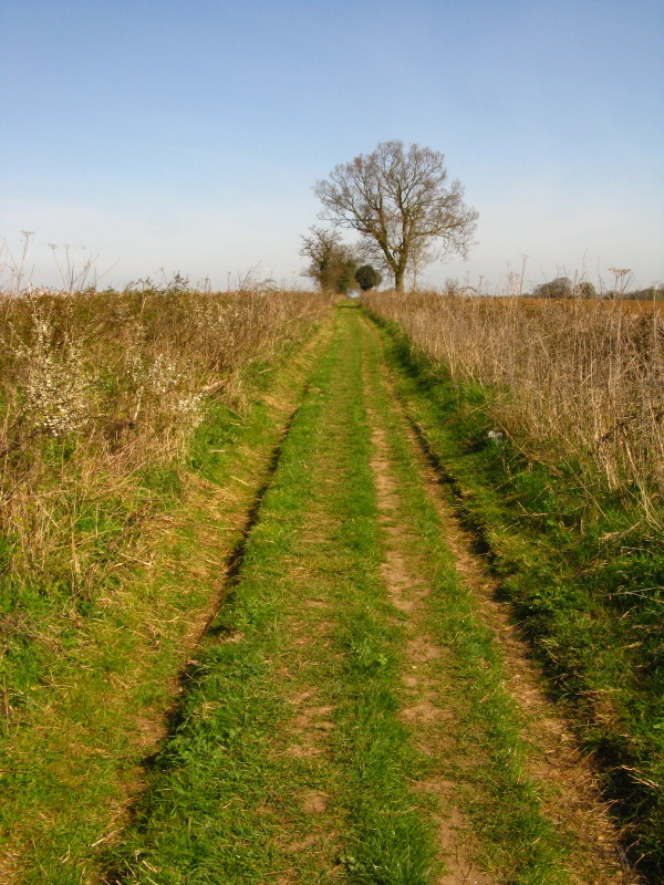
Another straight stretch of path running north to the B1108 - still not
quite on the Roman road route.
New public footpaths have been established in the fields alongside the
B1108 which makes this section far more pleasant than it would otherwise
be.
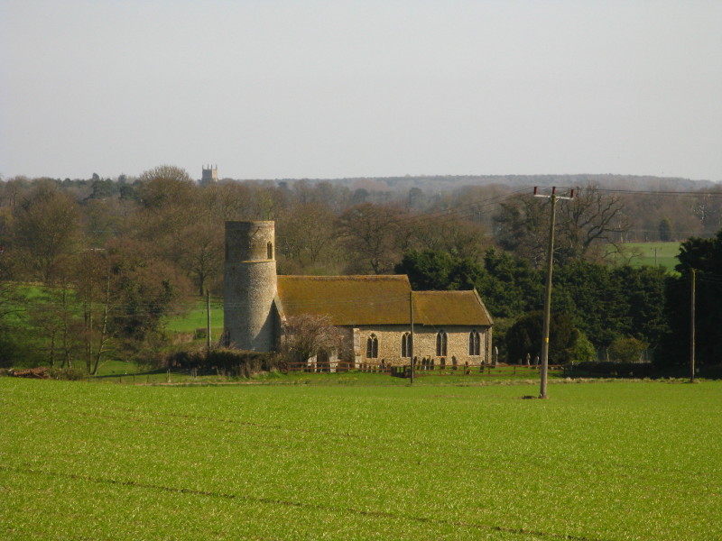
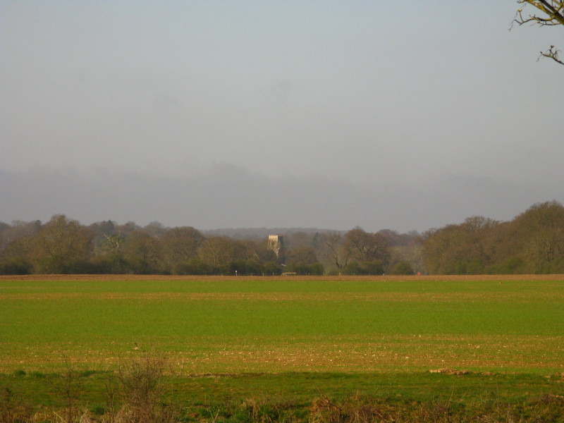
All Saints church, Threxton (with the tower of the church at Saham Toney
behind). The village of Threxton itself has all but disappeared. The
tower is Norman, with the windows on this south side dating from the
13th century.
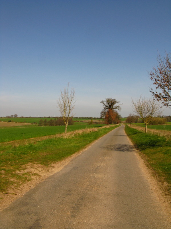
After passing through Little Cressingham, we have a long section of over
5 km of road-walking.
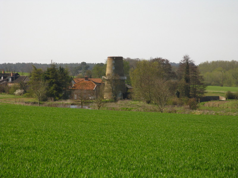
Looking back to the windmill at Little Cressingham. This was a
combination of windmill and watermill working together. The windmill was
built in 1821 - the Norfolk Windmills Trust has hopes to restore the
combined wind/watermill to working order.
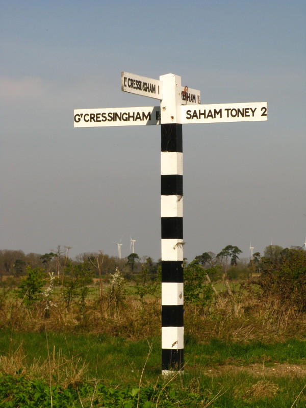
Making progress along the road-walk, with some of the modern windmills
on the North Pickenham airfield in the distance.
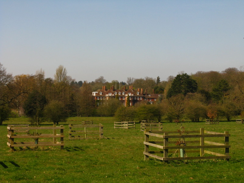
Pickenham Hall, extensively rebuilt in 1902-5 in the style of the Arts
and Crafts movement.
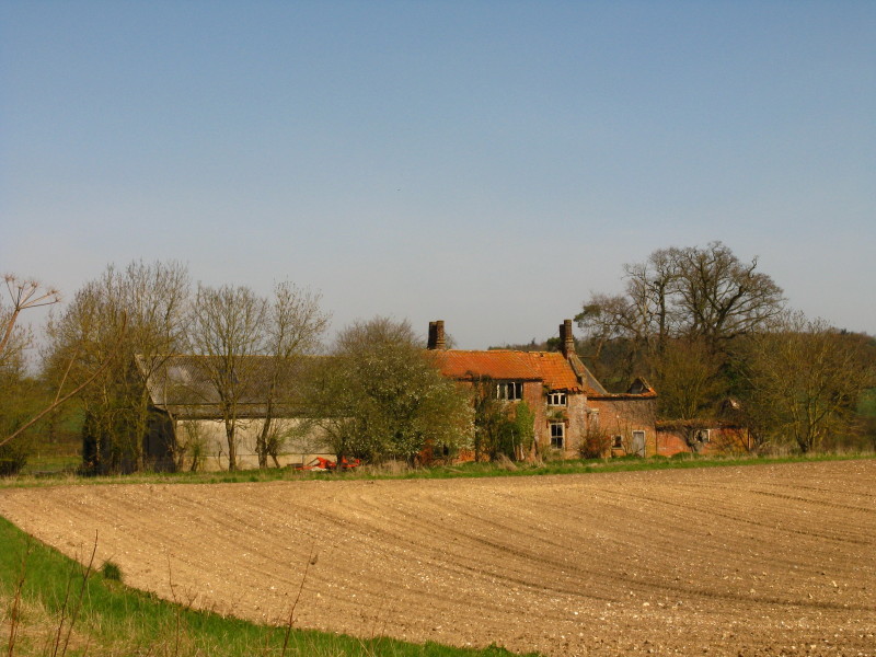
Ruined buildings at Hall Farm
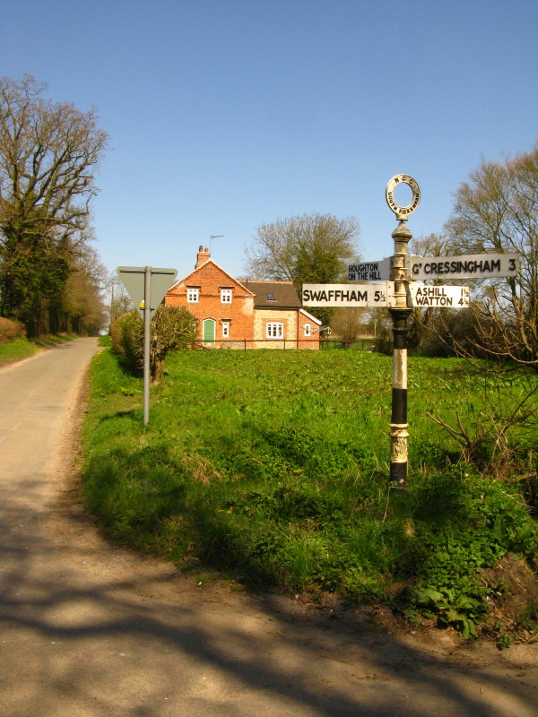
Making progress on the road-walk as we cross the road into the centre of
South Pickenham - oddly not on the signpost.
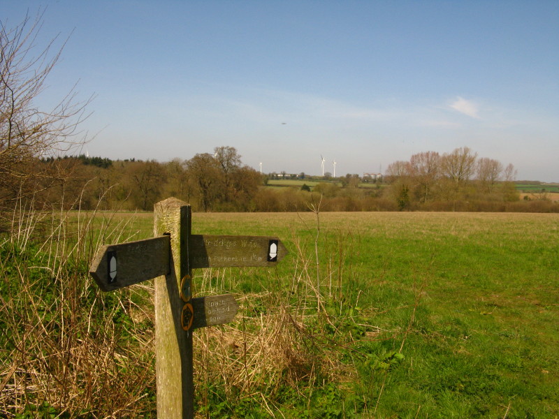
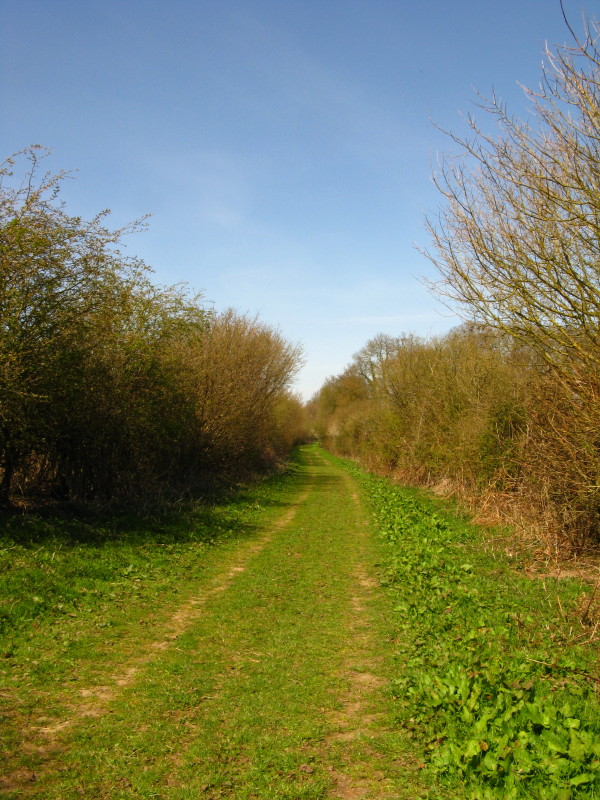
At last, we reach the point where the National Trail, still paralleling
the road, ducks behind the hedge.
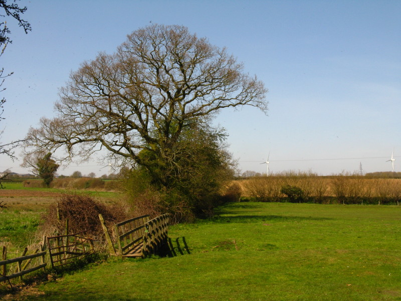
Crossing the meadows to the south of North Pickenham
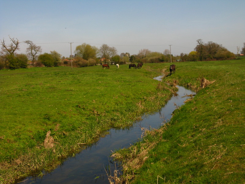
A tributary of the River Wissey
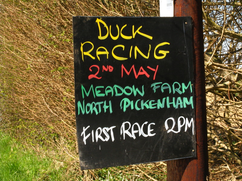
A couple of weeks early for the duck racing - shame!
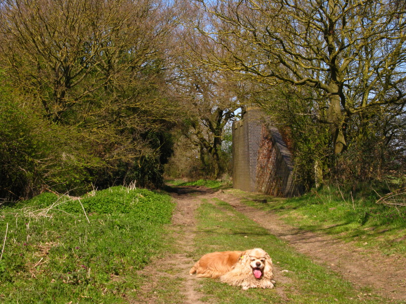
The home stretch, George. We are, at last, back on the course of the
Roman road, about to pass under the course of the Thetford to Swaffham
railway that we last saw in Stonebridge. To the right there is no sign
of the embankment at all, it having been cleared flat to make the field
bigger.
Procession Lane as we approach the A47
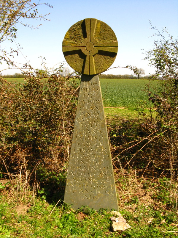
"The piety of every man and every woman's whispered prayer clasped in
the grain of wood and stone & in the grace of ancient air."
This is another of the Norfolk Songline stones, although in a rather different
style from the previous one.
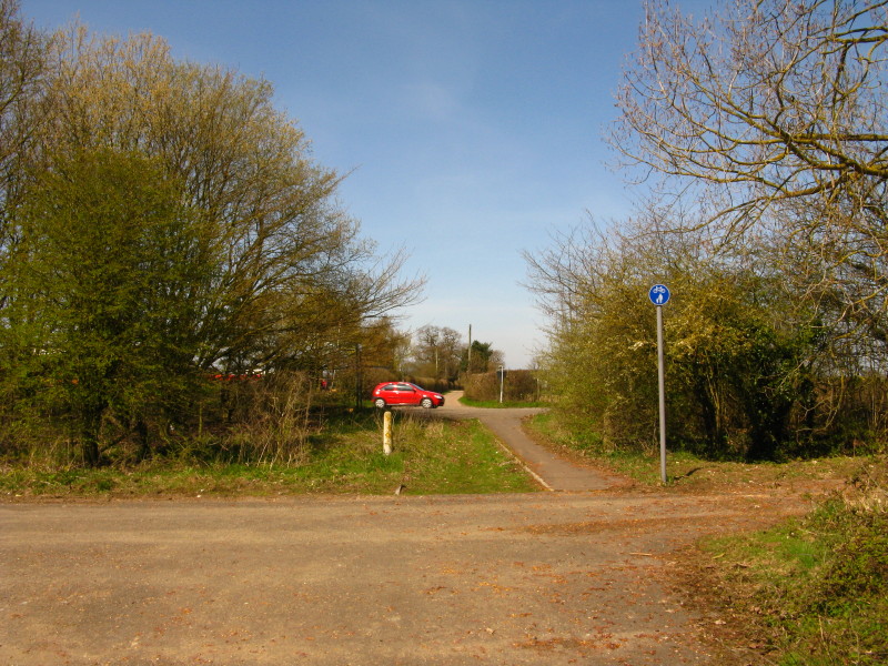
Approaching the crossing of the A47 and the end of today's walk.
Total 18.2 km in 4 hours 12 mins.
Despite the large amounts of road-walking, enough to command
interest and a lovely walk in the sunshine. We're almost half-way to the sea!
|


