Stour and Orwell Walk -
Levington Marina to Landguard Point, Felixstowe
10 October 2010
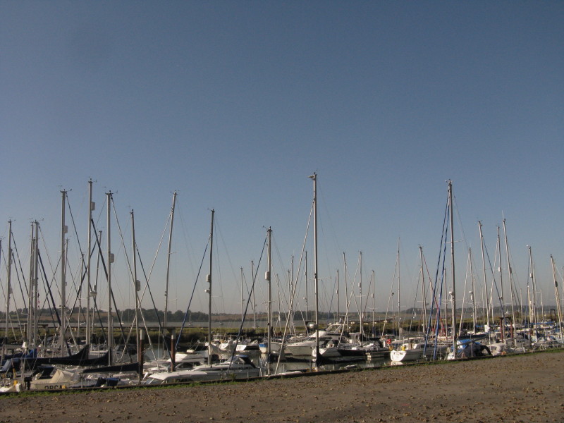
Some of the yachts at Levington Marina as we begin the final leg of this
walk
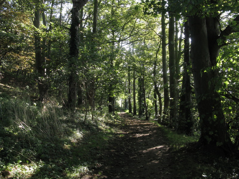
...which starts with a little bit of pleasant woodland walking as we
skirt the marina.
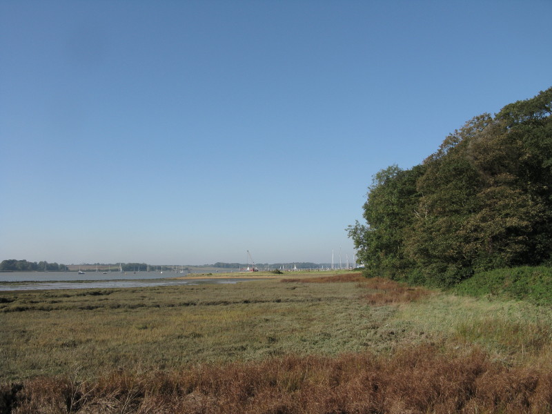
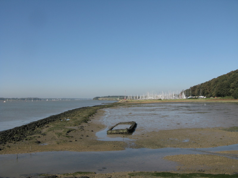
Looking back upstream past the marina
Loompit Lake seems to be a popular fishing spot; the Orwell is beyond
what looks to be a very narrow bit of land, and the cranes of Felixstowe
Docks are to be our almost constant companions on today's walk
Another look at Levington Marina
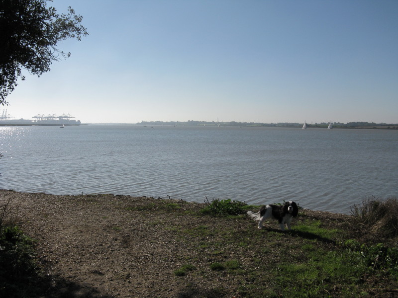
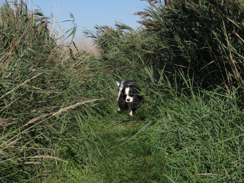
Ellie as we round the corner of Loompit Lake
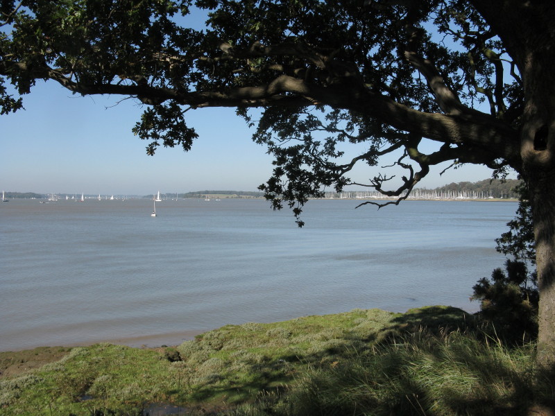
A pleasant spot at the top of some little cliffs with a bench to stop
for a drink
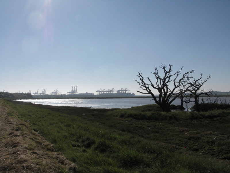
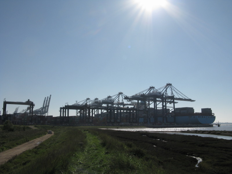
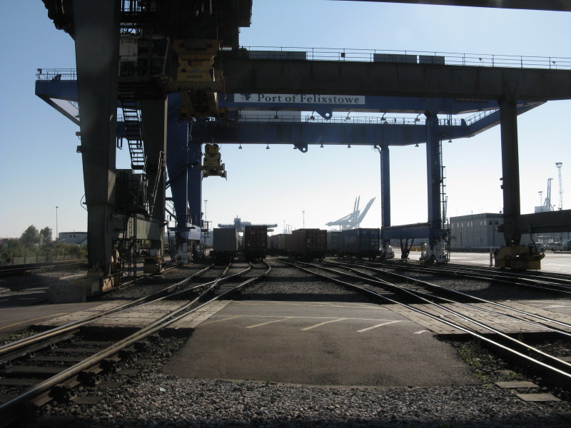
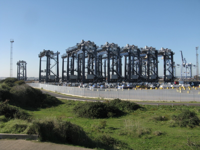
Rounding Trimley Marshes, the Docks grow nearer
Approaching Fagbury Point. The public footpath used to go straight on
(and indeed the Ordnance Survey still shows it as doing so) but with the
expansion of Felixstowe Docks some years ago, the marshes here have been
turned into a massive container park and our route turns left just
before the wall of containers
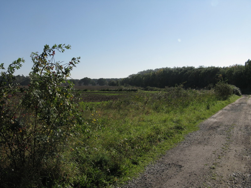
Around the "back" of the container park, the way has farmland to the
left and pleasant trees to the right, being remarkably effective in
concealing the tarmac and steel behind them.
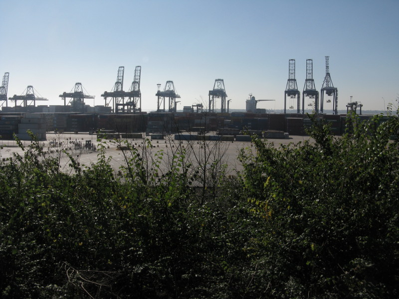
From the top of Fagbury Cliff, there is a brief view over the container
park and docks before we return to more woodland.
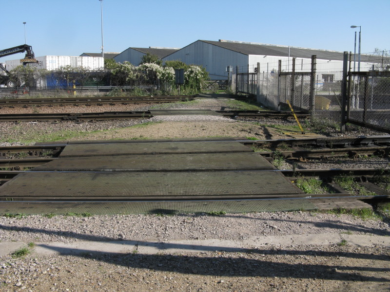
Then we cross the railway tracks as they emerge from the docks
Looking into the docks
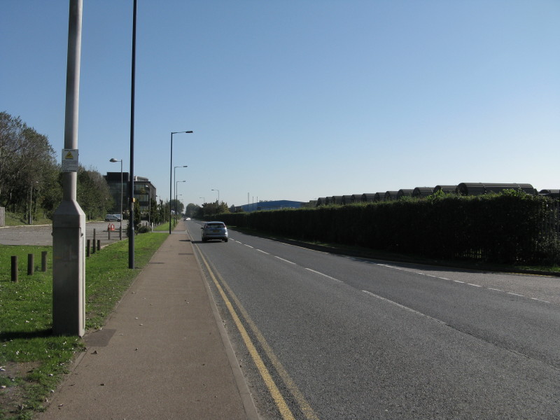
There is then a rather dull trudge along a straight road for almost two
kilometres...
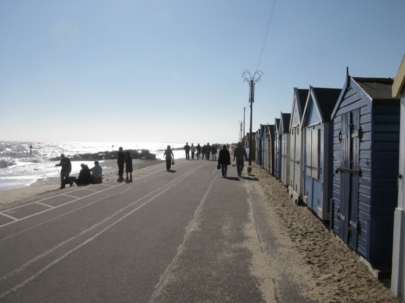
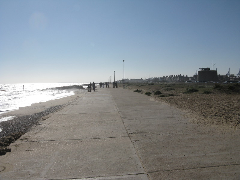
...eventually emerging at the sea front where the beach-huts look out
onto quite a high tide.
Where the path reaches the sea-front, the official route of the Stour
and Orwell Walk turns left and heads for Cobbolds Point, half-way along
the Felixstowe sea front to the River Deben. Why a walk named the Stour
& Orwell whose whole essence is a walk along the estuaries of the two
rivers should do so is very strange. Even if one allows that the
official routing is in the opposite direction, and Cobbolds Point is
fractionally less odd as a starting point, then when there is an
excellent and accessible point where the Stour and Orwell enter the sea,
then that is to be a far superior finish for my walk, and I heartily
recommend it.
I will eventually walk the Suffolk Coast Path starting from today's
finish point so I will cover the "missing" section of the official Stour
& Orwell Walk eventually, but in the meantime I believe my version is
better!
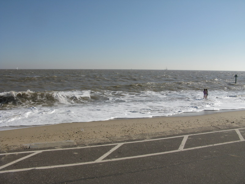
There is very little beach and the waves are reaching the promenade.
A Martello Tower looks out across the prom, which then disappears and
pushes the pedestrian onto the beach proper, including some wave dodging
as the waves were reaching the inaccessible sea wall
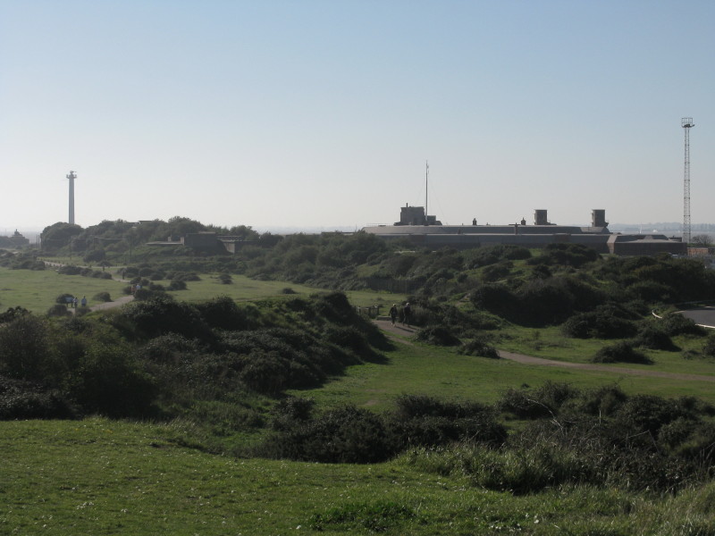
Then we emerged onto Landguard Nature Reserve which is more open with
this bit of green between the beach and the docks and Landguard Fort,
ahead.
Our last bit of the docks to circumvent, with hints of the river to be
seen again at last between the cranes
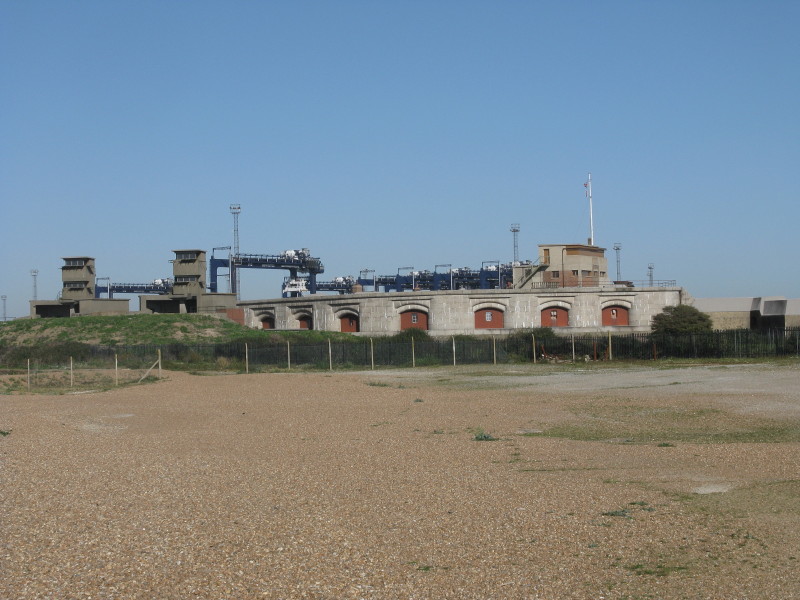
On the far side of Landguard Fort
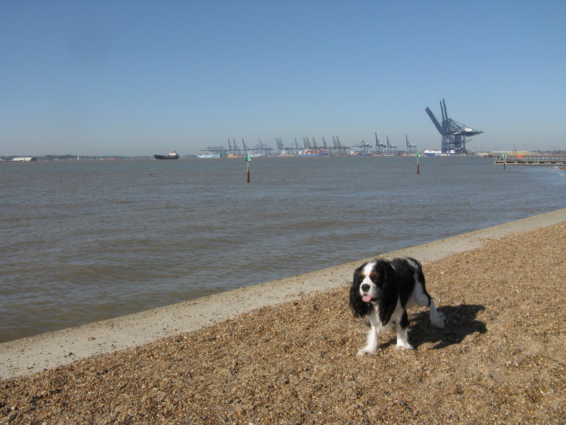
Ellie as we reach the Orwell again below the docks
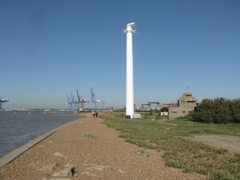
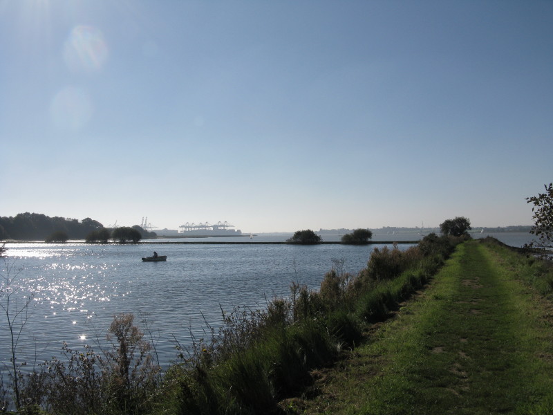
Radar for Harwich Harbour with some 20th-century military defences
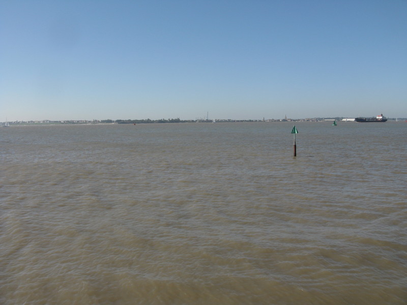
Looking across Harwich Harbour to Shotley
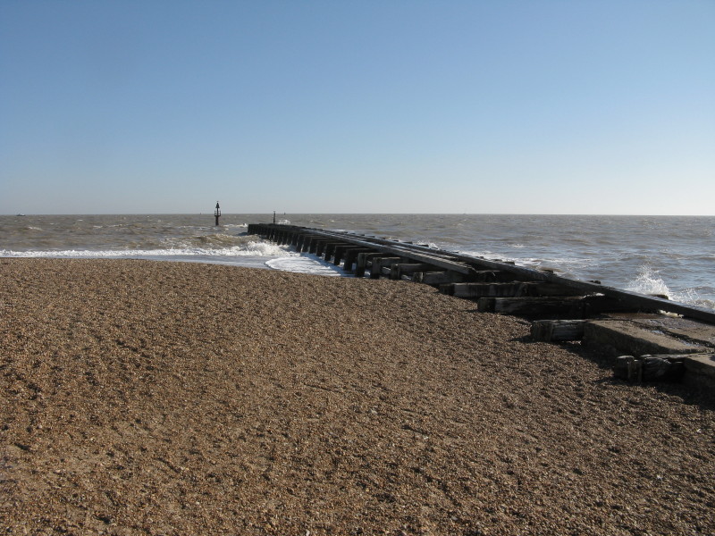
Landguard Point, where the Orwell and Stour meet the North Sea. The end
of the Stour & Orwell Walk (or at least, my alternative and much more
satisfactory finish). It was quite windy but the opportunity to look out
to sea and up the harbour of the two rivers was an attractive and very
pleasing location.
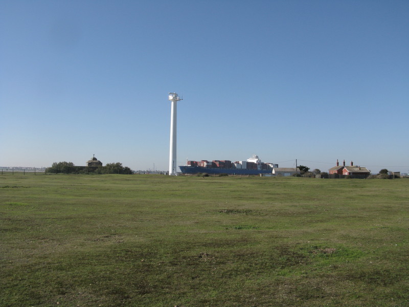
Strolling back to the car park at Landguard Fort, the modestly sized
(only 38 000-tonne) HS Chopin leaves the docks on her way to Antwerp
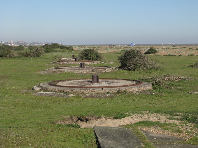
These four plinths held practice 64-pounder RML guns during the
Victorian period
So, the end of another multi-stage walk, and it has been an enjoyable
one - definitely recommended. I'm not sure there is quite enough
interest to fill full-day walks, but as I've done it in 2-3 hour walks,
it works very well.
Total 13.2 km in 3 hours 14 mins (12.3 km progress along the Stour & Orwell Walk)
 
|