Stour Valley Path: Newmarket Racecourse to Little Bradley
23 October 2010
Another weekend, another long distance path started,
though I have at least finished the
Stour & Orwell Walk
recently. So what better than to start further upstream and begin the
Stour Valley Path, which after a cross-country ramble finds the River
Stour near its source and follows the river to Cattawade near
Manningtree from where the Stour & Orwell Walk continues the route to
the sea. However, I didn't fancy the first couple of miles of the
official route, which starts in the centre of Newmarket and walks along
the verge of the road towards Cambridge for two miles, so I started at
the racecourse where the route leaves the road.
The first section of the walk is along the Devil's Dyke. The bank and
ditch run in a straight line for 12 km from the edge of the Fens to
Woodditton. It was built in the 6th and 7th centuries
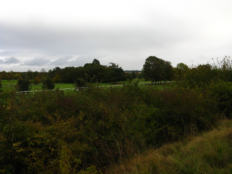
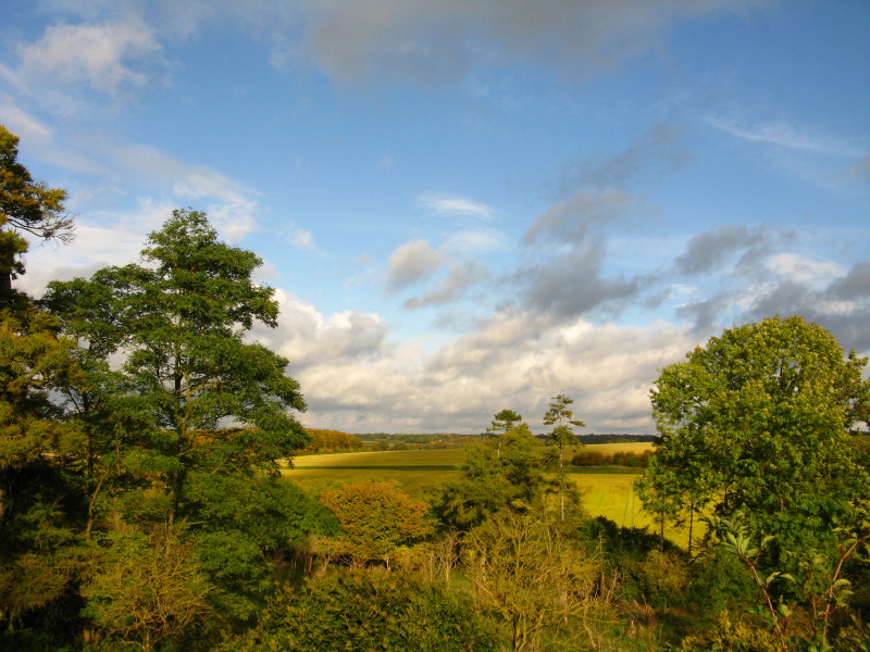
Looking from the dyke across some of the many gallops that surround
Newmarket to a golf course
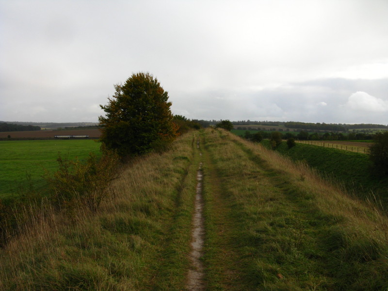
A section of the Dyke which shows well the height from the bottom of the
ditch to the top of the bank, which is over 10 metres in places. In the
distance a train to Cambridge is about to cut across the line of the
Dyke.
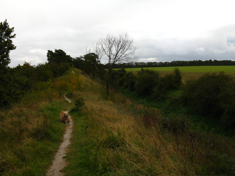
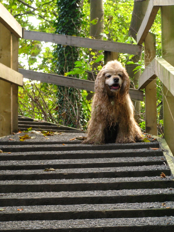
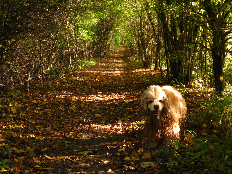
George on a wooded section of the Dyke
It rained to start the walk, and the compressed pulverised chalk was
extremely slippery to walk on. Here a new surface has been provided to
help us regain the top of the Dyke after crossing a road which cuts
through it.
After the rain, the sunshine is very welcome.
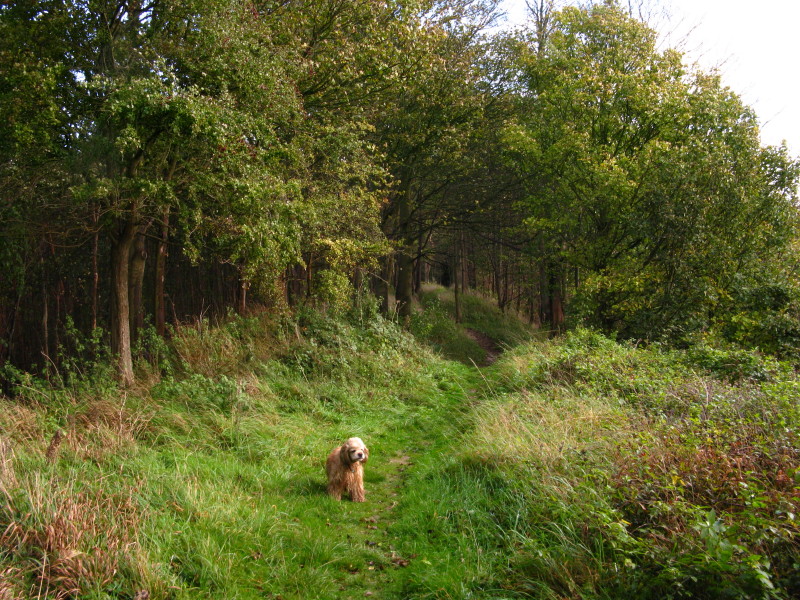
There is quite a mixture of woodland and more open sections of the Dyke.
We reach the point where the Icknield Way crosses the Dyke, and this is
where we leave the Anglo-Saxon earthworks
Our route heads along the edge of fields to the village of Stretchworth
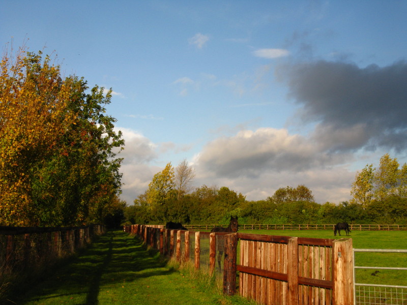
On the other side of Stretchworth, there are more horses
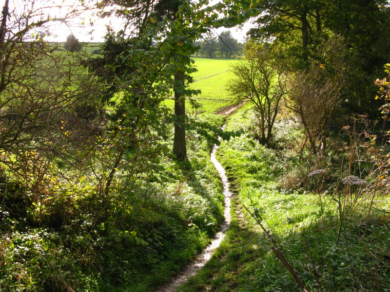
The Stour Valley Path then follows the line of this ditch for four
kilometres, in almost complete isolation, initially here in open
fields...
...but mostly in this confined route, in places with headroom down to
only a metre.
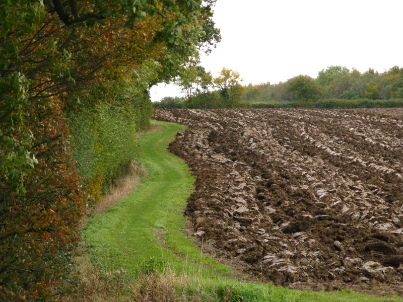
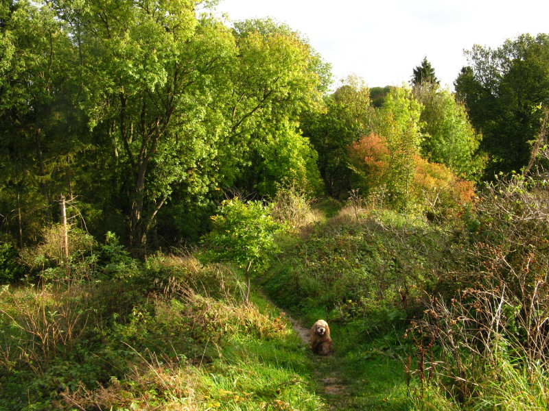
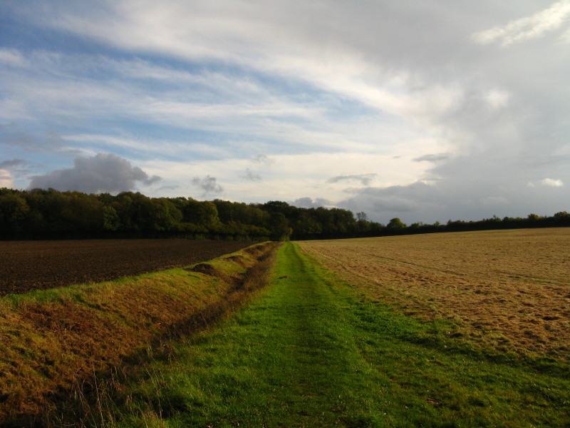
Eventually we emerge back onto field margins
After rounding Great Widgham Wood, we walk alongside this ditch with a
long series of weirs.
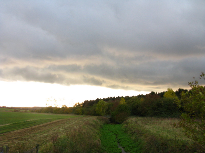
The weather is turning for the worse, and it now rains for most of the
rest of the walk. We've just crossed from Cambridgeshire into Suffolk.
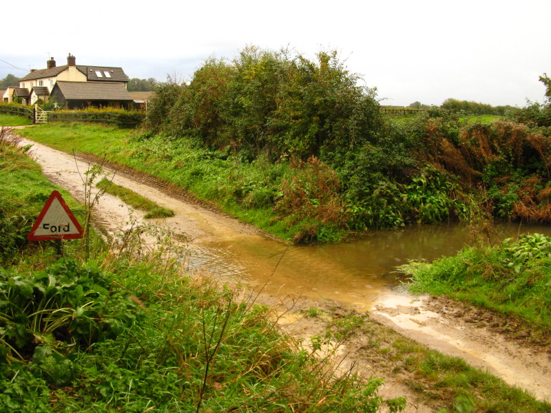
Our first encounter with the River Stour is at this ford
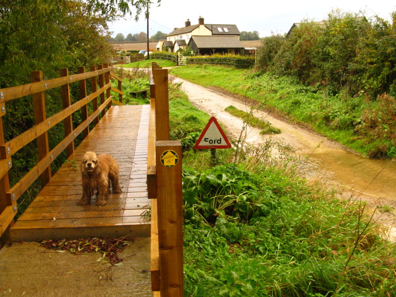
Which is also provided with a smart new bridge for pedestrians.
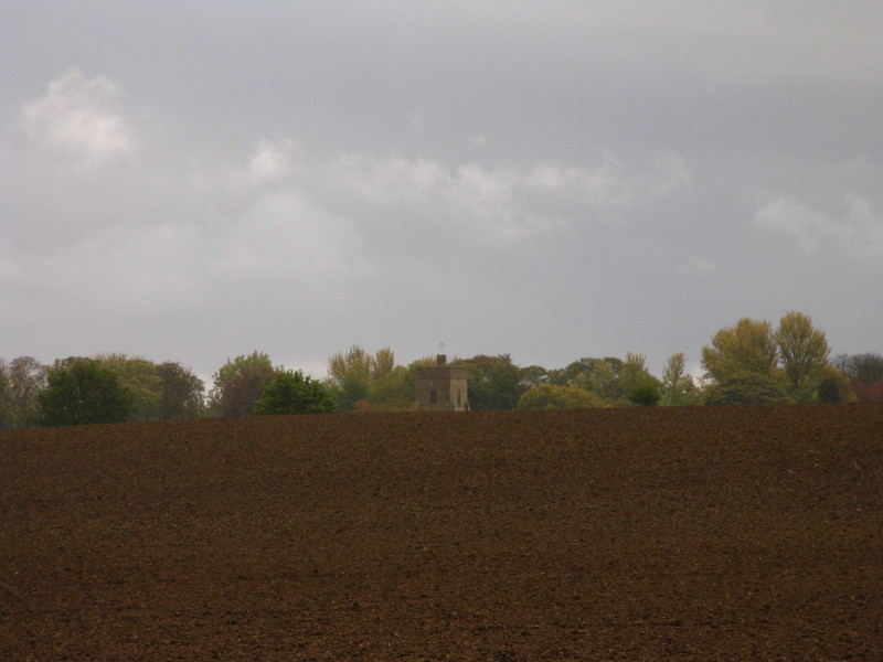
Looking across fields to the church of Great Bradley, the first
potential pick-up point for Lucy to meet us.
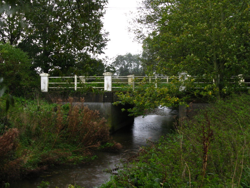
The first bridge over the Stour we've seen. Lucy wasn't ready yet, so we
continued on to Little Bradley
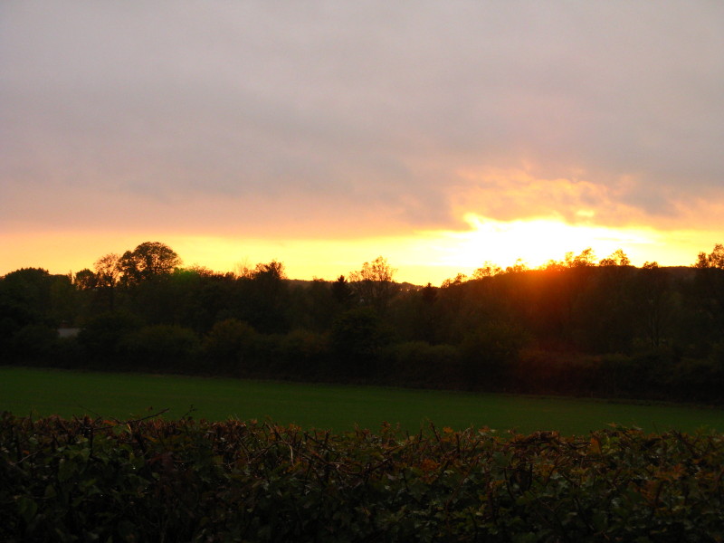
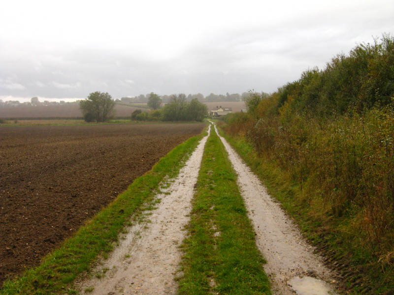
The rain has stopped and the sun makes a brief re-appearance as we make
our way across muddy fields which double the weight of my boots.
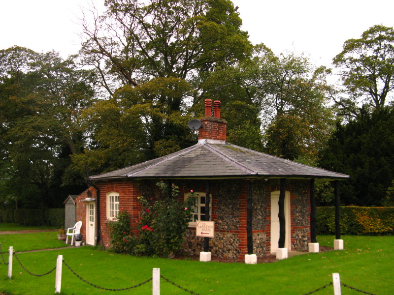
A gatehouse at the entrance to Little Bradley House
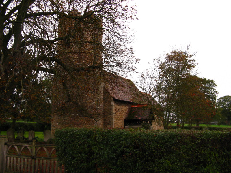
Little Bradley church has a circular tower with an octagonal top. This
was as far as we got today. Back tomorrow!
Total 14.3 km in 3 hours 29 mins.

|