Suffolk Coast Path: Landguard Point to Shingle Street
11 May 2013
The Suffolk Coast Path is a route that I've wanted to walk for a
while now, but never quite managed the logistics involved, particularly
the first section which involves a ferry only open in the summer months,
and which prevented starts to the walk in autumn 2011 and 2012. Being
through rural areas, there are no practical public transport options to
create one-way walks, so either a lift or a bicycle is needed. Today
Lucy kindly agreed to pick me up at the end after visiting a friend.
George at Languard Point, where the Rivers Stour and Orwell enter the
sea, and where the coast of Suffolk starts (unless one considers that
those two tidal rivers constitute the coast, in which case I
started at
Cattawade when I started the Stour and Orwell Walk).
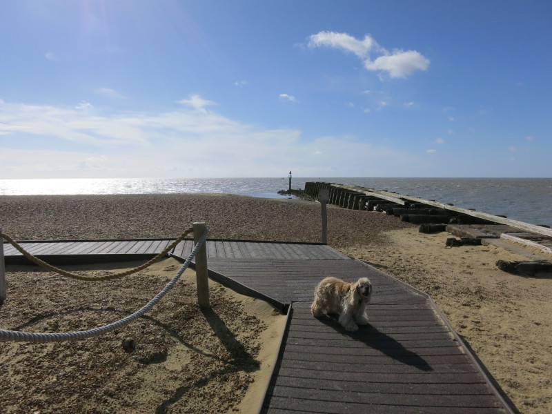
This board-walk and the rope fence are new since I was last here, and
clearly intended to reduce damage to parts of the nature reserve
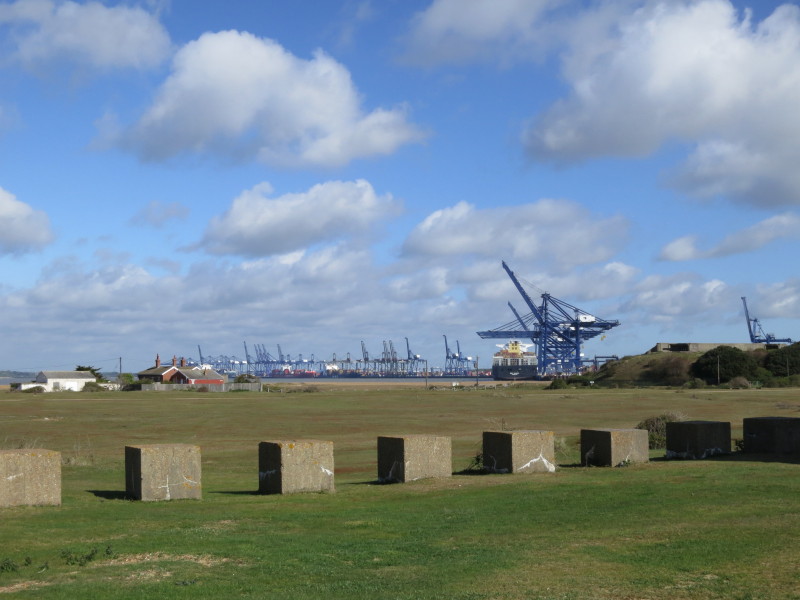
Looking past the concrete obstacles, placed here as part of World War II
defences, to the cranes of Felixstowe docks. On the right is part of the
WWII additions to Landguard Fort.
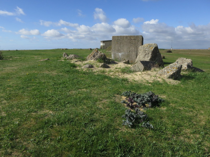
More ruined defensive works
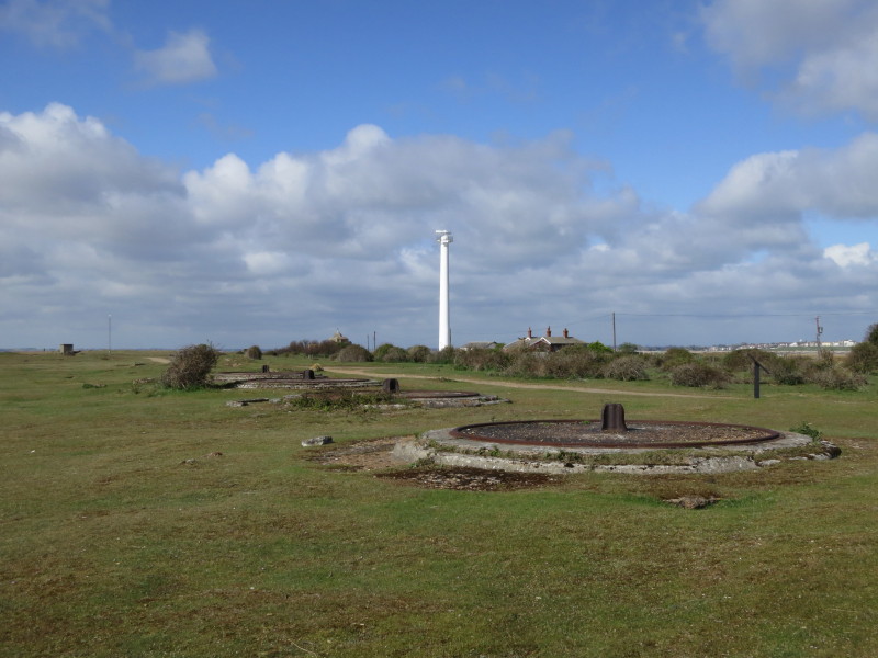
These four plinths held practice guns during the Victorian period. In
the background is the radar tower for the harbour
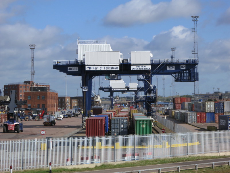
Three lines of containers on railway wagons are at the very end of the
line
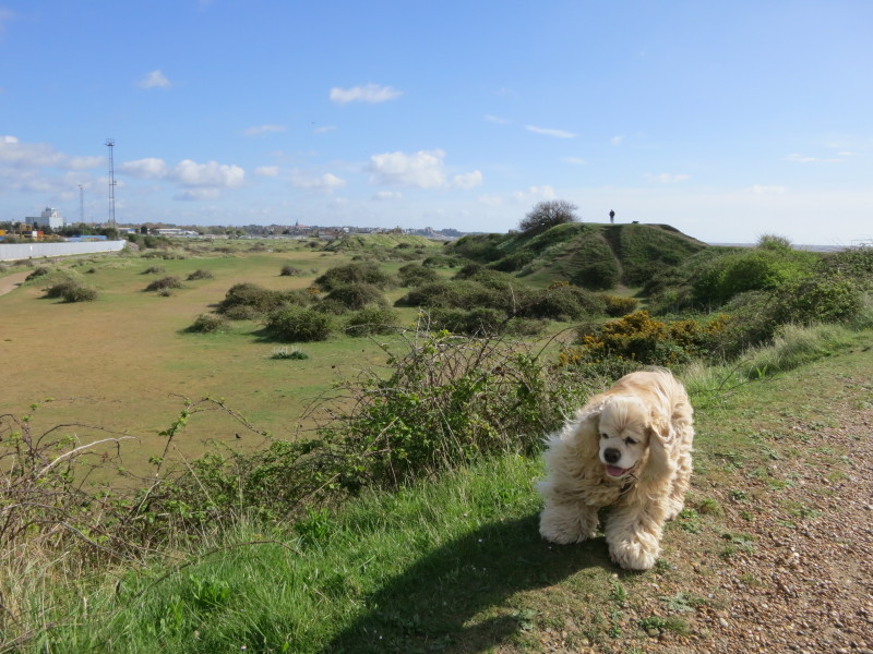
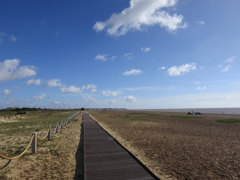
Having left the Nature Reserve behind, and now merely on Landguard
Common rather than the Nature Reserve, we are now free for George to
wander off-lead, with a pleasant undulating walk along the dune ridge
After leaving Landguard Common, there is a section along the beach which
may be impassable at high tide (when the road a bit inland can be used).
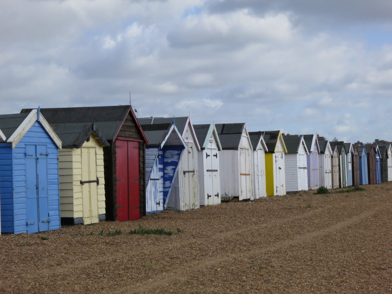
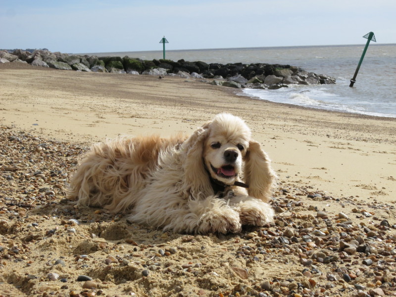
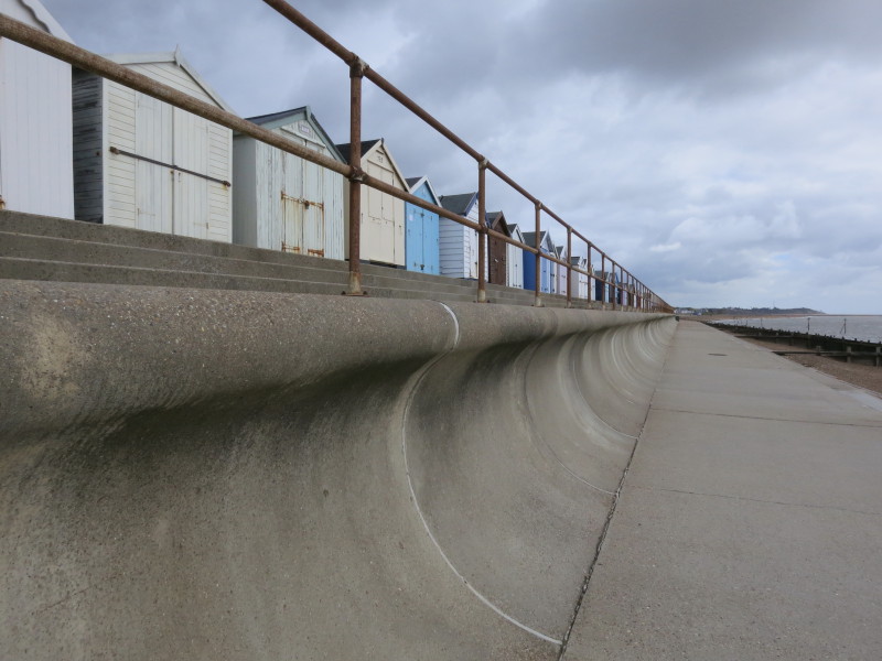
There are many, many beach huts along the front at Felixstowe
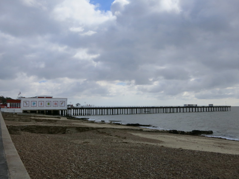
Approaching the pier, which is closed this early in the morning on a
windy and cool day. So far all the facilities have been closed,
including all the ice-cream kiosks.
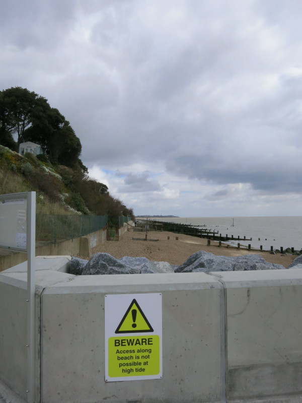
After passing the far end of the Promenade, a concrete access road
brings us to this point, where any further progress is again dependent
on the tide. The official route of the Suffolk Coast Path is up a road
and then down some steps a bit further on, but this seemed like a better
route as the tide permitted.
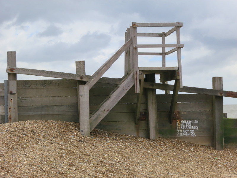
Steps over one of the groynes, and some contemplative graffiti
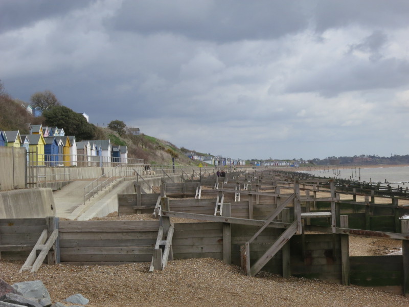
Groynes as far as the eye can see - plus lots more beach huts.
Having found a delicious ice-cream at what I think was the final kiosk
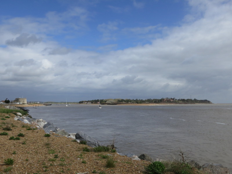
on the front, we have just rounded the corner after walking past the
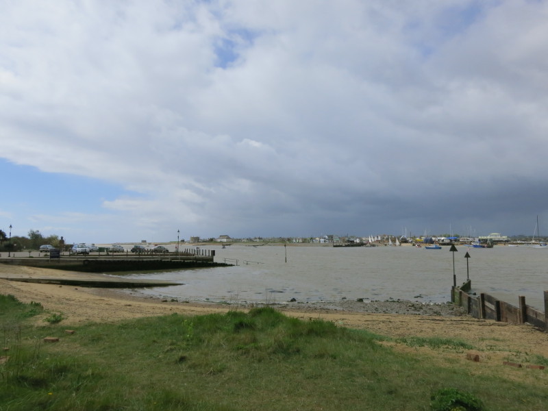
golf course, and are now looking across Woodbridge Haven, the mouth of
the River Deben, to what is unnamed on my maps but could perhaps
usefully be called Bawdsey Point. I've been to Bawdsey Quay a lot of
times, but can recall going to this side, Felixstowe Ferry, only once,
almost thirty years ago, and I don't think we came down the footpath to
see the river from this angle, so it was a very interesting and novel
perspective on a partially familiar area.
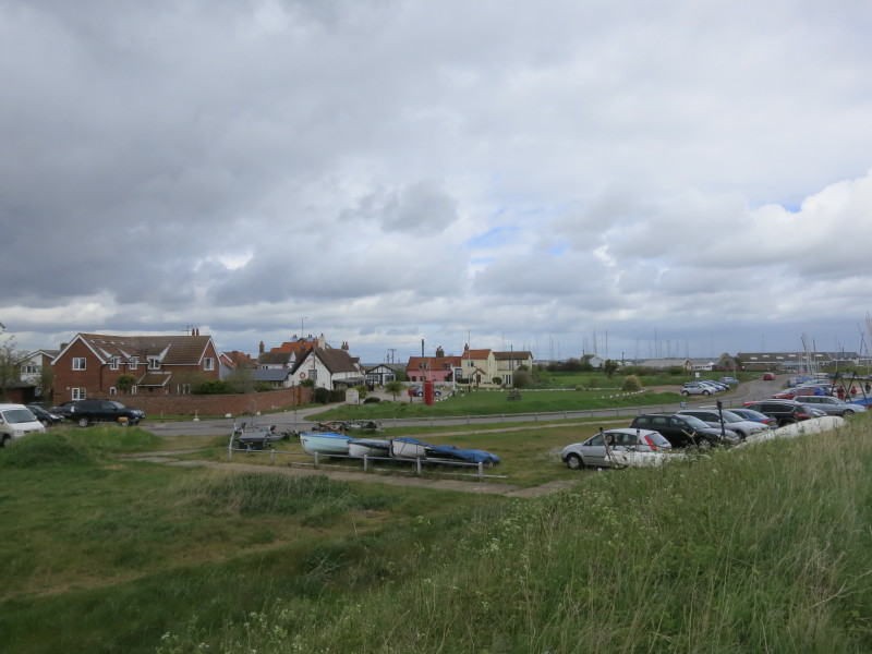
Some of the habitation at Felixstowe Ferry
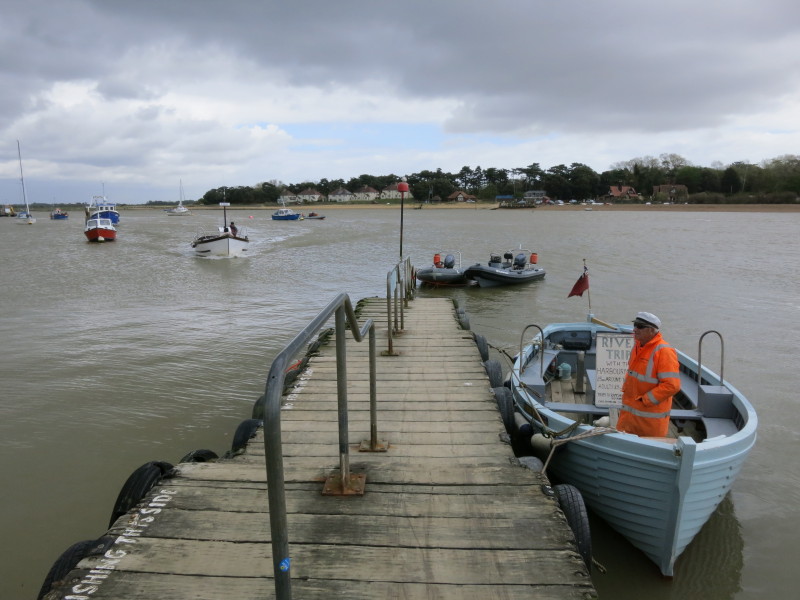
The harbour-master and his trip boat on the right, and powering in on
the left is the ferry which will take George and me across the river to
the Bawdsey side for the excellent value of two pounds. The ferry was on
the other side when I arrived, and I signalled my desire to cross by
waving a circular wooden paddle above my head until I detected movement
on the other side.
Safely on the Bawdsey side, a look back to Felixstowe Ferry across the
River Deben. The original and potentially future route of the Suffolk
Coast Path was around the coast from here, past Bawdsey Manor and under
Bawdsey Cliff, but coastal erosion means that the route currently heads
along the road from Bawdsey Quay to the East Lane car park - not quite
as exciting a route, but somewhat easier underfoot to walk on tarmac
than on shingle.
A look upriver before the road turns inland. That dark sky signals rain,
which soon arrived, and it rained for much of my walk along the road to
Bawdsey.
As we reach Bawdsey Hall, the rain has stopped, and bits of blue sky are
reappearing, and there was no more rain this morning. I was pleased that
my own attempt to forecast the weather had proved significantly more
accurate than that of the Met Office or BBC.
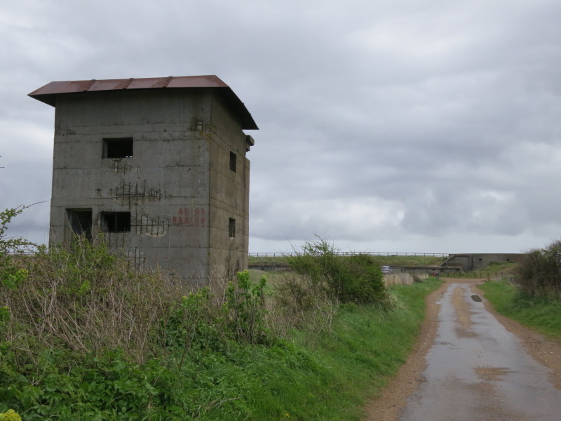
Approaching the East Lane car park, where the route reaches the sea once
more - the bank in the distance is the sea-wall. This tower from WWII
was used by soldiers trying to spot German aeroplanes: they would signal
to those in the gun battery in the distance who would fire on the
planes.
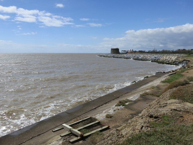
Above the gun battery, the sea is trying hard to breach the coastal
defences, which have recently had to be strengthened, with significant
works near the Martello tower completed in 2009 at a cost of £3.06m,
after 17 metres of land was lost to erosion in just four years, but the
beach where I am here a little north of those works has virtually
disappeared since, and this section of the sea wall must now be
vulnerable
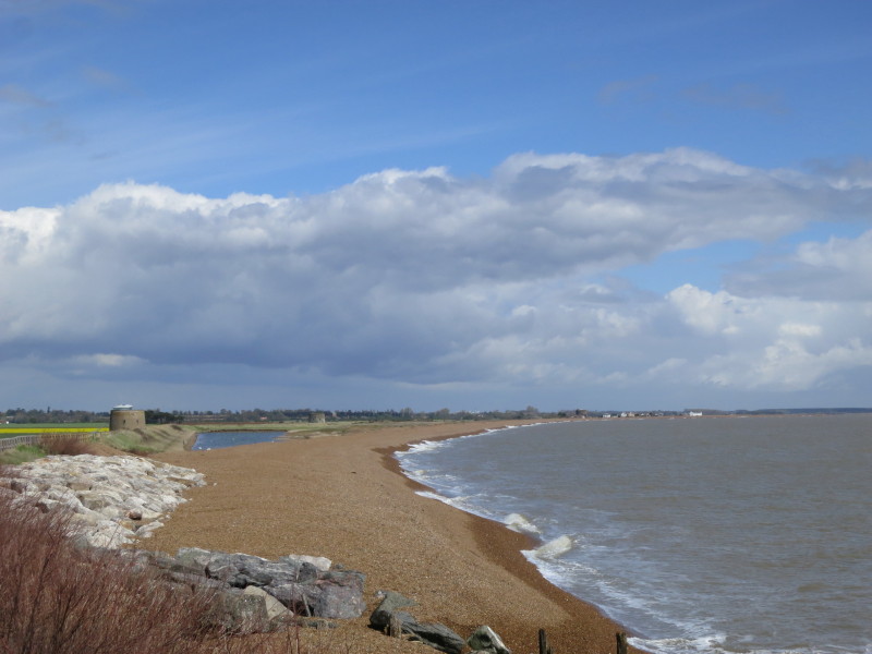
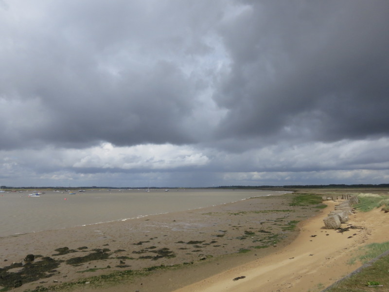
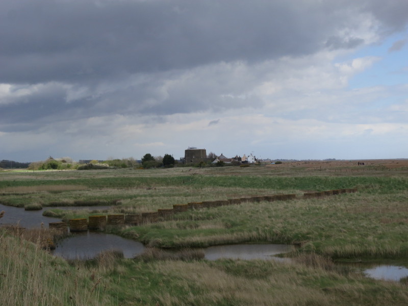
Looking north, there is plenty of shingle there for the moment, but
these shingle beaches can change very rapidly with winter storms. Our
route lies along the sea wall past three more Martello towers to the
white cottages at Shingle Street in the distance on the coast.
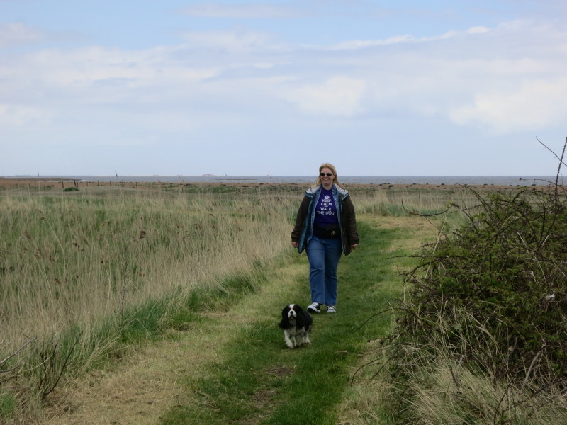
And what's this! Lucy and Ellie come to meet George and me.
The four of us continue along the slightly inland sea-wall, with WWII
coastal defences between the sea-wall and the shingle beach
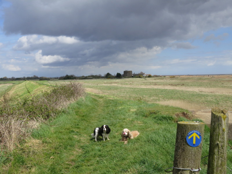
Getting close to the Martello tower at Shingle Street. Lucy had parked
the car near there, and it was then a trip to Felixstowe to pick up the
other car and then home. A very enjoyable walk (despite the short period
of rain), and I look forward to the next leg.
Total 16.9 km in 4 hours 3 mins (making 15.9 km progress along the Suffolk Coast
Path)


|