Suffolk Coast Path: Shingle Street to Chillesford
15 June 2013
So begins my second walk along the Suffolk Coast Path. Although it
starts by the sea at Shingle Street, the route is largely inland,
diverted by the large estuary of the River Alde, today's walk being
first along the River Ore and the Butley River, and then across farmland
to Chillesford.
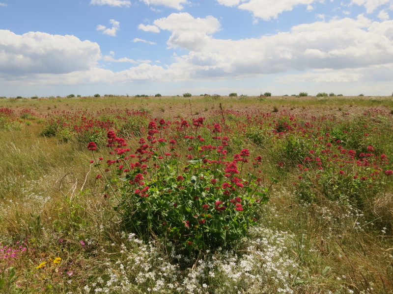
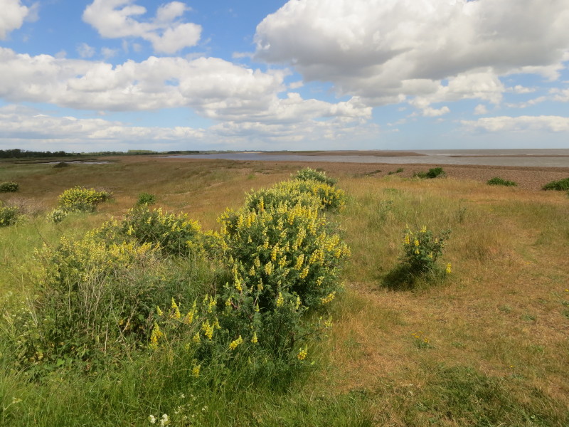
I'm afraid I've no idea what any of these plants are, but it makes for a
beautiful show of this vegetation clinging to the shingle.
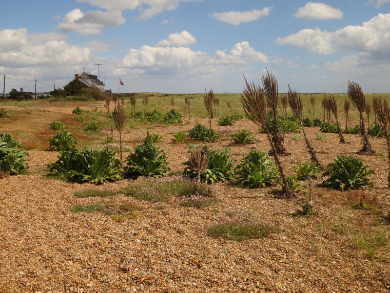
Continuing the walk along the shingle
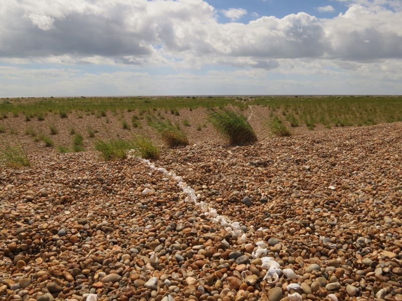
Someone has produced a long line of white shells which leads across the
shingle towards the sea
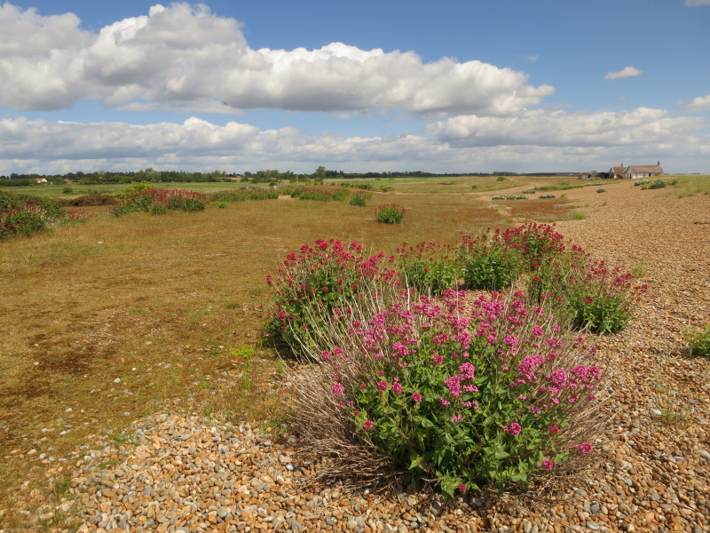
Our route lies ahead, along the back of the shingle, eventually joining
the sea wall
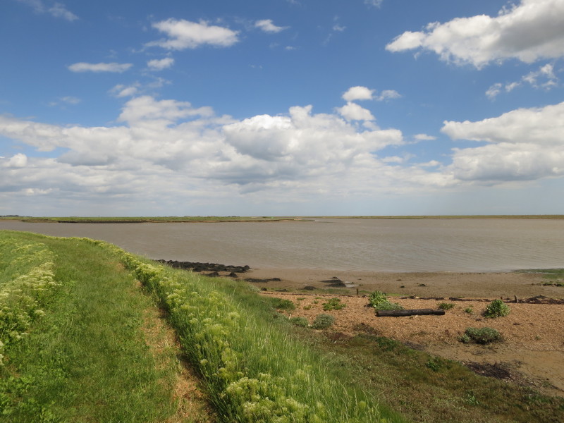
Ahead is the mouth of the River Ore, also known as Orford Haven
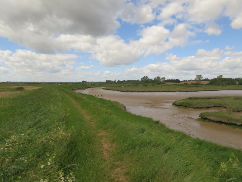
Our route lies along this tidal tributary of the River Ore to reach the
bridge on the road from Hollesley, and then back again on the other bank
Returning towards the River Ore
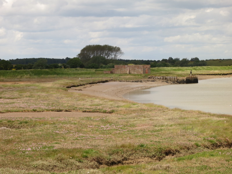
Where our little tributary enters the River Ore

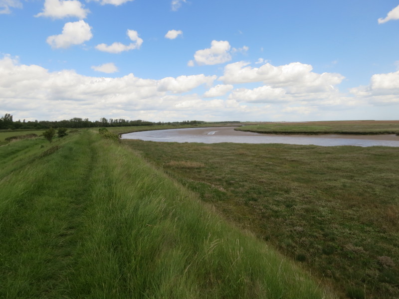
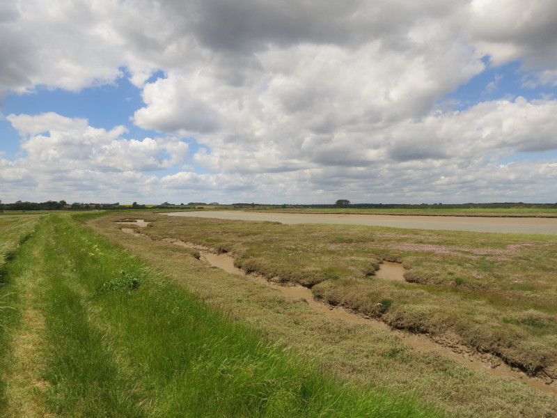
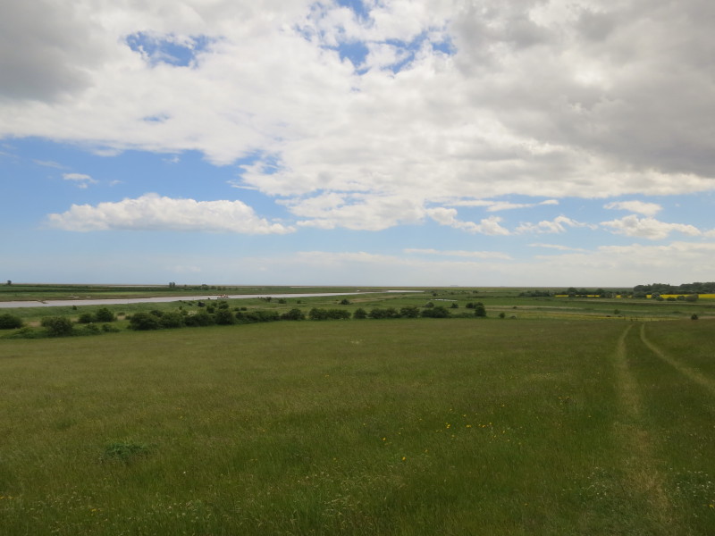
The views across the vegetated marshes and across the river to the long
shingle spit are flat but fascinating
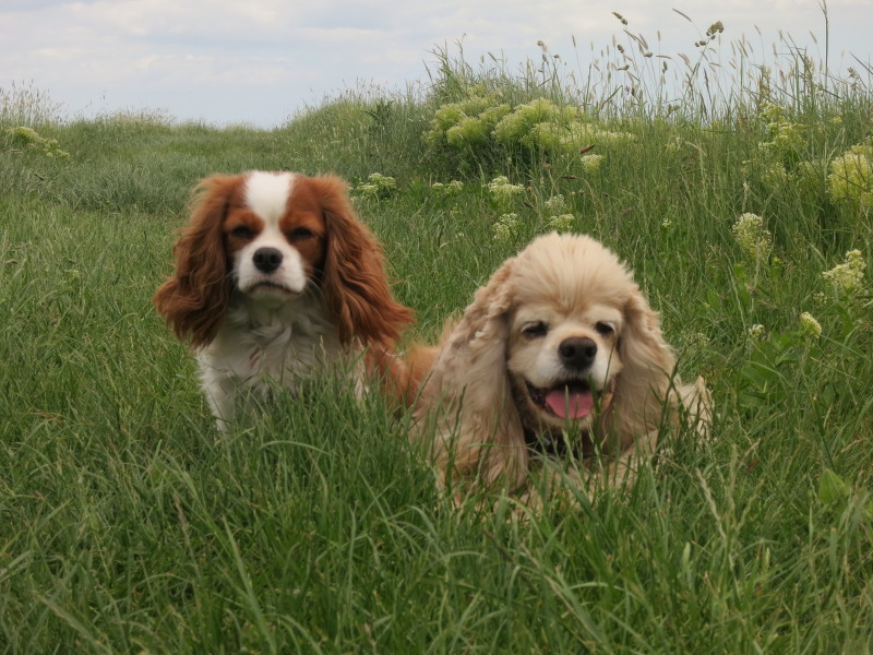
Lottie and George are just enjoying the walk
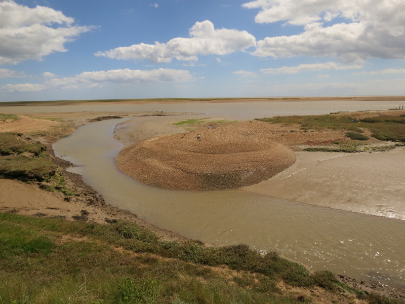
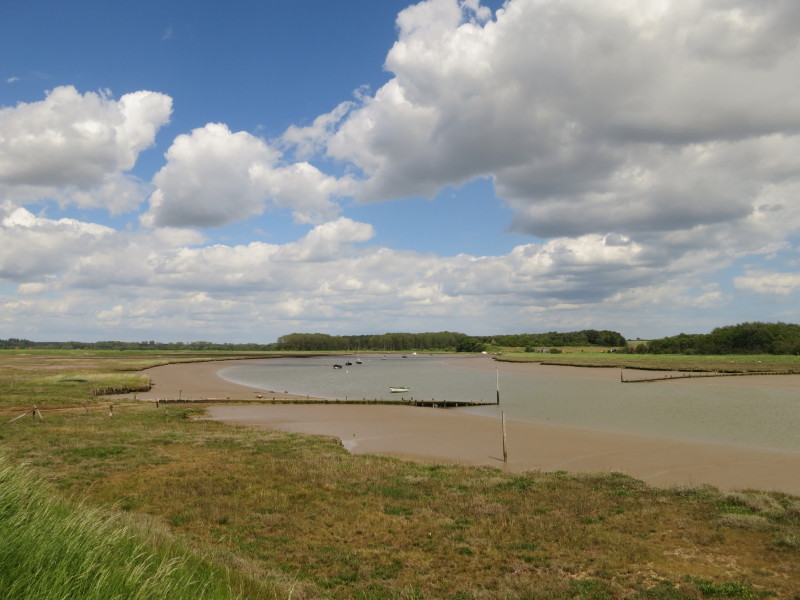
Here the two routes of the River Ore rejoin having been split by the
bird reserve of Havergate Island
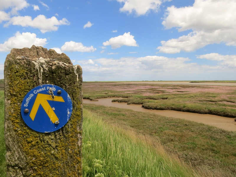
The many intricate muddy channels through the marshes are beautifully
contrasted with the pink flowers
Leaving the River Ore behind, we head up Butley River
A lone figure stands at Boyton Dock
A bit further upstream are the twin jetties for the Butley Ferry.
Although nominally open today, there was no sign of a boat or an
operator, but fortunately our route stays on this side of the river.
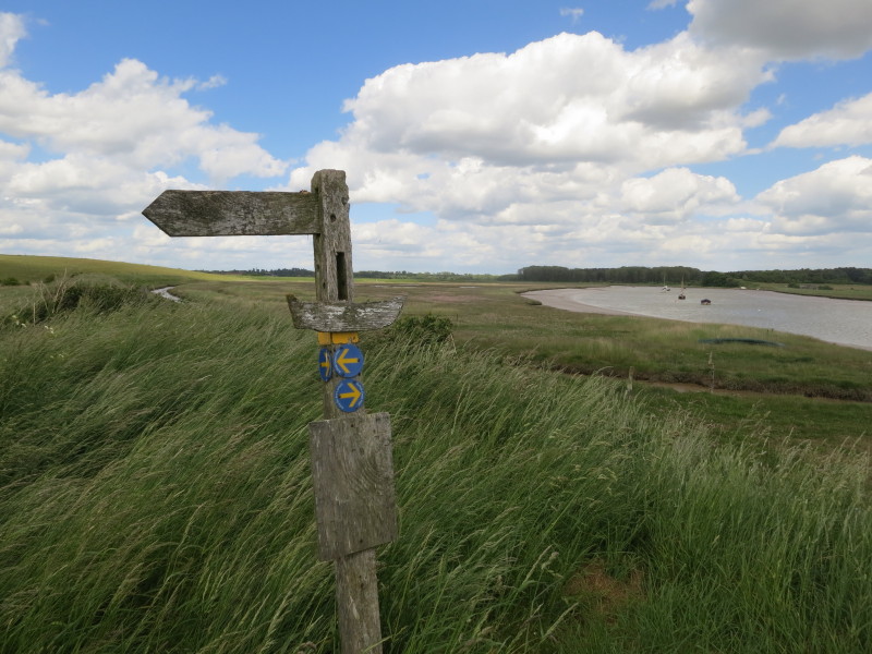
At the ferry, this elegantly decorated signpost shows us that the
Suffolk Coast Path turns left, though the Orford Loop does cross the
river here.
Below sea-level, we head for the zero-metre contour
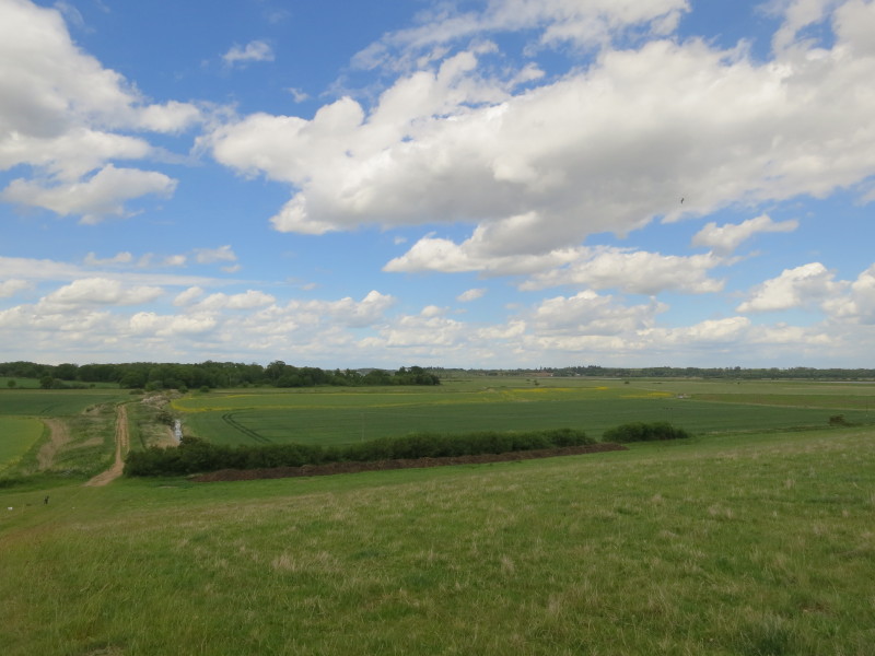
That is rapidly followed by the dizzy heights of almost 15 metres above
sea-level on Burrow Hill. Here we look back along the Butley River to
the sea
Ahead our route lies across more below sea-level farmland
At Butley Low Corner, the tarmac of the road is just discernable under
the sand
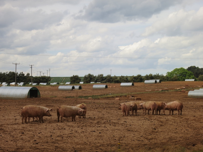
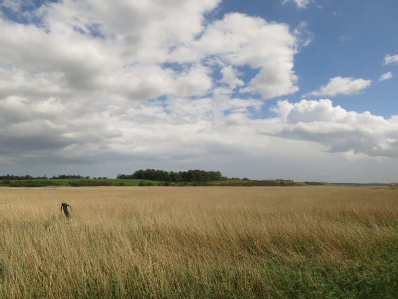
Fields of pigs accompany us for a fair bit of the way to Butley Mills
From Butley Mills, a look across the reeds of the upper waters of the
Butley River to the higher land of Chillesford beyond
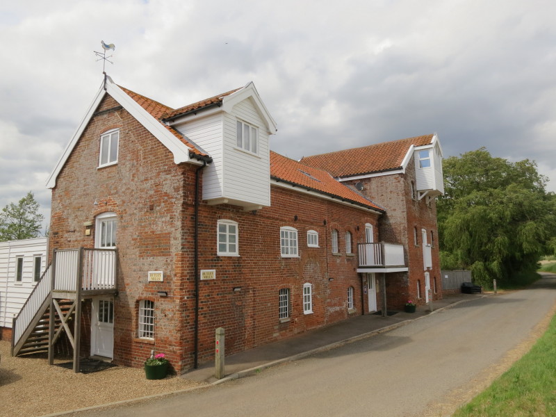
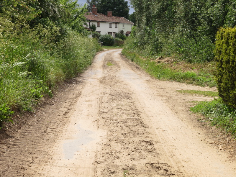
Butley Mills, now available as holiday lets
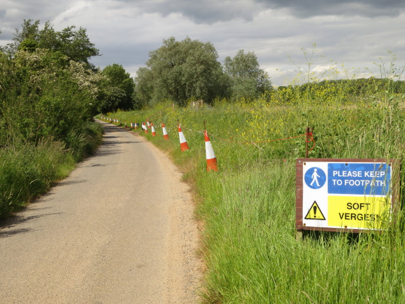
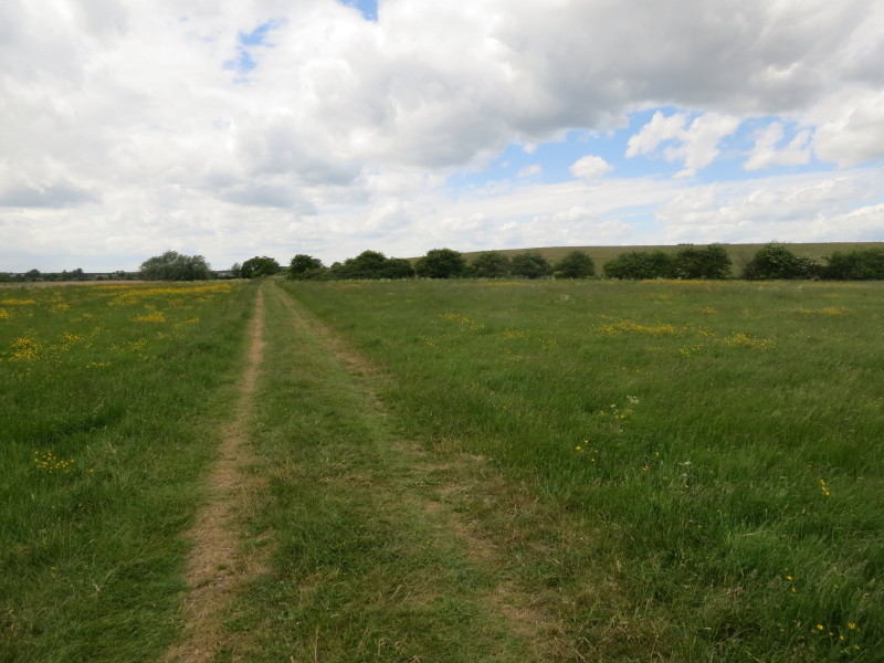
The remainder of the walk to Chillesford is along a quiet lane. Quite
what the person who put up this sign was thinking is unclear as there is
no footpath.
A slightly desolate but beautiful walk as far as Butley Ferry, after which
slightly less interesting except around Butley Mills - a very pleasant walk.
Total 13.8 km in 3 hours 33 mins

|