Suffolk Coast Path 5: Dunwich to Southwold
17 August 2013
This week's trip to the Suffolk Coast Path started with a drive to
Southwold, where I left the car and then cycled to Dunwich, along the
old cycle track to Walberswick then a quiet late, then an interesting
track across heath and woodland which was so dry that in places it was
like cycling in a sandpit which made for tricky and unstable going, then
back to roads into Dunwich, en route passing quite a few other cyclists.
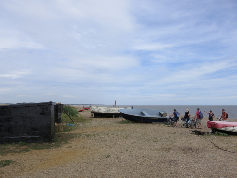
At the beach at Dunwich, where I padlocked my bike and had some lunch,
before setting off on foot to return to Southwold.
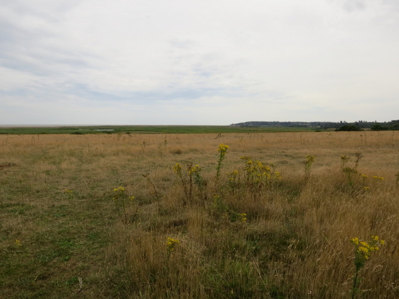
The first section of the walk was behind Dingle Marshes nature reserve.
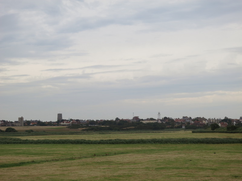
In the distance looking back is Dunwich...
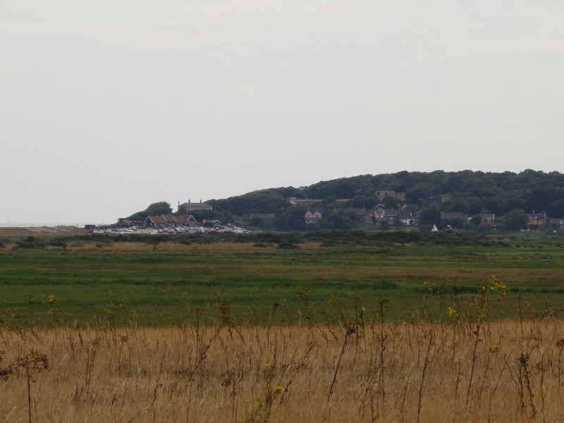
...seen here a bit closer, with the beach car park on the left with the
low hill rising behind with the remains of the friary
The way continued across marshes lying just behind the shingle beach
which runs across this photo
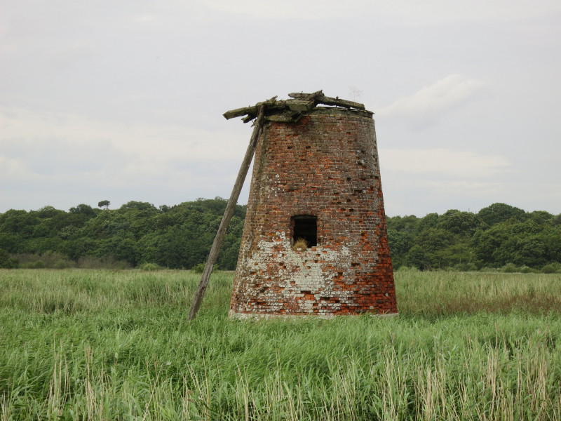
The remains of an old windpump, the effort to drain the marshes long
given up and the area returned to nature, a nature that will turn part
of this area to sea-bed in the next century
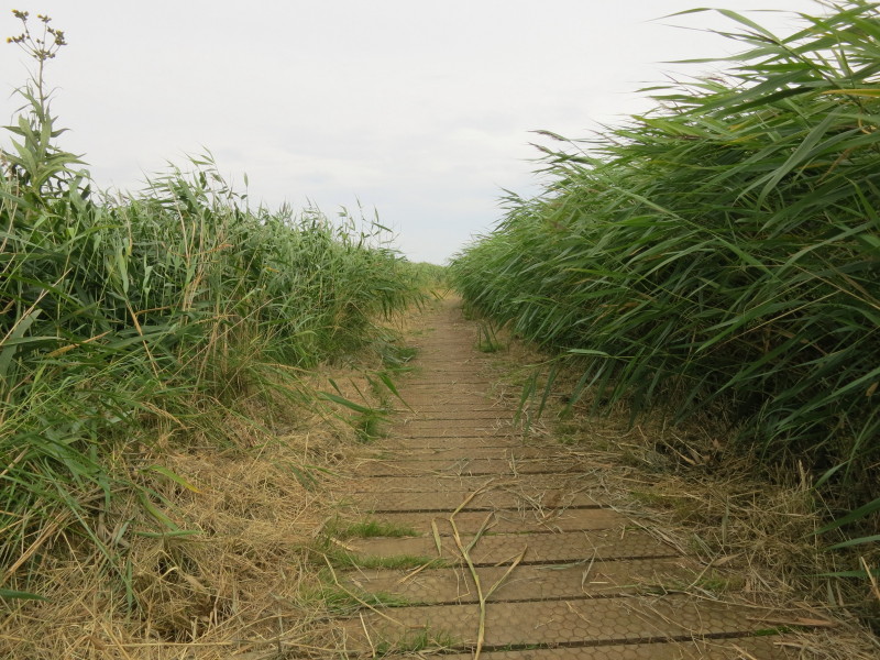
The way across the marshes is well maintained
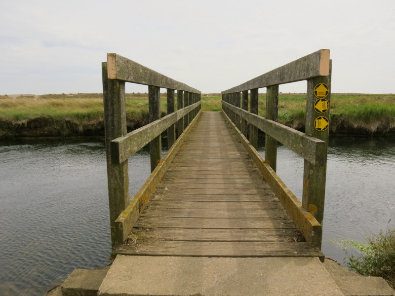
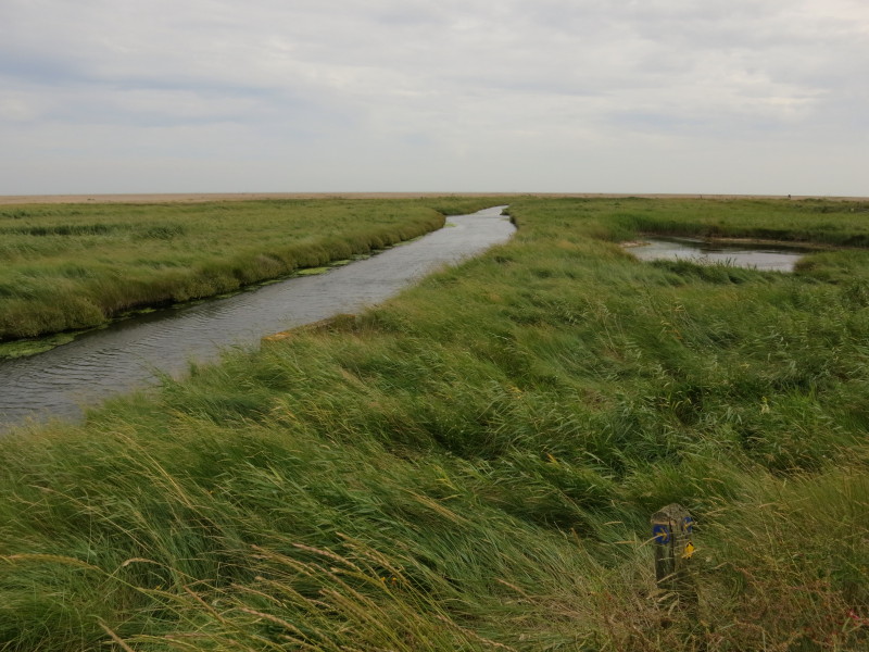
Crossing Dunwich River, the Suffolk Coast Path having kept its distance
from the sea today so far suddenly takes a bold right turn and heads
straight for the beach
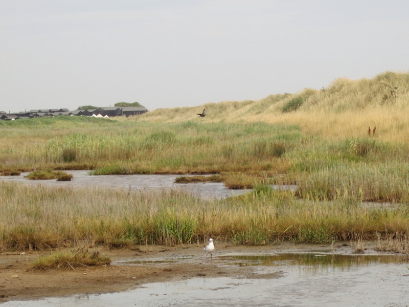
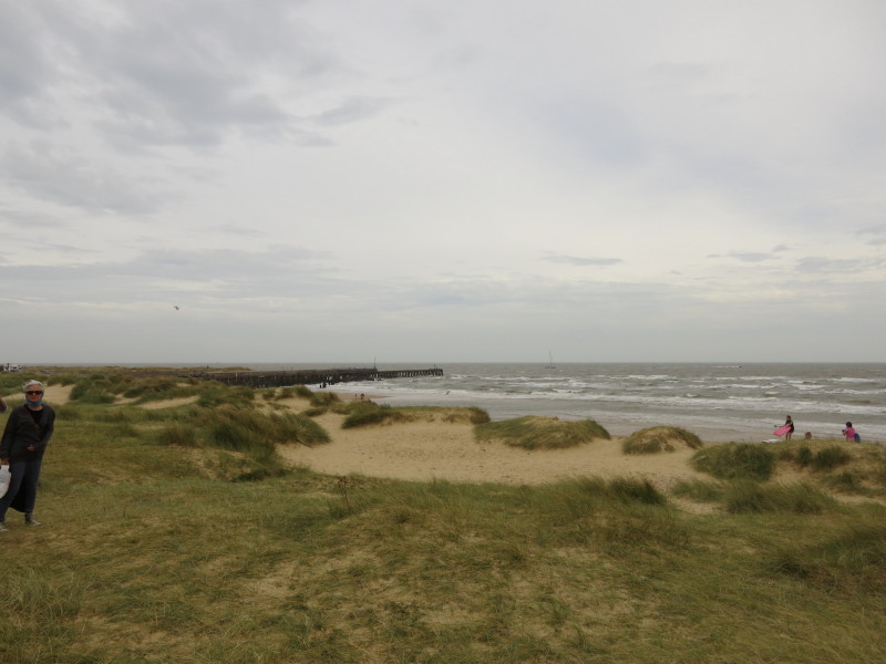
Crossing the last bit of marshes before the shingle bank rears up
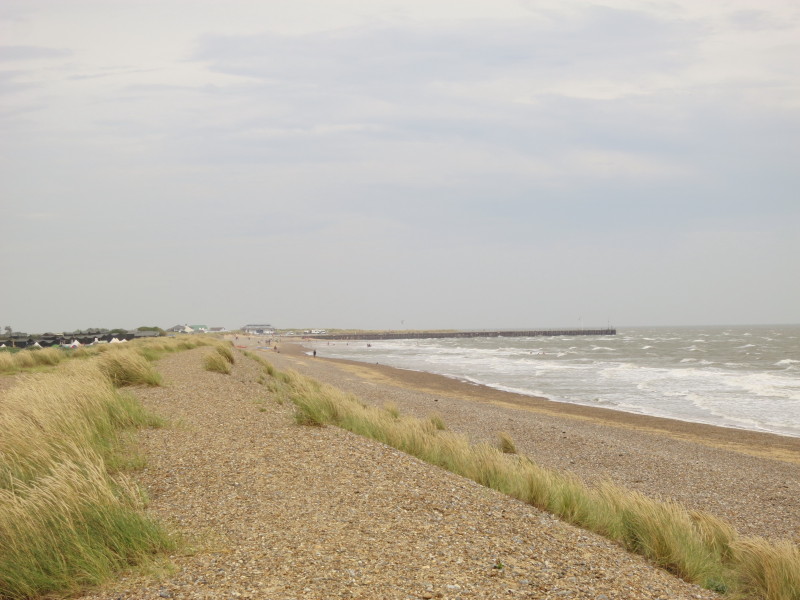
The Coast Path now heads along the beach almost until that pier marking
the mouth of the River Blyth. The wind is strong.
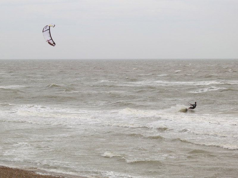
But that wind makes for good kite-surfing. It also means that the large
coarse grains of sand on the beach are blasting at the backs of my legs,
arms and neck rather painfully - I'm glad I'm heading north
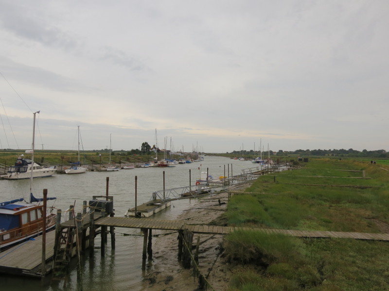
Turning away from the sea for a while, as we begin our negotiation of
the River Blyth
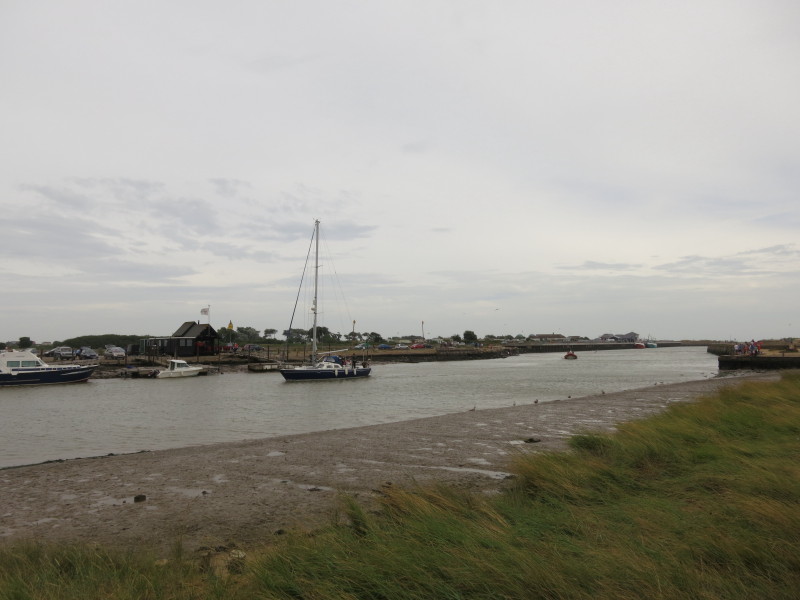
A yacht comes in from the sea as we walk along the south bank
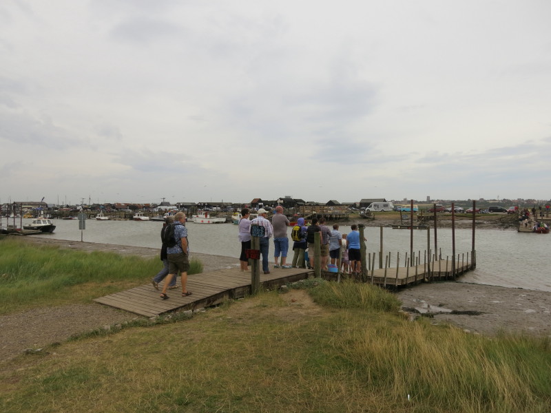
A ferry is operating, but the waymarked route takes in both banks of the
river and it would be a shame to miss out on the boats and other points
of interest
Continuing to make my way along the south bank
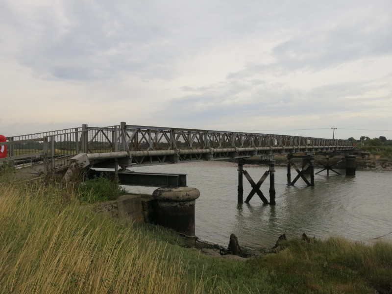
My way across the river to the north bank (and the route I took earlier
on my bike), this is where the three-feet gauge railway from Halesworth
to Southwold crossed on a 146ft swing bridge. The railway opened in 1879
but closed in 1929, though the abandonment order applied for at the time
wasn't granted until the 1990s. There are plans to rebuild/restore at
least part of the line
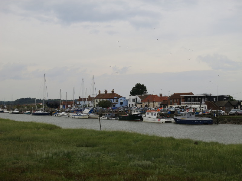
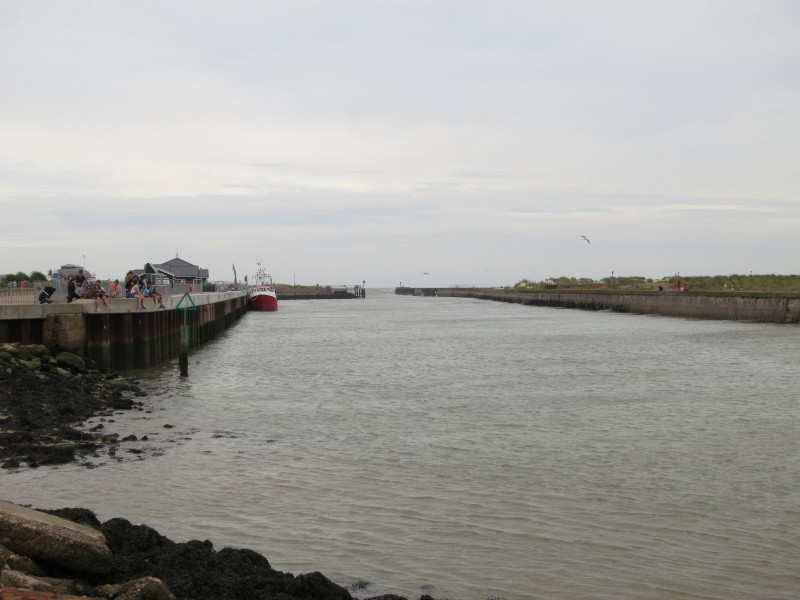
Looking along the river towards the sea from the bridge
Southwold including the lighthouse
After a walk back along the busier north bank, I have almost reached the
mouth of the river, but it is time to turn north and head into Southwold
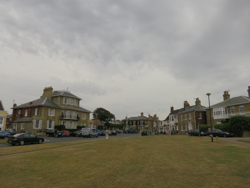
After crossing the marshes on a popular path, the route climbs up into
the town
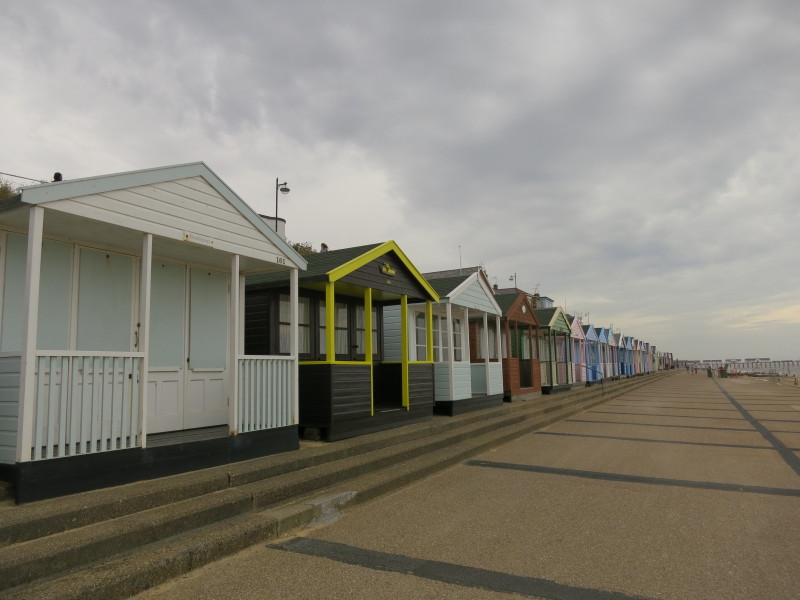
I then headed down the cliff and took to the promenade which made for
easy walking (northbound, anyway) pushed along by the strong wind and
its accompanying sand
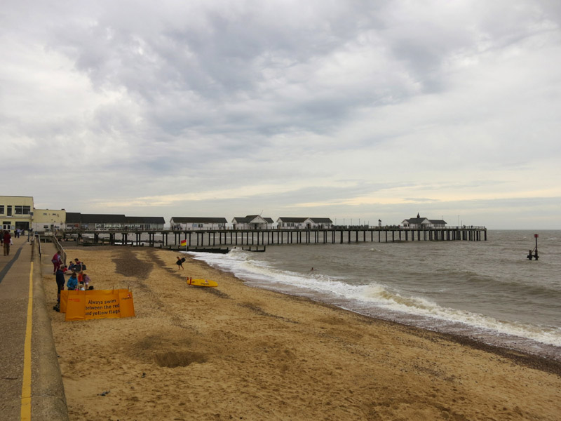
Approaching Southwold Pier and the end of today's walk. Time to return
to the car and go and pick up the bike from Dunwich.
Total 11.4 km in 3 hours 52 mins (making 11.2 km progress along the Suffolk Coast
Path)

|