Suffolk Coast Path 6: Southwold to Covehithe
31 August 2013
North of Southwold, the route of the Suffolk Coast Path is somewhat
ambiguous - there is the old inland route (still shown on some maps),
the newer inland route which is even further inland but avoids a route
prone to flooding, but isn't well waymarked, and the rather purer
coastal route along the beach, which is unmarked on the map (or on the
ground) as an official route and subject to tidal and storm disruption,
especially in the winter, when the beach may be damaged and rendered
impassable by storms, later self-repairing.
I took the car to Southwold and from there planned to walk north
along the beach, hoping that any damage would be minimal in the late
summer, returning by the 'new' inland route.
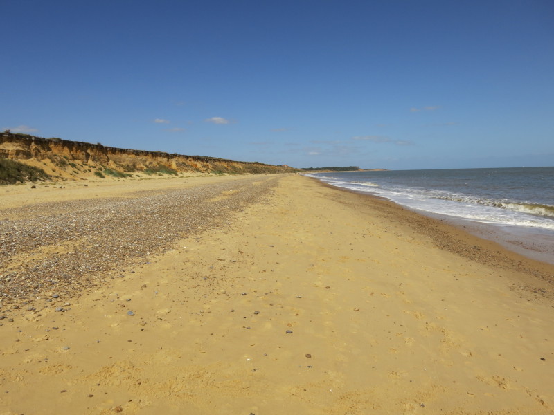
On the beach at Southwold, it is a glorious day for a coastal walk.
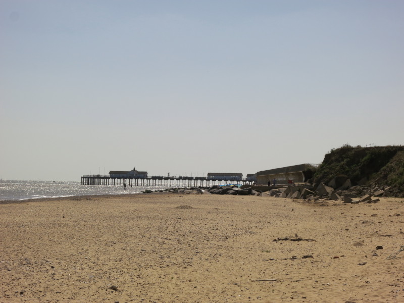
Looking back from the same point, the pier at Southwold
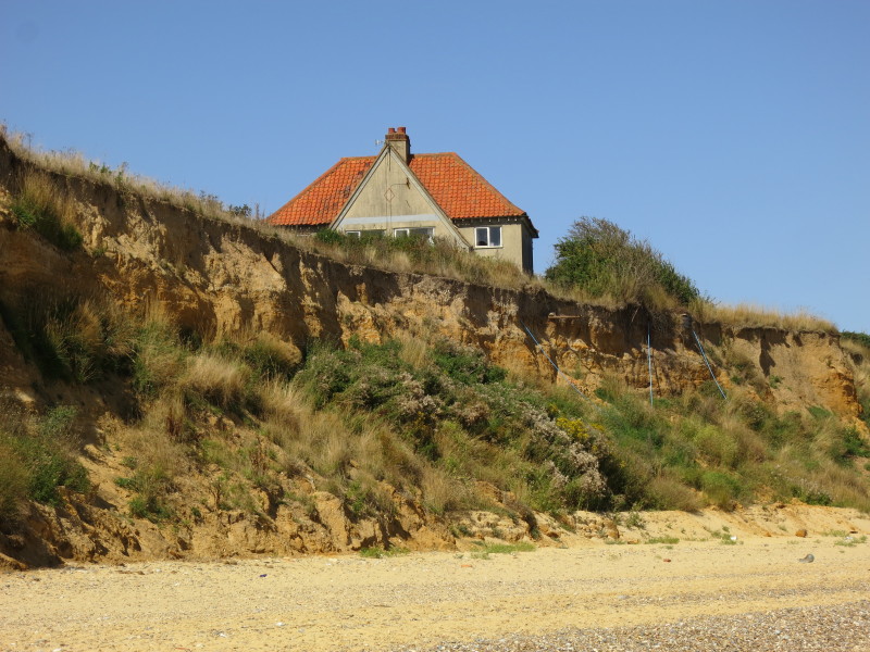
A rather vulnerable-looking house, just waiting for a bit more erosion -
and at perhaps two metres per year along this section of coast, it won't
be long before this house is the next victim.
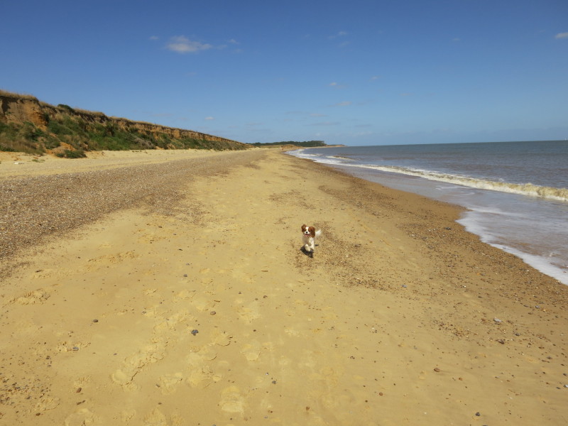
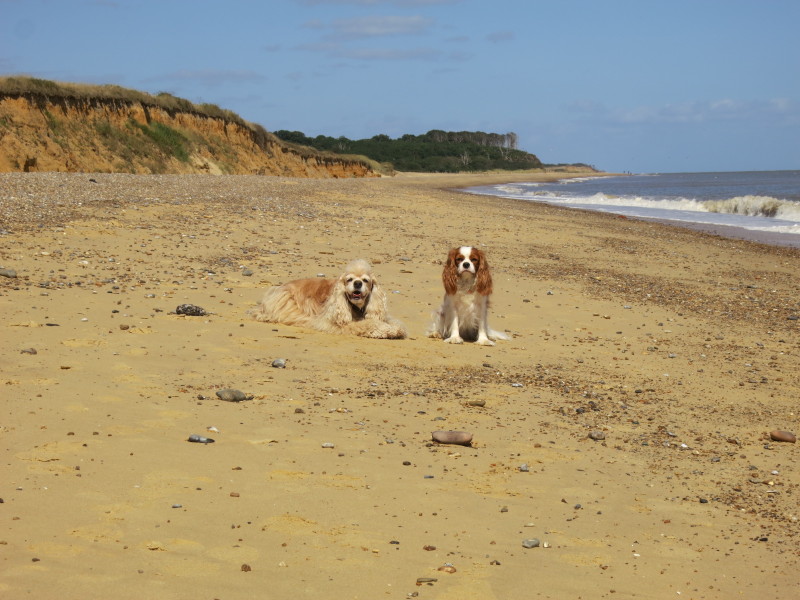
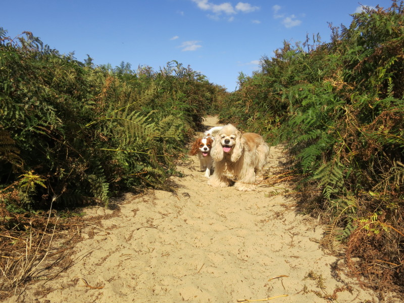
Lottie enjoying the beach - not a place she's often visited, and she
took a while to get the hang of the waves.
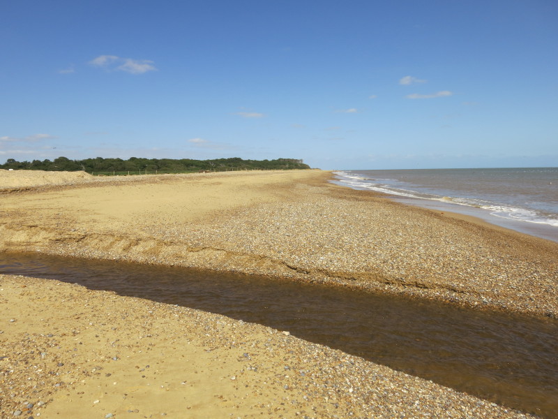
Water pouring across the beach from the marshes hereabouts forms a minor
hazard - fortunately there was an easy way round.
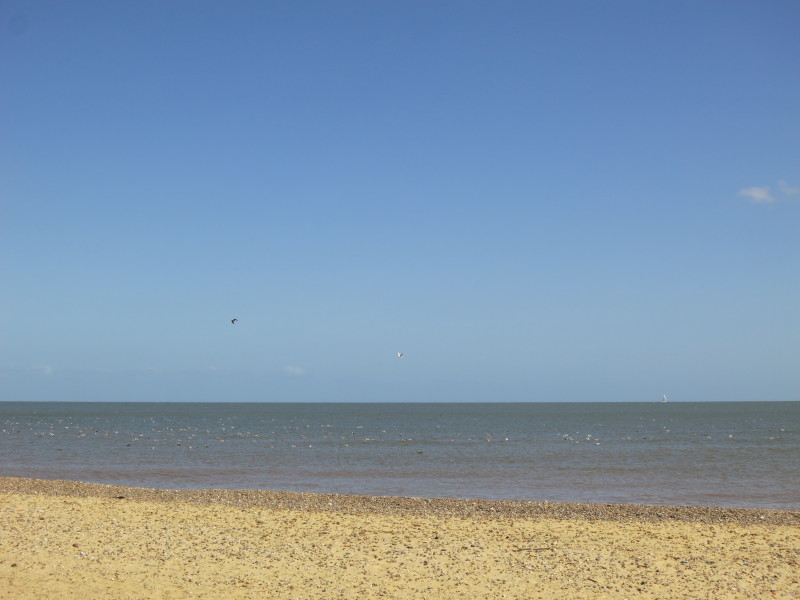
Some of the many birds attracted to the marshes and broads also seem to
spend a good deal of their time on the sea
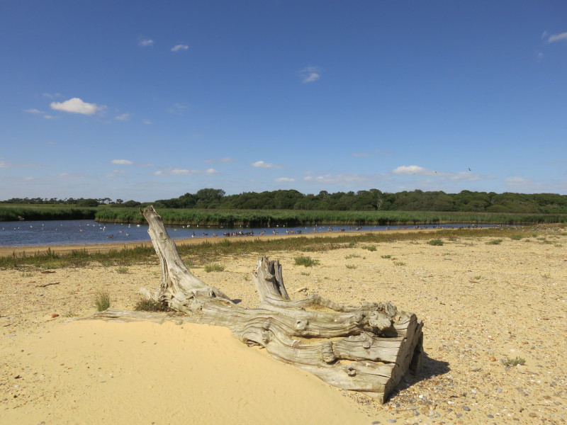
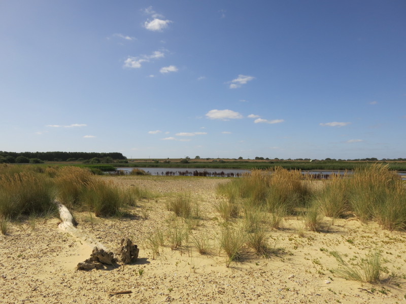
Easton Broad, protected only by a very small height difference across
the beach, and presumably at regular risk of inundation by sea water. As
the beach is pushed inland by its two metres a year, I'm not sure
whether the Broad will survive.
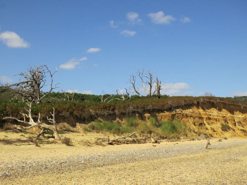
Easton Wood, and some of the remains of the trees that have fallen
victim to the receding cliffs
Covehithe Broad
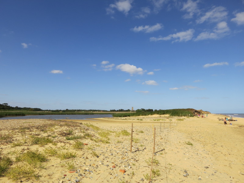
A few people are on the beach by Covehithe Broad
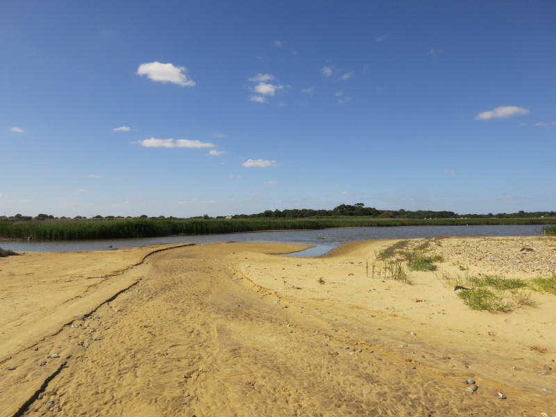
Signs of recent flows of water across the beach
Here we left the beach and climbed onto the sandy path across the cliff
tops towards Covehithe itself
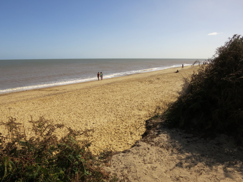
Looking back at the beach from the cliff
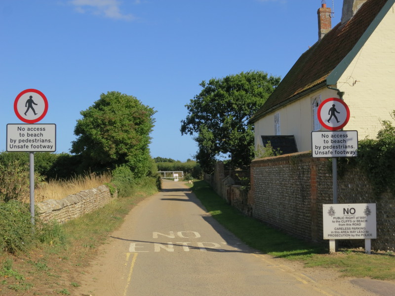
At the road in Covehithe, these signs are clearly intended to discourage
any further progress, though they leave open the question as to whether
it is safe to proceed without any intention of reaching the beach or the
cliff-top - why, for instance, should it be more dangerous to be on
Covehithe Cliffs to the east of the hamlet rather than to the south?
Perhaps the fall to the beach is greater. In any case, I turned away
from these stern injunctions, and headed west
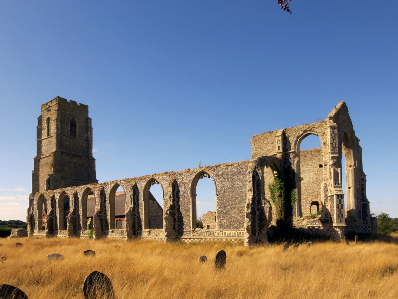
The church is odd, being a small church inside the ruins of a much
larger building. The larger outer dates from the 14th and 15th
centuries; the newer small church from the 17th century. The church
itself is still in regular use while the tower and old church are in the
care of the Churches Conservation Trust - for the next 50 years or so
until they fall into the sea.
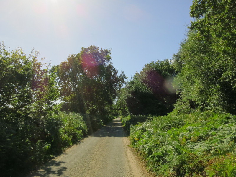
Heading west - much of the rest of today's walk was along roads, another
reason to favour the delightful beach route if it is a safe option
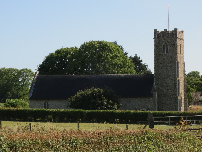
The church at South Cove
Heading south from Frostenden Corner
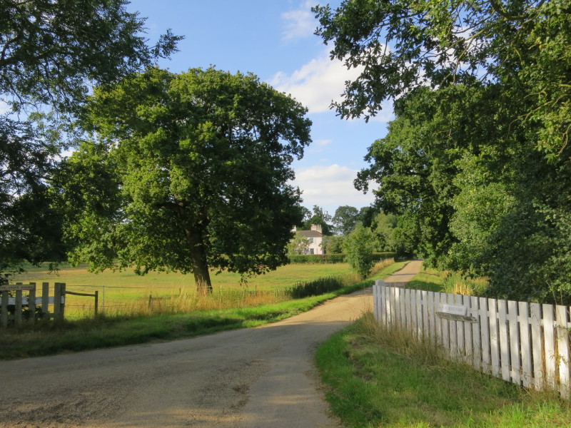
More road walking, with a glimpse of Reydon Grove Farm from the road
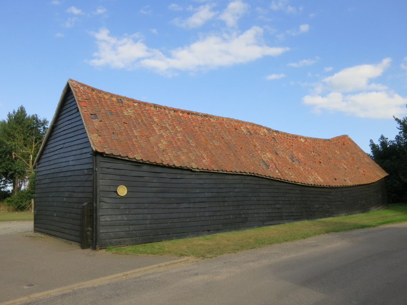
An interesting barn, presumably not built with quite such an interesting
shape
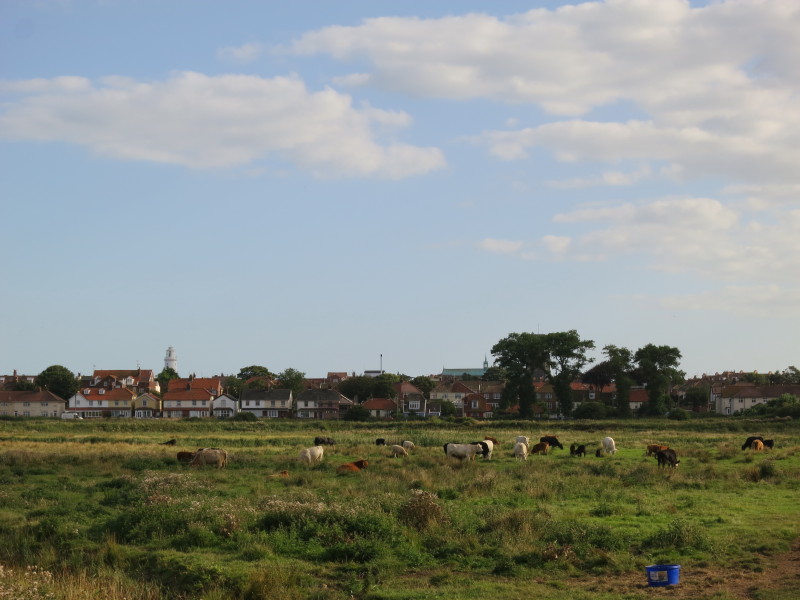
Having passed through the housing of Reydon, the route emerges onto
marshes to the north of Southwold, whose lighthouse and church appear
over the houses
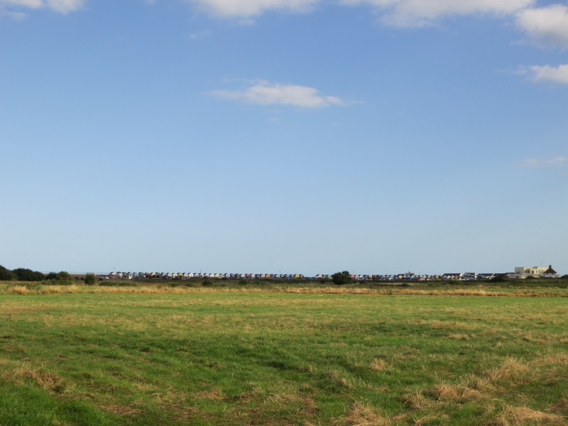
Beach-huts and the pier pavillion show that the walk is nearly over.
Total 16.9 km in 4 hours 20 mins (making 5.5 km progress along the Suffolk Coast Path)
 

|