Thames Path - Thames Head to Cricklade
15 August 2009
Stephen has so far walked the Thames Path from Oxford
to Greenwich. With the last stage in London being saved for the climax,
there remained the upper reaches above Oxford to walk. Lucy, Stephen and
George had visited Thames Head before in
2007, when it was very wet, but this time Stephen went on his own for a
longer walk downstream from Thames Head.
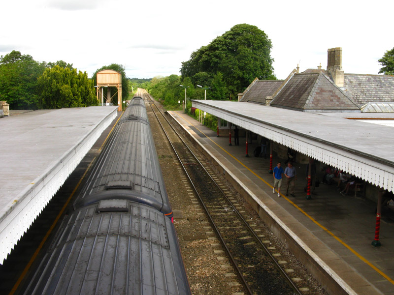
The railway station at Kemble is the start of the walk
Although most people take the direct route to the Thames and then head
upstream to Thames Head, I took a different route as I don't
particularly favour retracing my steps if there is a good alternative
route.
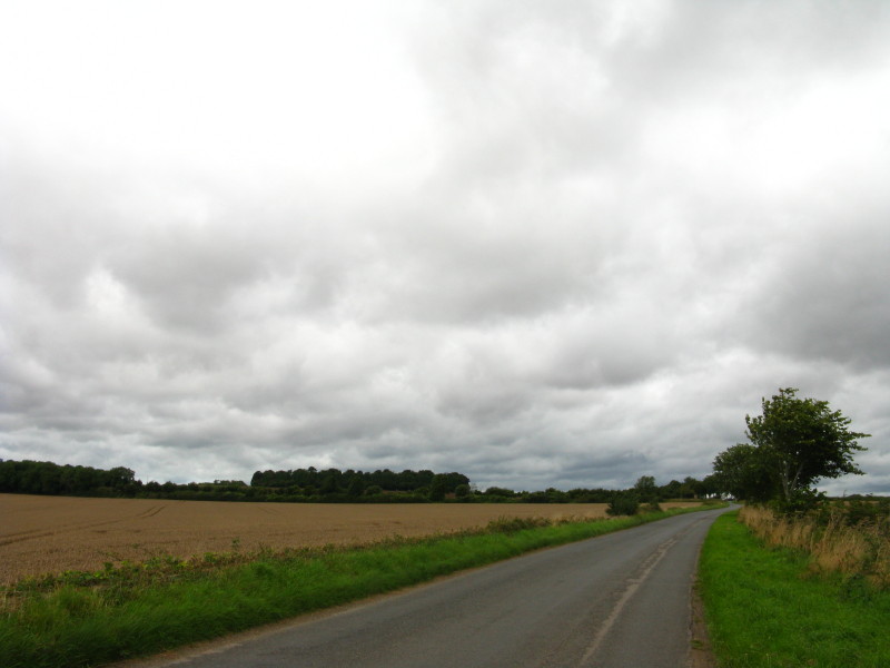
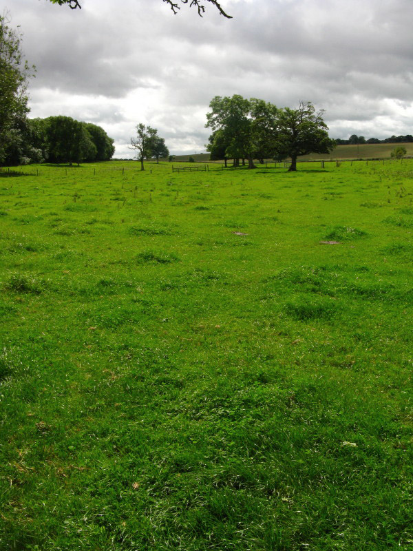
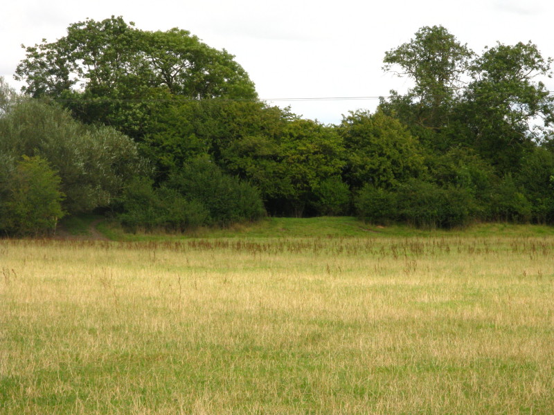
Having crossed the railway line, I head down into the Thames valley. As
expected, there is no sign of water
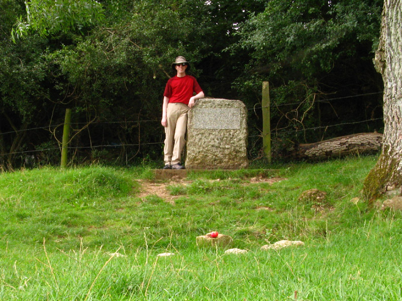
Me standing by the commemorative stone, with the spring in front (marked
by an apple, for some reason).
The stone is inscribed as follows:
THE CONSERVATION OF THE RIVER THAMES
1857-1974
THIS STONE WAS PLACED HERE TO MARK THE
SOURCE OF THE RIVER THAMES
Of course, in reality the concept of "the source" is deeply flawed and open to
huge debate. Today, this is not the source, and when I
was last here there was vast amounts of water but it wasn't the source
either as water was flowing from further upstream. As I commented last time,
there is also a good claim that the source is at Seven Springs near Cheltenham,
where the River Churn rises, which is further from the sea, higher above sea
level, and has water all year round
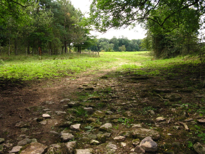
The River Thames as it flows from Thames Head. Well, use your
imagination!
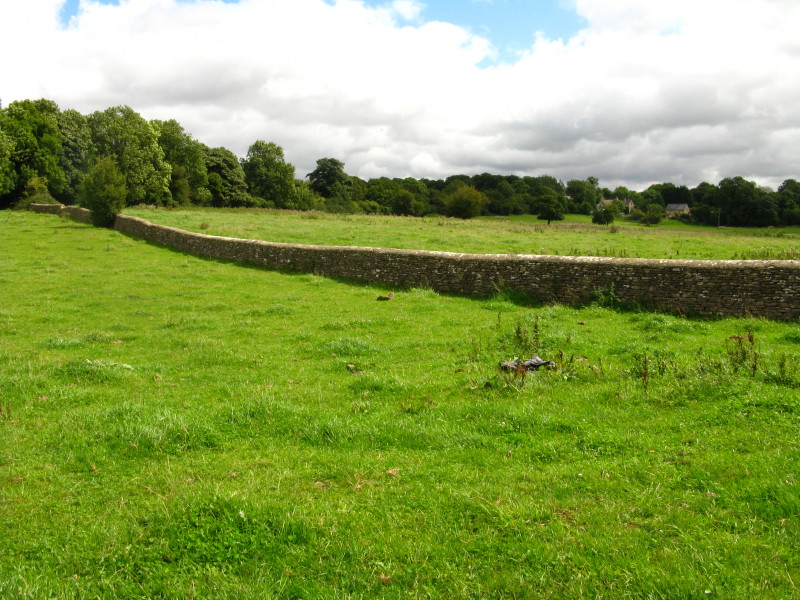
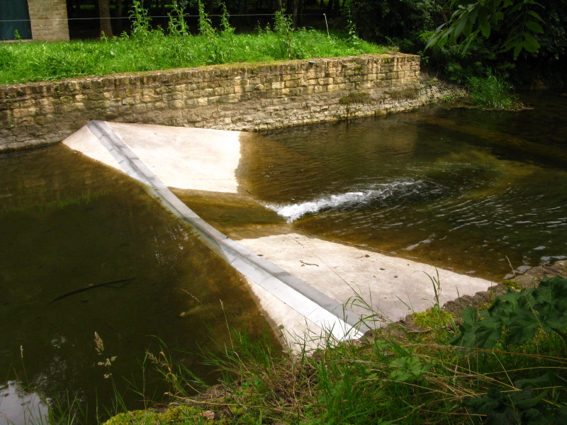
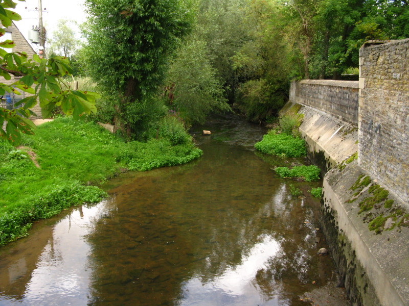
The Thames as it passes under the wall
On the far side of the A433 Fosse Way, there is a dip for the first time
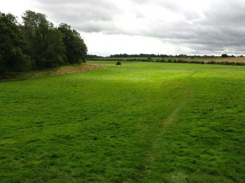
and it looks a little more like a river bed.
This is a bit more like it - still no water, though.
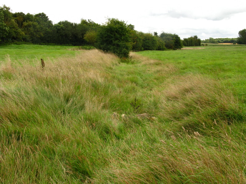
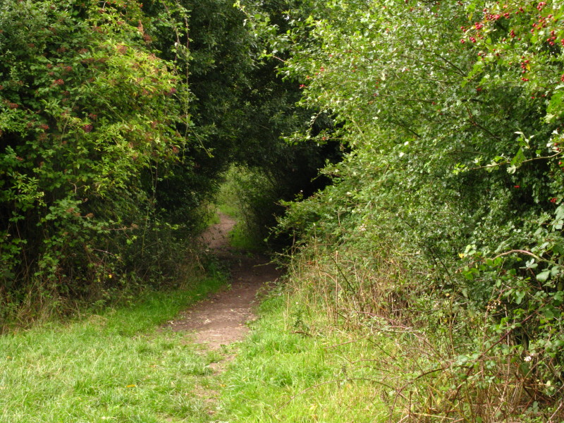
I took to the bed of the Thames and walked along it for a while - not
something I've had the opportunity to do before.
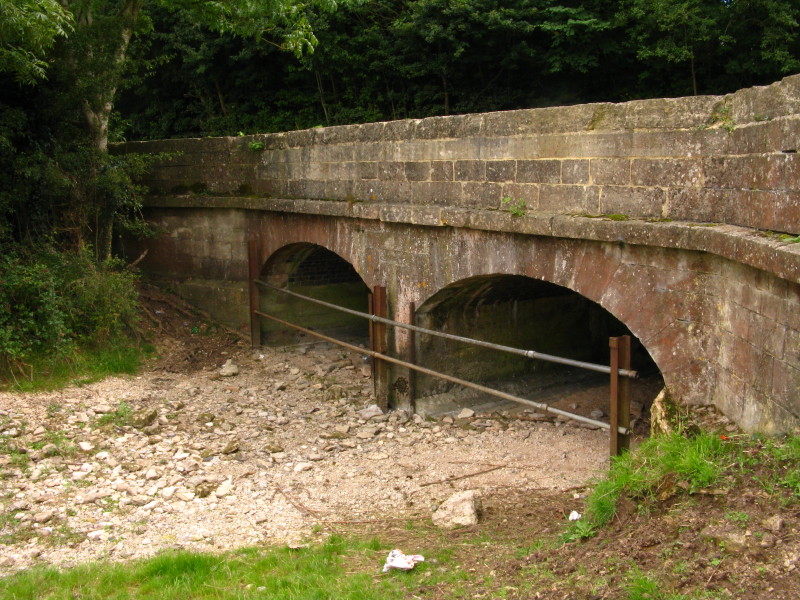
The Thames flows beneath a broad bridge which carries the A429 and once
also carried the railway from Kemble to Cirencester
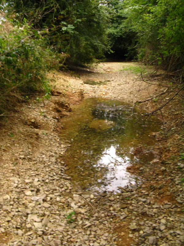
After 40 minutes walking, the first water I've spotted, but just a
puddle
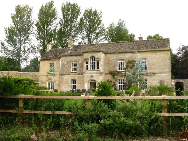
After a minor diversion away from the river through Ewen, I return to
the river bank past a number of nice houses.
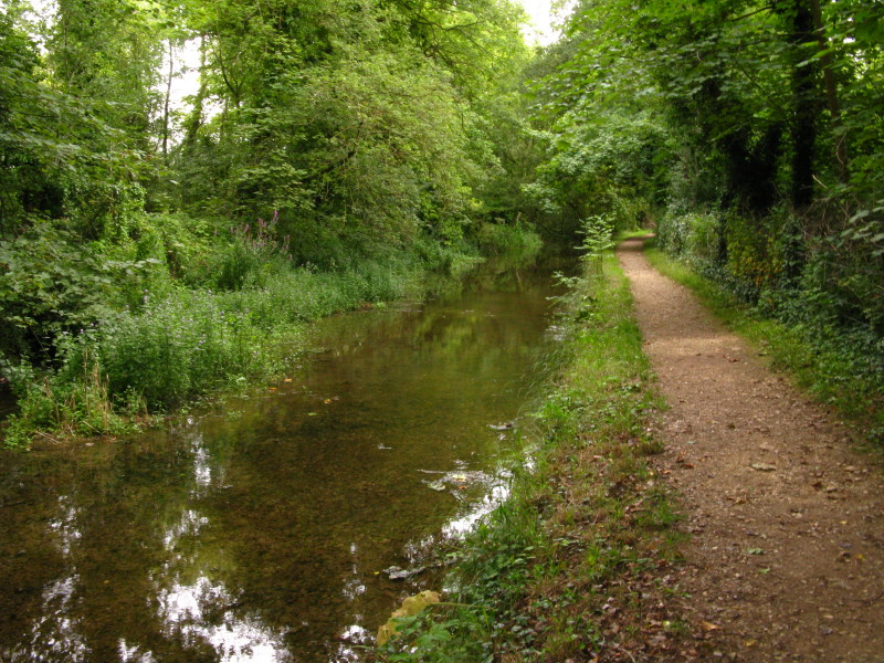
And the water is flowing at last. I suspect a significant proportion of
this is the sewage outfall from Ewen, but even so it is a river at last
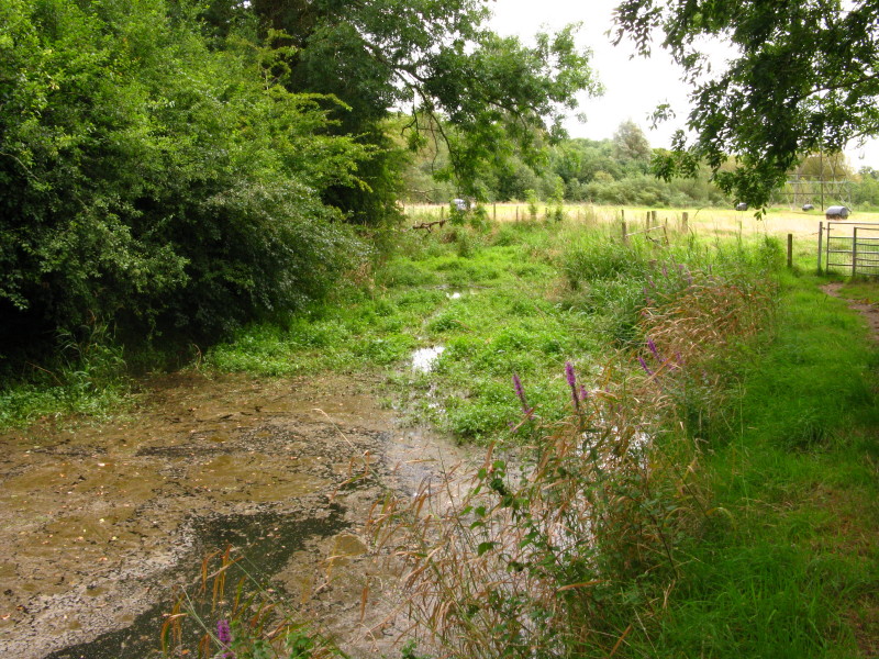
It looks a bit grotty in places, though.
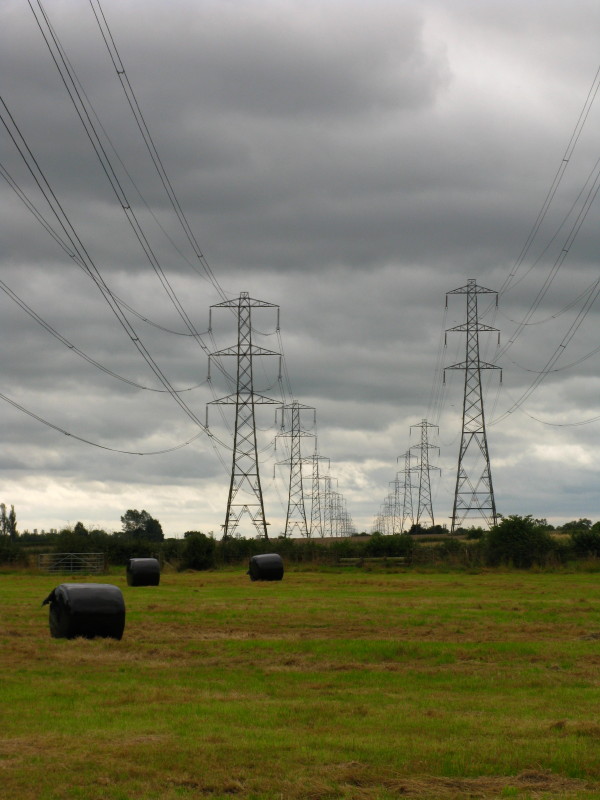
Pylons march to Didcot Power Station
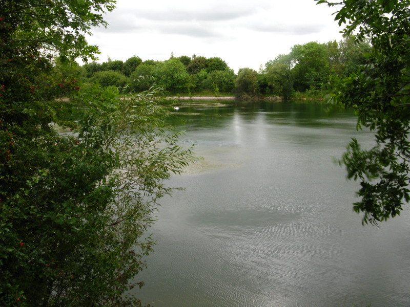
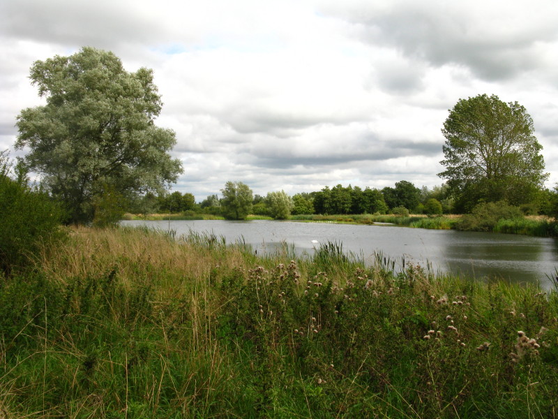
One of the many, many water-filled gravel pits that dominate much of the
rest of the walk
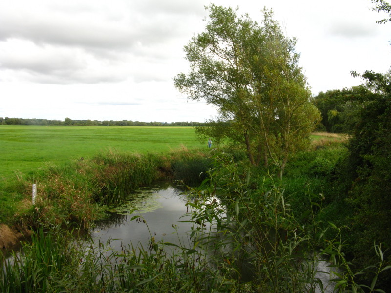
South of Somerford Keynes there is a very gentle flow, but the Thames is
looking more respectable
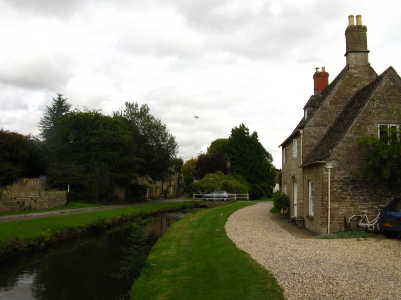
The attractive village of Ashford Keynes
Another gravel pit
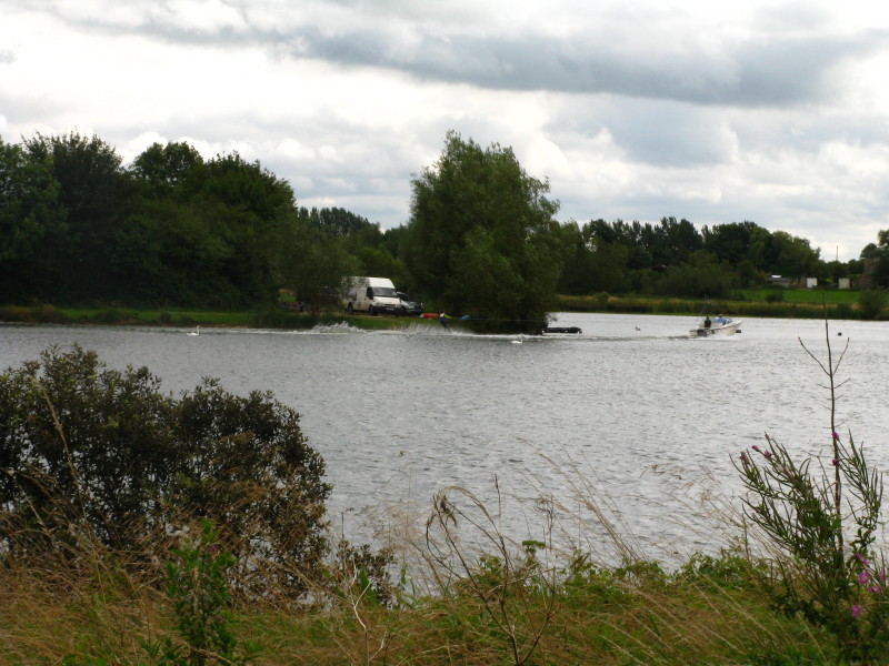
And another, this one home to some water-skiing
Finally leaving the gravel pits behind, a look across a field shows an
embankment: that is the bank of the former North Wilts Canal
Looking along the line of the North Wilts Canal - it once left the
Thames and Severn Canal just north of here, crossed the Thames and
continued to the Kennet and Avon Canal, thus bypassing some of the
difficult upper reaches of the Thames
North Meadow National Nature Reserve
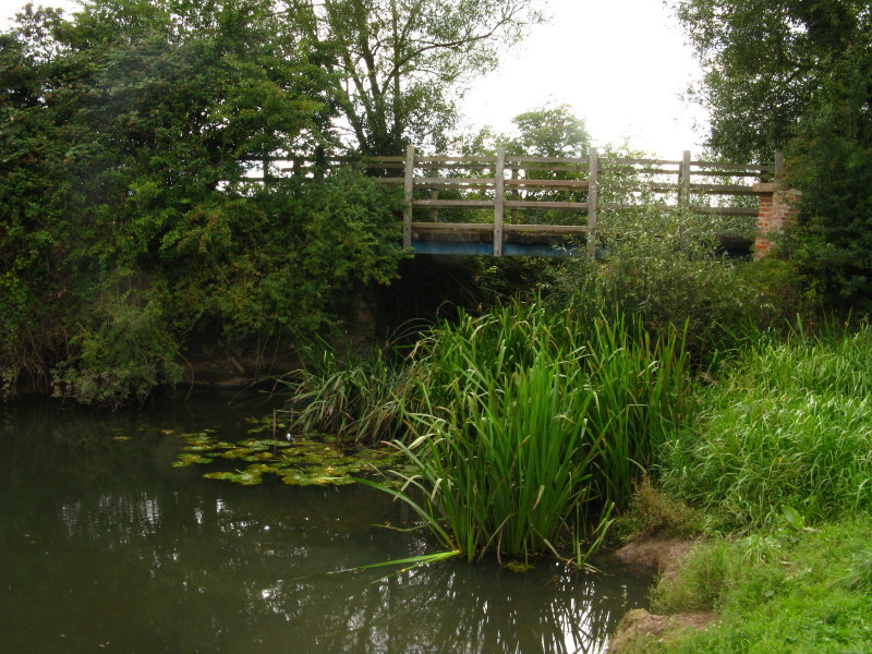
A bridge at the site where the North Wilts Canal aqueduct used to carry
the canal over the Thames
From High Bridge in Cricklade, looking downstream. Cricklade is the top
end of the legally navigable section of the Thames - though it looks
like even a canoe would have difficulty here. The practical modern limit
for many boats is Lechlade.
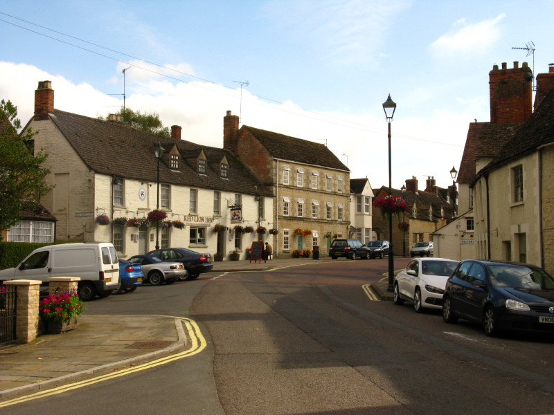
Cricklade
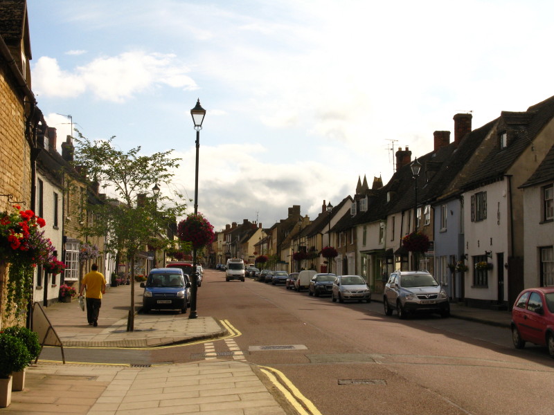
An attractive street in Cricklade
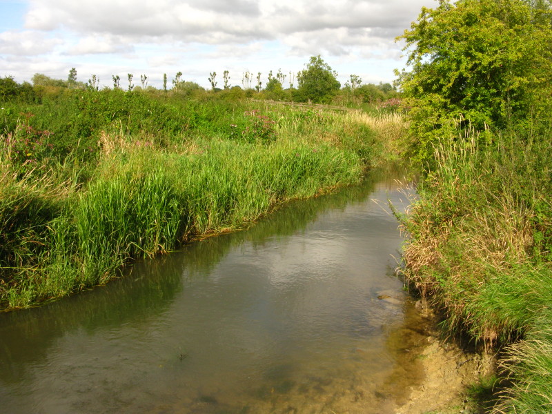
As I turn away from the river to walk to the car, a last look at the
Thames as it heads towards Lechlade.
Total 23.3 km, (20.6 km on the Path) in 5 hours 2 mins.

|