Lake District: Eskdale, Wasdale, Ennerdale, Great Gable, Esk
Pike, Mosedale and Duddon Valley
5-7 April 2006
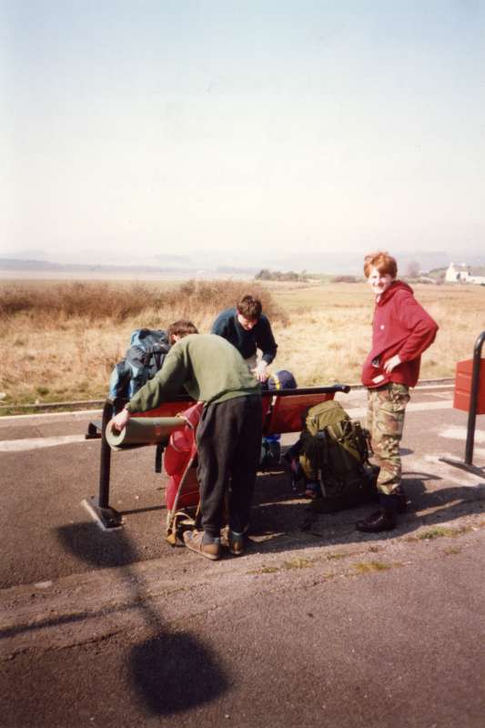
Neil, Chris and Stuart at Foxfield railway station on a beautiful Good Friday, waiting for the train up the coast to Ravenglass.
After a ceremonial dip of the boots in the water at sea-level (albeit at high tide), we caught the Ratty up Eskdale to Dalegarth, from where we took the Old Corpse Road. Here Chris marches on towards Burnmoor Tarn, with Scafell in the background.
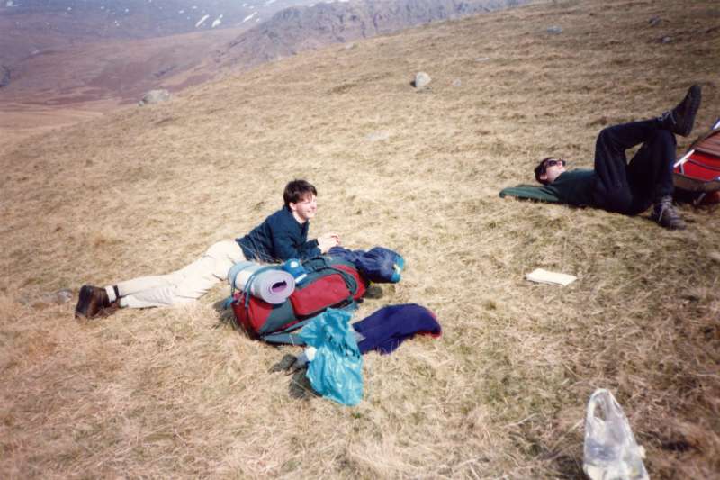
Chris and Neil resting by Burnmoor Tarn
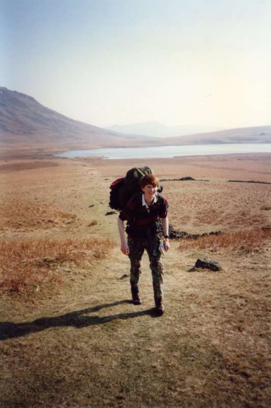
Stuart, with Burnmoor Tarn behind
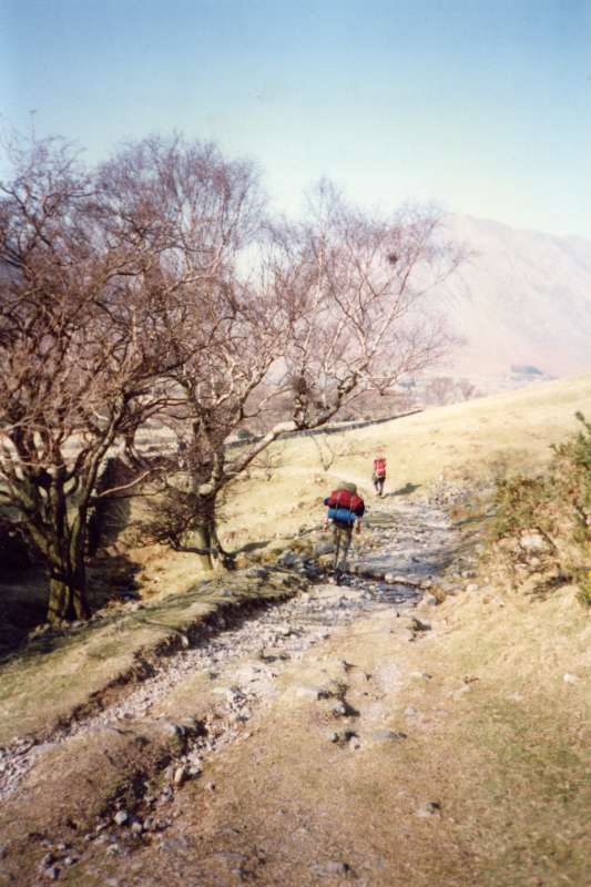
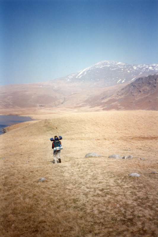
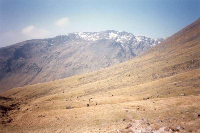
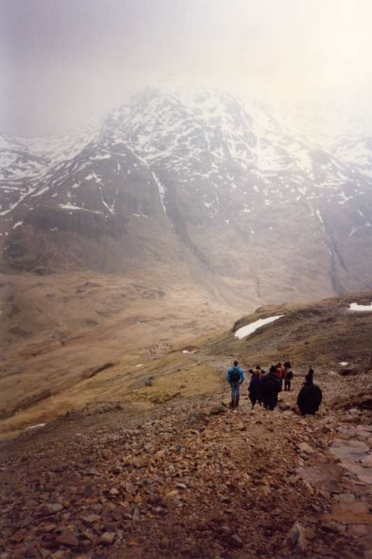
Walking down into Wasdale
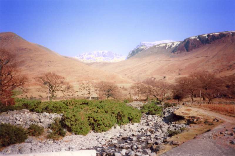
Lingmell, Scafell Pike and Scafell from the head of Wastwater
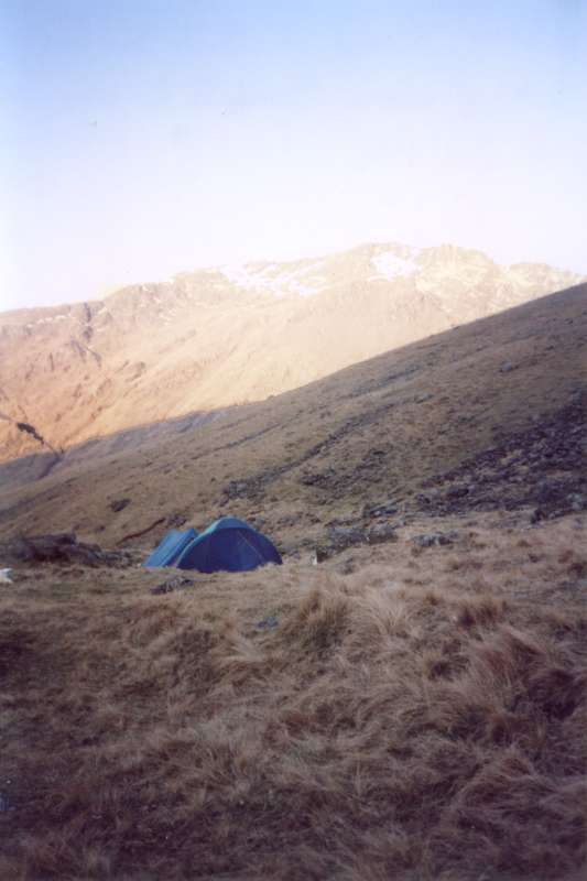
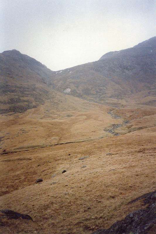
After Stephen suffered a major cramp, we set up camp half way up the path to Black Sail Pass. A view from camp across Mosedale
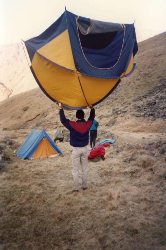
Chris checking the ground under the tent
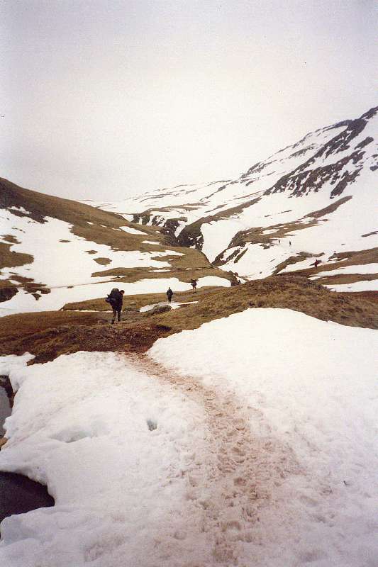
The next day, continuing up the path to Black Sail Pass, looking back to the Mosedale fells
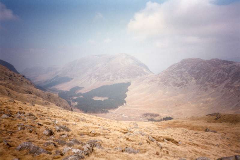
From Black Sail Pass, looking down Ennerdale
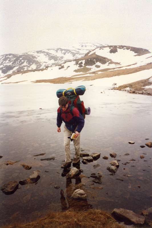
From Black Sail Pass we contoured around Kirk Fell. Here Neil approaches Sail Beck
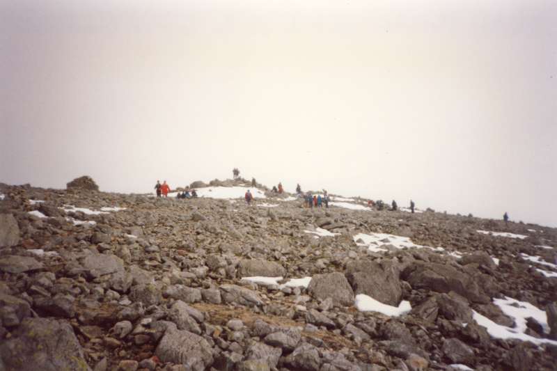
Approaching the crowded summit of Great Gable
Descending Great Gable towards Sty Head, with Great End ahead
Chris and an icy Sprinkling Tarn
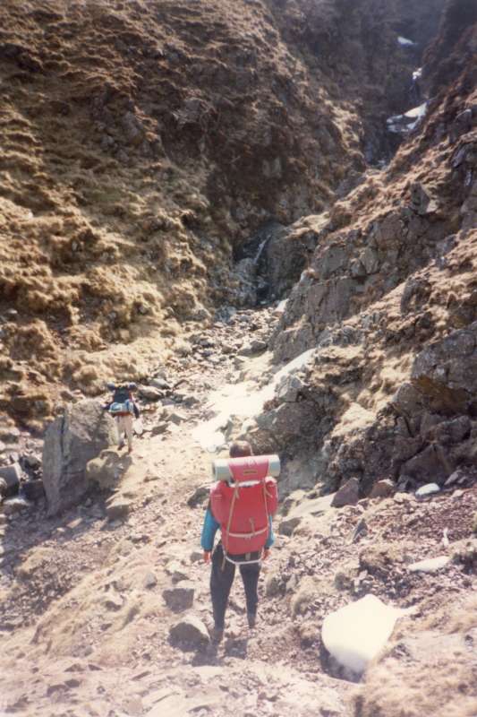
Climbing from Sprinkling Tarn under the slopes of Great End
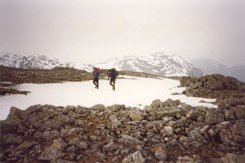
Neil and Chris on the upper slopes of Esk Pike, with Great End behind. A few people were sledging down the snow from the col between Great End and Ill Crag
Looking up to Ore Gap from our second camp site, at Green Hole, below Crinkle Crags
On the third day, we walked along another Mosedale and the full length of the Duddon Valley back to Broughton-in-Furness. Here a view from Birks Bridge of the Duddon
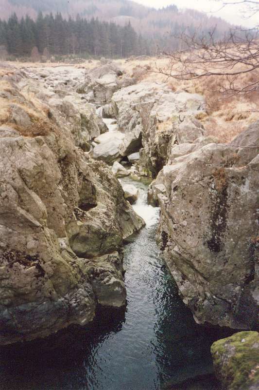
Chris and one of the tributaries of the Duddon.
Total walk distance 46.62km, height gain 2228m, time taken 2½
days.
|