Haydown Hill and Fosbury Camp
15 March 2009
With Lucy taking Ellie and Henry to "rally obedience"
at Collingbourne Ducis in Wiltshire, Stephen and George took advantage
of the lift down to Wiltshire for a walk.
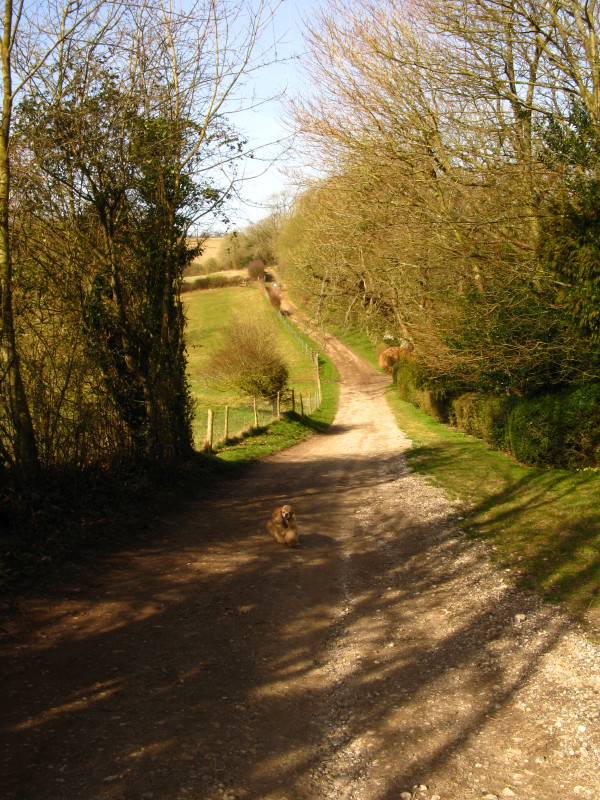
Heading along the byway from Upper Chute on a lovely sunny day
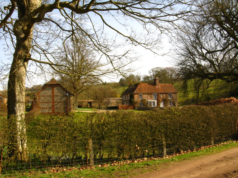
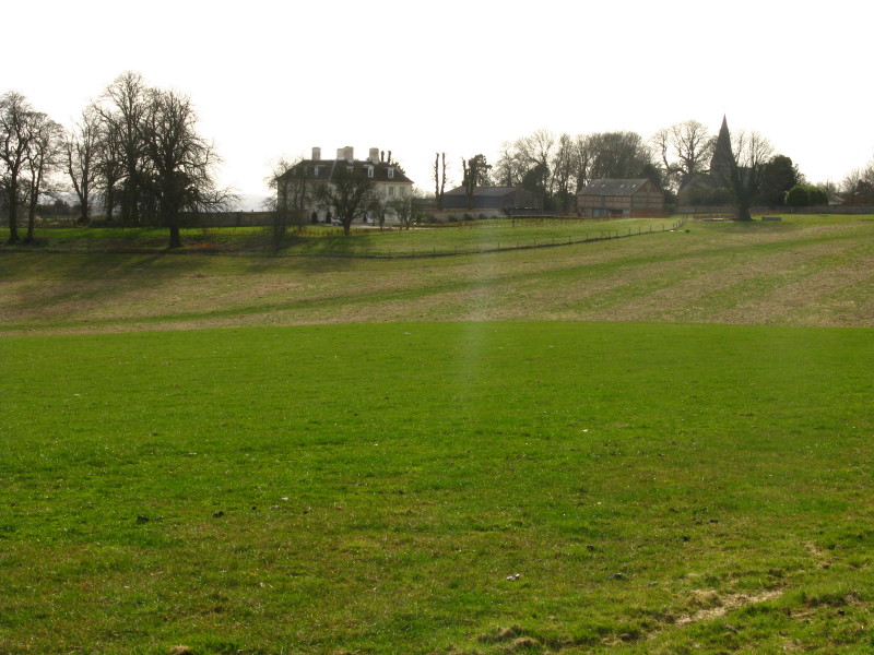
An attractive farmhouse
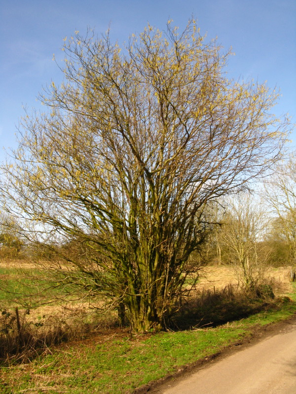
A very coppiced tree, now growing free
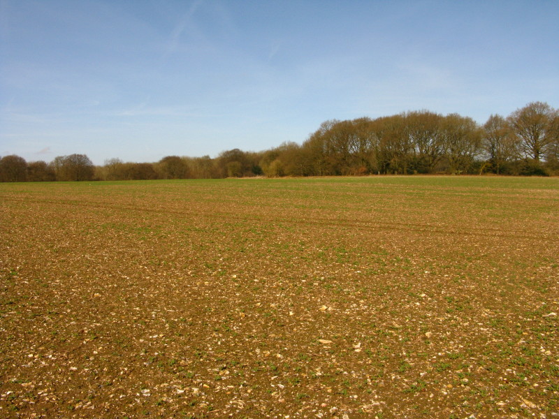
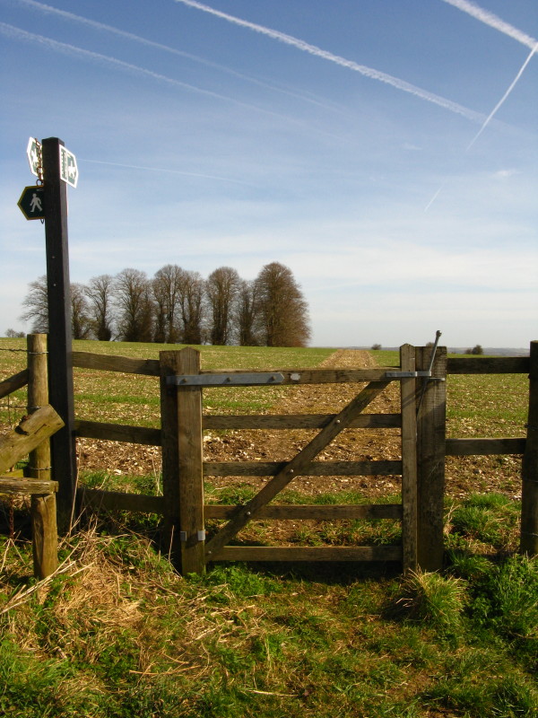
The public footpath heads across this field. It was one of those moments
when a 1:25 000 map would have been rather better than the 1:50 000 map
I had, but the GPS guided me across on the line of the right of way to
find the path on the other side.
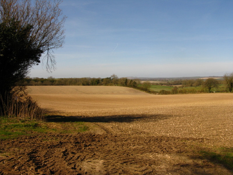
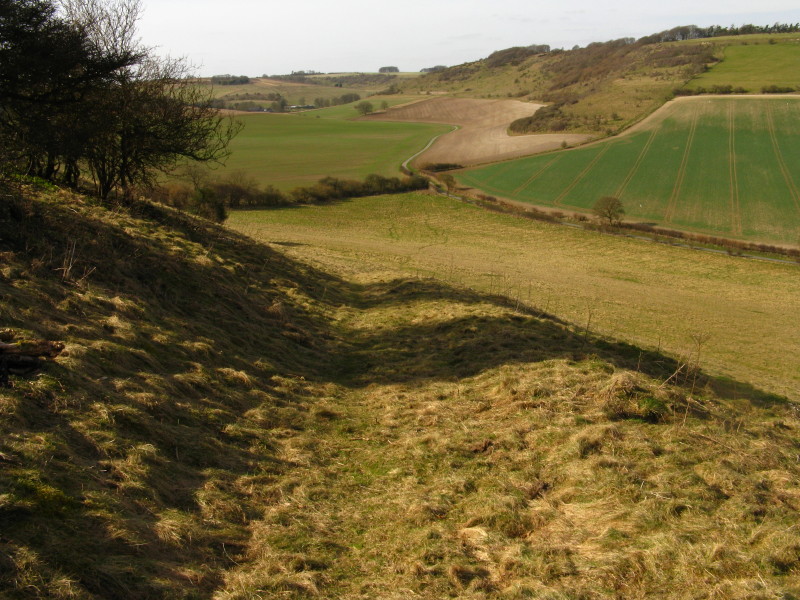
As we gain height on Wexcombe Down, we have left the woods behind and
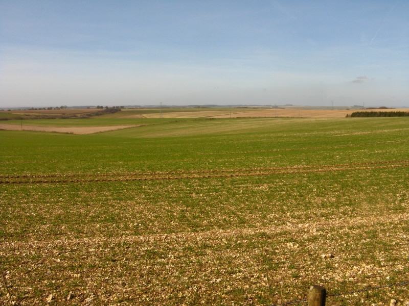
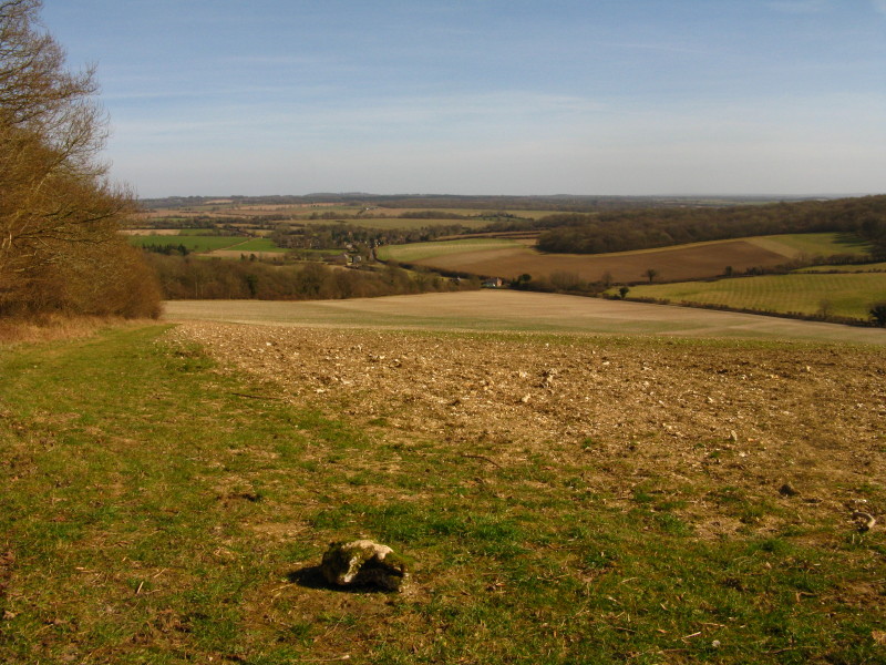
the vistas open out across the rolling chalk downland.
Looking across Wexcombe Down
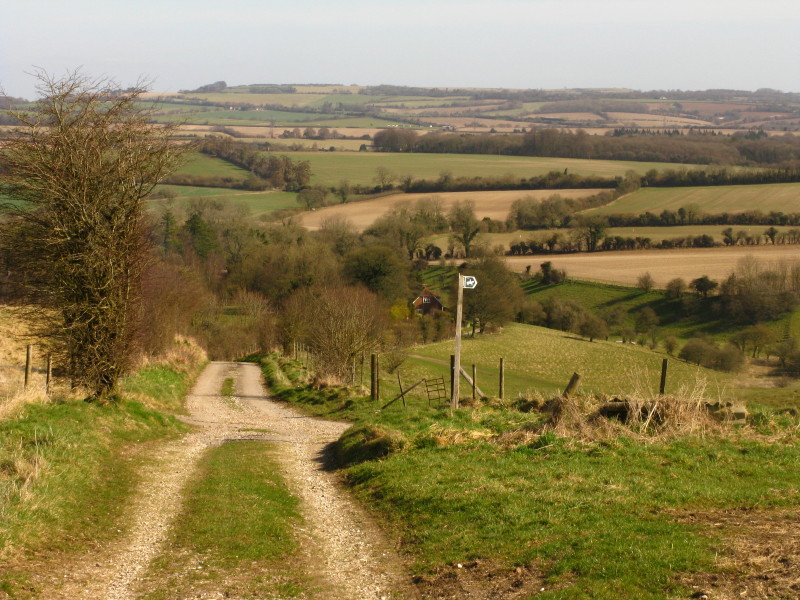
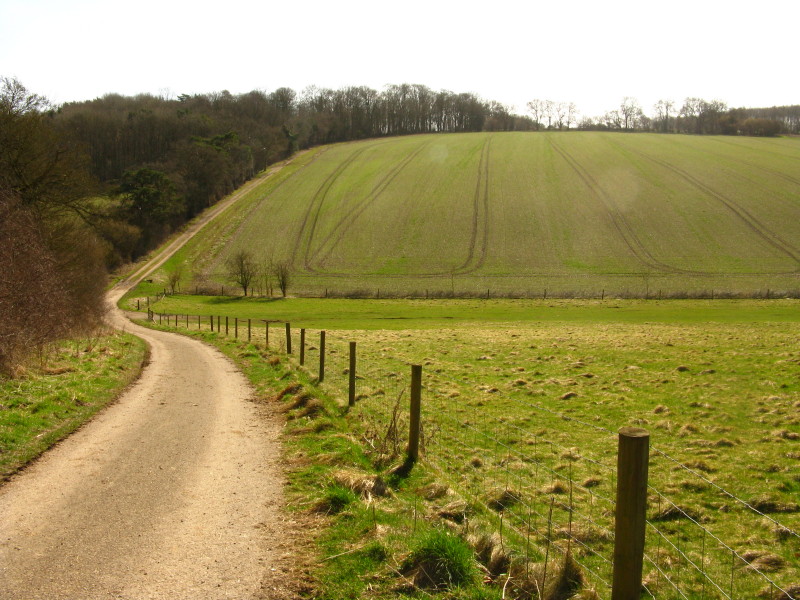
Descending Tidcombe Down towards the village of Tidcombe
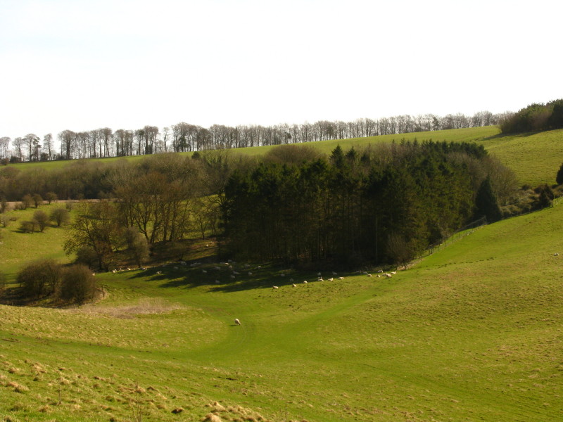
Sheep in one of the combes
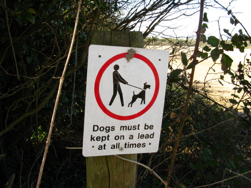
An odd sign - the top half prohibits the keeping of dogs on a lead, and
the bottom half purports to require it. Neither is right as it is a
public footpath and so my duty is to keep my dog under close control.
And in any case, what are the risks are from a dog being off the lead in
this field?
Past Beacon Farm we descend and re-ascend as we begin the climb onto
Haydown Hill
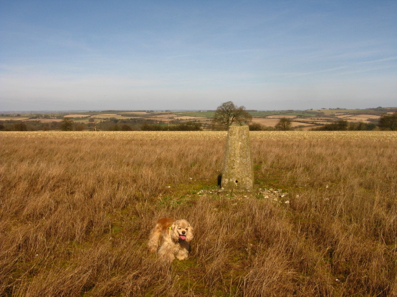
George by the trig point on Haydown Hill, the highest point of today's
walk
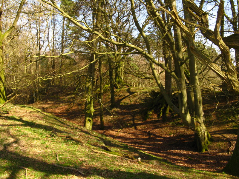
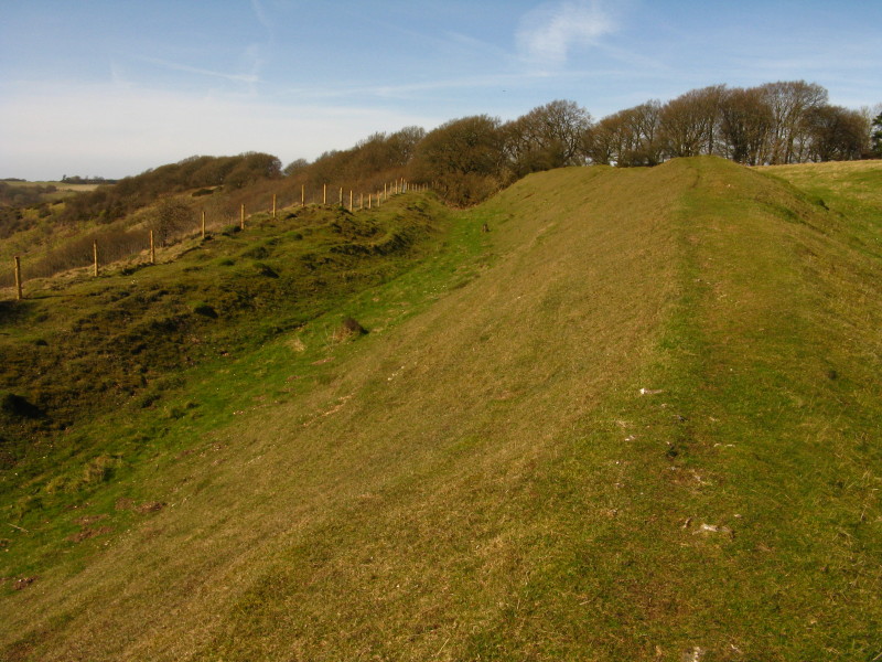
From there it is a short walk to the edge of Fosbury Camp, an iron age hillfort with a double bank ("bivallate" in
the jargon) which encloses about 10 hectares.
Looking down into the ditch between the two banks
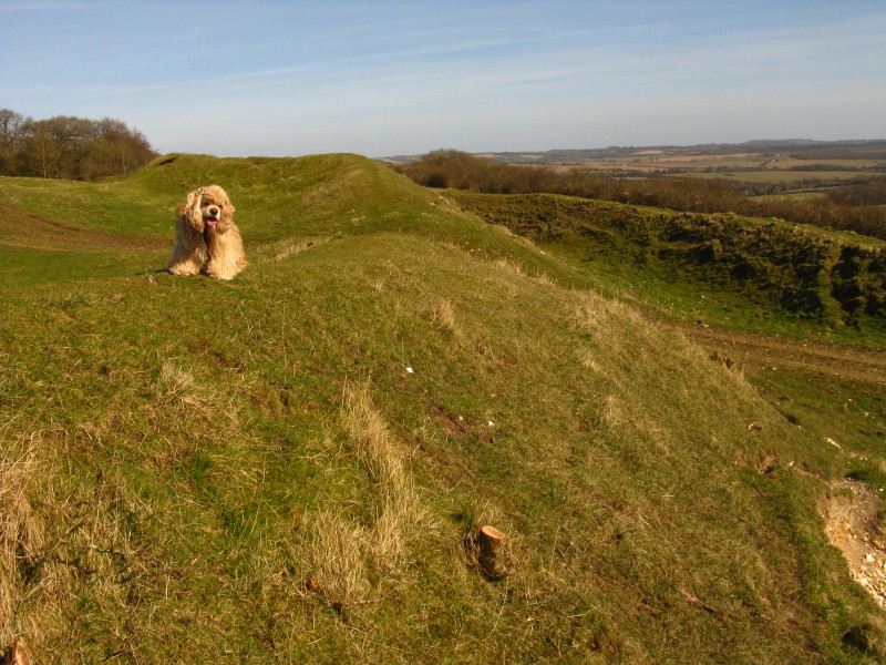
George at Fosbury Camp
The shrubs growing on the banks have largely been cleared, but there
remains a little more to do
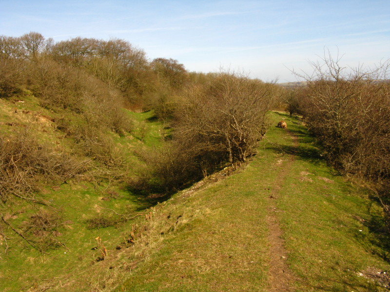
Descending from Haydown Hill towards Vernham Dean. On this descent we
passed first a lone man and then a family group - they were the only
people we passed in 5 hours of walking today.
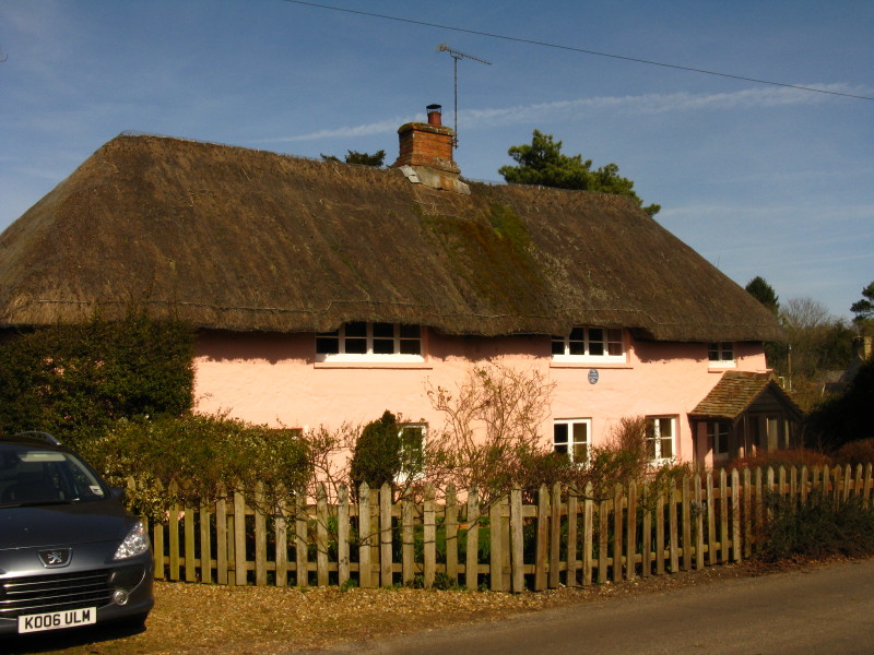
A cottage in Vernham Dean
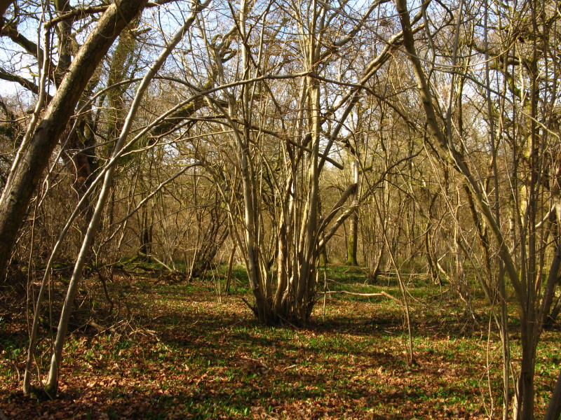
Then it was time to ascend again, onto Conholt Hill through this
coppiced woodland
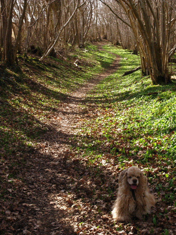
George as we ascend this delightful path
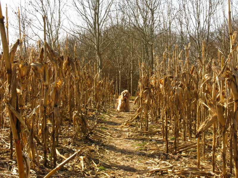
Towards the top of the hill we pass through a maize field and into newly
planted woodland
"They go up-diddly-up-up, they go down diddly-down-down". Descending
from Conholt Hill into Hippenscombe
From Hippenscombe, looking back along our line of descent
We climbed from Hippenscombe across the Roman road from Winchester to
Cirencester (which bends here to avoid Hippenscombe - the only
significant bend on the whole road), then descend towards Lower Chute.
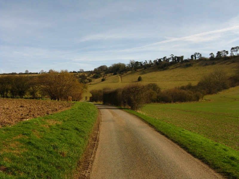
Here we approach Upper Chute
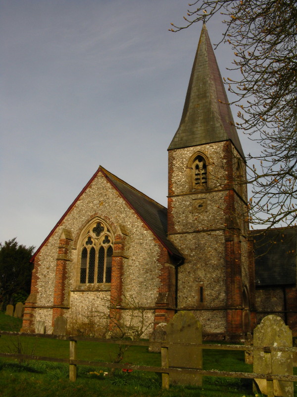
The church at Upper Chute, and time to take the car back to
Collingbourne Ducis.
Zoom in for more detail, or see map in larger window: Ordnance Survey |
Open Street Map |
Google Maps
An enjoyable undulating and astonishingly quiet outing on a lovely day. Total distance
20.6 km and 549 metres of ascent in 4 hours 54 mins.
|