Angles Way 10: Oulton Broad to St Olaves
9 September 2012
After parking in St Olaves, I am walking to Haddiscoe station (which is
nearer to St Olaves than Haddiscoe) for a train to Oulton Broad North
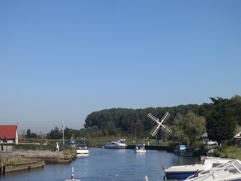
from where we can pick up the Angles Way walk. Here we look north up the
River Waveney on the first bridge
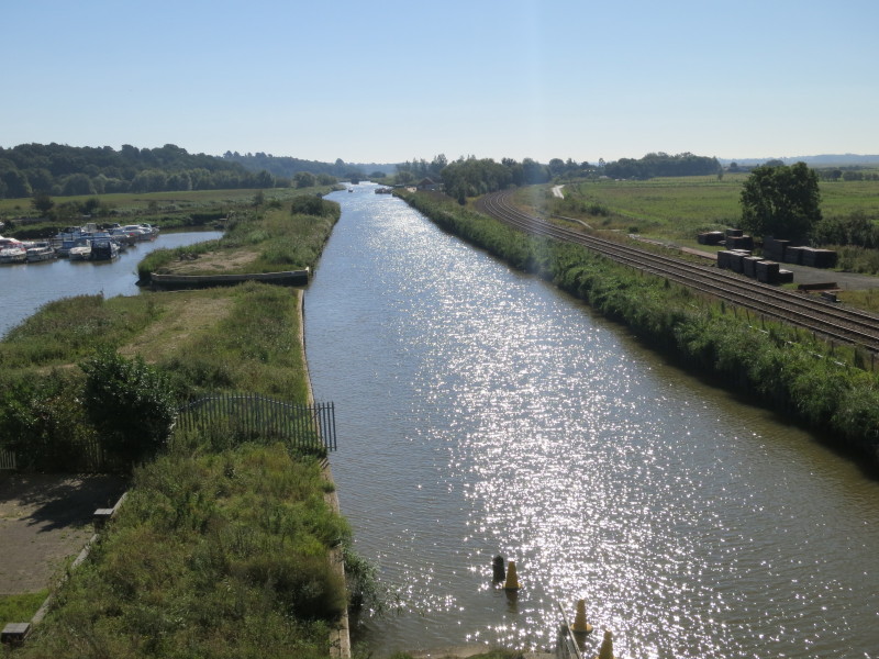
...and on the second bridge we cross over the New Cut, opened in 1833 as
part of a scheme to link Lowestoft and Norwich by water. The railway
station is among the trees in the distance.
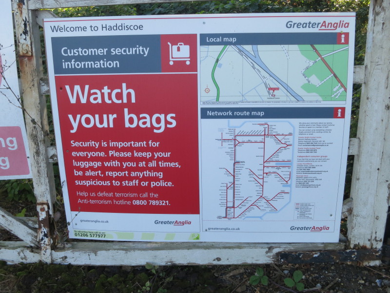
Of all the places in Britain that terrorists are likely to strike,
Haddiscoe station comes in somewhere at about number 700,000. And there
are no staff and I don't suppose the police are terribly frequent
visitors, either.
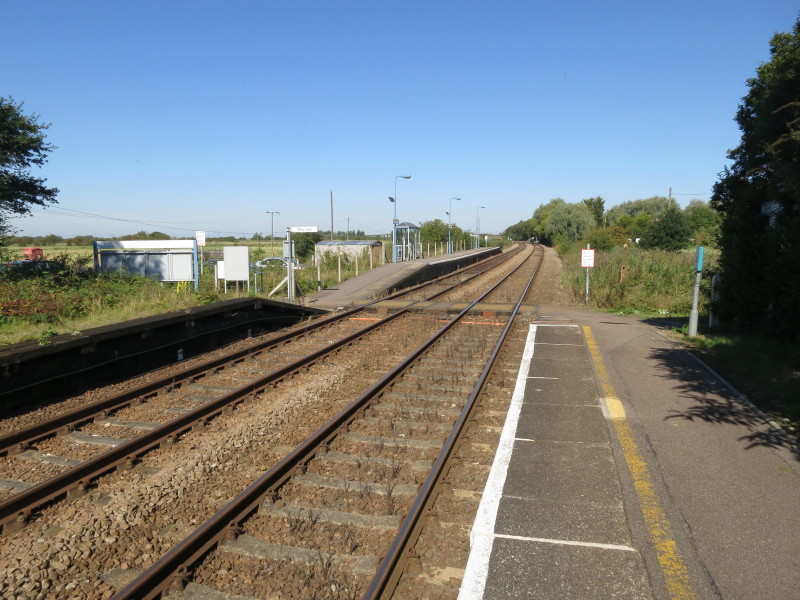
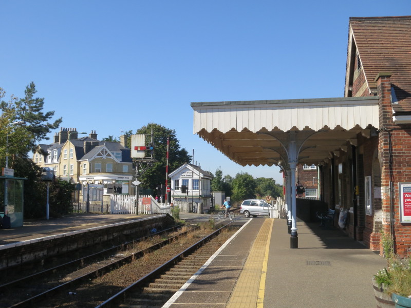
Haddiscoe station, originally named Haddiscoe Low Level to distinguish
it from the nearby Haddiscoe High Level on the now closed Yarmouth to
Beccles line. I was the only passenger to join (or leave) the train.
Oulton Broad North station, where I left the train, and made a rapid
reboarding when I realised I'd left my hat on it, and managed to get off
again in time.
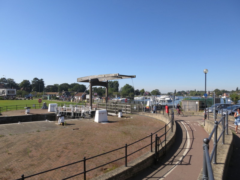
From the station I walked in the "wrong" direction to join up with my
earlier walk on the Angles Way at the end of Oulton Broad, seen in the
background. Turning round, I recrossed this bridge over the lock cut
which links Oulton Broad and Lake Lothing, built as part of the same set
of works as the New Cut seen earlier.
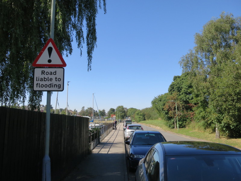
There was quite a long suburban walk roughly parallel to the northern
edge of Oulton Broad, but with only occasional glimpses of the lake.
Parts of St Michael's church date from 1300. It marks the edge of the
built up area of Oulton Broad and the wider Lowestoft area, and from
here the walk is mostly rural.
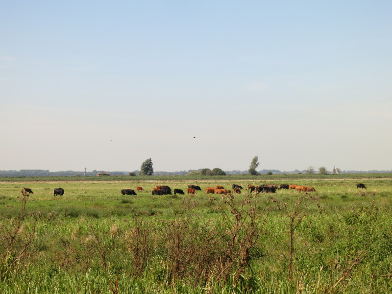
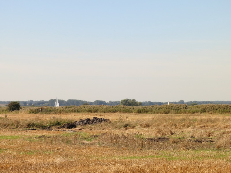
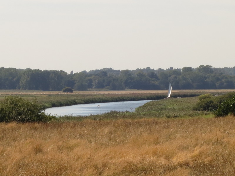
Although the Angles Way was voted the best waterside walk in 2003, it
spends relatively little time near the river. Here sails can just be
seen in the distance, but that's as near as I am getting for today's
walk.
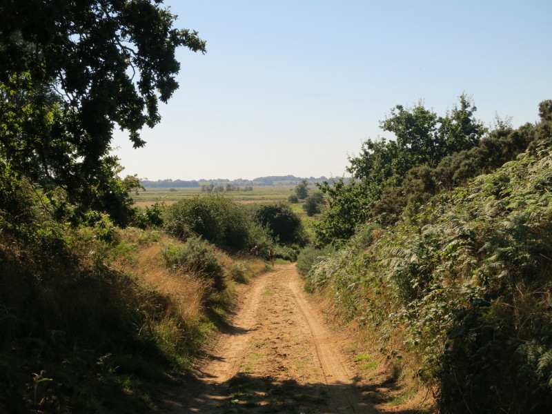
After offering directions to the family in the distance (it's surprising
how often I seem to get asked for directions when out walking - I must
look the part somehow, though I've been asked in several foreign cities
as well as across England), I climbed up this sandy lane, leaving the
plain of the river behind me.
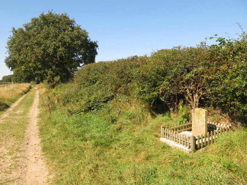
The lane then turns parallel with the river on higher ground, passing
the first of two memorial stones I saw today:
"NEAR THIS PLACE LT J.BLACK U.S. N.A.F. PILOT AND LT
T. AIKEN U.S. N.A.F. NAV GAVE THEIR LIVES IN DEFENCE OF THIS COUNTRY
RETURNING FROM OPERATIONAL DUTIES ON NOV 14 1944 GREATER LOVE HATH NO
MAN THAN THIS THAT A MAN LAY DOWN HIS LIFE FOR HIS FRIENDS."
The two US Navy Air Force men observed an air-launched
V1 Flying Bomb and gave chase when their de Havilland Mosquito
nightfighter was shot down by friendly fire from an anti-aircraft
battery. Their plane near here and they died.
A glimpse of the river and a boat with a long zoom on the camera
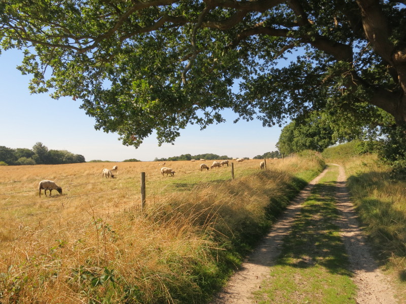
After descending from the higher ground, I am back by the marshes, but
still a modest way from the river.
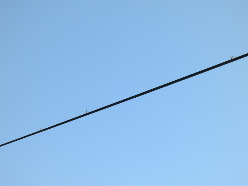
Dragonflies perched high above me on the electricity cables.
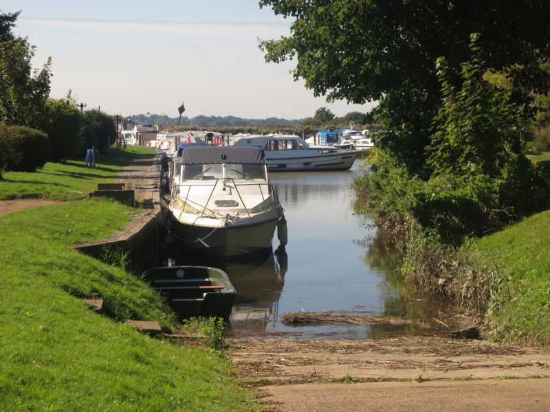
Getting close to the river as I pass by Somerleyton Marina
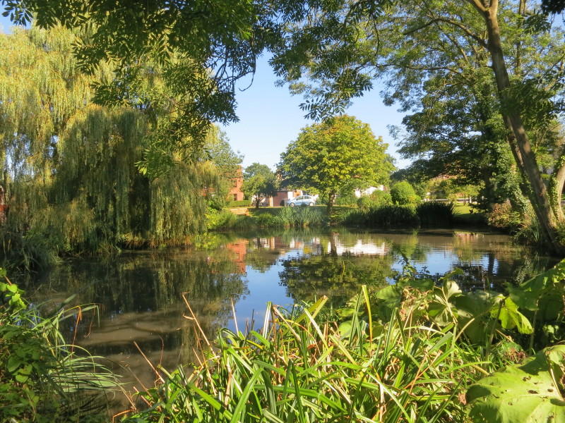
More water, passing a pond in Somerleyton village, where I was stopped
by the driver of a car to ask for directions.
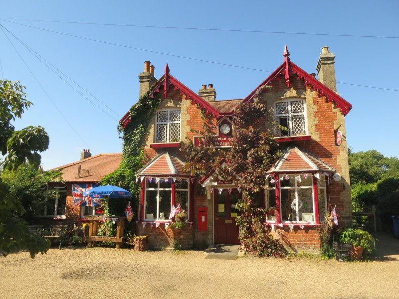
The cheerful and pretty Somerleyton village shop and tea rooms, with a
notice asking for the person who stole items from outside the shop to
either return them or pay for them.
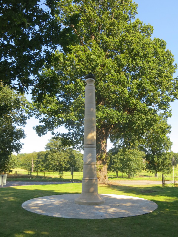
A column bearing an inscription which circles the post and is therefore
somewhat challenging to read without getting dizzy:
This column was raised in 2010 to commemorate
the invention of the hovercraft in 1955
on the River Waveney at Somerleyton
by Christopher Cockerell engineer 1910-1999
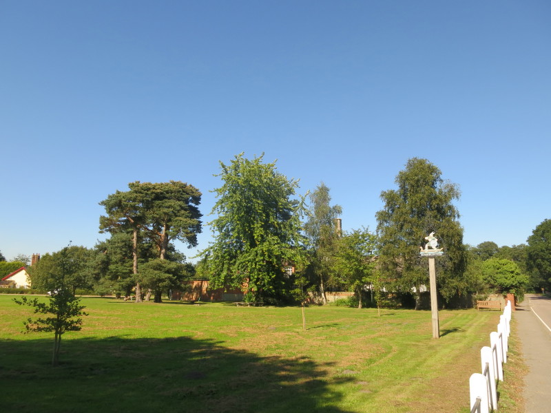
The village green at Somerleyton
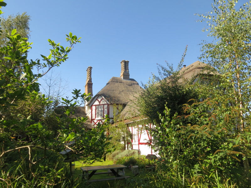
A thatched timbered building with decorative chimneys and a busy garden.
Someone's treasured home? No, it is the village school.
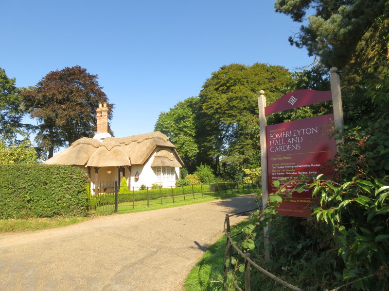
The entrance to the Somerleyton Hall estate, glimpses of the hall being
just possible from the road through the trees.
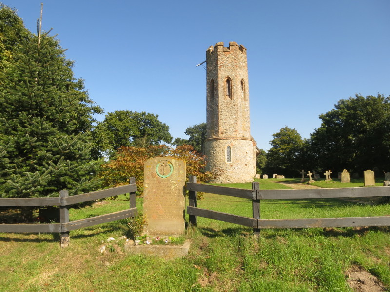
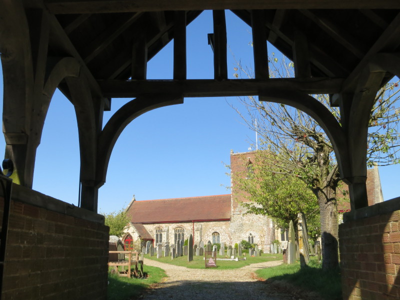
The church of St Mary which lies over a mile from the village of
Somerleyton. It was built in the 15th century and three of its six bells
are from that century. In front is the second of the memorial stones on
today's walk
"Near this place on May 7th 1944 1st Lt Ralph W Wright
Lt Jack W Raper Lt Richard Curran Lt Carl A Herrmann S/Sgt Randolph C
Moore Also on April 8th 1945 Lt Russel P Judd F/O Louis S Davis All of
the U.S.A. 8th Army Air Force Gave their lives in defence of this
country Greater love hath no man than this that a man lay down his life
for his friends."
The first five listed on the memorial were of the
100th Bomb Group stationed at Thorpe Abbotts, nicknamed the "Bloody
Hundreds". A number of Flying Fortresses set off on the early morning of
May 7th, 1944, for a raid on Berlin. One caught fire before it reached
the east coast. Several dozen signal flares in cartridges stored in the
top turret compartment, for some unknown reason, started to explode and
set on fire the entire front of the plane. Though the top turret gunner
tried to put out the flames, the cabin was filled with smoke. Moving to
the forward hatch to make his escape he found it blocked by the body of
a man whose parachute was outside the plane. Five of the crew escaped
through the gun turret while the pilot kept the plane steady, but the
remaining five, including the pilot and co-pilot, died in the crash and
explosion nearby.
The last two names on the memorial commemorate two men
from the American 5th Emergency Squadron based at Halesworth. The second
crash occurred on the 8th April 1945 when they collided in two USAAS P47
Thunderbolts over Fritton Lake, whilst either returning from an air-sea
rescue mission or just practising aerial maneouvres. One went into the
Lake and parts were recovered later from the Lake in 1971 and were
exhibited at Fritton Hall; the other crashed in the field opposite White
Lodge, fragments being scattered over a wide area.
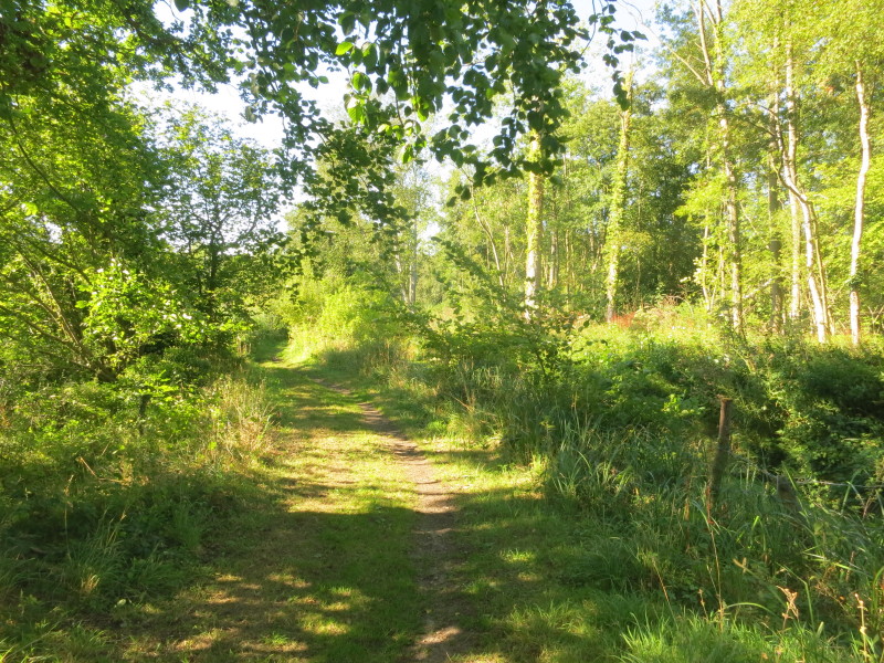
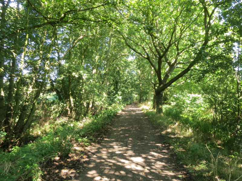
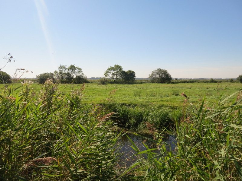
After a long road walk, the last stage of the today's walk takes me on
this pleasant woodland path across the outflow from Fritton Decoy and
thus into Norfolk, from where it is a short walk to the car.
Total walk was 18.6 km in 4 hours 32 mins (15.2 km in 3 hours 47 mins of
progress along the Angles Way). Just one more walk to go, and it will include a
good amount of waterside walking and the opportunity to visit Burgh Castle.


|