The Bembridge Trail, Isle of Wight
12-13 April 2008
The Bembridge Trail is a named walk from Newport in the centre of the Isle of
Wight to its eastern tip at Bembridge. After spending much of Saturday at a dog
show, a couple of hours were available on Saturday afternoon to walk from
Newport to Knighton, and the walk was finished on Sunday. With Lucy as
chauffeur, Stephen was able to travel light, to keep swapping dogs, and to be
ferried to a decent pub for Sunday lunch mid-walk. What luxury!

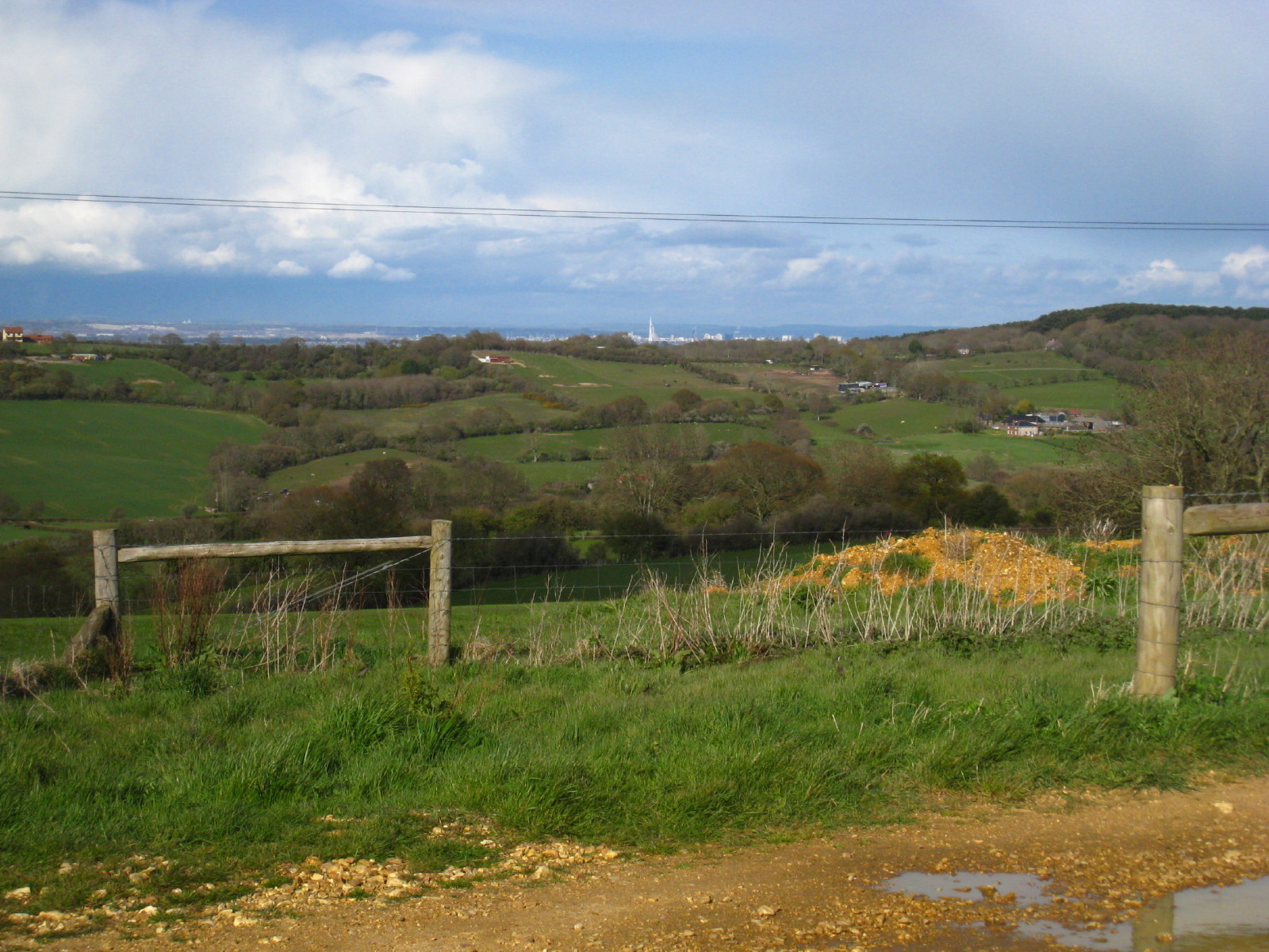
A short way from Newport, and a climb onto the downland ridge provides views to
the north across the Solent to the new tower in Portsmouth

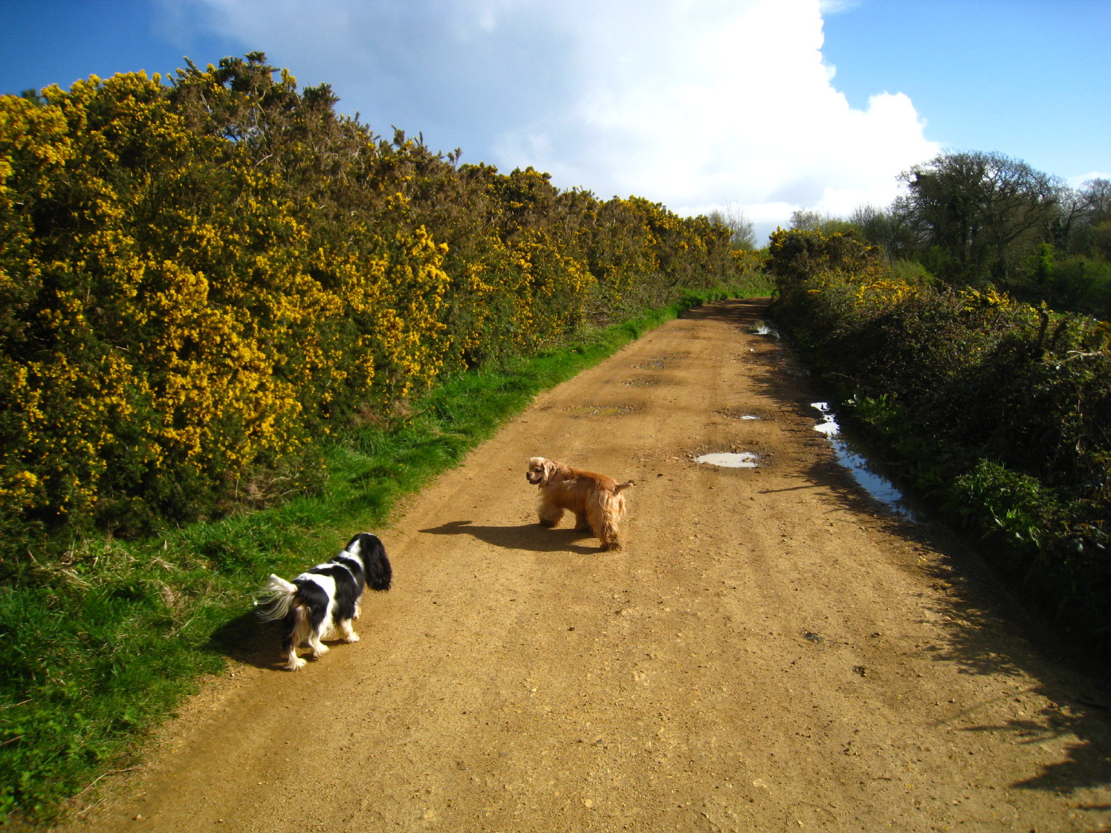
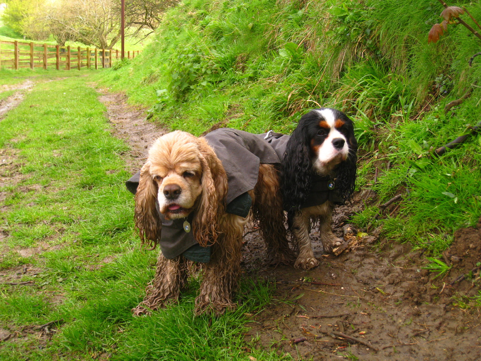
Ellie and George enjoying the sunshine, and glad to be out of the damp
show-ring. George won best of breed (out of one, but still!)
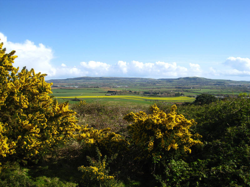
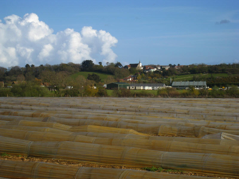
Looking south-east to the hills beyond which lie Ventnor

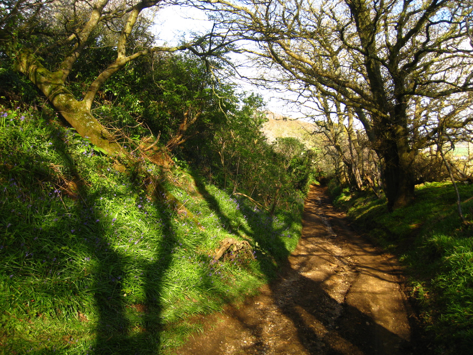
Descending from the ridge, bluebells line the deeply entrenched lane.
Continuing the second leg of the Saturday afternoon, Henry is the new companion
for a more agricultural section from Arreton to Knighton
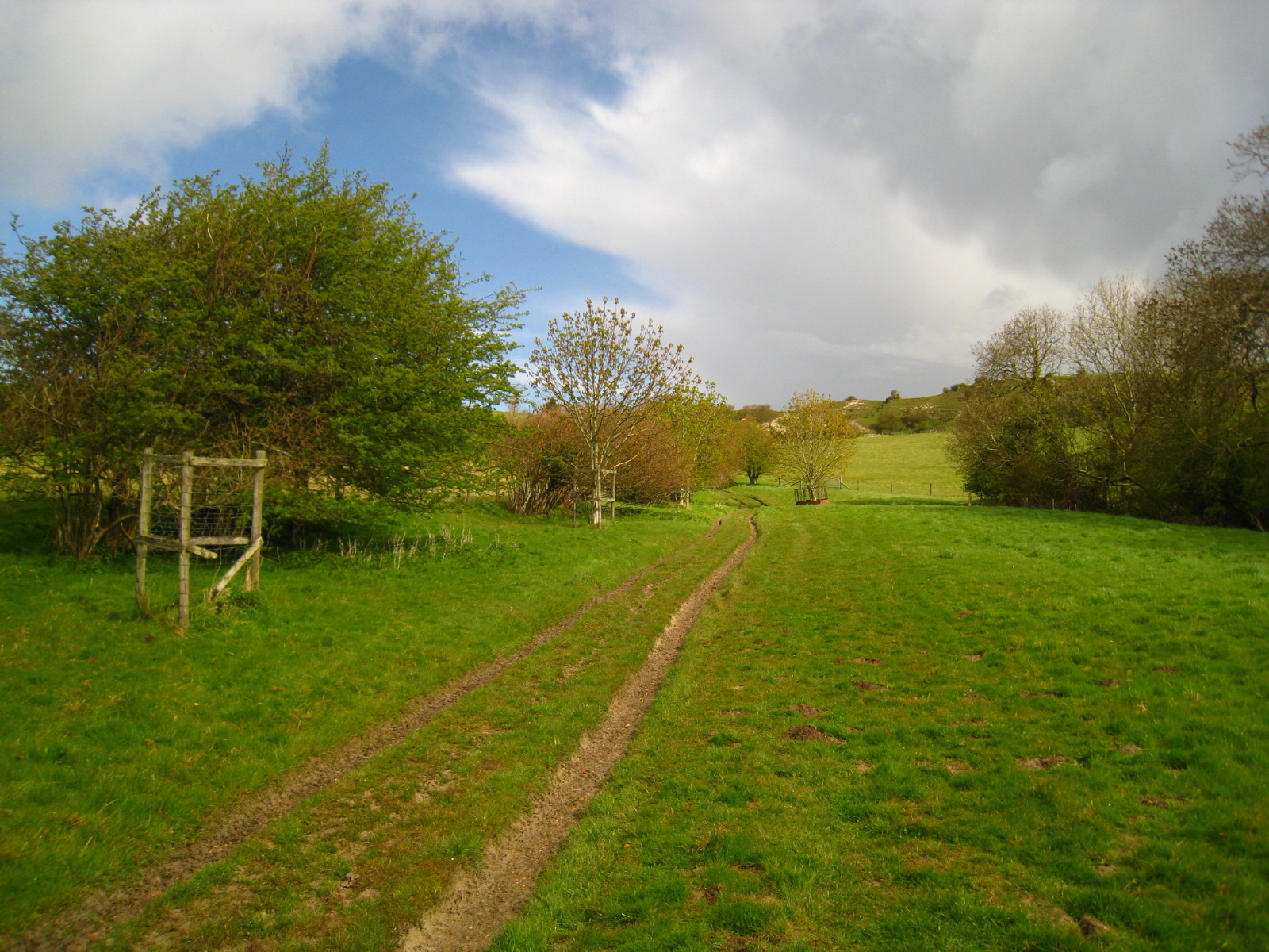
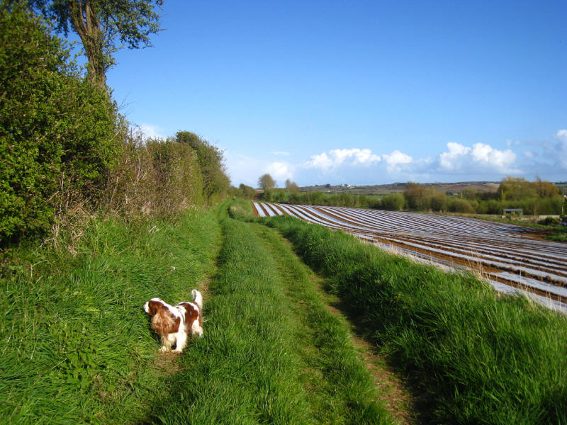
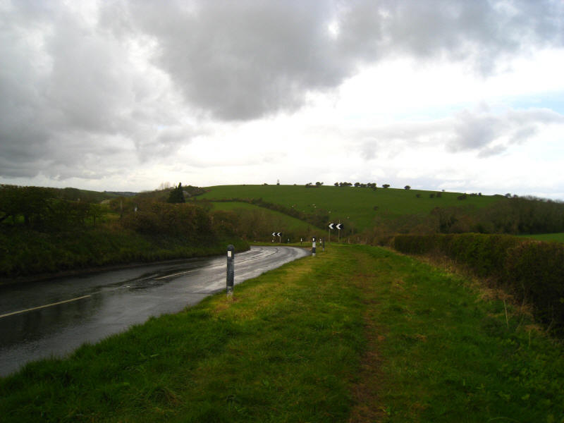
Looking north from the path across fields to the ridge - as the road has taken
to the ridge, the Bembridge Trail has descended to lower ground to avoid it.
Newchurch across fields
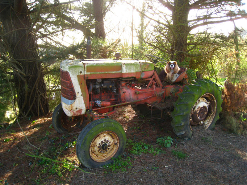
Henry on his sixth birthday thinks he is old enough to drive

Sunday morning, and after overnight rain George and Ellie accompany me
eastwards.
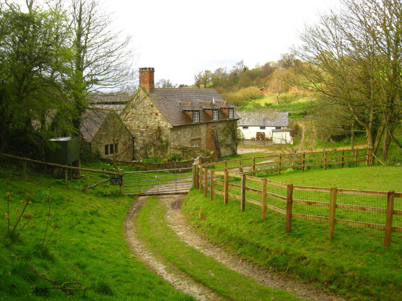
Kern, which the path skirts

A heavy shower meant that the dogs and I donned our waterproofs.
Climbing back onto the ridge
From the road along the ridge of Brading Down, looking back to the west where a
strange object sits atop a hill. It might almost be a trig point, except that it
is much too big. It is a sea mark, dating from 1735.
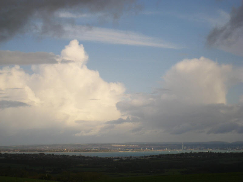
As the Isle of Wight lies under rain clouds, the Solent, Gosport and Portsmouth
are in the sun.
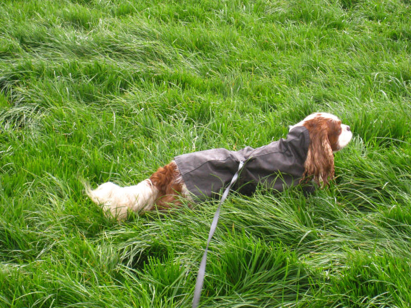
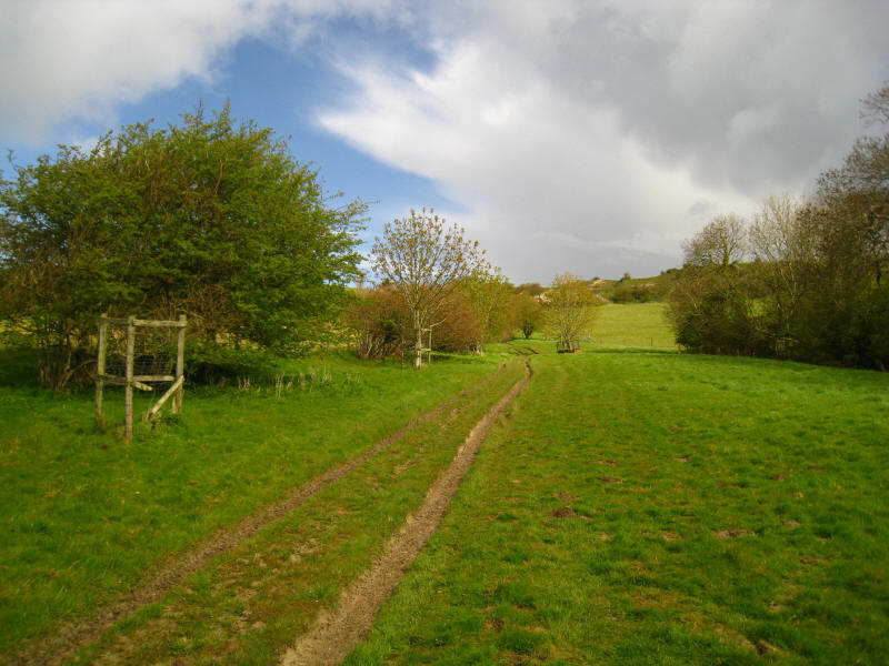
Henry joins me again for a lowland section towards Brading, going through lots
of deep, very green grass
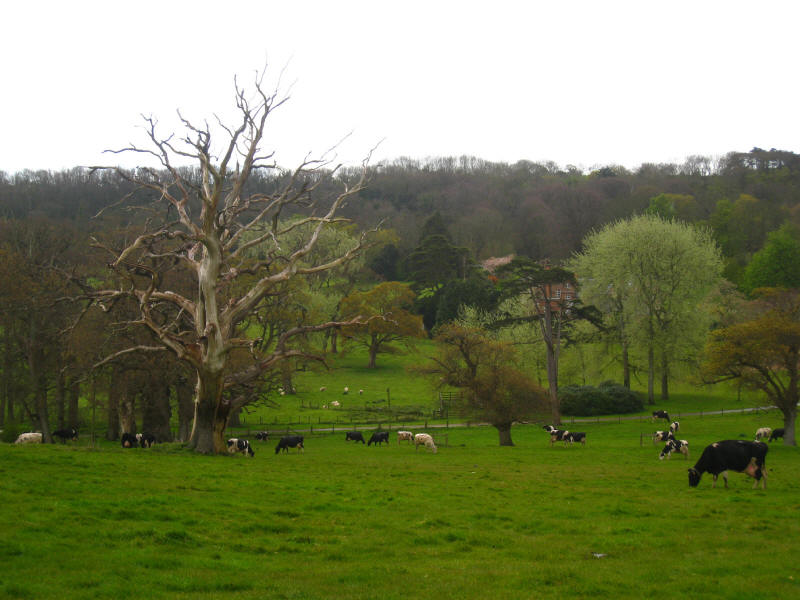
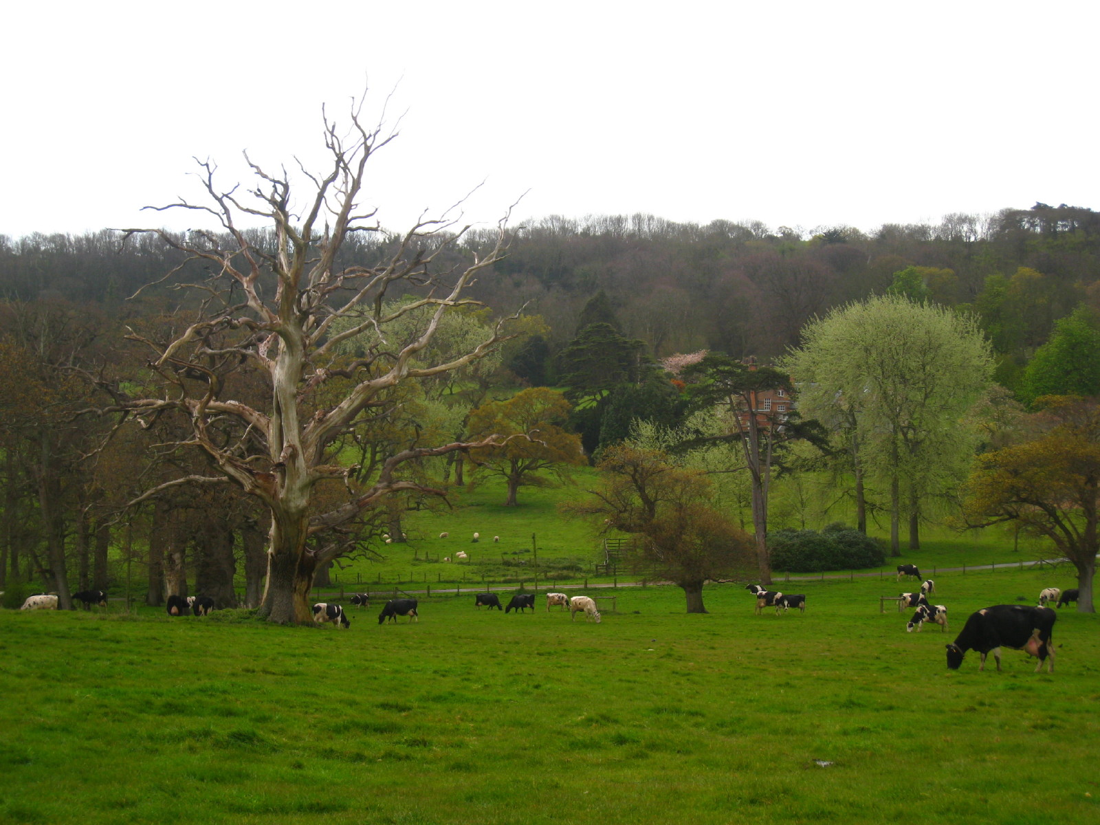
Cows enjoying the grass

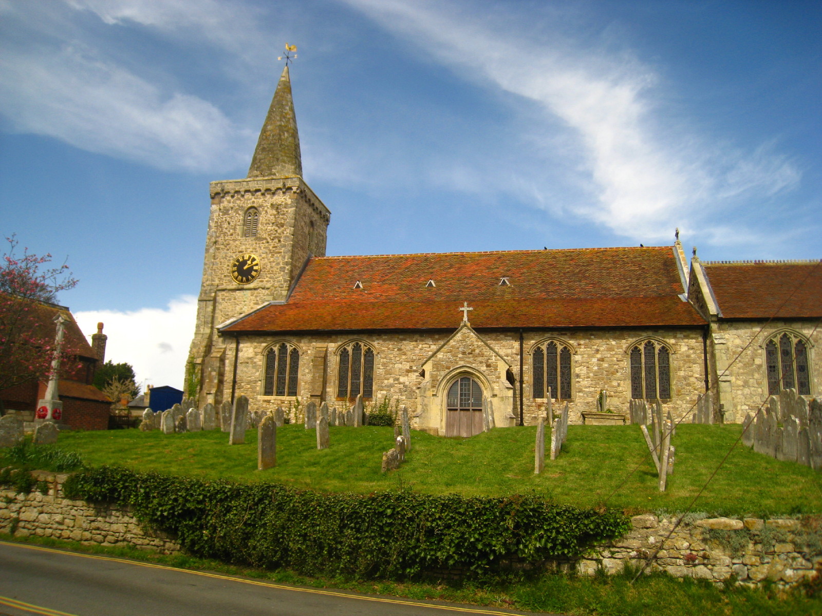
Brading church as the final section is begun after a lunch at the Crab and
Oyster Inn at Bembridge
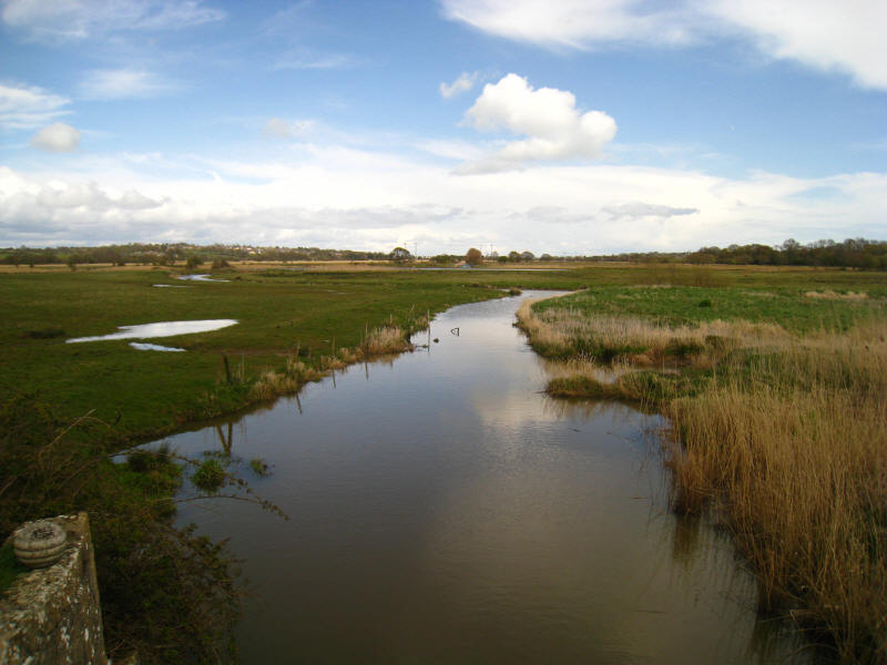
The River Yar heading towards the sea. Much of the rest of the walk is through
nature reserves on the marshland of the river.
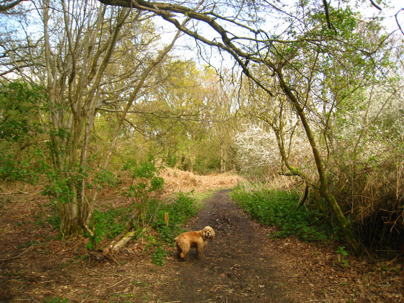
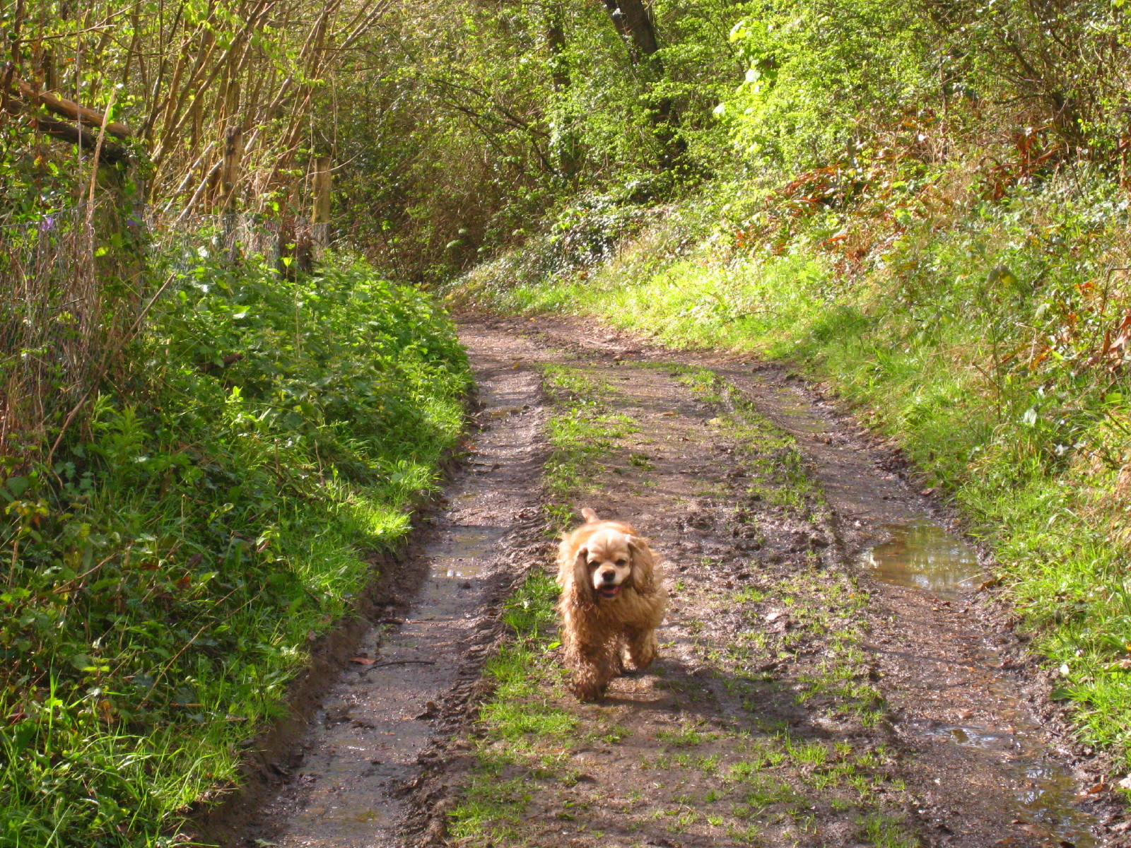
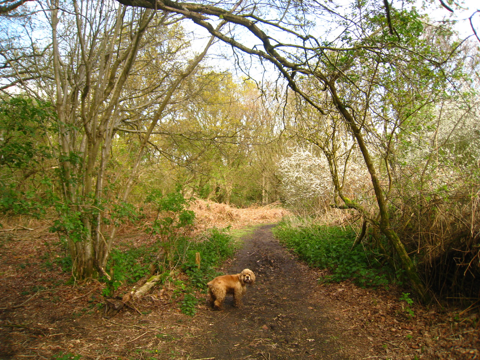
George in woodland, part of a nature reserve by Centuryion's Hill
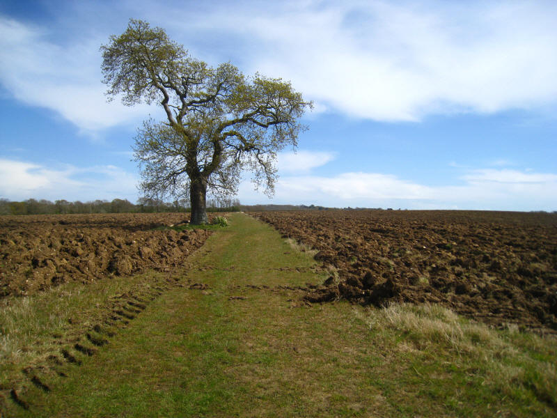
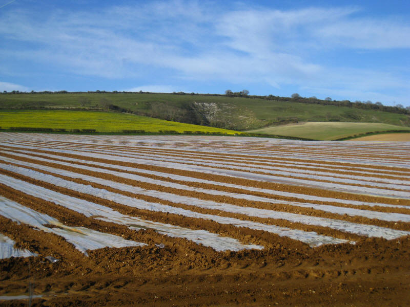
An unploughed strip of green shows the route of the public footpath across this
field
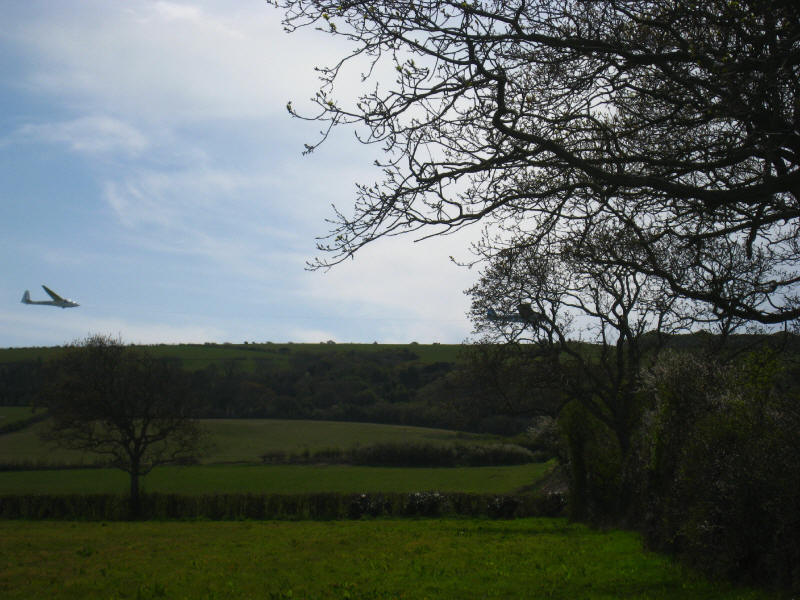
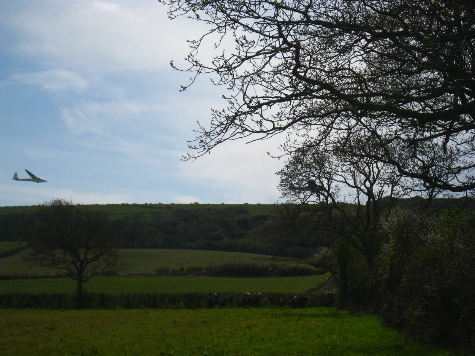
Just disappearing behind a tree, an aeroplane pulls a glider up into the air
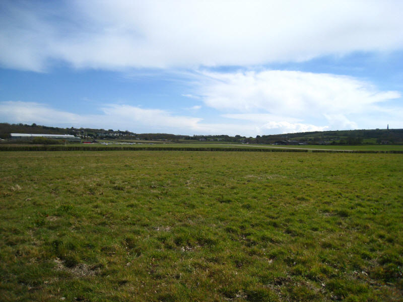
Bembridge airport, with the monument on Bembridge Down just visible on the
horizon on the right
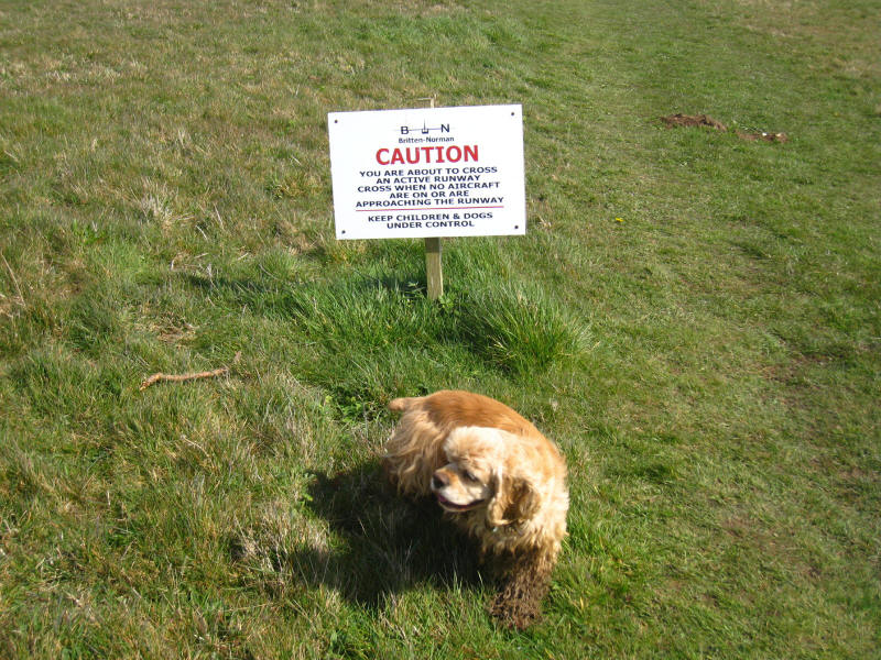
George being under control about to cross the runway
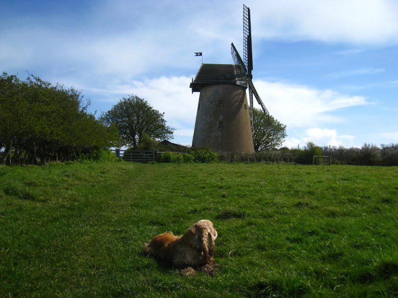
Bembridge Windmill, the last windmill on the island, and made famous in a
painting by Turner. It is owned by the National Trust and open to visitors.
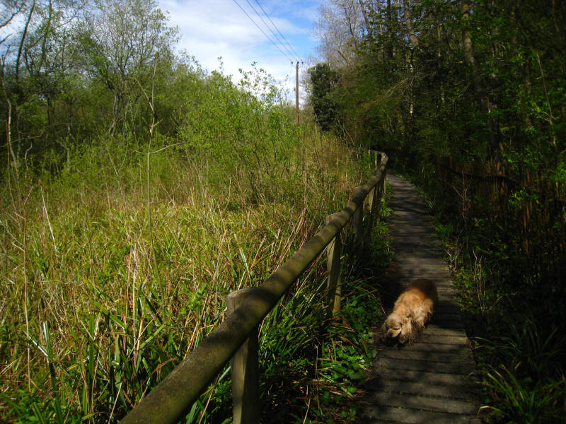
Making our way along the boardwalk by the edge of the marshes, approaching
Bembridge Point
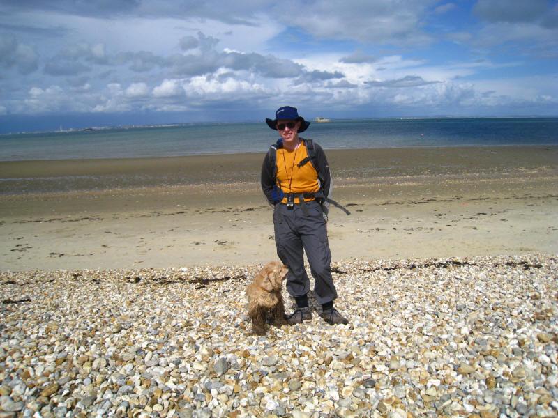
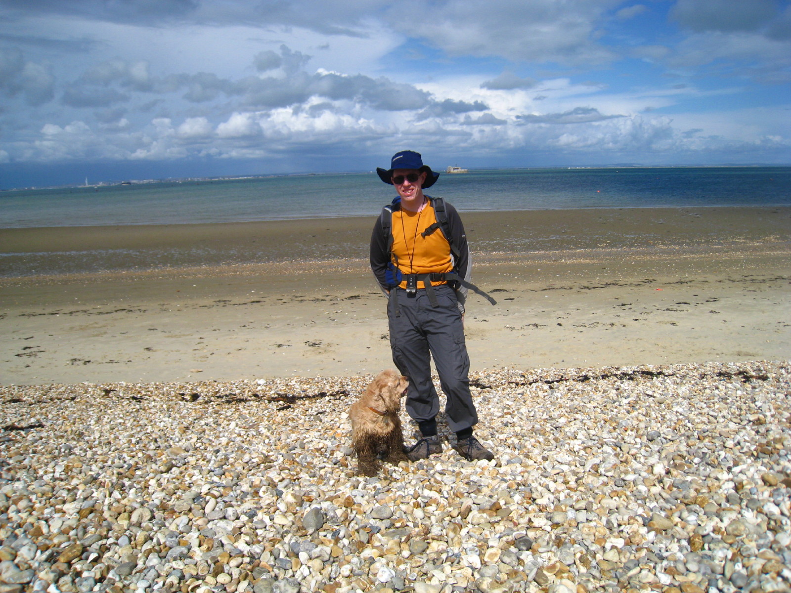
George and Stephen at journey's end, at Bembridge Point. Portsmouth is behind to
the left of photo, and St Helen's Fort is just to the right of centre.
Zoom in for more detail, or see map in larger window: Ordnance Survey |
Open Street Map |
Google Maps
Total walk 20.1km in 4 hours 22 minutes.
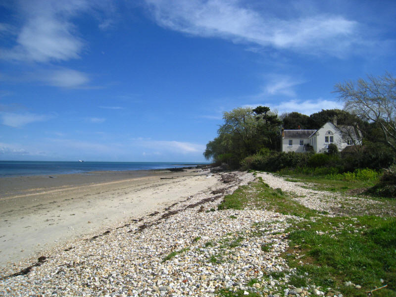
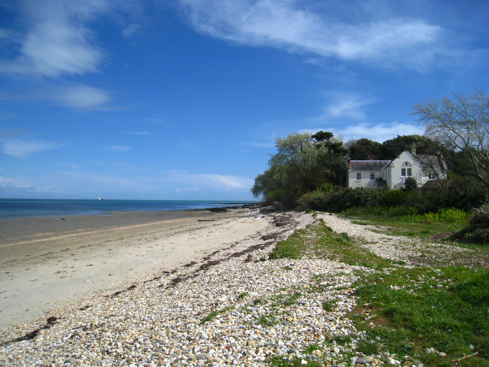
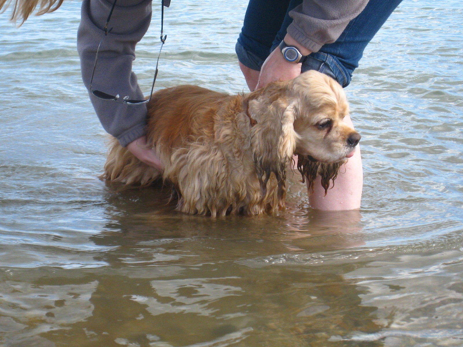
The beach at Bembridge Point.
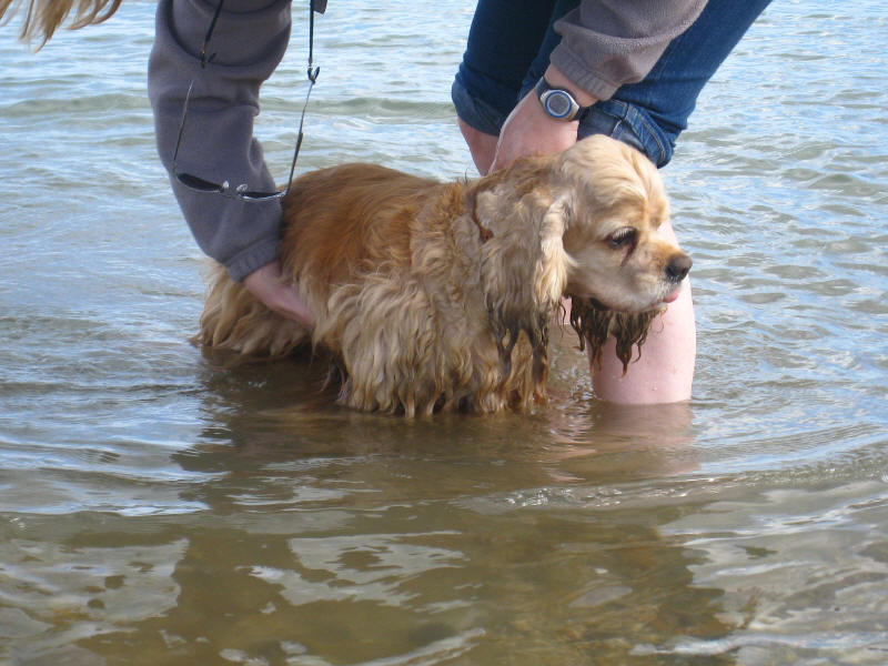
From there we went to the delightful beach to the east of St Helens, where
George had a bath in the sea, and we had an ice cream sitting by the seaside.
Lovely. Soon afterwards, it was time to catch the ferry back to the mainland,
but we'll be back.
|