London Loop Walk 2:
Chigwell to Noak Hill
28 January 2006
Having enjoyed the first of my
London Loop walks,
from Enfield Lock to Chigwell, this morning I continued from Chigwell, doing
section 20 and half of section 21, ending at Noak Hill.
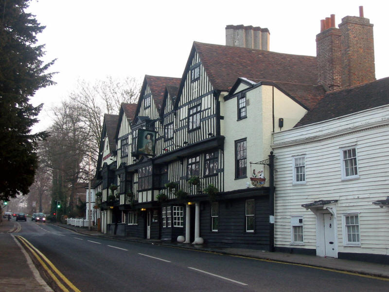
Ye Old Kings Head in Chigwell is said to be the most famous pub in Essex, and
featured in Charles' Dickens Barnaby Rudge, where it is described as
having "more gable-ends than a lazy man would care to count on a sunny day". The
pub was a favoured haunt of Dick Turpin the highwayman. They used to do a jolly
good carvery too - but as I haven't eaten here for some years, I can't comment
on whether it still does.

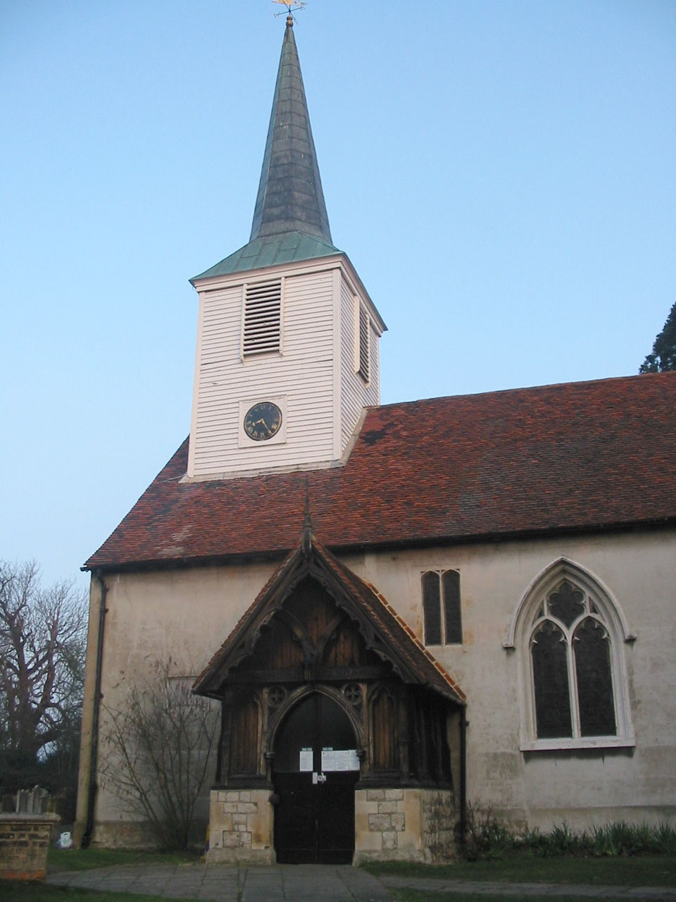
St Mary's church in Chigwell, site of a quarter-peal outing by the
St Andrew's bellringers a few
years ago.
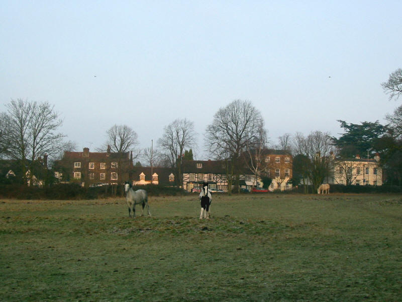
Horses come to greet Stephen and George as we leave Chigwell
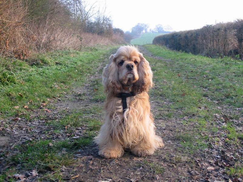
George on Pudding Lane
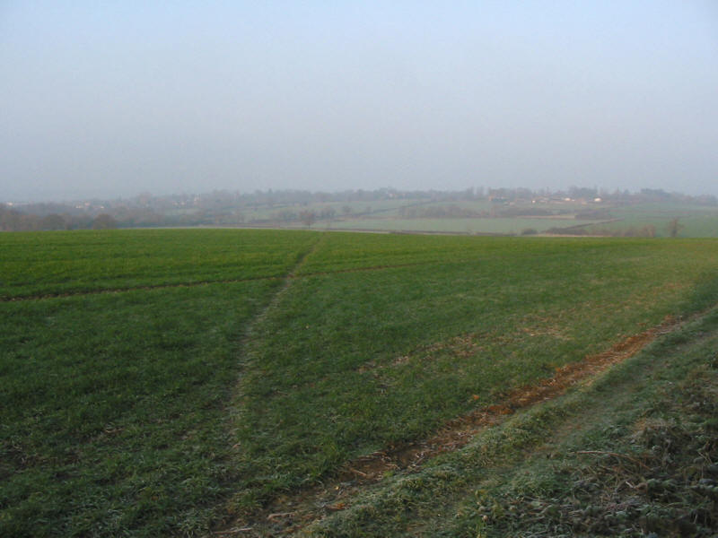
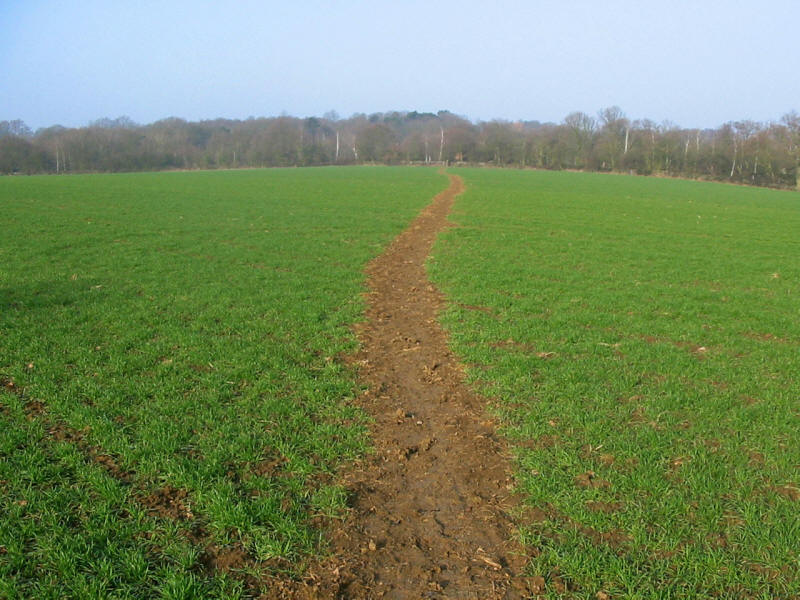
Considering how urban the area feels when driving the Essex/London borders, the
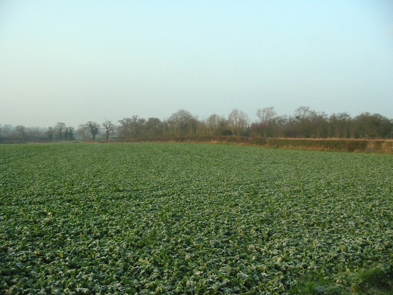
walk today was remarkably and almost completely rural.
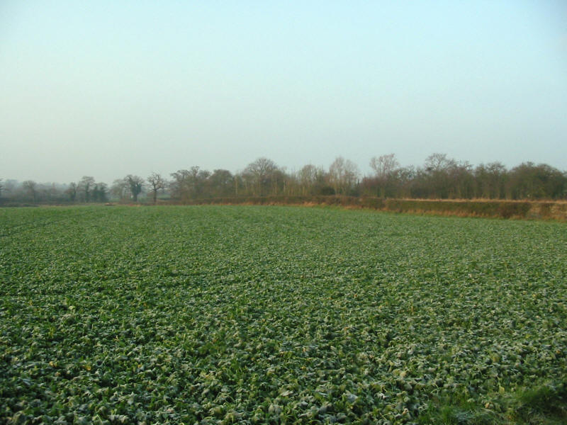
Fields between Chigwell and Chigwell Row. This small section of the London Loop
shares the route of the Three Forests Way.

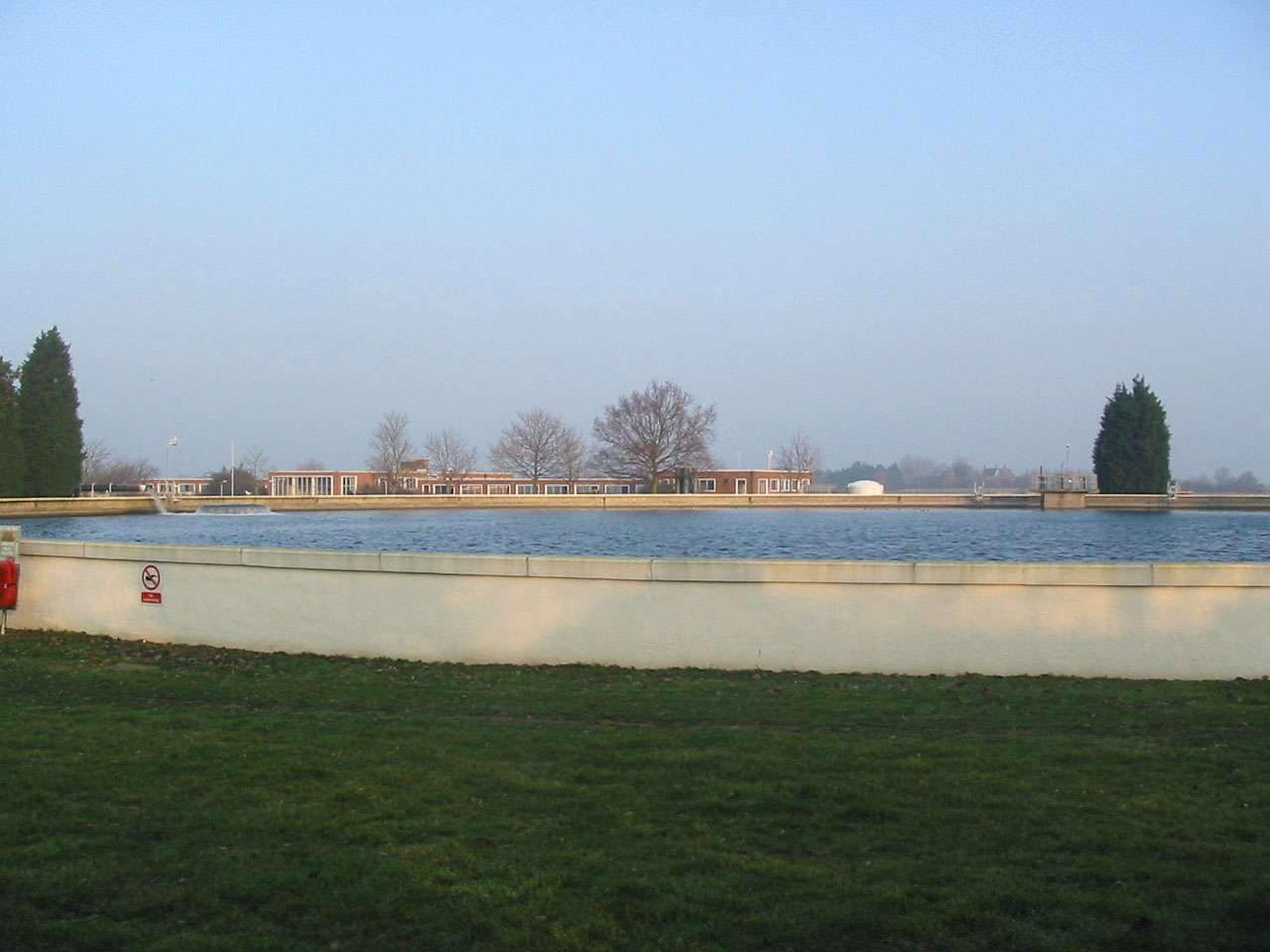
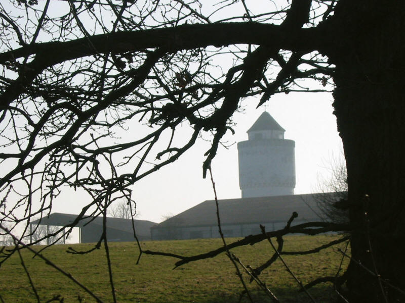
The reservoir at Chigwell Row waterworks
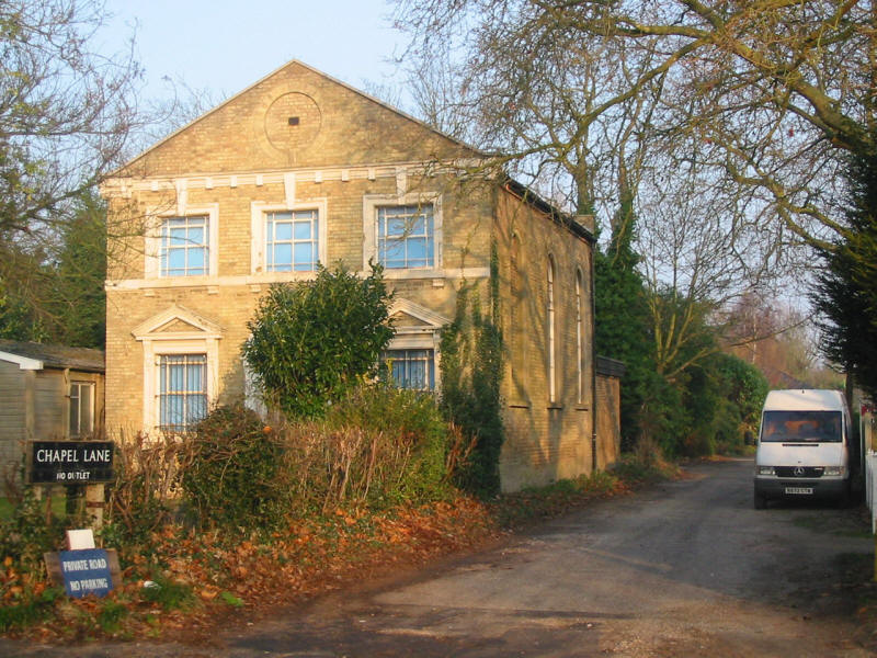
The yellow-brick building is the chapel which gives this road its name
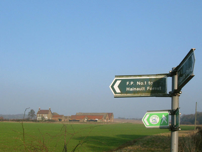
Having run the gauntlet of the A1112 Romford Road dual carriageway and its
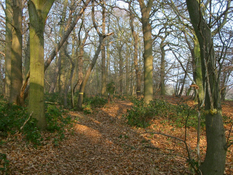
ice-covered pavements, George and Stephen enter Hainault Forest Country Park, a
Site of Special Scientific Interest. One of the LOOP's subtitles is "the M25 for
walkers", and this phrase came to me as we walked along this track. Quite a
contrast with its namesake.
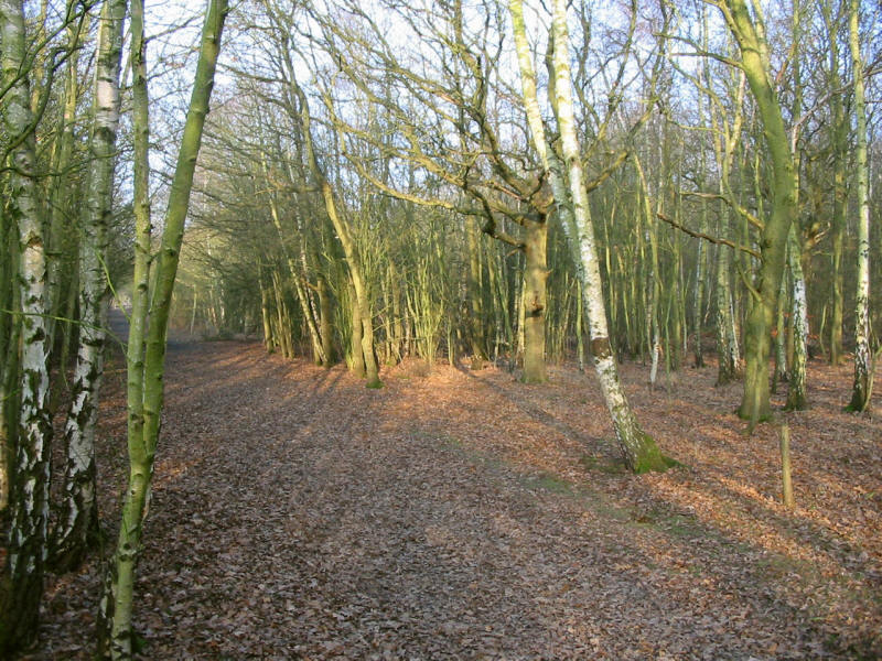
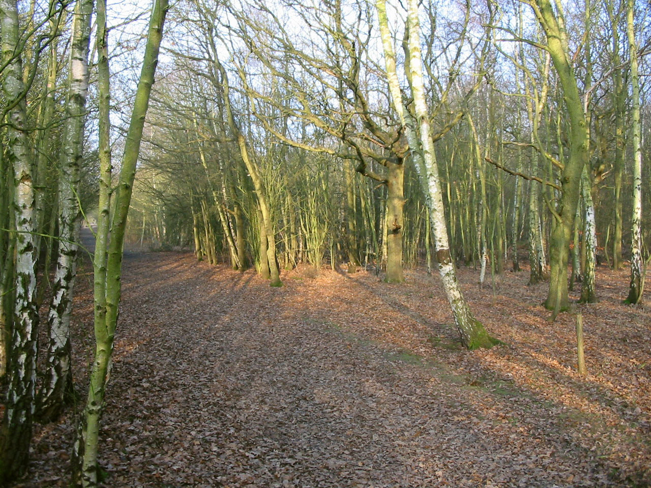
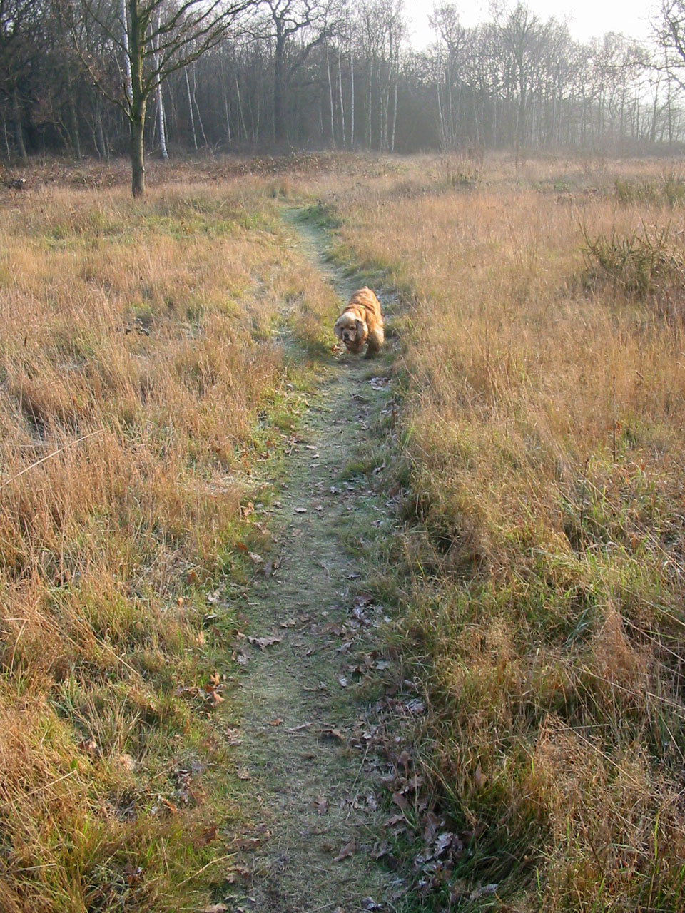
Young birch trees in Hainault Forest Country Park
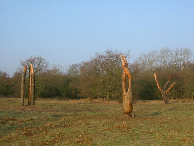
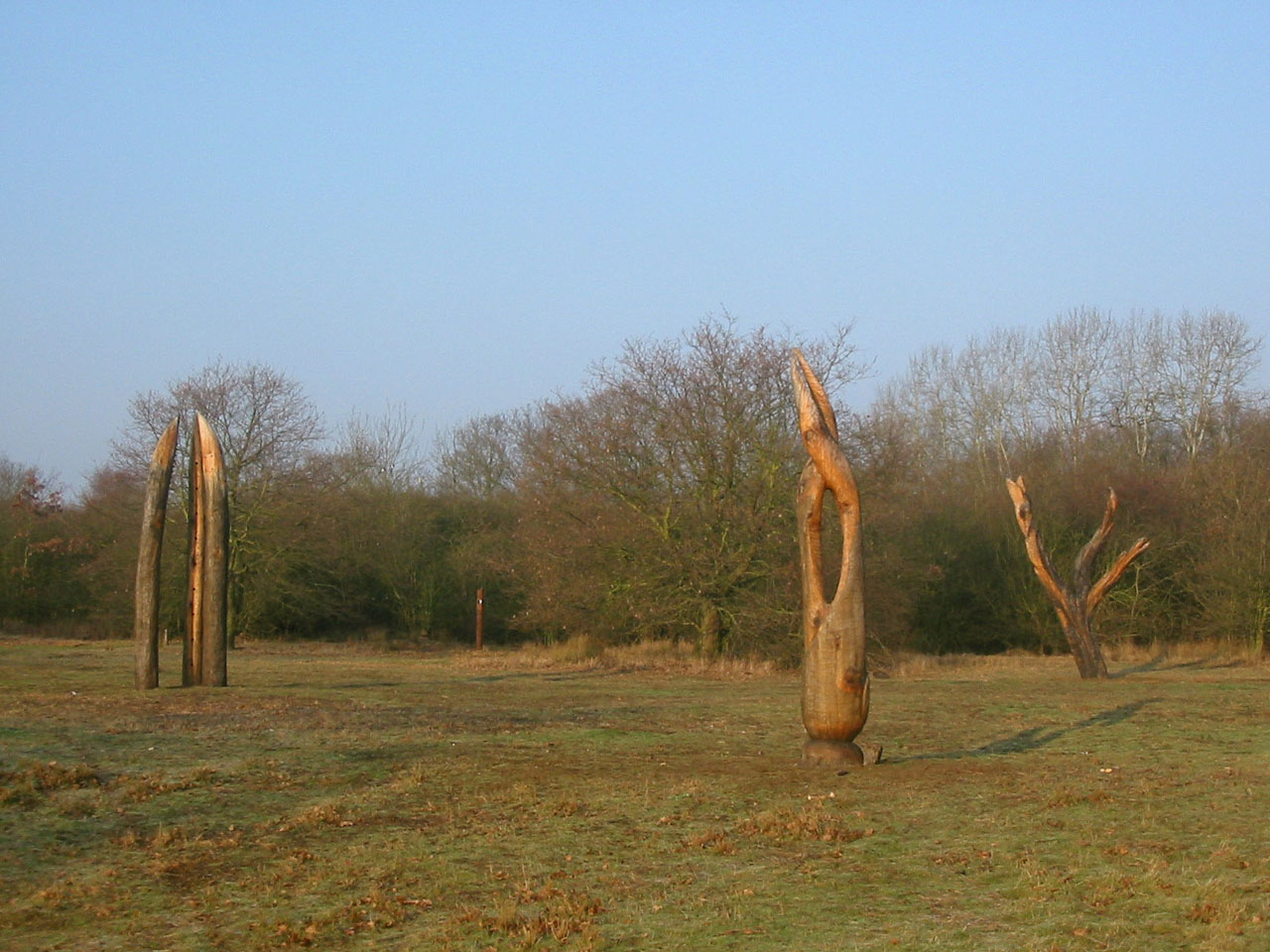
Art in the forest

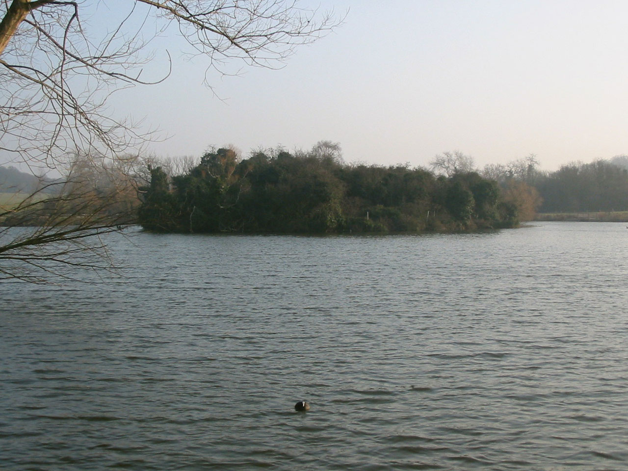
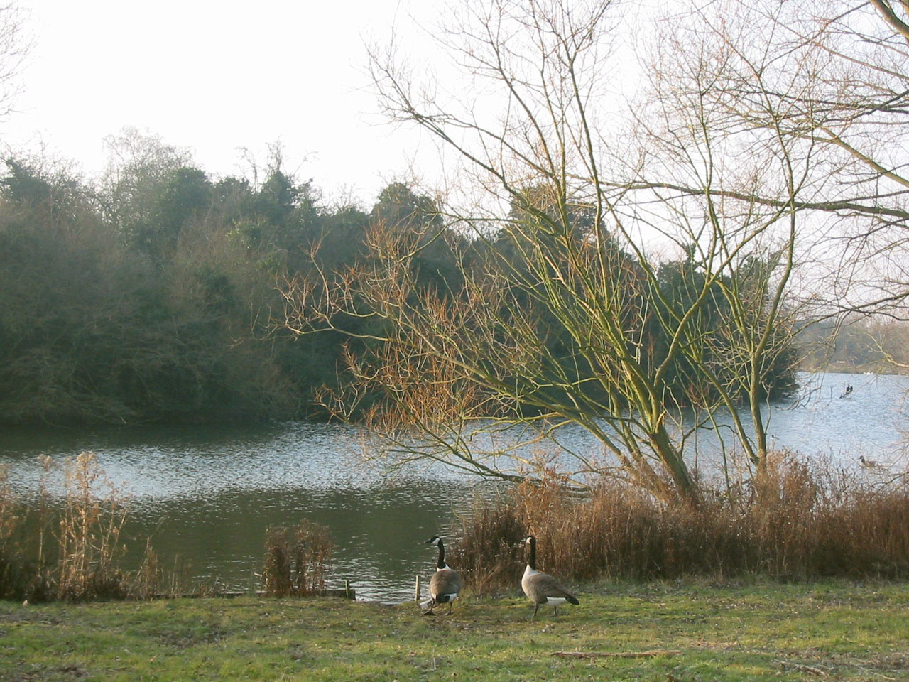
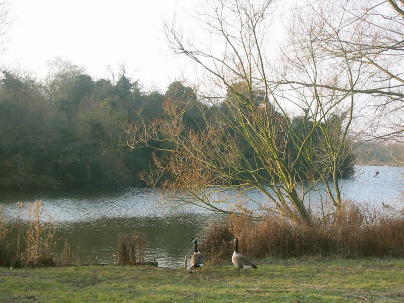
A lake in the country park
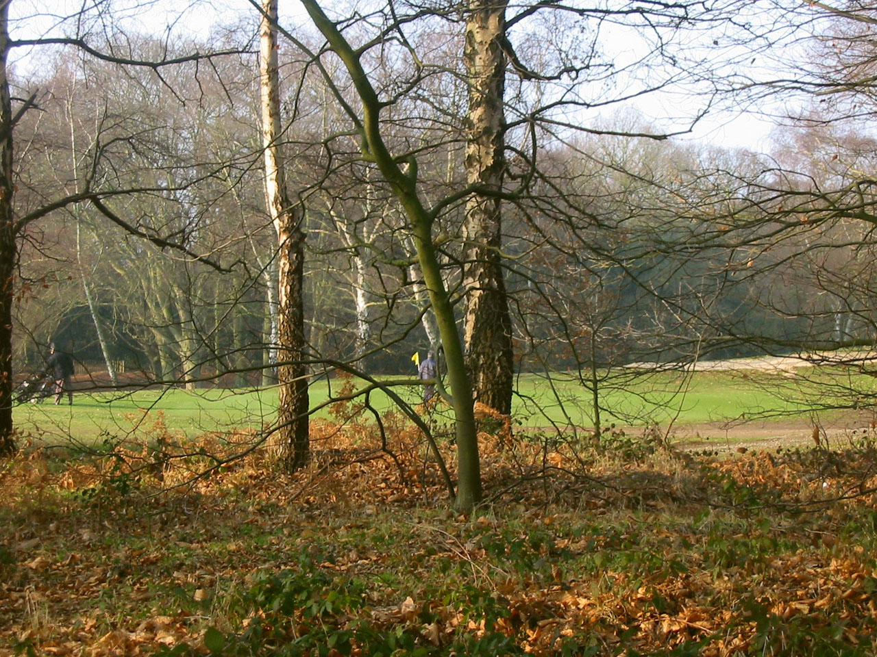
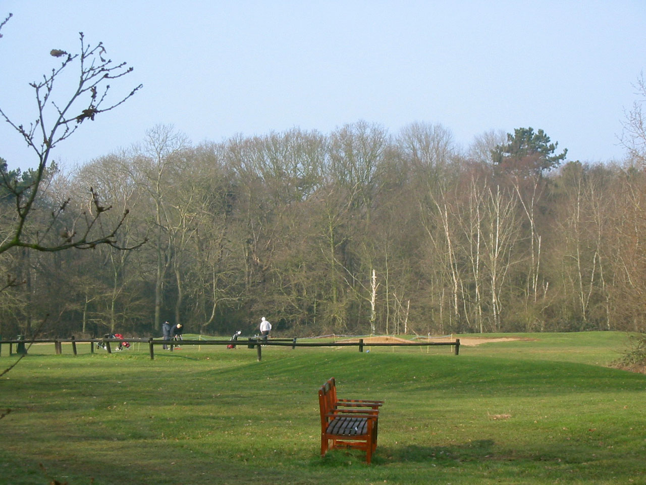
Navigating through Hainault Forest Golf Course, we walk along the Mile
Plantation, following the yellow-striped trees.

Golfers on this beautiful morning

Emerging from the trees, the yellow markers and waymarker posts completely
disappeared, just when we needed them most.
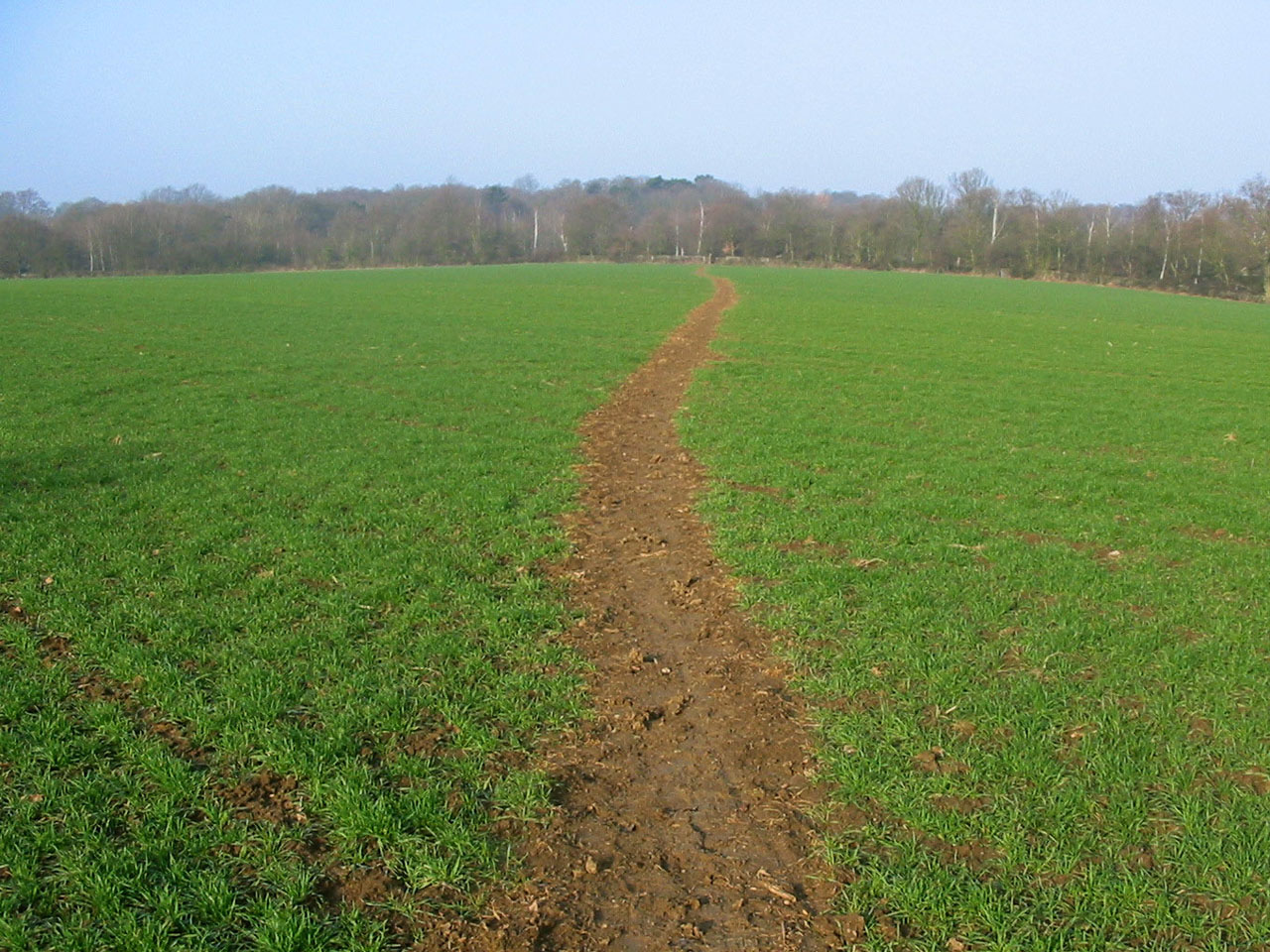
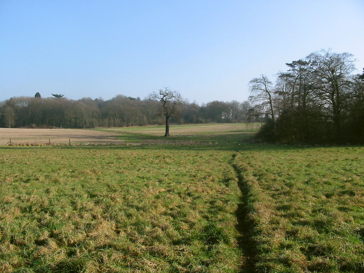
However, we found our way out of the golf course and across this field
Looking back to Park Farm

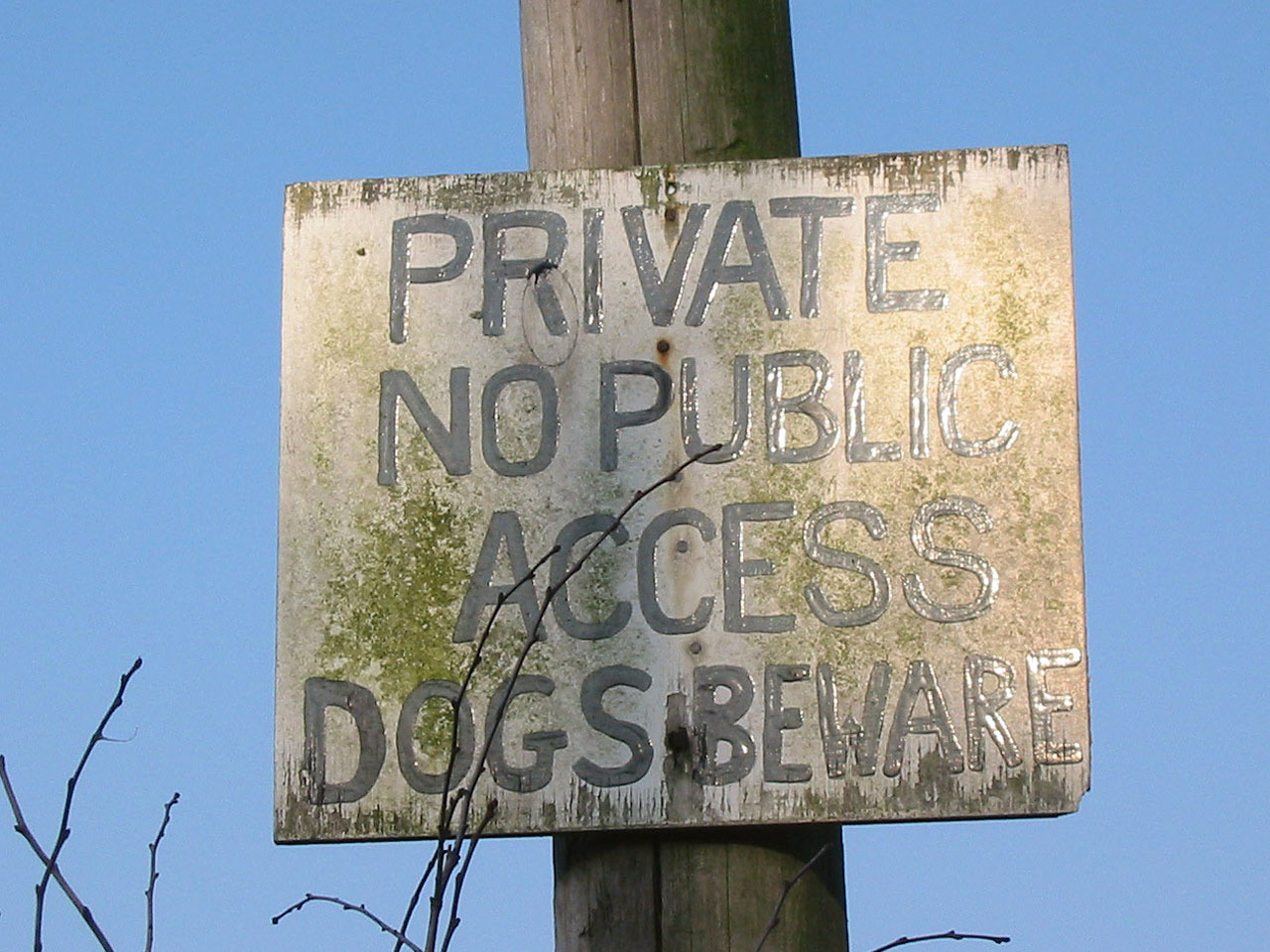
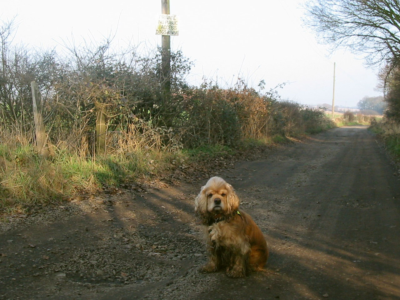
"Dogs beware" says the sign...
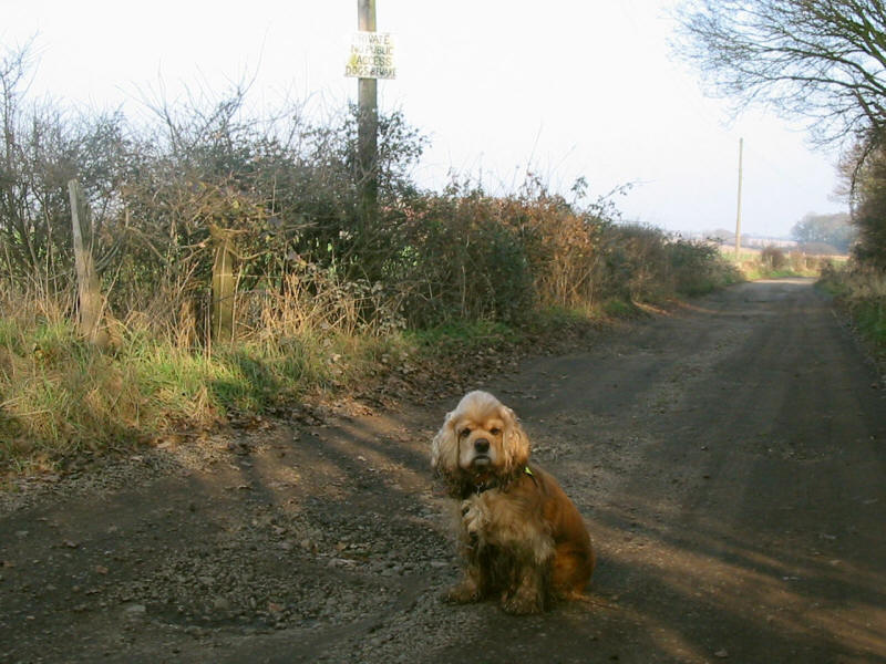
...but George looks fairly relaxed
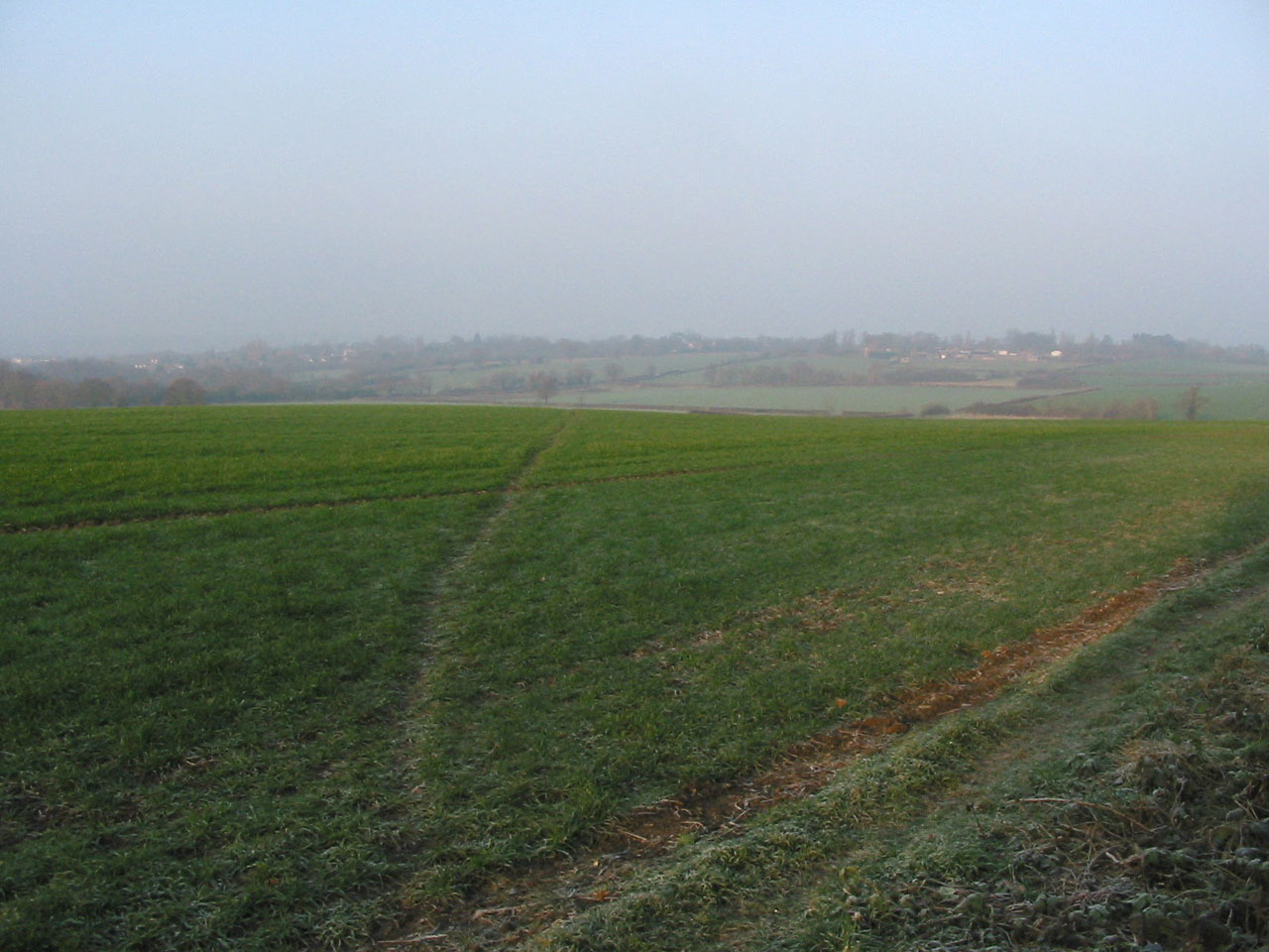
Climbing onto the ridge on the edge of Havering Country Park, we look across
Havering Park to Park Farm again
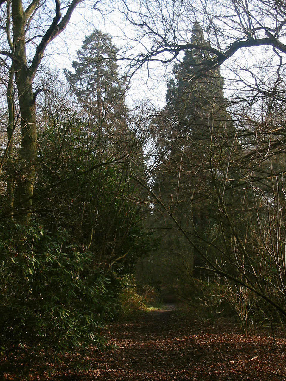
Walking along Wellingtonia Avenue, these sequoia trees tower overhead. Planted
in the 19th century, they will perhaps for future generations eventually rival
their native relations in California where they can live for over 2000 years,
growing up to 110 metres high and 7 metres in diameter.
Passing an equestrian centre, we arrive at the village green at Havering, just
about the end of section 20, and time for a short break on a handy bench. A
royal palace once stood where the green now is: Edward the Confessor established
a holy retreat, followed by William The Conqueror and King John with hunting
lodges. A royal palace gradually developed, but was last used by Charles I, and
now no trace remains.
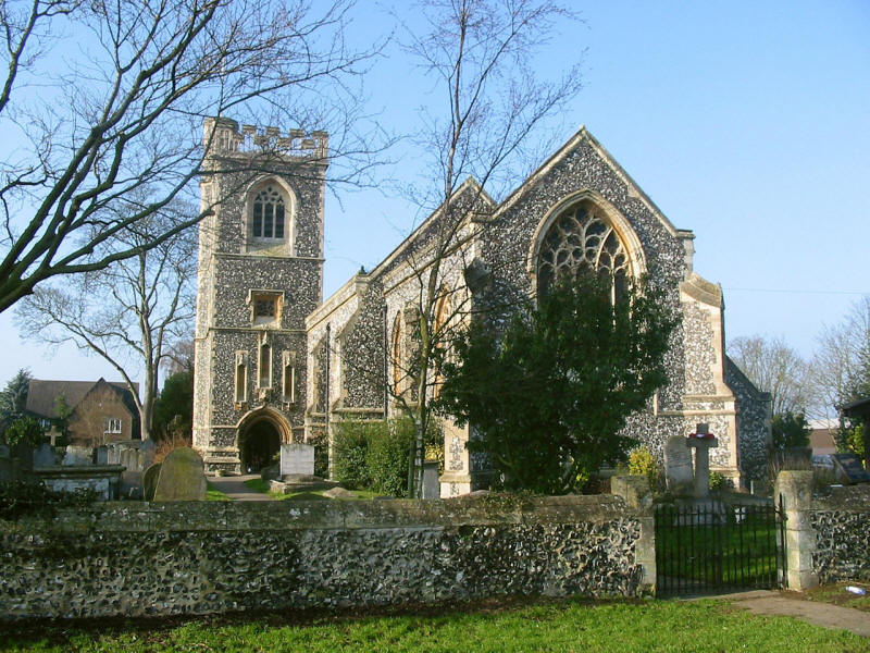
The church with its unusual tower: the archway at the bottom goes right through
the tower.
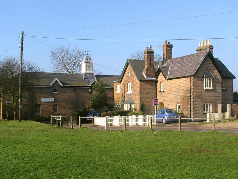
Houses on the village green
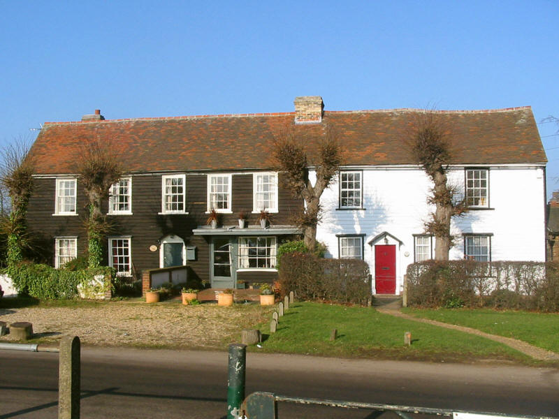
Roundhouse Farm: the Round House was once the home of Joseph Hardwick Pemberton,
a famous rose breeder. The round building seen here is a water tower built in
1934: the real roundhouse is 200 metres to the west. (Thanks to Adam Bootle for
this information.)

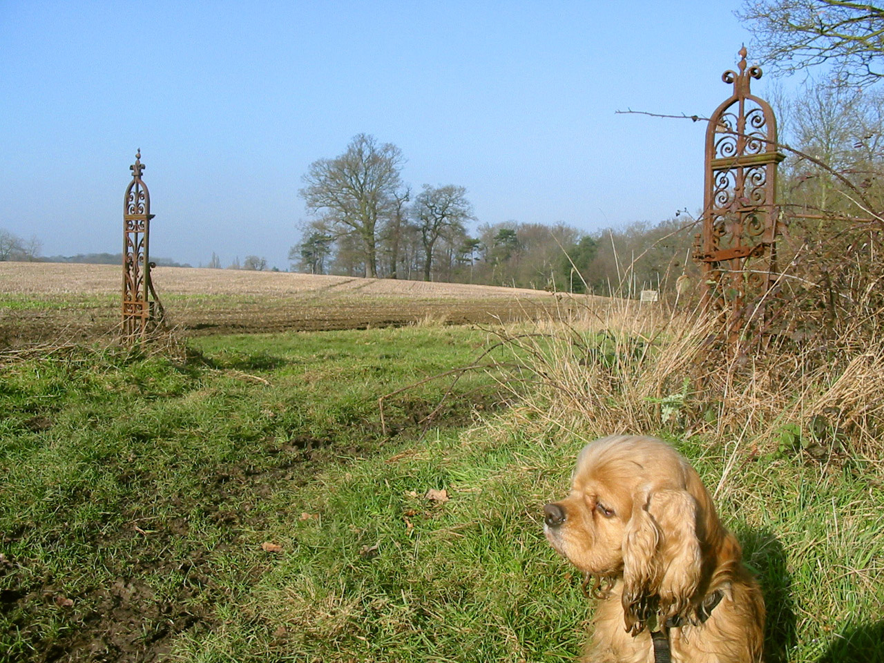
Heading across Pyrgo Park
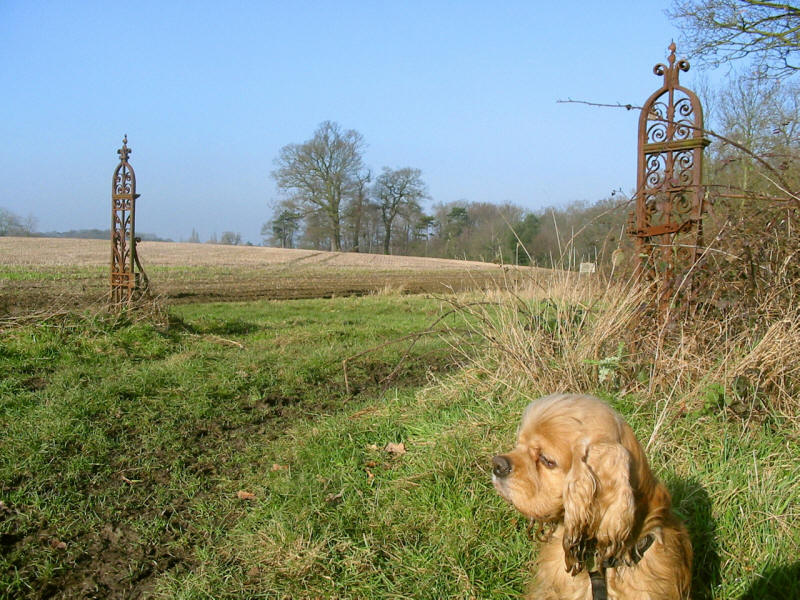
These gate posts are all that remains of another royal palace, at Pyrgo.
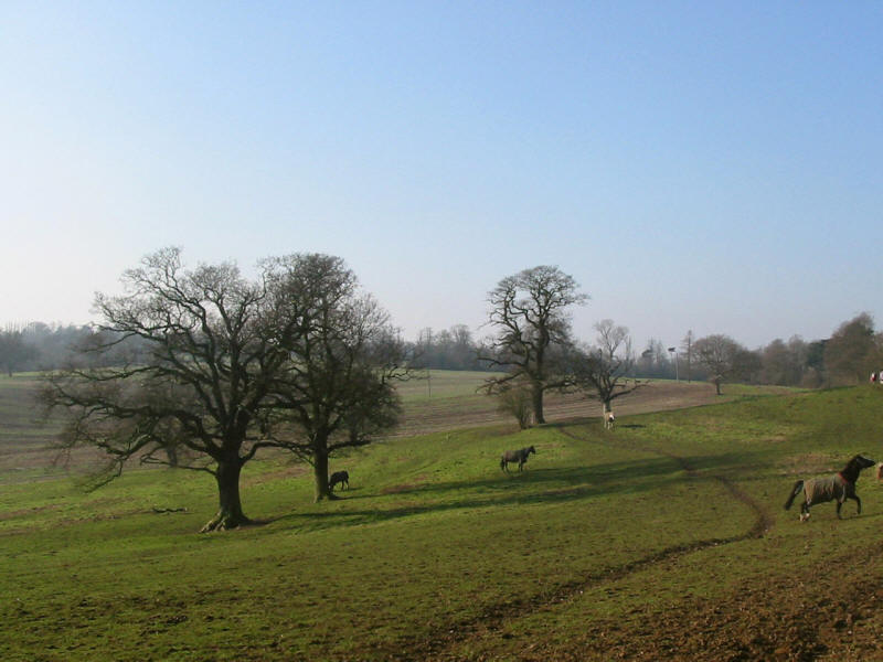
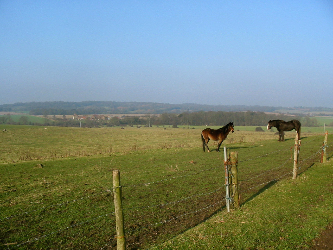
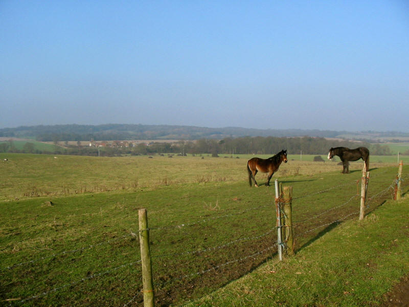
More horses. A noticeable feature of this walk so far is what a large proportion
of "agricultural" land is devoted to horses.
Just after this I met my first fellow LOOP walker. He'd started at the official
start point at Erith, and so was nearing completion, though he seemed to have
made a good deal more wrong turns than I so far. I've used the free leaflets
provided by The Access
Company which are good, though unfortunately as I write this they are out of print for
many
stages. These confidently state that "the route is well marked" which is
something of a unjustified generalisation. The quality of the waymarking is variable, with
that by Epping Forest District Council being poor (with not a single mark seen
between Chigwell and Chigwell Row), while that by the London Borough of Havering
is excellent.
An enjoyable morning: next time onwards around Romford to Upminster.
Section 20: 10.1km, 2 hours 45 minutes, 201 metres of ascent
Section 21 (first half) to Noak Hill: 3.7km, 55 minutes, 19 metres of ascent
|