Thames Head
Source of the River Thames
13 January 2007
(Note: see also Stephen's walk to Thames
Head in 2009, when it looked very different.)
Today we went out for the day. After lunch at a Little Chef (we thought we
better had while there are still some around) we went for a walk to Thames Head,
the "official" source of the River Thames.
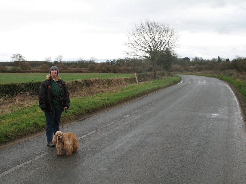
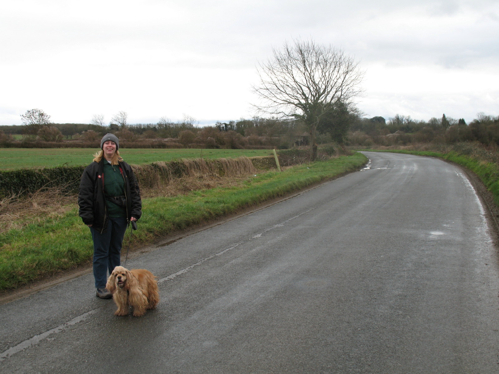
Lucy and George on a road leading to Kemble
We then turned off along the Wysis Way - a path which runs for 88km from the
River Wye to the River Thames, linking the Offa's Dyke Path and the Thames Path.
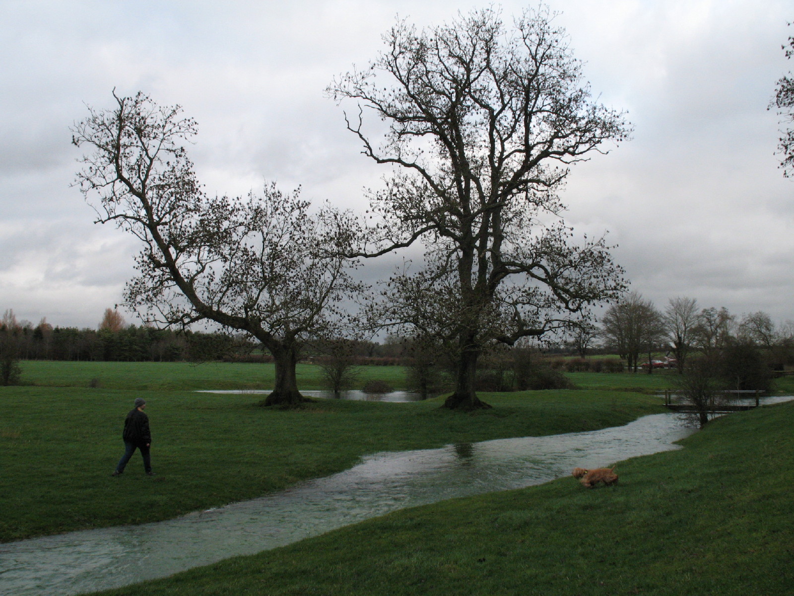
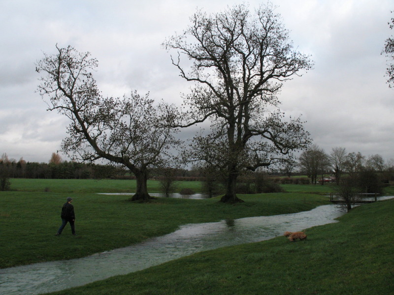
Lucy and George have taken different sides of a stream which is unnamed on the
Ordnance Survey 1:25 000 map, but which today contained a lot of fast-flowing
water. Behind the trees and the footbridge can be seen our first glimpses of the
Thames.

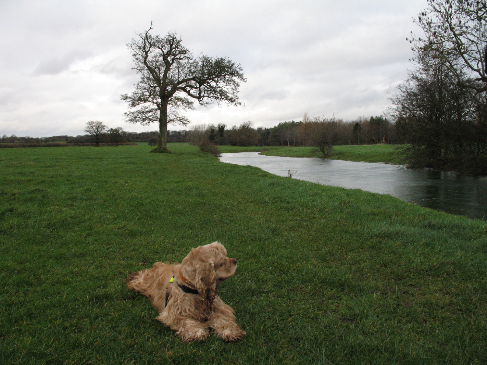
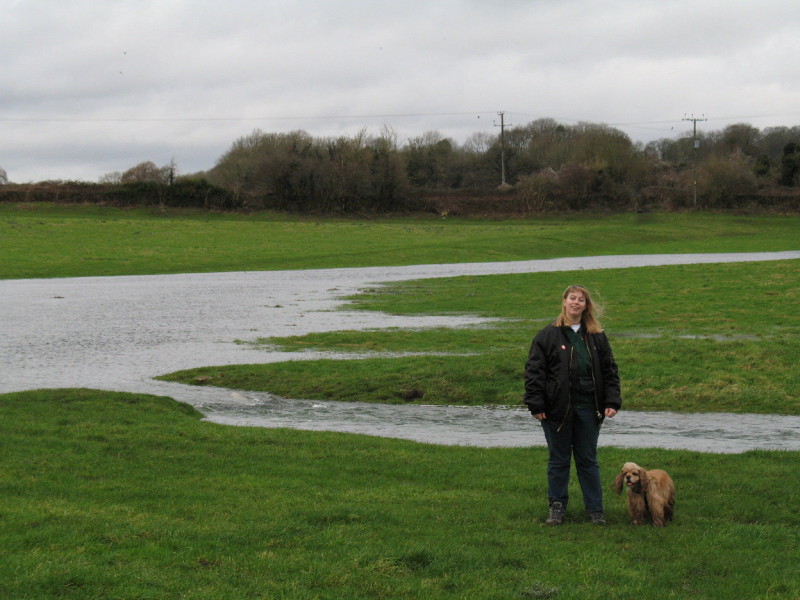
George by the infant Thames. Heavy rain had swollen this which is normally a
baby stream: my guidebook had advised coming to Thames Head after rain, as
otherwise it can be dry, as can the river bed, but not today!
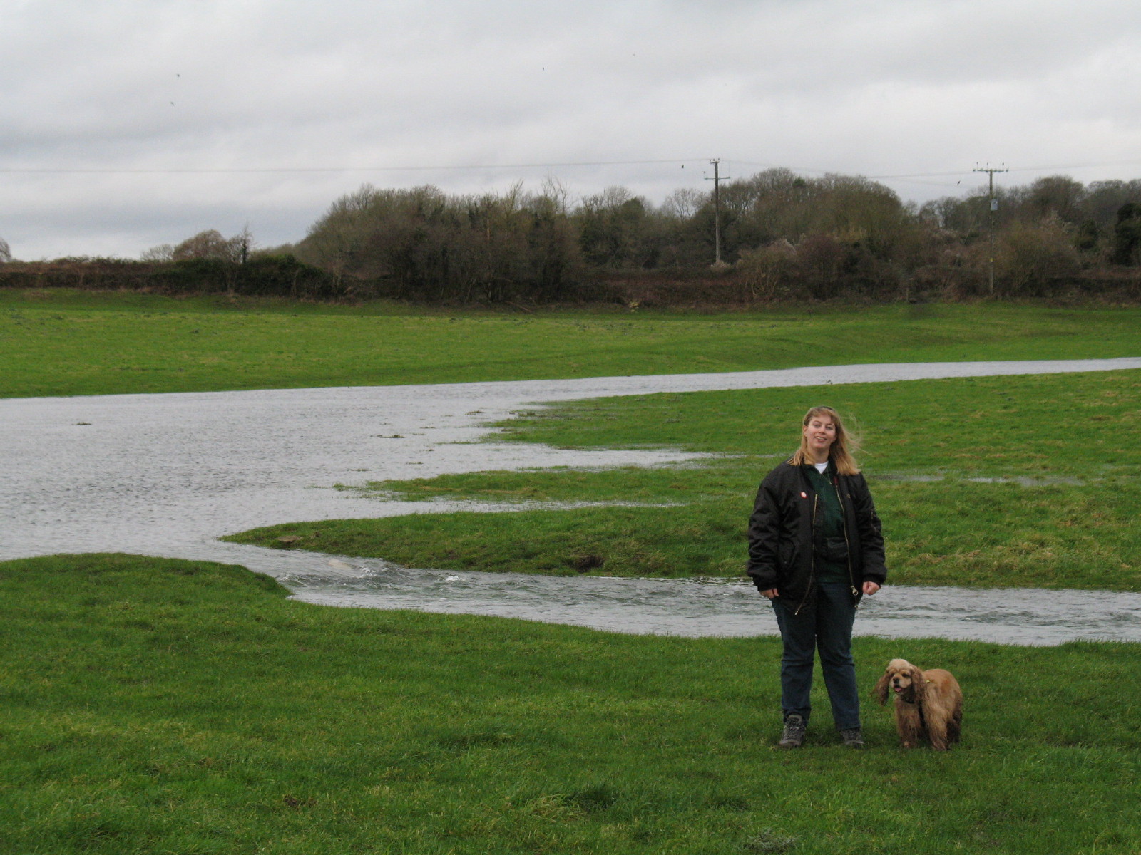
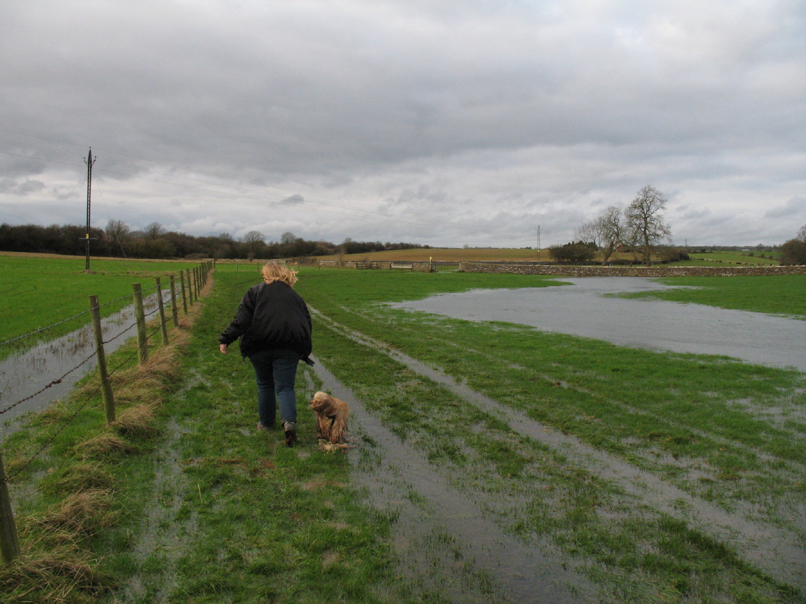
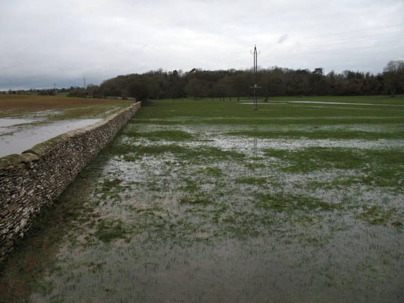
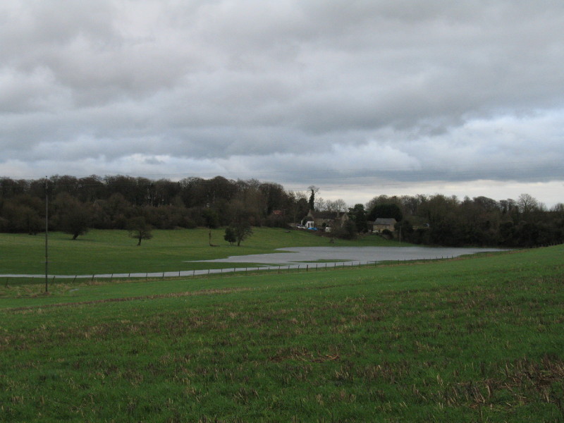
Further on, Lucy and George by the Thames as it makes its flooded way across
fields.
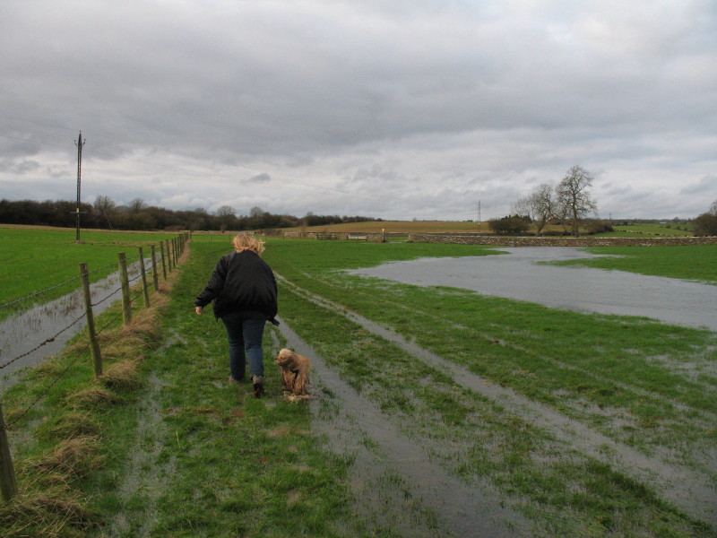
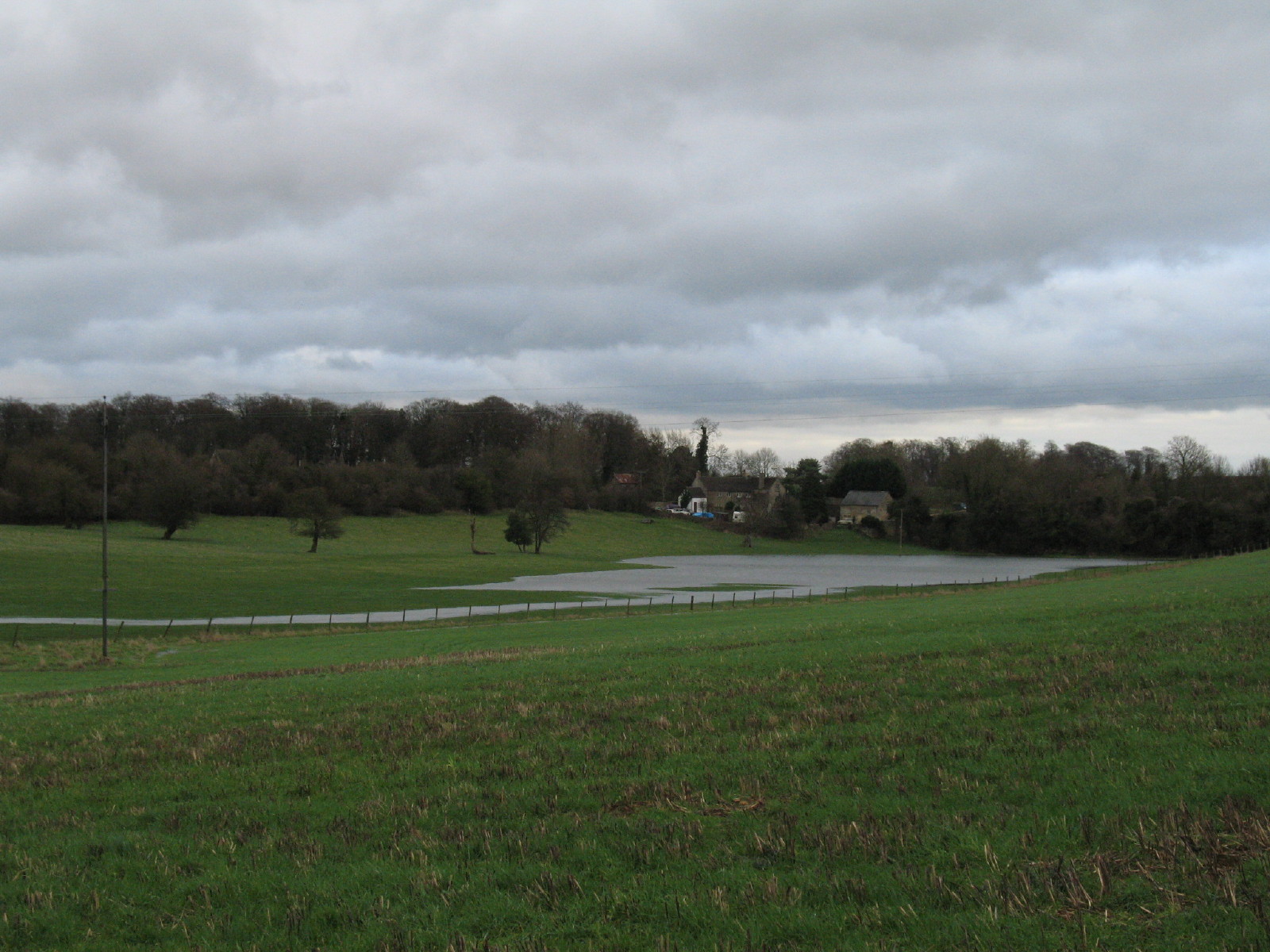
Getting closer to the source, and the going is getting wetter, not drier.
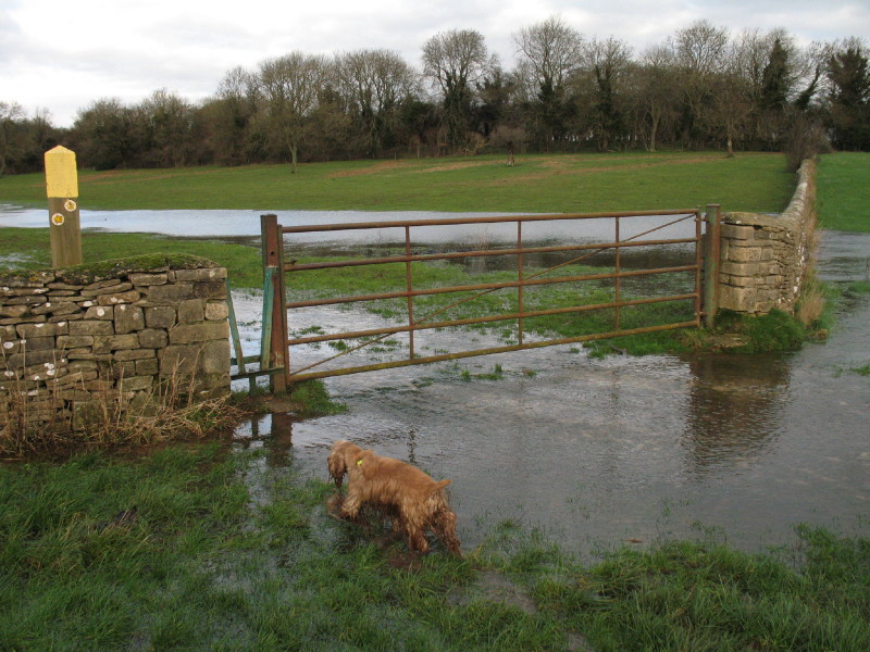
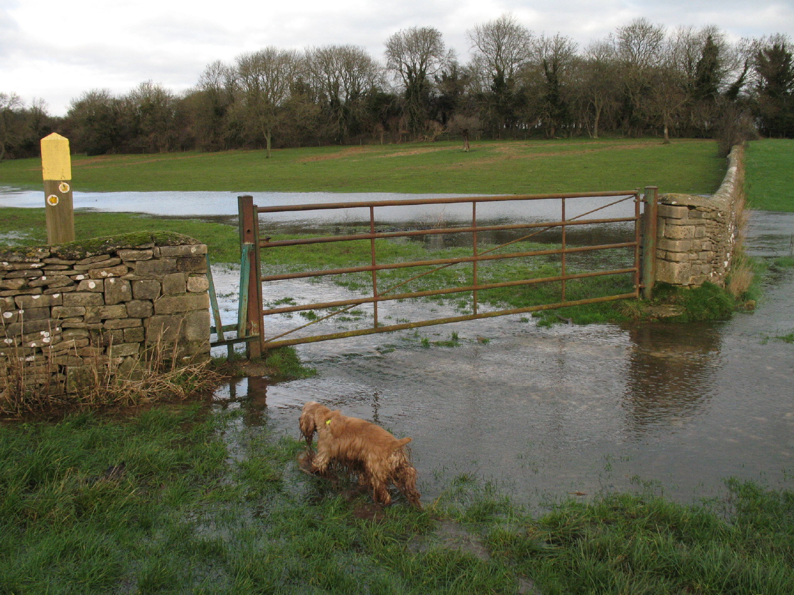
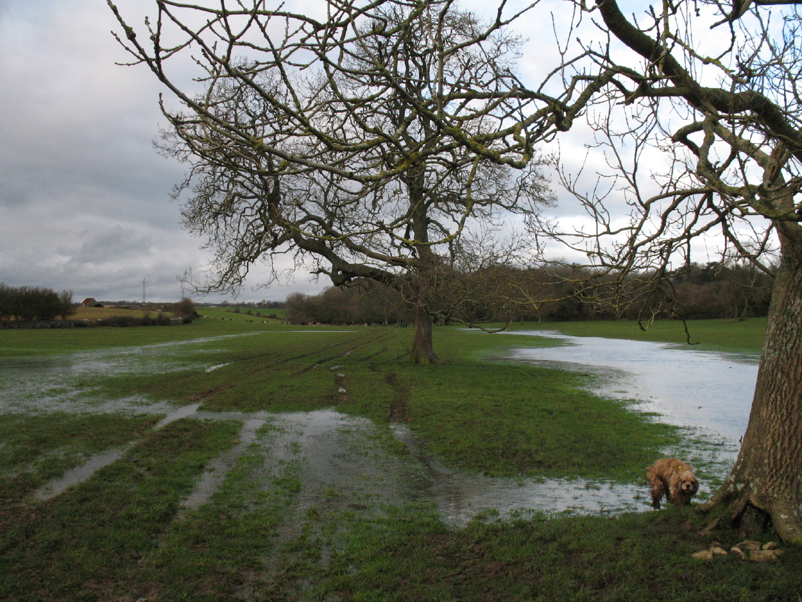
George investigates the route to the stile.
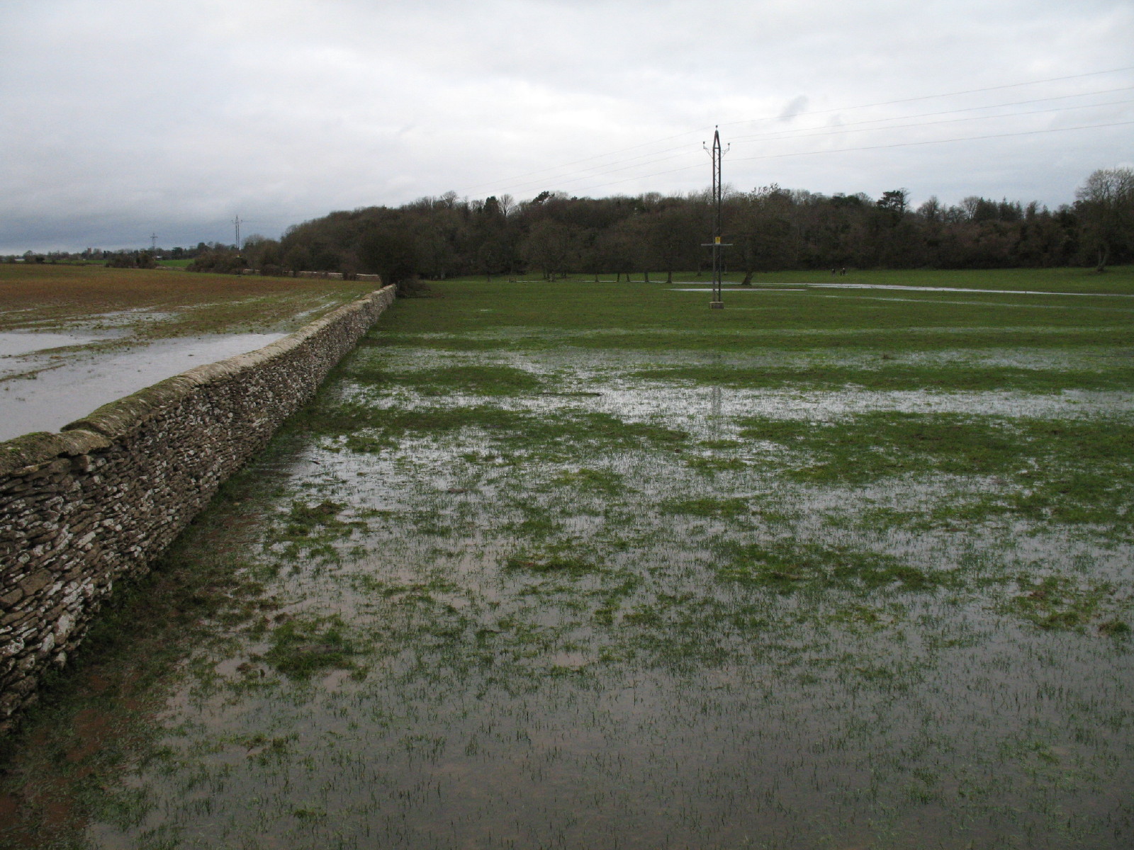
But it is wetter on the other side.

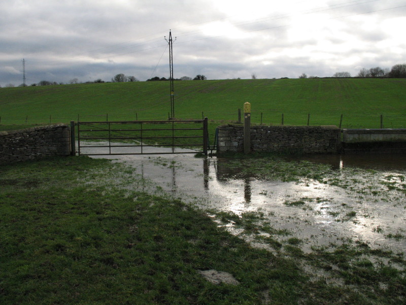
The Thames on the right, some very wet fields on the left.
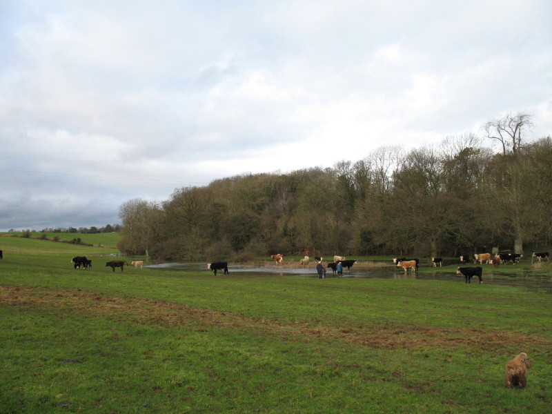
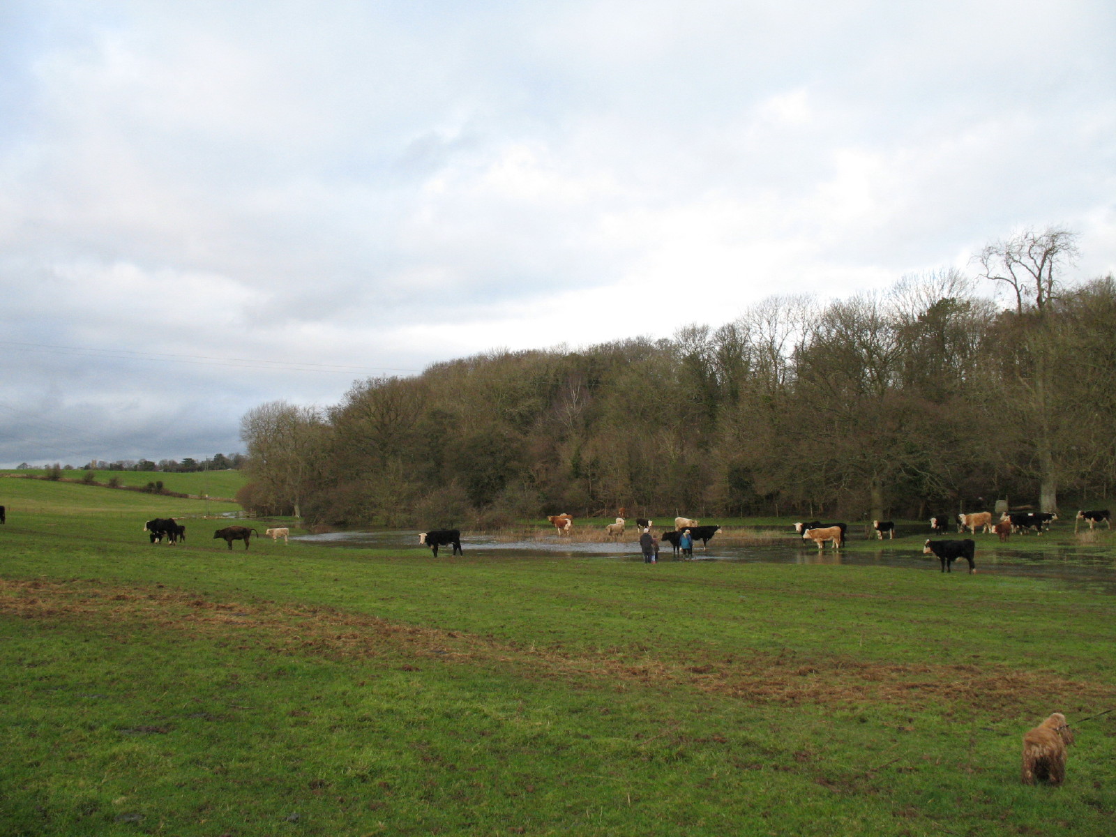
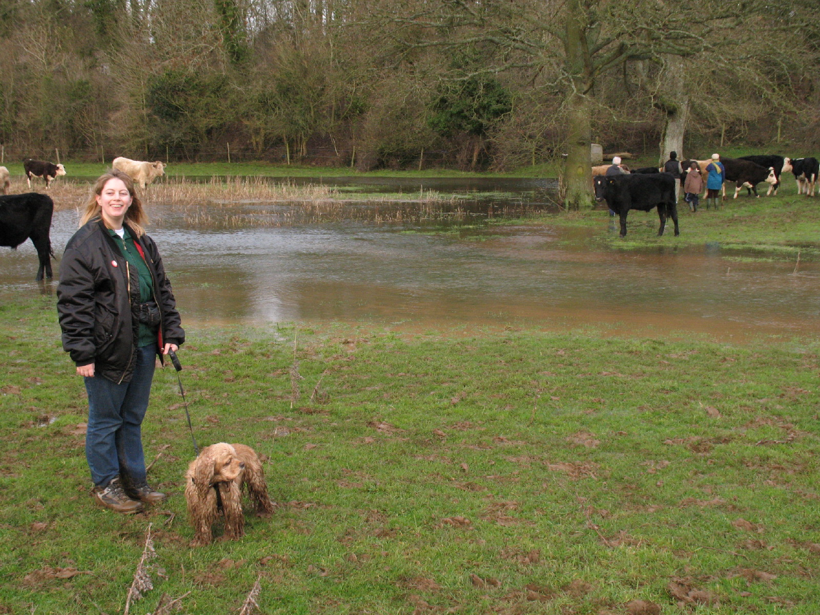
We approach Thames Head and find the cattle have got there first. The official
source is on the right of this picture, but water was flowing down from the
left, demonstrating that Thames Head is not the true source: we suspect that, as
we had been told was sometimes the case, much of the water was coming from the
Thames and Severn Canal and Sapperton Tunnel, a few kilometres to the north.
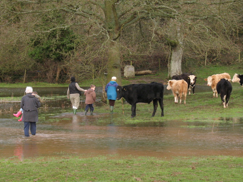
Some fellow travellers brave the crossing of the Thames to visit the marker
stone at the spring which is the official source. Unlike us, they had Wellington
boots on, but it looks as though they were only just tall enough.
The stone is inscribed as follows:
THE CONSERVATION OF THE RIVER THAMES
1857-1974
THIS STONE WAS PLACED HERE TO MARK THE
SOURCE OF THE RIVER THAMES
In fact, as today's visit shows, this spot has a poor claim to that name in wet
weather (and in dry weather when there is no water here at all). There is also a
good claim that the source is at Seven Springs near Cheltenham, where the River
Churn rises, which is further from the sea, higher above sea level, and has
water all year round - that claim is principally frustrated by the fact that
Seven Springs is the source of the Churn, and that (perhaps illogically) the
lesser tributary has always been known as the Isis/Thames. Defining the source
of a river is something the tidy human mind wants to do, but doesn't always fit
with the complexity of the real world.
See also Stephen's walk to Thames Head in
2009 for a view in dry weather.

Lucy and George by the River Thames.
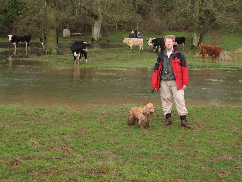
And Stephen and George.

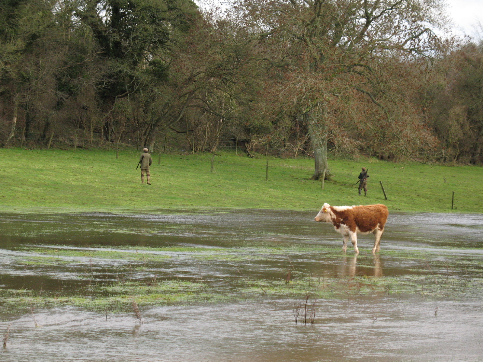
On the other side of the River, there was a shoot going on.
We then make our way a different route back to the car - this path was no drier.
A last look back at the infant Thames near Thames Head Bridge.

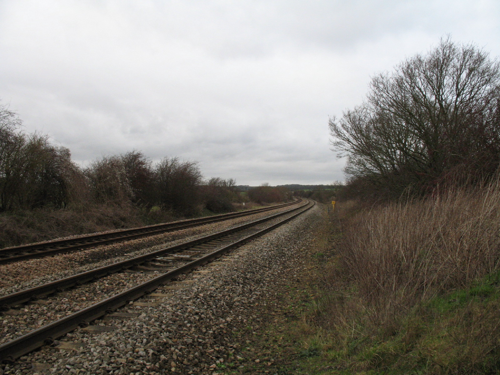
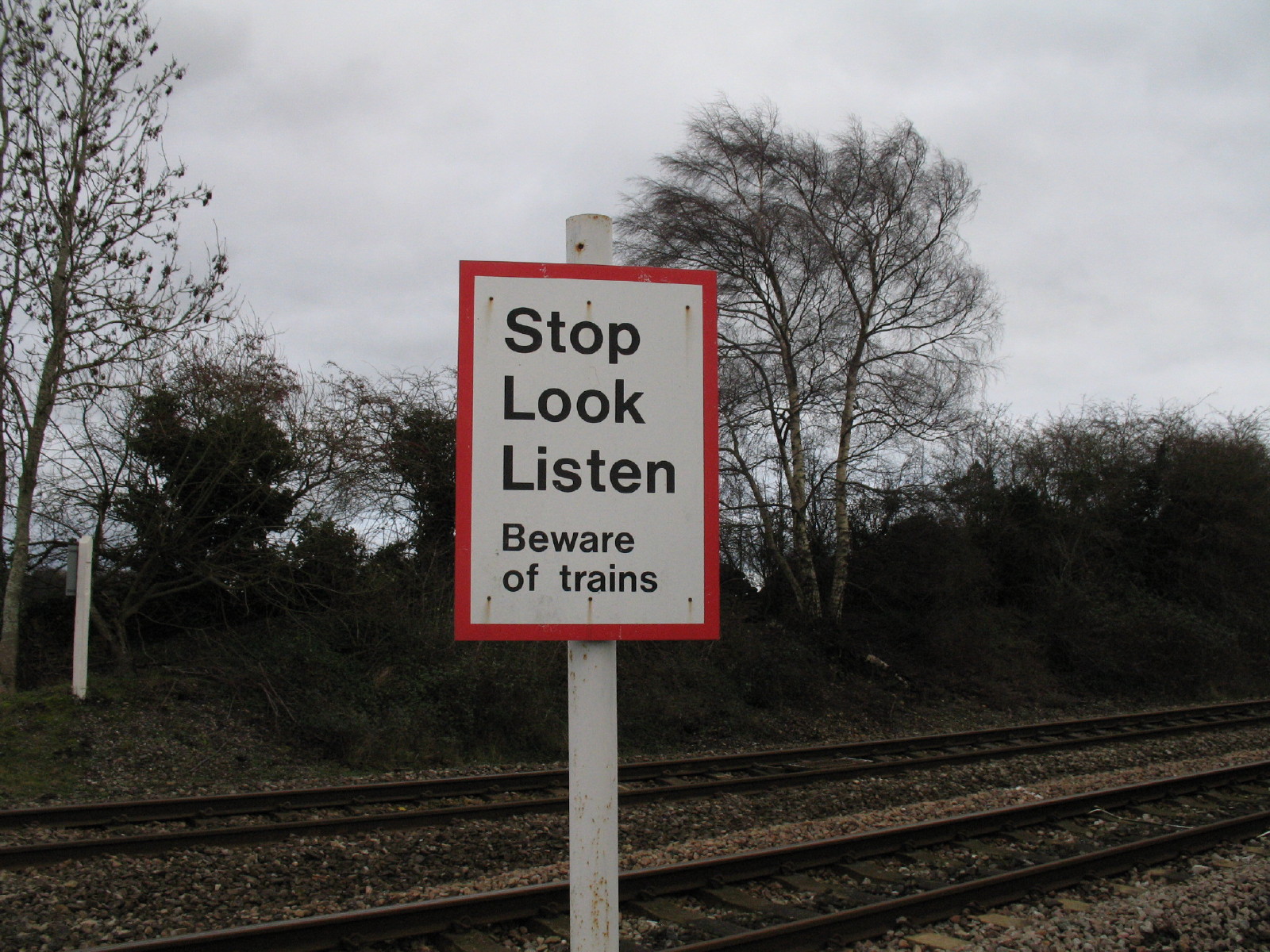
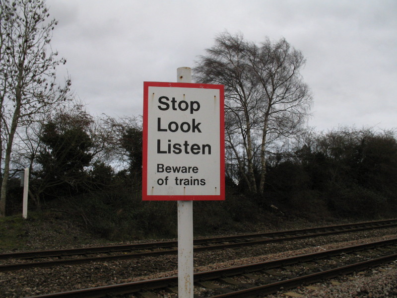
Nearly back at the car, we cross the Swindon to Gloucester railway line
Well, a very damp walk at the end, and in a way slightly disappointing that
Thames Head wasn't the source (or even the apparent source) today, but
nevertheless a grand winter's day out.
|