Yorkshire Dales Holiday:
Pen-y-ghent and Thorpe Fell
19 July 2005 - Pen-y-ghent
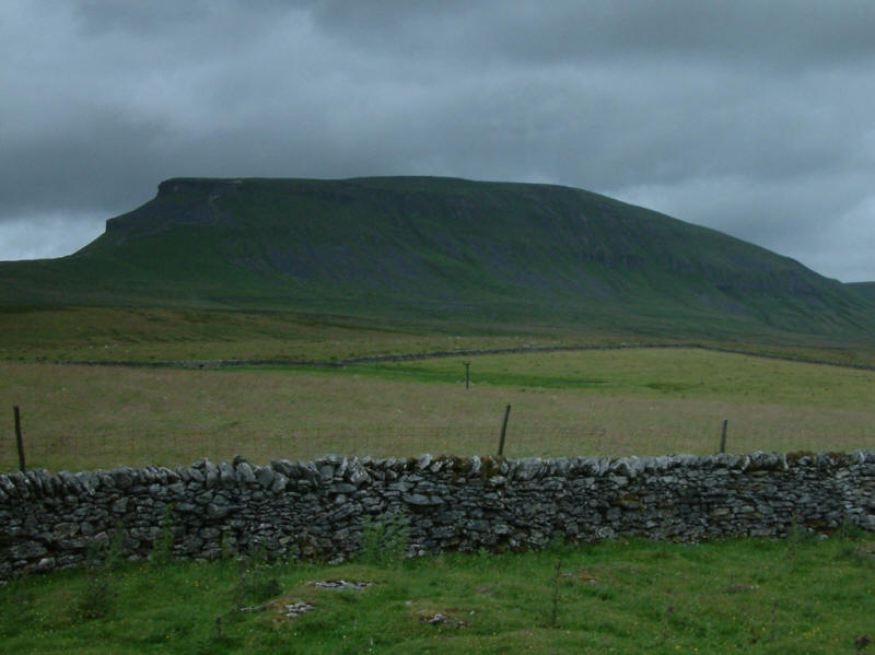
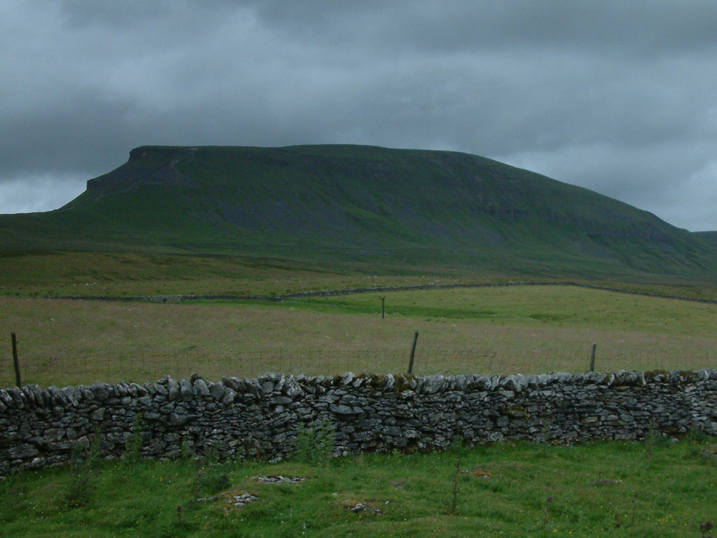
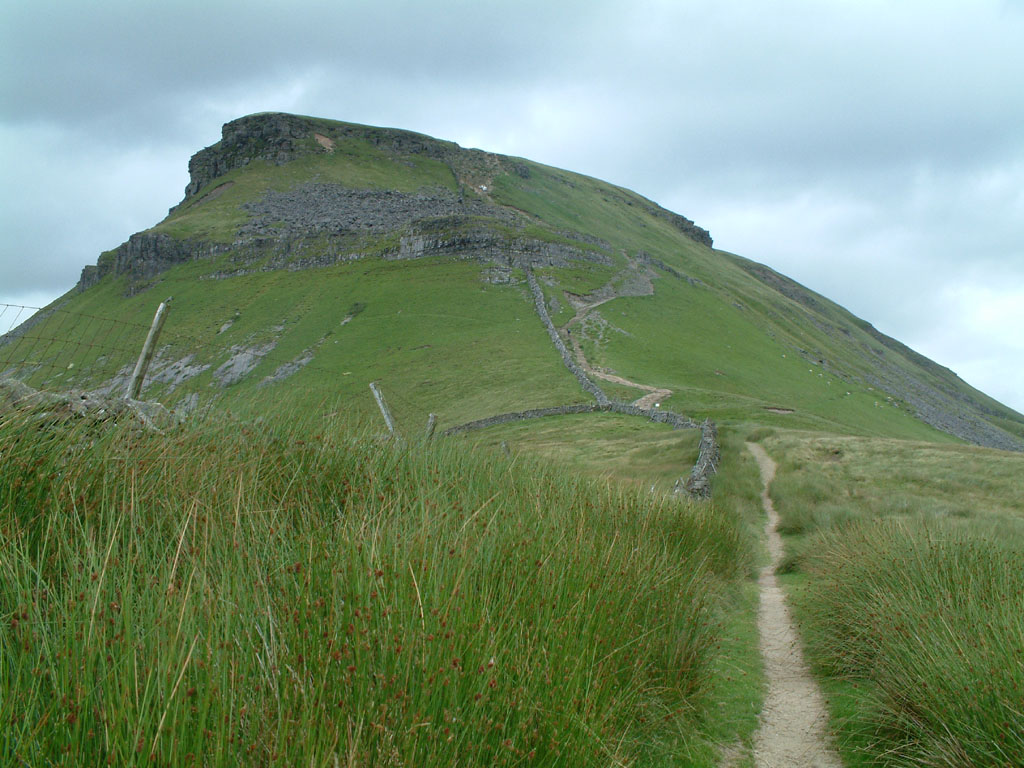
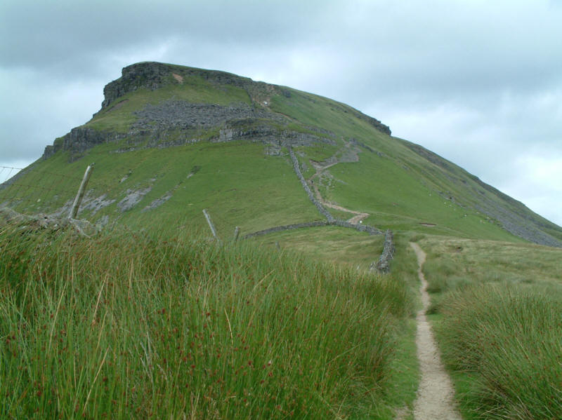
The ridge of Pen-y-ghent from the Silverdale Road

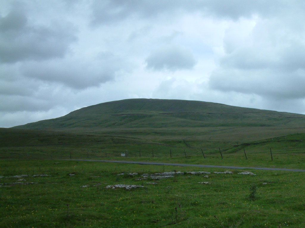
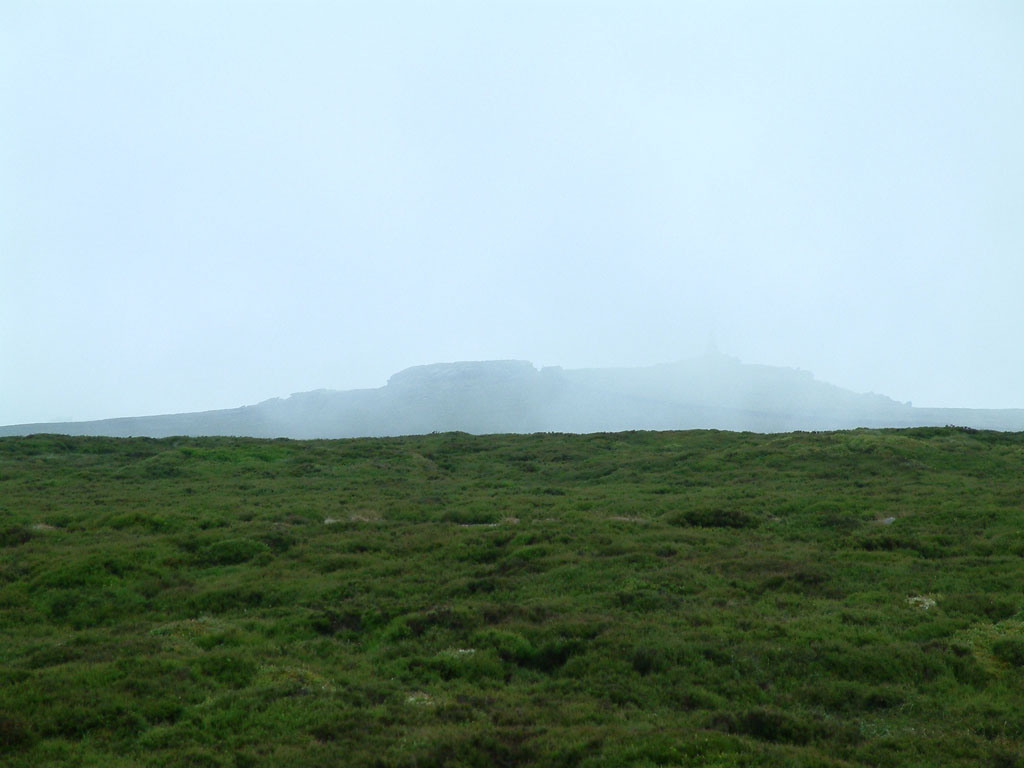
Looking the other way, Fountains Fell
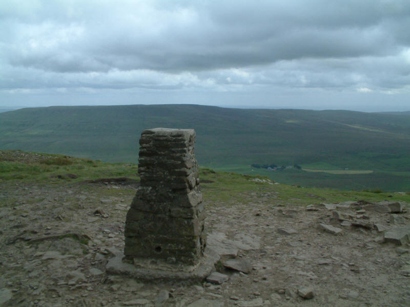
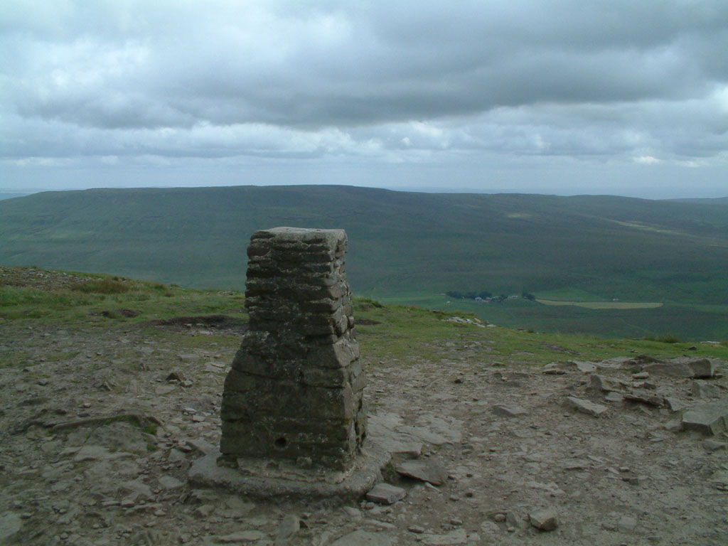
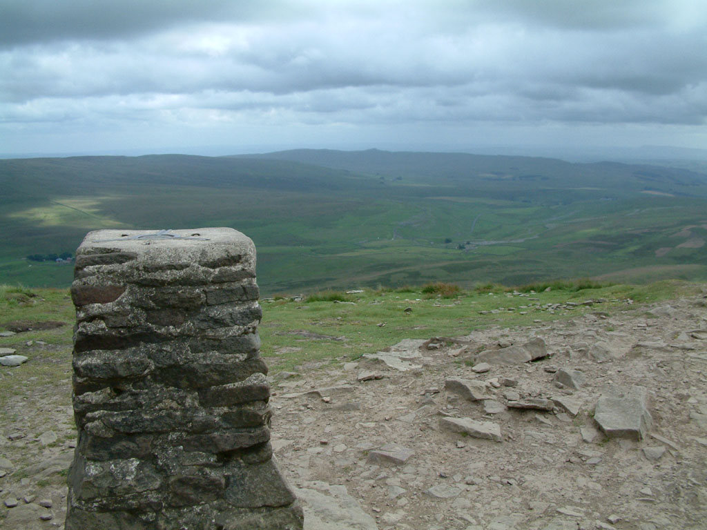
Fountains Fell from the trig point on the summit of Pen-y-ghent (694m / 2278ft
above sea level)
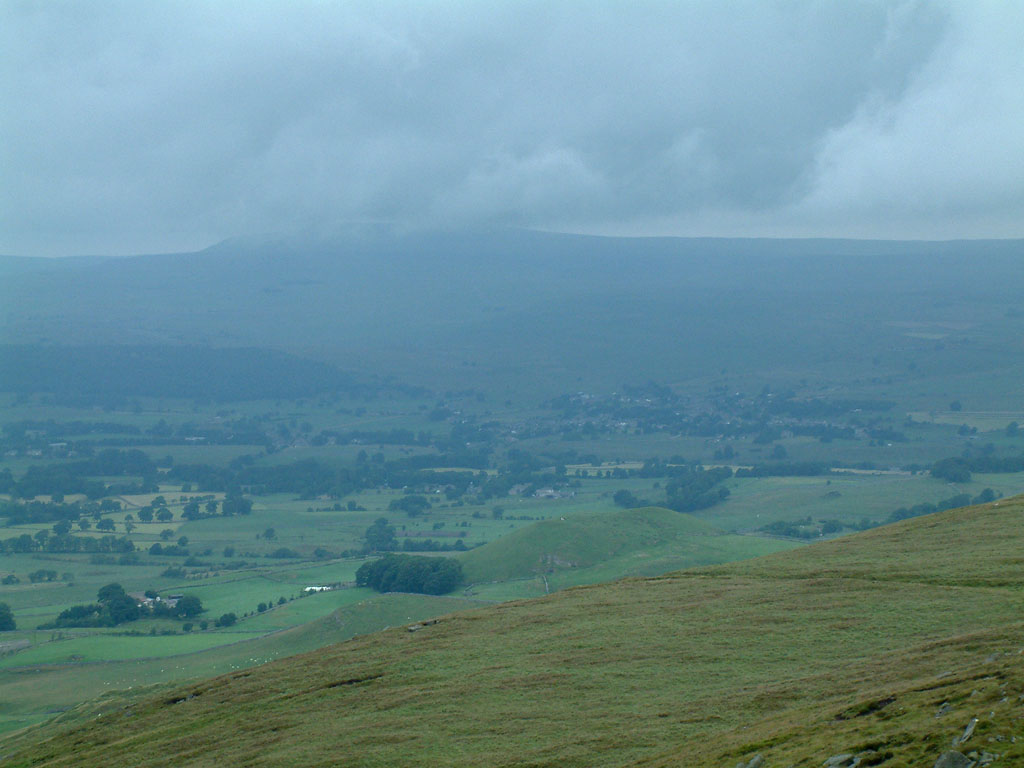
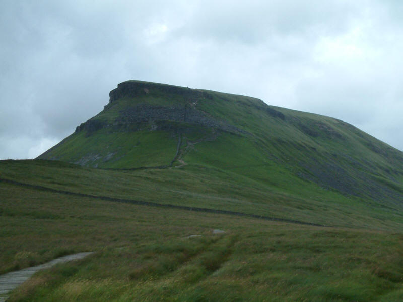
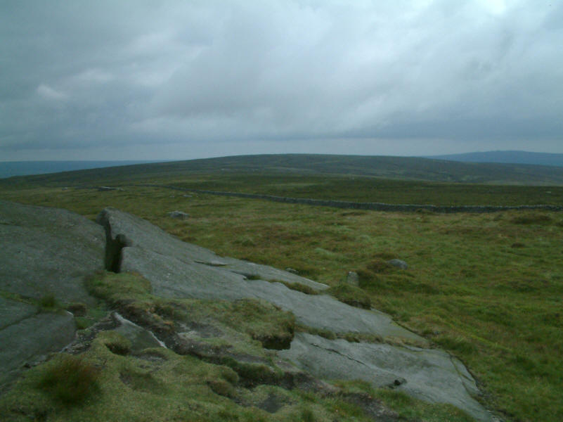
Ingleborough from Pen-y-ghent
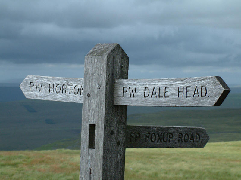
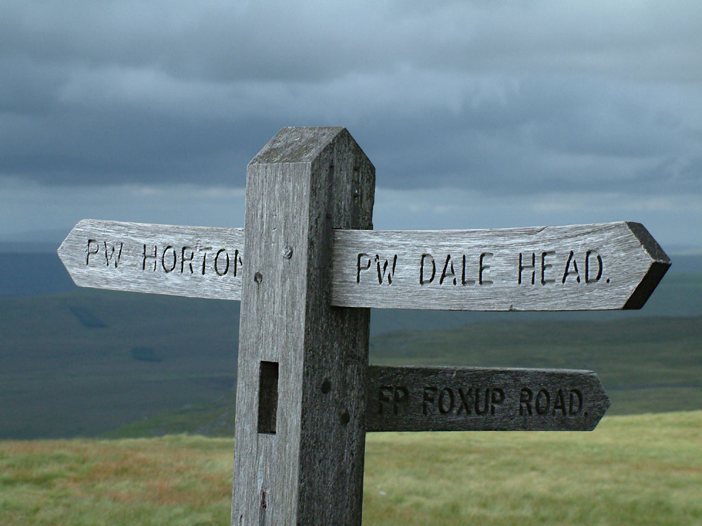
Our way up Pen-y-ghent lay up the Pennine Way, which then continues to
Horton-in-Ribblesdale. One hopes that those doing the Pennine Way have enough
sense not to take the signpost too literally, as the arm pointing to Dale Head,
while correct in pointing walkers over the wall at its base, really needs to say
"and then turn sharp right".

View to the south and south-east, including the peak of Rye Loaf Hill in the
centre of the picture
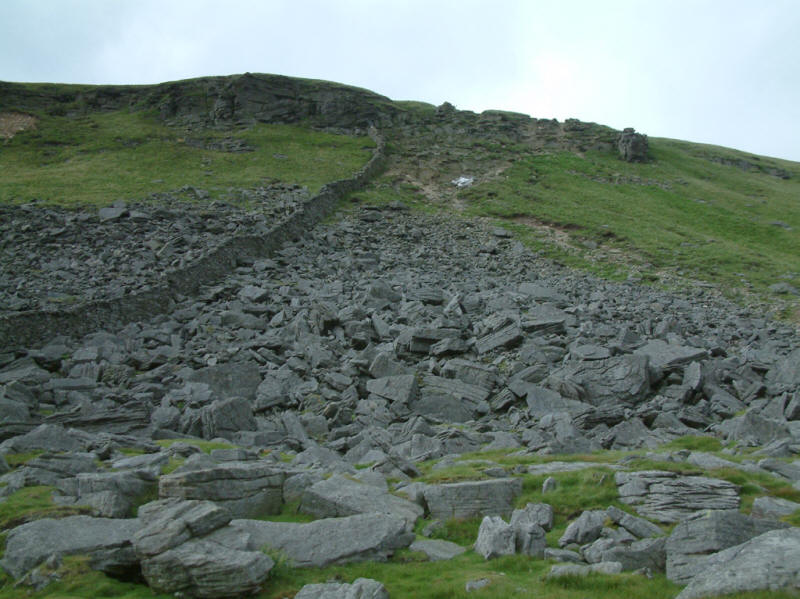
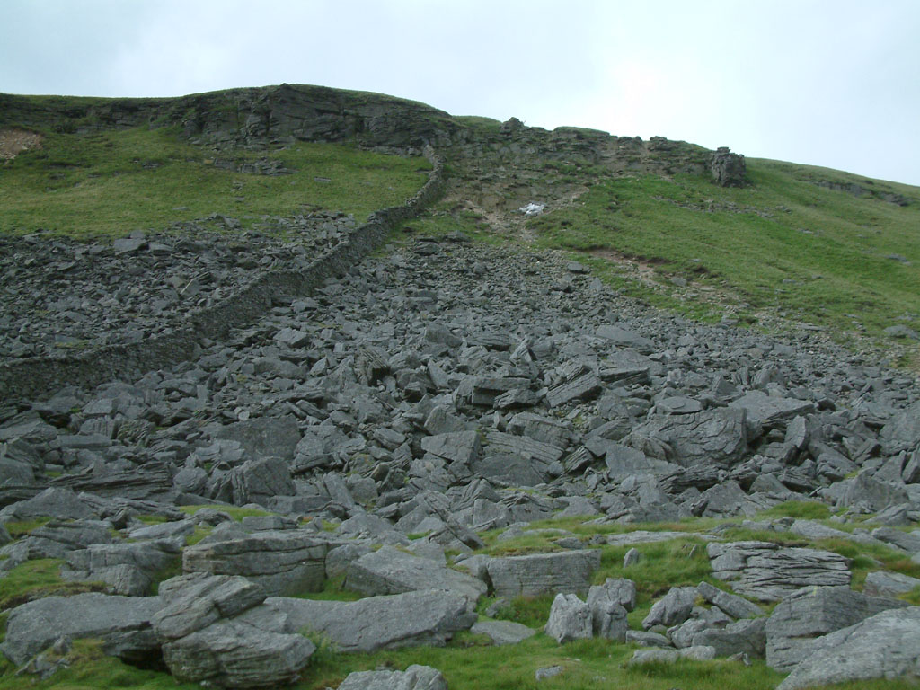
Chaotic rock falls on the descent. The white splodge is a bag of rock air-lifted
in for footpath construction work. The notice at the base of the steep path said
that work was due to be finished by 31 March 2005 - whether it is over-running
by several months, or whether this bag has been left behind by the experts in
footpath restoration of which the sign boasts, is unclear.
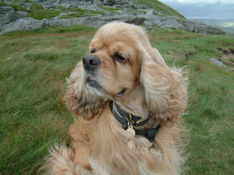
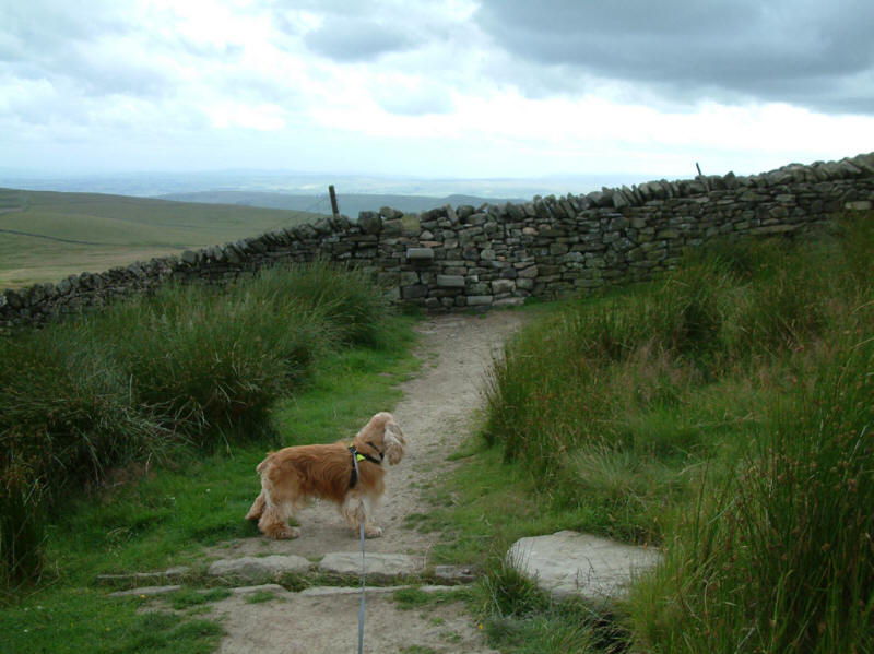
The wind was very strong, and whistling dramatically between the stones of the
dry-stone wall. George looks keenly into the wind while Stephen takes a short rest.
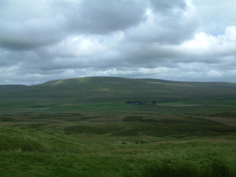
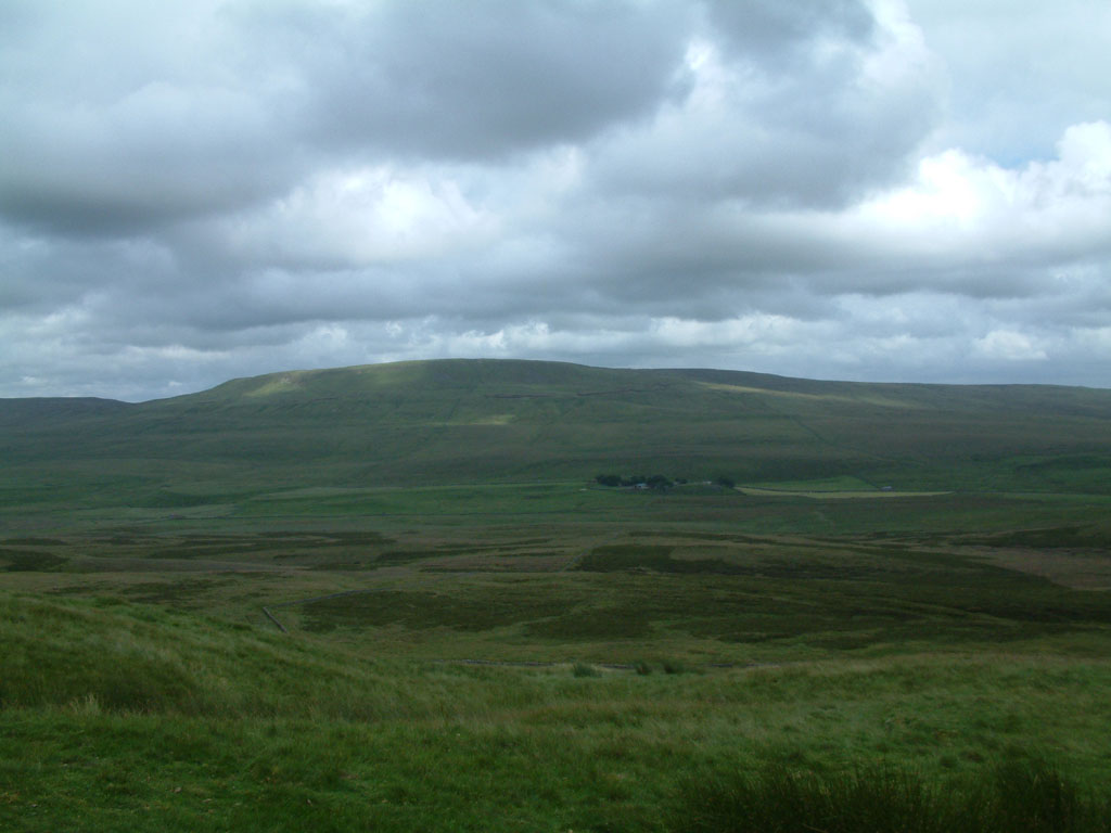
Looking past Blishmire House to Fountains Fell
Looking back up the path to Pen-y-ghent
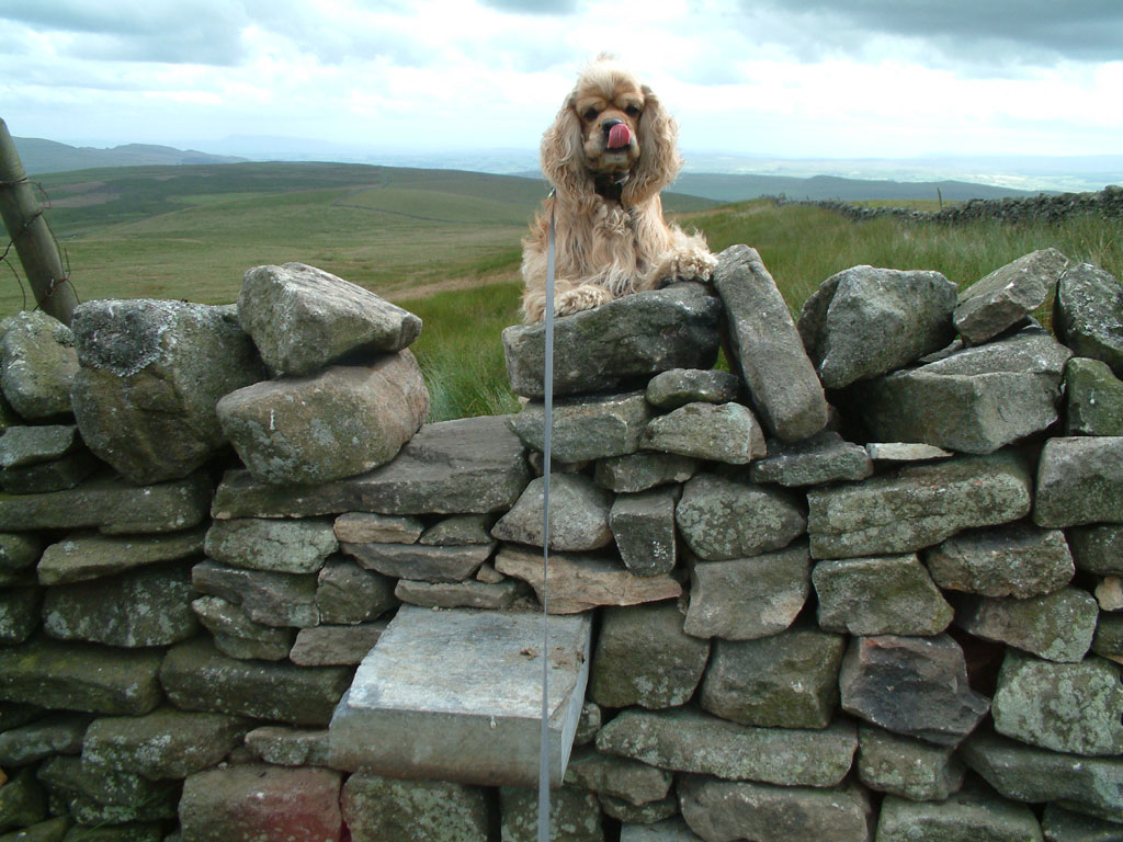
George planning his ascent of the stile
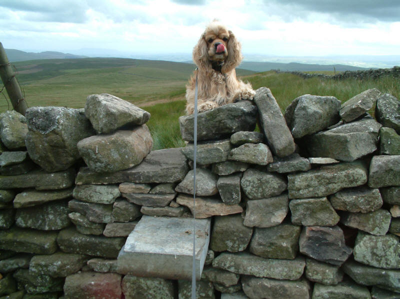
No problem!
Looking back along the board walk of the Pennine Way
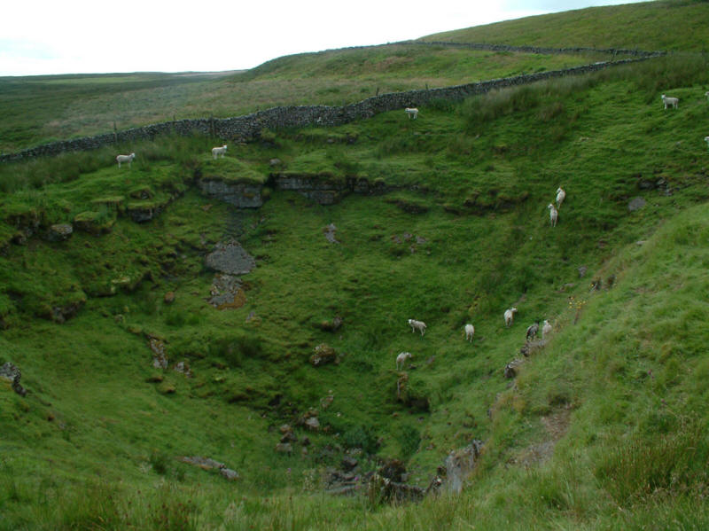
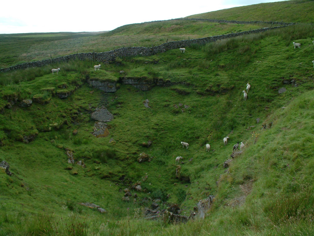
One of the shake holes prominent in this limestone country
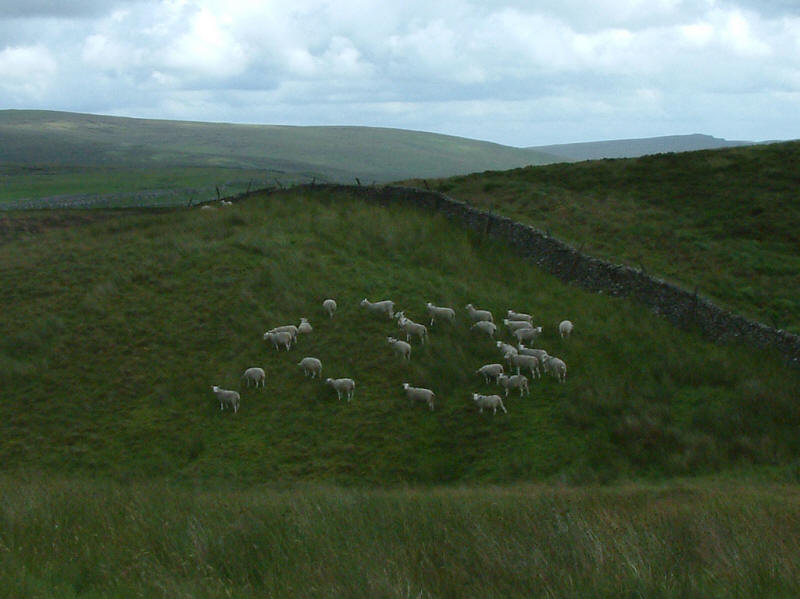
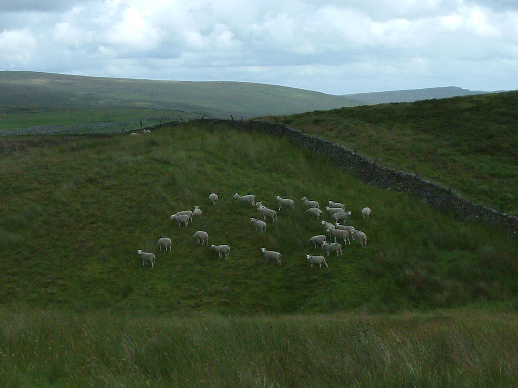
A group of sheep flocking together
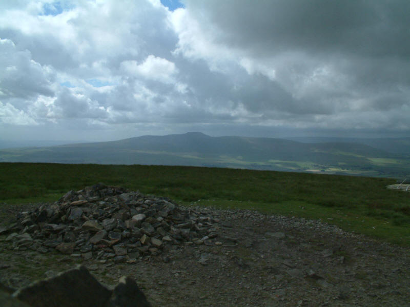
22 July 2005 - Thorpe Fell Top and Cracoe Fell
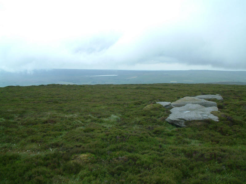
From Thorpe Fell Top (506m) looking north-east under low cloud to Grimwith
Reservoir. I had ascended from the village of Thorpe to the north: the paths on
the northern flank marked on the OS map were not apparent on the ground, and it
was a slightly weary trudge to this uninspiring summit.
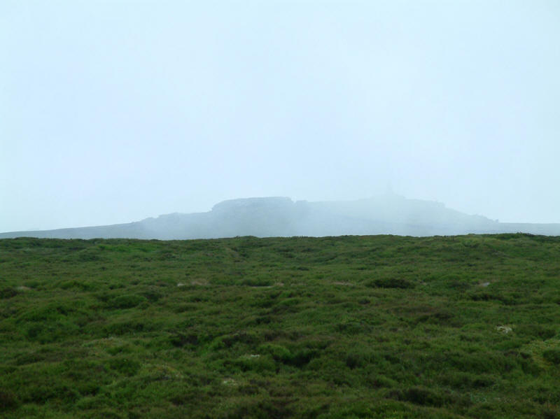
Looking south-west to the summit of Cracoe Fell. The tor on the right, hardly
visible in this picture, is surmounted by an obelisk, and looked distinctly
higher than Thorpe Fell Top.
I felt compelled to walk back to the track which runs around the northern and
western side of Thorpe Fell Top, and continues as a path alongside the wall all
the way to the top of Cracoe Fell.

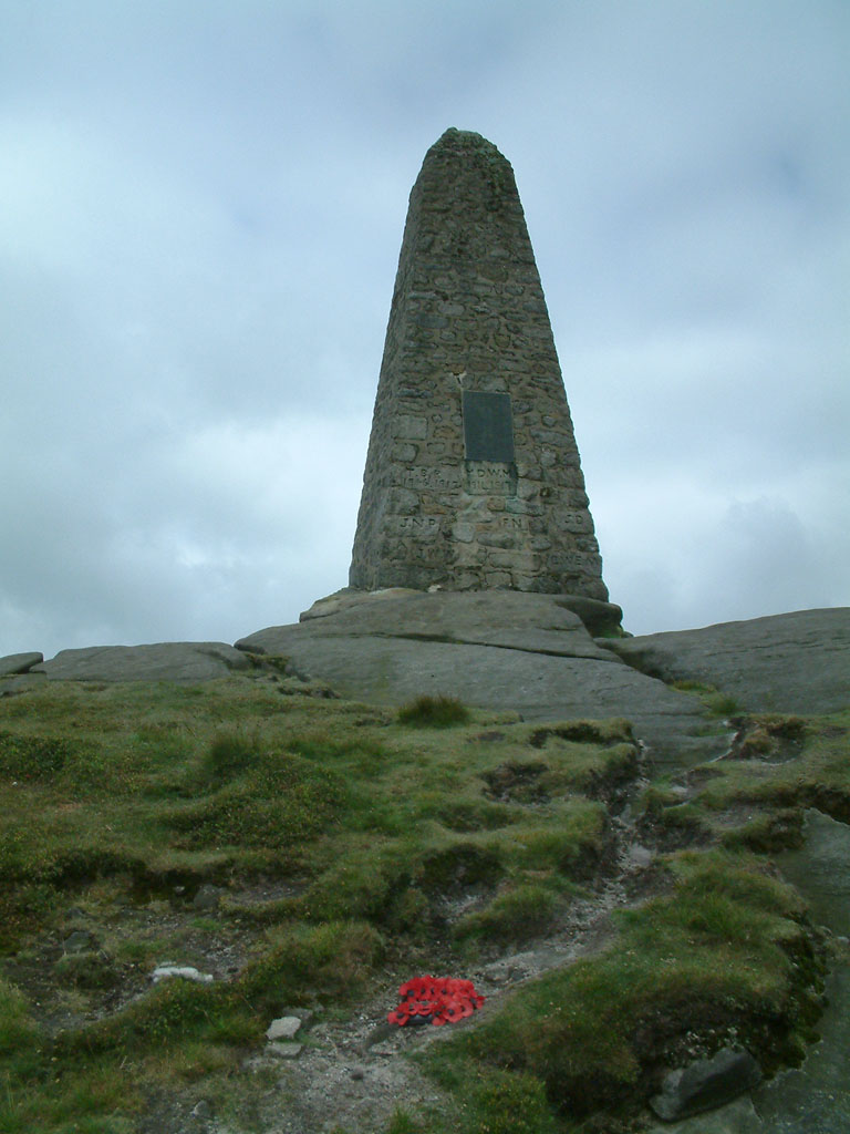
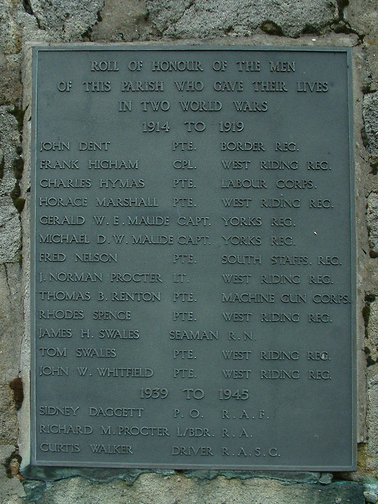
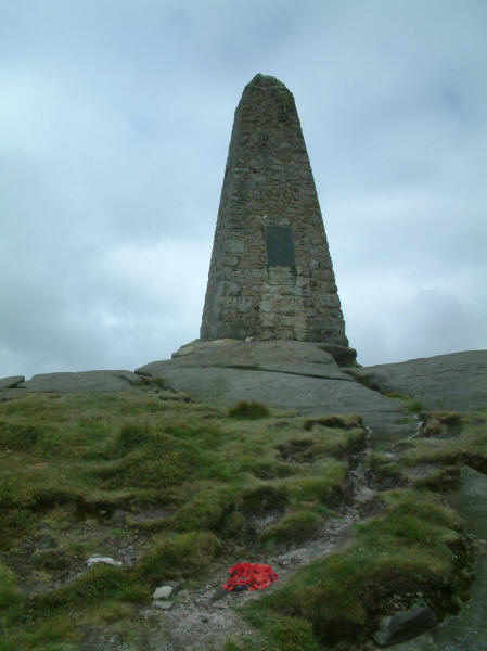
The highest rocks are topped with an impressive war memorial
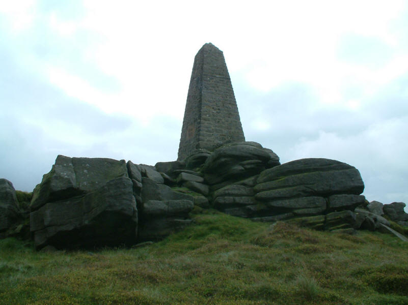
The war memorial seen from the western side, with the highest of the rocks.
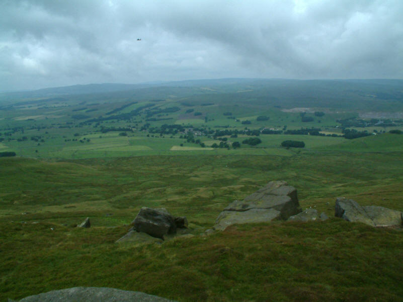
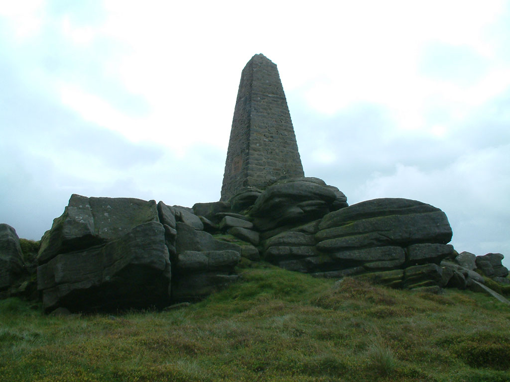
From the base of the memorial, looking north-west across Cracoe and Linton Moor
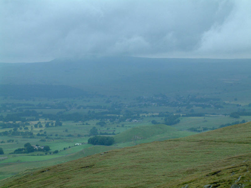
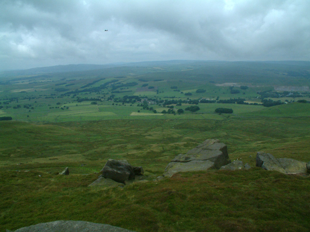
Looking north over Butter Haw Hill to Grassington and Grassington Moor behind,
with Great Whernside in the
cloud
Looking back to Thorpe Fell Top, with Simon's Seat right. It was fairly clear
from the height of the rocks above the wall that this tor is the summit of the
fell, being higher than the 506m of Thorpe Fell, perhaps being as much as 510m.
[Post walk note: subsequent surveying has confirmed that Cracoe Fell is higher
than Thorpe Fell.]
Yorkshire Dales holiday July 2005
|
|