Walk to Foxfield and Duddon Mosses
28 April 2007
The five of us arrived on Saturday afternoon for almost a week in the Lake
District.
Stephen and George started their holiday with a circular
walk from Broughton to Foxfield and on to the Duddon Mosses.
After a walk along the Occy we joined the Cumbria Coastal Way at Eccle Riggs,
from where we crossed the golf course and behind the hotel of the same name.
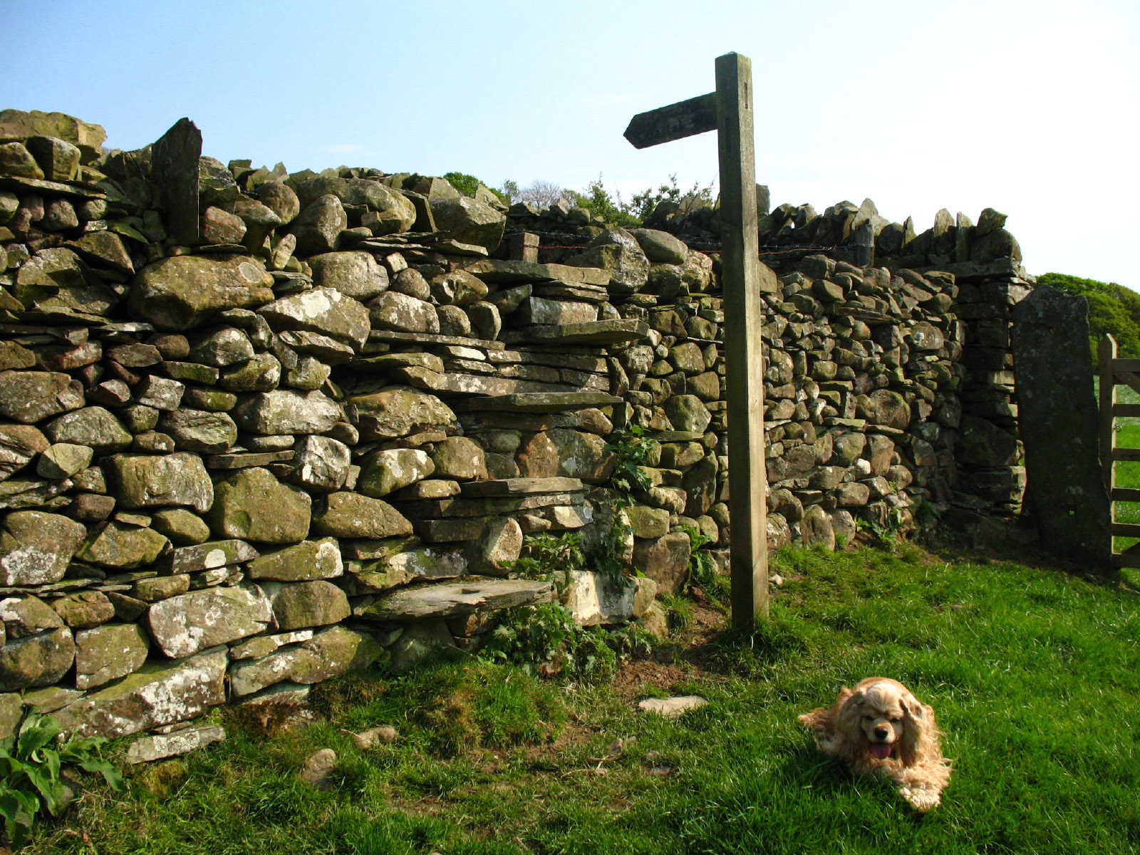
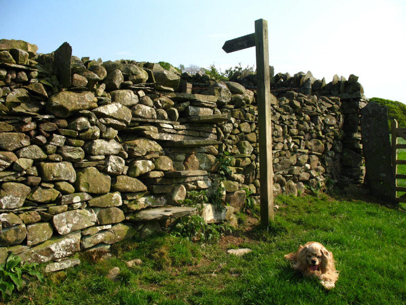
George waits by a stile as we ascend through fields to the lane along the ridge
to Foxfield.
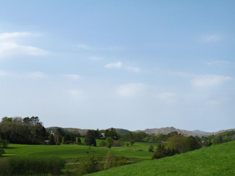
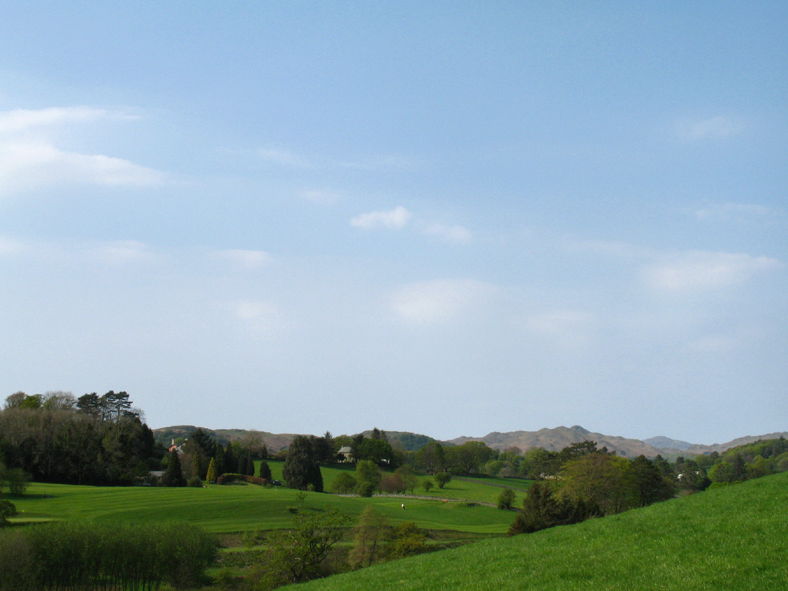
Looking across the fields and golf course to the Dunnerdale Fells
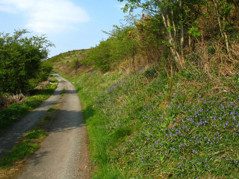
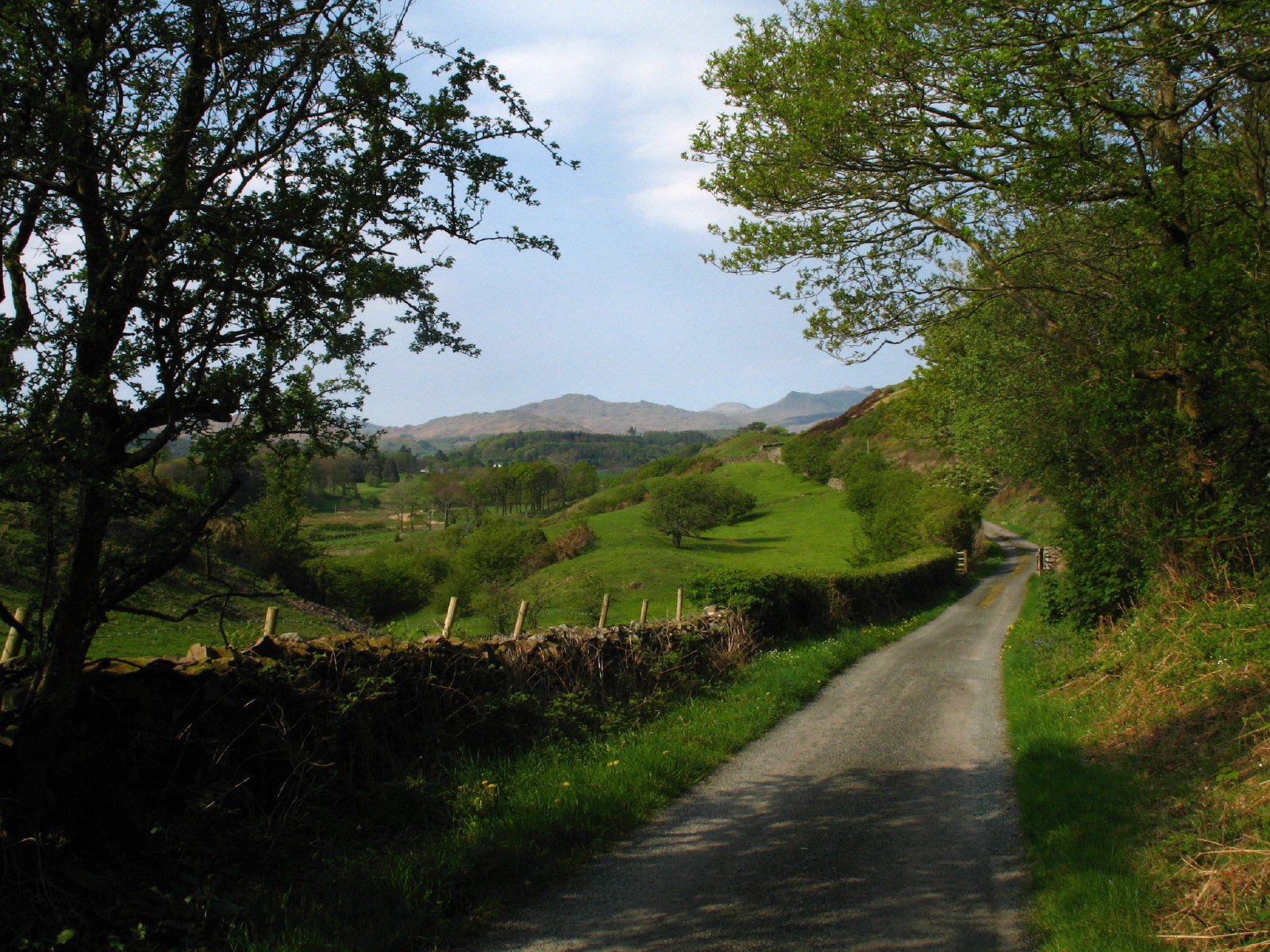
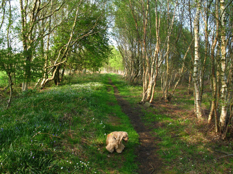
Bluebells by this delightful quiet lane

Another look back towards the Dunnerdale Fells and the Coniston Fells: Caw is
the summit on the left, Grey Friar sits right behind the col, and the obvious
peak on the right is White Pike, leading on to the other Coniston Fells.

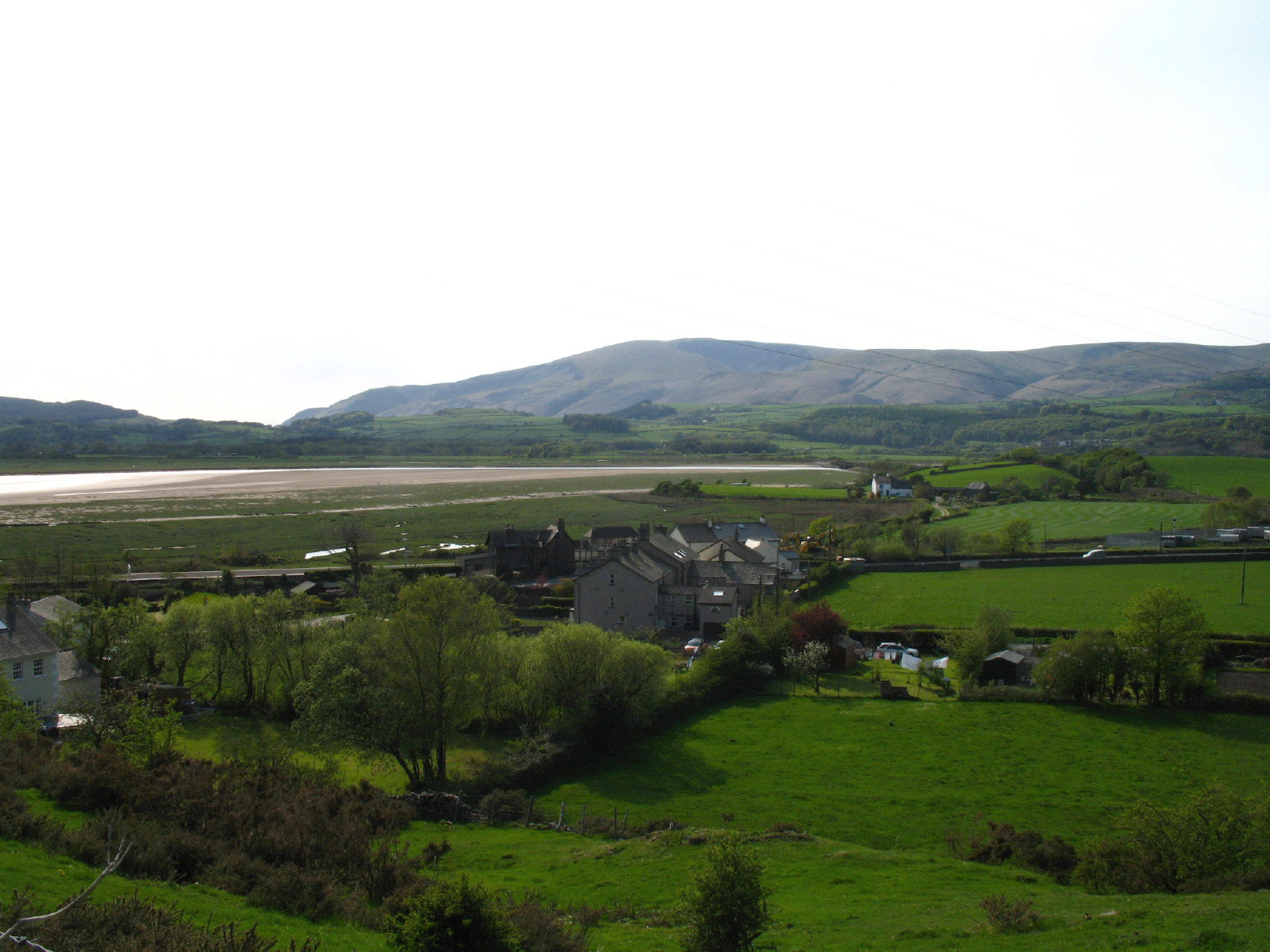
Looking across Foxfield to Black Combe
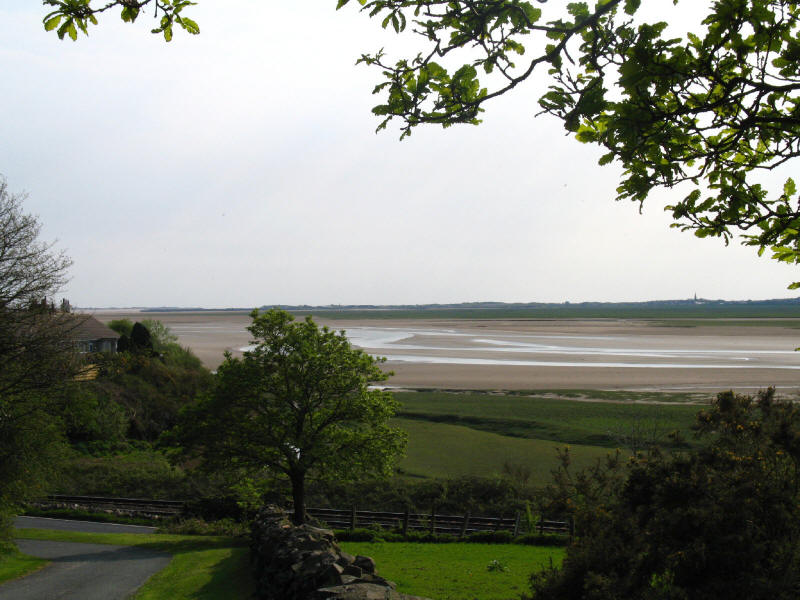
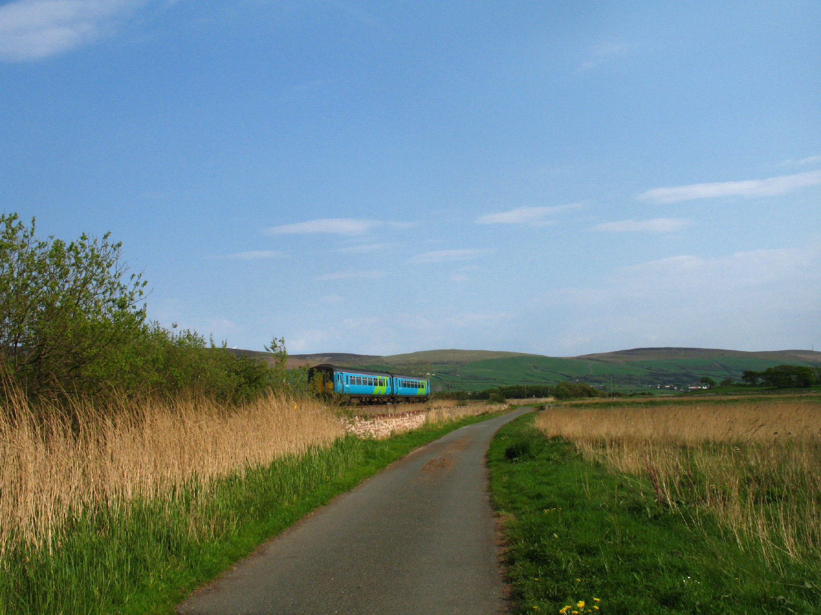
The Duddon estuary as we descend towards the main road and the railway.
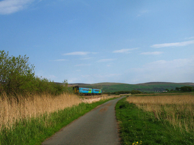
Having crossed the railway, we make our way along the edge of the marshes with
the railway to our left
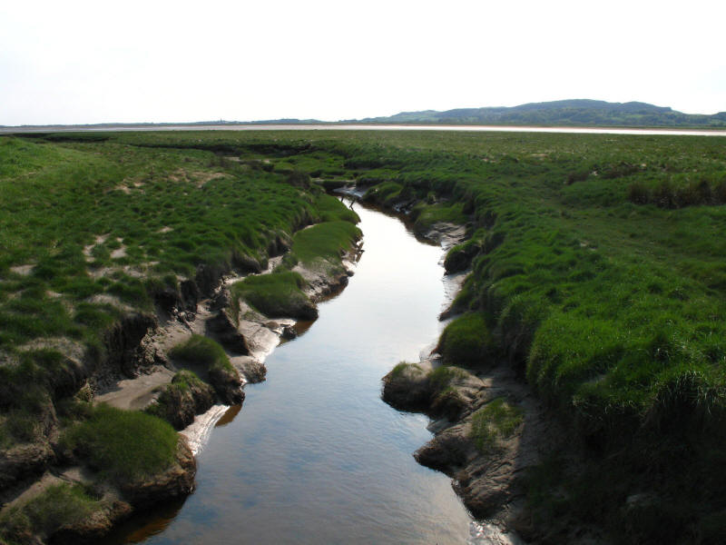
Looking along Galloper Pool to the Duddon estuary to Lowscales and Millom Park
We then cross a corner of Duddon Mosses, a National Nature Reserve.
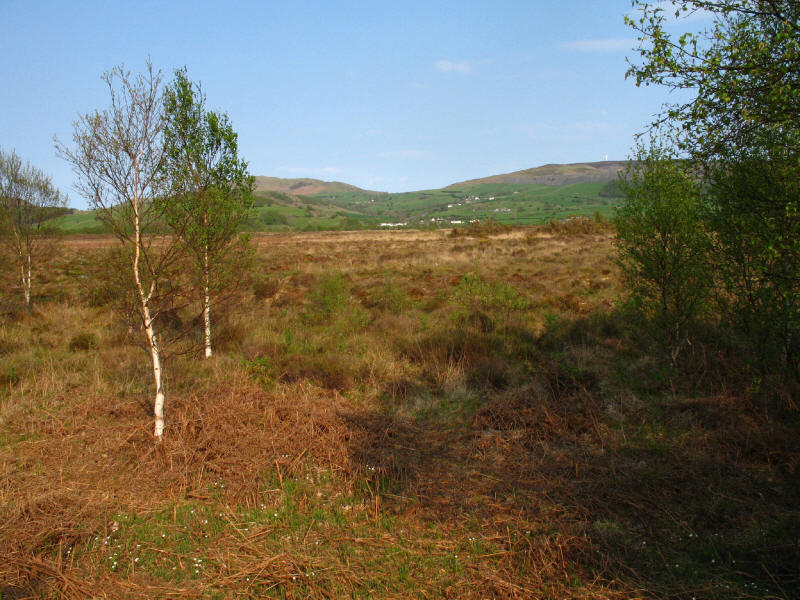
Looking across the mosses. Apparently this group of lowland raised peat bogs is
one of the most important in Europe.

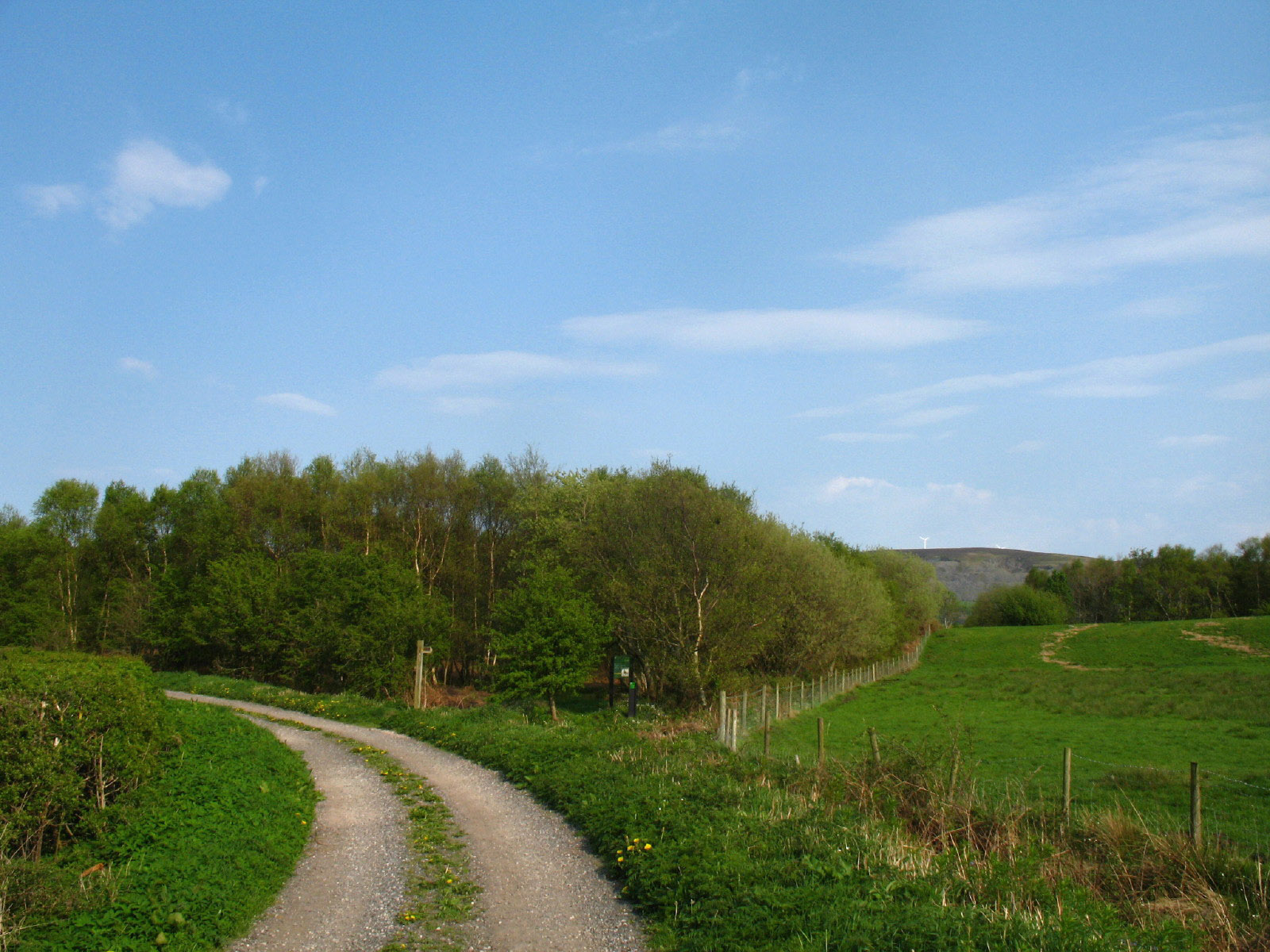
The point where the footpath emerges from the wooded area, from where the track
takes us to the main road by way of Simon Lock Bridge.
We then take a path which is marked on the map, but unmarked on the ground up
the side of Foxfield Bank. A combination of careful map reading and the GPS
guides us from stile to stile
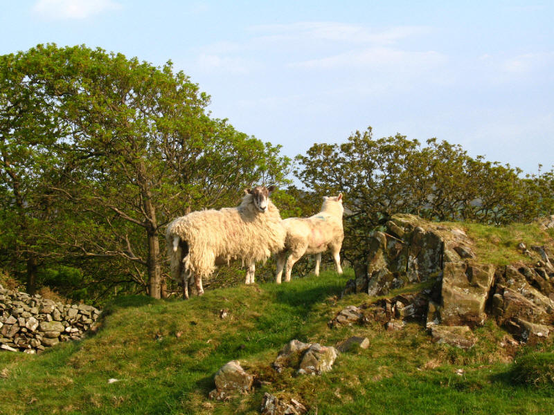
Sheep in the fields above Coal Gate
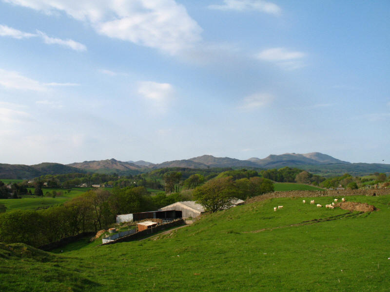
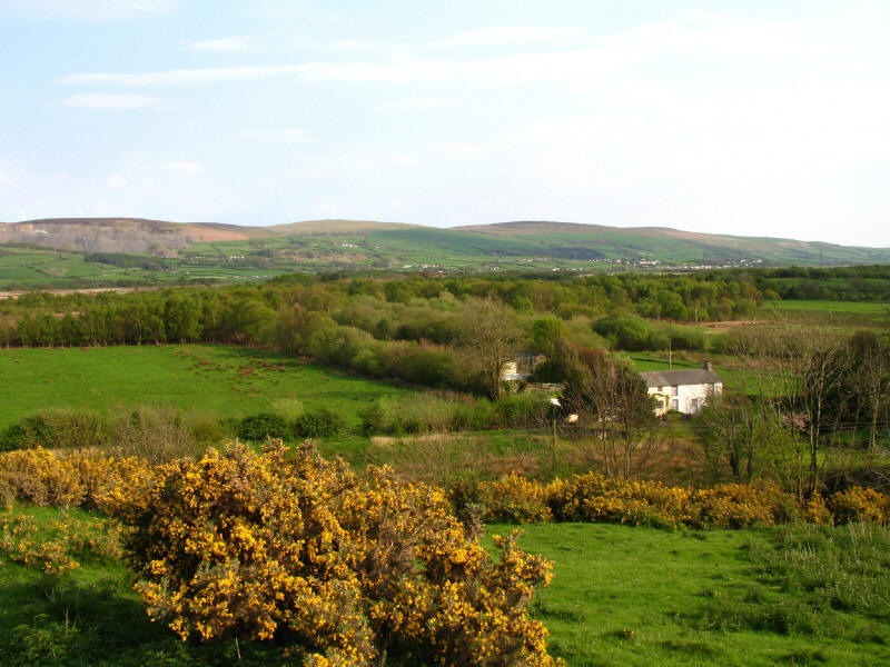
Looking down on Coal Gate, with a grand view inland. The highest peak in the
left-hand cluster is Stickle Pike; behind the col of Kiln Bank Cross is Harter
Fell, with Scafell to its left; just to the right of centre-picture is Caw and
then declining towards the col is Pikes and Dawson Pike; behind that col is Grey
Friar; the land then rises to the peak of White Pike with Coniston Old Man on
the right.
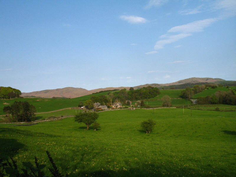
Looking across fields to Boothwaite Nook to the Subberthwaite and Blawith fells
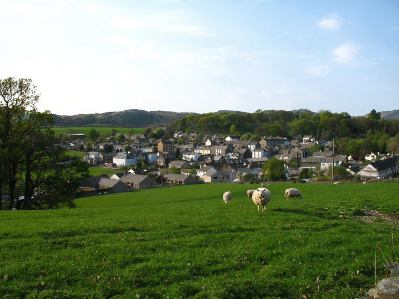
Looking down on Broughton - nearly home.
An interesting walk, getting to know a few new places and some familiar ones
from new directions. The GPS recorded a total of 8.21km and 191 metres of ascent
in 2 hours 8 minutes including 25 minutes stopped.
Lake District holiday, April/May 2007
|
|